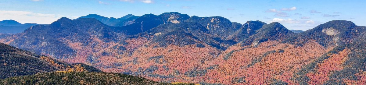
Gray (7), Skylight (4), and Marcy (1)

8/16/2026

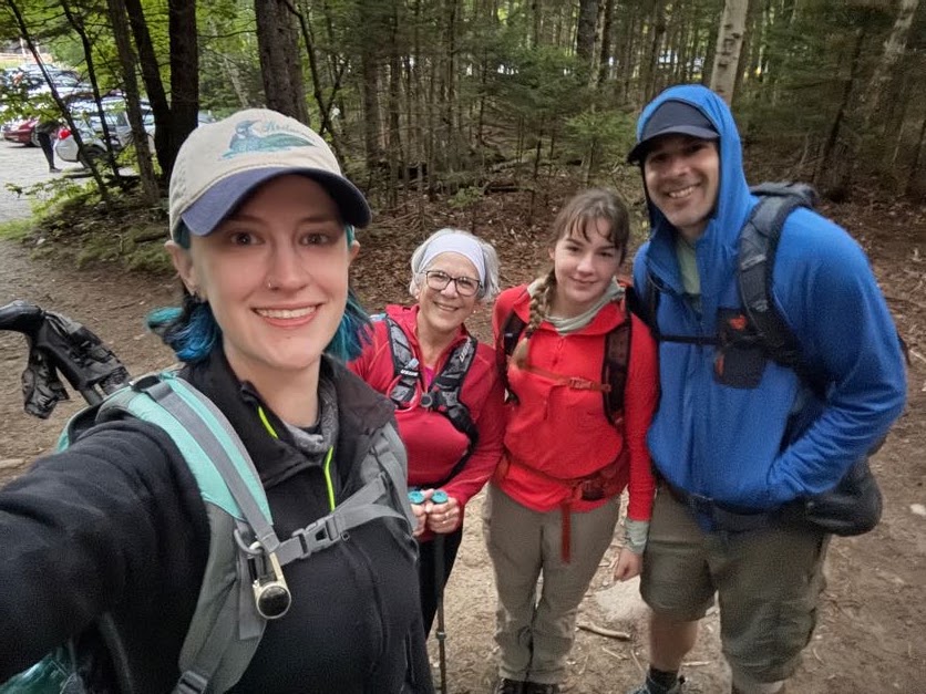
Well, the day has come. 10 years and 1 week since I climbed my very first high peaks (Cascade (36) and Porter (38) Mountains), my family and I woke up in Lake Placid at 4:45am and made our way to the ADK Loj trailhead. We rolled in at 5:40am, pulled on our boots, and made our way to the register.
In an absolute surprise, my mother-in-law (a 46r herself!) and my step-daughter flew in from out of town to give me the absolute best birthday gift I could have asked for – meeting me at the summit of Mt Marcy to celebrate my completion of the 46 high peaks. Looking back through all of my trip reports over the years, it’s funny how many are dated on or around my birthday. All I ever want to do on my birthday is go for a hike, so it’s fitting to bring an end to this epic chapter on this specific day.
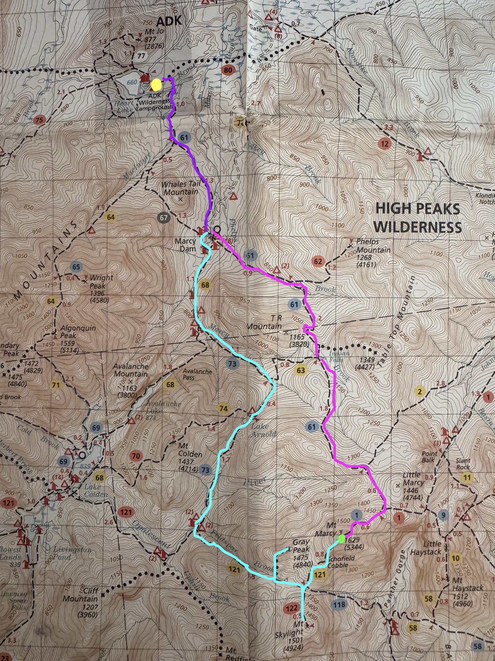
The plan was as follows: the four of us would start together for the first few miles (dark purple), then split up at Marcy Dam. Gildo and I would go around towards Lake Arnold to summit Gray, then Skylight, and then over to Marcy (aqua), while the other two would go straight up Marcy with a pitstop at Indian Falls (pink). Several close friends were also planning to meet me at the summit of Marcy following this path, so we were shooting to get to Marcy by around 2pm and hoping everyone would make it up at around then.
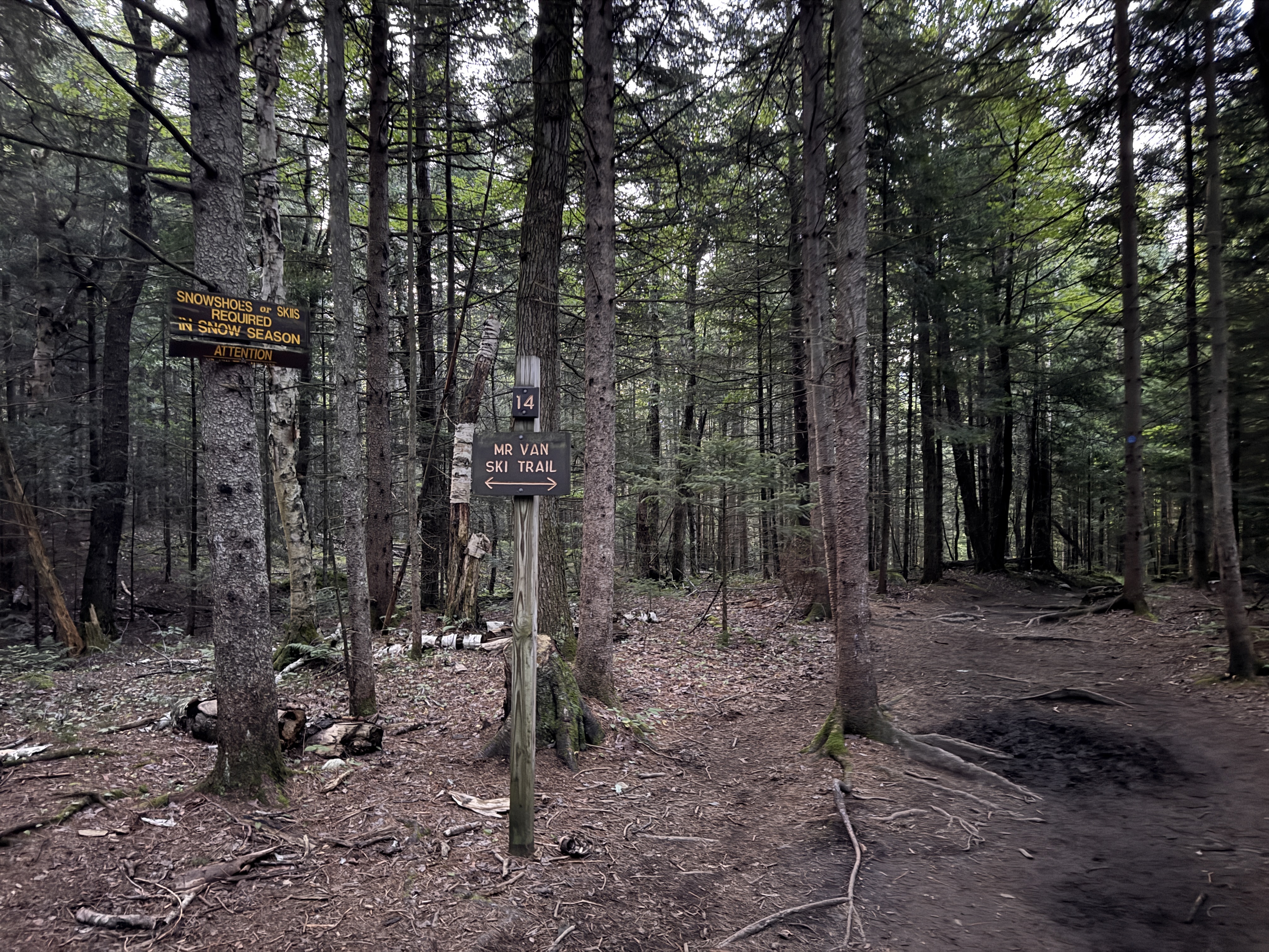
At exactly 6:00am we set off from the register, quickly reaching the very first junction with the ski trail.
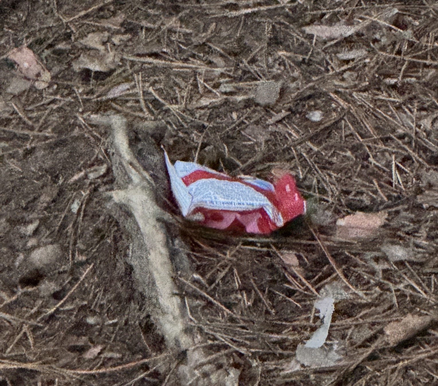
The Golden Ardilla must have been excited for us to be there this morning; she dropped her first treat for us on the trail at 6:08am.
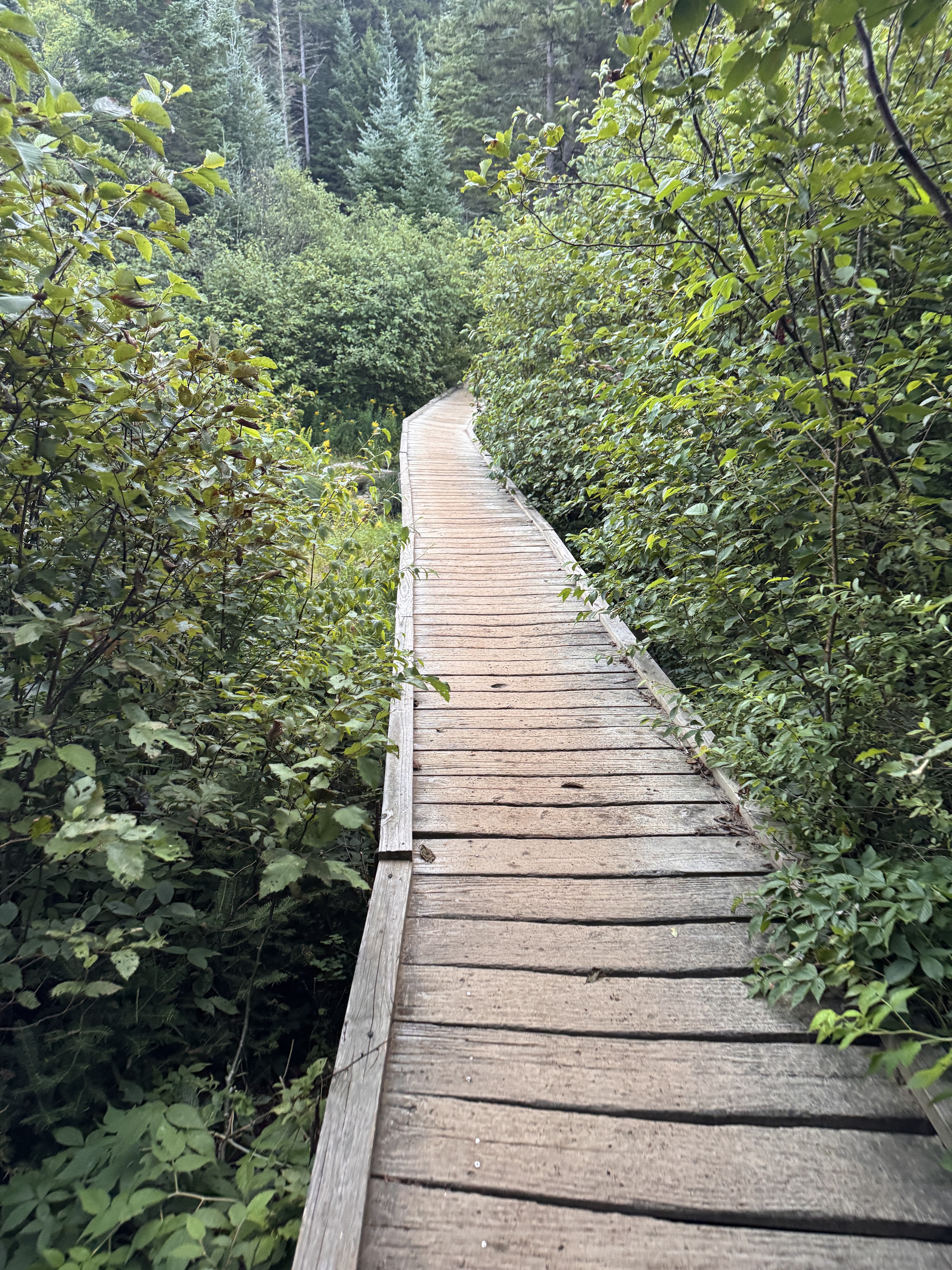
At 6:30 we reached the junction to Algonquin and stayed to the left.
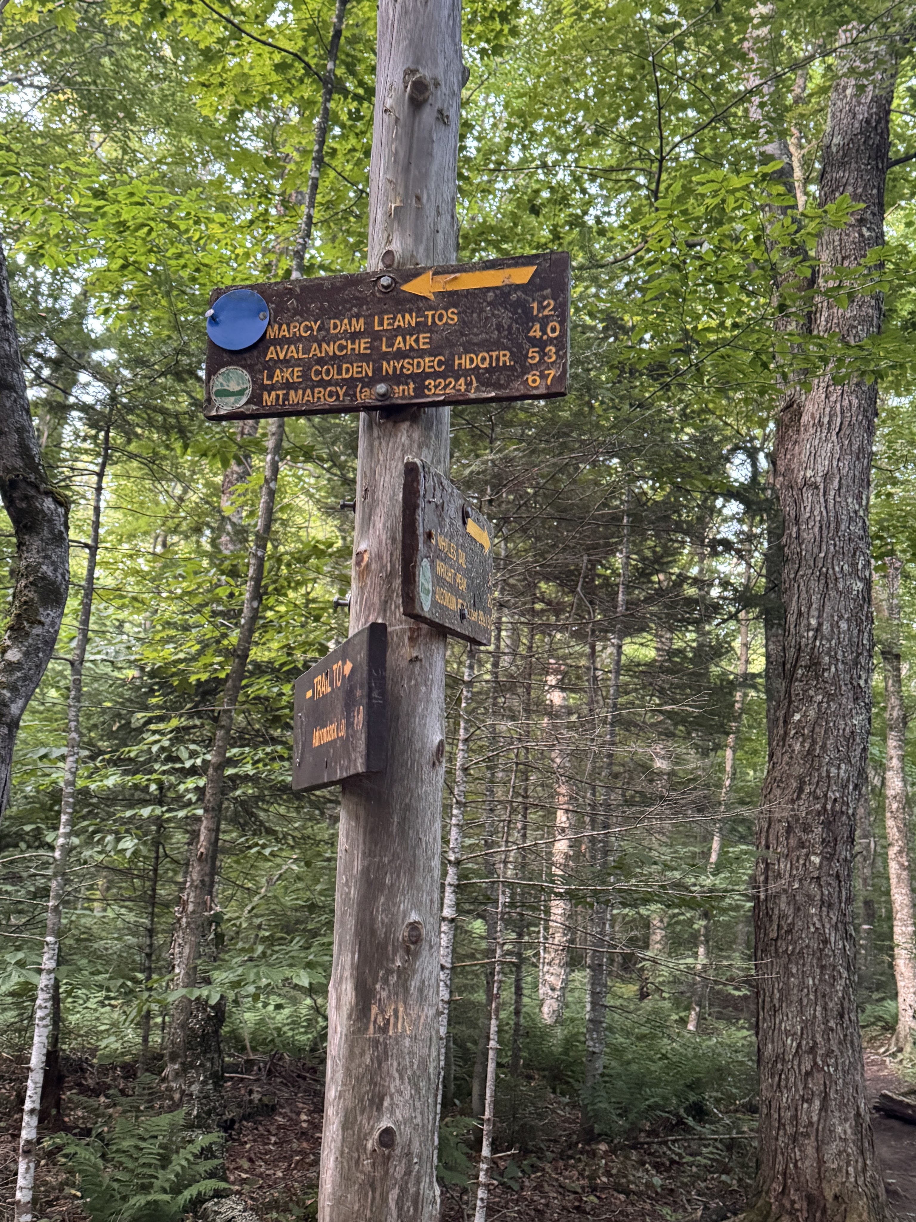
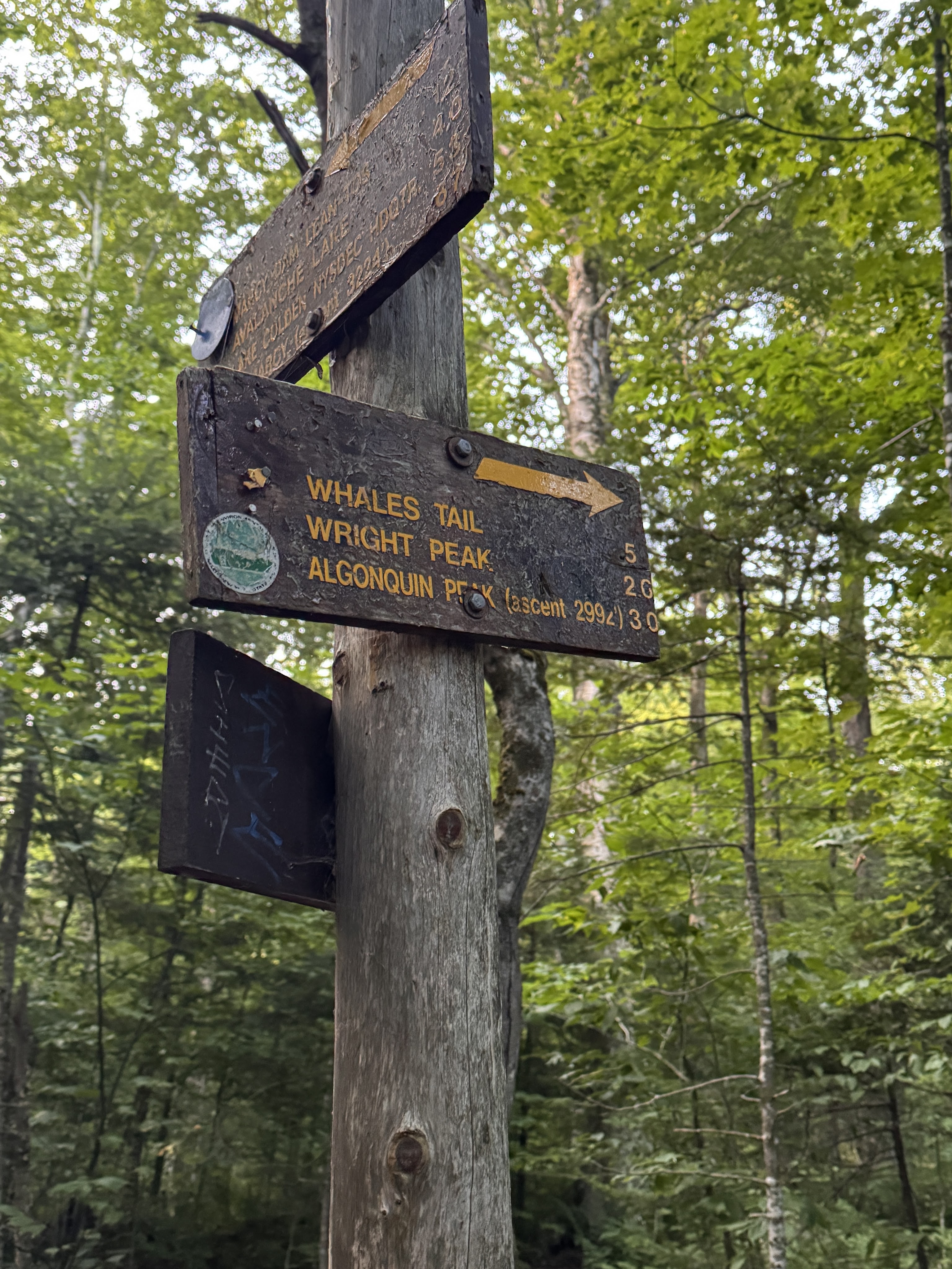
I love walking in the forest at this time of the morning. The birds were just waking up, soft light filtered through the trees. We were tired but happy to be there, chatting and spotting mushrooms as we trod.
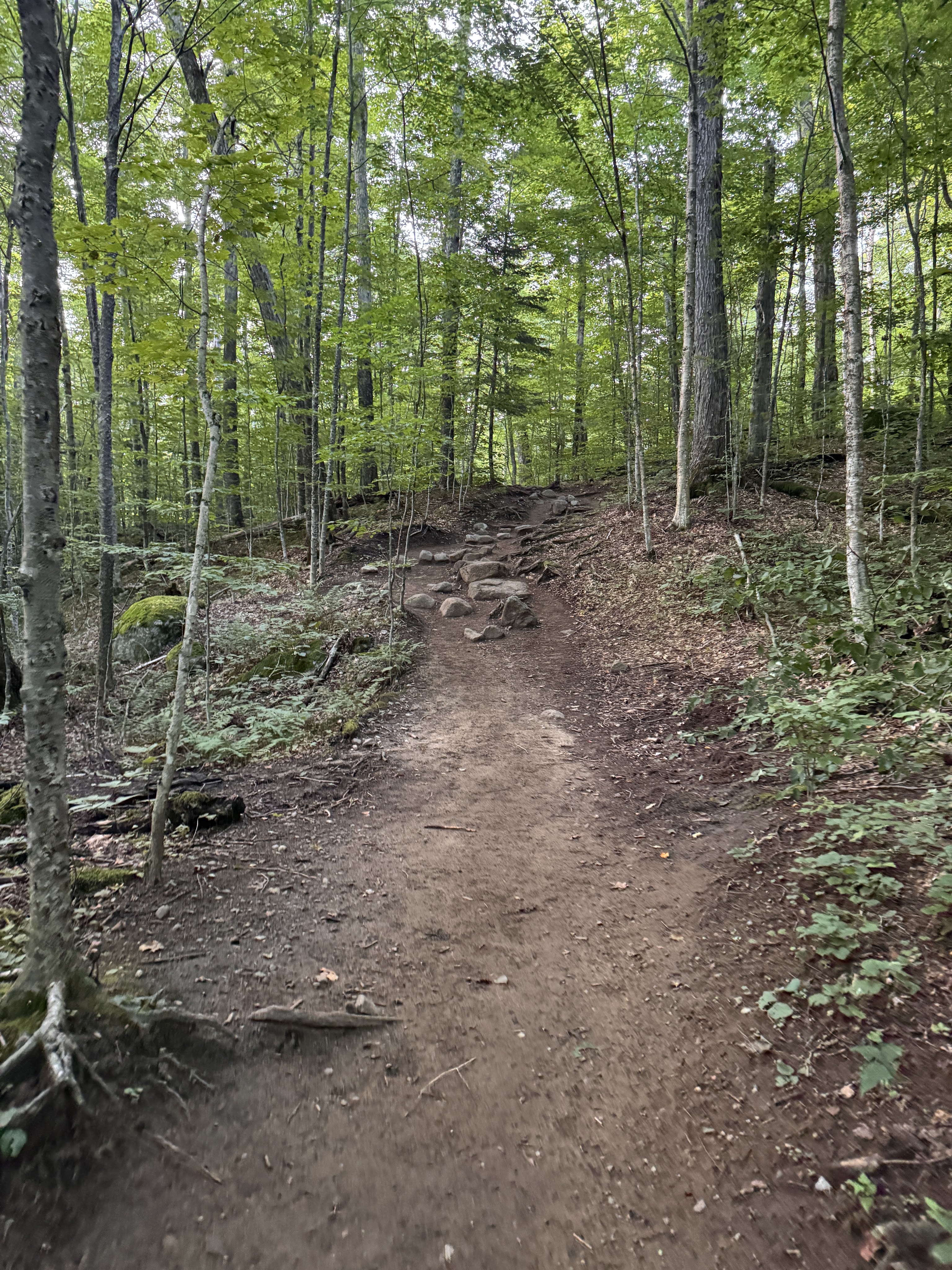
It took just an hour to reach Marcy Dam, 2.3 miles from the trailhead.
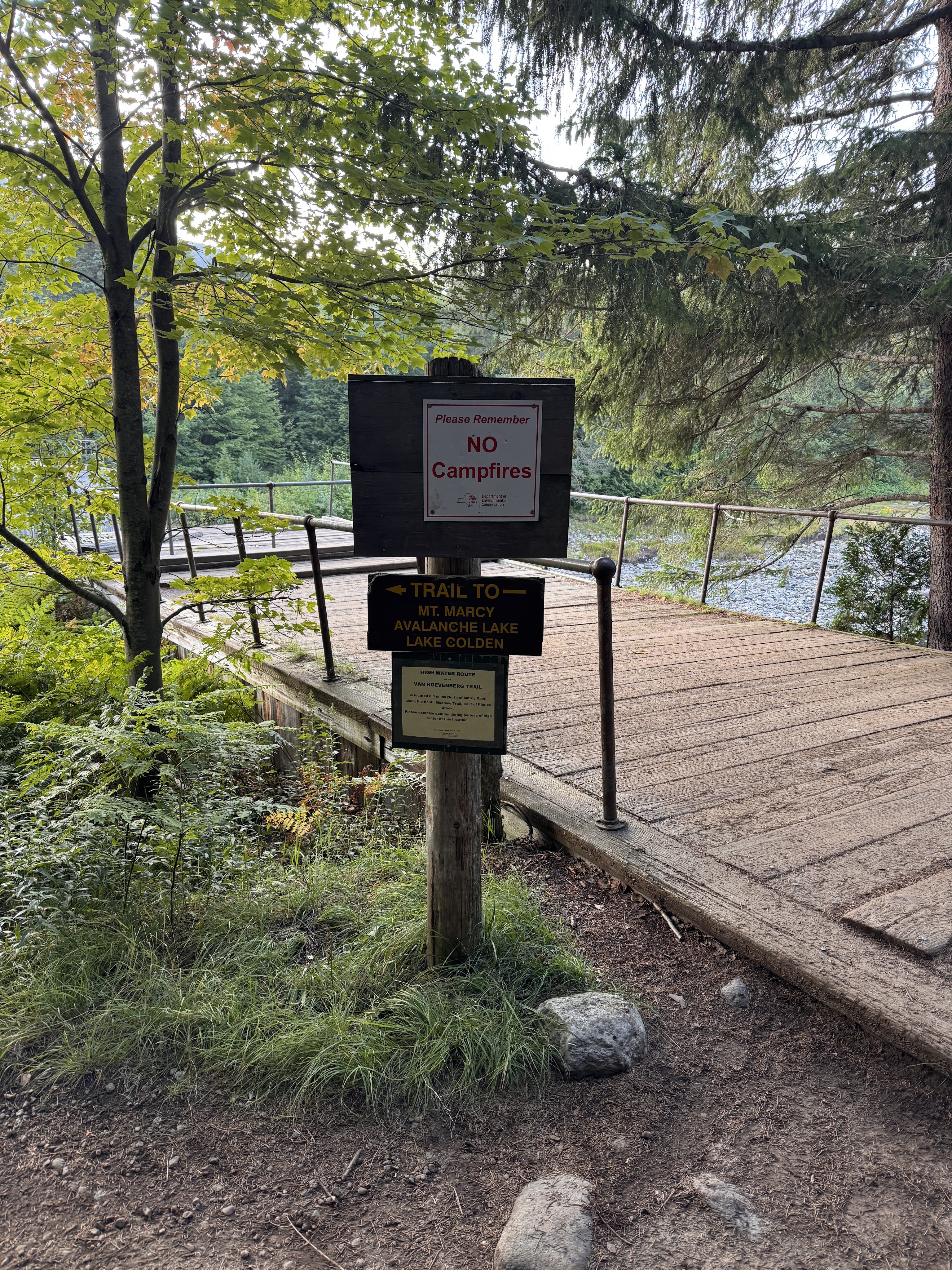
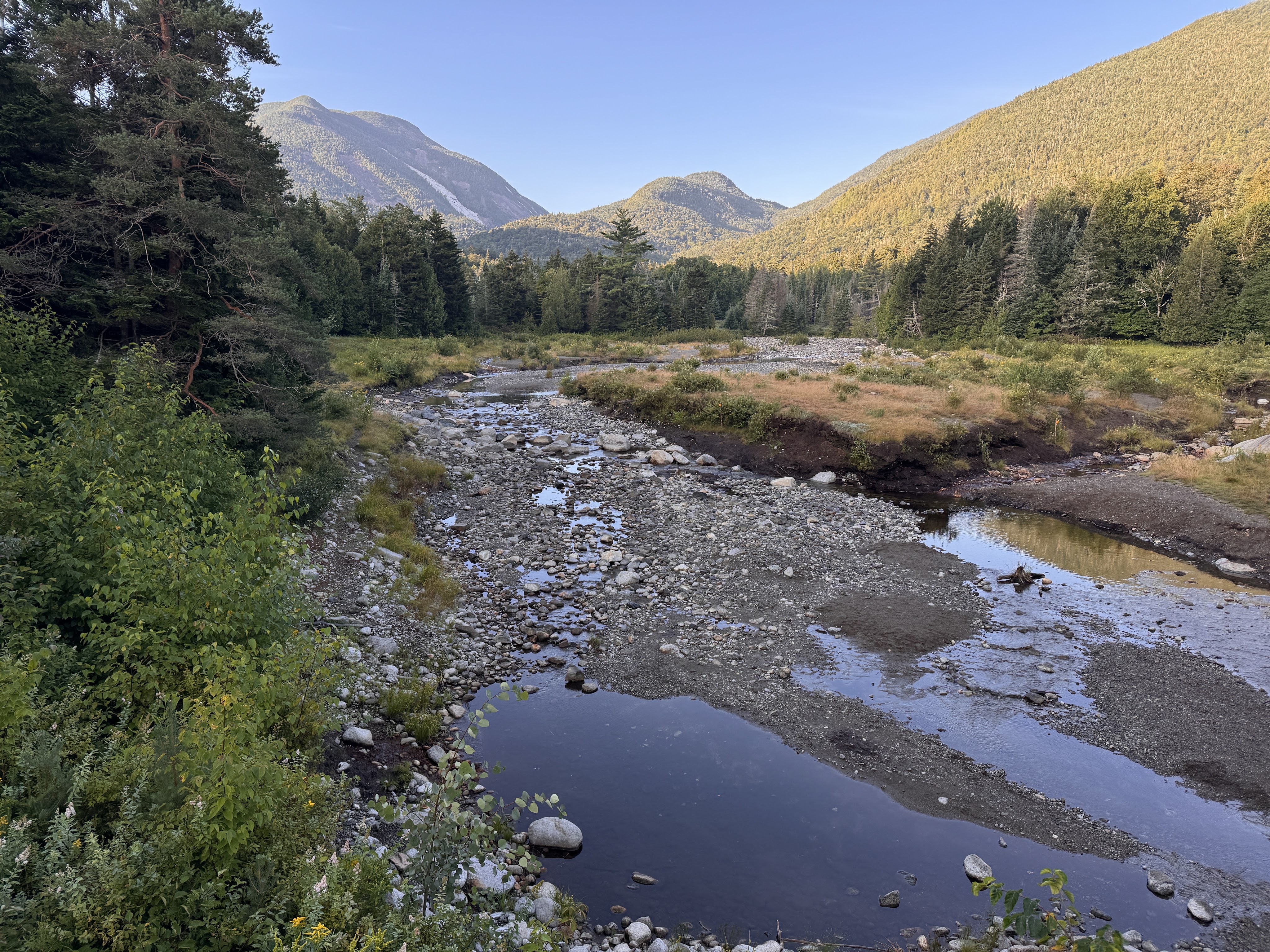
These days, hikers find a mostly-dismantled bridge that is all that remains of the iconic Marcy Dam. The dam was built in the 1930s, impounding Marcy Dam Pond and creating a popular gathering spot for hikers and skiers as the focal point of multiple campsites and lean-tos. During hurricane Irene in 2011, the dam was damaged due to flooding and the pond partially drained. In 2014, NYSDEC announced they would remove the dam due to both expensive reconstruction costs as well as to minimize the impact of human-made structures on the streams and rivers. (source: Marcy Dam – Wikipedia) So now it looks like this.
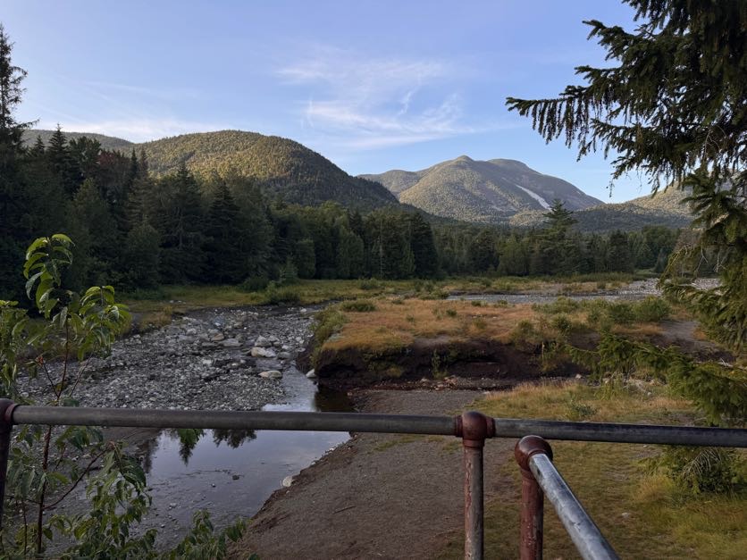
The dam was built during the logging days to divert the Opalescent into Calamity Brook to power the blast furnaces for iron at the Upper Works. The trail is now rerouted downstream with a nice high water bridge. Though I’m sure the lake was beautiful when the dam was in place, I’m glad to see the wilderness return to its natural state, with the rivers flowing in the way they’re meant to. (Source: Lake Tear of the Clouds – Source of the Hudson River | Lake Placid)
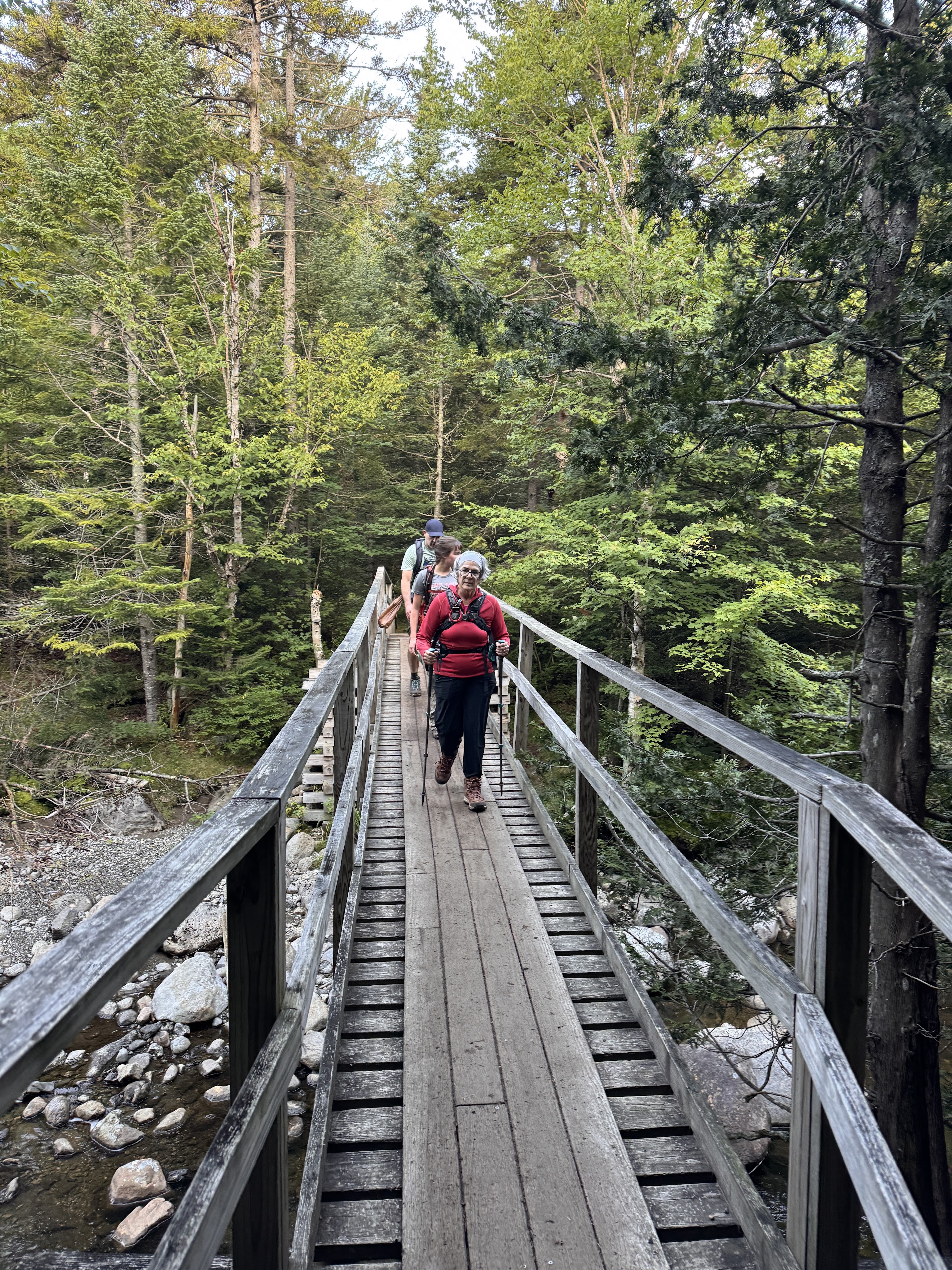
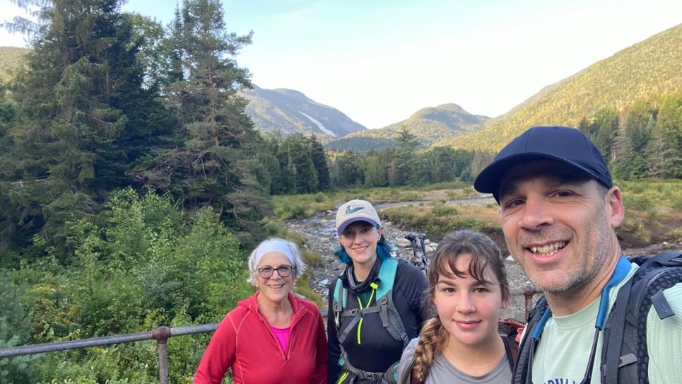
This is where we split up. Gildo and I had 4 more miles to go than the other two in our group, so they decided to stop at the dam to rest and have some breakfast. We said our goodbyes, and on we went.
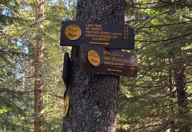
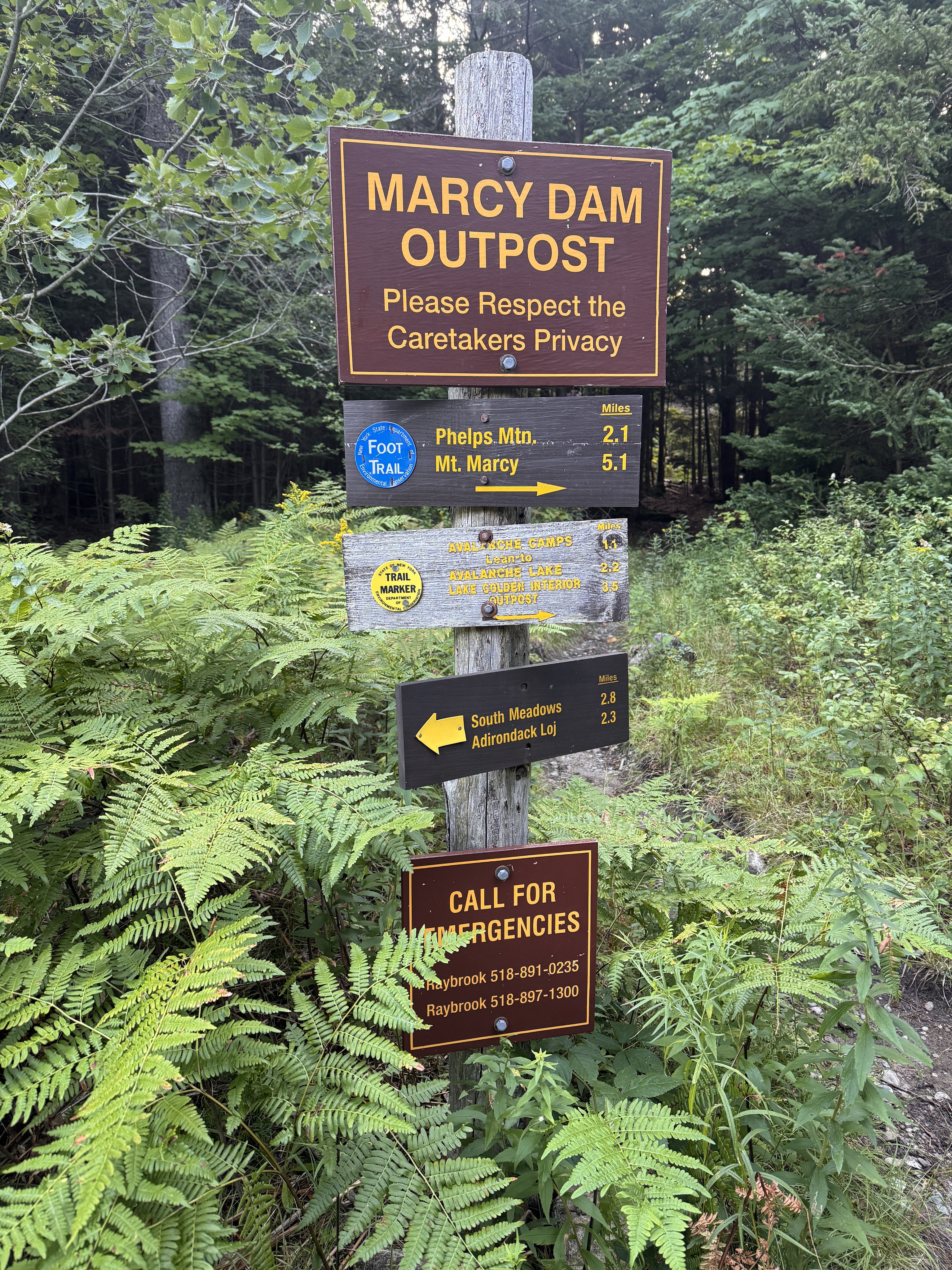
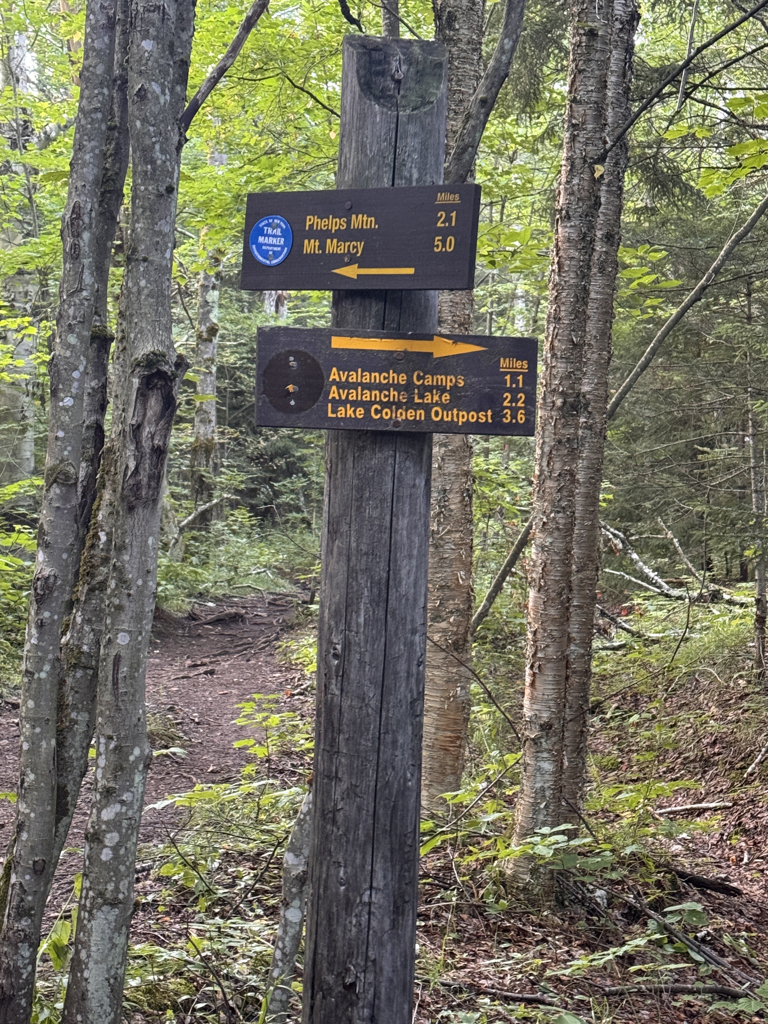
The markers were a little bit confusing here. This sign post shows the blue markers going towards Phelps Mountain, the route everyone else would be taking, and the trail towards Avalanche Lake (our route) would be marked in yellow.

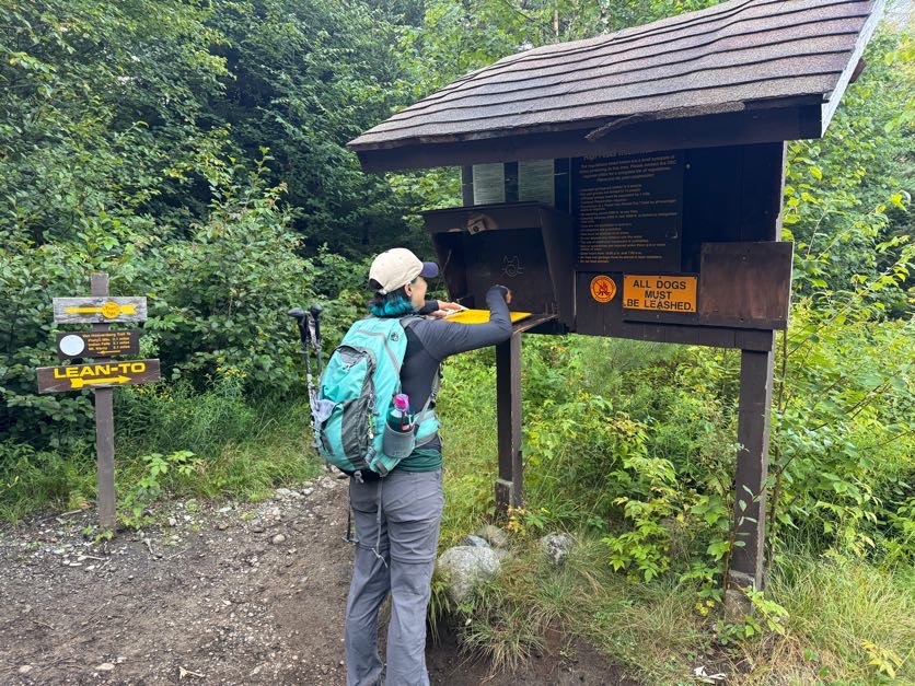
At 7:13am we signed in at this comically tall register. I was looking forward to signing out again later in the day, seeing my friends names who would be signing in after me.
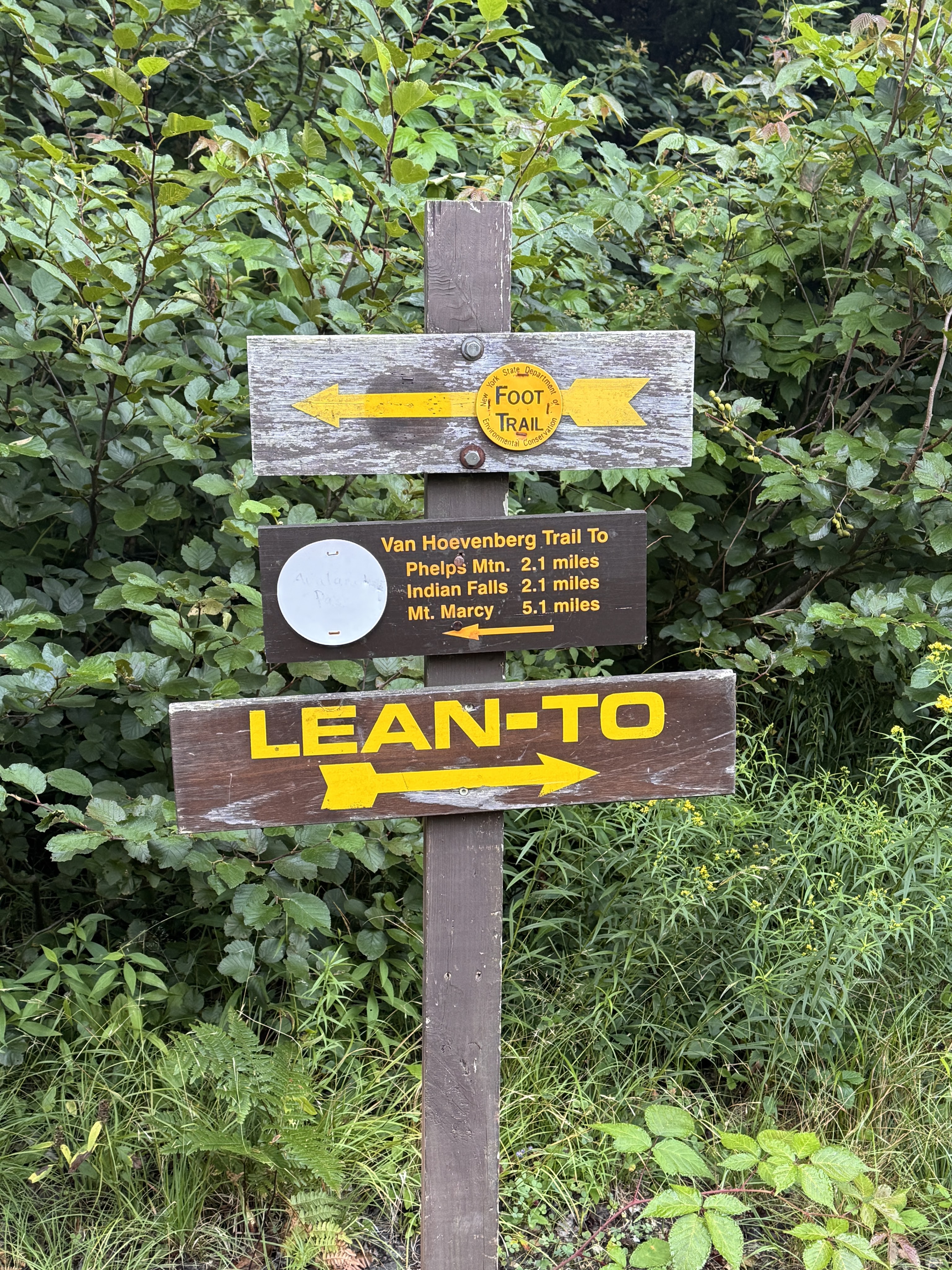
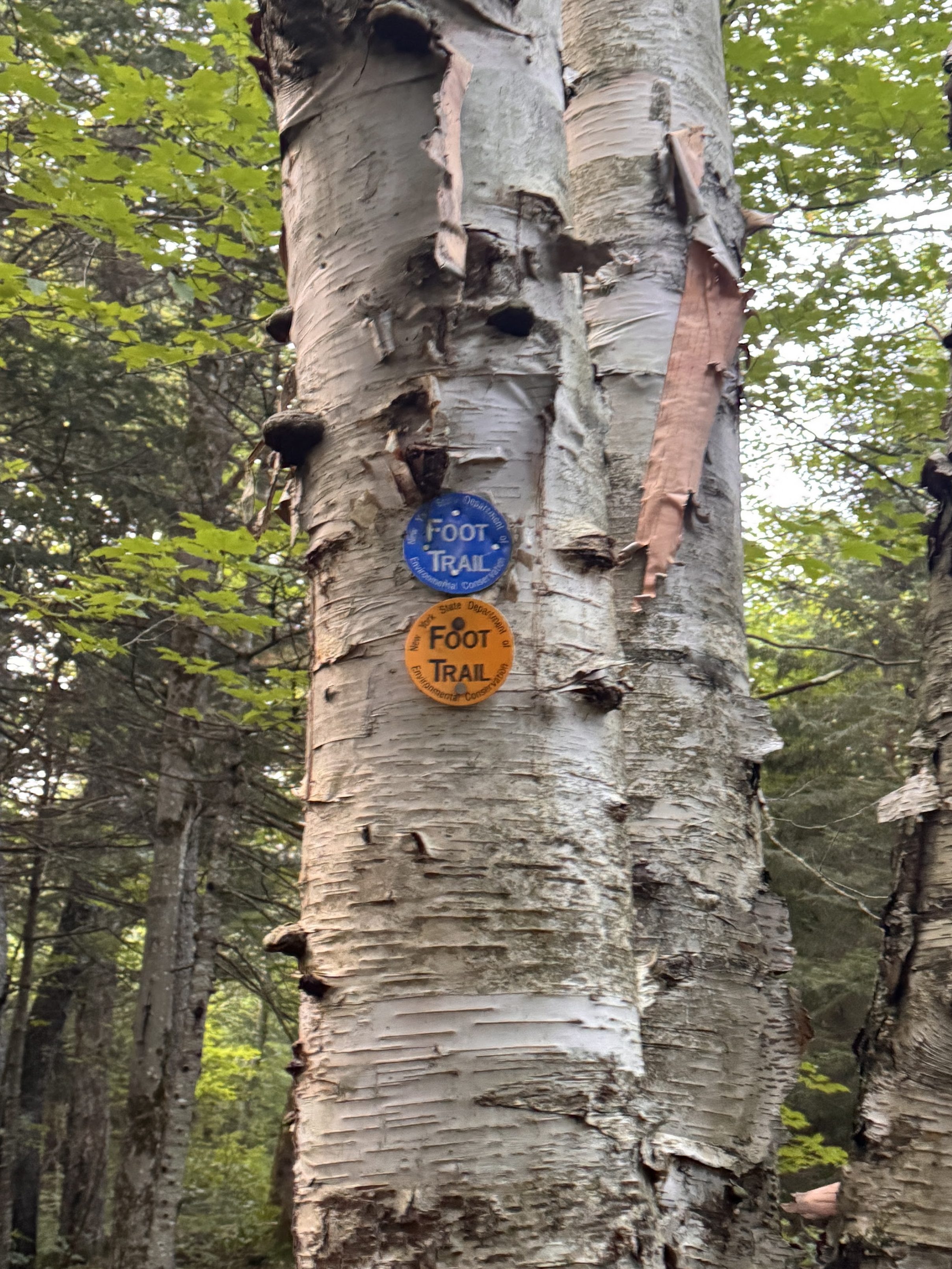
The trail around Marcy Dam is a small loop with loads of interconnecting trails. We were careful to read each sign to ensure we were going the right way at each junction, especially when we saw multiple trail markers on a single tree.
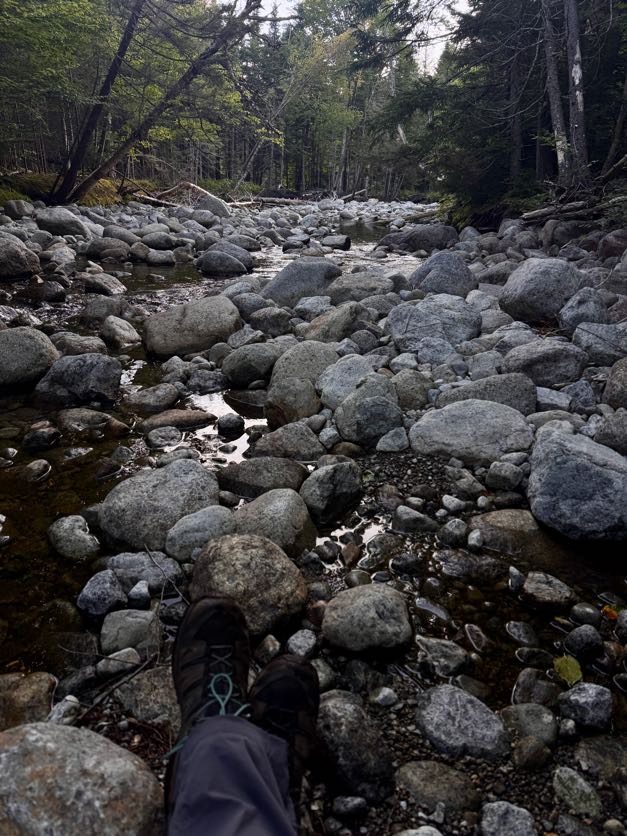
It was so peaceful here. Most campers were either still sleeping or just getting started moving around their campsites, and the only other people we’d seen so far were just as happy to be there as we were.
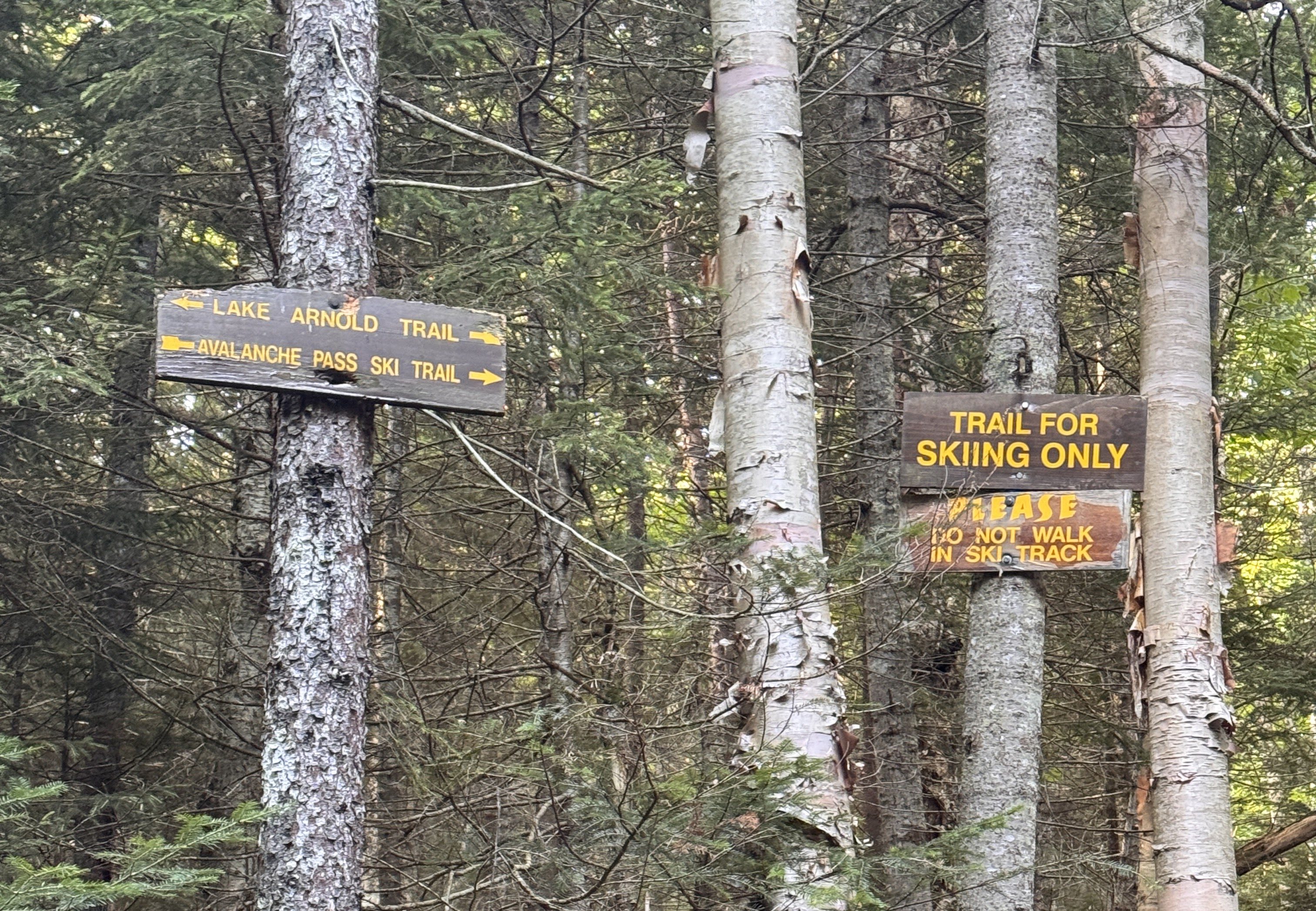
At 7:52 we’d traversed the 1.1 miles from Marcy Dam to the next junction. This time we stayed on the blue trail toward Lake Arnold.
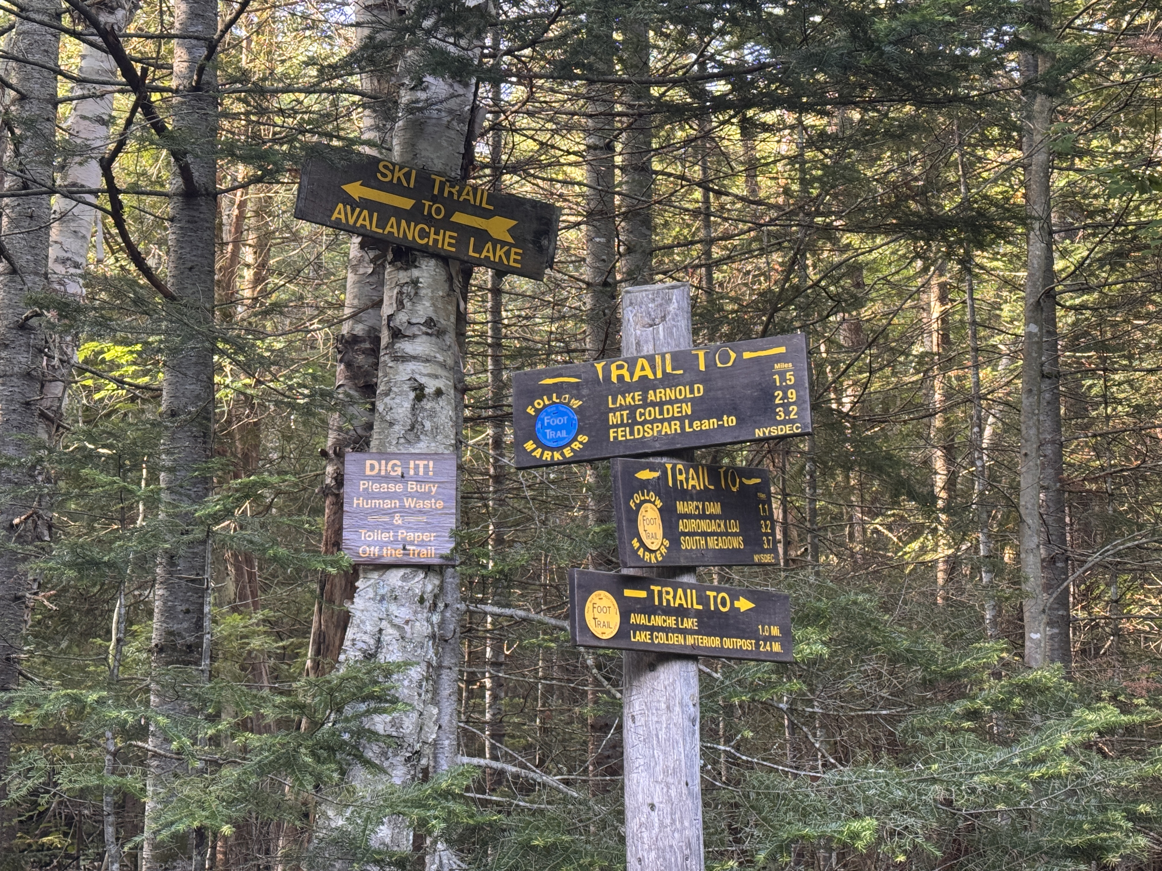
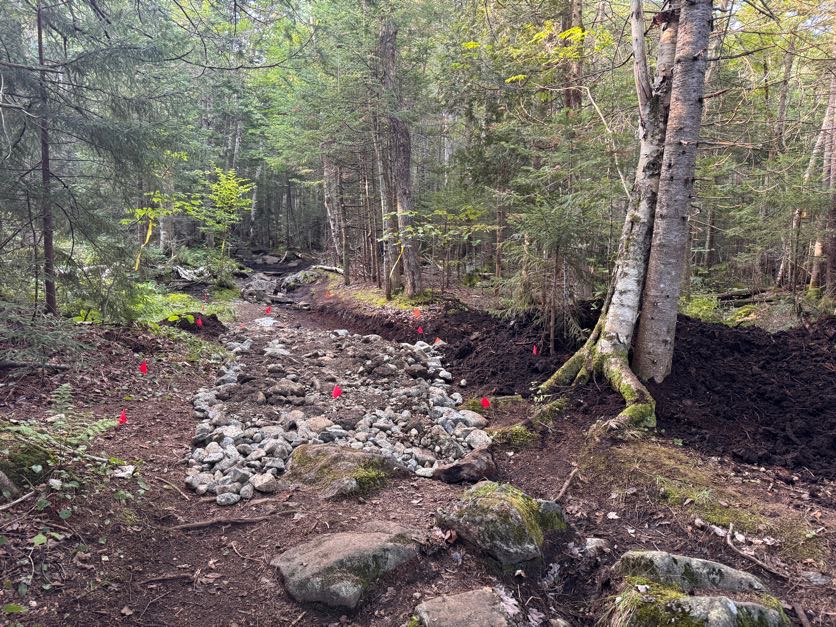
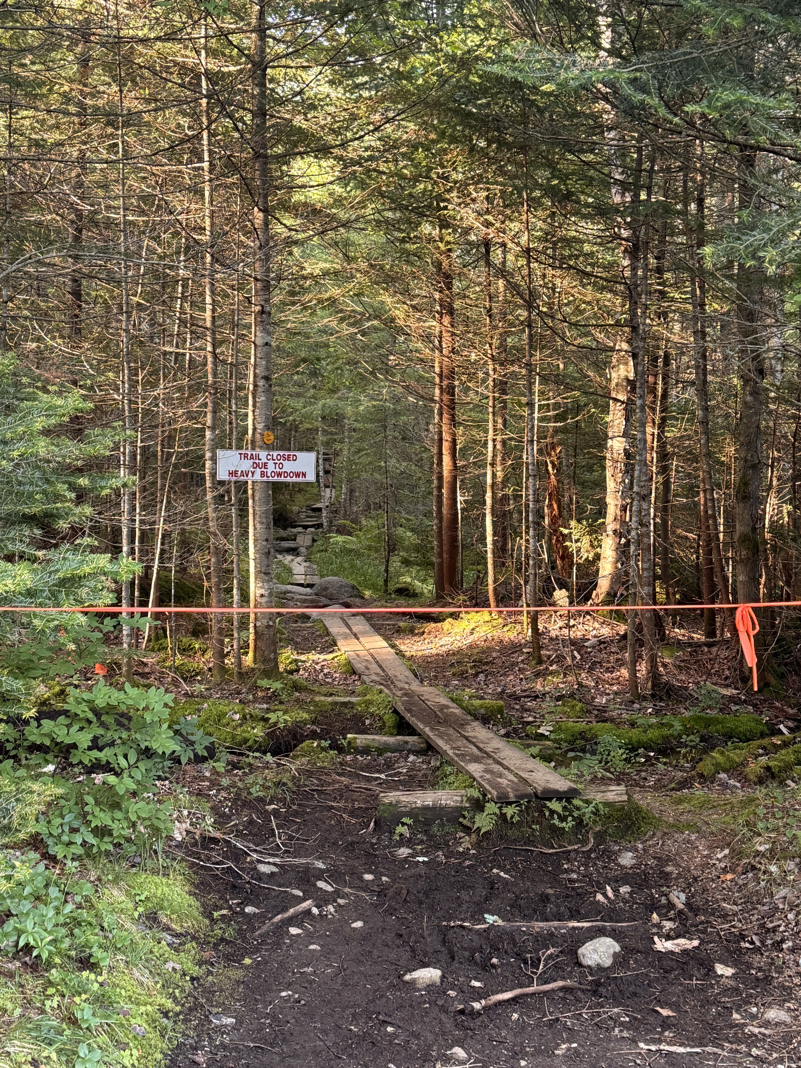
The trail to avalanche lake was actually still closed due to the landslide that happened during a severe thunderstorm in July 2025. We passed by some reconstructive efforts on the trail and noted the closed trail.
Until now the trail had been relatively flat, just little ups and downs but nothing major. For the next 1.1 miles we would climb pretty steadily up towards lake Arnold.
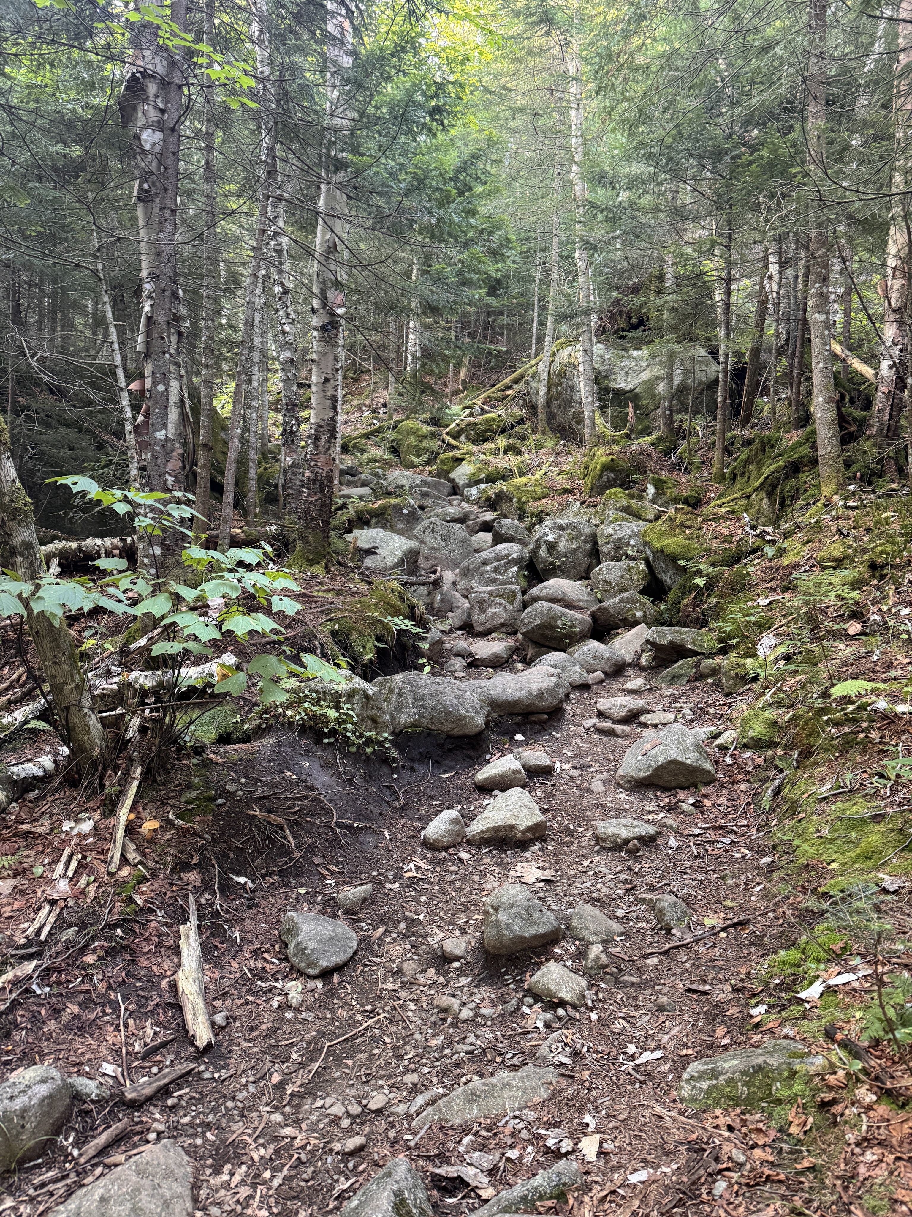
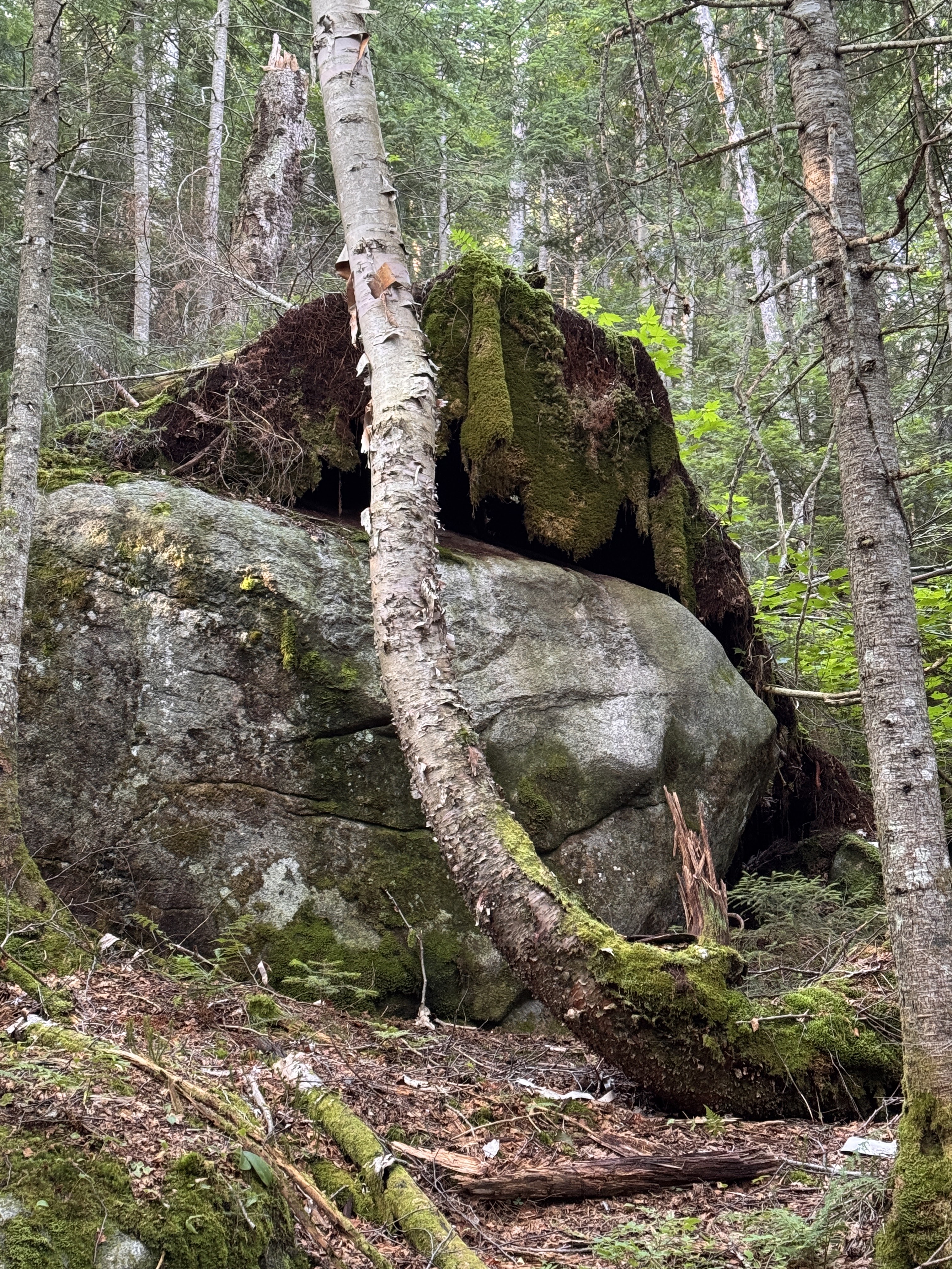
Look at this – the tree that was rooted around this boulder had fallen, removing the moss and lichen from the rock like a blanket. Looks like a great place to take a nap! (You know I’m sleepy on a trail when I start looking for places to nap).
Someone asked me recently what do I think about when I’m on these long hikes. As if I might struggle to find things to occupy myself. But it’s never occurred to me to be bored while hiking – there’s so much to take in and my mind does love to wander. It’s therapeutic and meditative to just exist out in the wilderness with no distractions.
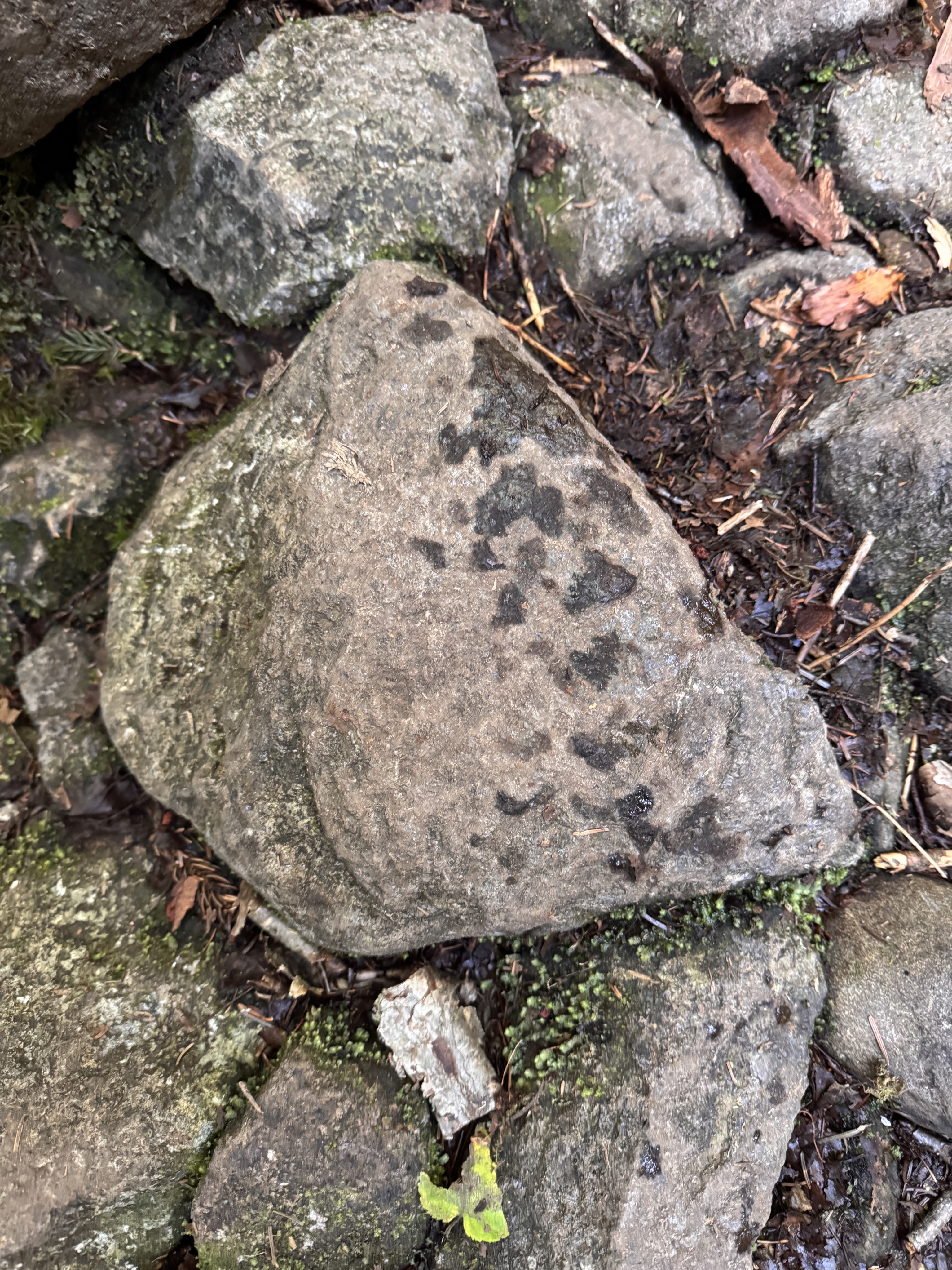
We noticed we must have been catching up to hikers ahead of us when we saw fresh prints on the rocks – I wondered if they were from Bel Air.
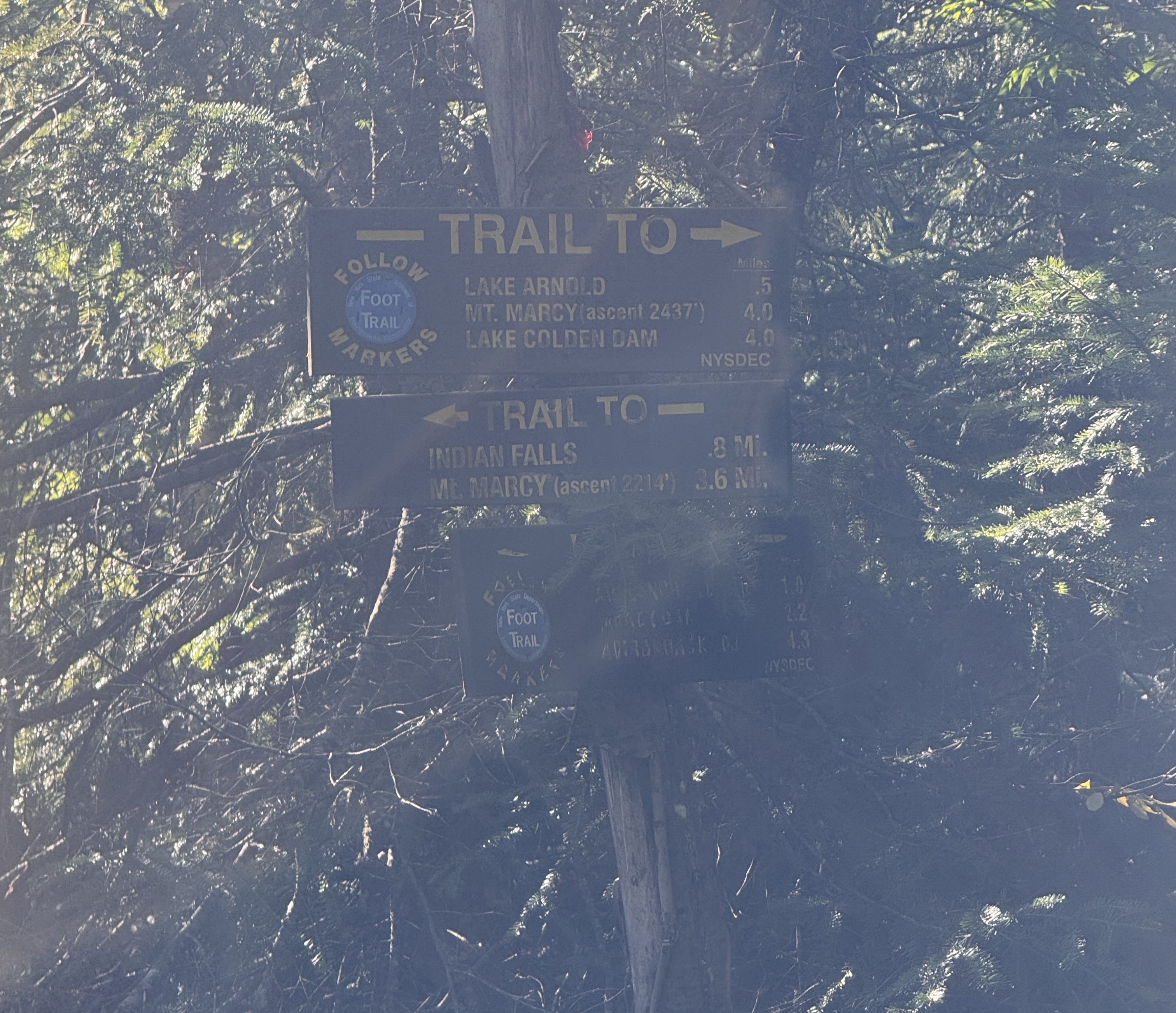
At 8:40am we reached the next junction – according to this sign, 0.5 miles to get to Lake Arnold, 4.0 to get to Marcy. However, the map shows 0.4 to Lake Arnold and 4.4 to Marcy.
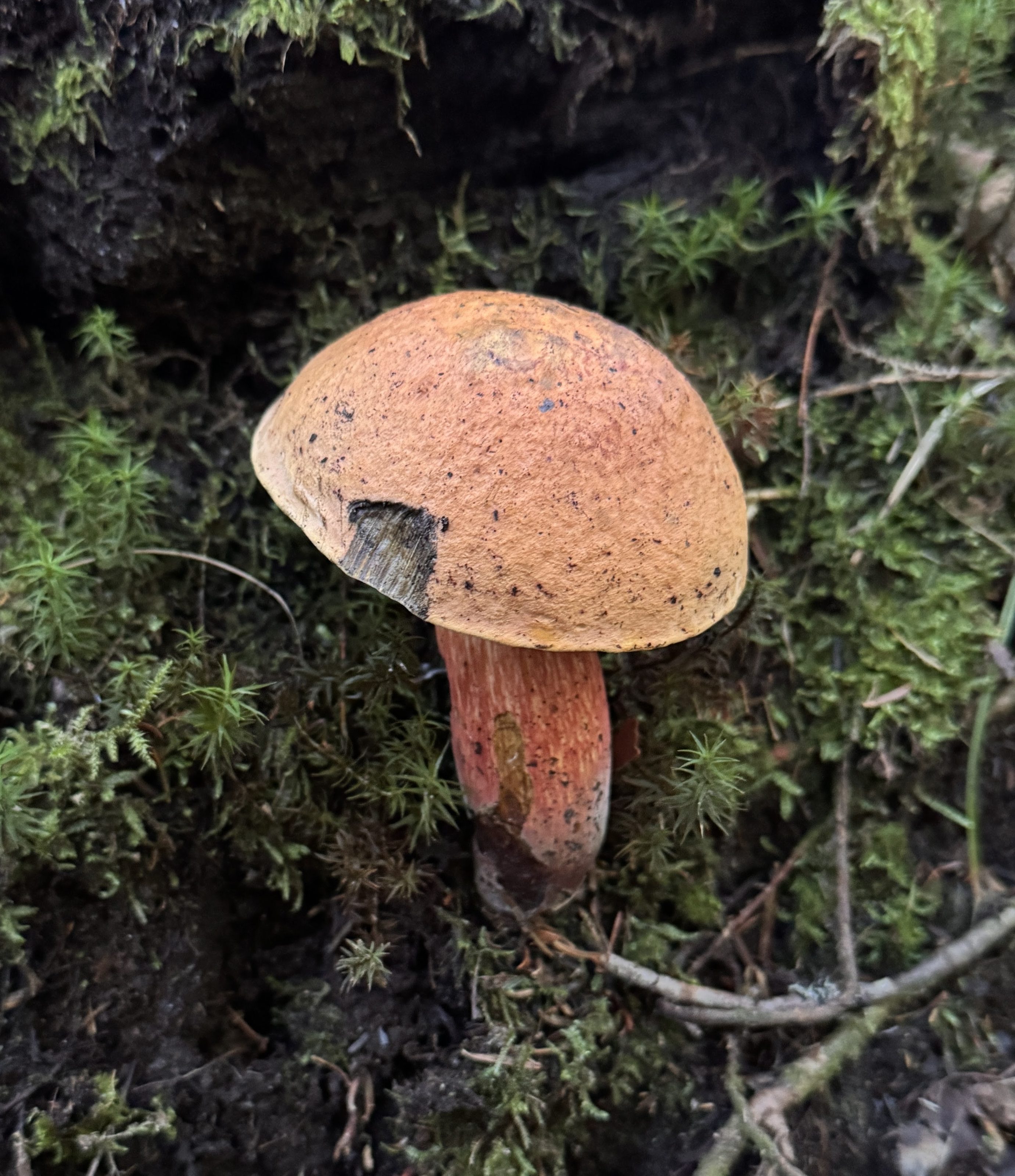
There were SO MANY MUSHROOMS of all varieties popping up through the forest floor from all the recent rain. I love spotting them and, when they look amiable, giving them a nice pat on the cap.
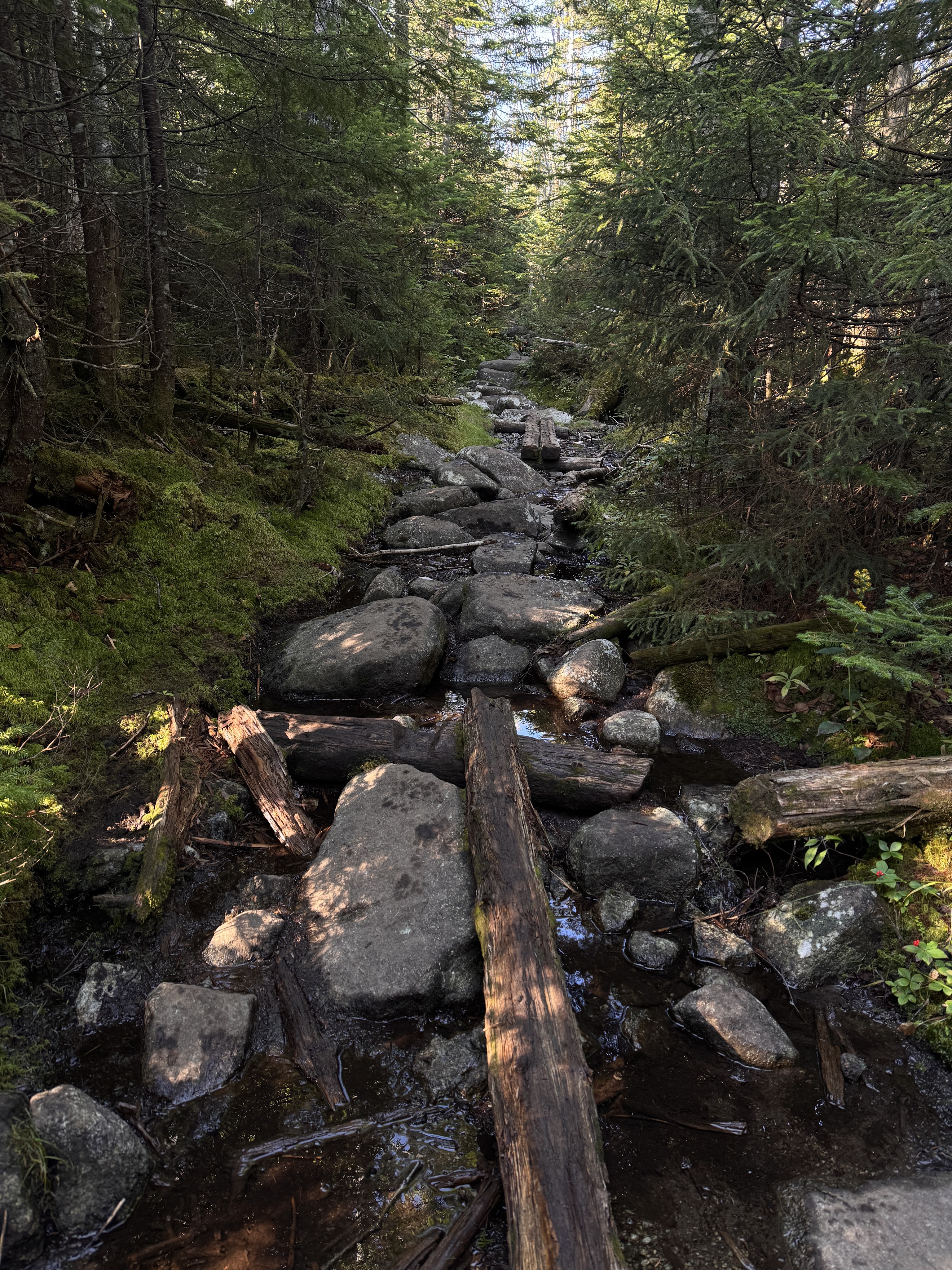
This is a pretty typical Adirondack trail at this point. The climbing continued, though not overly steep over mud and rocks and rotting puncheon.
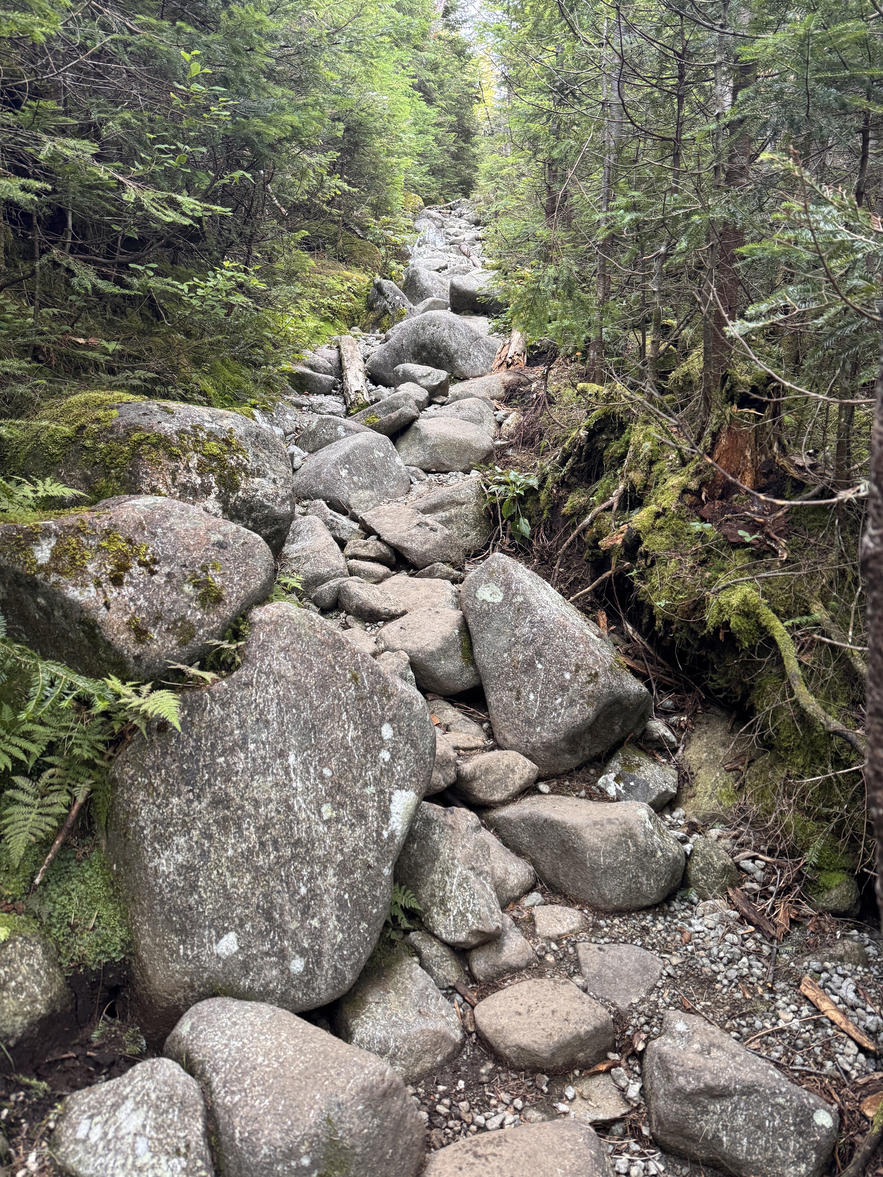
I frequently wondered (sometimes out loud) WHO PUT ALL THE ROCKS HERE!
After just 20 minutes, we reached the next junction. I had a moment of indignation when I read that somehow we were still no closer to Marcy than we were 0.4 miles ago – this sign also says Marcy is 4.0 miles away. Crosschecking with the map now, this sign is correct.
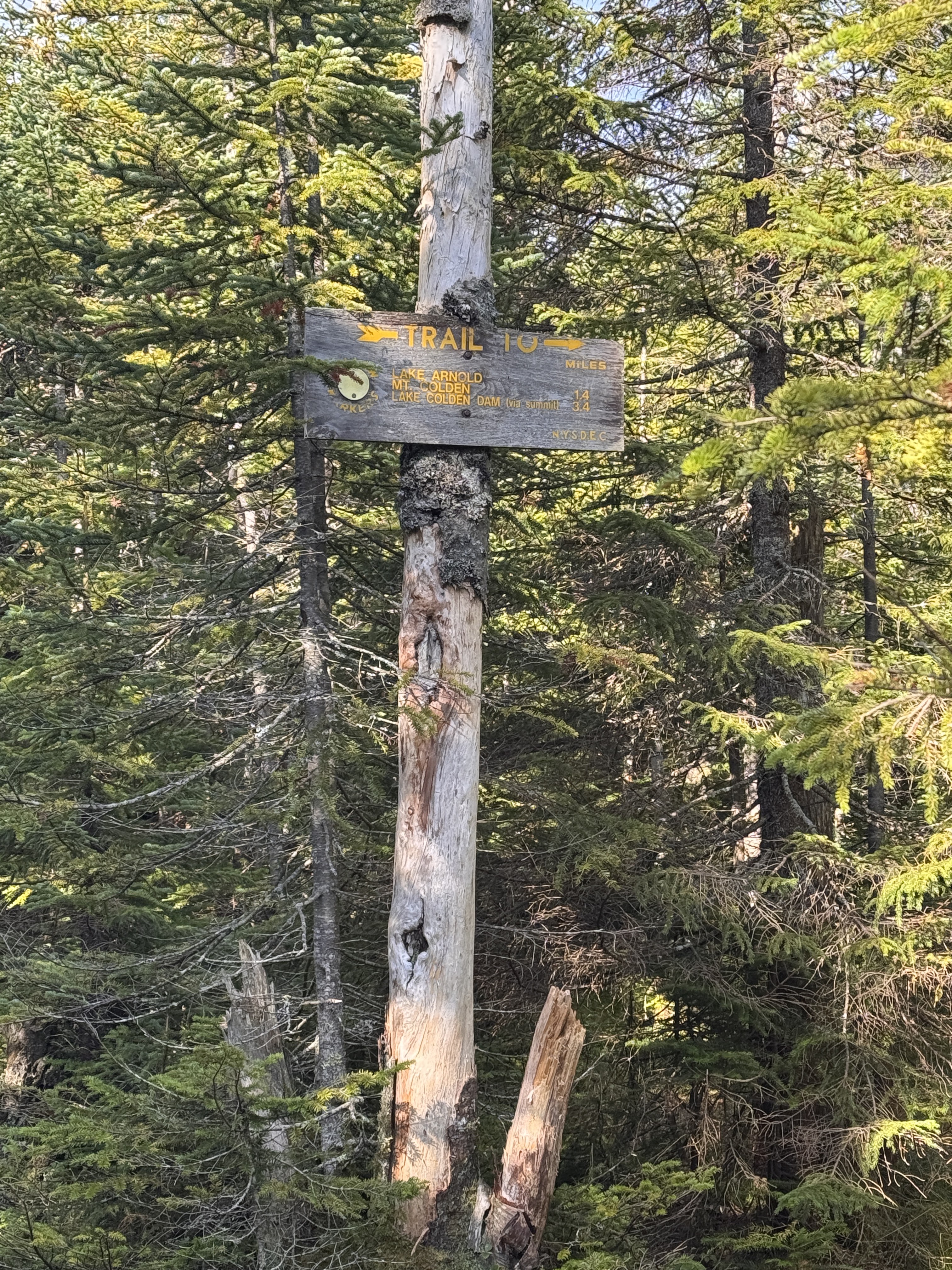
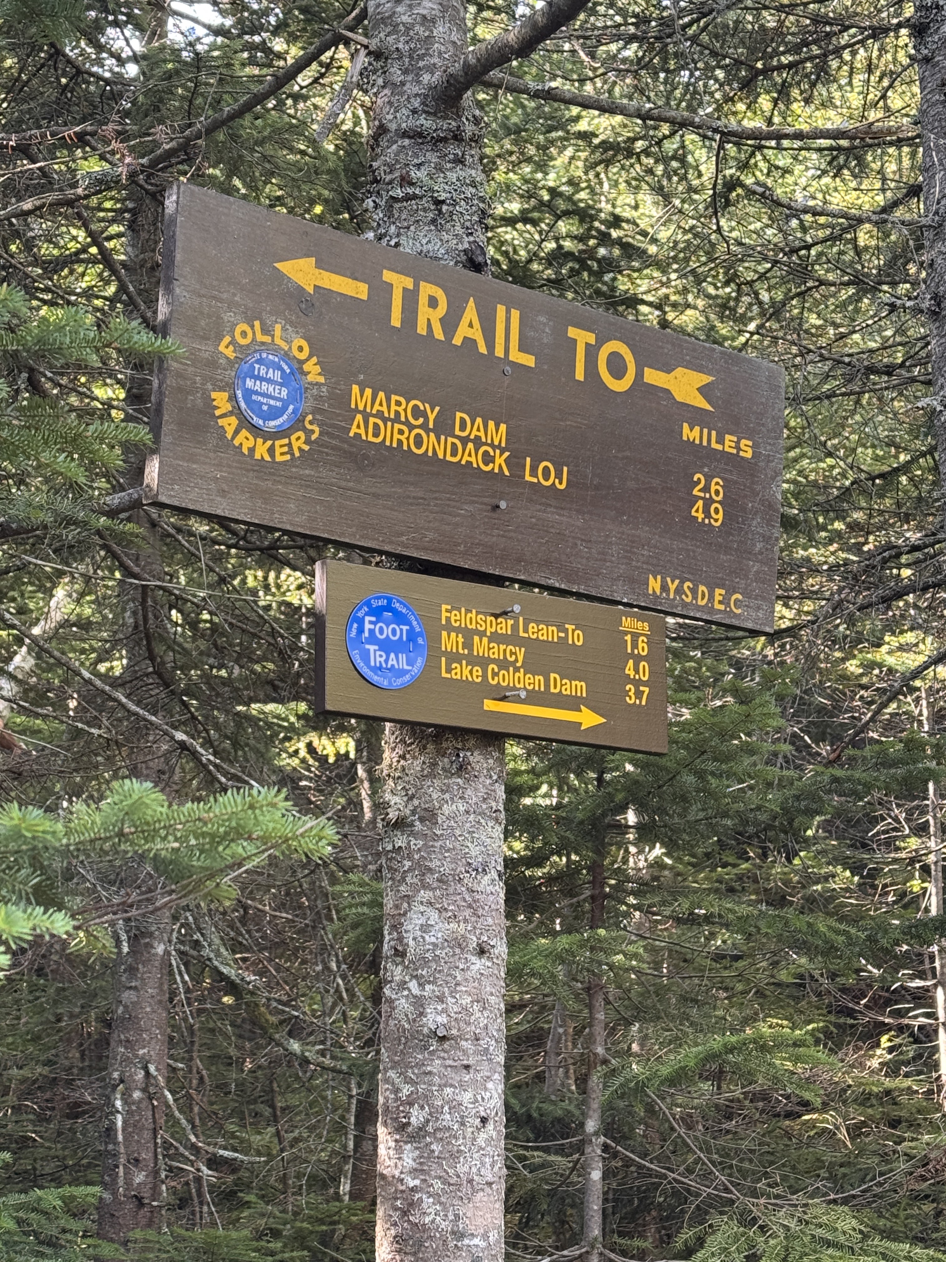
Next up – 1.7 miles of gentle downhill to Feldspar brook. It’s always so demoralizing to lose elevation when I work so hard to gain it, but it is what it is. We would lose roughly 500 feet to get down to the next junction.
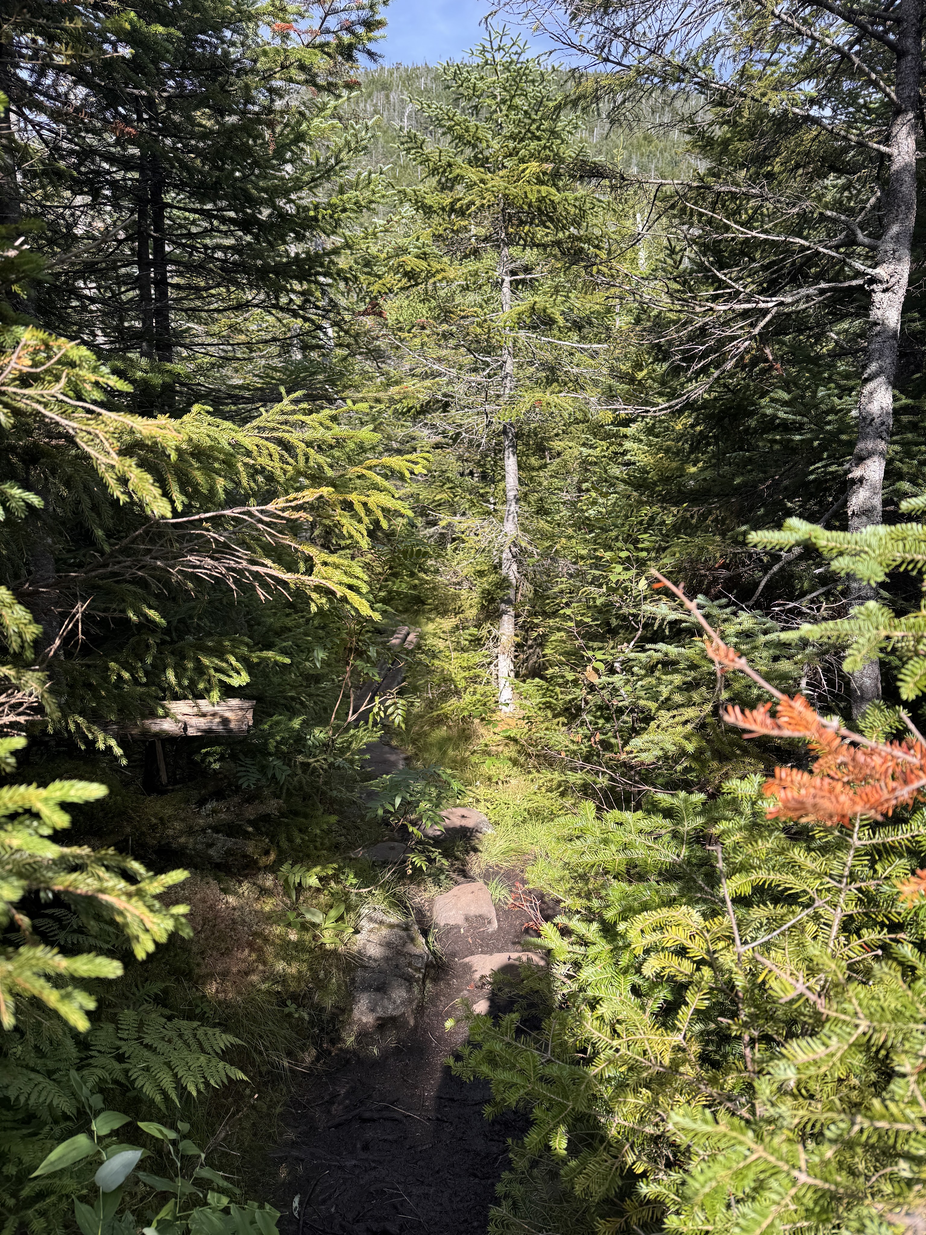
Oh but the moss! THE MOSS!
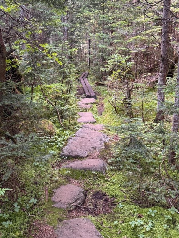
The trail was surrounded by beautiful mosses and mushrooms and loads of pretty little wildflowers. I’ve taken a liking to squishing my hand into the moss and rating it. With the moss on Allen Mountain (26) as a reference for what a 10/10 feels like, this one was a solid 6.
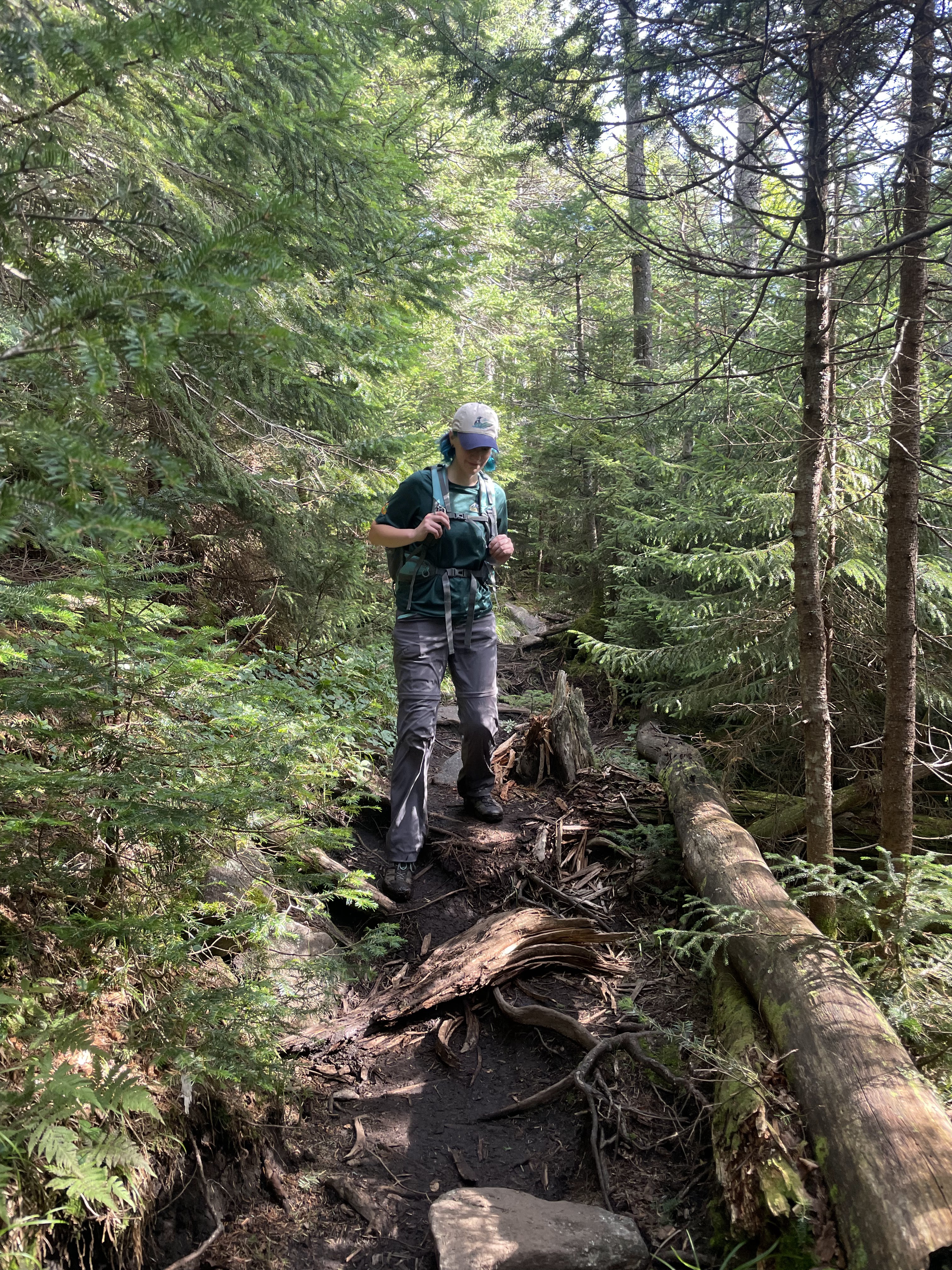

This one wasn’t so squishable but it gets bonus points for coloration – 5/10.
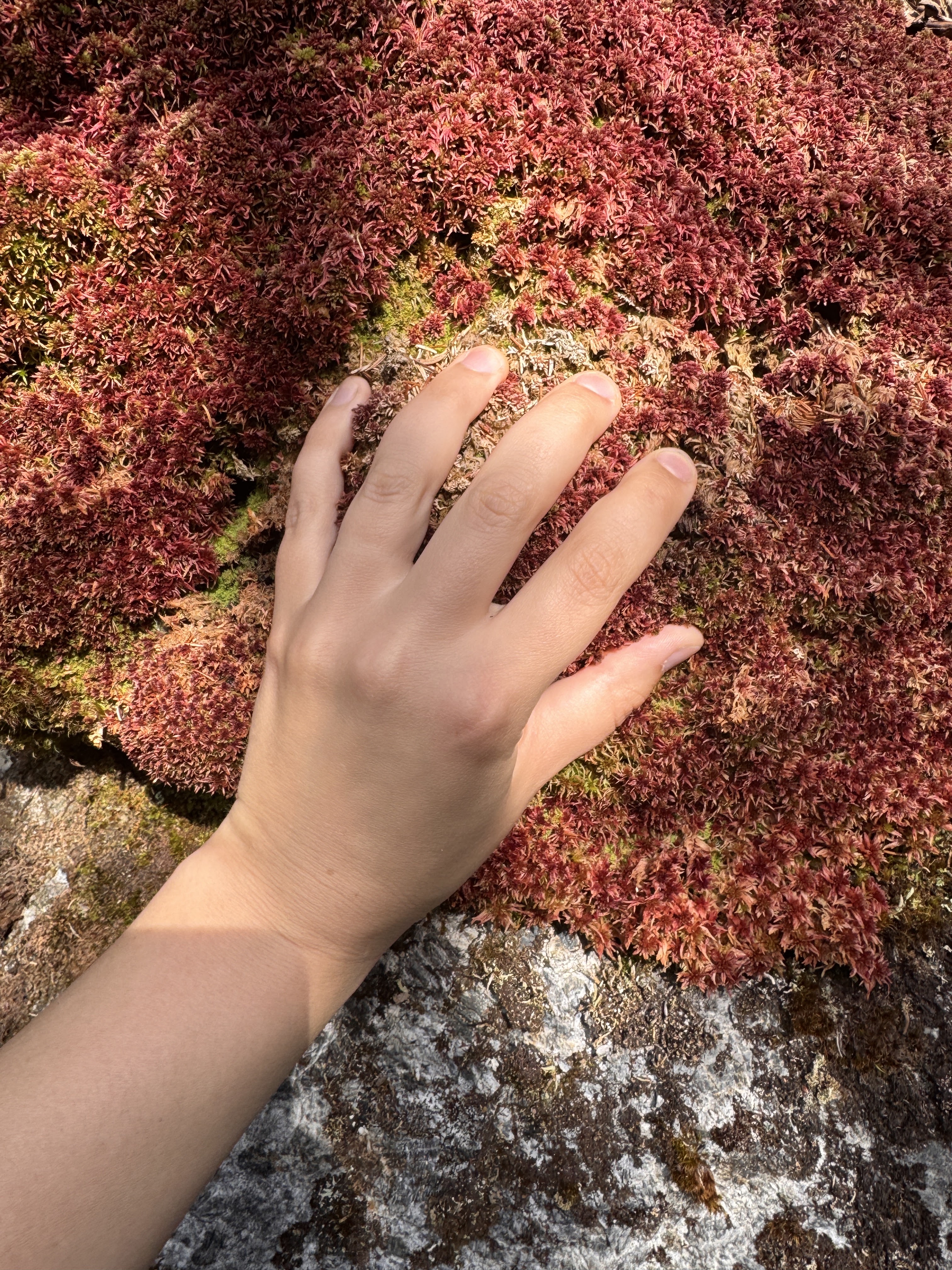
Despite being early in the day, I got princess treatment a few times anyway when Gildo turned to lift me down big drops to help preserve my knees. What a guy.
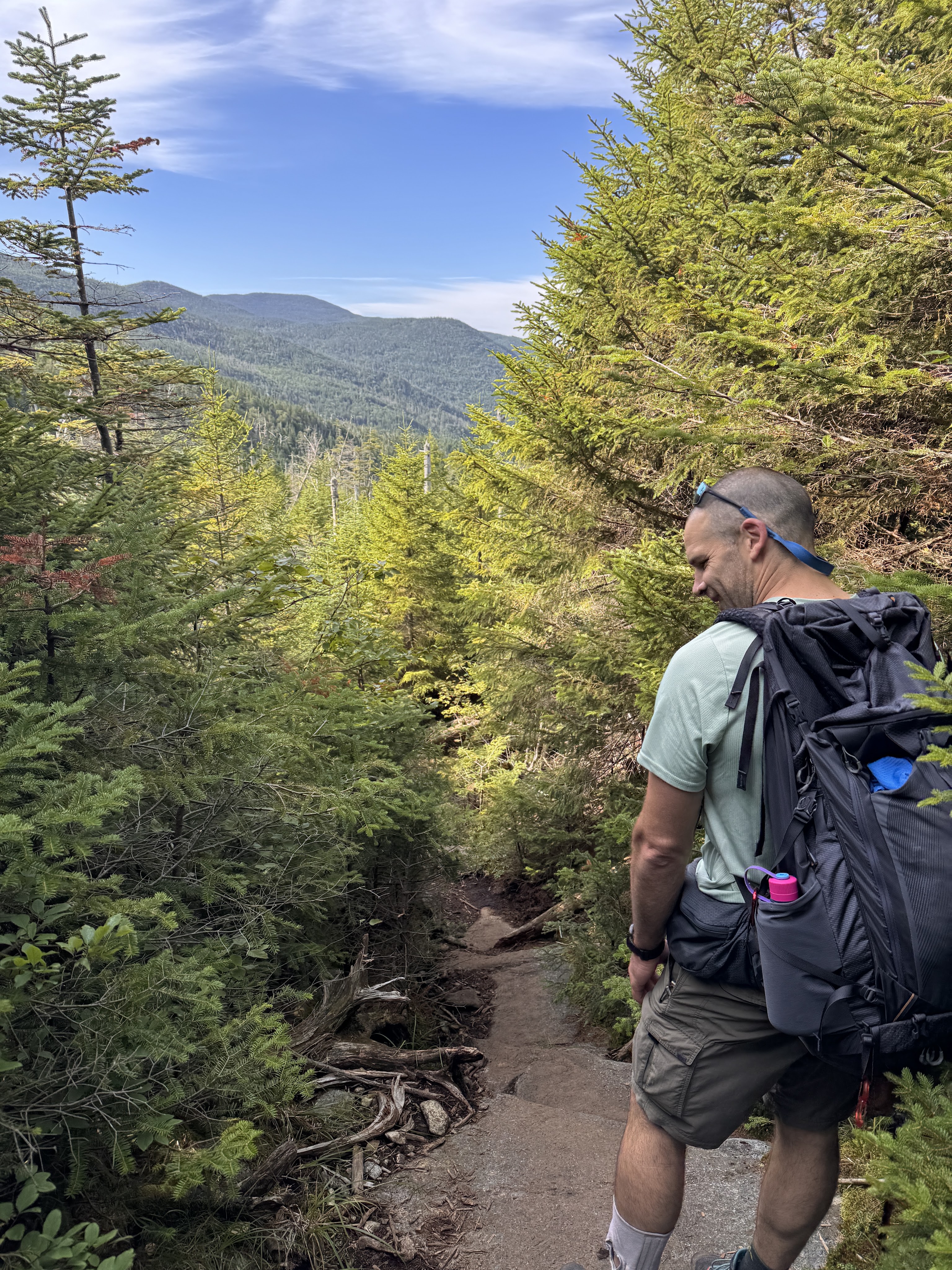
Rather than absolutely drench this report in pictures of mushrooms, here’s a collage of some of the ones we saw throughout the day.

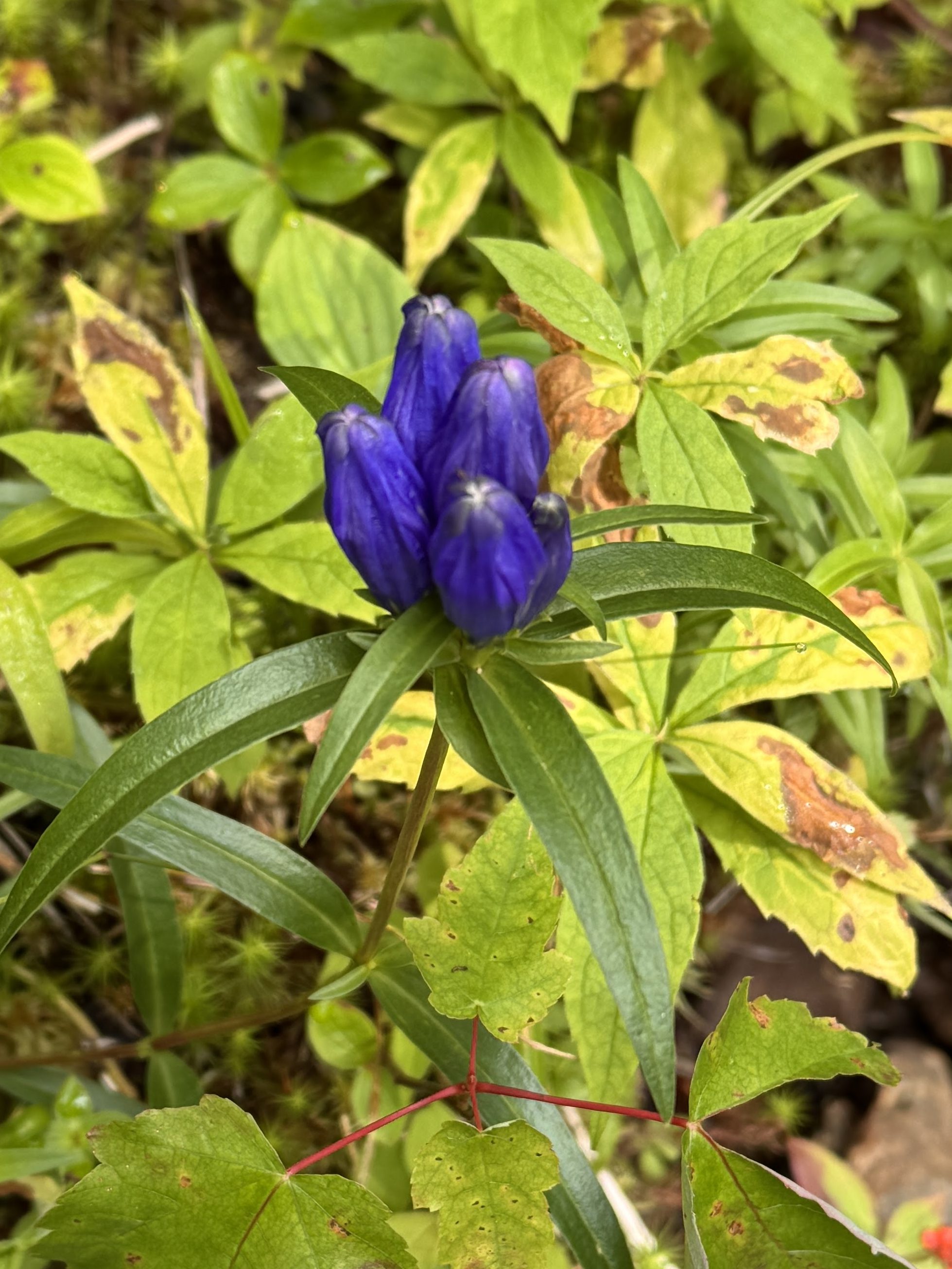
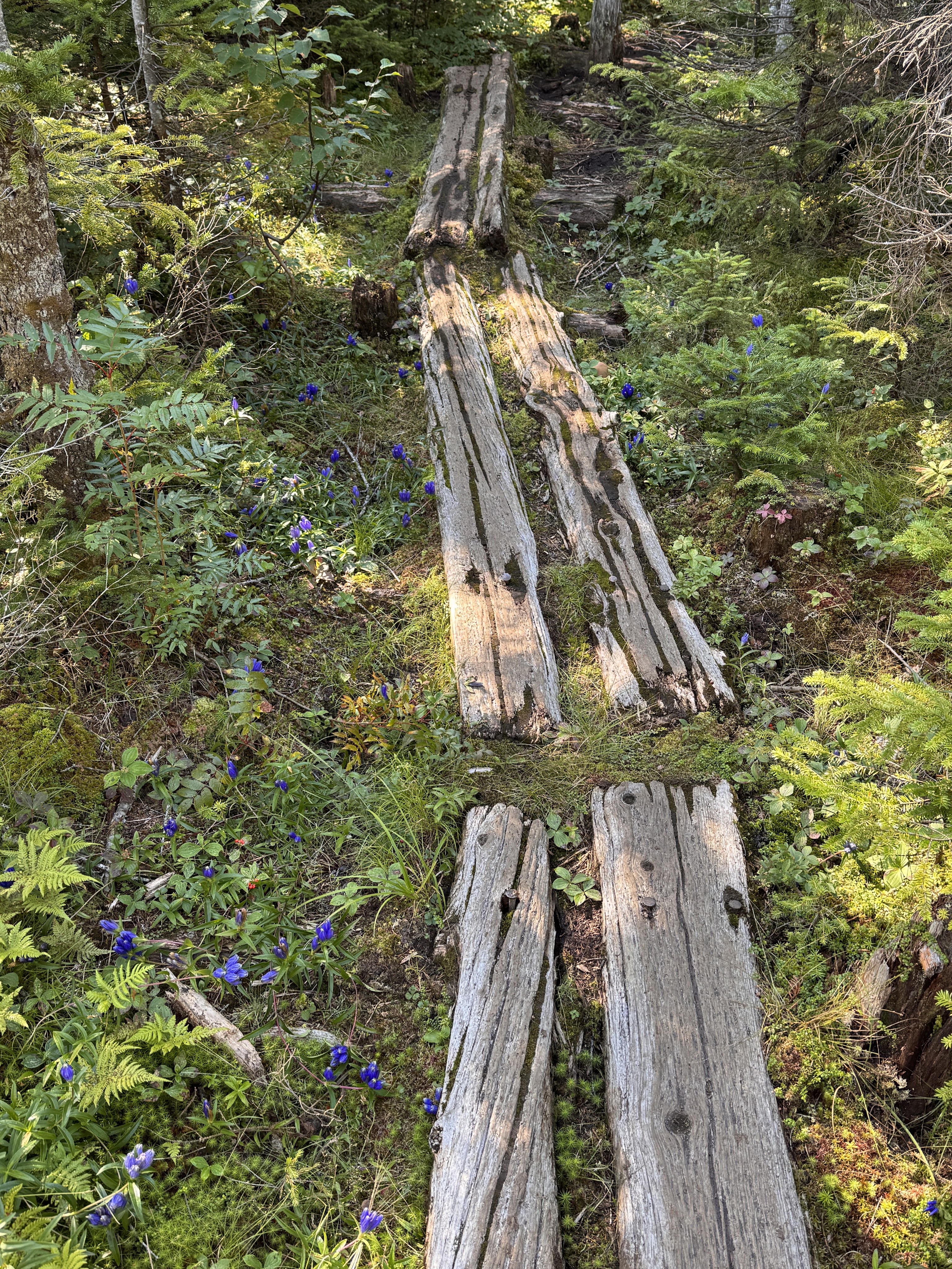
And one of the many pretty flowers.
This one had good squish to it – 8/10.

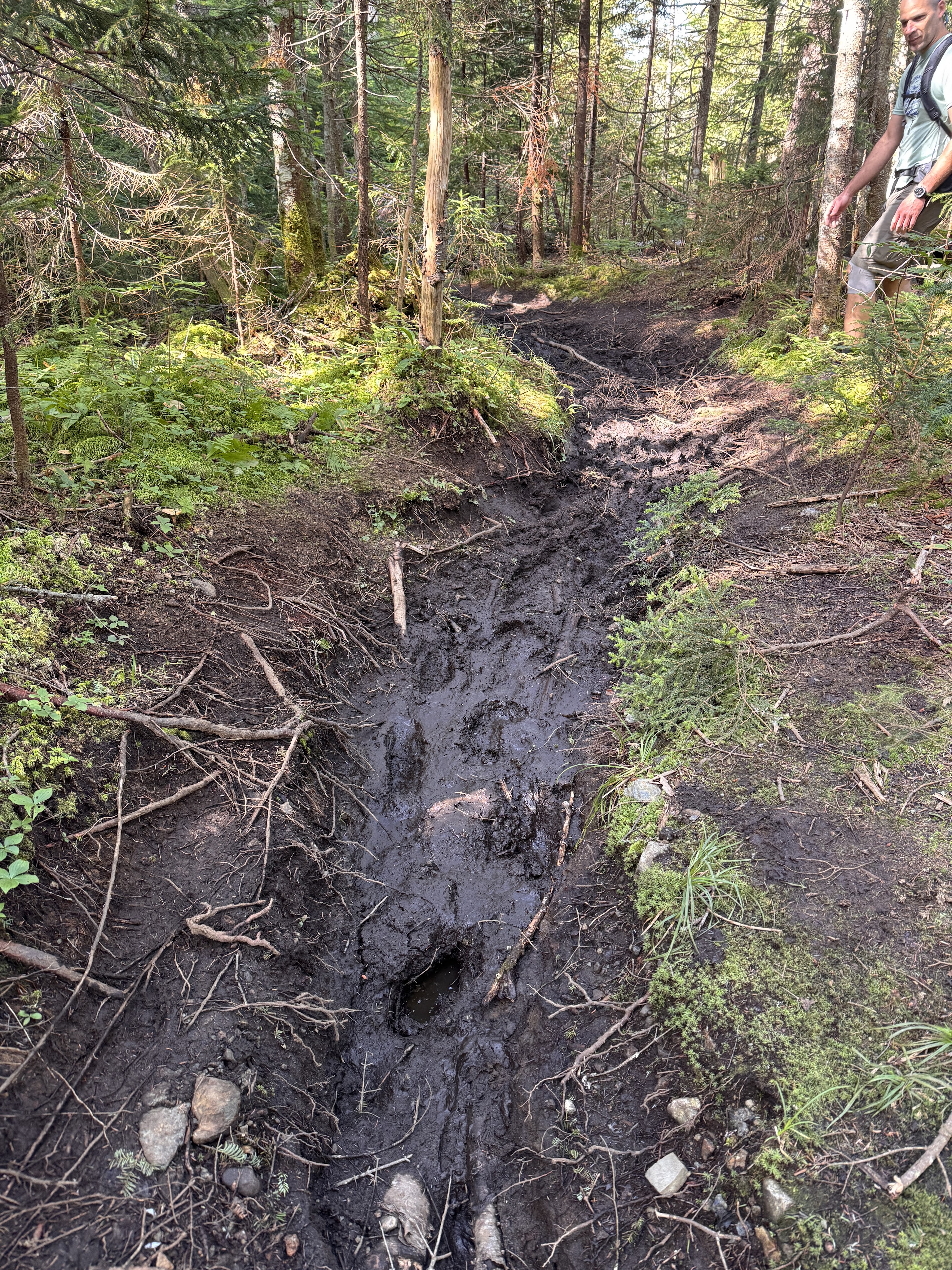
Of course the mushrooms weren’t the only thing that flourished in the rain – the mud was soooo happy. We managed to pick our way through without any major incident though.
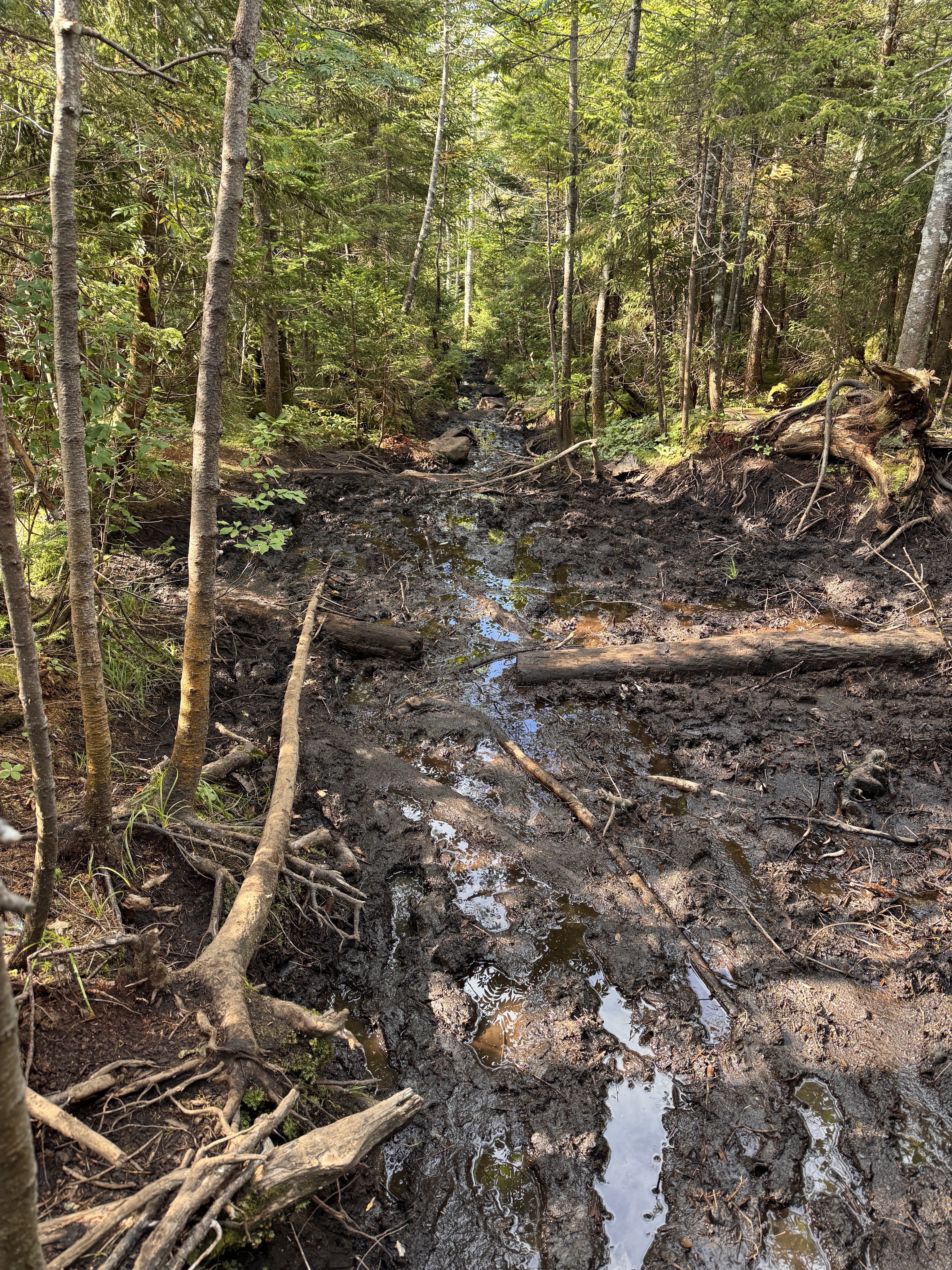
But we saw someone else wasn’t so fortunate!
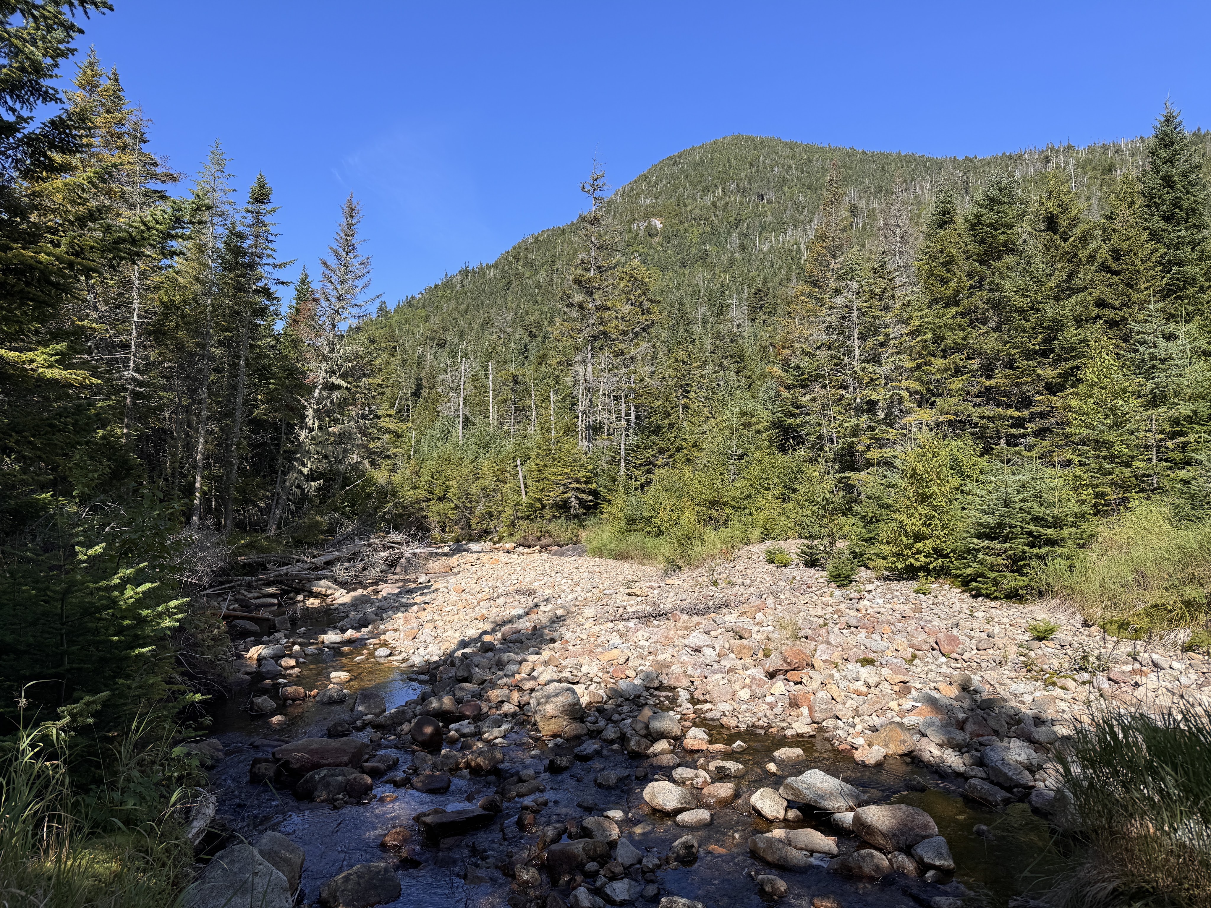
See Mt Colden looming on the right on the other side of this mostly-dried brook.
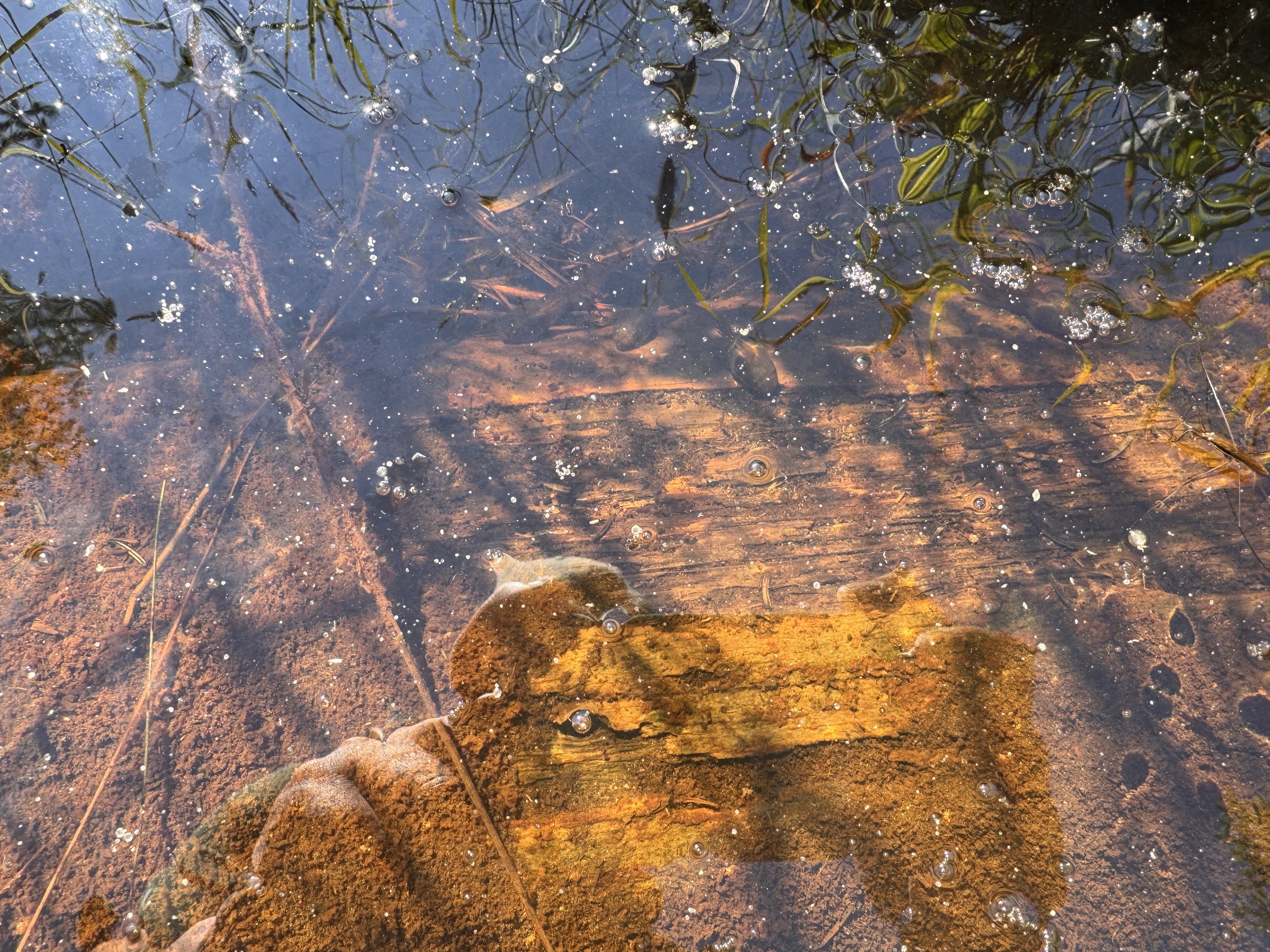
It’s hard to tell but there are a bunch of big tadpoles in the picture below!
Alas, we reached the Feldspar bog and its floating log bridges!
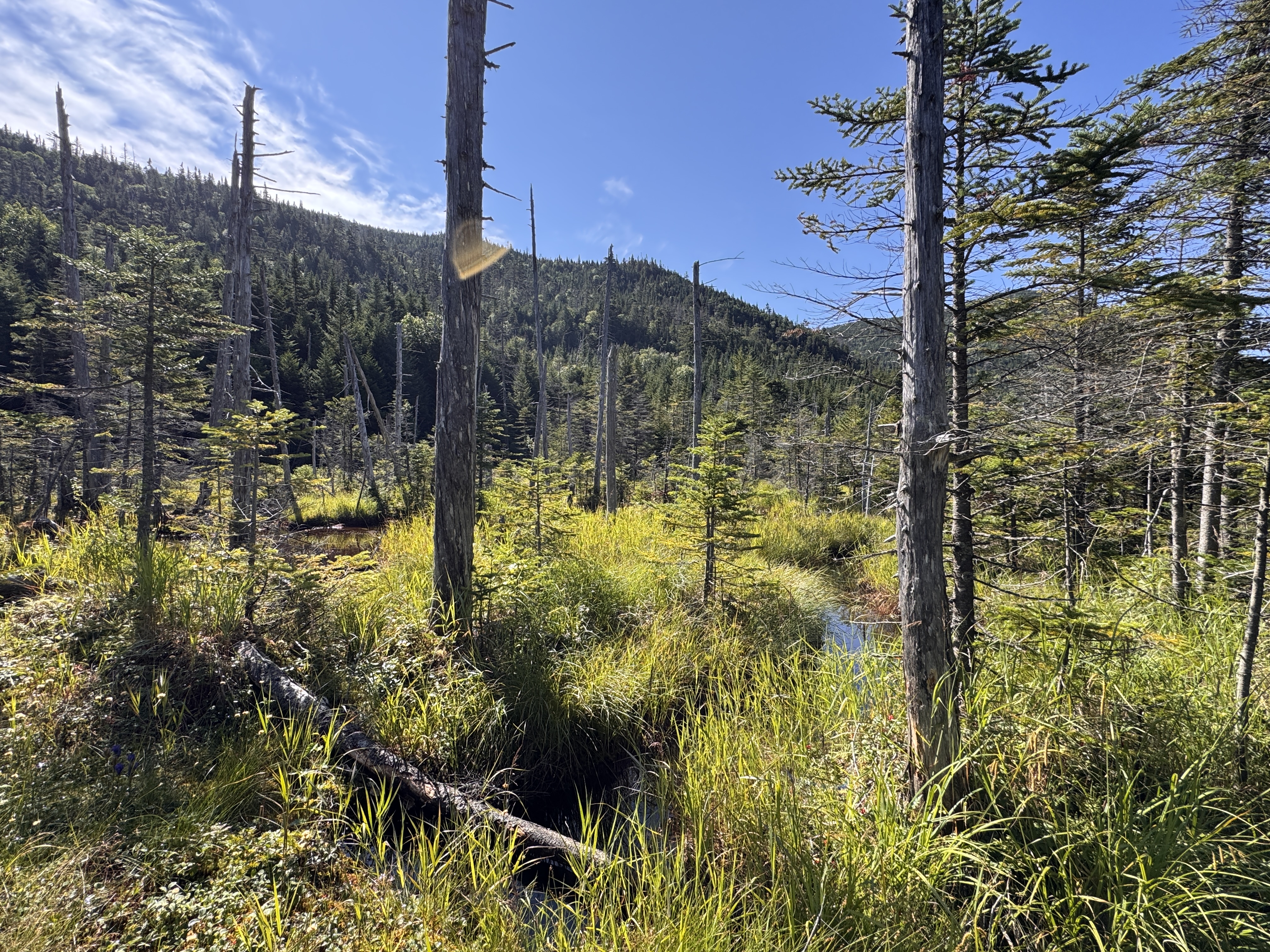
The logs here looked pretty dubious to me. Luckily for us, they were mostly set in place, though they’re known to float about the bog. Gildo tried his luck crossing them, while I crossed a much more stable ‘bridge’ like 20 feet away.
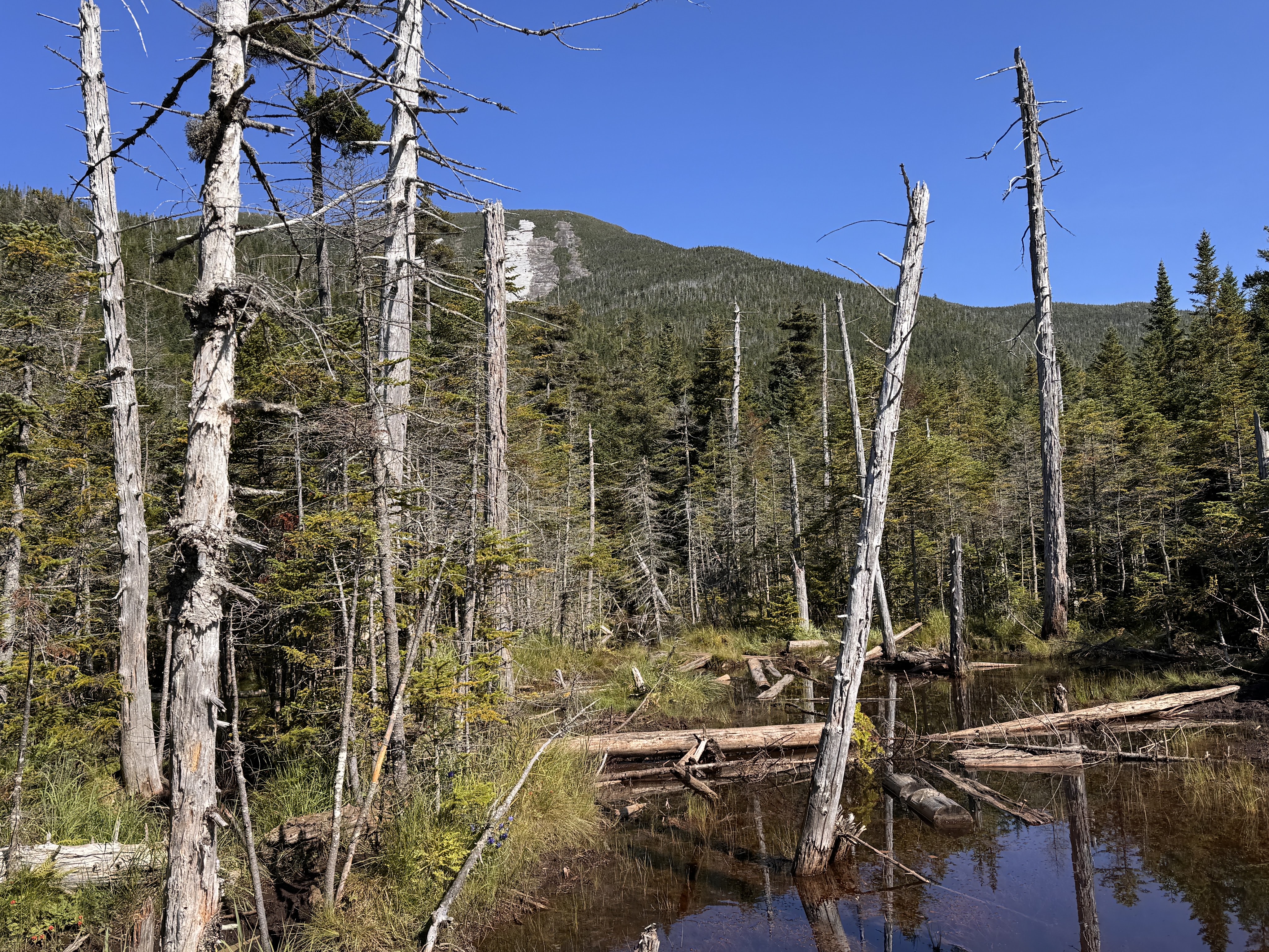

At 10:10 we reached the campsite and the next junction.
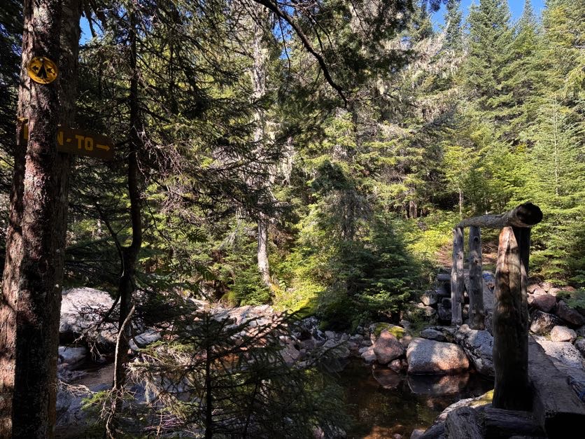

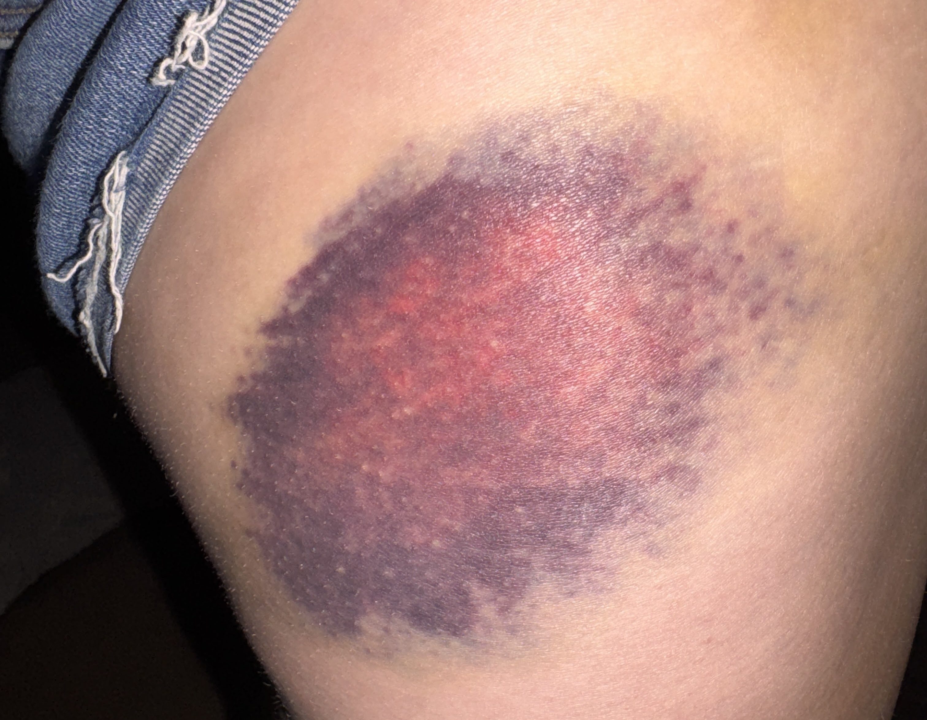
Now just about a mile to go to reach the junction with Gray. I wondered about these stair placed in this particular spot on the trail – why did this spot warrant stairs when no other spot did? Are they there to try to prevent further erosion? I’m not sure, but at some point along this trail I was rudely reminded to not trust rocks when my left foot slipped down a face of one rock, my left foot clambered for purchase but ultimately also slipped off of a rock, and I went down. I hit my hip hard on a jutting rock on the side of the trail and came to rest with my legs splayed out on either side. I knew I’d have one gnarly bruise from this one (receipts at the bottom of this report) but luckily I was more or less fine.
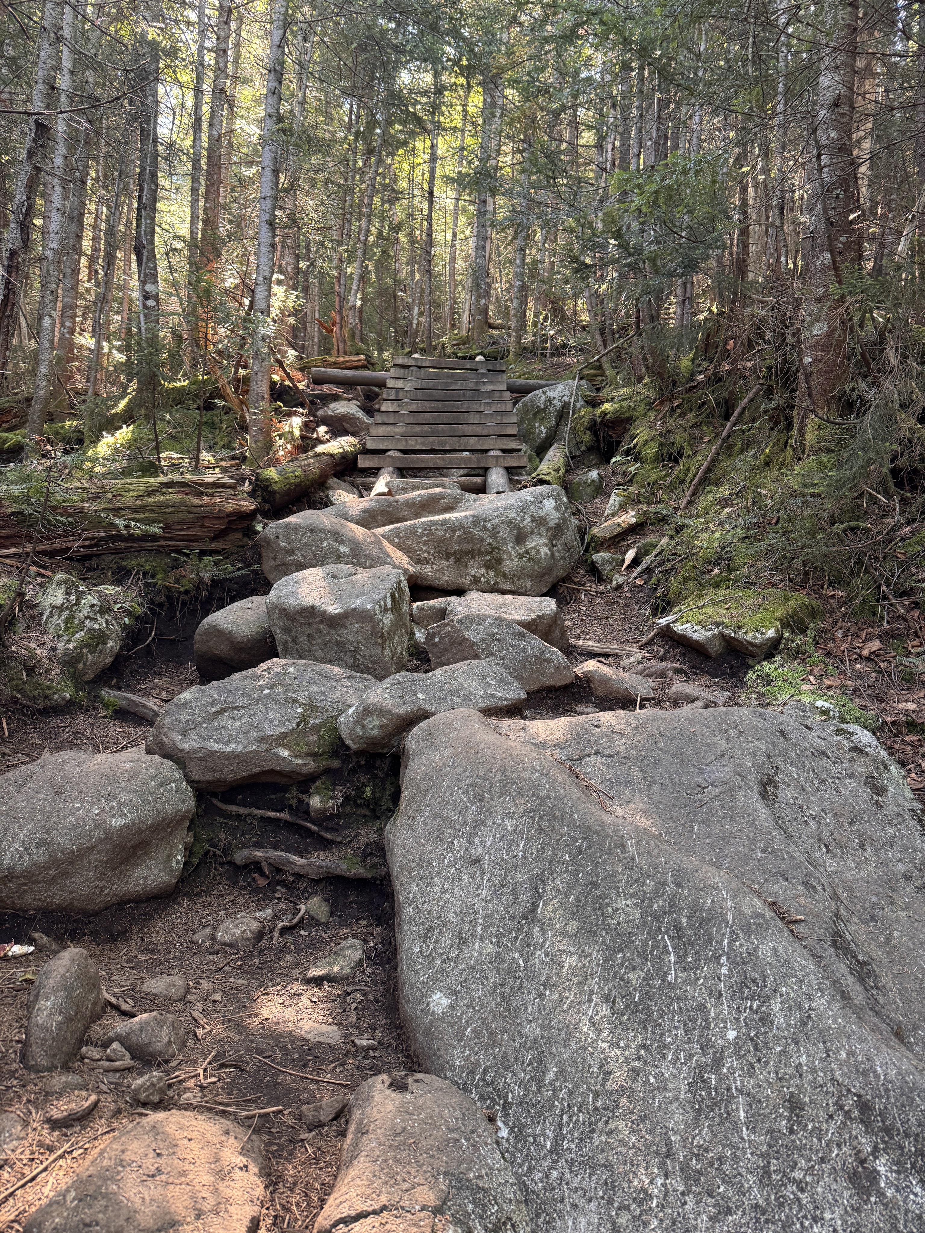
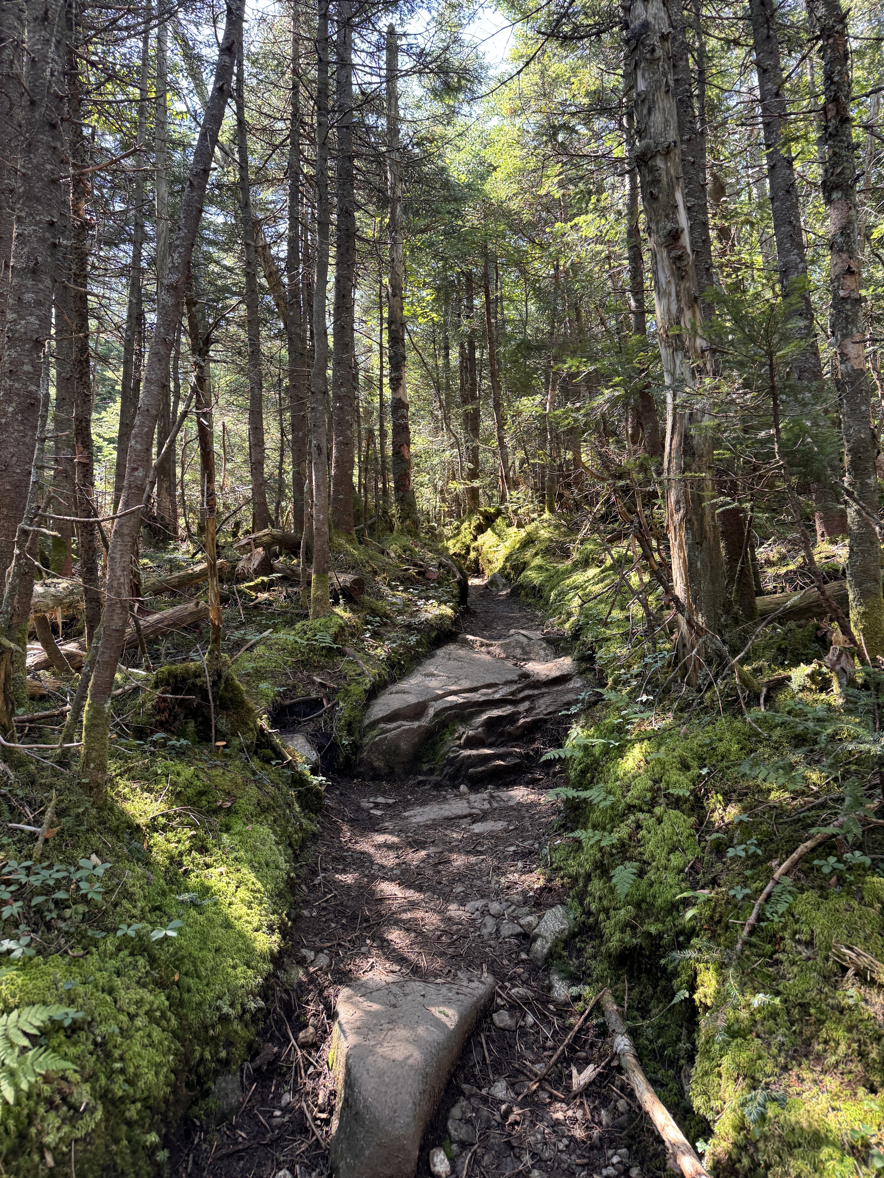
At 11am we reached Lake Tear of the Clouds! I’ve been looking forward to seeing this lake for almost as long as I’ve been on my journey to climb all 46 peaks. This is the highest water source that feeds the Hudson River!
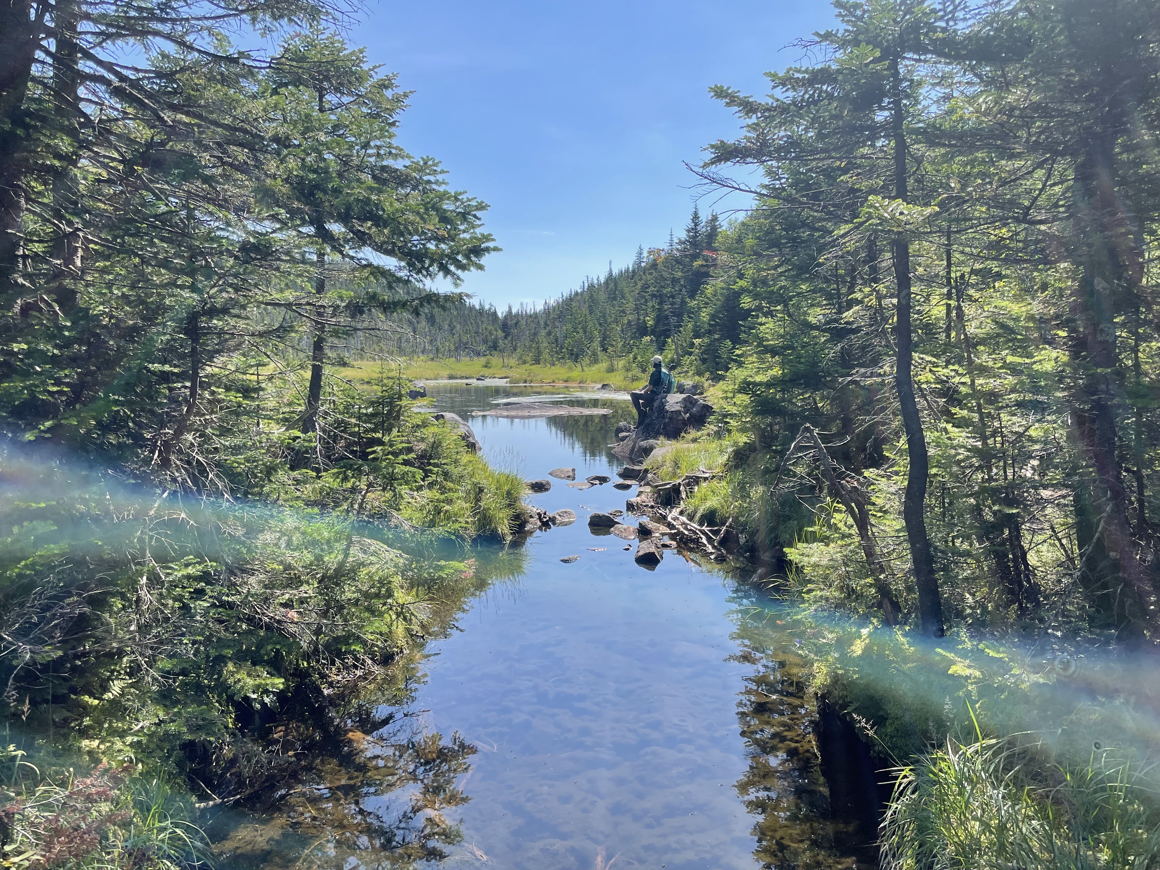
We stopped for just a minute to rest, then crossed the creek just below the lake to make our way up Gray. This is an unmaintained trail and thus doesn’t have any indication of the distance on the map, but it looks to be approximately 0.5 miles to the summit.
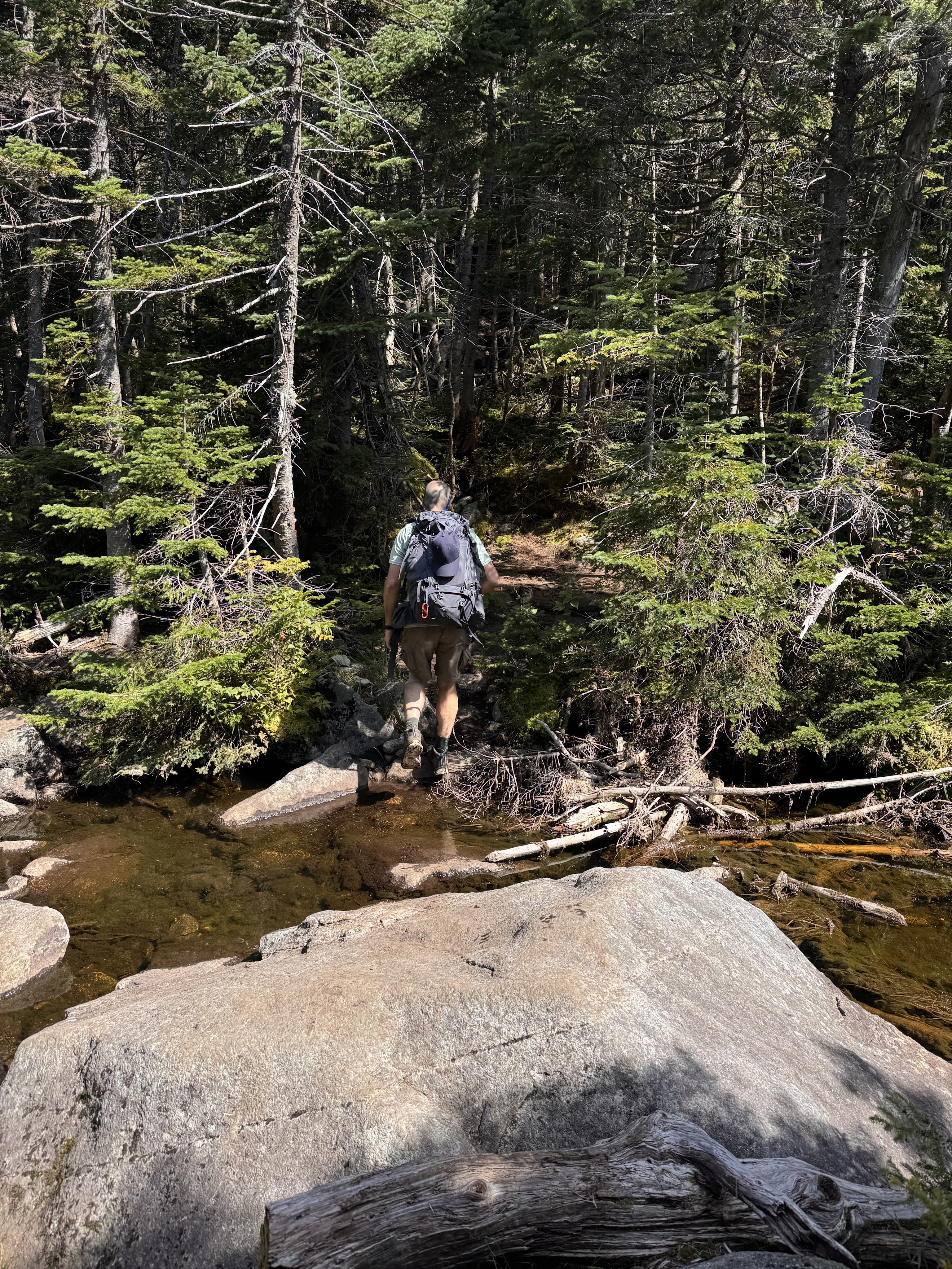
There’s no cairn or sign to indicate when to turn to go up Gray, but there is a fairly obvious opening in the trees on the other side of the creek just before reaching Lake Tear of the Clouds.
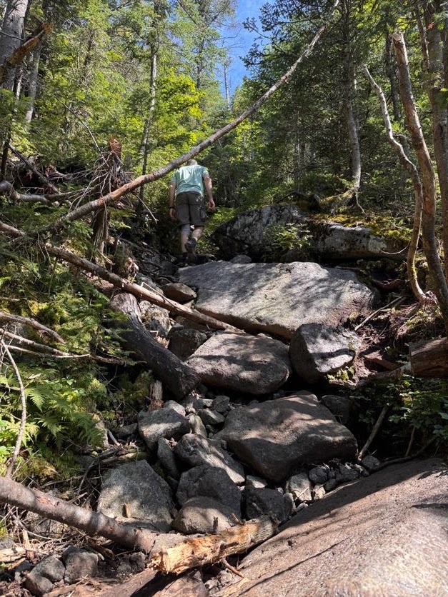
We stashed our bags at the col to make it a little easier to scamper up and down. This trail was expectedly rugged with its steepness, boulders, and bare rock faces, but nothing unmanageable.
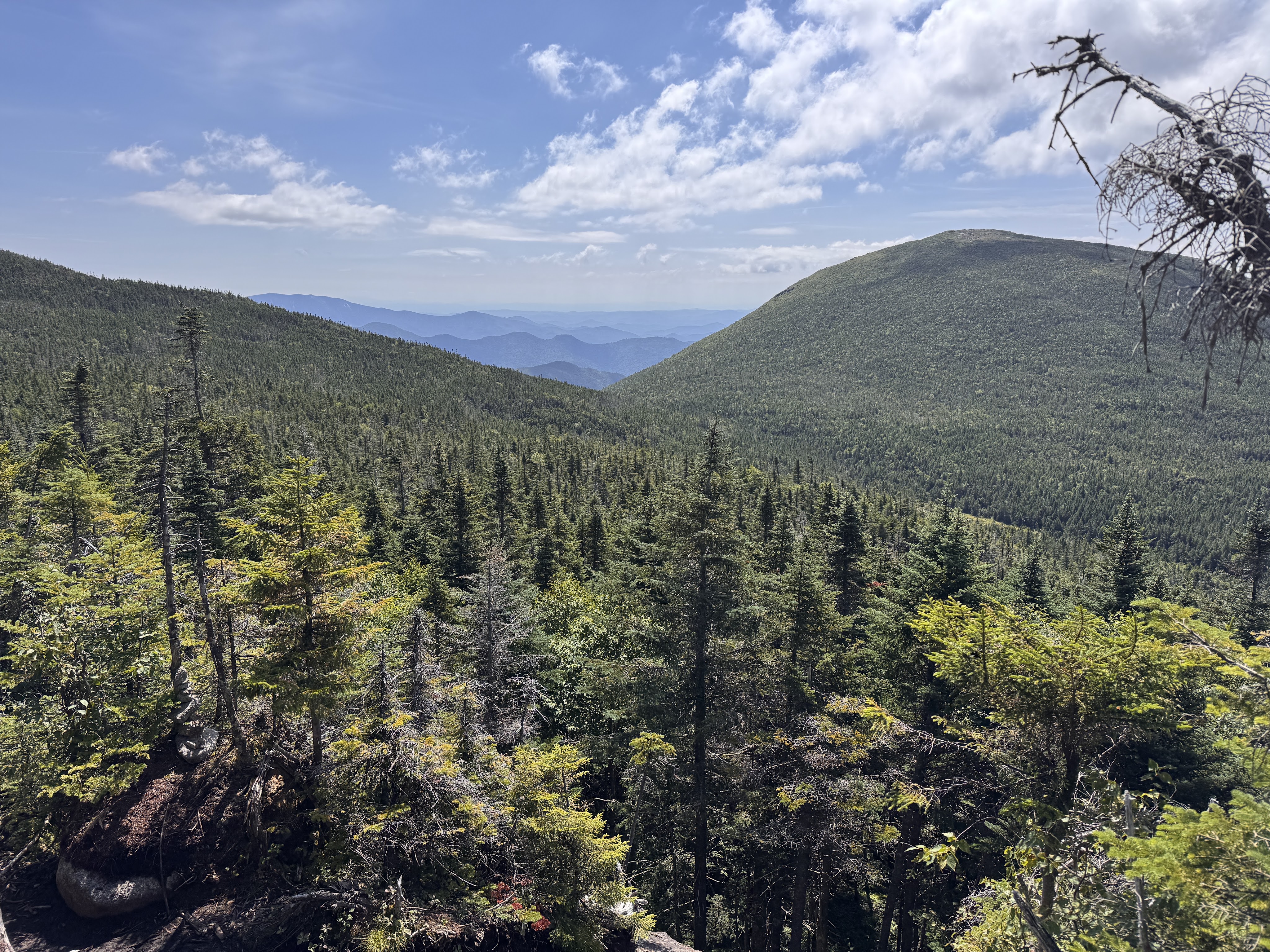
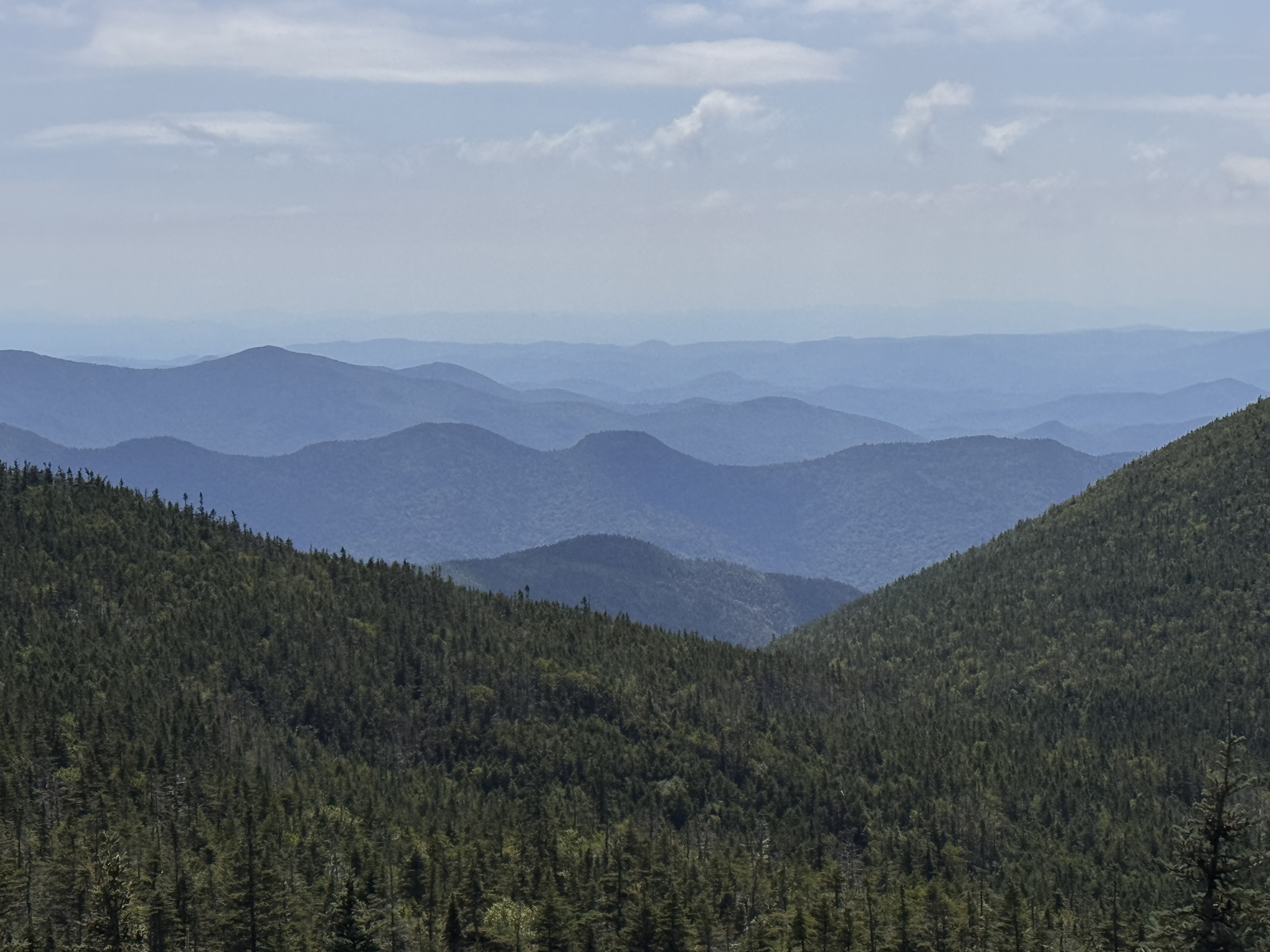
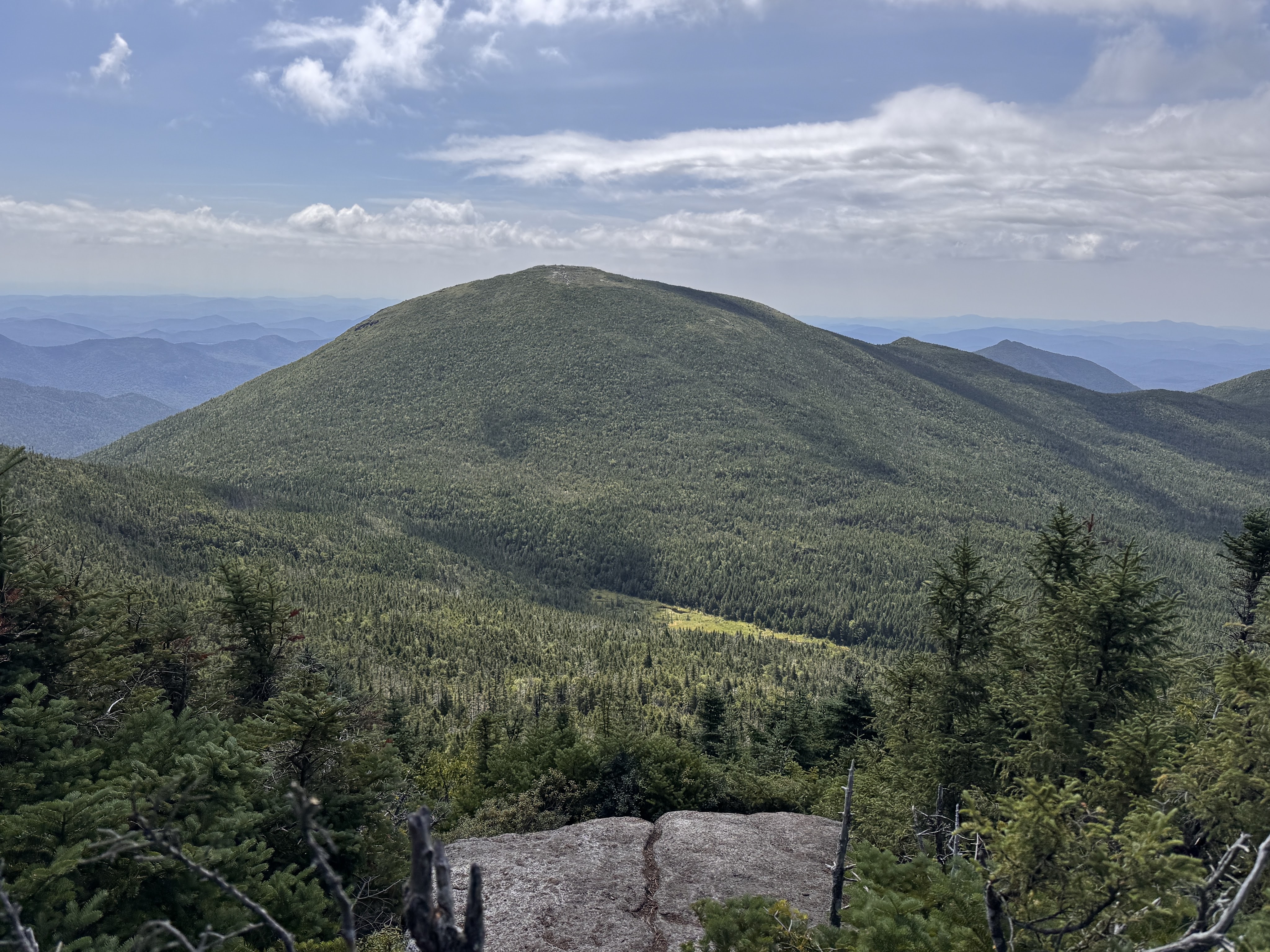
I thought there were no views on the way up Gray and was so pleasantly surprised by the ones we had! Though it was intimidating to look back down at Lake Tear and see Skylight looming behind it.
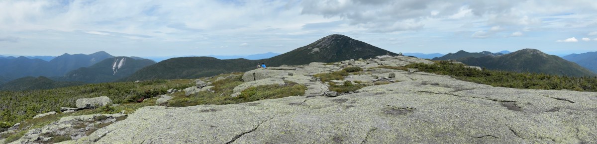
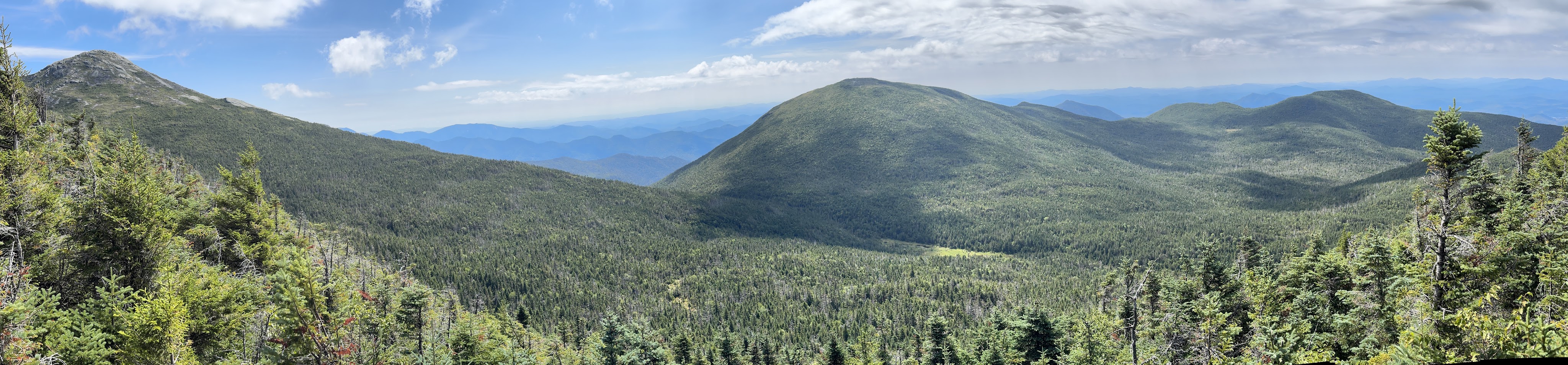
Even more intimidating was Marcy, on the left of the panorama below.
We reached the summit 25 minutes after leaving the col, at 11:40am.
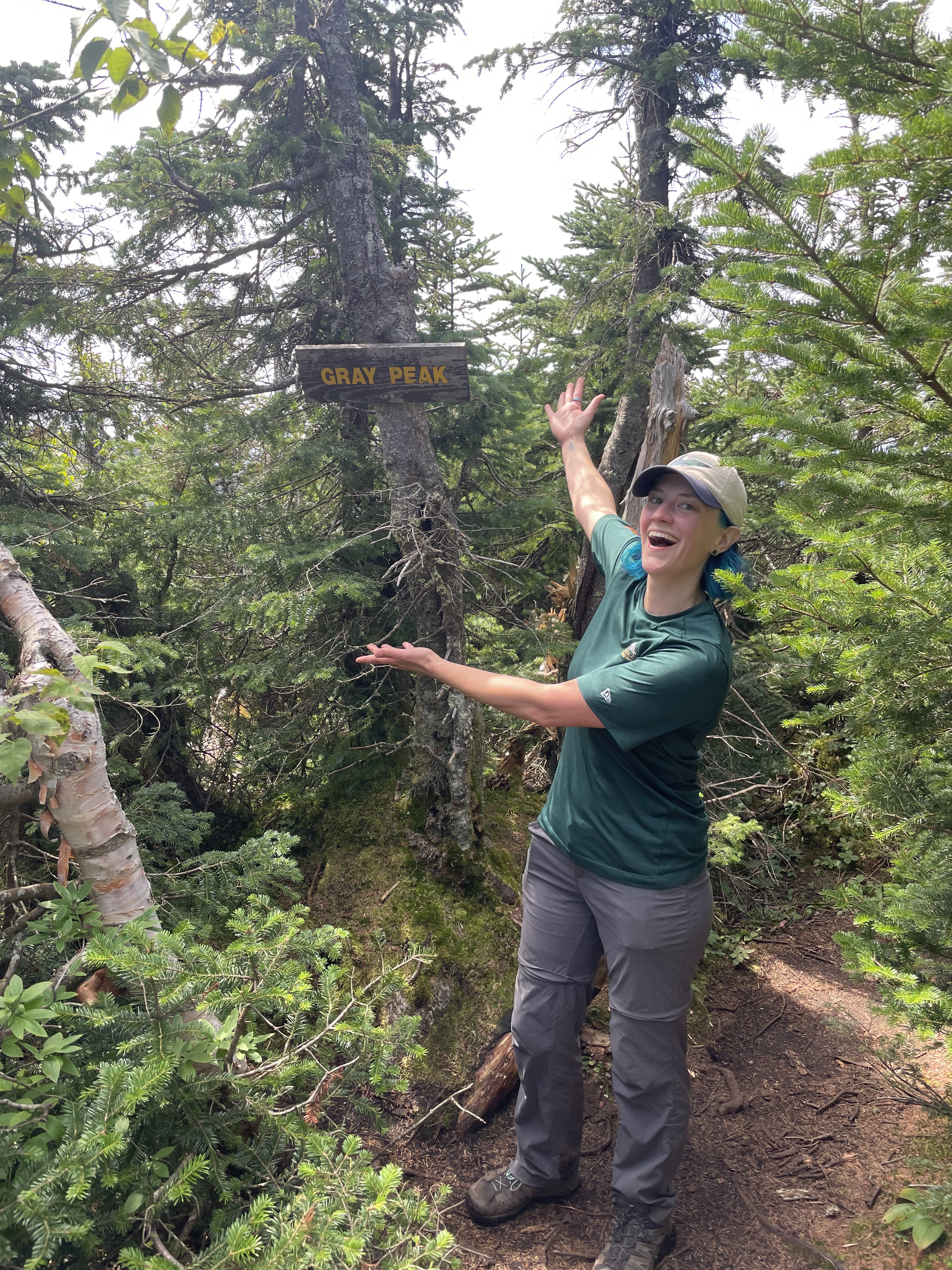
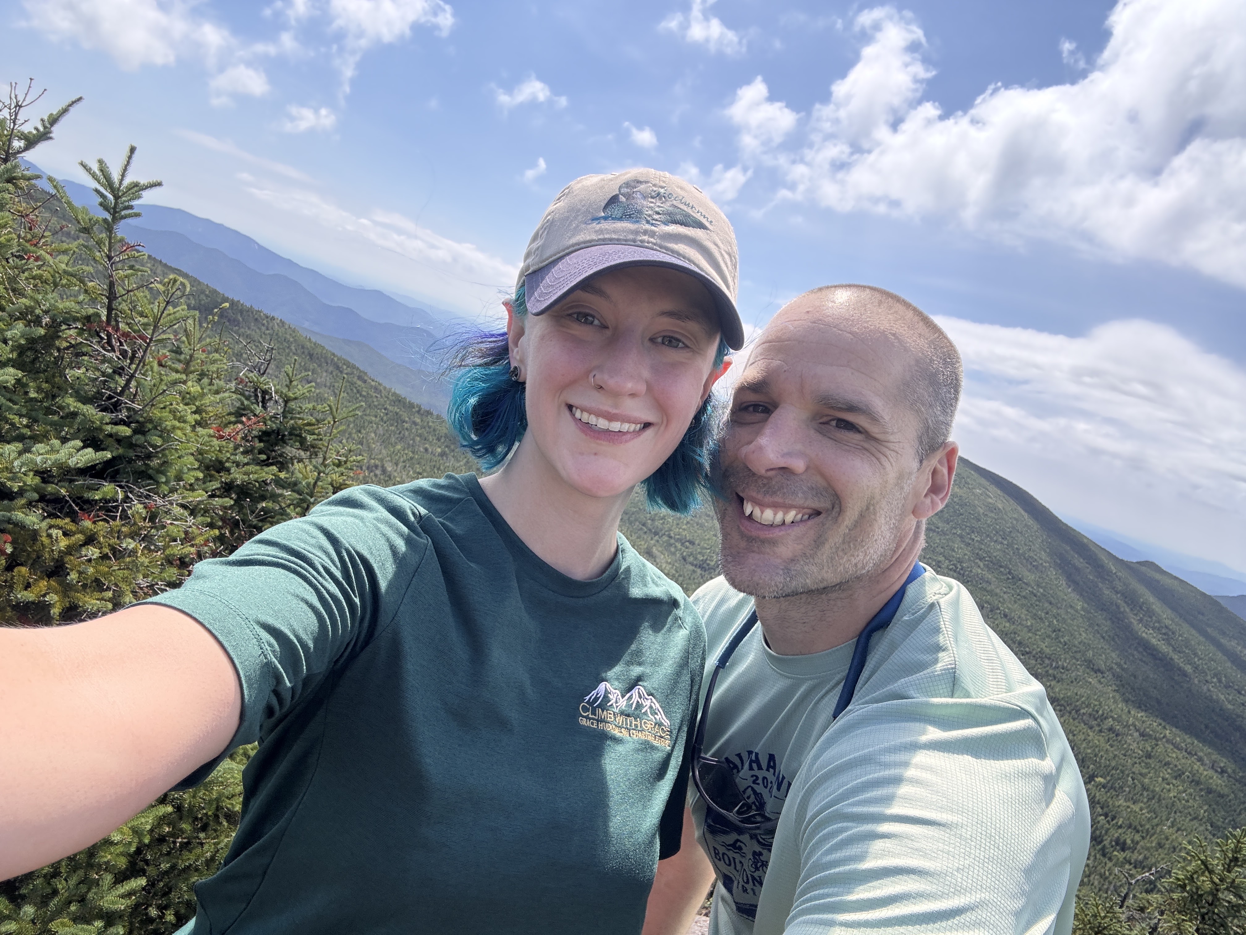
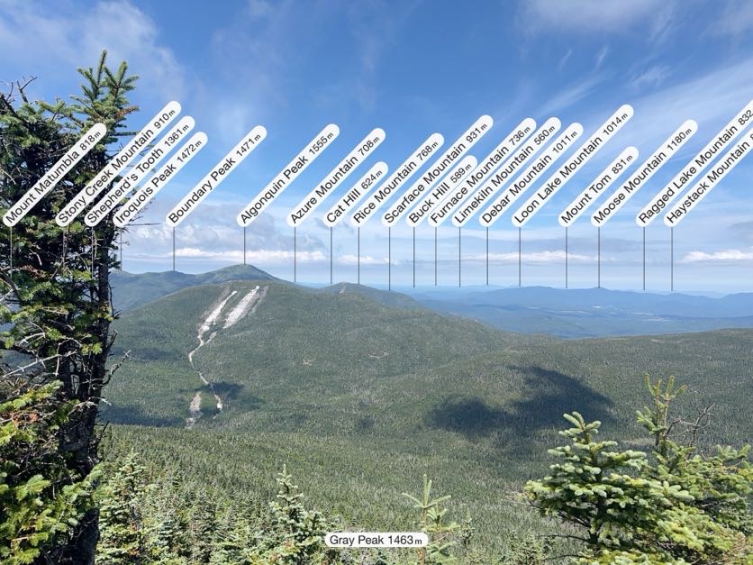
We stuck around just long enough to snap a few pictures (the one below courtesy of my Peakfinder app) and locate the summit marker. The true summit of Gray is wooded, but it does currently have a sign!
We wasted no time in scampering right back down and once again reached Lake Tear 25 minutes later, at 12:10. This was our first real break of the day. We sat for 20 minutes to filter water and have some lunch before setting our sights on Skylight.
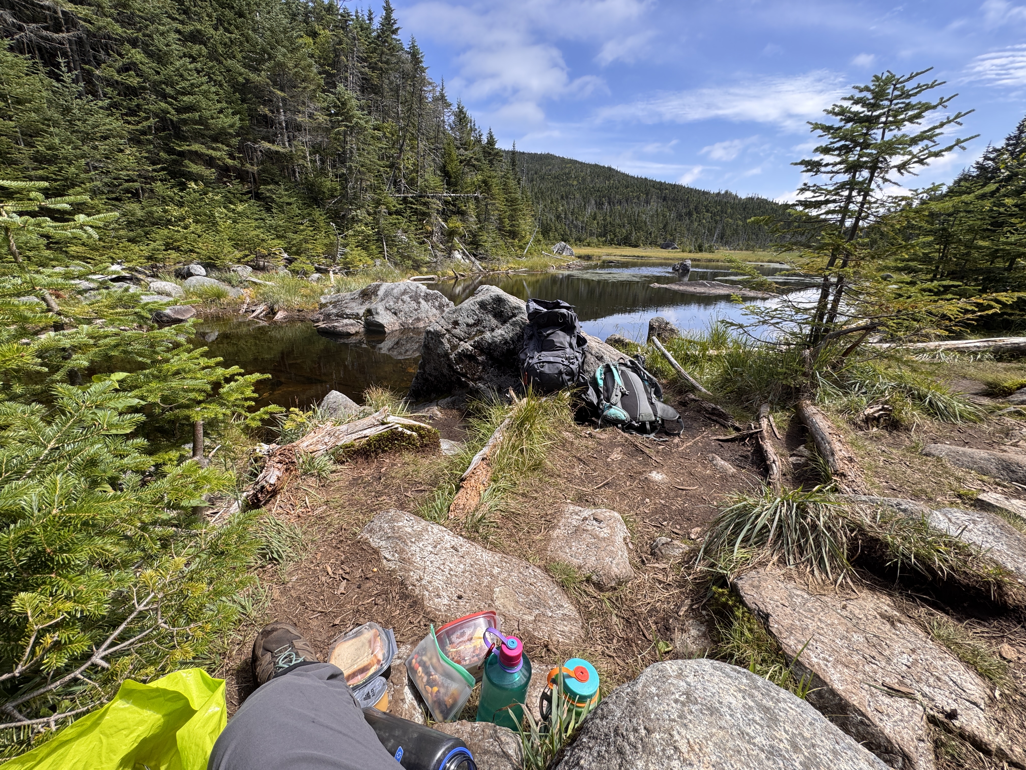
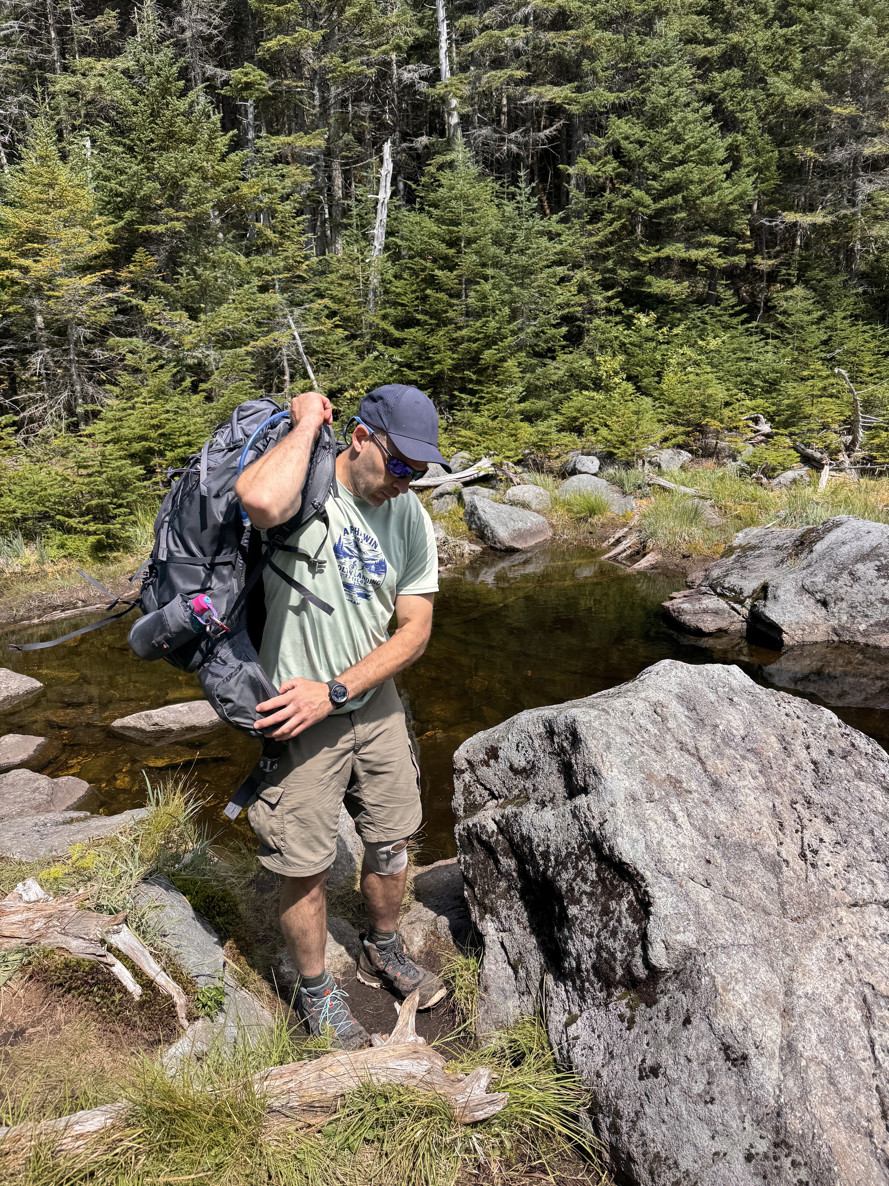
Gildo wanted so badly to take his shoes off an put his feet in the water. It did sound nice but the thought of putting my crusty stinky socks and shoes back on my feet was almost unbearable. At 12:35, we took our leave.
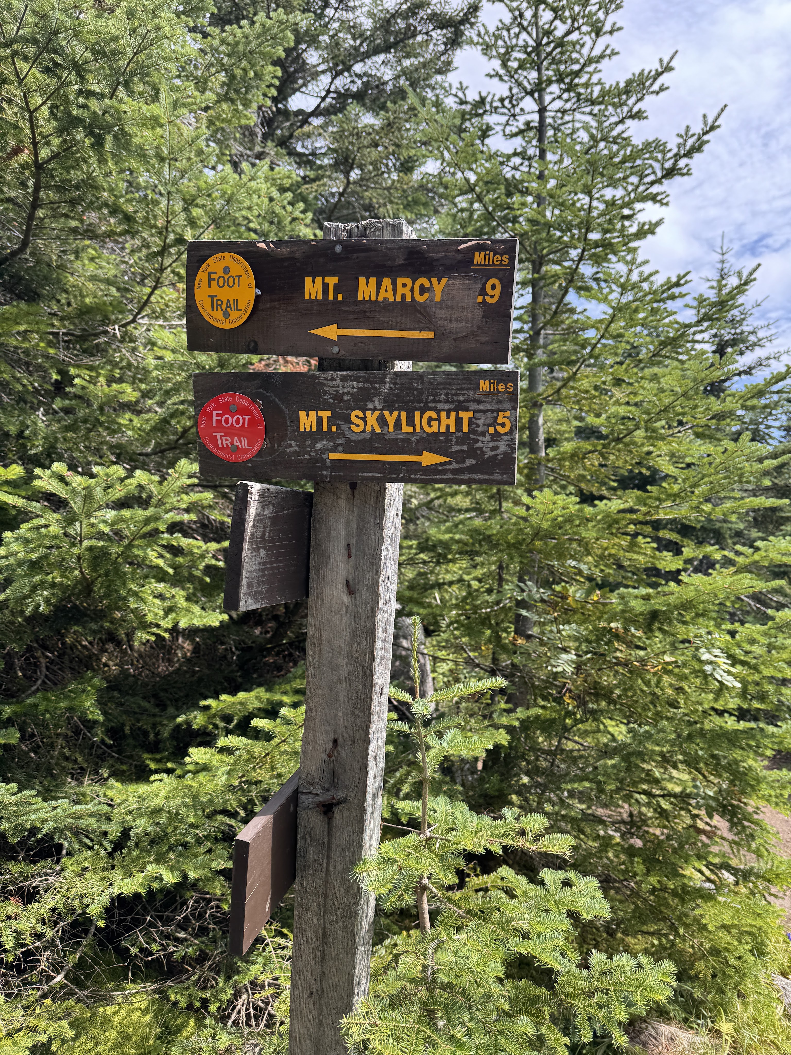
10 minutes later we reached the junction to Marcy and Skylight, and hung to the right. Just half a mile to go!
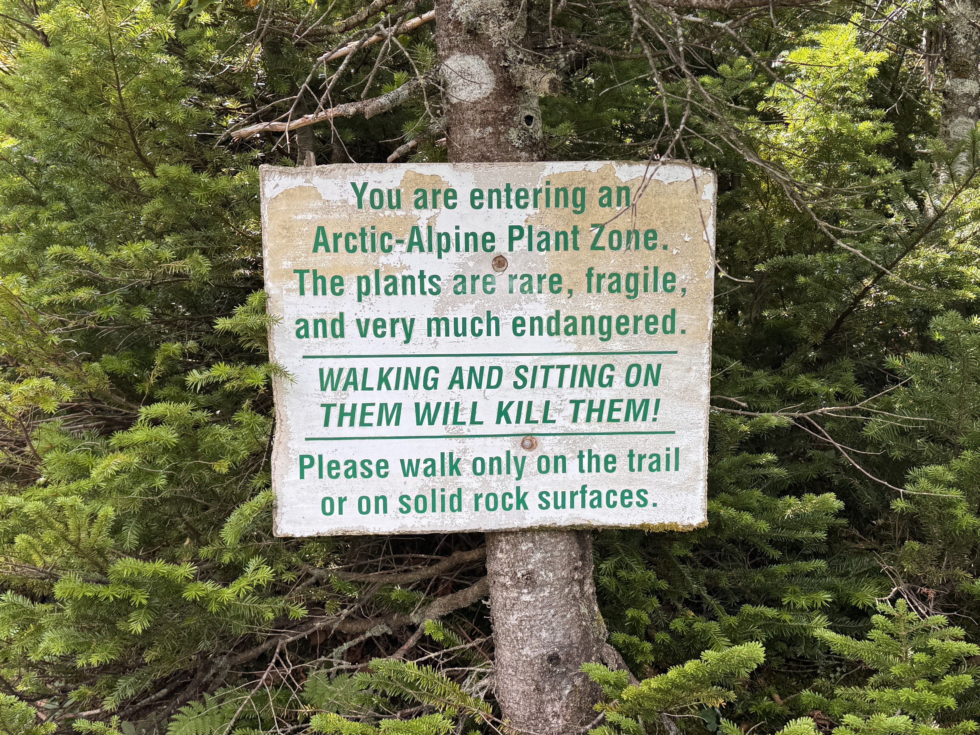
I was starting to have some trouble with my left hip on the way up by this point, and actively dug my thumb into one of my hip flexors to keep it in place while I walked. 15 minutes of climbing later, things were looking promising as we reached the Arctic-Alpine plant zone. Almost there!
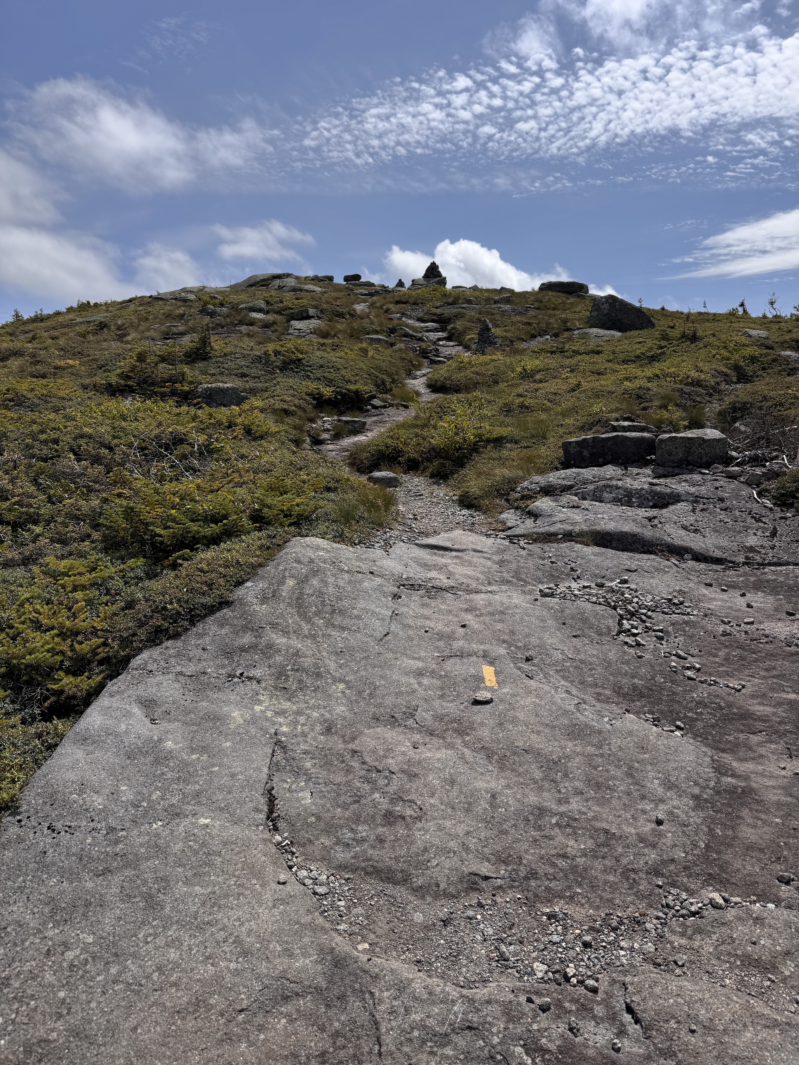
We emerged from the trees and wound our way up the bald cap of Skylight.
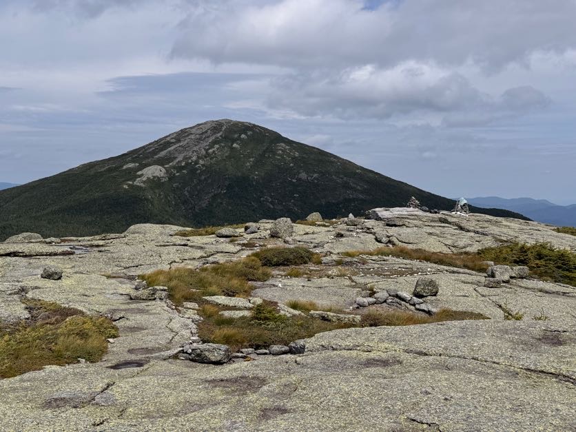
At 1:08pm, we reached the summit and turned around to see Marcy staring us down.
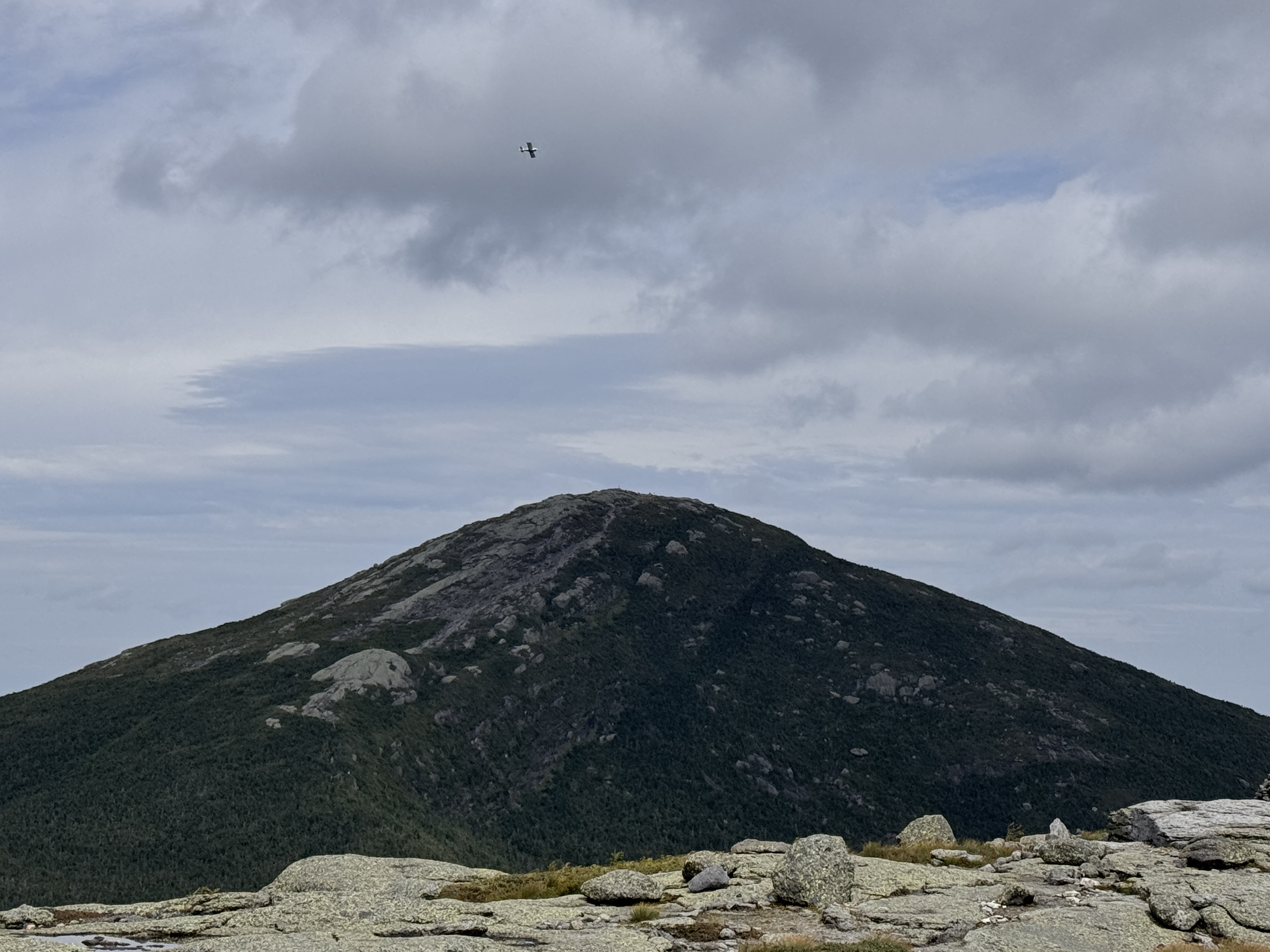
And watched a little plane perform some spins as it circled Marcy!
The views were breathtaking. People keep asking me what my favorite mountain has been to climb in the high peaks, and I really don’t know. It’s so hard to say. A lot of my experiences in the mountains are shadowed by pain – I have a genetic connective tissue disease called Ehlers Danlos Syndrome with causes issues with all of my joints, my circulation, digestive system, eyes, you name it. So I’m sure there were mountains I’ve climbed that were absolutely beautiful, but if I was in a state of just trying to survive the day, I may not have appreciated it. This day the only thing bothering me so far was my left hip – I had to keep pressure on one of the tendons as I climbed to keep it from popping out of place – no big deal honestly – so I was fully in awe of not just the sights, but how I felt, appreciating the moment as much as possible.
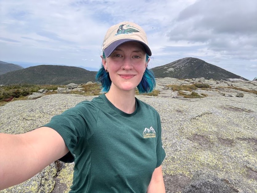
In these last 10 years, so much of my life has changed. At one point, when my pain and issues associated with my undiagnosed illness were at their peak, I had to come to terms with possibly never being able to climb these mountains again. That’s like taking a part of my soul from me. I was inconsolable for a while, but here I am.
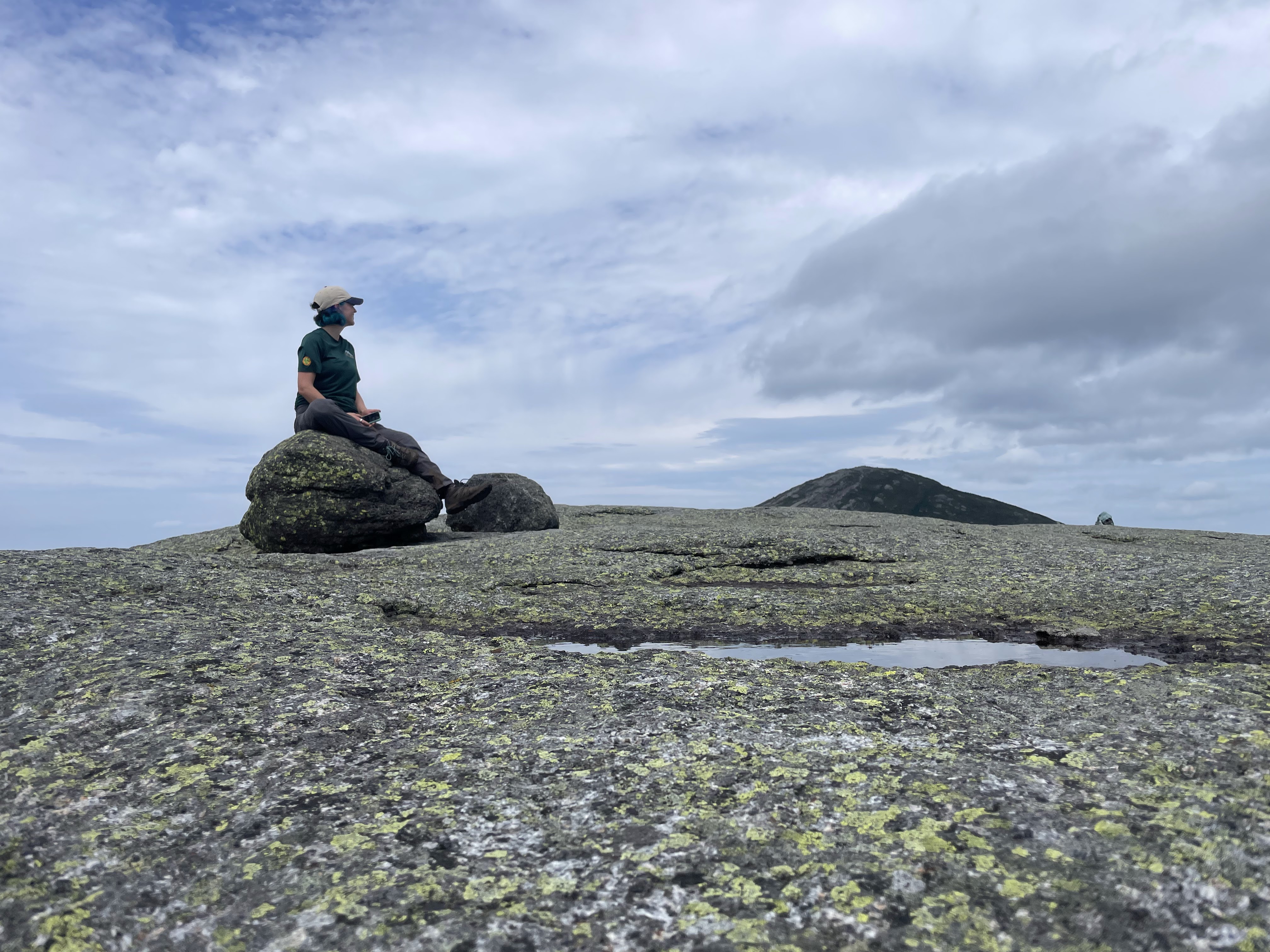
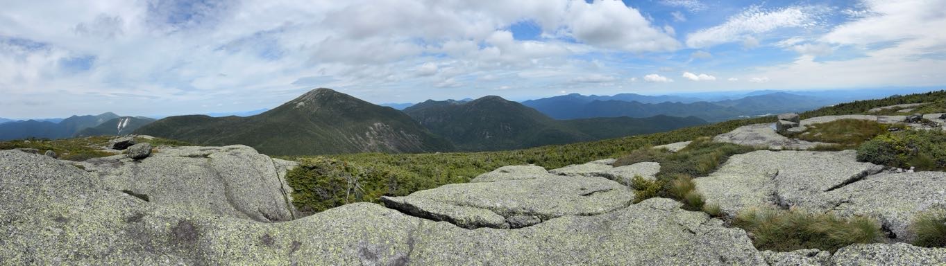
I wanted to stay up there forever. I did not want to come back down. But I knew my friends were already over on Marcy waiting for me – I could see them standing on the summit, waving!
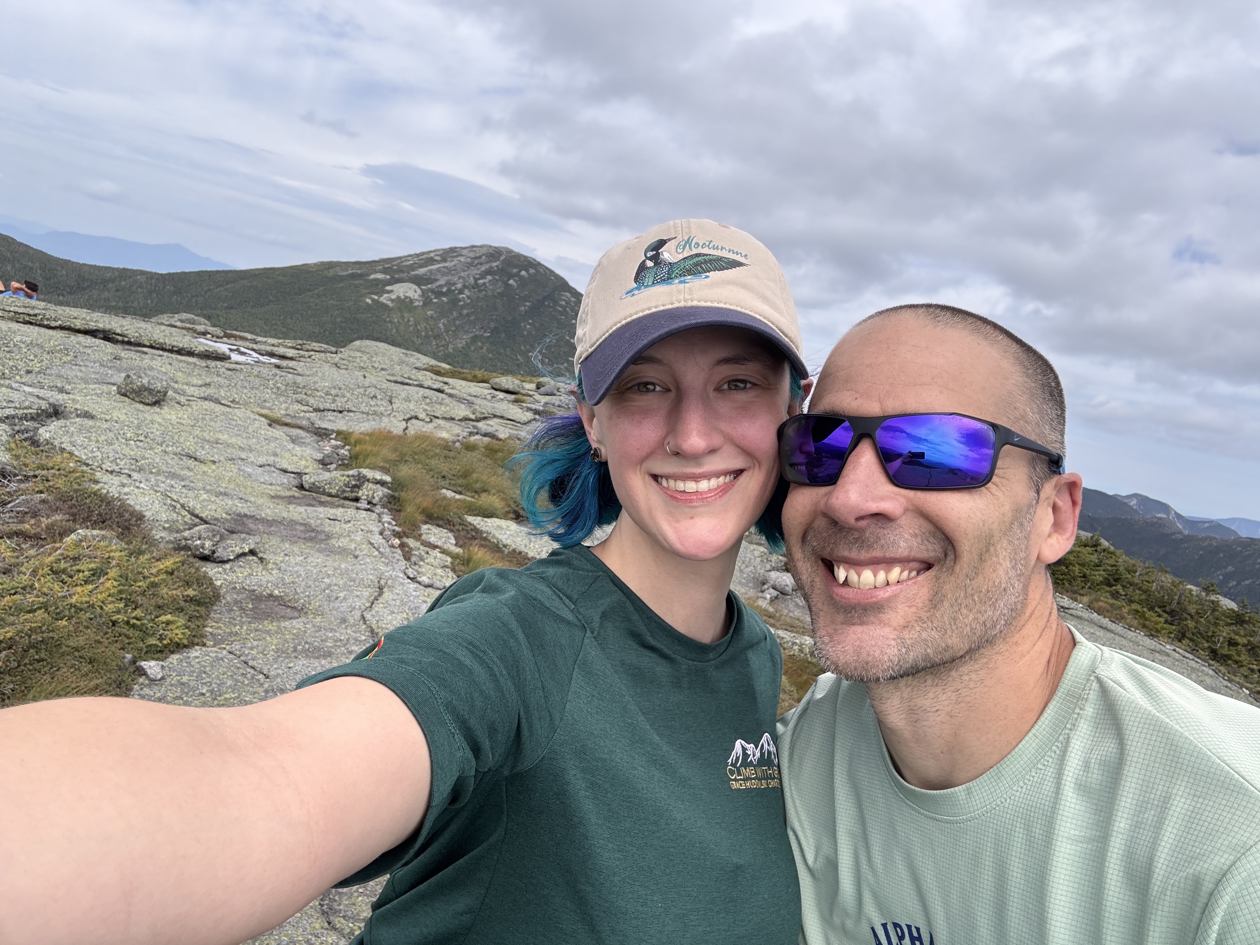
At 1:15pm we begrudgingly made our way off the summit of Skylight.
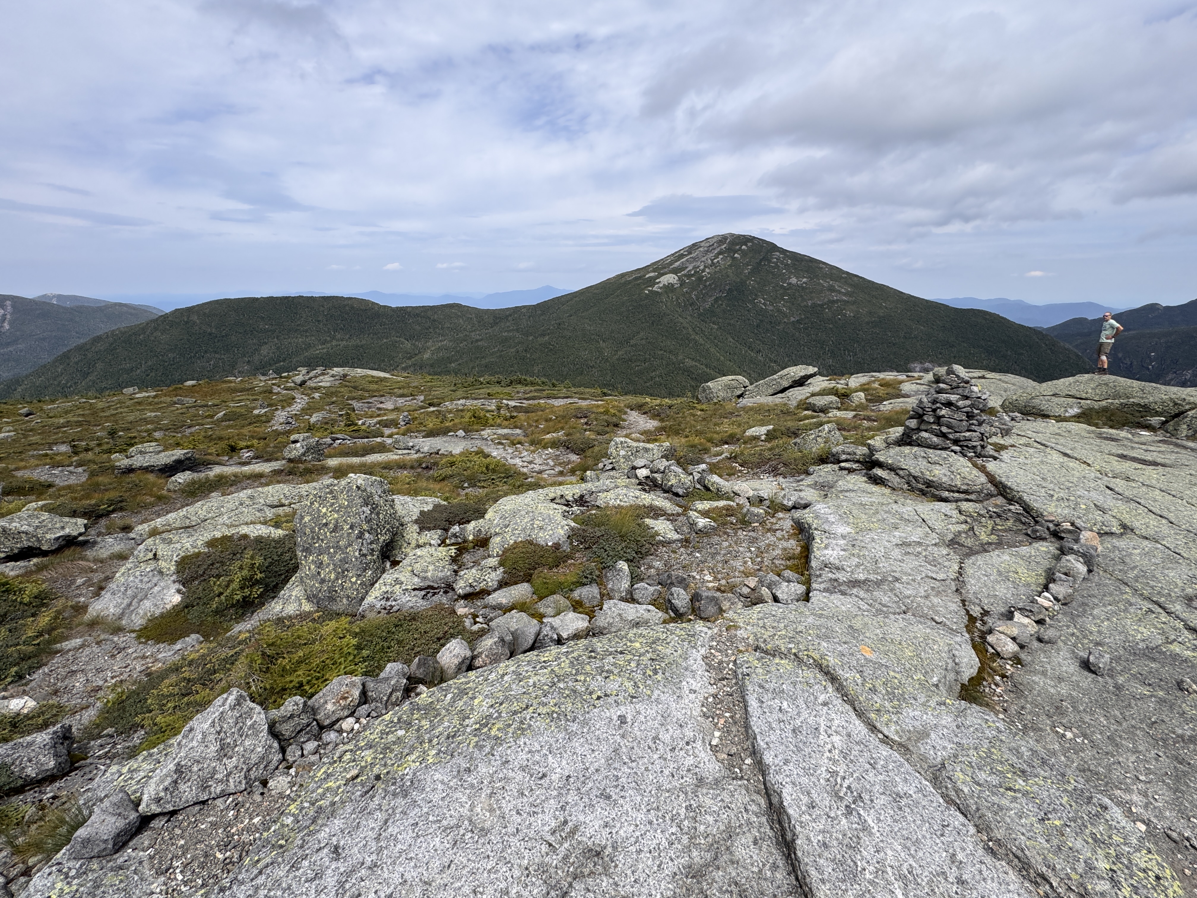
Seeing this view coming down Skylight was downright humbling. There may have been some vocal lamenting during the descent.
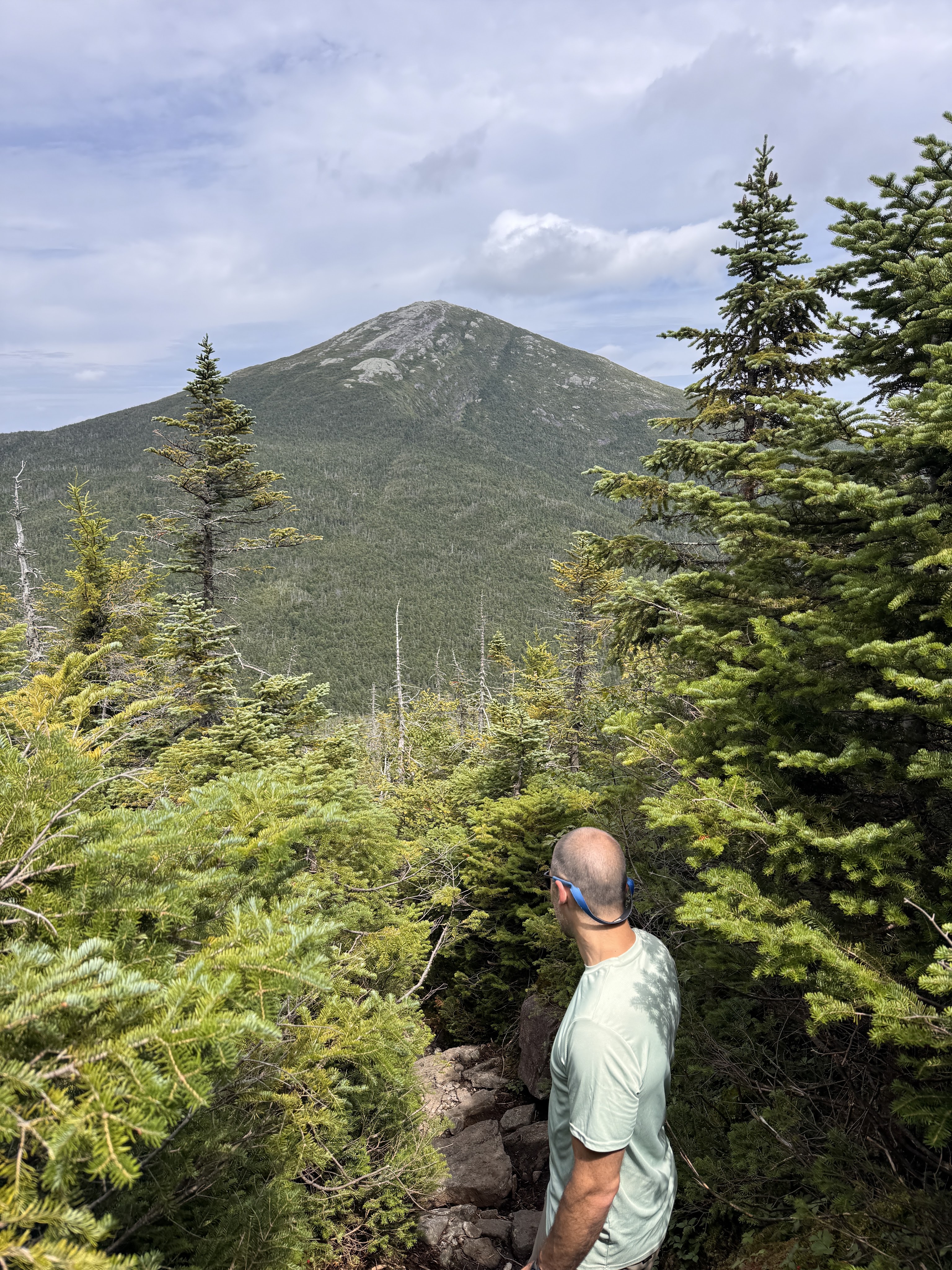
At 1:37pm we reached the spot where we and apparently everyone else had stashed our bags to go up Skylight. Gildo had set up the water bladder to filter our water while we climbed, so it was all ready by the time we got back. We hydrated, then threw our packs back on our shoulders and set off for the final push up #46.
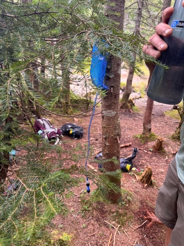
Thar she blows!
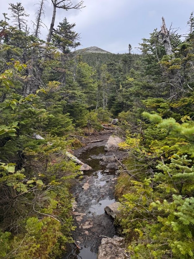
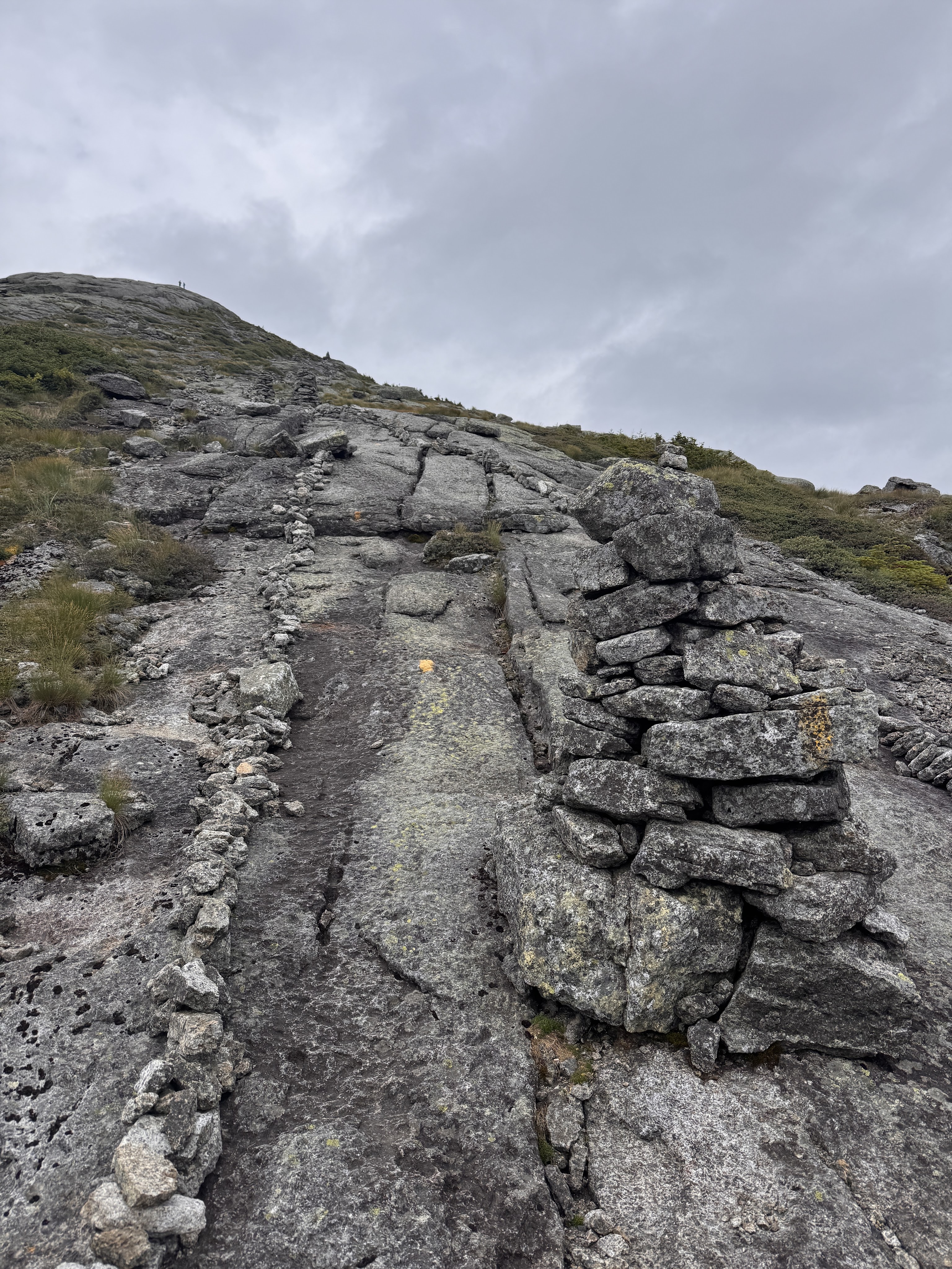
20 minutes later, at 2:07, we were standing at the rocky base looking up the steepest ascent to where my friends and family were waiting.
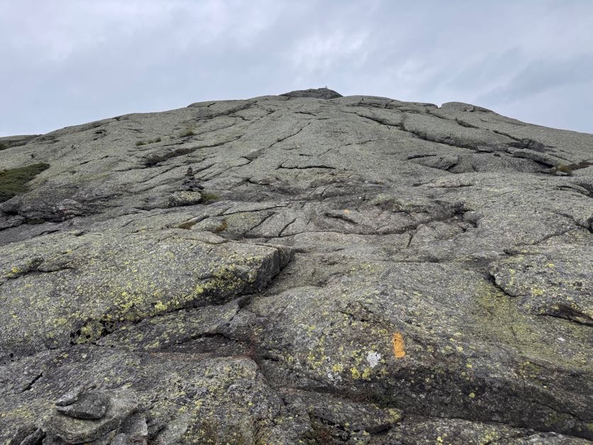
It. Was. BRUTAL. I remember looking at Gildo, hands on my hips in exhaustion, and just laughing and saying ‘Honey I’m so TIRED!’ as if it was an unreasonable thing to be at that time. We’d only been hiking for 6 hours and summited 2 other peaks, why would I be tired? He had the idea to just take 46 steps at a time, then rest, to break up the steeeeep ascent and be all symbolic at the same time. I know it was meant to be symbolic but actually that was the PERFECT number – each time I reached 46, I was at the point where I couldn’t take a single step more.
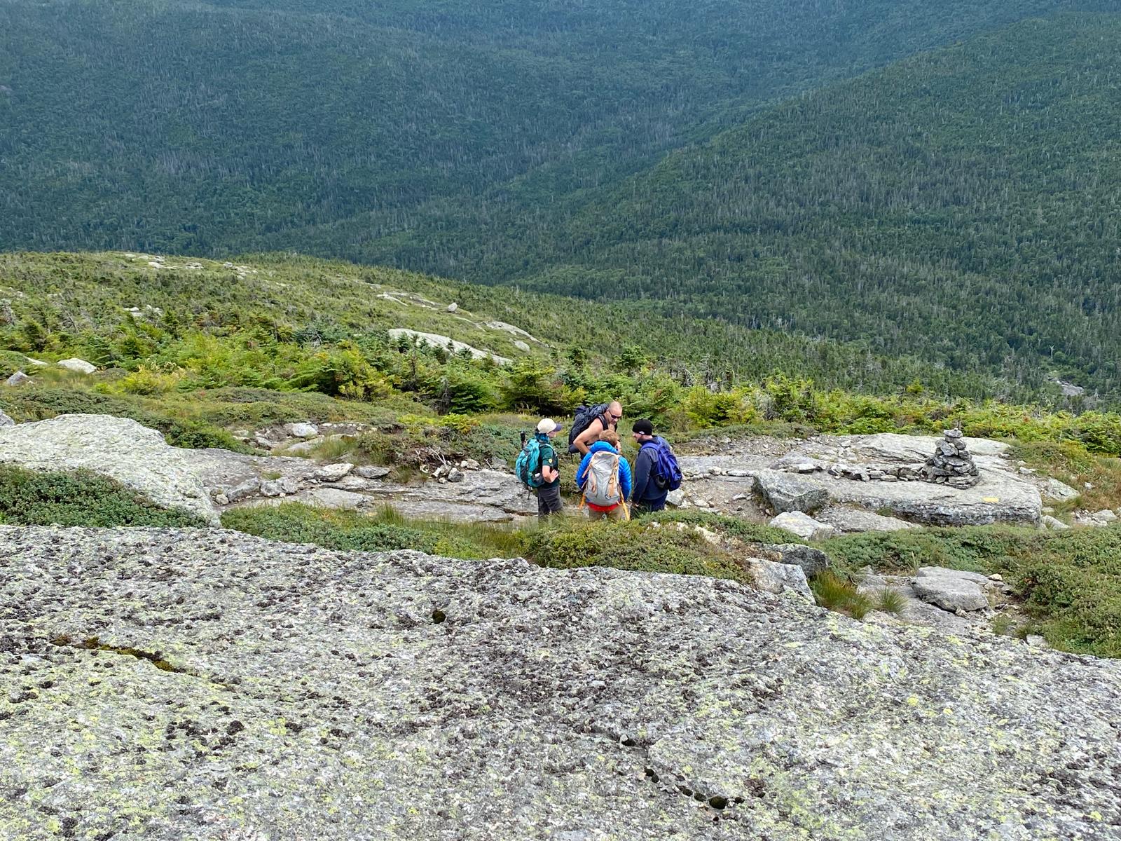
My friend Steve captured some of it on video – at least I don’t look to have been going as slow as I felt!

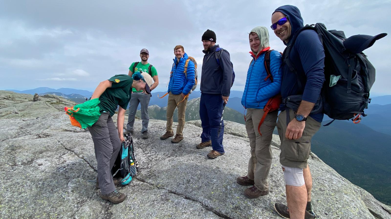
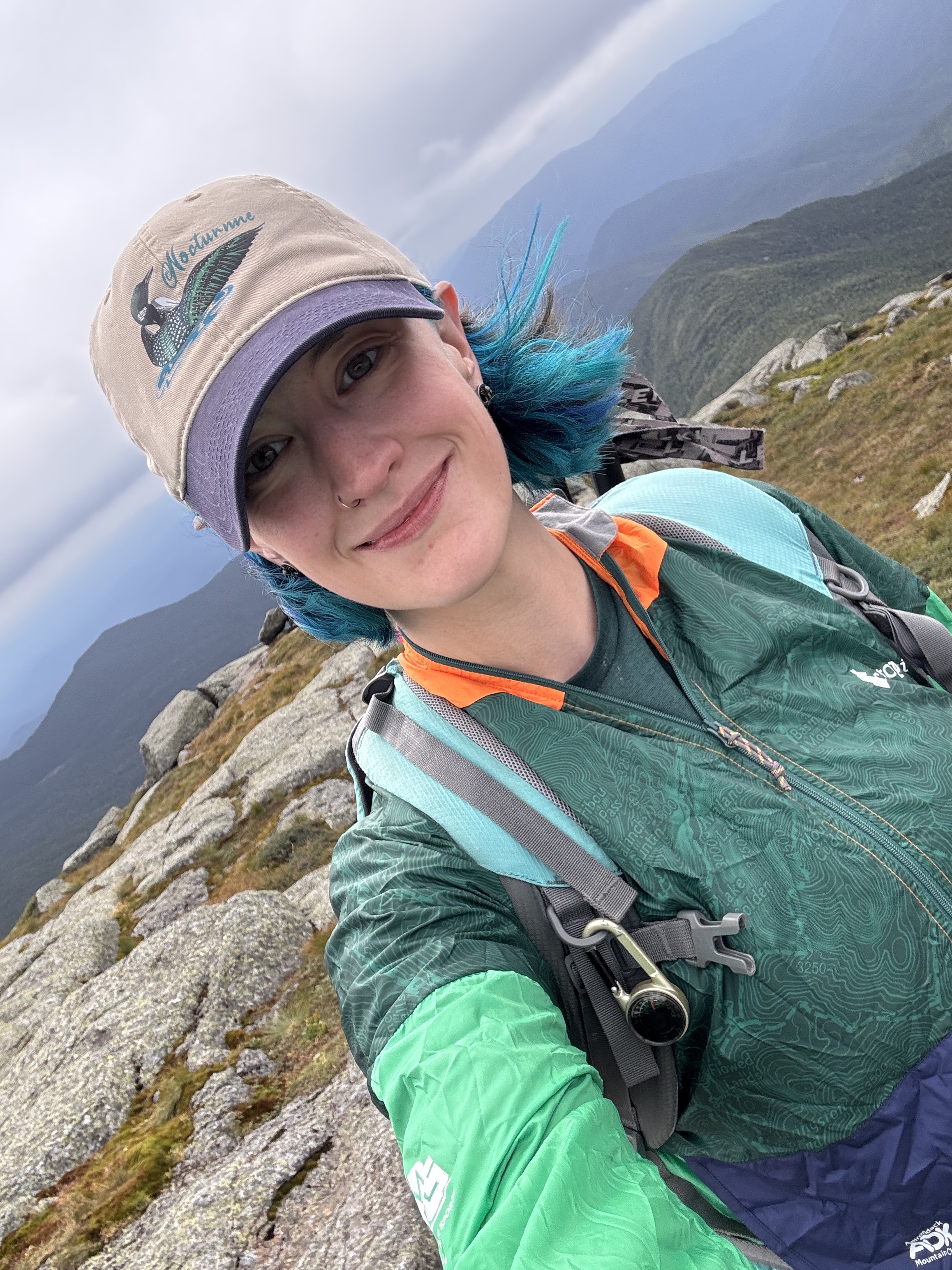
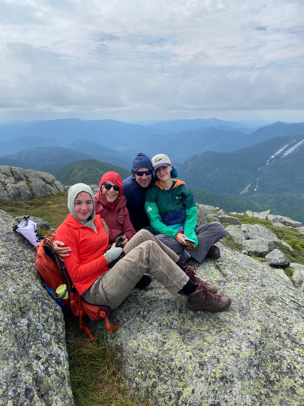
At 2:26pm on August 16, 2026, I stood on top of my 46th and final high peak in the Adirondacks – Marcy – surrounded by people I love.
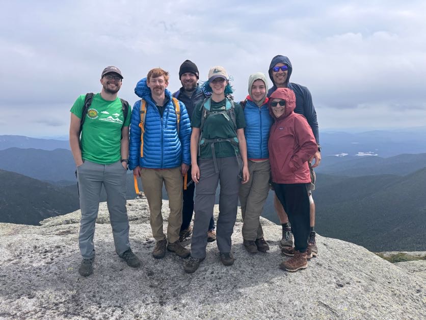
I’d really thought I might be a crying mess when I got there but I was so exhausted and so happy to see everyone that I don’t think I really processed how monumental this was and what I’d just accomplished!
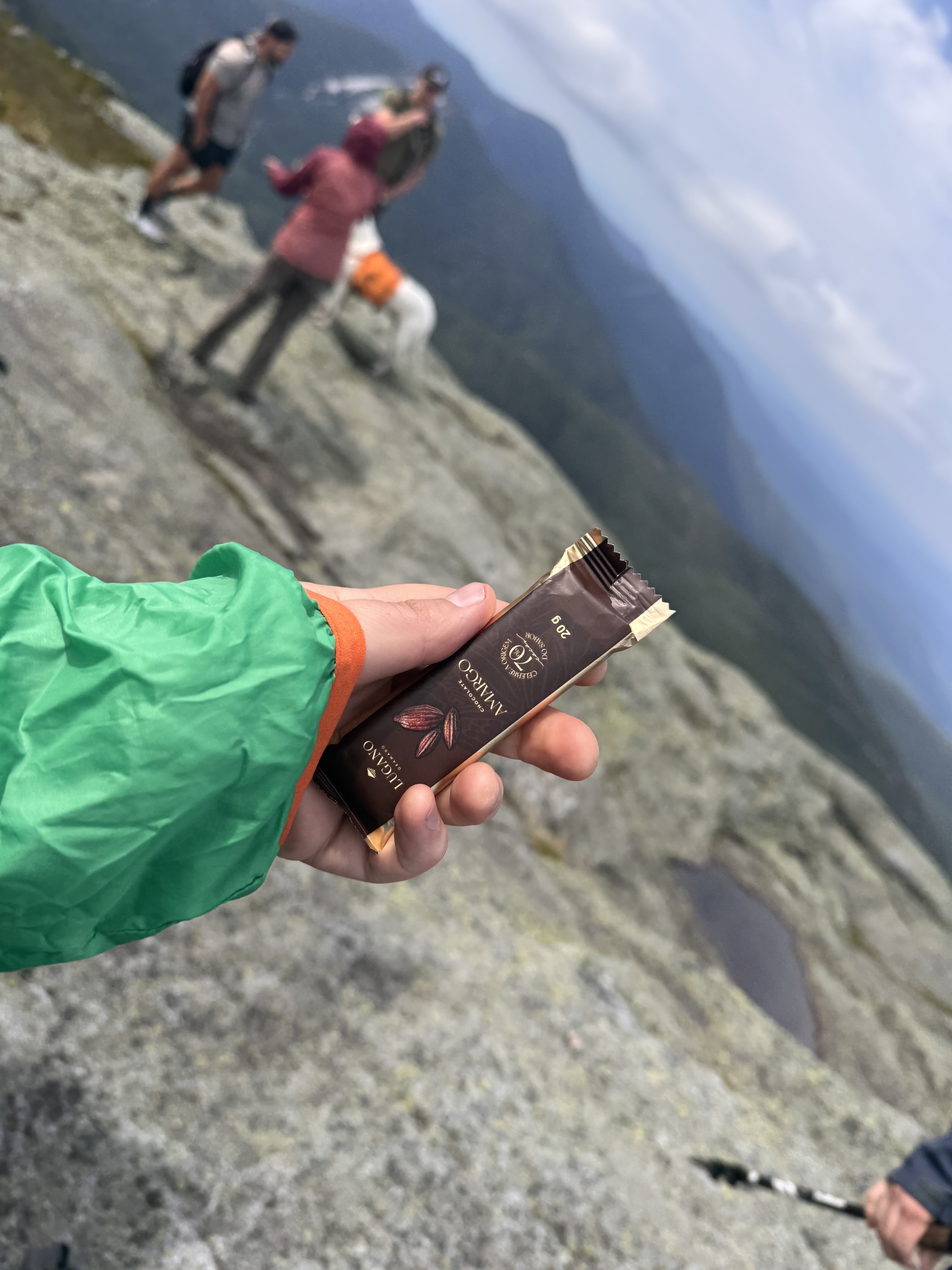
Victory chocolate was in order, of course.
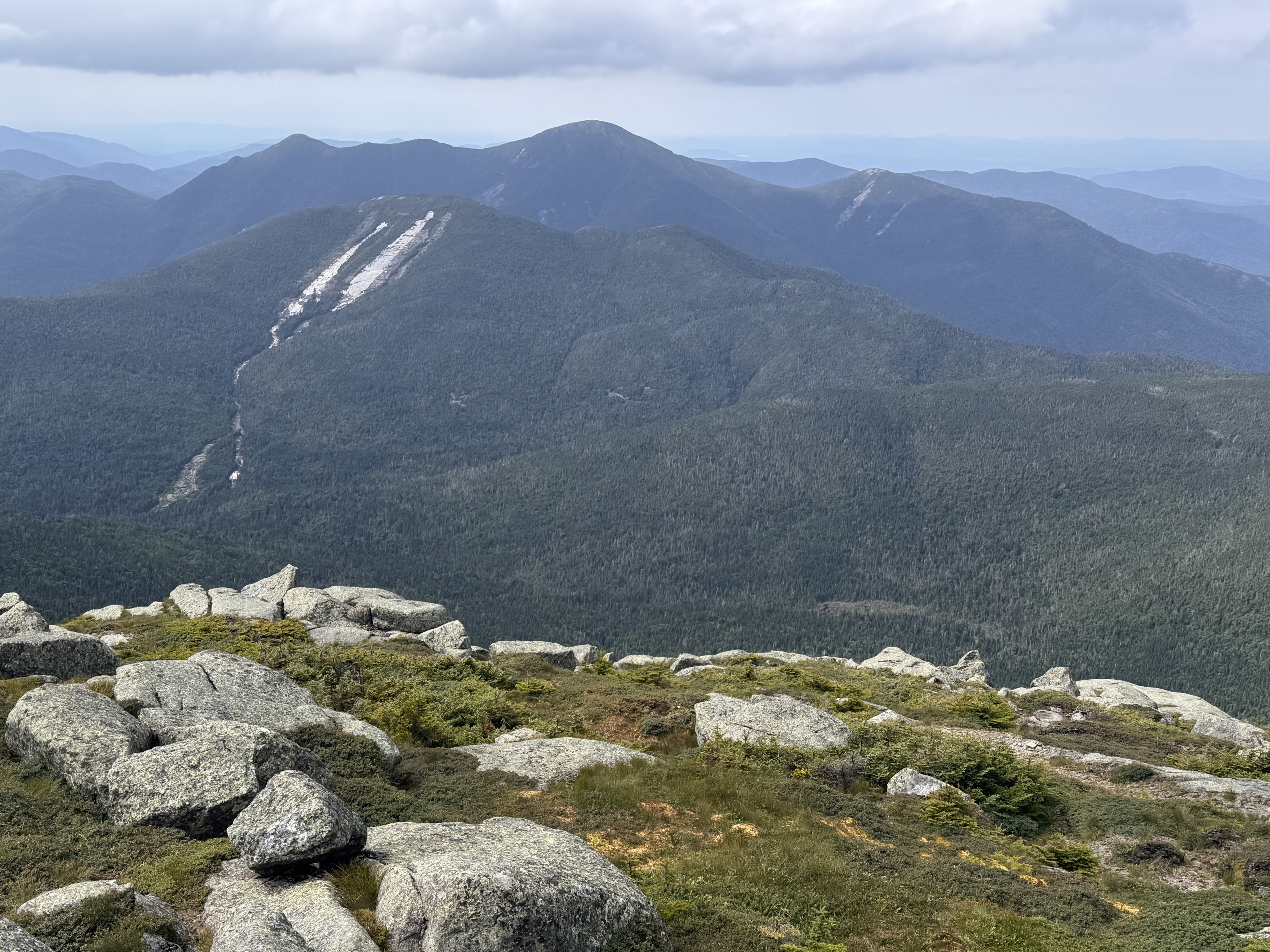
Looking towards Mt Colden and Algonquin, Iroquois, and Wright, below.
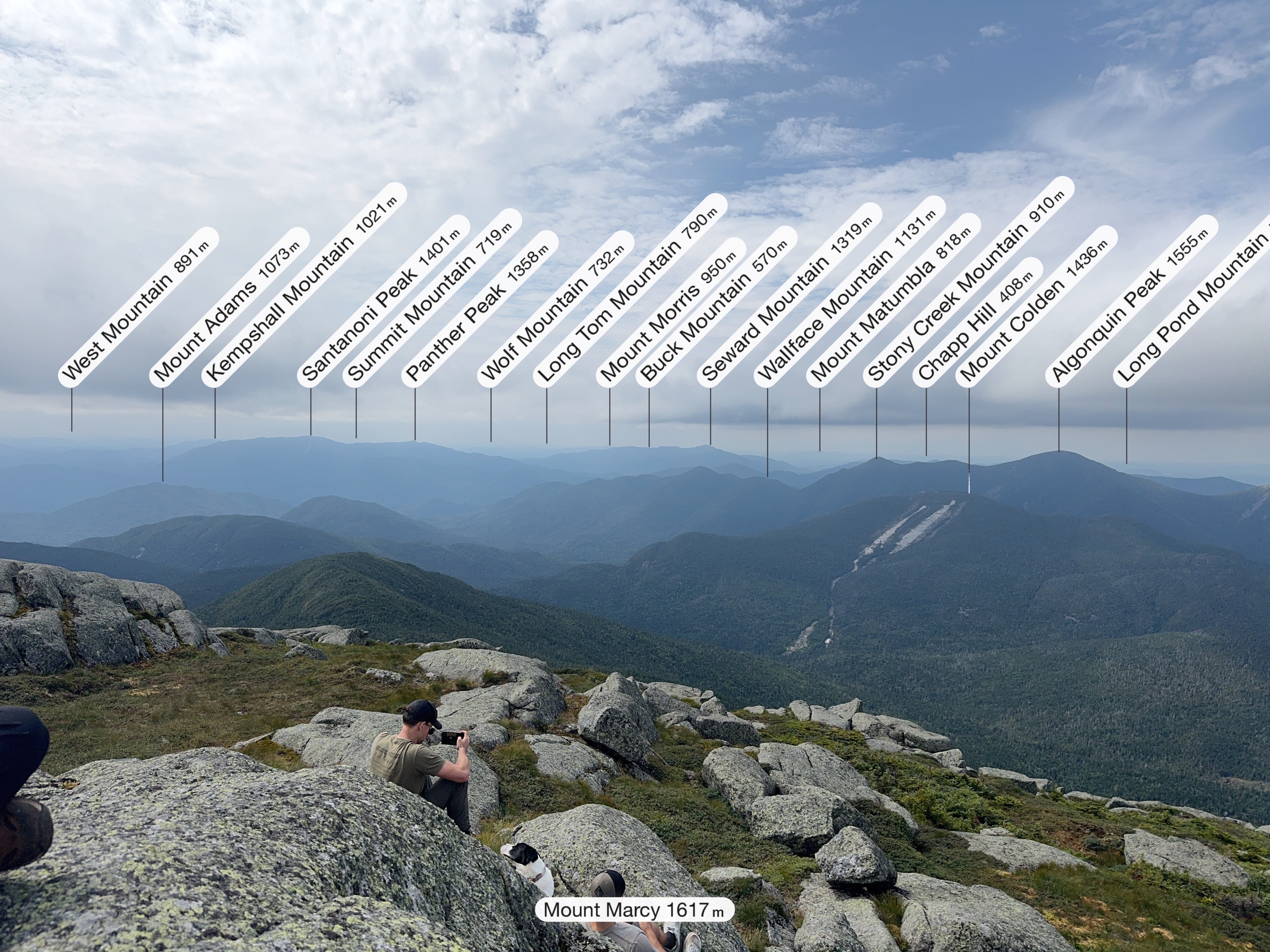
When I started this challenge 10 years ago, I was determined to do it alone. All of it. Along the way, my life became so much more full than I could have ever imagined. So having all of these friends and family celebrate at the summit with me is kind of symbolic of how my life has changed since those first few hikes. I wrote a song inspired by all of this called 46 Ways To Get Home. You can listen to it if you want while you finish reading! (And if you like it, here’s where to stream it: https://ffm.to/p9x0l9m)
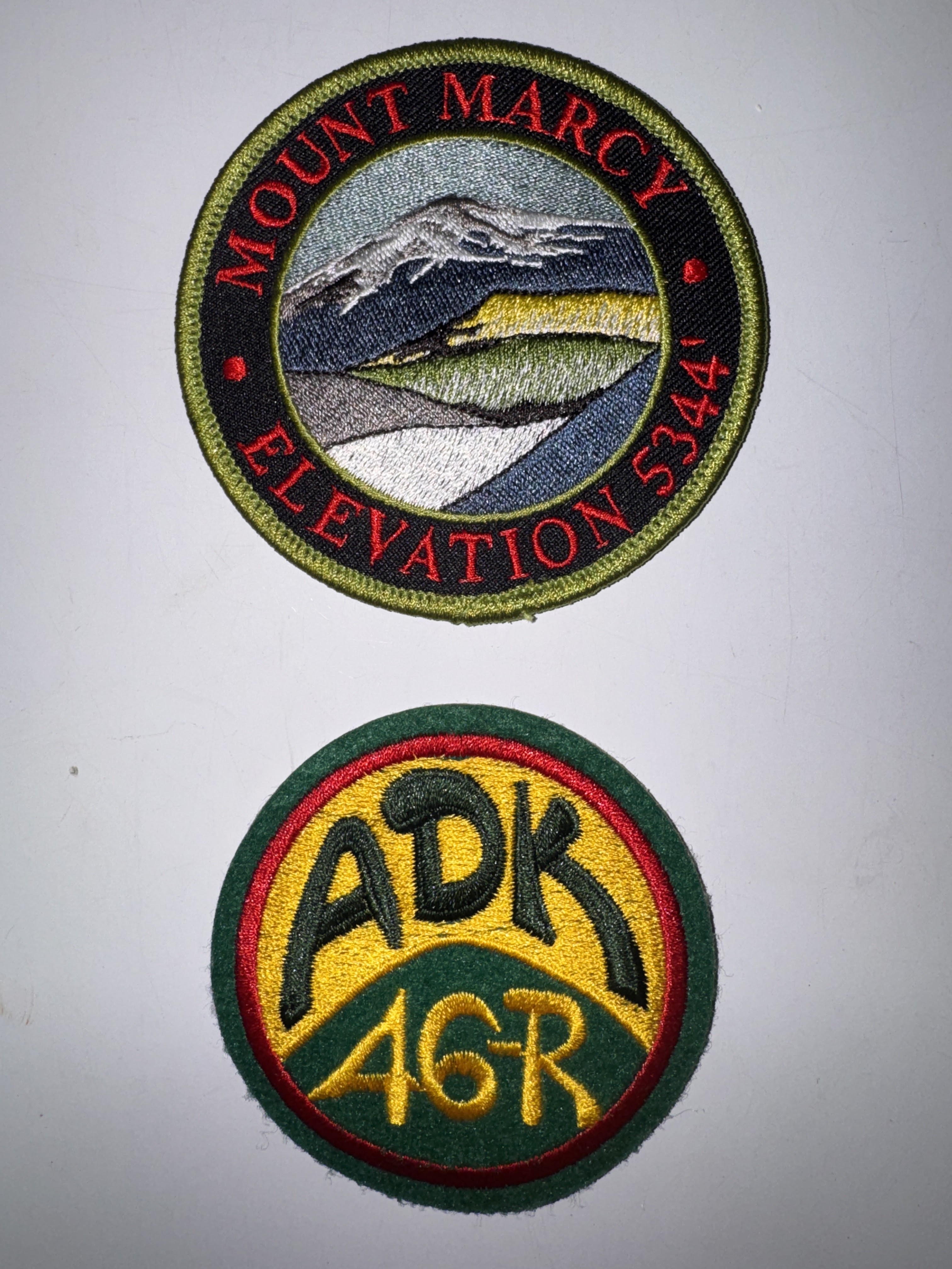
Several of my group are already 46rs, one of whom gifted me my very first ADK 46r patch AND a Mt Marcy patch!
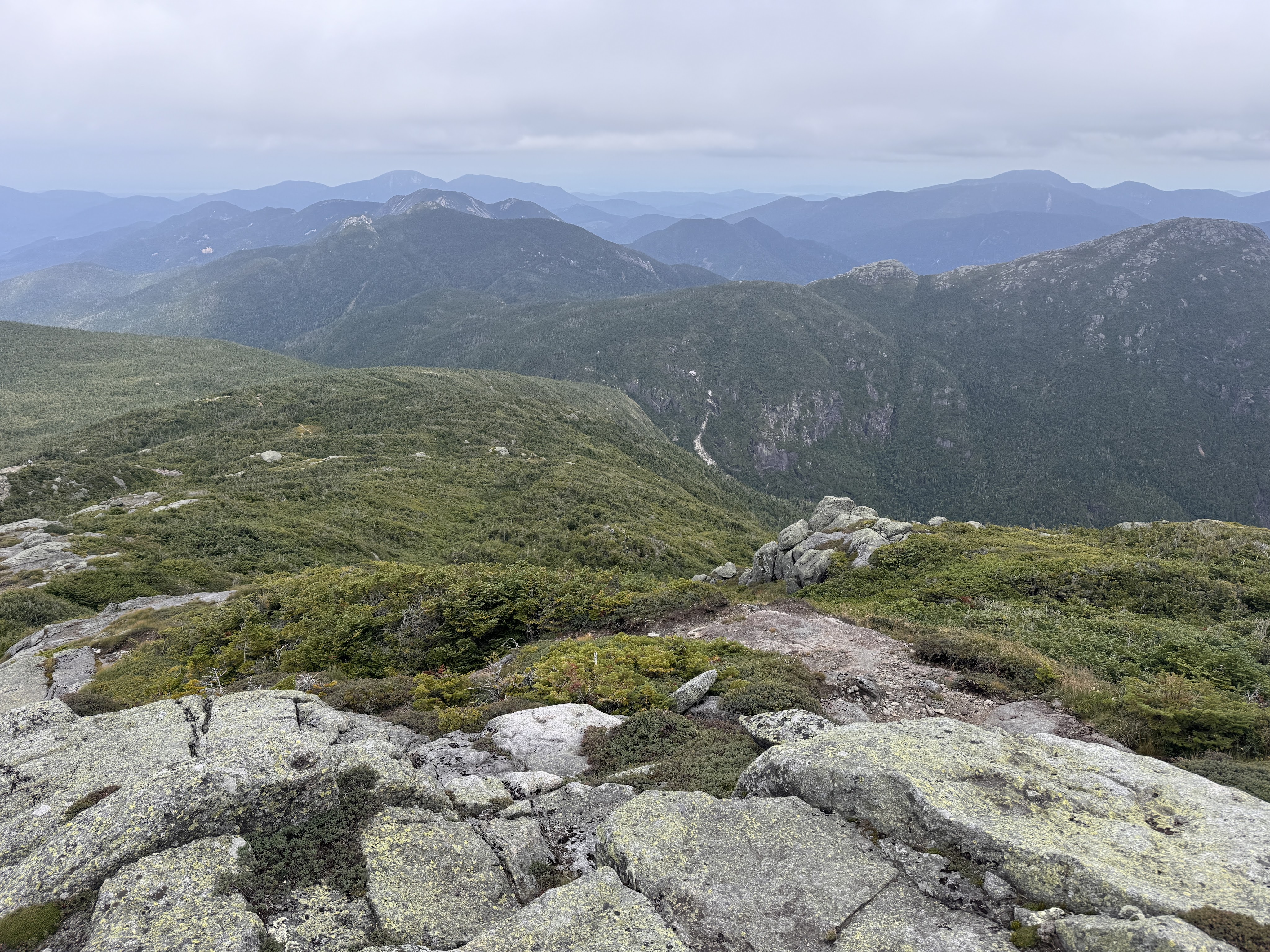
At 3pm, clouds were rolling in and we thought it best to start our descent. I wanted to stay up there forever, but I don’t think the summit steward would have appreciated that, so off we went, stopping first at a nice overlook of Panther Gorge.
We immediately lost the trail, distracted as we were by our conversations with one another, and had to climb back up a bit to find the blazes once again.
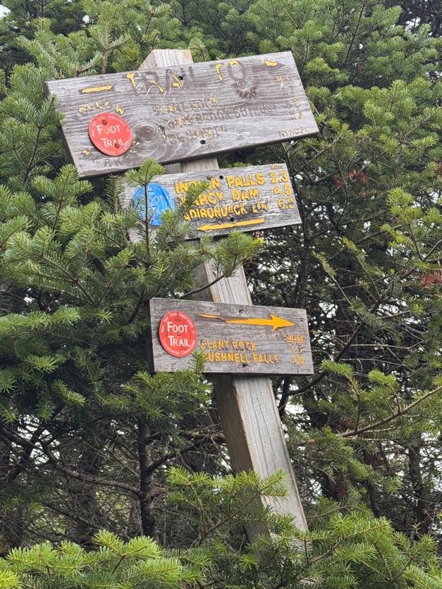
35 minutes later we reached this very confused sign with one arrow pointing to Slant Rock – 1.7 miles, and another to Slant Rock – 1.5 miles. We hung left to go back towards Marcy Dam.
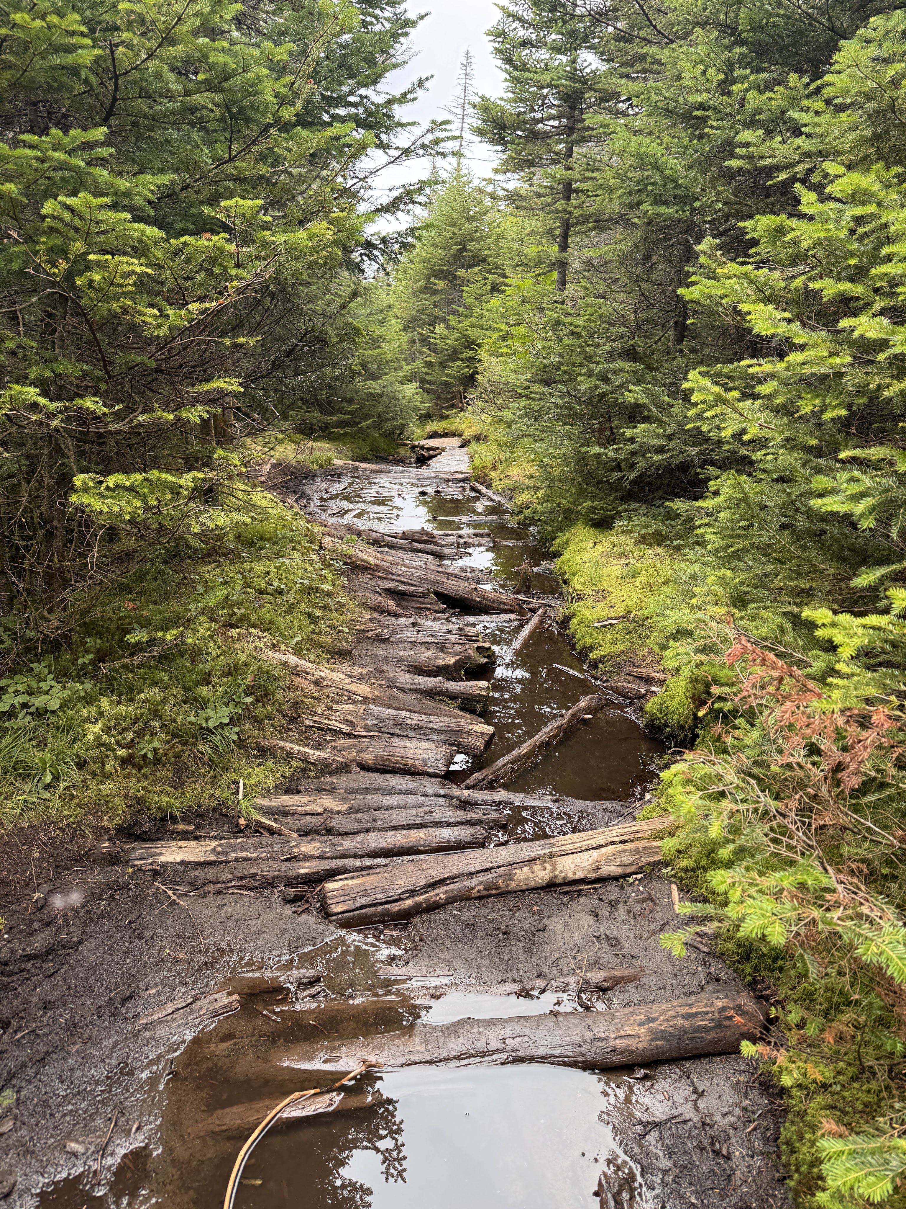
At about 4pm we encountered really the only muddy section on this side of Marcy. A walk in the park compared to the floating logs on the other side!
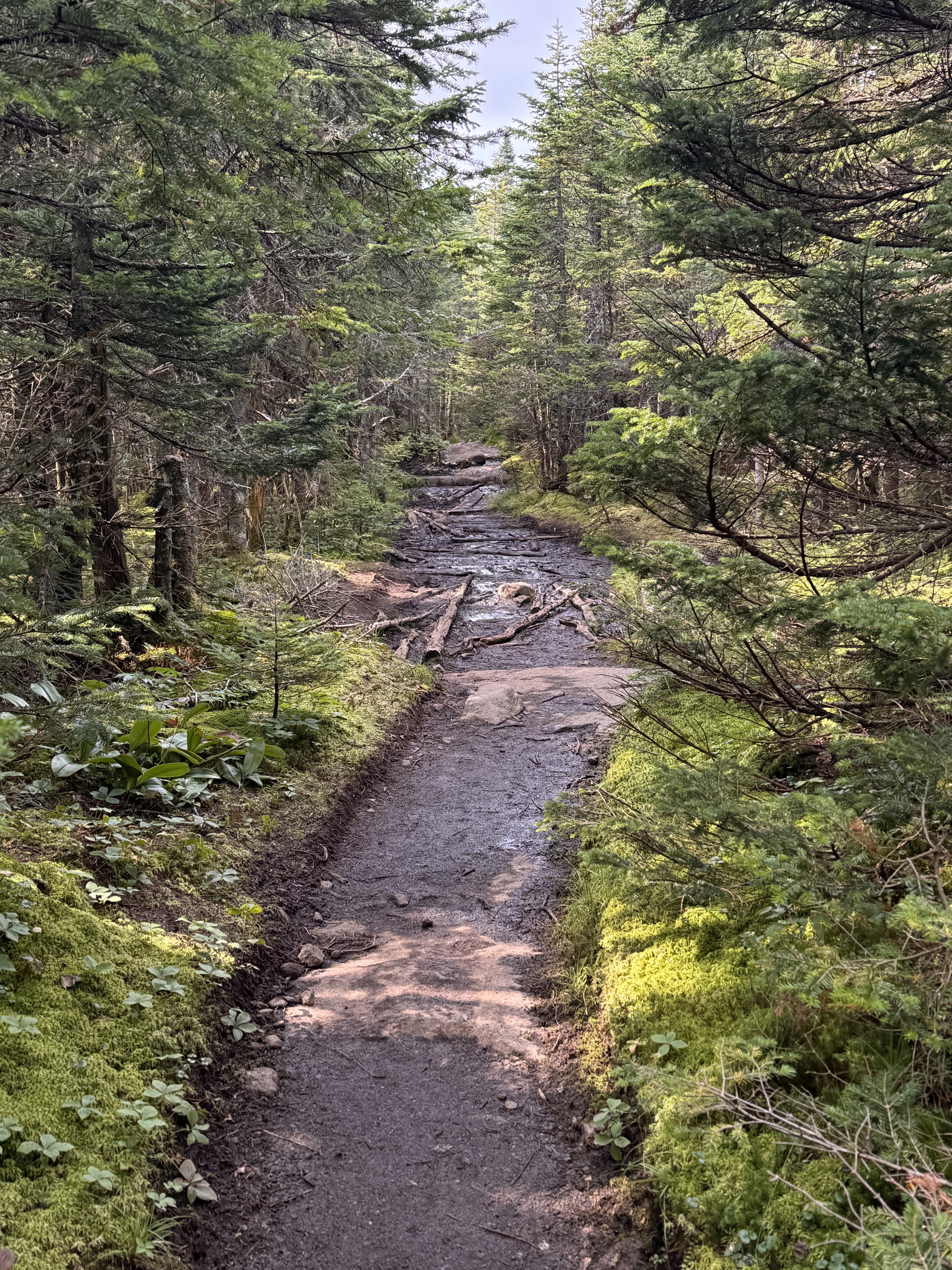
Once we were past the initial steep descent from the summit, the rest of the way down was a dream. Easy peasy. A welcome relief from the climb up the other side.
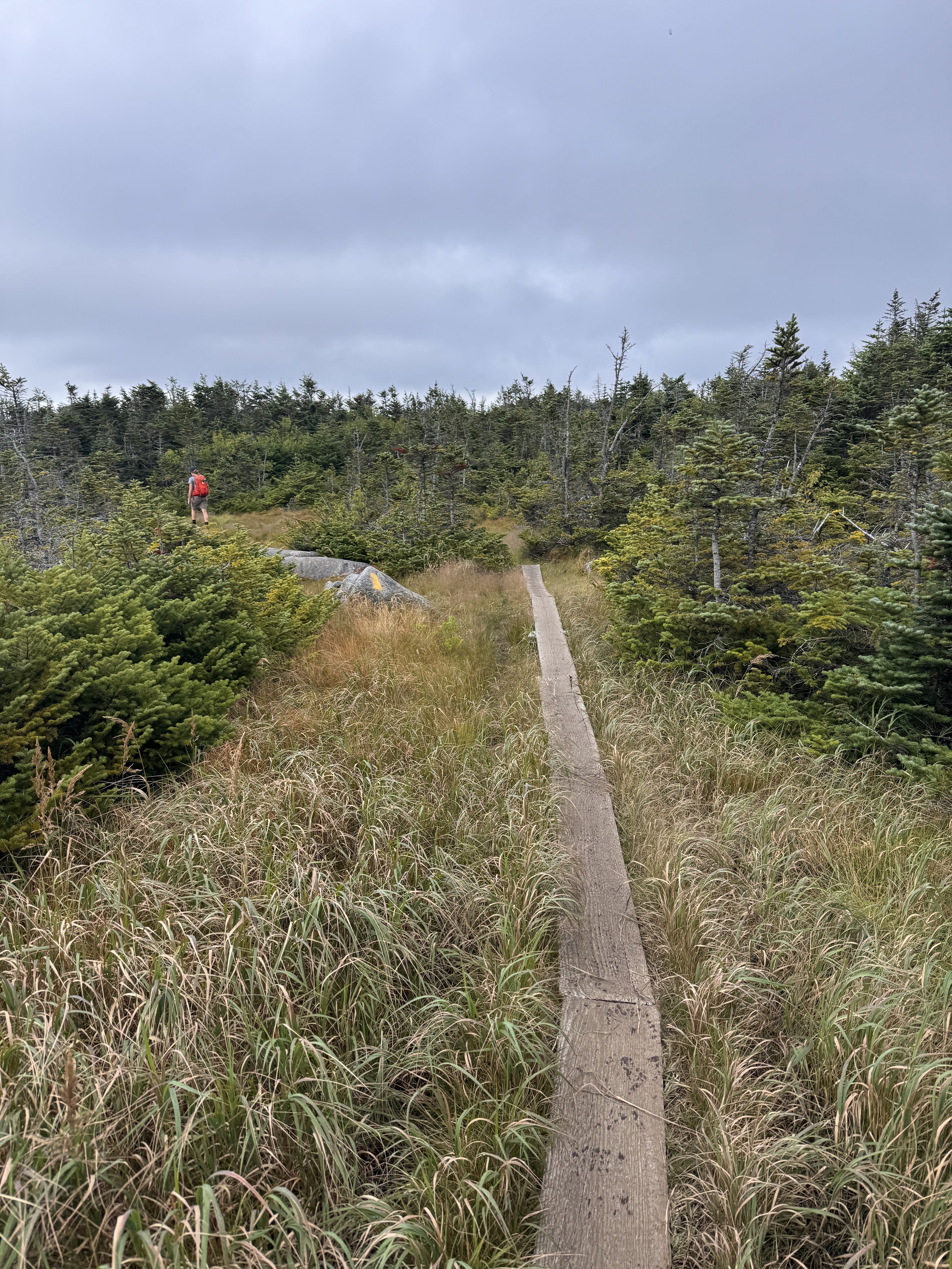
A toilet is spotted! Right around here, I also spotted two familiar faces coming up the trail – two more friends were making their way up to meet me!!
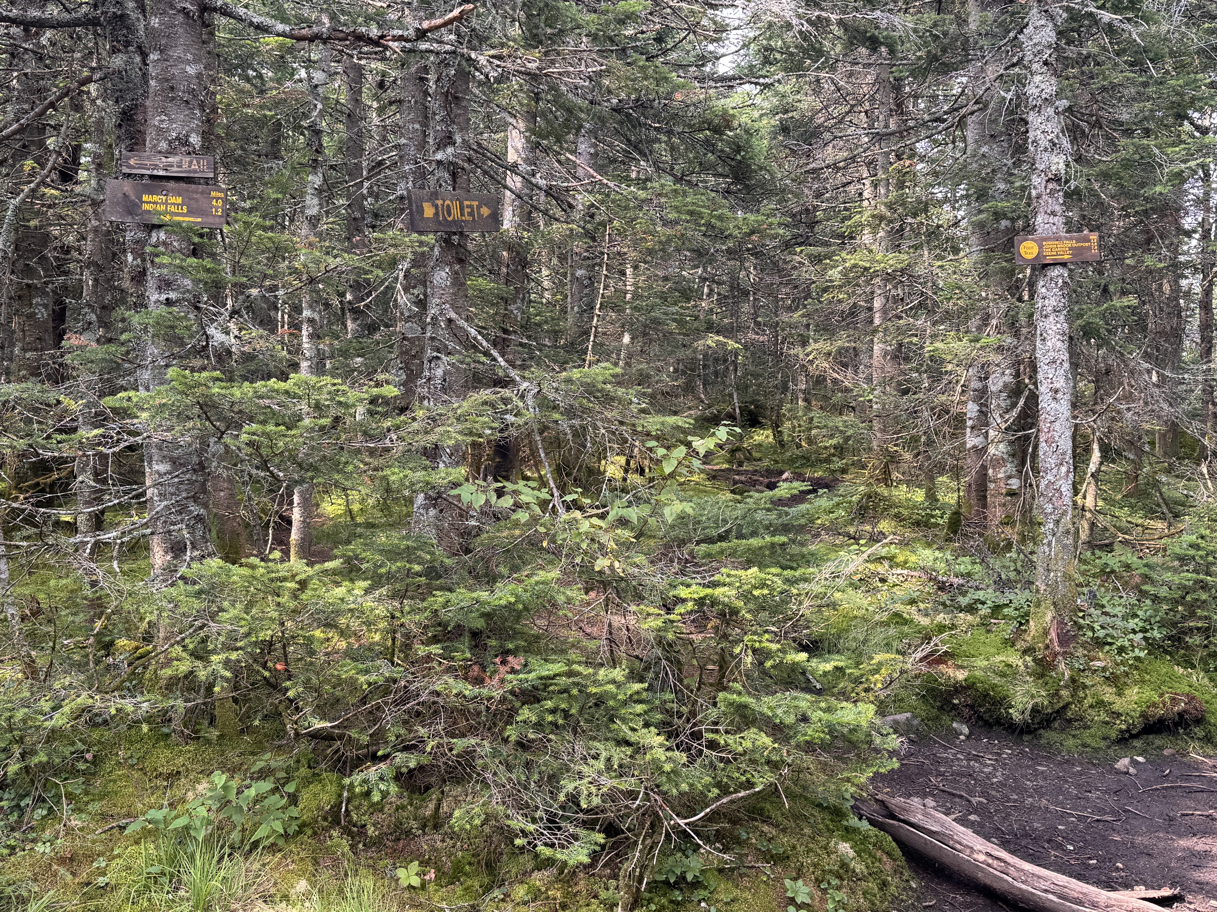
Having never hiked with a group before, I wasn’t sure how it would work coming back down all together. Not everyone knew each other, and we ended up naturally splitting into smaller groups as we went, chatting and sharing stories and catching up. It made me so happy to hear my friends becoming friends with each other on the way down.
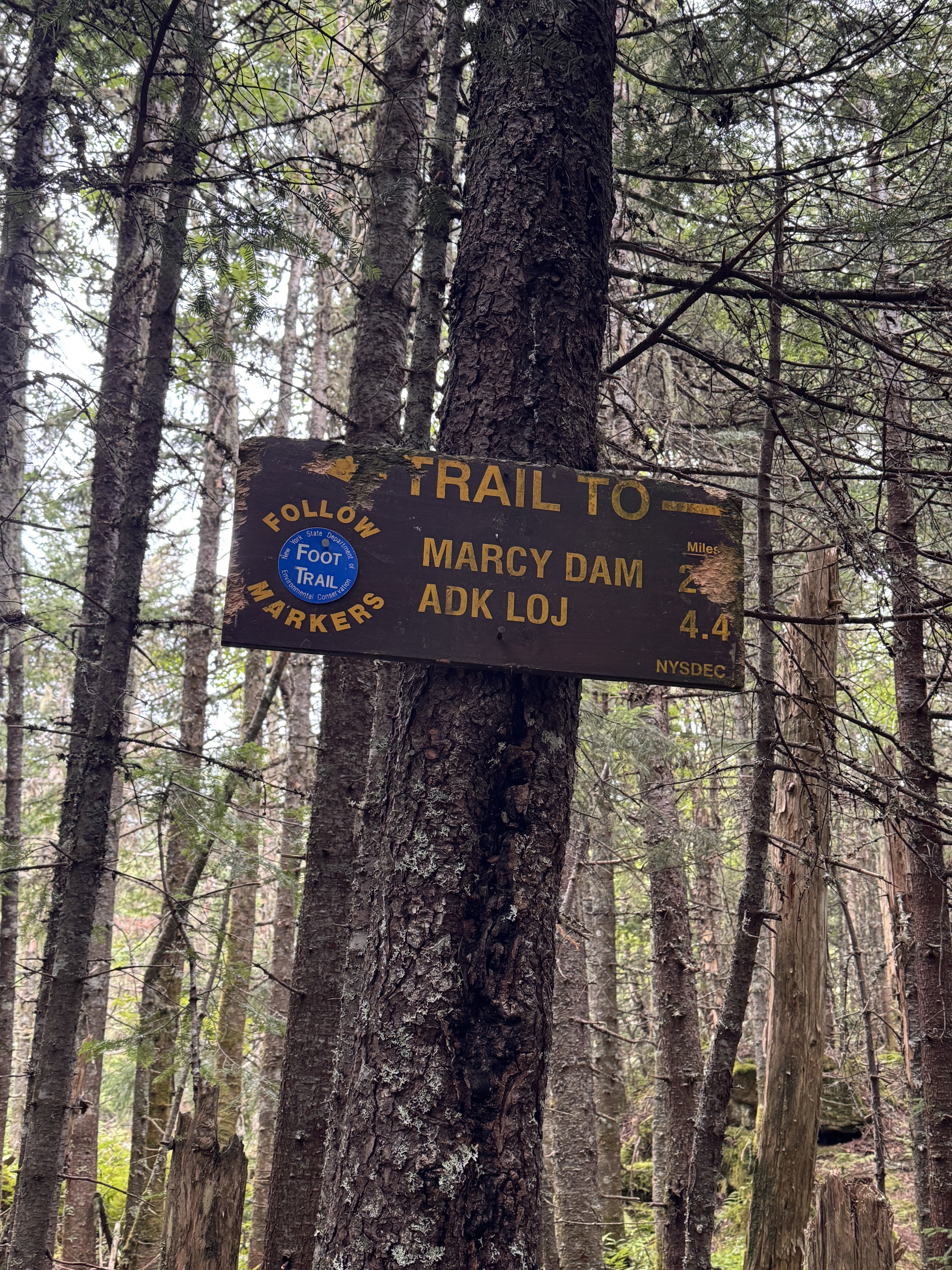
At 5:20, we took a break at Indian Falls to sit, rest our legs, and have some snacks. We lingered here for 15 minutes before pulling our packs back on and continuing on our way.
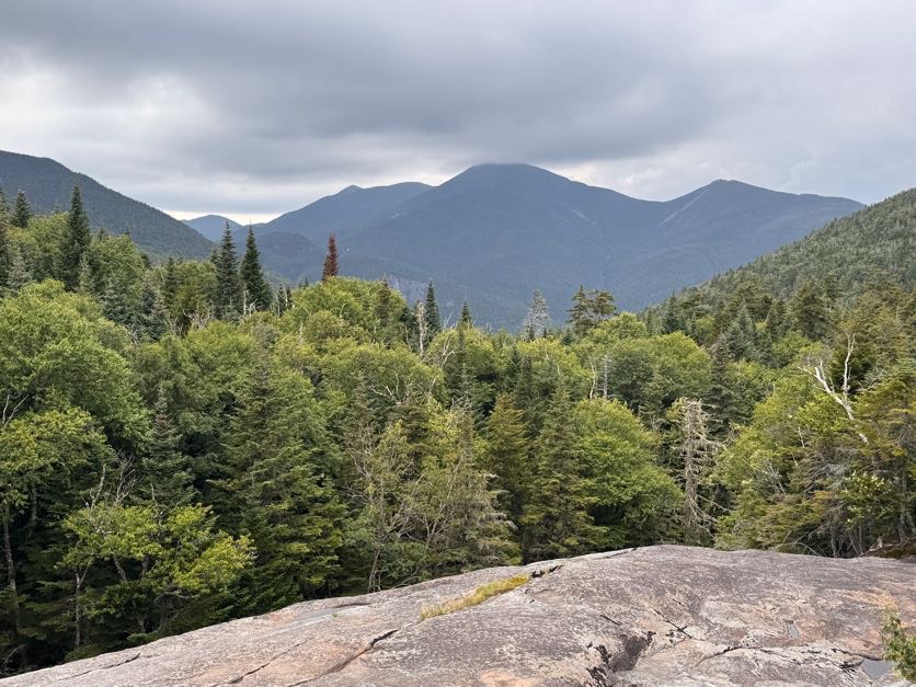
At 6:30 we reached the junction with Phelps mountain. Gavin and I recollected the time we had both independently set out to climb the same two mountains, crossing paths as I was descending Phelps and he was ascending. What are the odds?
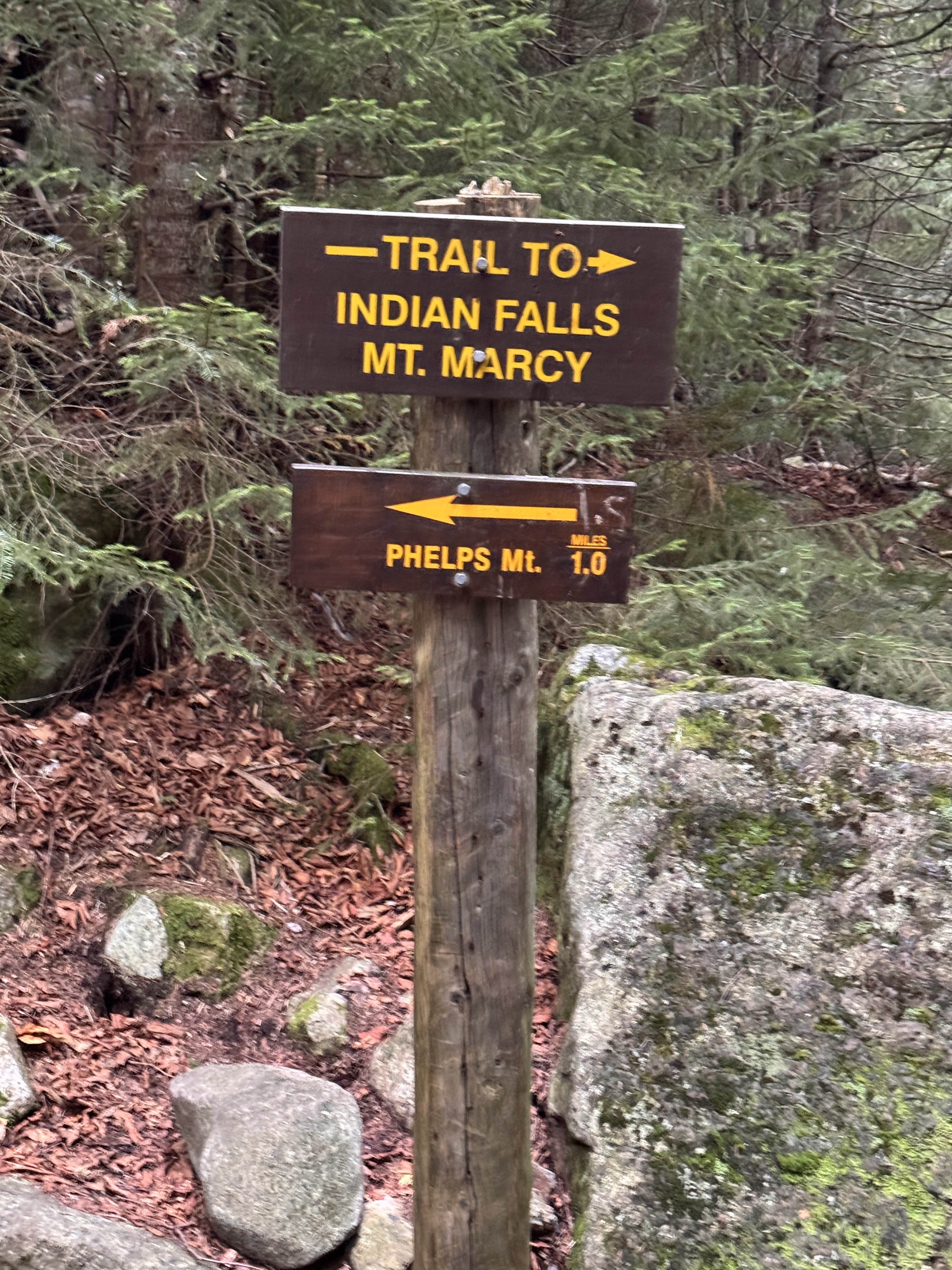
We stopped at a bridge here for a few minutes. By now the legs were jelly and prone to making mistakes, so I took advantage of every little break I could.
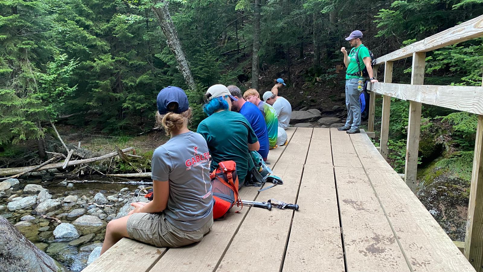
20 minutes later we were almost back to Marcy Dam.
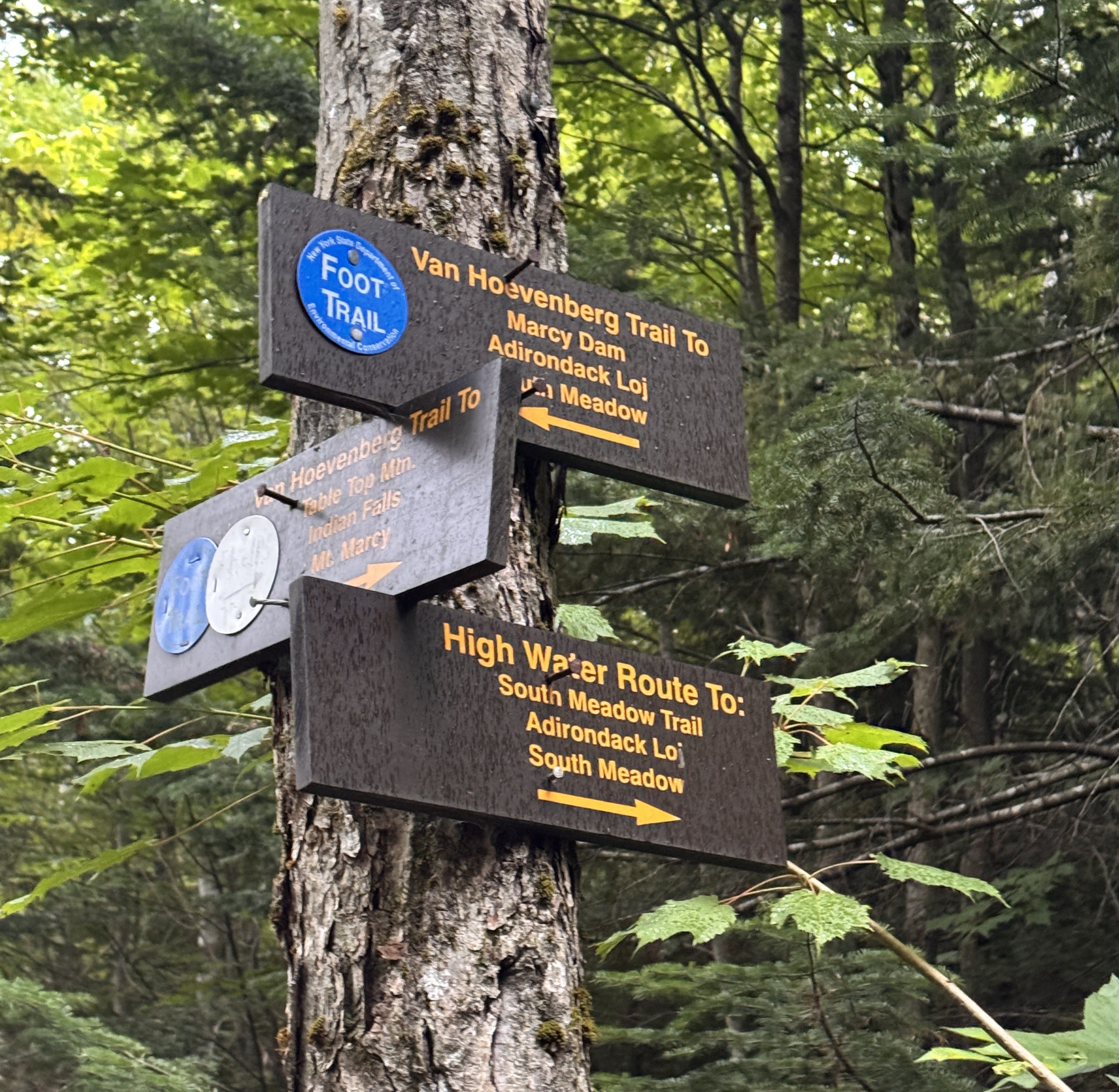
And crossed the bridge back across 10 minutes later. We relished in the light rain that began falling, a welcome rinse for our sweat-covered selves.
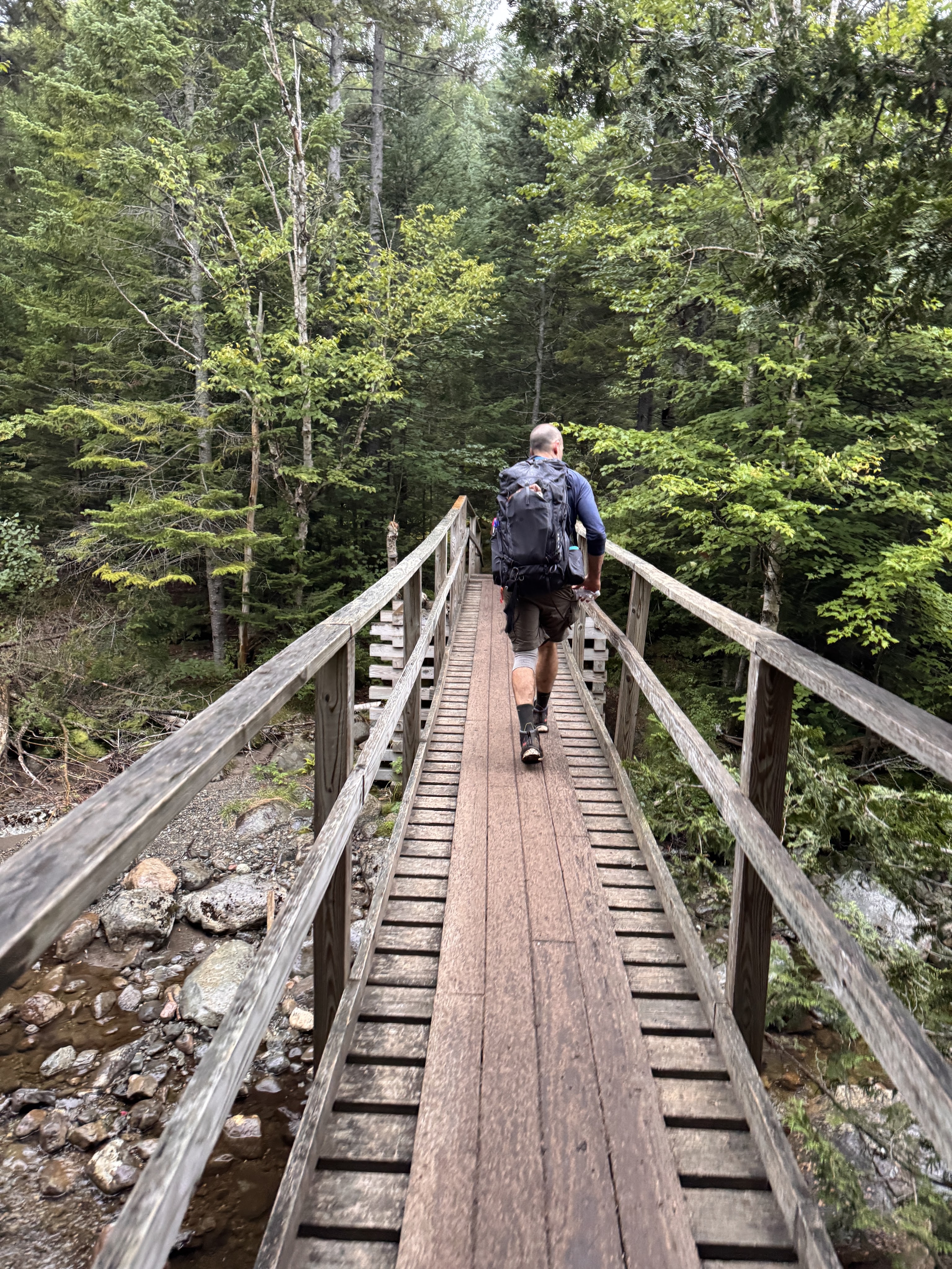
By now I think we were all struggling. I was in front of the pack for the most part, booking it, super ready to be done. I wasn’t feeling chatty by now, just so exhausted and hurting. At some point I noticed it had gone pretty quiet behind me too, so I turned to see where everyone had gone – but they were right behind me, just too tired to chat.
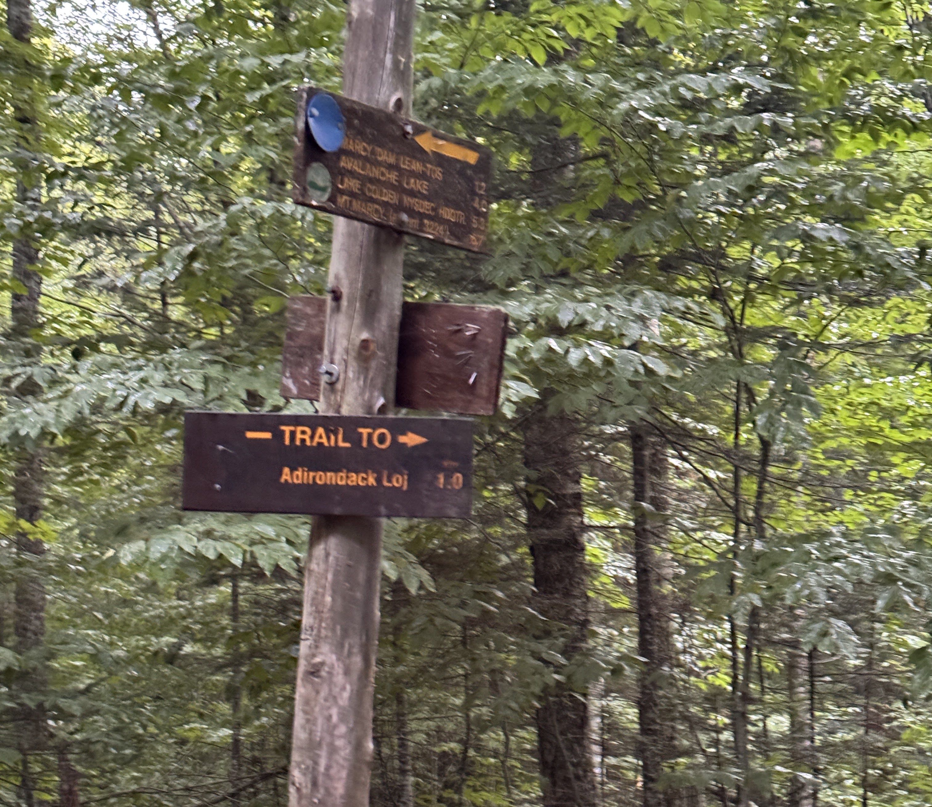
At 7:50pm, we reached the last register and signed out. We survived!! And check out this beauty from my fall earlier in the day.
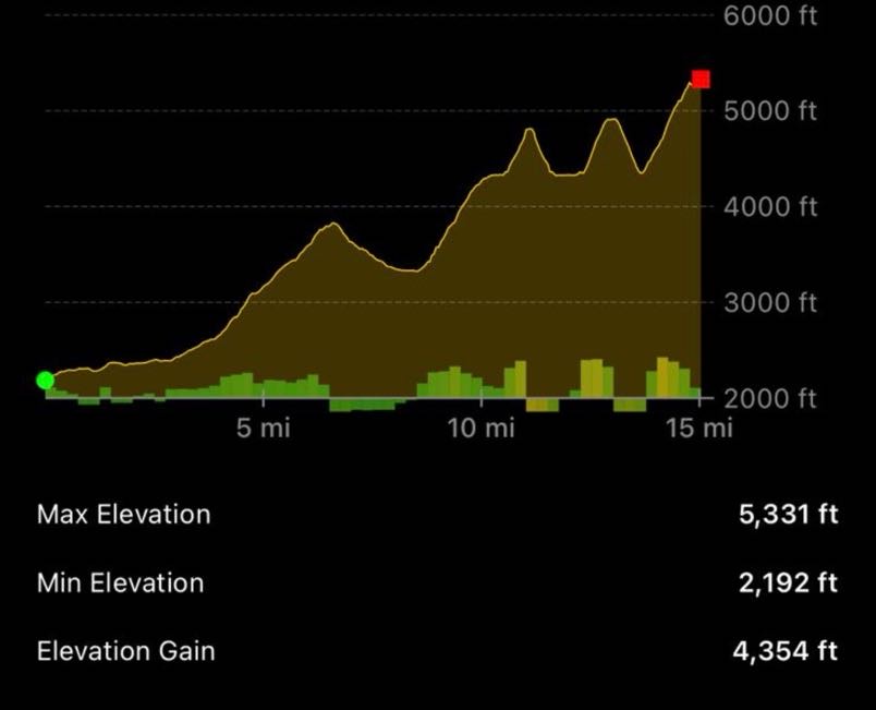
Disregard the distance in this image; but the elevation is super interesting and looks pretty accurate! How cool is that.
Well, I guess that’s it! I’m definitely not done hiking in the Adirondacks, but I can now say this chapter of my life pursuing the 46 high peaks has come to an end. It’s bittersweet for sure – but I’m so proud of myself for pushing through endless hurdles and I’m so grateful to my support network of friends and family for standing beside me. Thank you for being a part of this journey with me, I hope it inspires you to go on one of your own! Happy hiking ❤

ADK 46er number: 17306

Mount Marcy: 5343′ Elevation Gain: 5140′

Total duration: ~14 hours

Total distance: ~18 miles

All images are property of adktrailtalesandtails and may only be used with express permission.

Macomb (21) + South Dix (37) + Grace (42) + Hough(23)

5/29/2022

Memorial day weekend. Weather was nice and the snow and ice were finally gone from the peaks, so I decided it’s now or never. I knew there was no chance I’d get a parking spot with having to drive 3 hours from home to get to the trailhead at Elk Lake, so instead I drove up Saturday and made it to the primary lot at 10pm. I’m glad I did, because there were only 3 open spots in that lot when I arrived. Presumably the lot was full of campers’ cars. The next closest parking area is 2 miles down the road, which is for sure where I would have ended up had I not gone the night before! I set up in the back of the car and had a fitful nights sleep listening to the sounds of the loons on nearby Elk Lake.

My route would ideally cover the whole Dix Range, starting with Macomb (1, in blue, below), then to South Dix aka Carson (2, in purple), then to East Dix aka Grace (3, in green), back up South Dix, over to Hough (4, in yellow), and finally to Dix (5, in red), then down the Beckhorn trail. I knew it was unlikely that I would manage to do the whole range successfully in a day, so I also planned an “emergency exit” down Lillian Brook (in white) in case I had to bail. At minimum I absolutely wanted to meet Grace, and not orphan it out, so that was my goal.

At 4:00am my alarm went off and I promptly ignored it. I decided it’d be a good idea to let another hiker go first down the trail to scare off any bears, so I closed my eyes for another few minutes while the first hikers showed up. Eventually I didn’t have any excuses not to get started anymore, as by 4:45am I signed myself in at the trailhead and started along the path.

I trod along the path with my headlamp for just 5 minutes before deeming it unnecessary, and within 15 minutes the sun had lit the trail, the forest was alive with the sounds of the birds, and I was already ready to shed my outer layer despite the brisk temperature.

The path started off smooth but rocky and I made quick progress without much effort along the first 2.3 miles of trail.

At 5:40am I reached a nice bridge over a stream with a beautiful little waterfall, and I knew I must be getting close to the campsites and thus the junction to go up the Macomb Slide.

The trail got a little muddy here and there but nothing unmanageable, especially given the recent rain. Until now I hadn’t seen a single person on the trail.

There were several small stream crossings with VERY helpful ‘bridges’ to get across them, but I didn’t mind the challenge even though it wasn’t even 6am yet!

Just a minute after crossing the last stream, I saw the signs indicating campsite, and a cairn marking the start of the herd path up to Macomb. You can see above the camping sign on the right is a yellow marker with “Macomb ->” written on it.

I turned right at the cairn and walked…..straight into a campsite, with some folks up preparing their coffee and breakfast. I looked around and couldn’t help but feel that I was just utterly barging in on their camping, until a nice man pointed me towards the really quite obvious pair of cairns marking the start of the herd path. Time / distance from trailhead: 1h15m / 2.3 miles.

This path started off quite pleasantly. I enjoyed the sounds of the stream nearby and the trillium flowers dotting the forest floor.

After 30 minutes, I decided to stop on a nice log above the stream to have some breakfast, and take a selfie of myself while I still looked clean and presentable :D. While I sat there, 2 different pairs of hikers passed me by on their way up.

For a so-called “trailless”, unmaintained peak, this path was really not in bad shape at all. It wasn’t particularly muddy, not particularly narrow, and not particularly steep. Not bad at all for a Sunday stroll!

At about 7:00am I got my first glimpse of Macomb, and the notorious slide that I’d be climbing up. Check it out below, by the purple arrow.

On the map, you can tell exactly where the slide begins because the map shows an absolutely straight section leading up the mountain. Before that, the trail deviates from the stream for 1/4 – 1/2 of a mile, so I knew I was getting close when I couldn’t hear the sounds of Slide Brook anymore.

A bit more of climbing and within 10 minutes I was standing at the base of an impressive, long, scrambly, rocky slide with tiny little dots of people skittering up the slope.


A cairn and a rusted iron…thing mark the opening to the trail I’d just come from for those brave enough to come down the slide. This slide is the product of a hurricane in September of 1999, and has now become the main route of Macomb mountain.

Looking back from the slide was a real treat with stunning views of Elk Lake. I stood there for a minute wondering if there are any amazing little campsites on those islands in the lake before continuing up.

The slide is LONG. The first photo doesn’t do it justice, unless you zoom in to see the tiny little dots near the top and realize those are people. Let’s just say….I would NOT want to come down this slide. Though I bet it’d be a quick trip down, given that I’d most certainly just be tumbling my way from the top. The earth here consists of loose rock and sandy dirt, and almost nothing is stable. I tried to look for patches of dirt, because even though my feet sink into it and it moves a bit like sand on a beach, I had more confidence in the dirt than in the rocks. I mostly stayed towards the left side of the slide, until close to the top where the stone becomes flat and dark, and slick from the rain. When I got to this point I stayed to the right. A tip for climbing this slide with friends – give a good amount of space between you and the person in front of you! I dislodged more than a few rocks while I was climbing that could have whacked someone if they’d been behind me!

At the very top of the slide, you have two options – go left or go right. Both paths take you to the same place, though the Left one is the more popular of the two. I turned back just before leaving the slide for one last look at the views.


Things got interesting when I left the slide. The path left leads you almost immediately to a very large boulder / cliff. So here’s the thing. There is a CLEAR AND OBVIOUS PATH AROUND TO THE LEFT OF THE BOULDER. Did I take it? Nooooooo. Why? I don’t knooooooow.

So here I am, literally going straight up the side of this boulder cliff, wondering how I got here, but I was already committed so I just kept on moving my way up and towards the right. Ugh. Don’t do what I did, folks. Just go around the dang thing.

All three paths then converged at the top of the boulder – the path from the left that normal people take, the path from the right that adventurous people take, and the path from the boulder that idiots take. From here it’s hard to tell on the map how close I was to the summit, but I was sure I was almost there.

Sure enough, less than 15 minutes later I was standing at the top of Macomb Mountain!


A nice lady offered to take a photo of me after I took some of her and her family, and I happily obliged. Friends….Look at me 🤣🤣🤣🤣🤣 Oh how the tables had turned since I’d had breakfast almost 2 hours earlier! Lookin gooooood! Anywaaay, I had made it here at 8:15am, 3.5h and roughly 4.5 miles from the trailhead.

I took a 5 minute break, stretched my legs, and took the obligatory picture with the summit sign, and set off toward South Dix (aka Carson) promptly.

On the map, it looks like the distance to South Dix from Macomb is maybe 1 mile. I always dread the downhill (and uphill, if we’re being honest with ourselves) on these trailless peaks because it’s usually a pretty brutal vertical descent (I’m looking at you, Couch). However the path down from Macomb wasn’t bad at all! I don’t recall any tricky or technical sections that I had to navigate, just a bit of mud here and there, which is completely expected in the ADKs.

If you look at the map, there is what looks to be a shortcut going from below the summit of South Dix over to Lillian Brook, intersecting when the trail down Lillian Brook has passed all of the steepest sections already. So when I passed this little cairn on the left on my way toward S Dix, I assumed that’s what it was. (Note that I did NOT see the other end of this trail when I was on Lillian Brook later in the day).

Just before 9am, 30 minutes since leaving Macomb, I arrived at the base of some rocky business and looked around for an obvious way up it. There was none, so I approached this like a choose-your-own-adventure game. There were some cairns sporadically scattered about but they weren’t particularly helpful to me.

I reached the top to find a handful of people milling about near a boulder seated on top. We talked for a minute to get our bearings and figure out where exactly we were. What we were standing on was the false summit to Dix, but a glorious false summit it was. The actual summit is in the trees, so I took a few minutes to enjoy the scenery while everyone else continued on.

Looking back to the summit of Macomb


The peak all the way on the right is Hough, while the sharp one to the left of Hough is the Beckhorn. Dix itself is hidden by the Beckhorn from this angle.

From my Peakfinder app – always making me feel so clever when people ask what mountains we’re looking at

I headed back to the trail at 9:15am, passed by the junction with a small cairn marking the way to Hough, and 10 minutes later I was standing on the true summit of South Dix, which is marked by a little yellow disk.

If you continue just past the summit there is a nice outcropping to the right for some views. I’d had my fill at the false summit though and continued straight down the path towards my next target: Grace (aka East Dix).

Yet again I was pleased to discover the gentleness of this path leading to Grace. This one descended very gradually, given that it is essentially on the ridge straight to Grace from S Dix. It wasn’t overgrown at all; a bit muddy in some places but nothing unmanageable.

I was a bit surprised however by how long it was taking me to get to the next mountain. I’d expected another 30 minute jaunt but for some reason it felt much longer than that. After 20 or 30 minutes of descent, a man came from the opposite direction and we chatted a bit. It’s nice to meet other solo hikers on the trail when you’re out there alone! He let me know that I only had another 20 minutes to go, and asked me if HE only had another 10 to go. I replied that I really had no idea because I’m agonizingly slow on the trail, and felt like I’d been descending for an hour 🤣 How helpful I am!

Sure enough, the trail did eventually start to climb up….

Until I popped out onto the bare rock of the summit, 45 minutes after leaving S Dix. (I swear it felt like hours though).


I climbed onto the rock that is officially the summit, though there’s no indicator of it being so besides being a high rock, and took some shots of the mountains I’ve come from, and those I’ve yet to do. And I’ve got to say…..Dix looks like it’s a hundred miles away. It might as well be across an ocean. It’s true that they’re never as far away as they look, but at this point in my hike I had a decision to make. I’d been having a growing pain in my left hip flexor and in my left elbow, making it impossible for me to put any weight on my elbow and making it very very difficult to lift my left leg to climb, which was troublesome because literally half of the hike is climbing up. I know these pains are of course coming from my Ehlers Danlos Syndrome and my brittle, stretchy collagen, but still it’s so frustrating to not be able to do anything about it. I’d worn my knee braces in the hopes that my knees would be OK, and so far they were, but I just wasn’t sure if I’d be able to make it up any more mountains. I decided to head back to S Dix before making any final decisions however.


I stayed on the stunning summit of Grace for 45 minutes, enjoying conversation with other hikers and some much-needed snacks, before heading back to S Dix. This time, it seemed like time flew by and 45 minutes later I was back on the summit at 11:50am. I passed by the summit and reached the junction to Hough a minute later.

I decided at this point that I had to head this way regardless of whether I could make it up Hough or not, since Lillian Brook was in the same direction and that was my emergency exit. I was super thrilled to have made it up Grace, but at the same time Hough was right there and it would be really painful to have to just wave at it as I descended Lillian Brook.

After a bit of descent, again very gentle and surprisingly easy, the path began weaving it’s way uphill again. This little mountain between S Dix and Hough is unofficially dubbed “Pough”, pronounced like “Puff”, as in, “you’ll Huff and Puff your way up these mountains”. I reached this summit only 20 minutes after leaving the junction on S Dix, at 12:10pm.

As I stood atop Pough, and looked to my right…..My God. There is Hough. Ahhhhh why is it so far away! I decided in that moment that I probably couldn’t make it up to the summit, and definitely wouldn’t be making it to the summit of Dix, so I continued down the trail to descend Pough.

20 minutes later I was standing at the junction to Lillian Brook, feeling very torn. The summit to Hough was sooooo close, but my hip was really in immense pain, and I couldn’t even help it along with my poles because my left elbow was out of commission as well. I couldn’t help but laugh a little because of all of the things I was worried about hurting on this day, these were none of them. Lately my lower back, right SI joint, right elbow, and neck had all been giving me problems. I was especially concerned before my hike that the weight of the backpack would not be ideal for these reasons. And yet….all of those things were absolutely fine! At the end, I thought, what the hell. I’m already planning on having to come back for Dix, and probably coming from rt 73 to do so, and I reallllllllllly don’t want to have to climb up and over Dix, down and up to Hough, then back down and up over Dix and back down to 73. Just….no. So instead I gave myself a little pep talk and passed by the cairn to Lillian Brook to go up up and up.

Some mud was present as always, but also this luscious green mossy stuff on either side that looked like it was straight out of a fairy tale.

The climb up was expectedly very difficult, slow, and painful for me. I had to stop a few times to sit and stretch on a rock while questioning my life choices. I finally mustered up the strength to continue on up, and before I knew it I was at this notorious cool rock ledge that leads to a sort of false summit on Hough. If you have the energy (and ideally, functioning hip flexors and elbows) you can climb right up the side of this, but I chose to go around.

I had to sneak through this cool gap in the rocks, up some more rocky ledges, and I found myself at the false summit of Hough with some pretty fantastic views – no shortage of those in this range!


I could see the true summit from here and didn’t linger. (See the peak on the right in the photo below).

45 minutes after leaving the junction with Lillian Brook, I was standing on the summit of Hough, taking a selfie with it’s little yellow disk!

Ah was I ever happy to have made the decision to come up here! I was feeling so proud of myself, and on top of that I’d had the most perfect weather imaginable. Though for anyone feeling concerned about the black flies this time of year, don’t worry! They are alive and well and ready to welcome you into the mountains 🤣 Fortunately though I’d treated my shirt and hat with permethrin at the start of the season, so I just lowered the bug net contained within my hat when I wanted some peace on the summits.


So here I am. Imagine you are me, standing on the summit from which the photo below is taken, and looking to the right to see….the Beckhorn, approximately 96 miles away. There was no debate this time, just an absolutely nope from me on making it up to Dix today, and I was ok with that. Not only was it not exactly close, but you have to go allllllllll the way down just to go alllllll the way back up. Nope nope nope. I don’t hate myself that much.


Visibility was just spectacular. I could see all the way to the Green Mountains in Vermont with ease.

I’m not sure what time I left to go back down. I was really not concerned with timing at this point, having given up on Dix for the day. I calculated the distance I’d have to go to get back to the trailhead at between 6 and 7 miles, and was hoping I could make it there by 6pm.

I reached the junction back at Lillian Brook at 2:20pm. I was again nervous that the trail would be very rugged. I could see on the map though that it would be clearly steep for the first 1/2 mile or so, and it should be pleasant walking after that. So off I went.

And yes, the path was a bit steep at the top, but it was also BEAUTIFUL.

Unfortunately, before too long, a familiar pain began in my right knee, and my stomach dropped. Of all the pains I get with EDS, there has only been one so far that I absolutely cannot handle – the knee pain that happens when my outer quad muscles get too tight from climbing and pull my patellas off track during the descent. And it was happening, despite wearing my magical braces that had always worked to prevent the pain until now. I presumed it was happening because my right leg bore the bulk of my weight during the climb up every mountain except Macomb since my right hip was hurting so much. So the quad must have gotten extra tight. I steeled myself for the pain, and moved at a snail’s pace to baby that knee and keep the pain minimal for as long as possible. Which wasn’t easy when the trail was steep, wet, and full of rocks, but I managed.

Did I mention that this trail is BEAUTIFUL? Despite the pain, I was in heaven here. The colors, the sounds, the smells….I felt like I was home.

I knew when I reached the Lillian Brook that the steepest part was over, judging from the map, and I had a much easier time navigating while trying not to bend my right knee too much on the smoother, flatter ground.

The upside of going so dang slow is that you have lots (and I mean LOTS) of time to observe things around you, like….

MR SLUG YOU ARE VERY LARGE

I didn’t want to dawdle because I was already moving pretty slowly, but at some point I couldn’t resist sitting by the stream and pouring some fresh, cold water over my face. I swear I felt a half-inch of grime wash away from my skin.

*** Sound ON ***

Along the way down this trail, I kept hearing things that I thought were people talking far away. Sometimes it was the brook babbling away, sometimes it was a particularly large fly buzzing around, so when I was rockhopping and yet again thought I heard people talking, I dismissed it. Until I looked up and saw two women that I’d run into a few times earlier in the day. They asked “Are you coming down Lillian Brook?” I said, “I am! Are you on the real trail??”, they said “we are!” and I rejoiced to be back in the land of maintained trails with trail markers at 4:15pm! Do note that the trail up Lillian brook is not easy to spot from the main trail in. If you’re coming from the Slide Brook leanto though, you’ll cross one small stream only before coming to a larger wider stream, which is basically the start of the Lillian Brook Trail.

30 minutes later, I’d gone the 1.3 miles from Lillian Brook to the Slide Brook Lean-to and campsites. Only 2.3 more miles to go.

The ground here was blessedly flat. Unfortunately though, by this time my feet were feeling every tiny pebble, stick, bug under my boots if I was stepping on anything not dirt. It was so achy that I started purposely going through mud even if there were rocks to hop across because the mud felt great! I was grateful however that my technique of babying my right knee and going soooo slooooow had paid off, because it really wasn’t bothering me on the flat section. I did stop at the bridge after Slide Brook to sit and rest a bit. Then I thought I could lie on my back and rest a bit. Then I thought, maybe I could just close my eyes a bit? After a few minutes I thought this was a good way to accidentally camp on the trail overnight, so I hauled my aching self to my feet and carried on.

That said….This portion of trail, after 12 hours of hiking in the incredibly stunning but exhausting Dix range, was just. so. BORING. I eventually resorted to counting my steps – not as a mental escape from the pain as I’d done previously in other treks but just for something to DO.

Imagine how pleased I was when, 1,900 steps later, I reached the trailhead….EXACTLY AT 6pm! Which was my goal time I’d calculated up on Hough!

I hopped in the car and took a solid 20 minutes just trying to wrestle my knee braces off, then started the 3 hour drive home. 29 down, 17 to go. Happy hiking!

Macomb Mountain: 4,405′, elevation gain: 2,400′

South Dix: 4,060′, elevation gain: +260′

East Dix: 4,012′, elevation gain: +350′ (+400′ back to South Dix)

Hough Peak: 4,400′, elevation gain: +630′

Total Duration: 13 hours 15 minutes (including maybe ~2h mulling around the summits)

Total Distance: ~14 miles

All images are property of adktrailtalesandtails and may only be used with express permission.