7/25/26
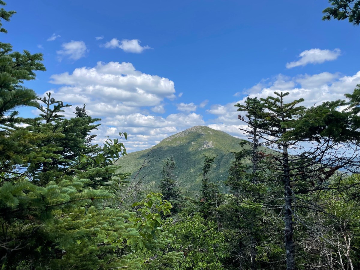
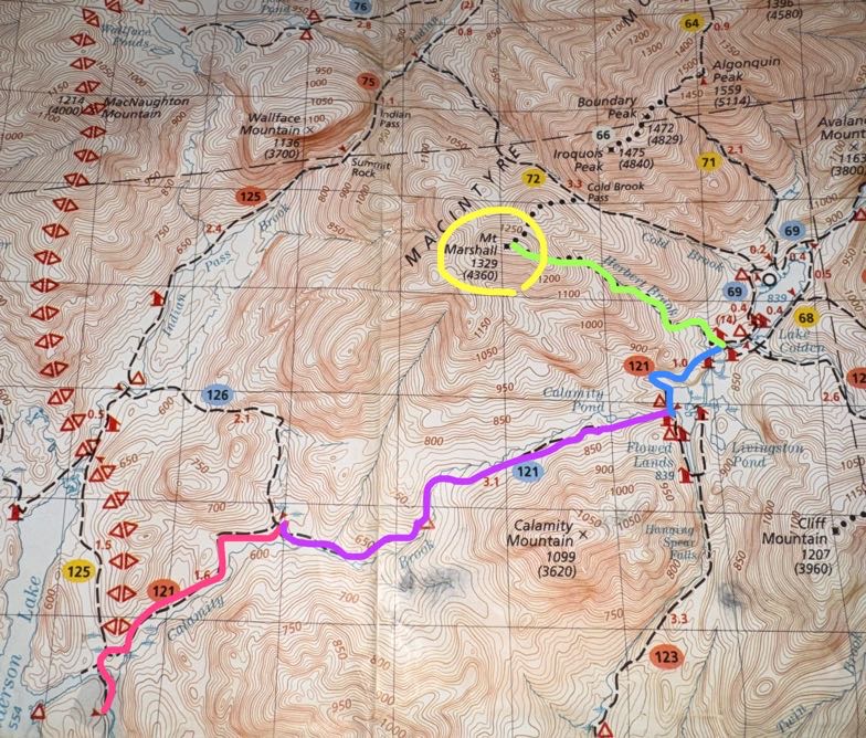
Another day, another waking-up-at-5am-to-climb-a-mountain. Marshall is the second-to-last hike I have left to complete the 46 high peaks. I originally had planned to do this hike in a loop – up Cold Brook to the summit, down Herbert Brook.
If you’re planning to hike Marshall, you probably know about the plane wreck that you can spot on the way up. In 1969, a pilot hit rough weather and crashed his plane near where the Cold Brook trail now is. Fortunately he survived, but his plane remains in it’s resting place for hikers to check out quite a ways up the trail towards Marshall.
The Cold Brook trail is lightly travelled, steep, and crowded with shrubs and overhanging boughs. Someone recently told me that the Herbert brook trail is like a highway in comparison, so we decided to forego the experience and hike Marshall as an out-and-back via Herbert Brook.
We arrived at 7:38am to a completely full parking lot. We parked behind a short line of cars along the side of the road, tied our boots, and hit the trail.
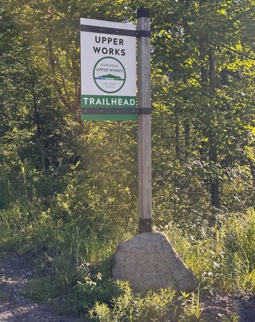
The parking area and trail was different from what I remembered. There’s a gate now that removes access to the smaller parking area right at the trailhead. We stopped at a new-looking sign beside the historical MacNaughton cottage and read some of the new signs that line the gravel road to the trailhead to read about the community that had lived and worked here in the 19th century.
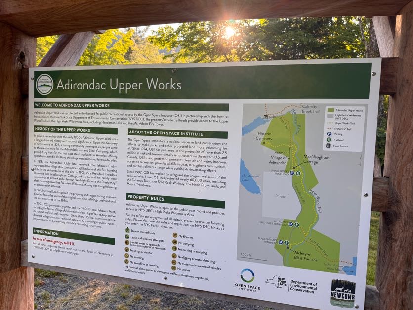
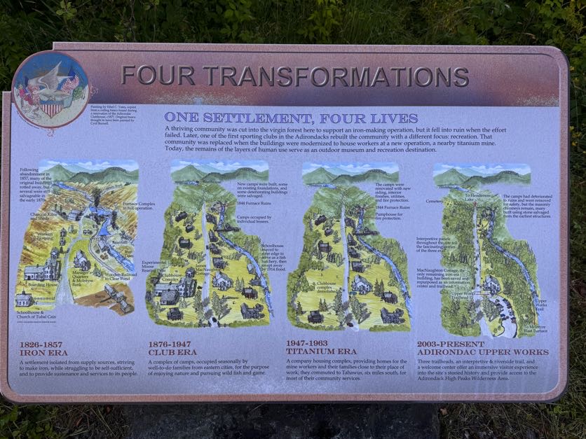
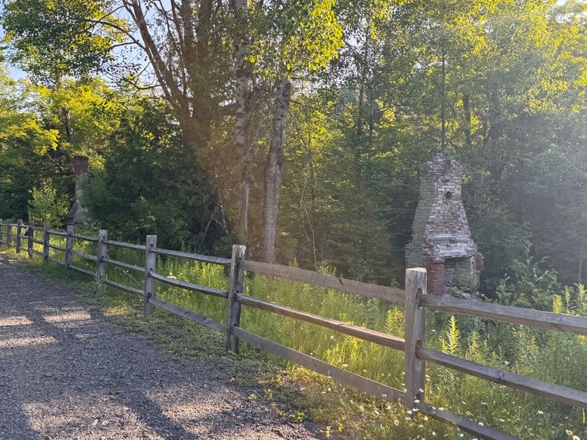
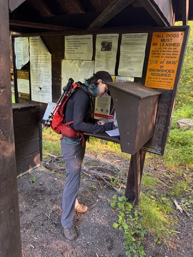
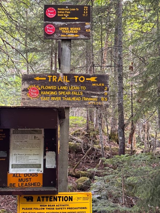
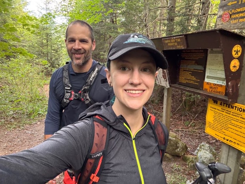
We reached the actual trailhead at 7:45 and signed in, noting the many people already signed in ahead of us, and made sure to also take a photo of the emergency numbers.
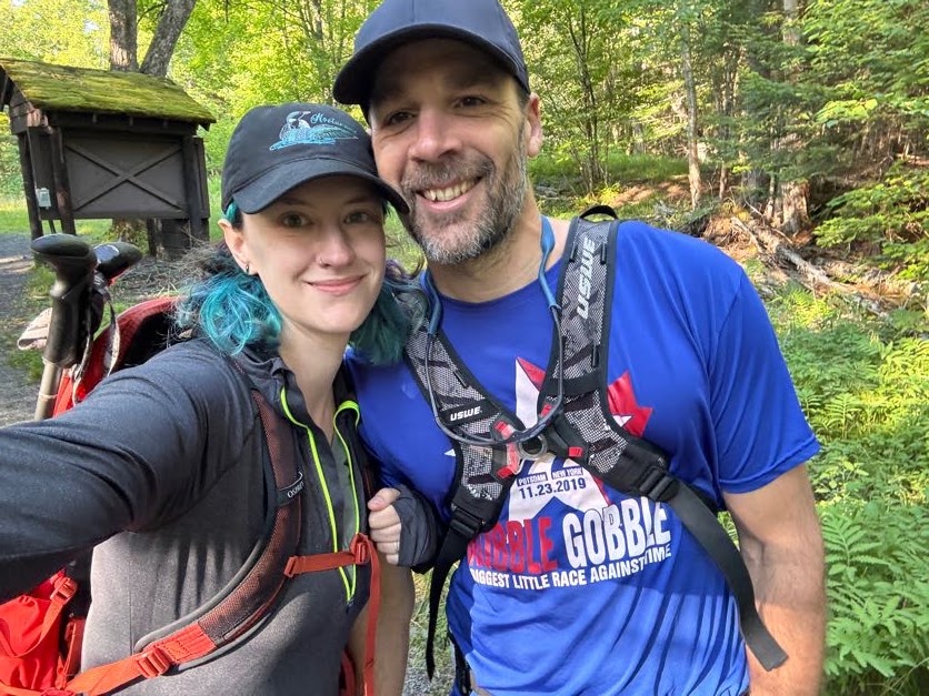
I always enjoy the early morning light through the trees on hikes like this.
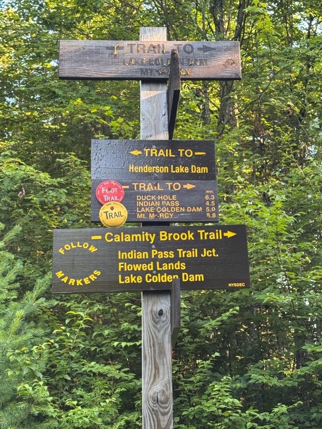
It didn’t take more than a few minutes to reach the first junction. We stayed to the right to continue on Calamity Brook Trail.
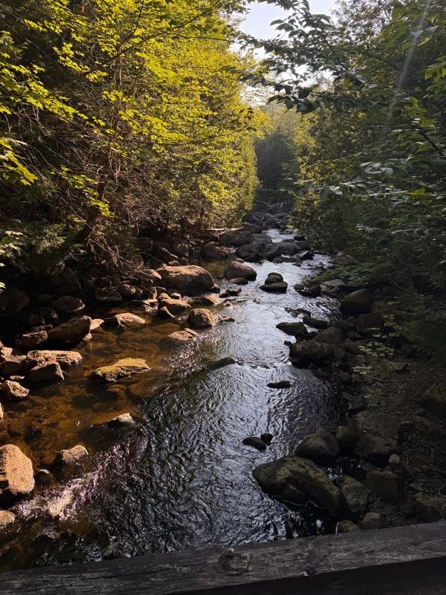
I’d been feeling very low energy all week – granted, it’s been a really busy week, so that kinda makes sense – but I’m so close to finishing the 46 that nothing can stand in my way now. So I was sleepy and drowsy, but quietly enjoying this pleasant walk through the forest.
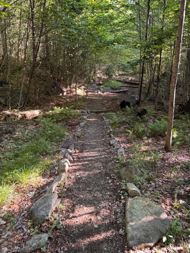
At 8:20 we reached a pool along the brook created from a beaver dam. We looked around but didn’t see any beavers out – they usually prefer evening activity so that makes sense.
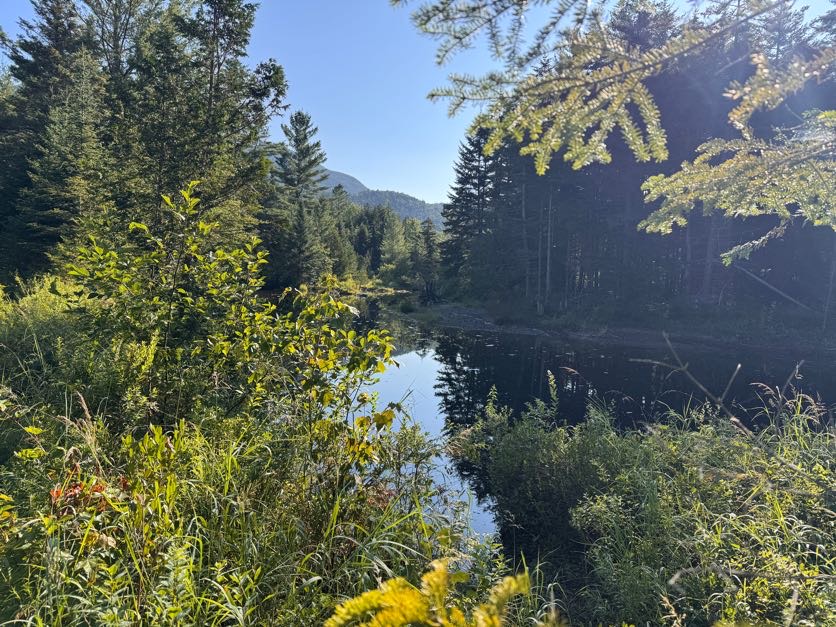
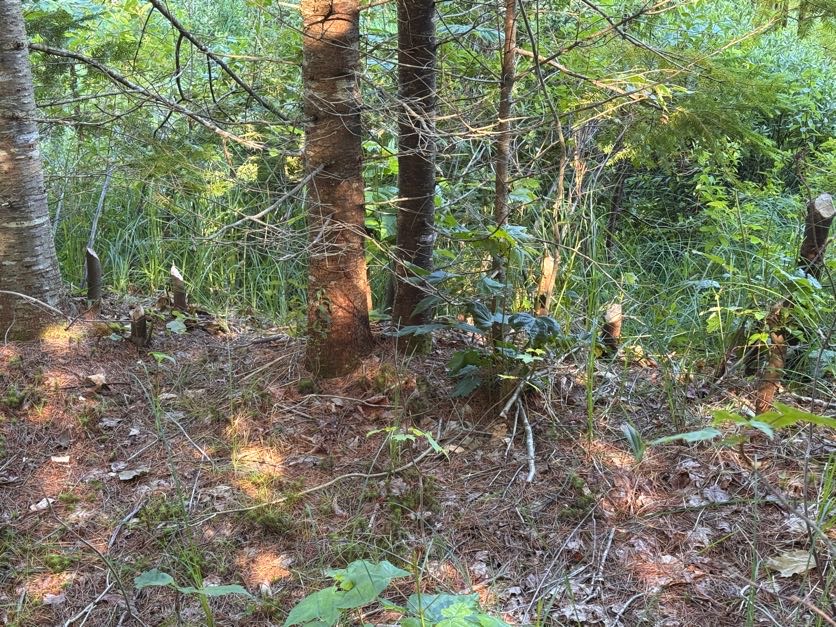
We DID however notice some pretty clear signs of busy beavers alongside the trail!
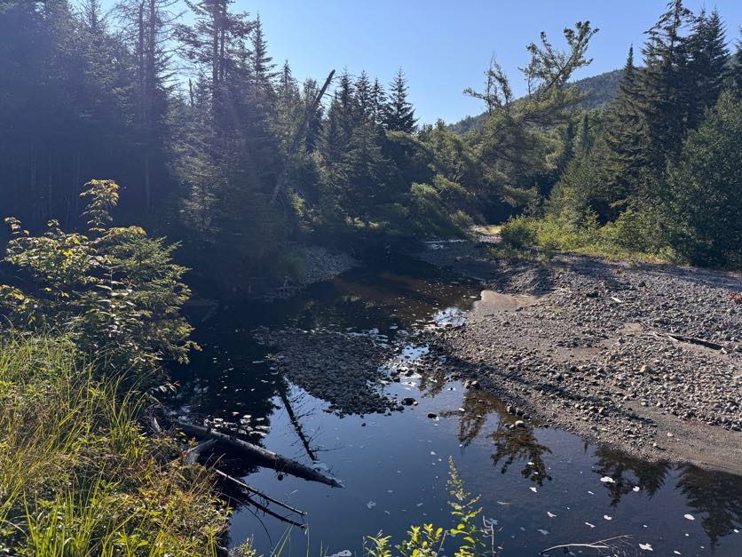
A few minutes later we reached a spot alongside the brook that we vividly recall from when we came this way with our pup Juno to climb Cliff and Redfield. We had hopped down and crossed the brook to throw sticks in the water for her, she was so happy!
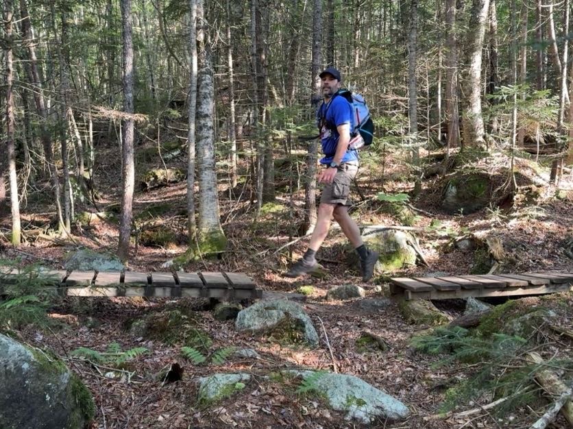
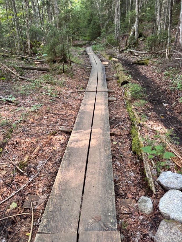
When we crossed these two nice sections of wooden walkway, Gildo said to me “I have an idea…” so anyway here he is magically walking on air to bridge the gap between the walkways.
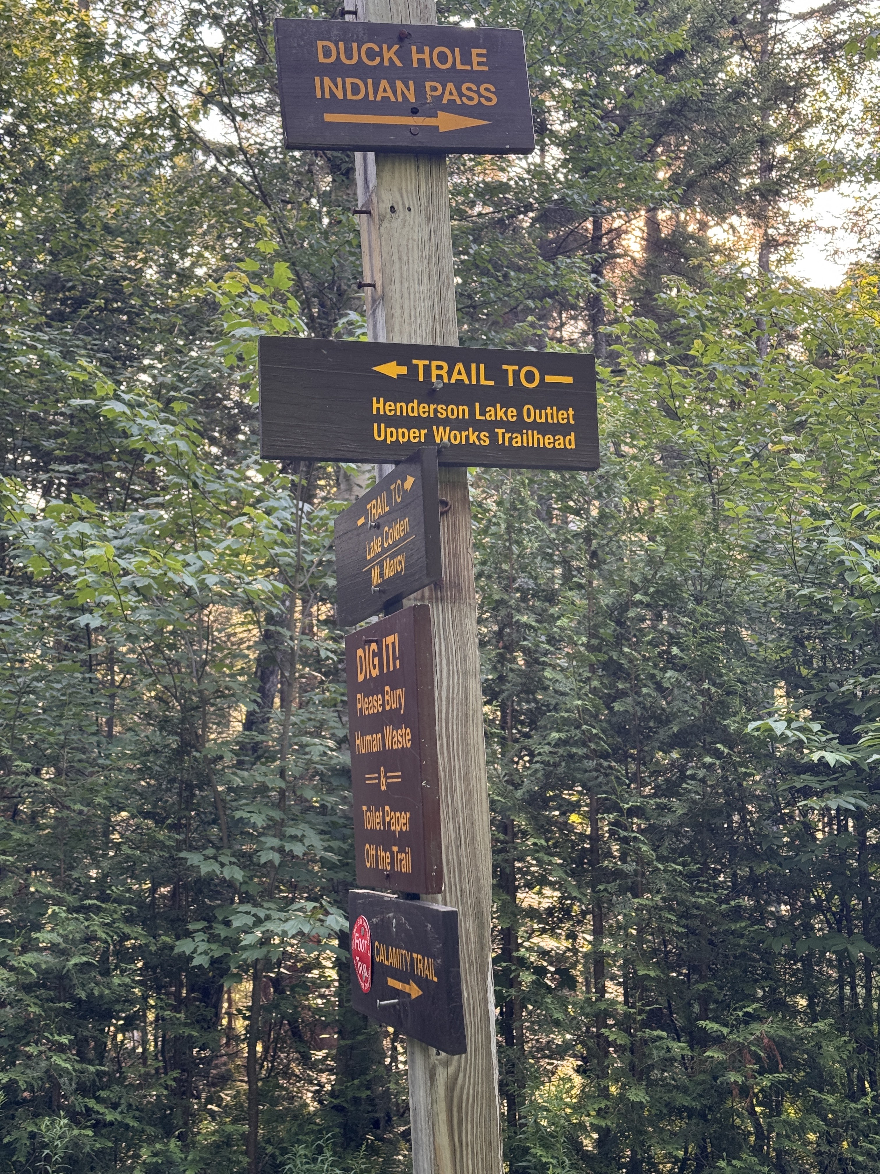
At 8:30 we reached the next junction, indicating we’d gone 1.6 miles. Turning left would take us along Indian Pass; we turned right to cross the bridge and stay on the Calamity Brook trail for another 3.1 miles to the next junction.
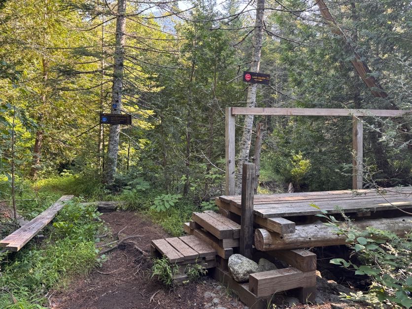
Just crossing the bridge normally, as a normal human person would.
Have I ever told you about the legend of the Golden Squirrel? He likes to follow alongside hikers on the trail, and drop sweet treats to reward the worthiest of hikers. He was pretty active on this particular trail, first striking about an hour in!
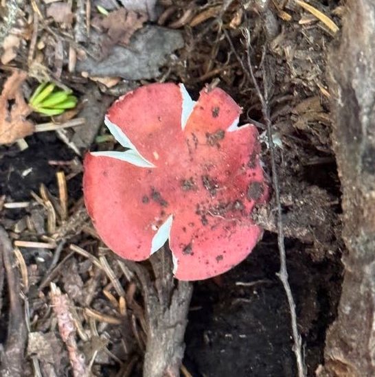
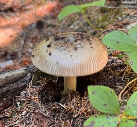
Mushrooms were rife on the trail, we saw so many brightly colored ones along the way like this russula.
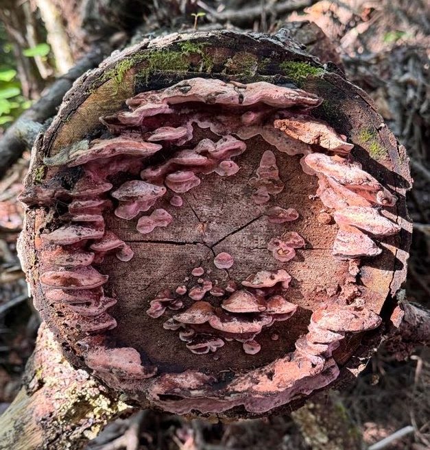
And these mushrooms growing out of a severed tree across the trail.
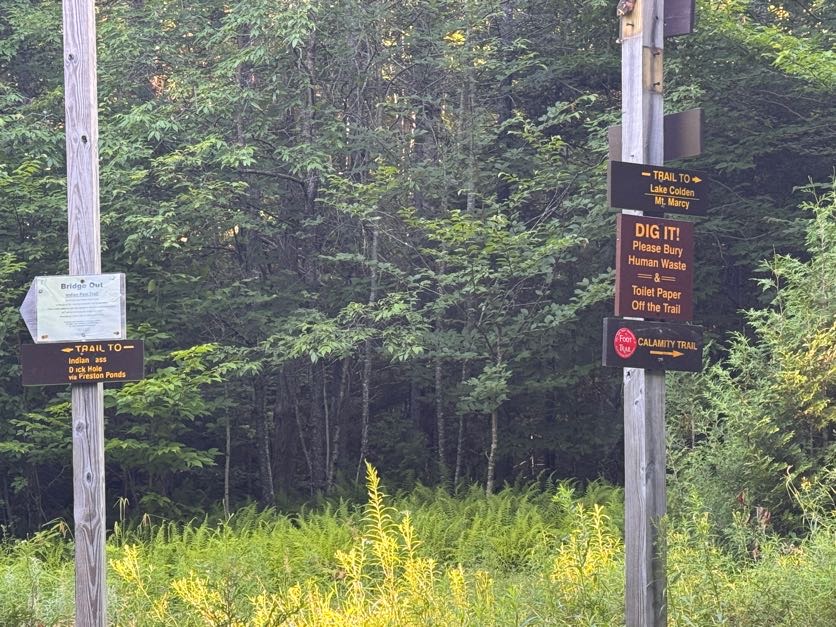
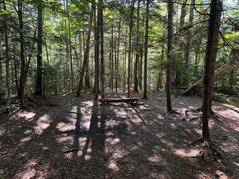
At 9:00 we reached the first real campsite on the map – there was another sign for a campsite further down the trail, but it looked to be across the river and the bridge was out, so I’m not sure how you’d get to it.

We have fond memories of this campsite, so we headed in to rest on the log and have a snack for a quick break.
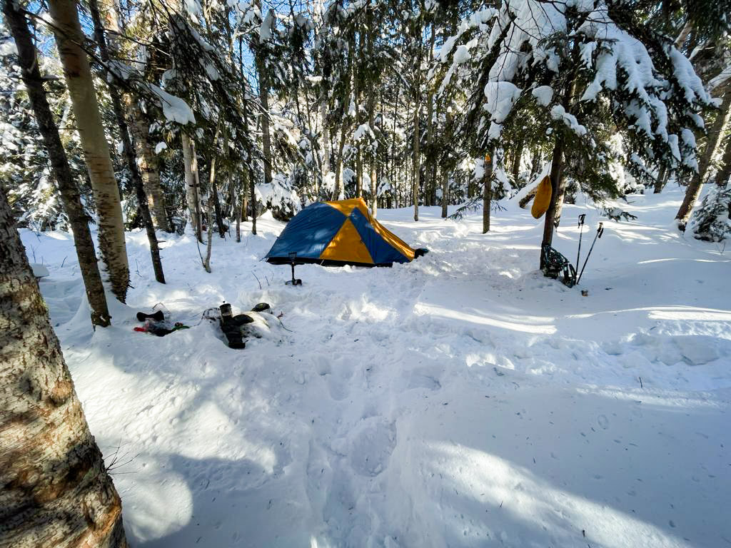
We actually tried to summit Marshall once before – in February of 2021. It was frigid cold and we had planned to camp near the base of Marshall. However barely 3 miles into the hike, the pain in my knees flared up and left me unable to go any further. So we set up camp right here and hiked out in the morning. It was -15 degrees F overnight, and a balmy +15 degrees F INSIDE the tent! But we surivived!
After 10 minutes or so we continued on our way.
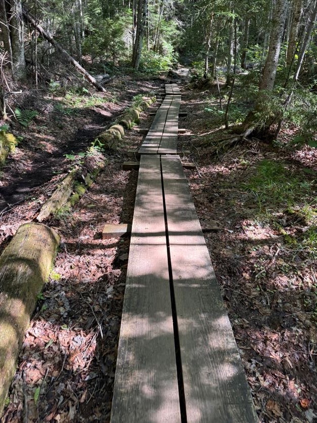
One thing I DO remember from our Cliff and Redfield trek is how rocky this dang trail is. It’s probably not a big deal to most but all these rocks and boulders on the path cause a lot of pain to my knees and hips, so I was careful to step around them when possible; though it did slow us down.
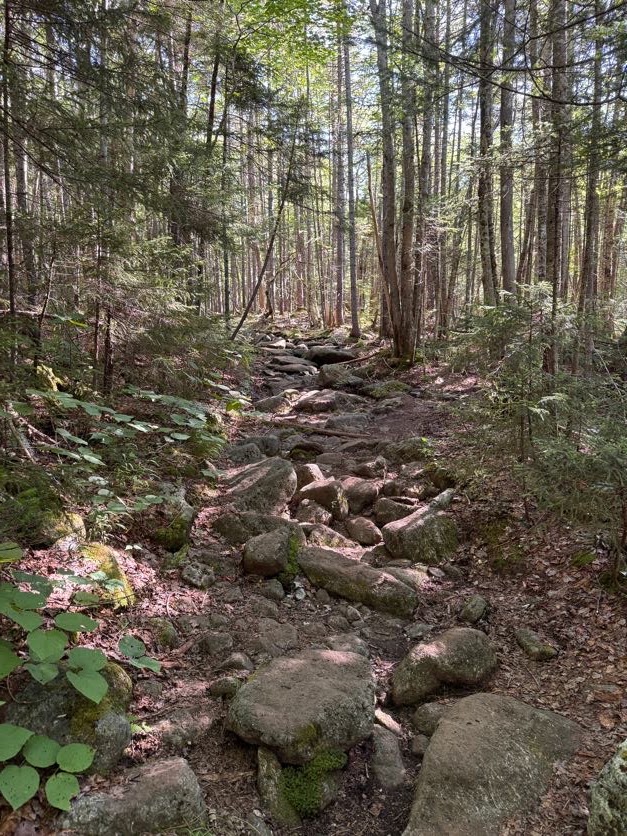
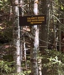
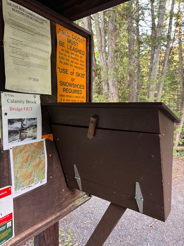
At 9:24 we reached the Calamity Brook crossing. A sign at the trailhead noted that the bridge had been washed away so we didn’t bother following this sign.
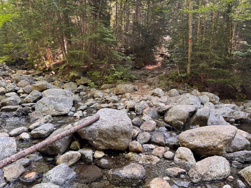
No worries though, the brook is perfectly easy to cross – just beware and DON’T TRUST ROCKS! (This is the catchphrase of the day by the way).
The further we went on this trail, the more Adirondack-y it became. If there isn’t any mud, are we even in the ADK?
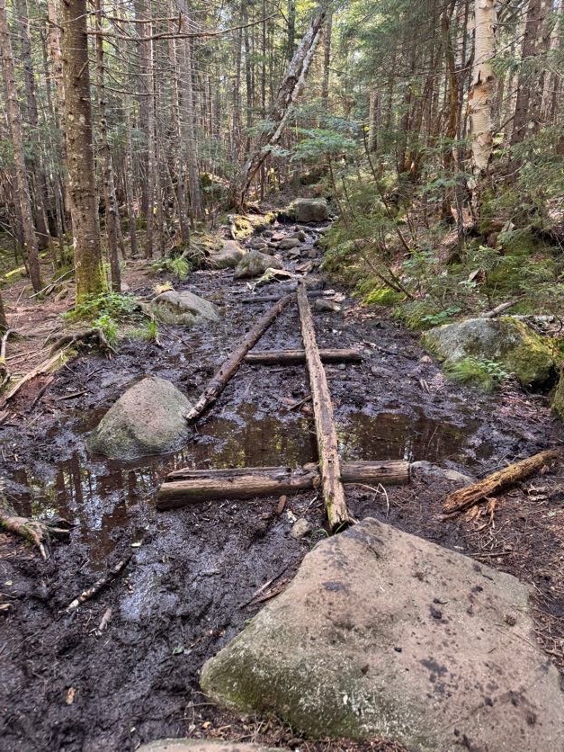
Mud AND rocks? Oh yes, we are here.
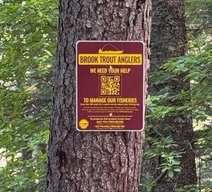
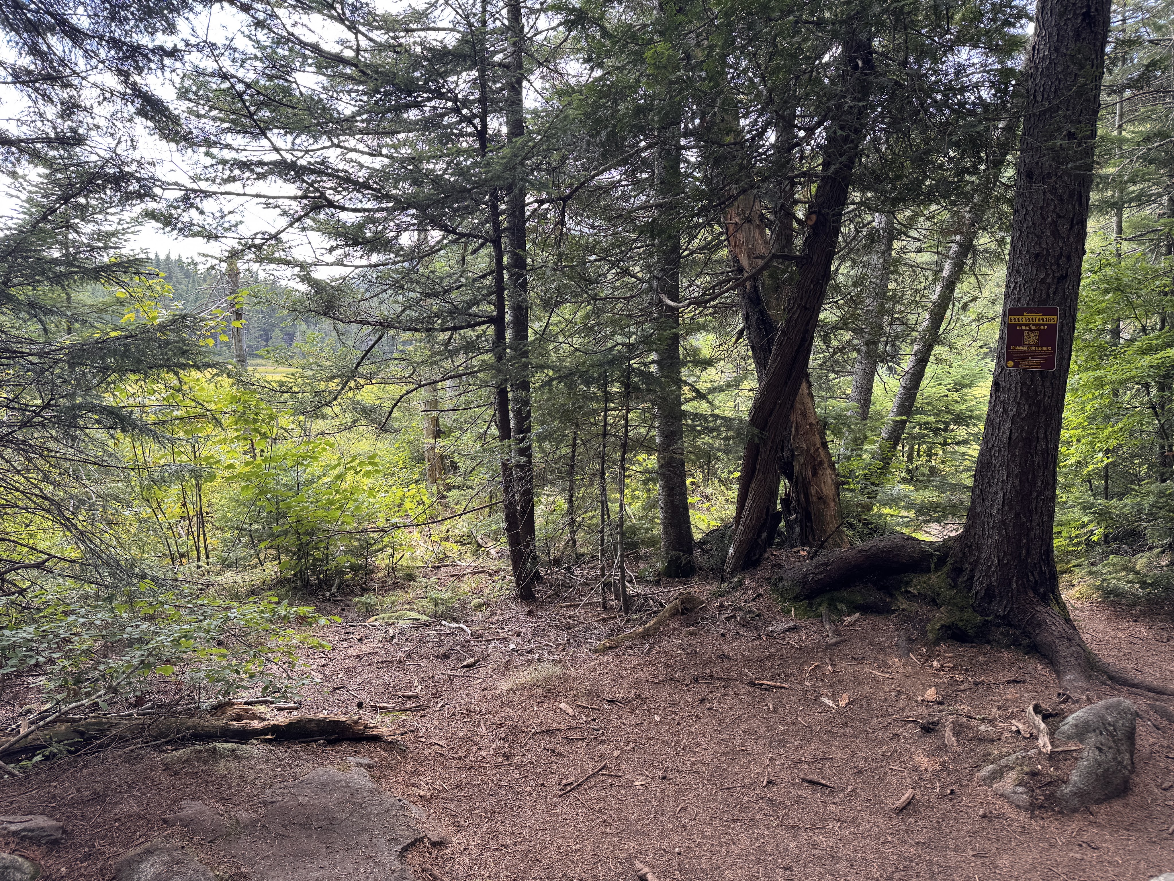
At 10:00am we reached a small unmarked junction marked with a sign for brook trout anglers.
We followed the small spur trail to a monument on the edge of Calamity pond.
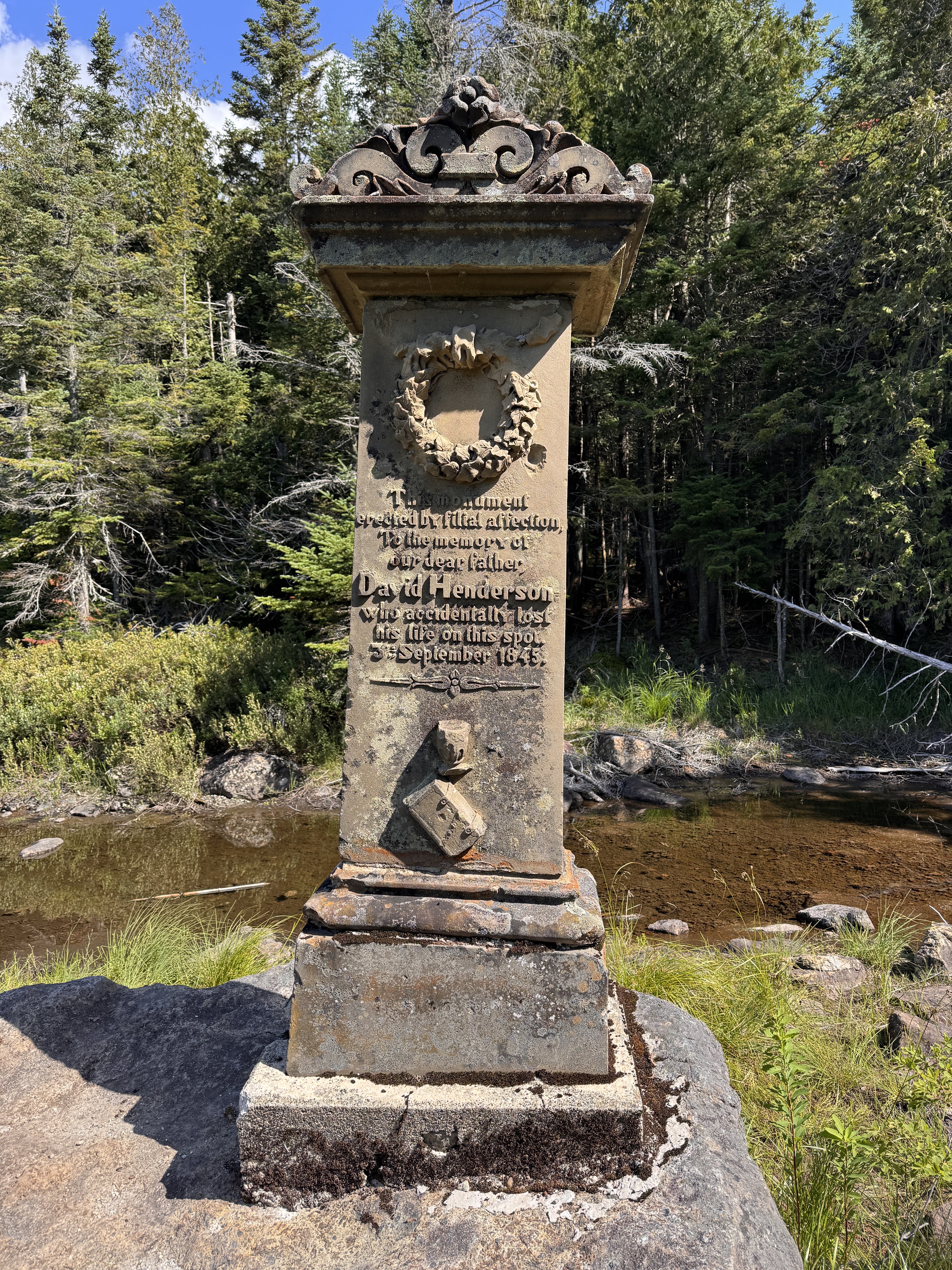
The monument marks the spot where David Henderson – a founding member of the iron ore works – had lost his life accidentally at this spot when he set his pistol down and it discharged into his abdomen. This pond and the brook we’ve been trekking along are so named Calamity because of this event.
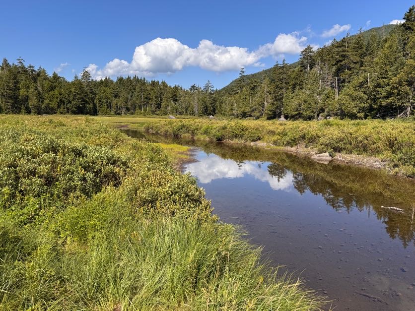
We carried on and 15 minutes later we were passing the Calamity lean-to, with the next register and junction just beyond.
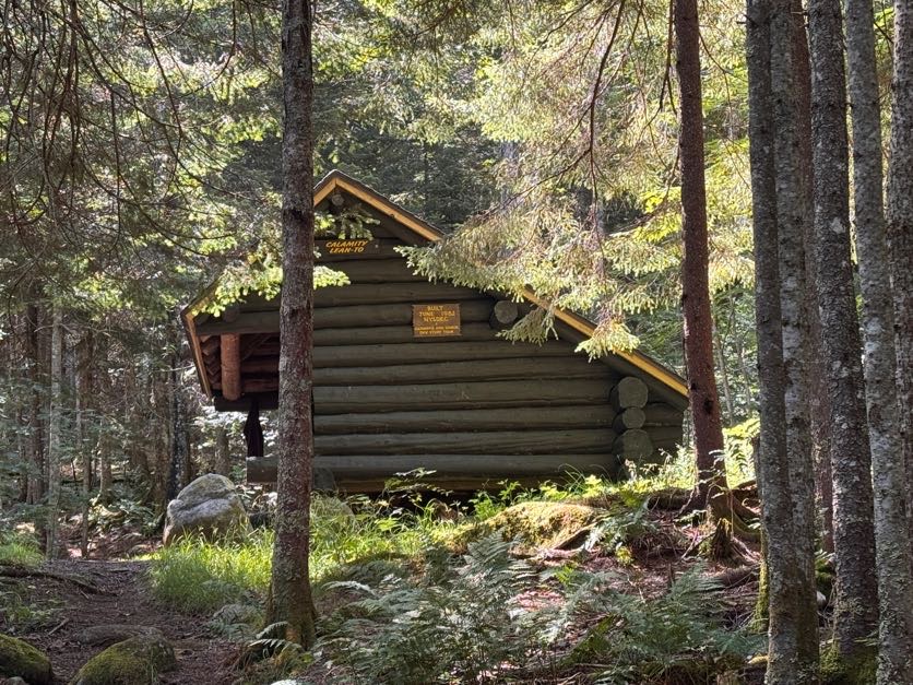
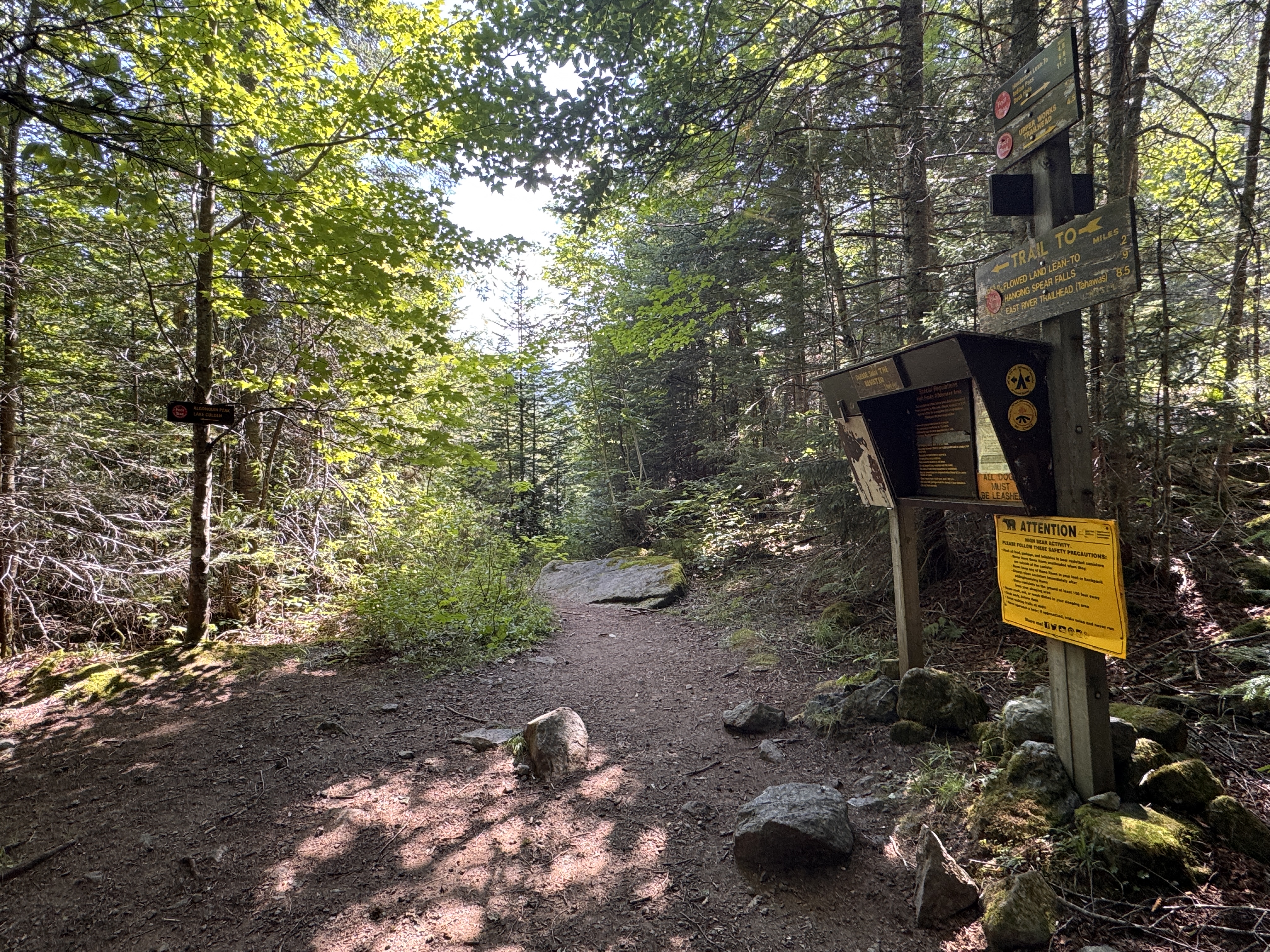
We took a moment to sign in and double check our map before following the sign to stay on the Calamity Brook trail towards the lake Colden dam.
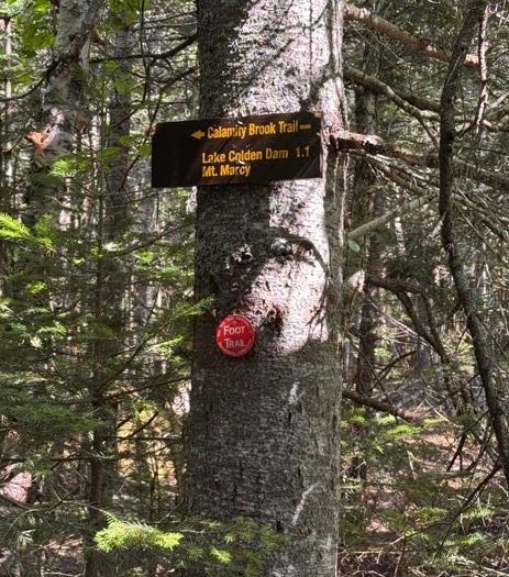
It was less than a mile to the junction to the Herbert Brook trail from here.
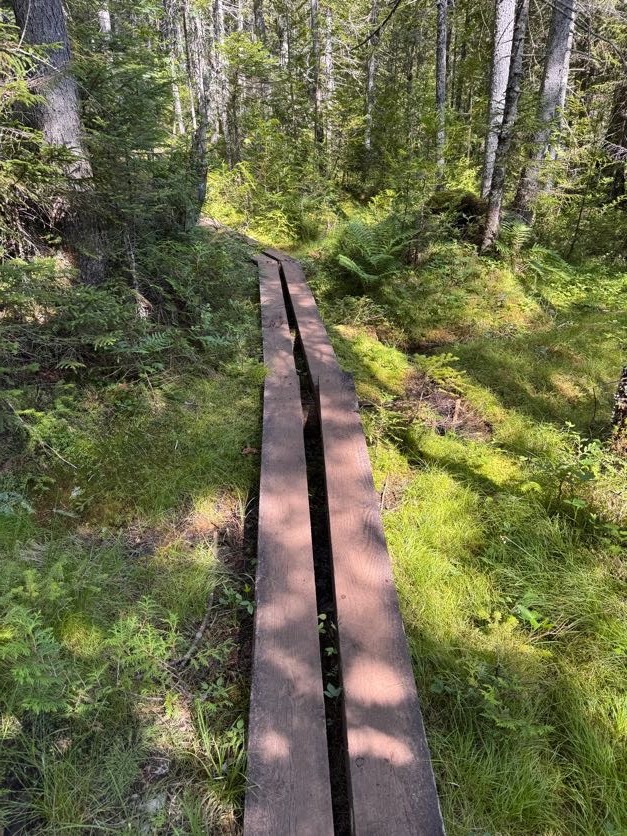
After 30 minutes, we reached the bridge over Herbert Brook and stopped for a few minutes to have first lunch and top off our water supply before starting the ~2 mile push to the summit.
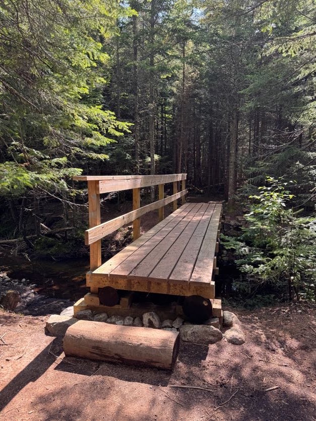
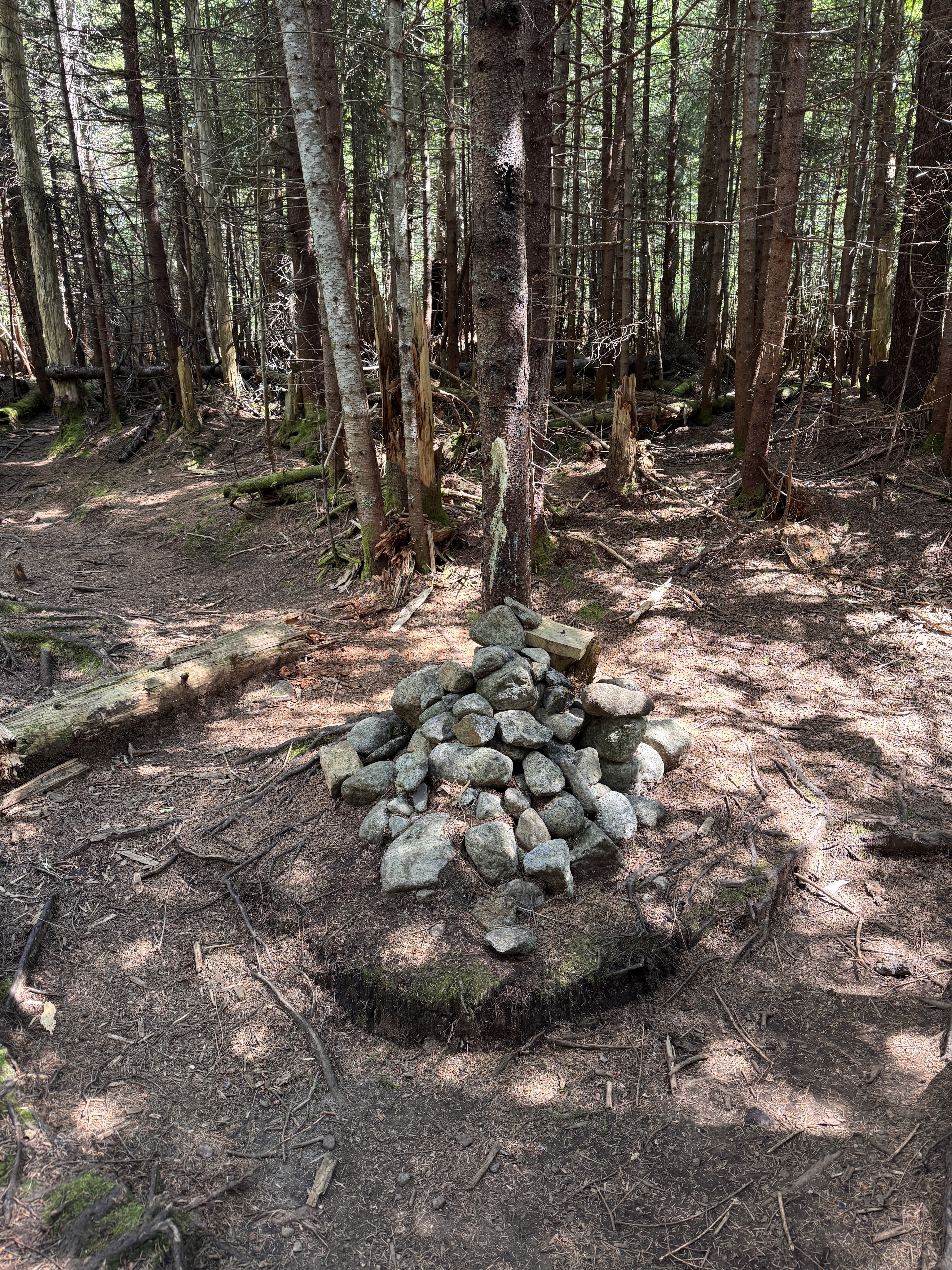
At 11:10 we again loaded up our bags and turned left at the large cairn just past the bridge.
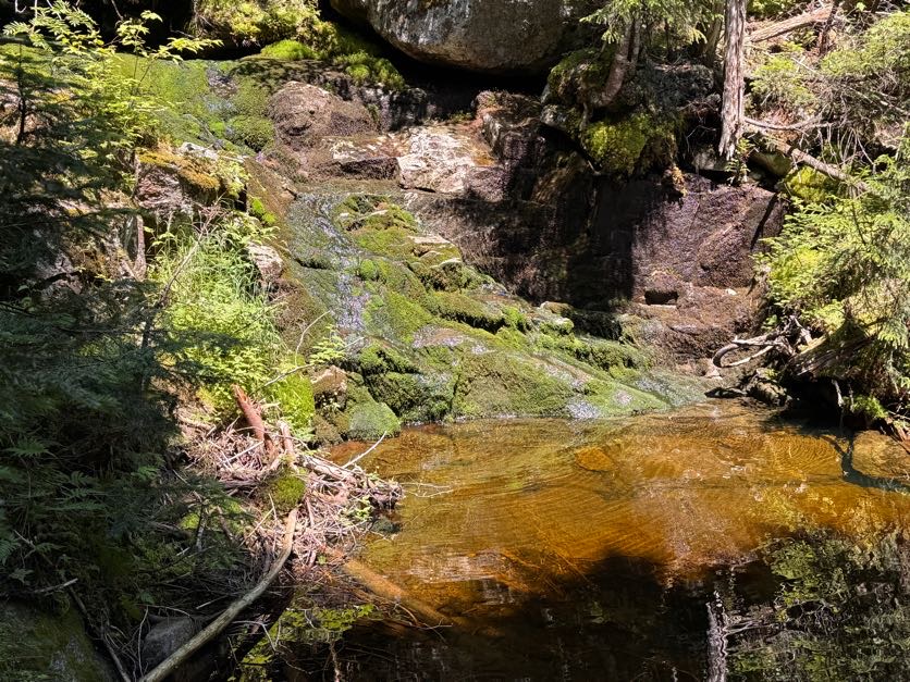
Within a few minutes, we arrived at the most lovely waterfall-fed pool and daydreamed about jumping right in.
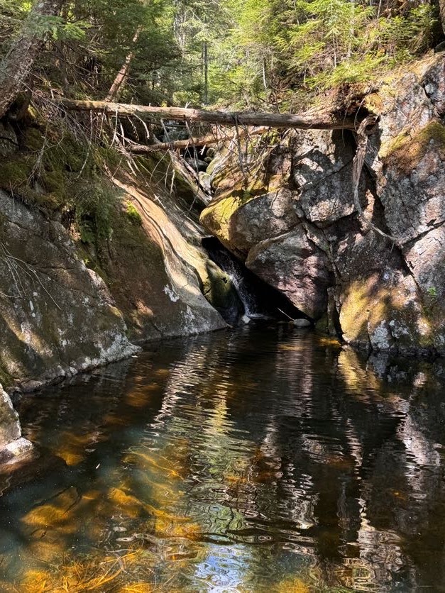
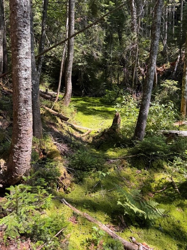
Instead we wound our way up to the top of the waterfall. This trail was gorgeous, winding it’s way through the most verdant lush moss all the way. Naturally I had to test it out for myself!
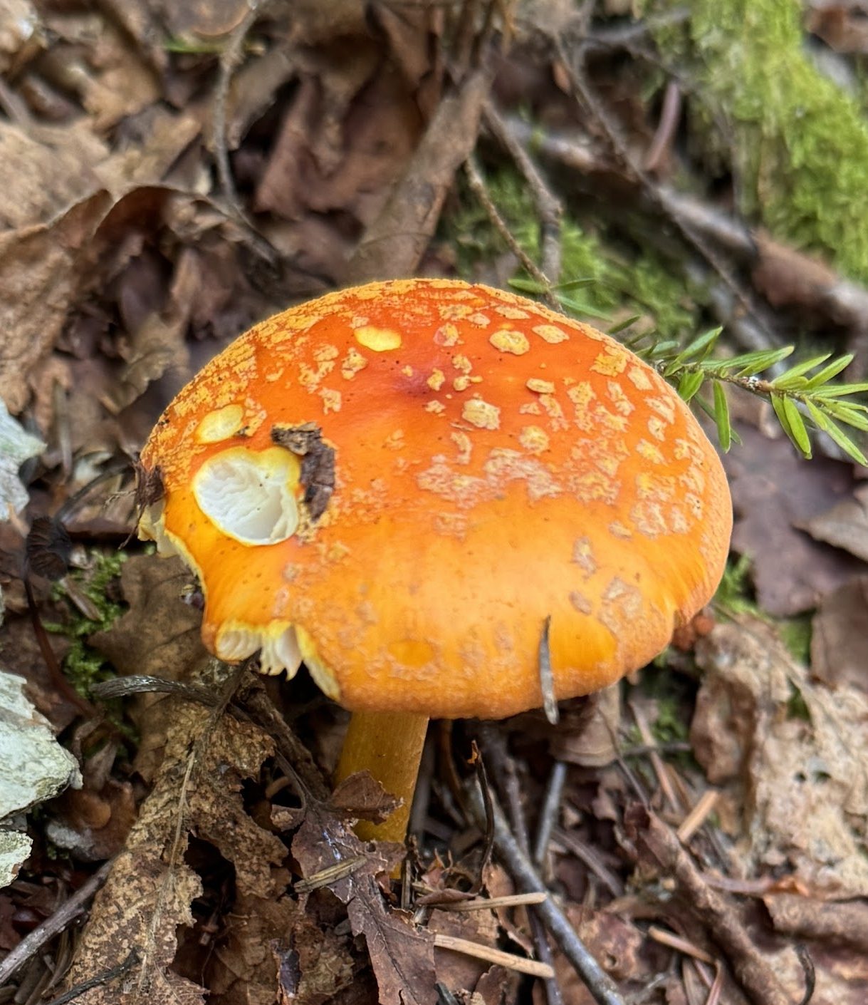
And more mushrooms!
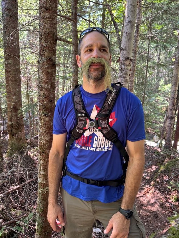
As I walk through forests, I like to reach out to touch the plants and rocks and moss and whatnot as I go. Sometimes I reach down to pick up pieces of lichen. So when I found some Old Man’s Beard lichen, we just had to, you know…
The trail up Herbert Brook is unmarked and unmaintained. So a lot of it is a sort of choose-your-own-adventure experience. As long as you stay near the water, you’re on the right path. And if the brook is pretty dry like it was for us, it’s best to just walk straight up it.
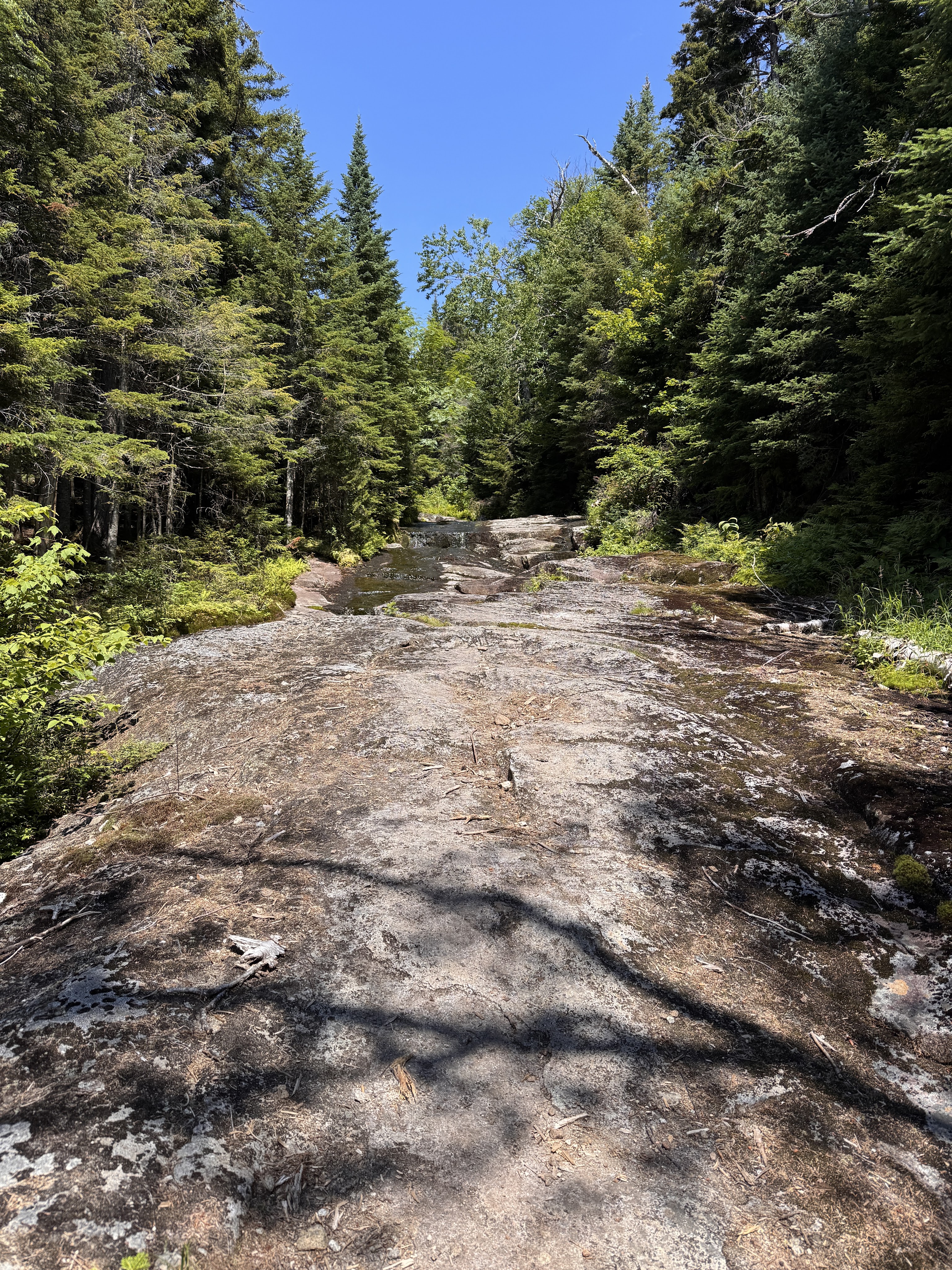
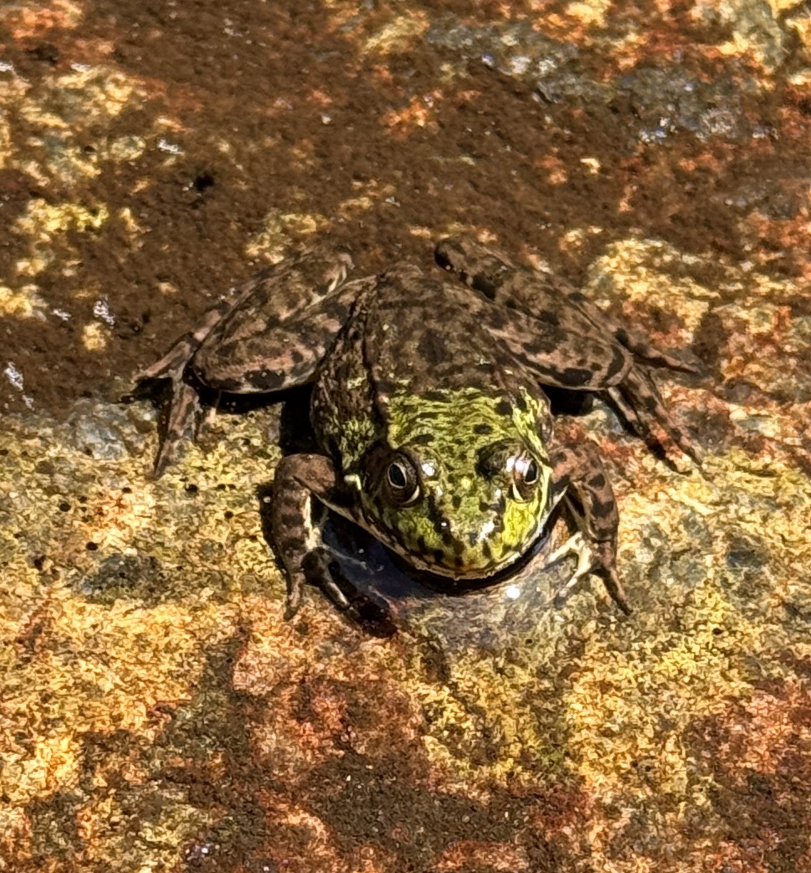
The nice part of that is the walking is easy and you can look for little critters in the pools as you go, like this frog!
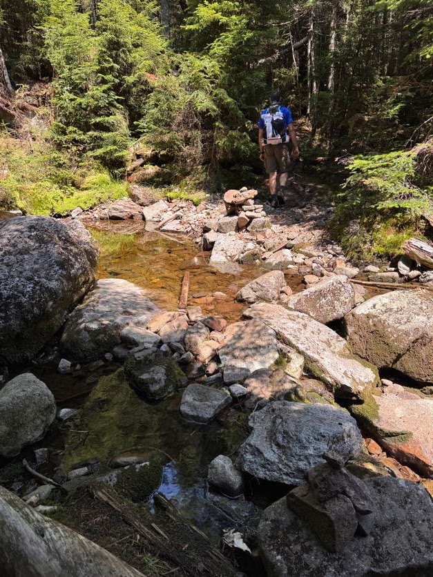
Some cairns are scattered about to help you find your way when weaving in, out, and around the brook.
Pictures don’t do justice to the beauty of this stream. So many shades of green, soft thick moss, the trickle of water glistening in the sun…It all just makes me long to be a small little creature so I might live in that moss.
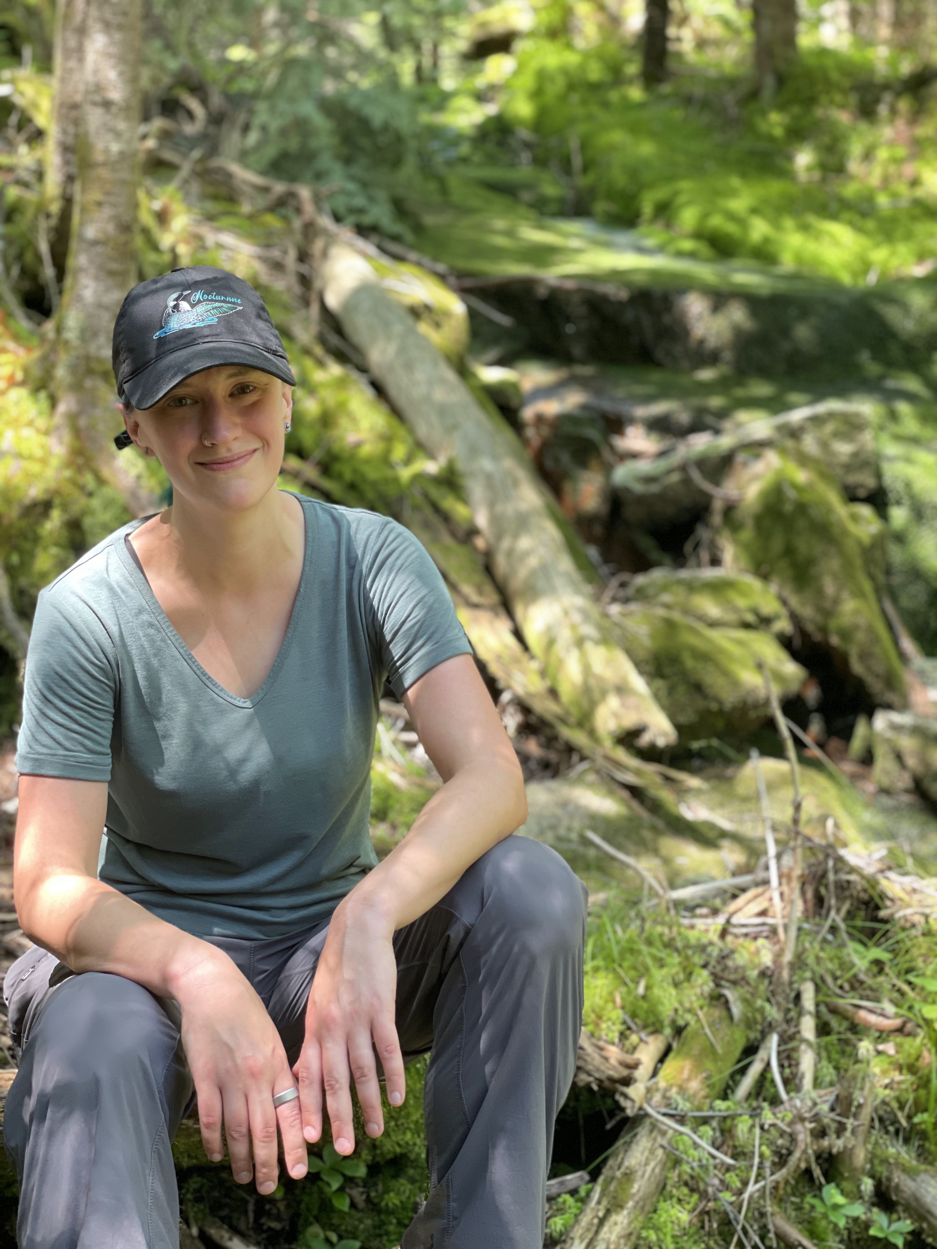
Gildo requested I sit on this log to get a picture with the beautiful background. What do you think, should it be the cover of my next single “46 Ways To Get Home”? (It comes out in a few weeks!!)
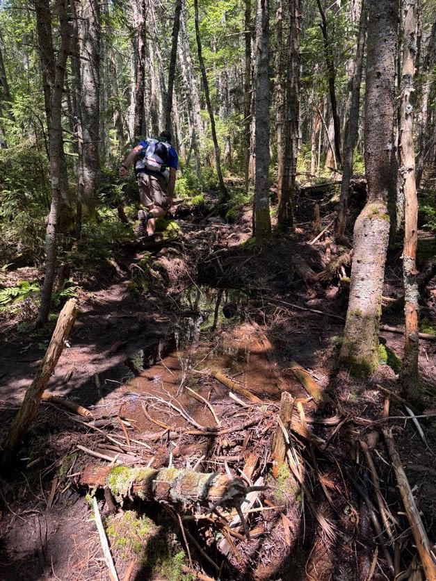
This trail wasn’t the most difficult I’ve ever done, but it was clearly not a maintained one. Lots of roots and rocks and mud – fortunately it hasn’t rained recently so the mud wasn’t quite so treacherous. But it did make me wonder – if this was a highway in comparison to the Cold Brook trail, then what was THAT trail like!?
There was one point at which the trail split – the choose-your-own-adventure game again – and I chose right while Gildo chose left. We shouted to each other through the trees, trying to convince each other to switch sides, when I came upon this:
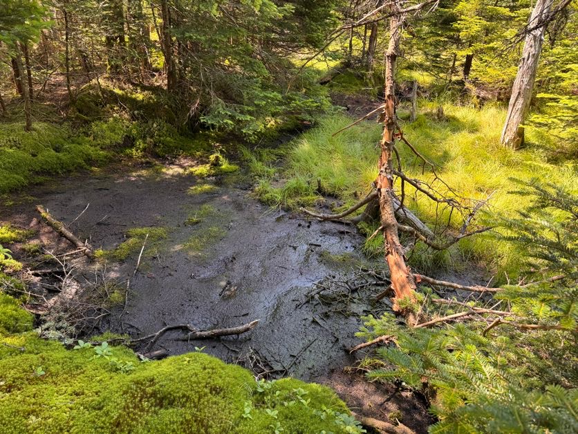
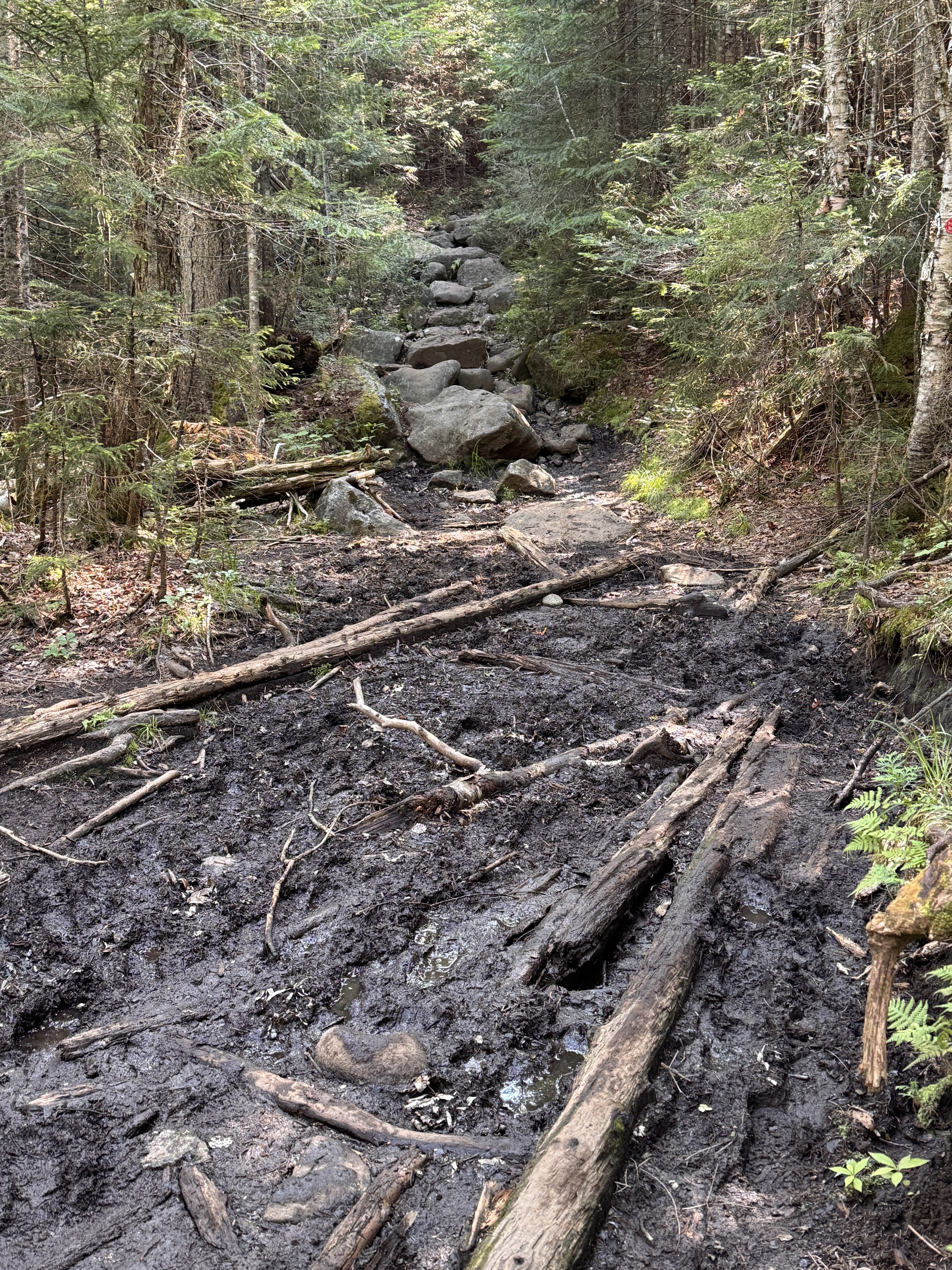
I was able to skirt along it to pick my way back towards the other trail, but I noticed some daring voyagers had just sent it straight through the mud. I made it back to where Gildo was but in the end, if I’d just continued on the path I was already on, they would have converged. So don’t sweat it if you think you’ve taken the wrong way, and don’t bother going through the mud – just stay on the path until they meet again!
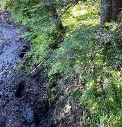
After about an hour and a half, the brook disappeared and we knew we were getting close. But I was sooooo tired. It took a lot of convincing to get my legs to keep moving. Especially in spots like this…
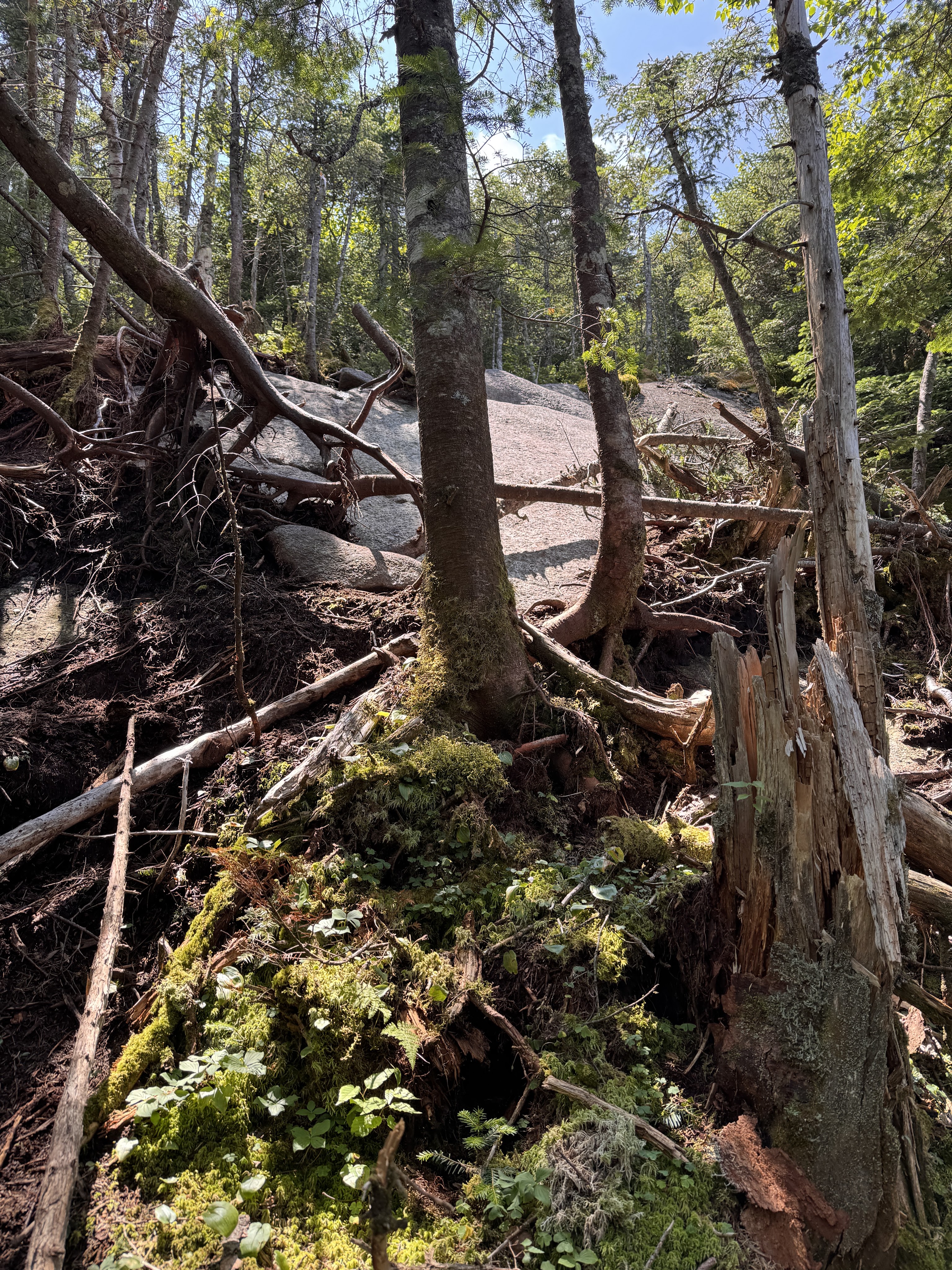
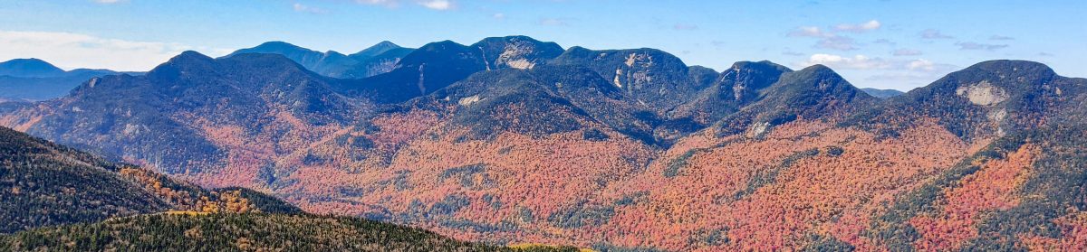
At the top of the ledge, we were rewarded with the only views we would get on this mountain – a stunning vista of Iroquois!
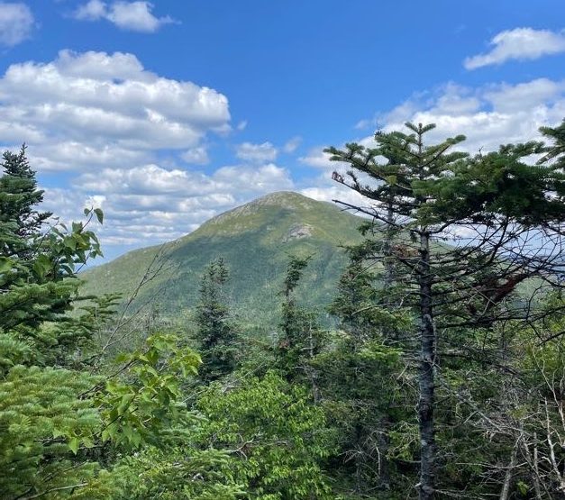
We could even see the ski jumps in lake placid in the distance, with Whiteface towering behind.
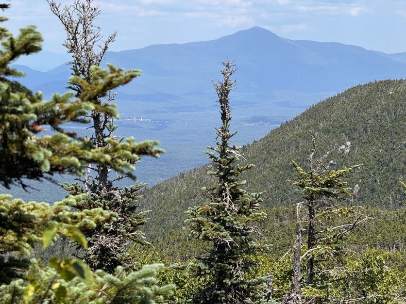
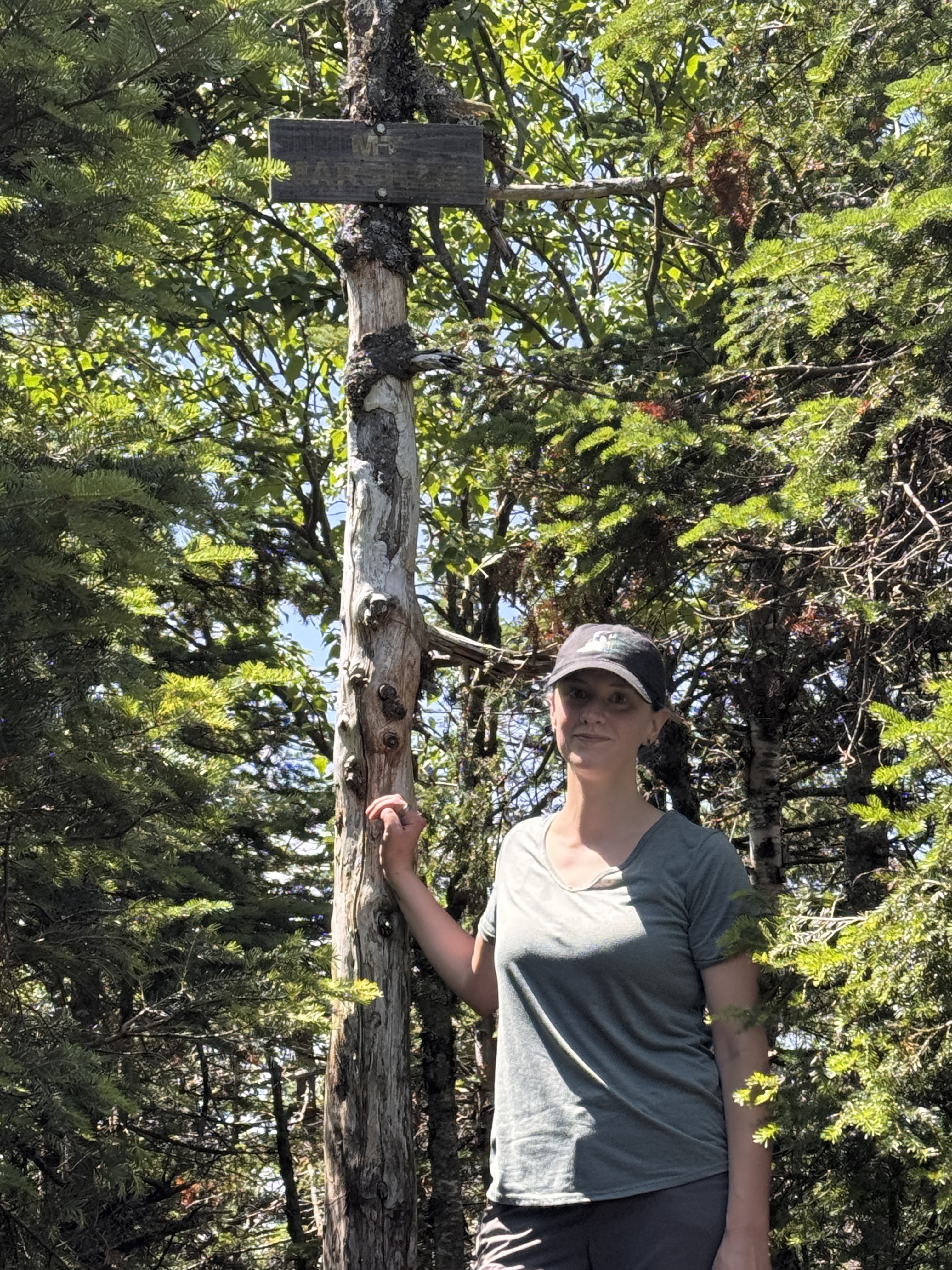
And then, at 1:06pm – 2 hours from the junction and a little over 5 hours from the trailhead – we reached the summit!
We shared the wooded summit with 2 other pairs of hikers and a pup. We claimed a small spot near the top and had second lunch – and victory chocolate!!
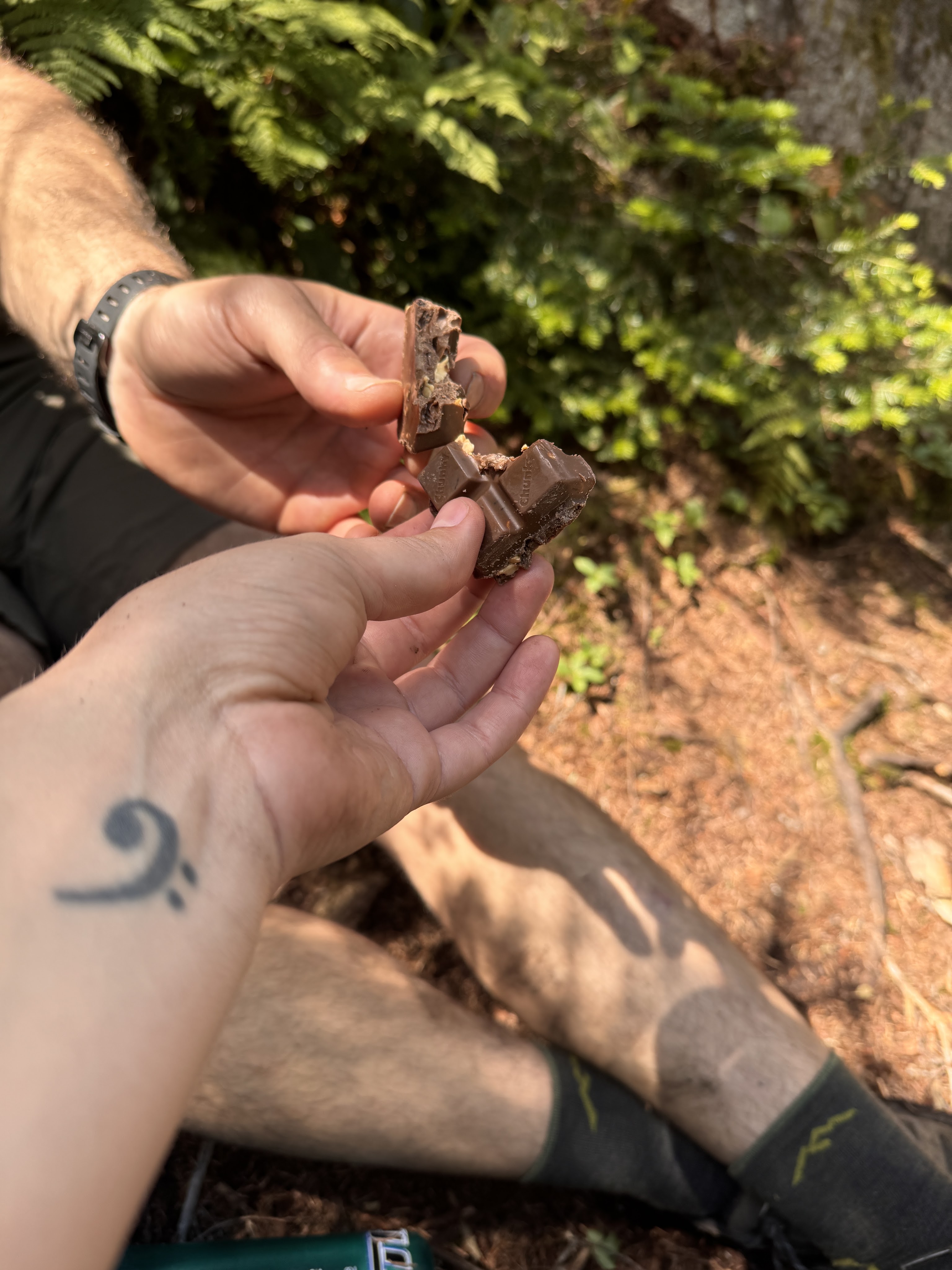
We didn’t want to cool off too much given how tired we already were, so as soon as we finished eating 15 minutes later, we headed right back down the trail.
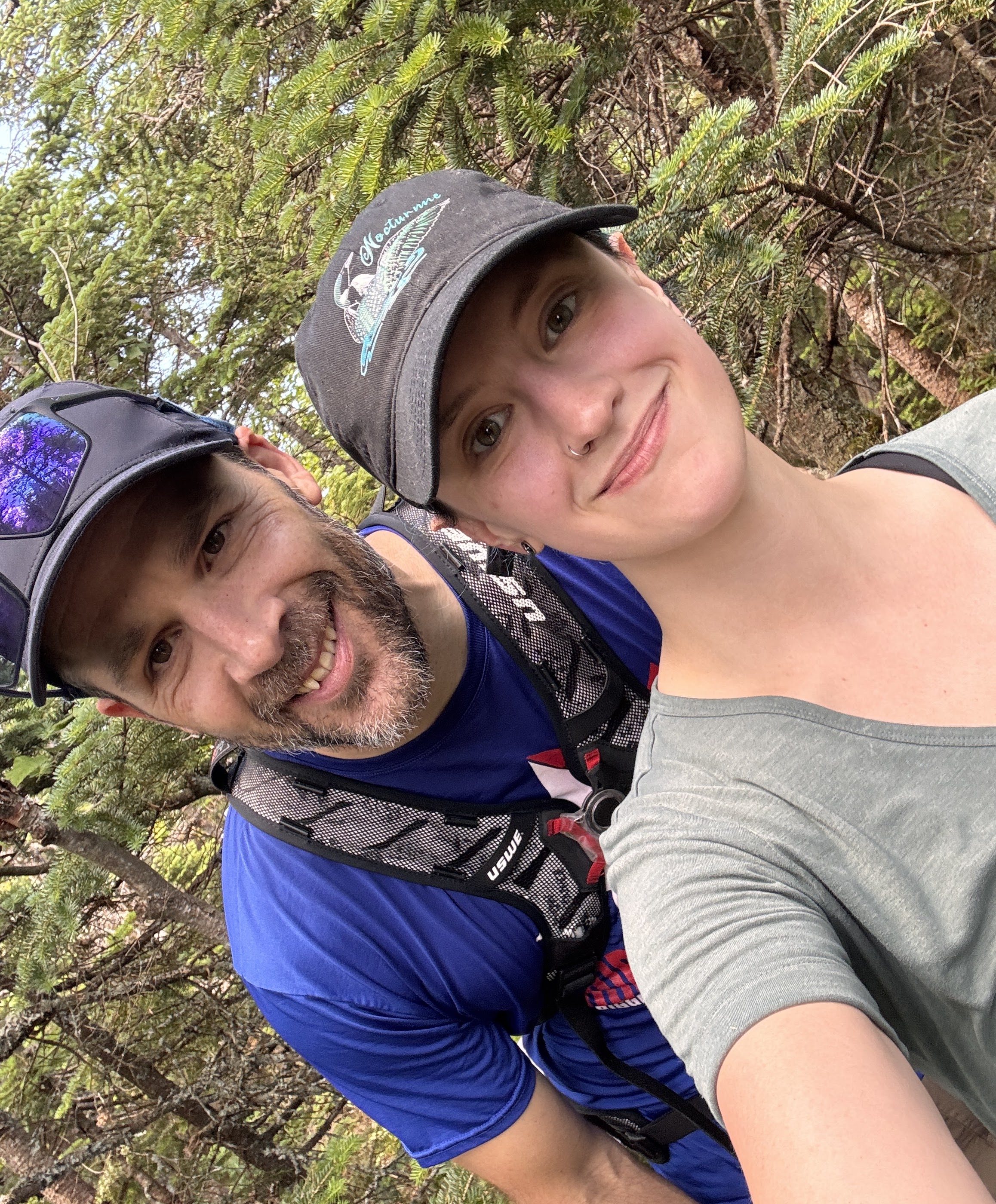
For anyone with chronic joint pain and instability, it’s crucial to find an excellent hiking partner that will lift you down off of high rocks when descending a trail. This guy makes hiking so fun and saves my knees to delay the pain for as long as he can. He’s the GOAT.
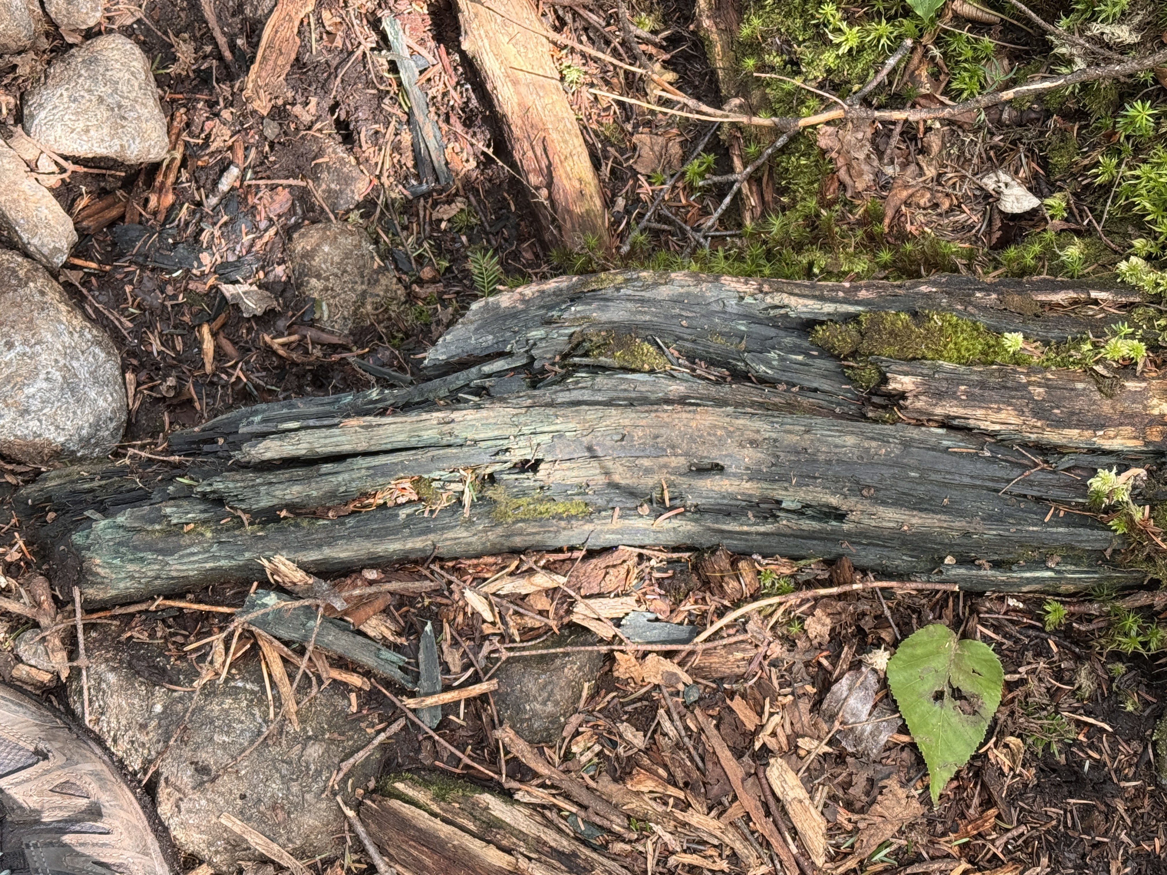
I’ve always wondered about these chunks of bluish-green wood I see when I’m hiking. I see it all the time and never knew why it’s so blue – so I looked it up! It’s caused by a ‘bluestain’ fungi that feeds on starches and sugars in the wood. Now you know!
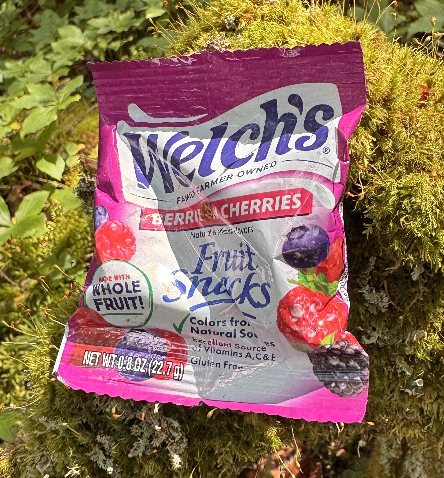
As we worked our way down the trail, the Golden Squirrel struck again!! What a nice squirrel.
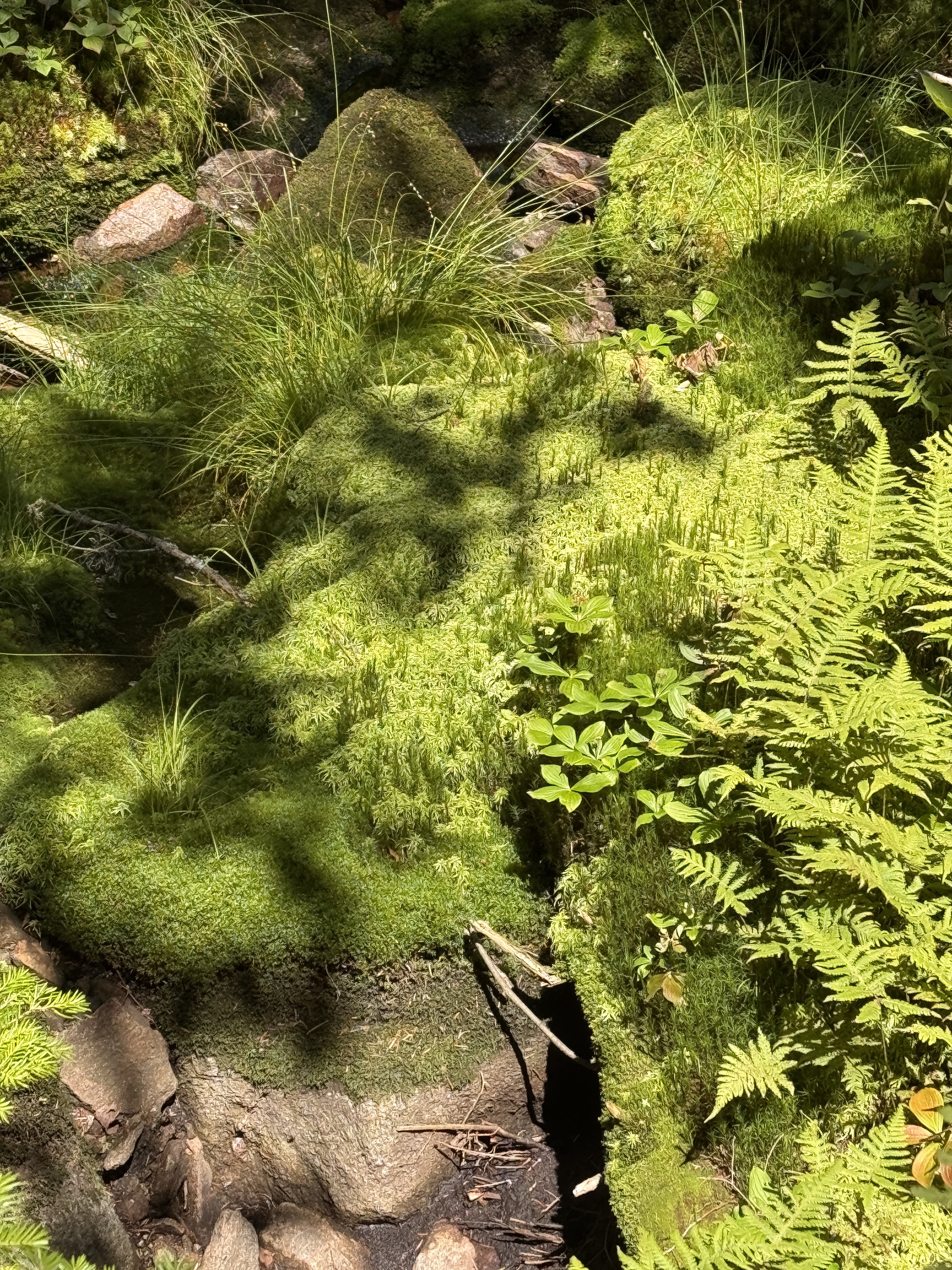
The longer I walked, the more this moss called my name. I wanted so badly to lie in it, but I had a feeling that if I did, it would just slurp me up and I’d become a permanent part of the forest. Or maybe I’d sink in so deep I’d pop out right back at home?!
At 2:15, we had once again reached the brook, so we scouted as we walked for the nicest pool we could find. We needed to refill our water supply anyway, so we might as well take a dip while we were at it!
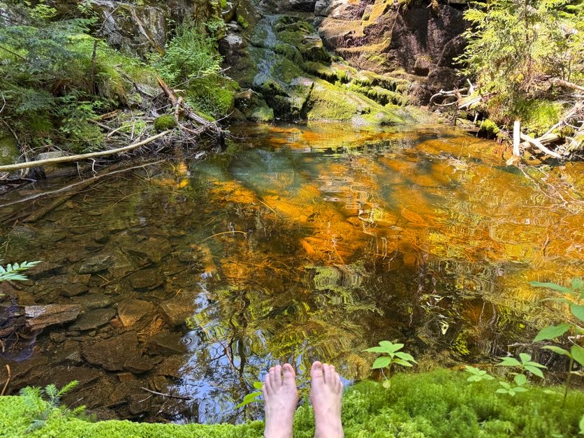
DANG THAT WATER WAS COLD! I walked in just far enough to reach the deepest part, then dove in head first. MAN I couldn’t get out fast enough after that! Imagine, this is probably the warmest this water really gets too. I like cold water but this was like instantly numbing. When I got out though I felt so much better, refreshed and re-energized. We spent more time here than we did at the summit! At 2:45 we put some dry clothes on and continued on our merry way.
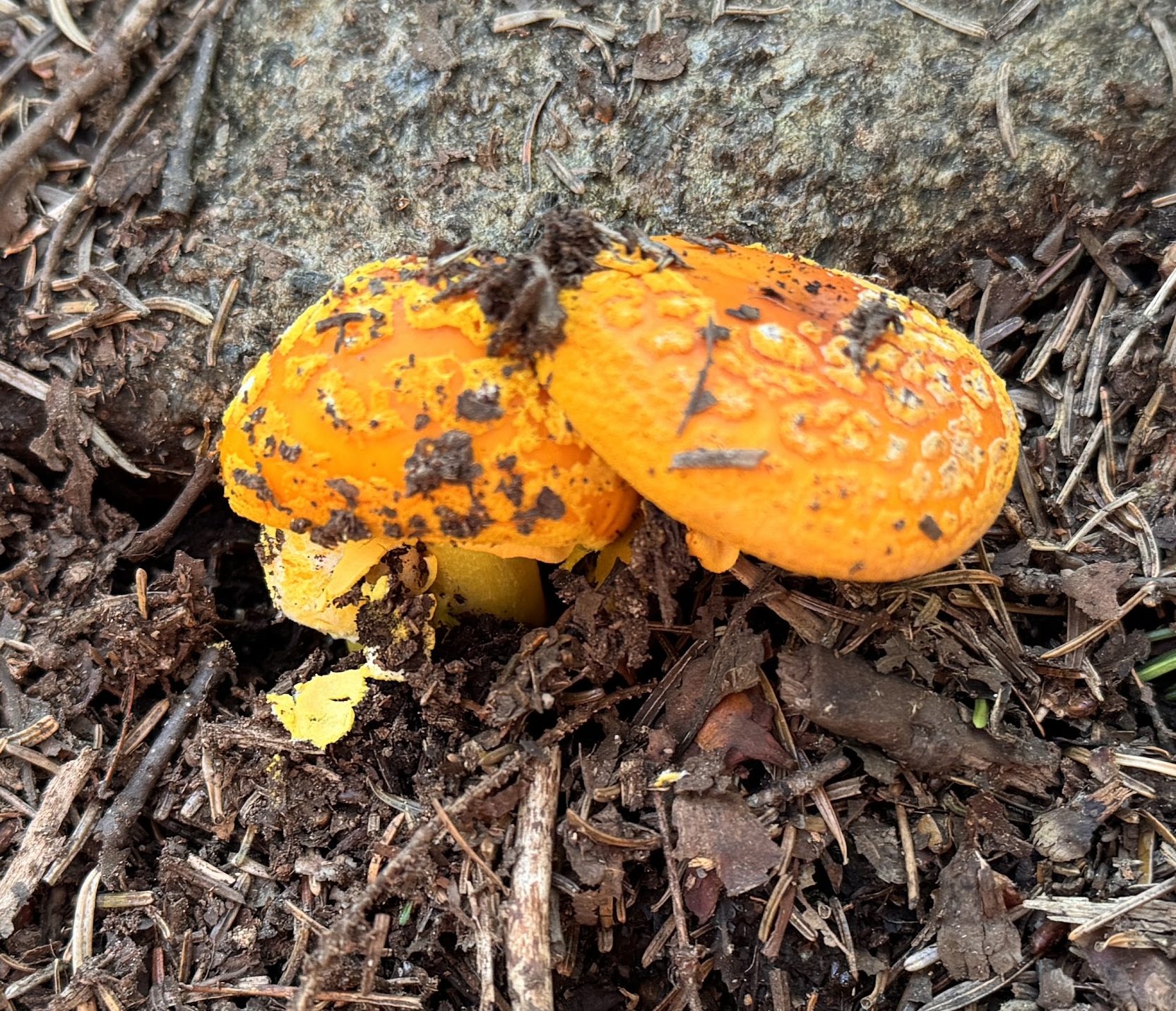
Check out these conjoined mushrooms!
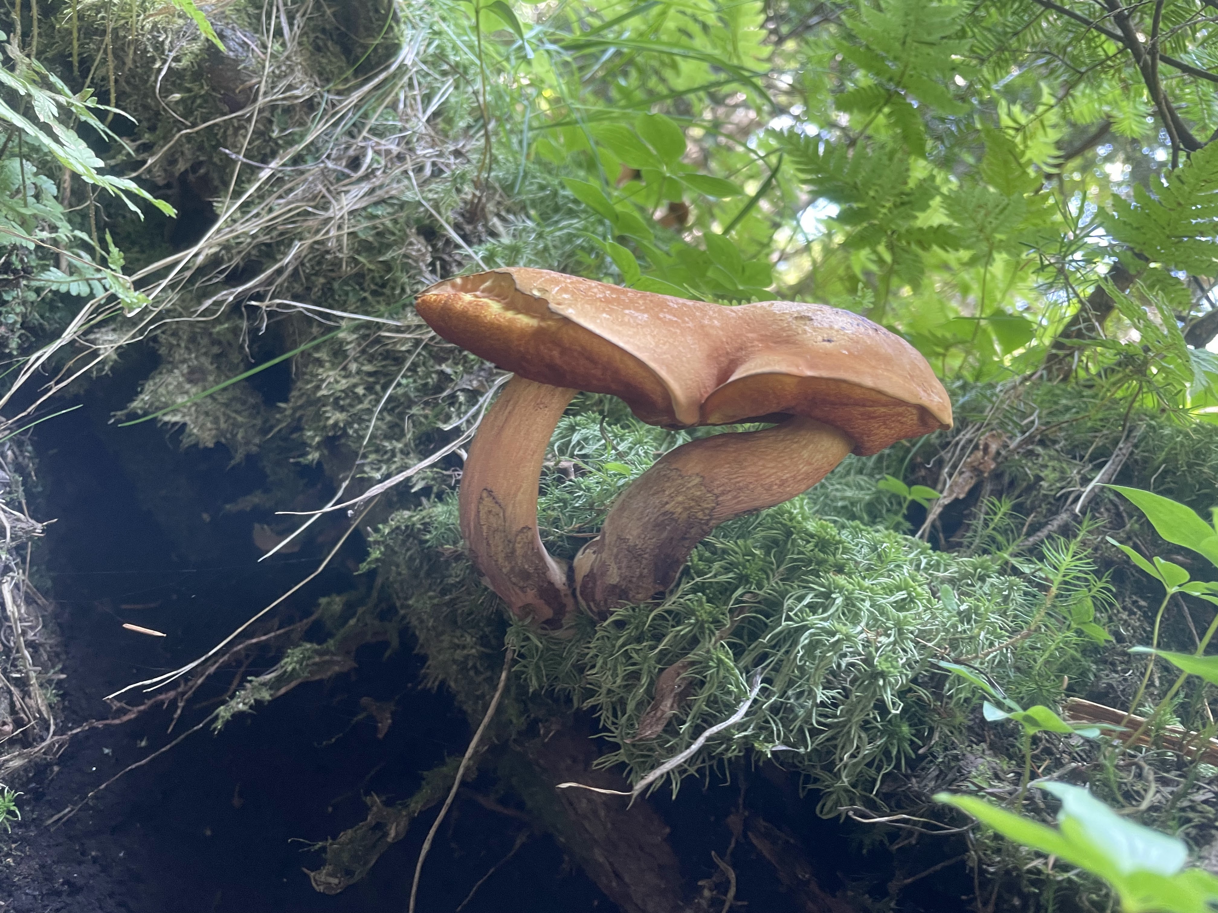
This time, we spent a lot more time in the brook itself, walking straight down the slide. It made the walk so much more enjoyable – highly recommend.
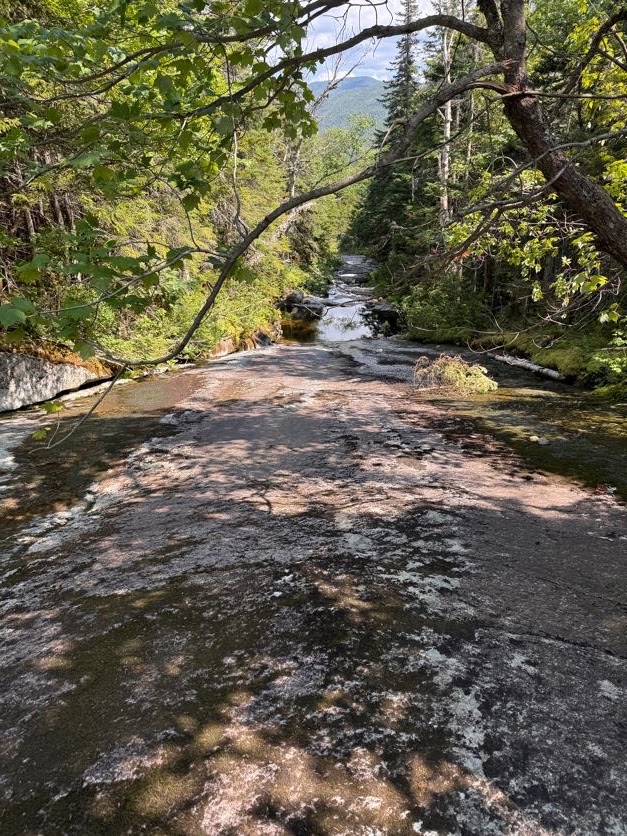
By 3:30, we were back at that first beautiful pool with a waterfall, and this time I spotted a FISH! A little trout in there, though I can’t imagine how it actually got there.
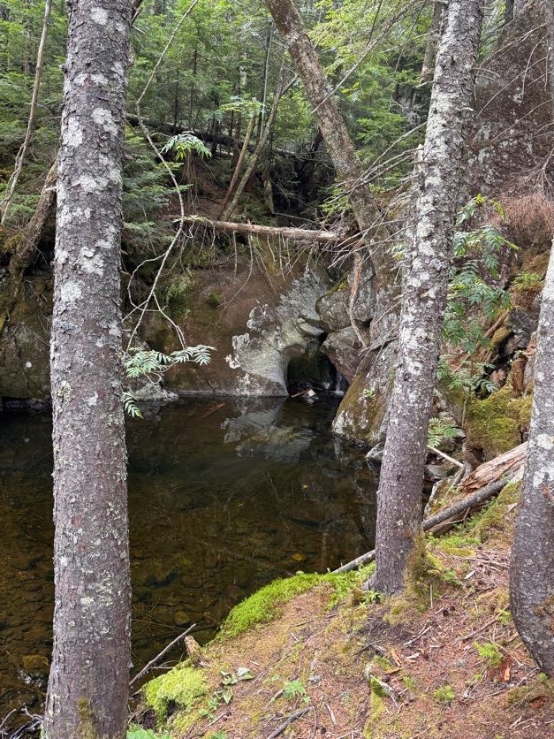
Then at 3:36 we were back at the junction. We didn’t linger and turned right to return the same way we’d come, back across the bridge towards the main junction.
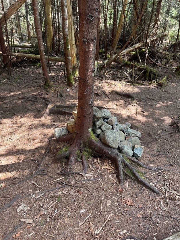
We reached the junction at 4:oo exactly, signed out, then promptly perished.
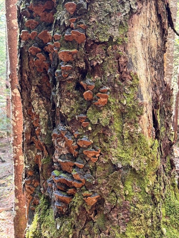
The 4.5 miles back to the trailhead felt like an eternity. But look! More mushrooms!
The first several miles are especially rocky and muddy. At one point I dared to TRUST A ROCK when both of my feet slid off at the same time and submerged themselves deep in mud. Dang it!
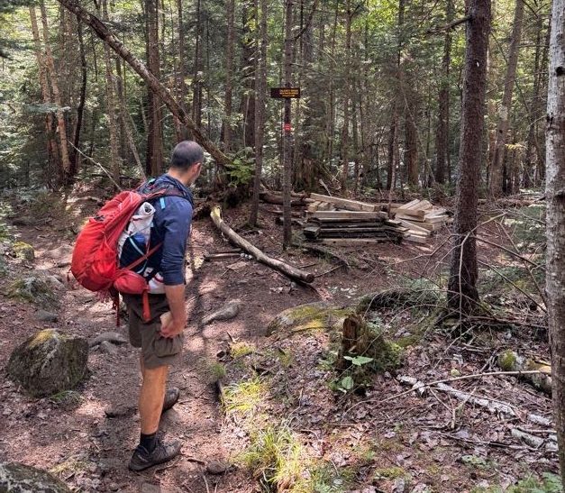
By 5:10pm we were back at the Calamity Brook crossing, hopping across rocks. And once again, I remembered to NOT TRUST ROCKS when I stepped on one and it tipped sideways in the water. RUDE.
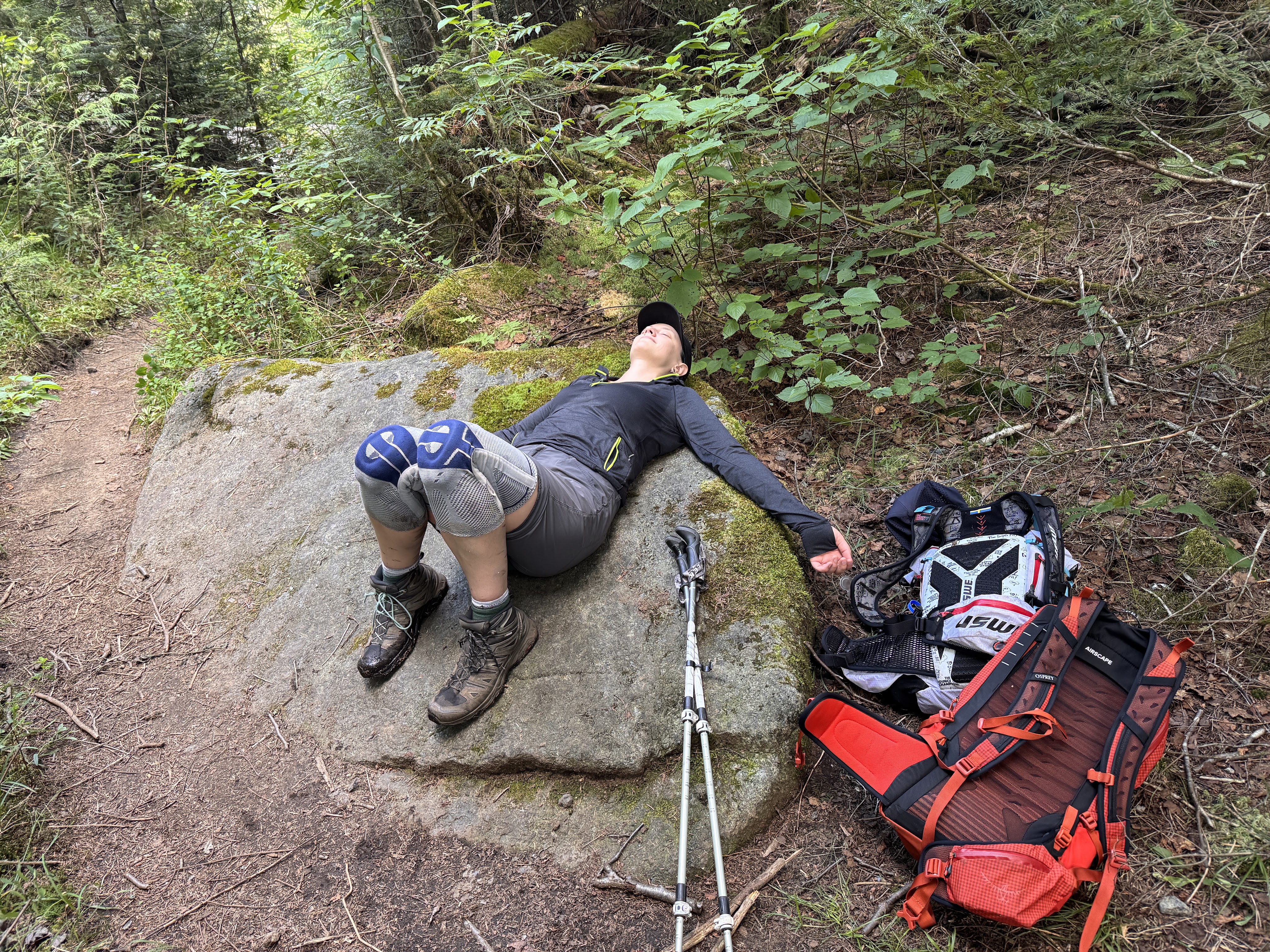
By now, I was in a lot of pain. I relied on my poles, pouring my weight into them, and counting the steps until we were done. I spent so much of this day in a bit of a daze – groggy in the morning, exhausted and fatigued later in the day, and in a lot of pain towards the end, only feeling sharp and clear following the dip in the cold water. All I can recall from the last few miles is how long they felt.
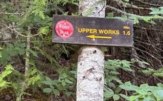
By 5:52pm, we reached the junction with 1.6 miles remaining.
We reached the next junction with Indian Pass about 30 minutes later…
10 minutes later we finally reached the register! We finished just short of 11 hours after starting, at 6:35pm.
We walked with stiff, aching legs back along the historical trail to where the car sat waiting. 43 down, just one hike remaining!!
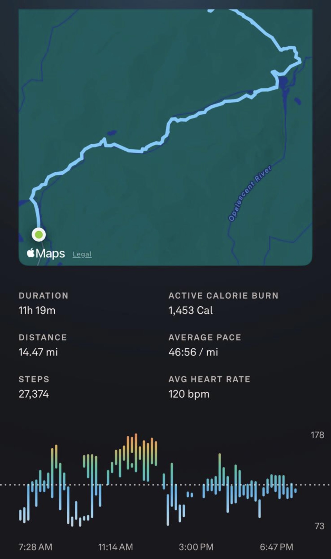
Mount Marshall: 4360′ Elevation Gain: 2890′
Total duration: ~11 hours
Total distance: ~14.5 miles
All images are property of adktrailtalesandtails and may only be used with express permission.

