June 17, 2026
5:00 am. We wake up, throw on our boots, and hit the road towards the Upper Works trailhead. The parking lot for Allen and Mt Adams is empty when we reach it at 7:30, a rare occurrence for a Saturday morning in the high peaks!
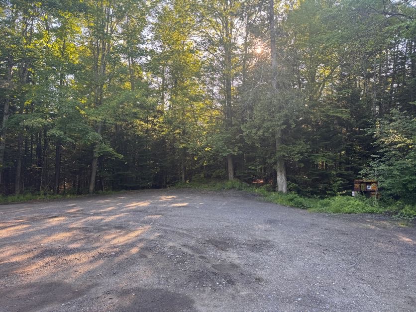
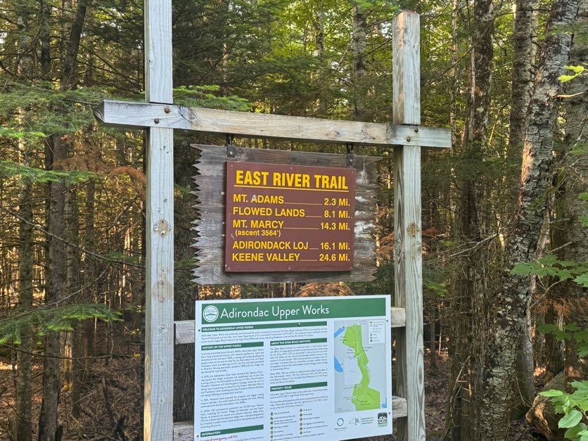
The map is actually very unclear for this particular route as far as distances go, especially the very first stretch (purple) that oddly is said to be just 0.7 miles….yet it looks longer than the trail up to Mt Adams (1.6 miles) and other longer sections of trail. The time it took us to walk it also didn’t add up to being just 0.7 miles – by our estimate, it’s more like 2 miles.
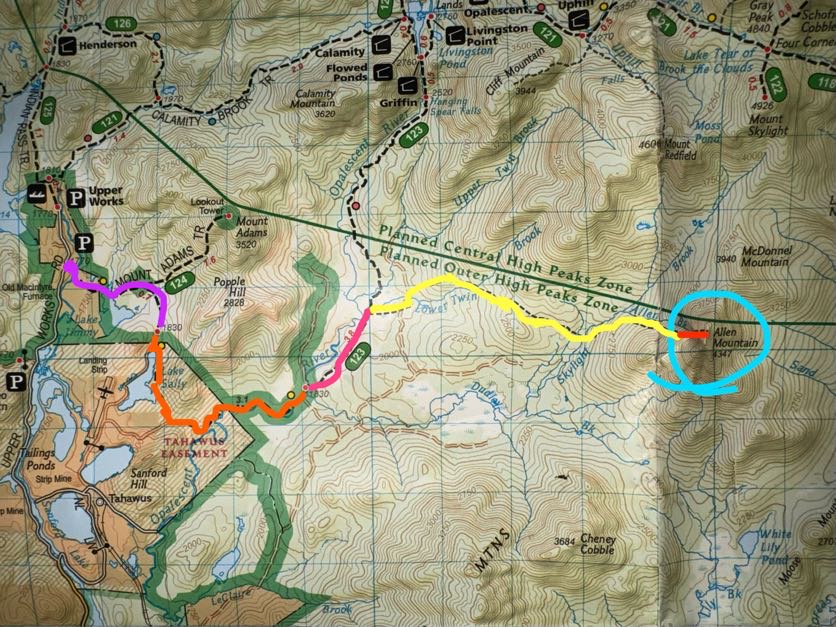
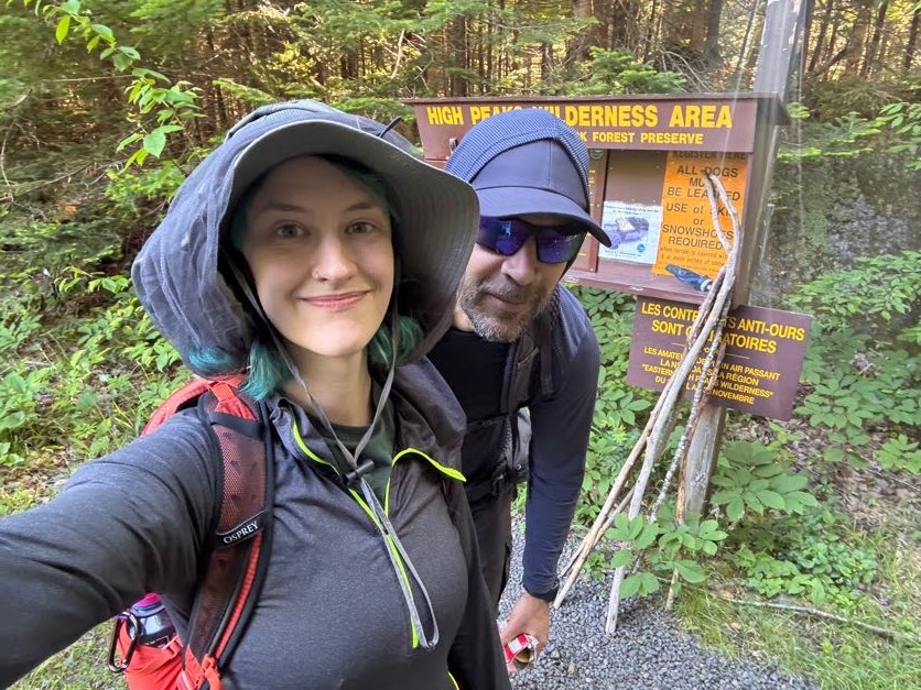
We signed in at the register at 7:50am and started on our way.
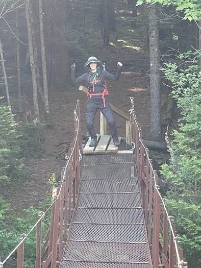
Literally 3 minutes later and we were at the first water crossing over the Hudson river, with a nice bridge
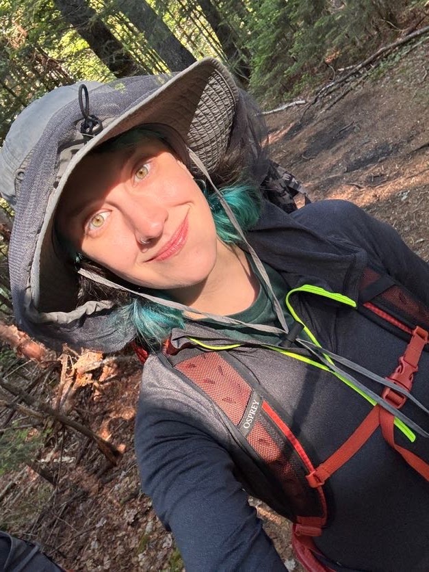
I was feelin goofy apparently.
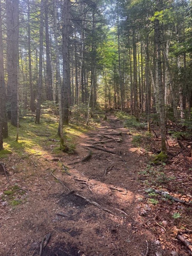
This was my first trip back to the Adirondacks in 2026. Last year I had several big trips that took my total up to 42 and I’m very determined to finish all 46 this year, so I was in pretty good spirits starting this hike – the trail and light filtering through the trees made me feel like I’d finally come home.
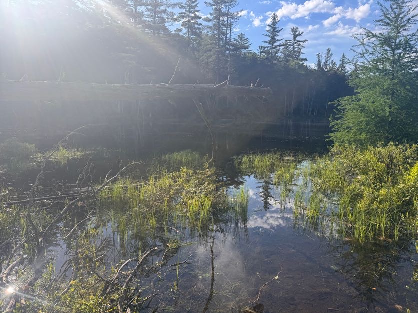
15 minutes after starting we skirted around Lake Jimmy, which on the map appears about halfway to the junction to Mt Adams. We stopped for a moment to admire the stillness of the water and look for bullfrogs (as you do) and noticed pieces of what looked to be an old bridge still floating around in there.
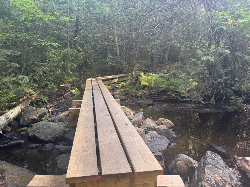
We were happy to see this nice walkway to carry us over the water and around the little lake. This wouldn’t be the case for too much longer but at least we could live in the delusion of having dry feet for a little while.
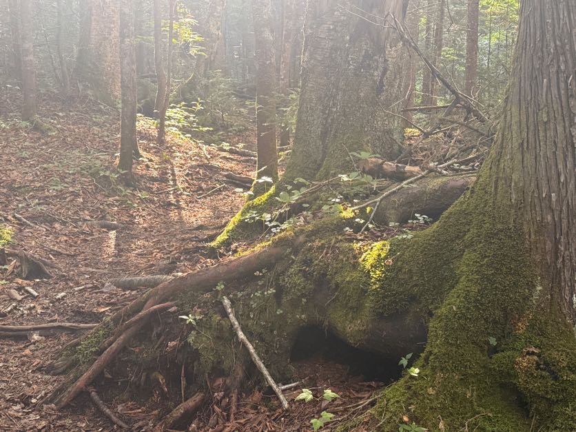
Despite wearing a bug net hat, long sleeves, and long pants, the mosquitos were chewing me uppppp. THROUGH the fabric! What’s the point of clothes if mosquitos can still bite you through them?! Anyway I stopped at this spot by the water to frantically bathe in bug spray – which in hindsight only seemed to season me in the eyes of the bugs – before shrieking in frustration and deciding to try to outrun them instead.
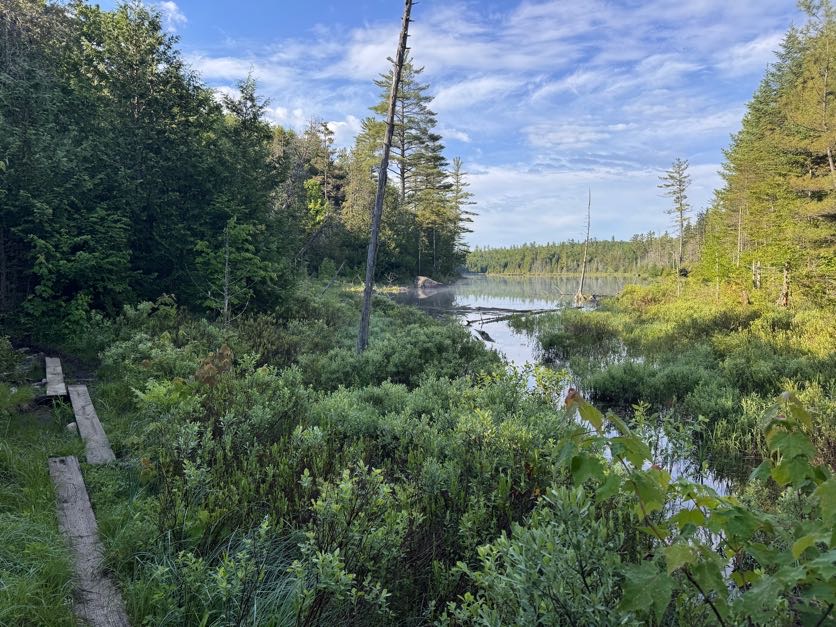
Between my stopping to take photos of pretty moss and soft morning light, and Gildo stopping to use his bird call identification app, I felt like we were going soooooo sloooooooow – because how could it POSSIBLY BE that the map shows the junction to Mt Adams at approximately 0.4 miles and it had been nearly 30 minutes and we still weren’t there?
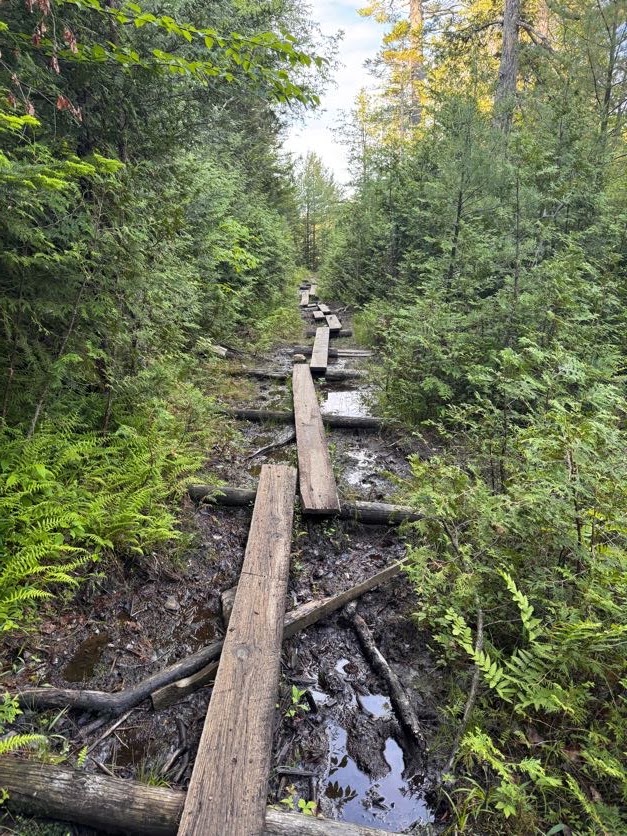
At 8:22 we reached the old ranger building. We’ve seen it before on a hike up Mt Adams so we didn’t explore it, but you can go check it out.
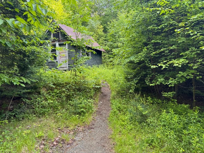
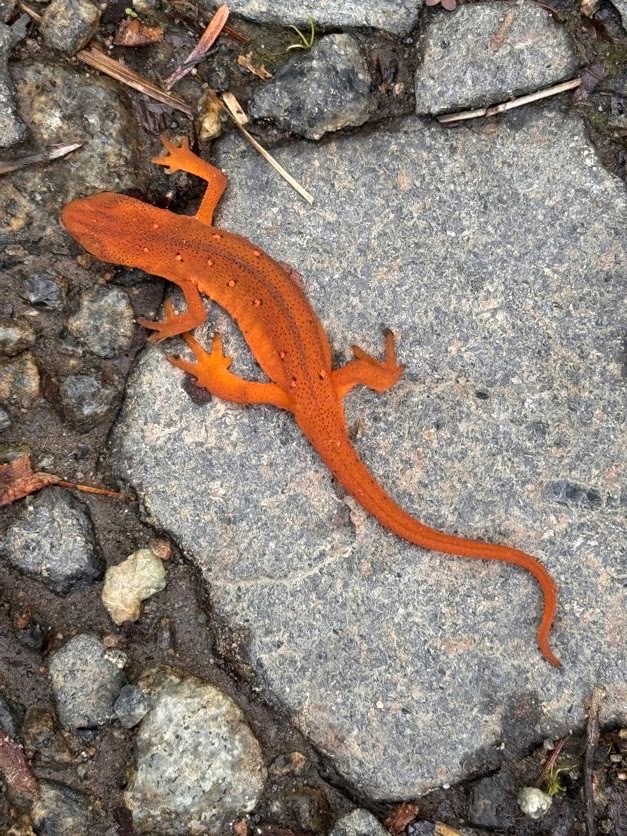
We spotted our first red eft newt on the trail! These guys like to come out when the trail is wet, I’m always looking out for them so I don’t squish em!
Just a minute or two after the ranger cabin is the junction to Mt Adams. It took us 35 minutes to reach. We stayed to the right to continue on towards Allen.
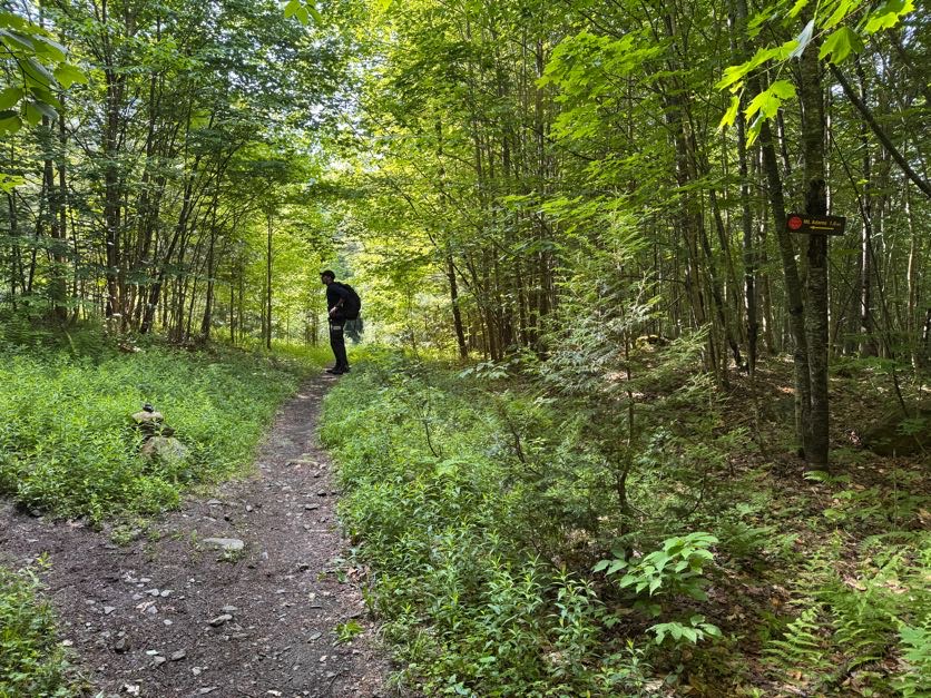
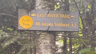
Just 4.9 miles to go to the Allen Mtn herd path!
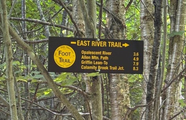
1 hour into the hike, we noticed something odd….A red dustpan, hanging in a tree. So…I have some questions that I don’t think I’ll ever get answers to…
At 9:04 – 1 hour and 14 minutes after starting – we reached Lake Sally
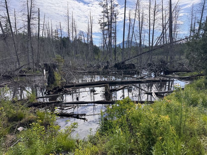
So somehow it took us an hour and 15 minutes to go just 0.7 miles? No way. That’s the pace if I’m climbing a ridiculously steep push to a summit, not a flat ground pace. So at the risk of sounding like a broken record, for anyone else planning this trek using the map that I have, I reallllllly don’t think that first 0.7 mile segment is correct. We generally keep a 2.5 to 3 mile/hour pace on flat ground like this, so it seems like the junction to Adams is at least 1 mile in from the trailhead, and the purple segment labelled 0.7 miles is more like 2 miles at least.
Just 10 minutes later, we had our first glimpse of the Opalescent river as the trail brushed against its banks.
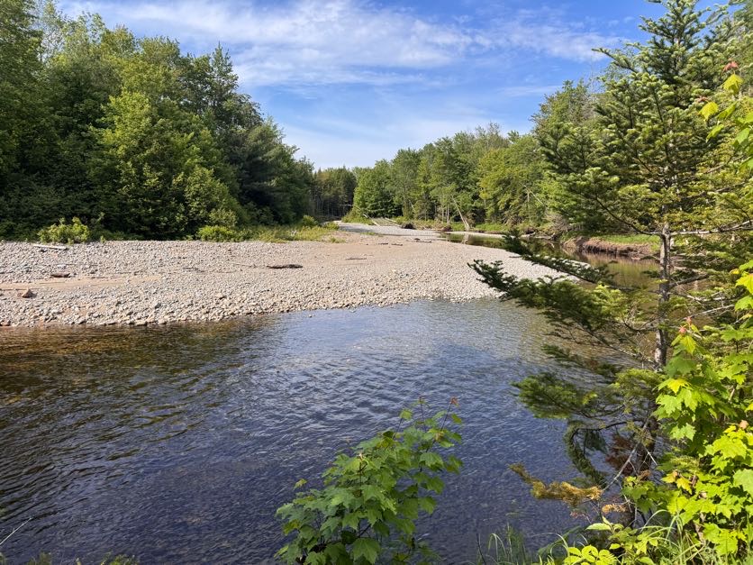
LOOK AT THIS MUSHROOM I FOUND! (Foot shown for scale)
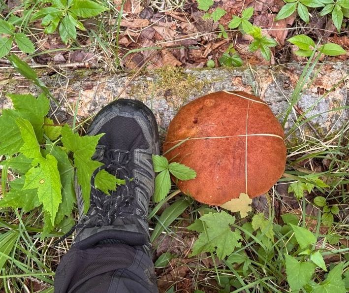
1 hour and 7 minutes and 3.6 miles after the junction to Mt Adams, we had reached the mighty Opalescent river. The water here can get pretty high in the spring or after heavy rains but we were lucky that it was manageable. We found a path across on the right which just involved 1 sketchy rock-hop across some fast-moving water.
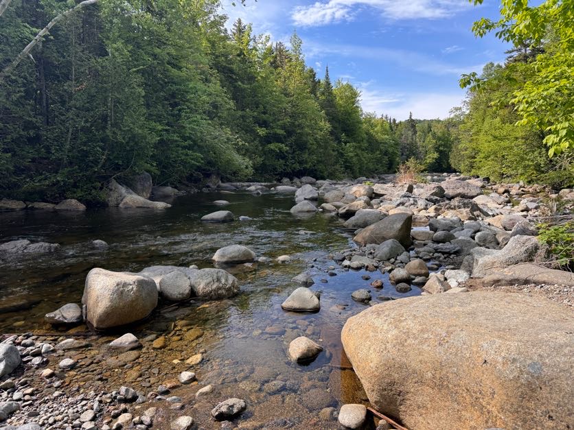
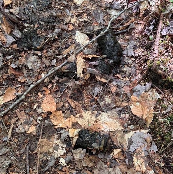
Somewhere along the way I remember Gildo saying so confidently “We’re gonna see a bear today.” To which I replied “What?!?” He said he just had a feeling. Well, we didn’t see a bear, but we did see some fresh bear poo right in the middle of the trail! It ended up becoming a landmark for us on the hike back down – “Did we reach the bear poo yet?” “No, we still have 20 minutes to reach it”. Add it to the map, I say!
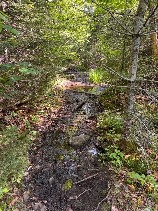
By 10:00 the trail had become muddy, narrow, and overgrown. I thought I was doing Gildo a favor by walking in front with my bug net hat so I could catch the spider webs, but given that he stands a full head taller than me….well, it’s the thought that counts, right?
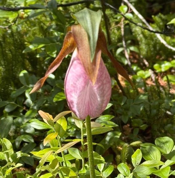
At some point something possessed me to look to the right and I was absolutely rewarded with TWO lady slipper orchids growing in the moss!! These are a rare find, it feels like such a gift from the forest to have spotted them.
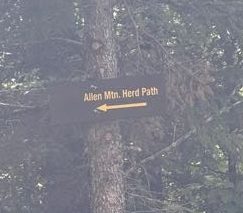
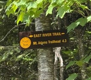
At 10:30am we reached the herd path to Allen. This one has an actual sign, so no need to worry about missing a cairn or some small indication of the trail.
A few minutes later we reached a clearing with gravel. I made sure to turn around to know what it would look like when we returned so we wouldn’t get turned around here, but it was pretty obvious where to go. We passed right through and carried on.
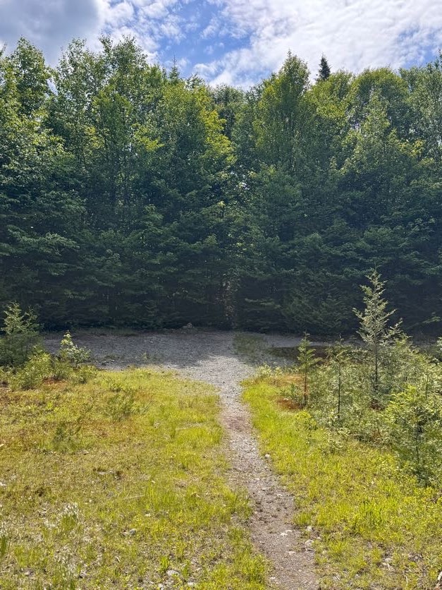
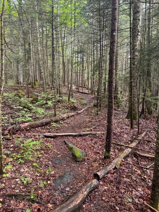
On the herd path, the terrain is still relatively flat and easy to navigate for the next ~4 miles…
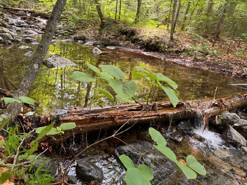
Though the mud did present some unique challenges!
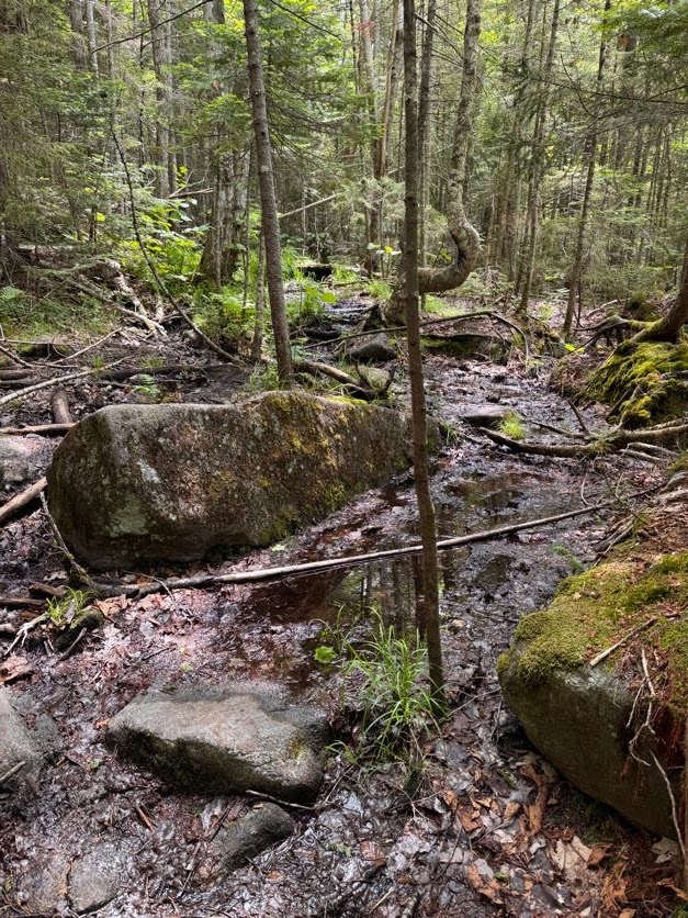
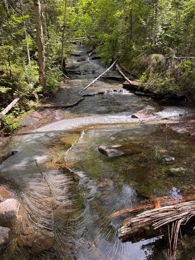
At around 11:45 we started to get some rain. We donned our rain jackets and just kept on going.
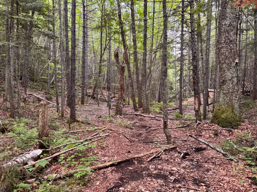
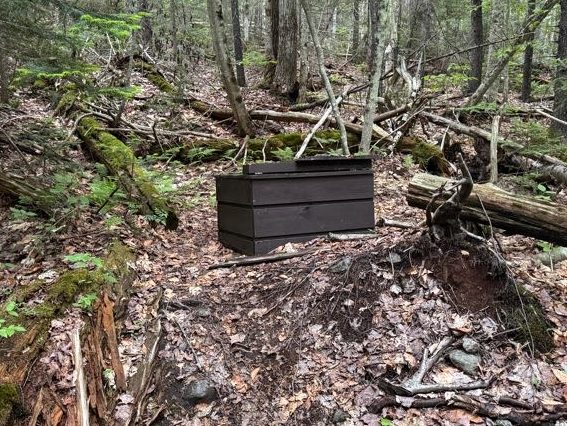
And we found a potty! Just randomly out here 6 miles into the wilderness.
At noon we reached the first of two stream crossings just before the ascent up Allen.
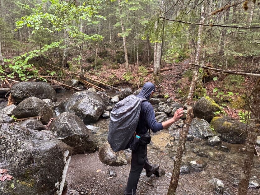
Fortunately these were a whole lot easier to manage than the Opalescent!
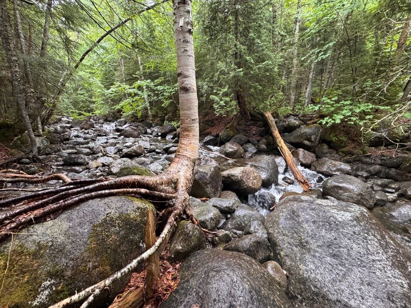
Shortly after noon, we were both feeling sooooo tiiiiiiired. I had actually looked at some of the lush moss growing on the side of the trail on the way up thinking it would be such a nice spot to have a nap. It had been over 4 hours of hiking already and we’d barely started climbing the actual mountain. We stopped for a bite to eat and to encourage our legs before starting the climb.
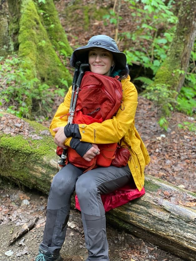
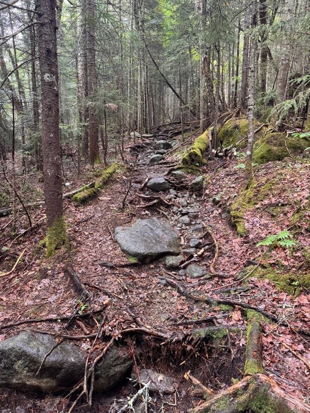
At 12:45 we had our first encounter with the infamous red slime on Allen Brook. Even better that it had been raining! I put my foot on a rock to cross the stream and my foot slid right off the rock – to which I declared “oh it is ESLIIIIIIIIIMEY” with a slight southern twang for no particular reason, and I couldn’t stop saying it the entire rest of the day.
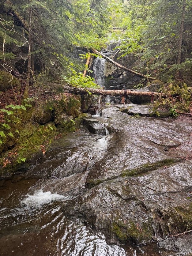
Now THIS looks like an Adirondack trail.
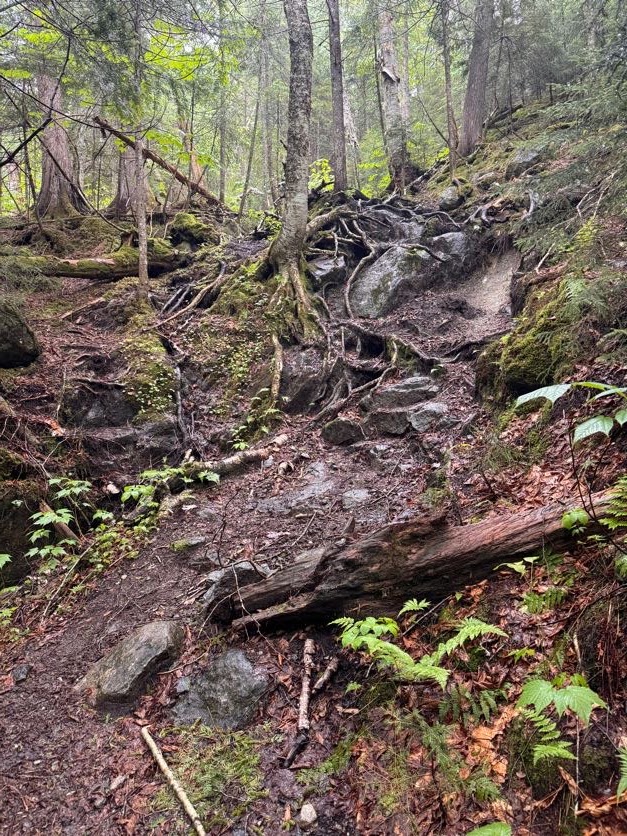
The climb up this creek is no joke when it’s dry; but when it’s wet? Game over. It was actually comical how slippery it was and how slow we had to go to navigate our way up.
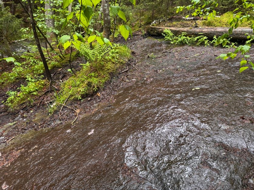
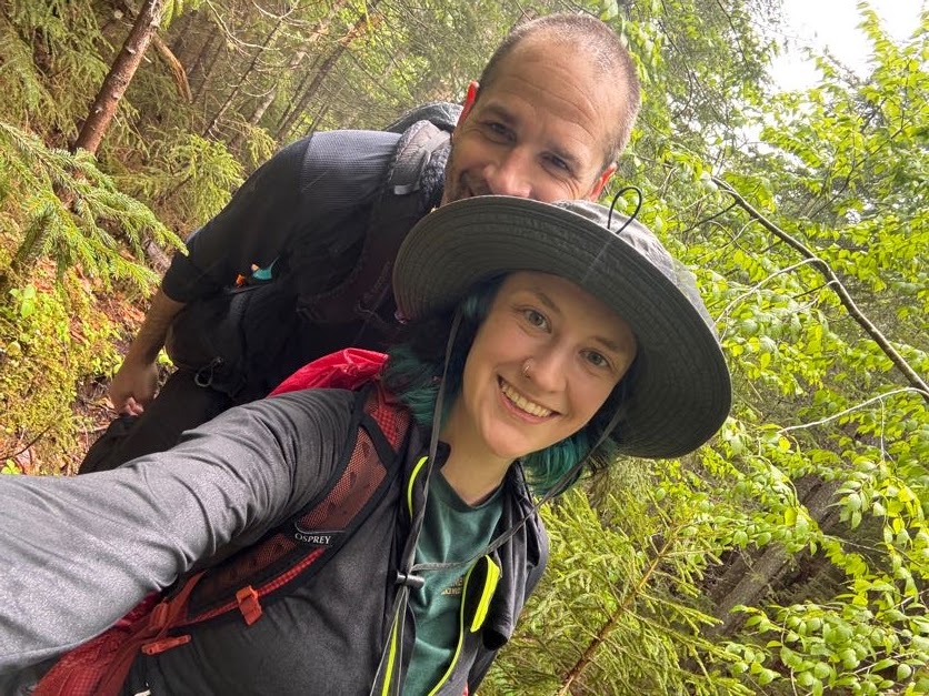
At about 1 pm, I hopped across the creek for the millionth time to where Gildo was waiting for me…..and landed my left foot in some deceptively muddy moss such that I sank in to ankle! I let out a yelp and Gildo helped me unstick my foot. But he was giving me this look like ‘you dummy, how did you manage to do that?’, or so I thought, until he said ‘Didn’t you see me just do the same exact thing?’ and when I looked at his identically muddy foot, I couldn’t stop laughing.
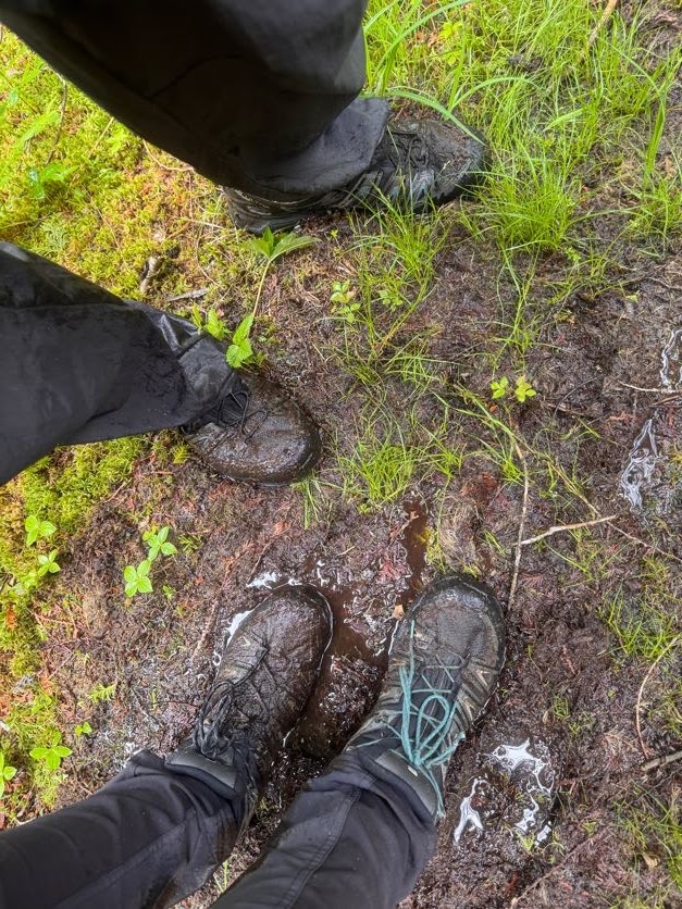
I mean it just does not look like the quicksand that it is at first glance.
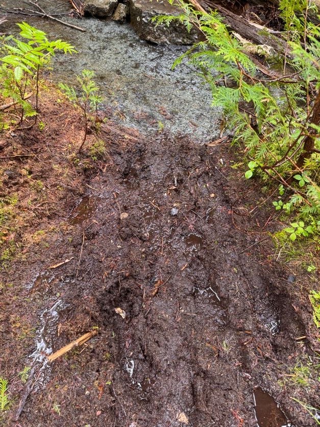
A brief respite on solid ground…
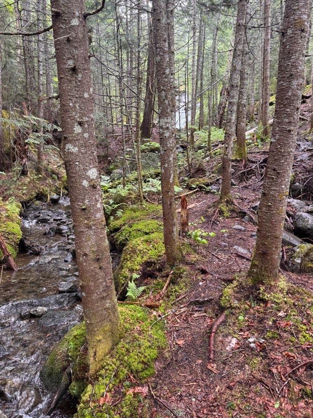
And then right back at it! The entire surface of this rock is coated in a type of algae lovingly referred to in the hiking community as ‘Red Slime’. I decided the only way up was to practically slither my slimy self right up the rock, clinging to roots along the way.
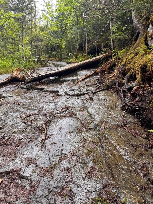
Aren’t you impressed by my athletic prowess? Now the bug net hat was great for keeping bugs away from my face, but the problem with it is when you’re climbing up a steep incline, using your hands, looking down, is if there’s a branch hanging low across the trail, you just might whack your head straight into it. I rang my bell pretty good once, and after doing it the second time I said to Gildo “No matter how obvious it may look, just assume I don’t see any low hanging branch and let me know please!”.
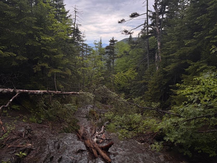
At 1:40pm we got our first view of the day.
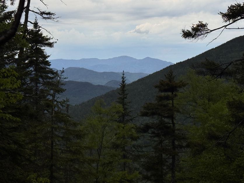
And then back at it.
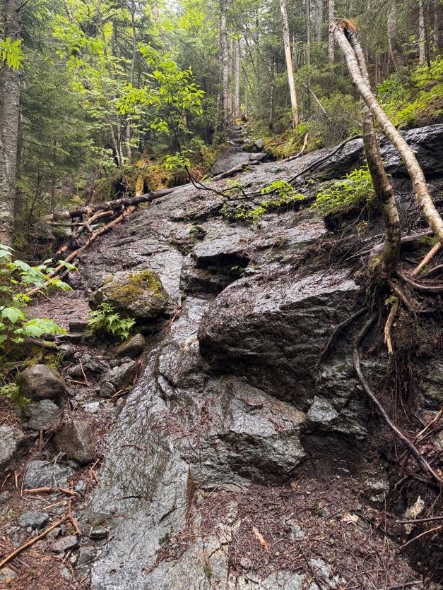
At one of the little waterfalls was a cairn – but now I can’t remember which one. At any rate, that’s the “1 mile to the summit” marker!
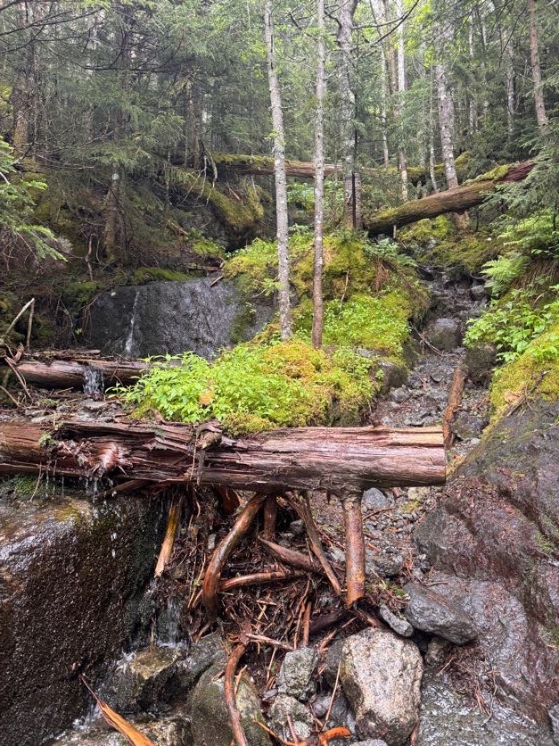
As we climbed we were grateful that the storm clouds seemed to be moving on, affording us some lovely views and hopefully drier conditions on the descent.
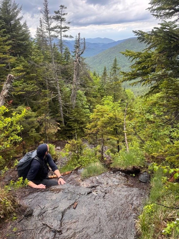
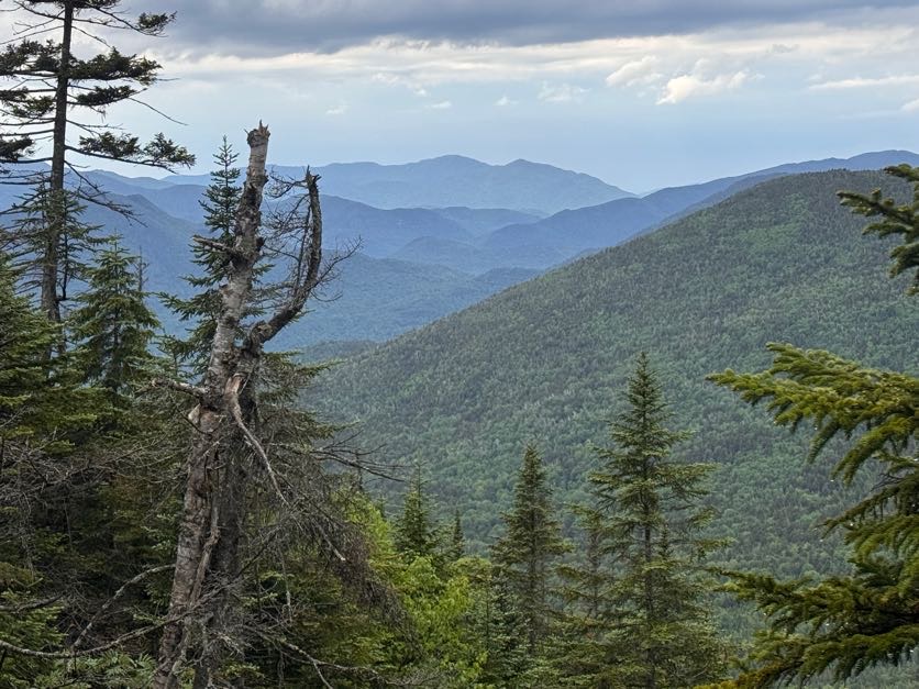
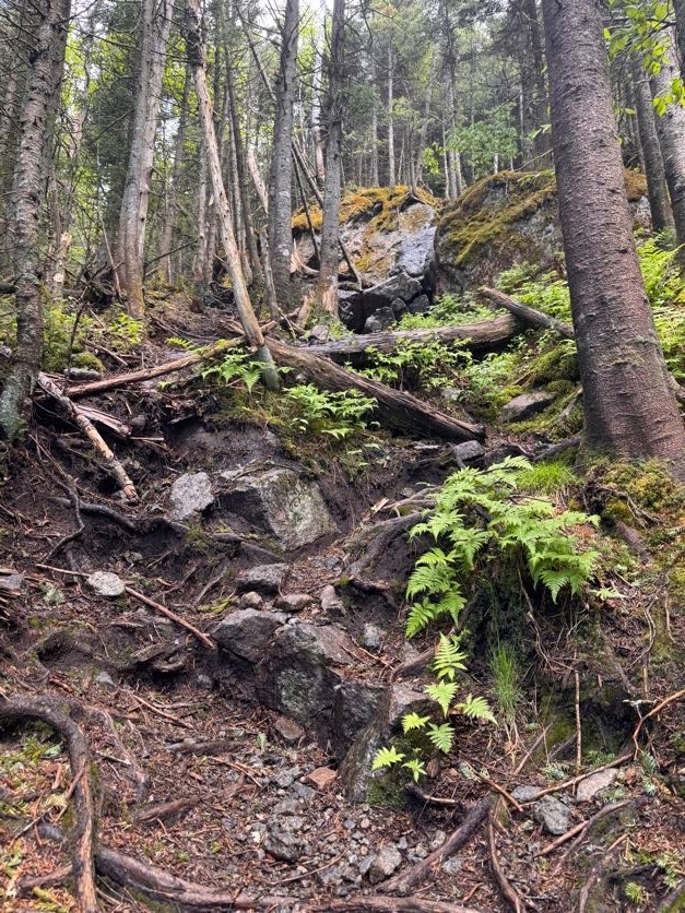
Ok HERE IS WHERE WE MESSED UP. I did not know that when you get to the slide, you should stay to the left and not go straight up the slide like a couple of buffoons. Guess what we did!
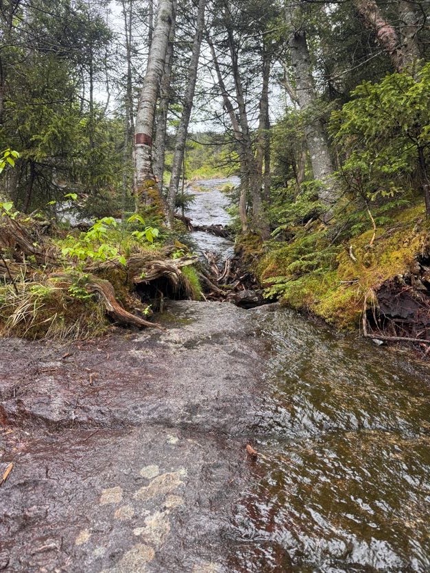
It was impossibly difficult but also hysterical. We had such a good time clawing our way up, laughing and pointing out the ESLIIIIIIIIME.
So just to reiterate – don’t climb up this way. Be smart. Go to the left and go aroooound the slide, not straight up it.
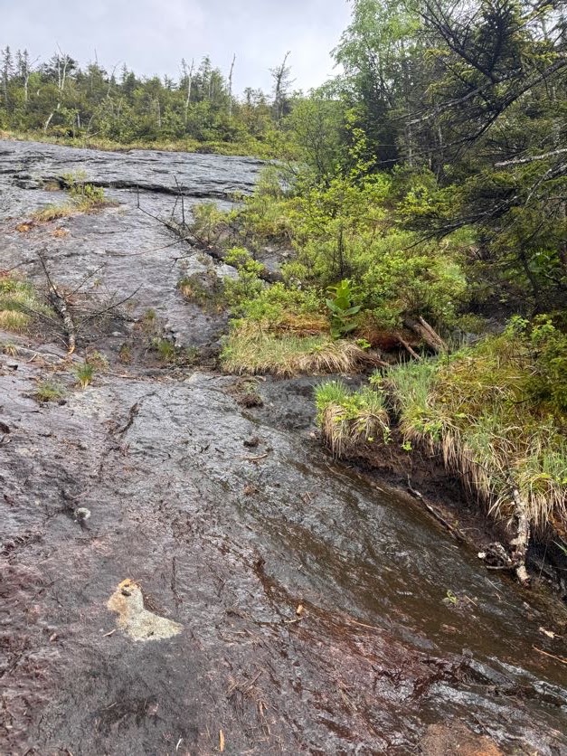
It did give us some pretty nice views though.
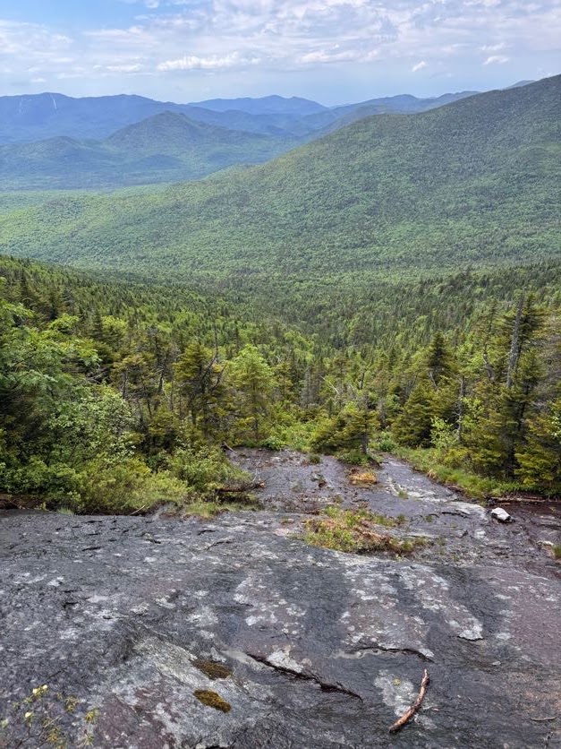
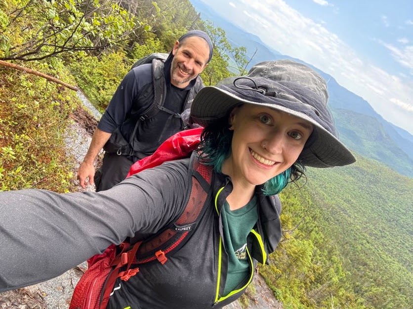
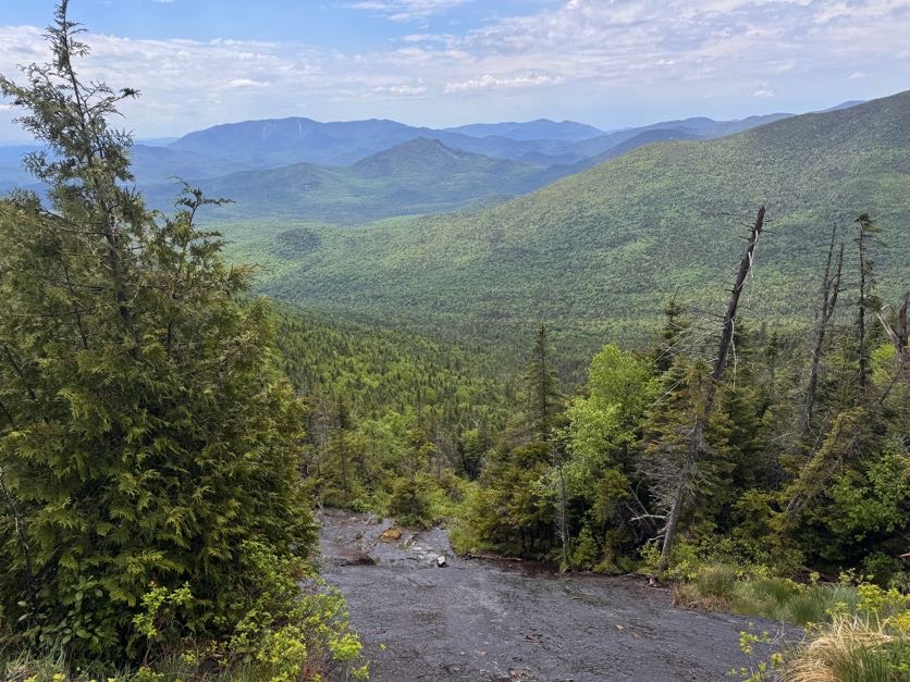
At 2:30 we thought we’d just about made it to the top, but no. We had to continue on through the woods a little while more.
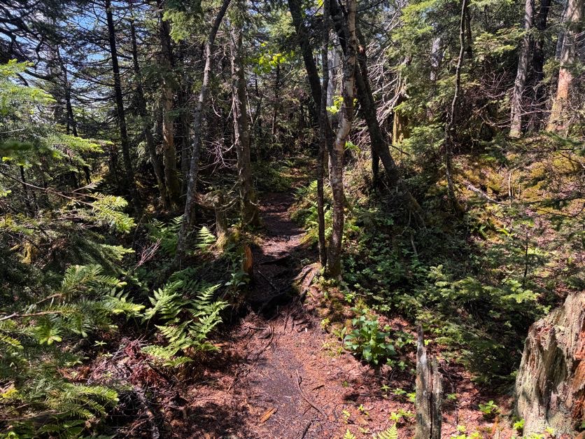
And then 15 minutes later, WE WERE THERE!
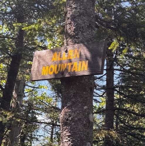
I stripped off my soaking layers without a minute to spare. Even though rain had stopped, the trail was so narrow with overhanging pine boughs that we we continually drenched the entire time.
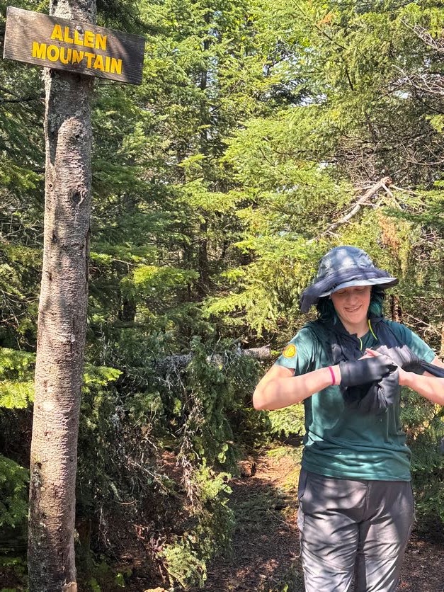
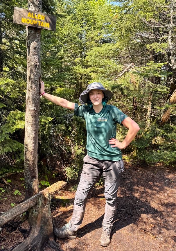
We hung out just long enough to snap a few pictures to celebrate #42, then we walked back down the trail to the overlook to rest our legs and enjoy some lunch.
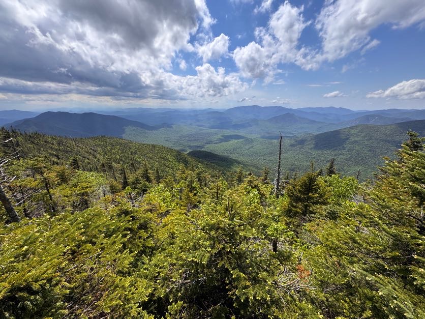
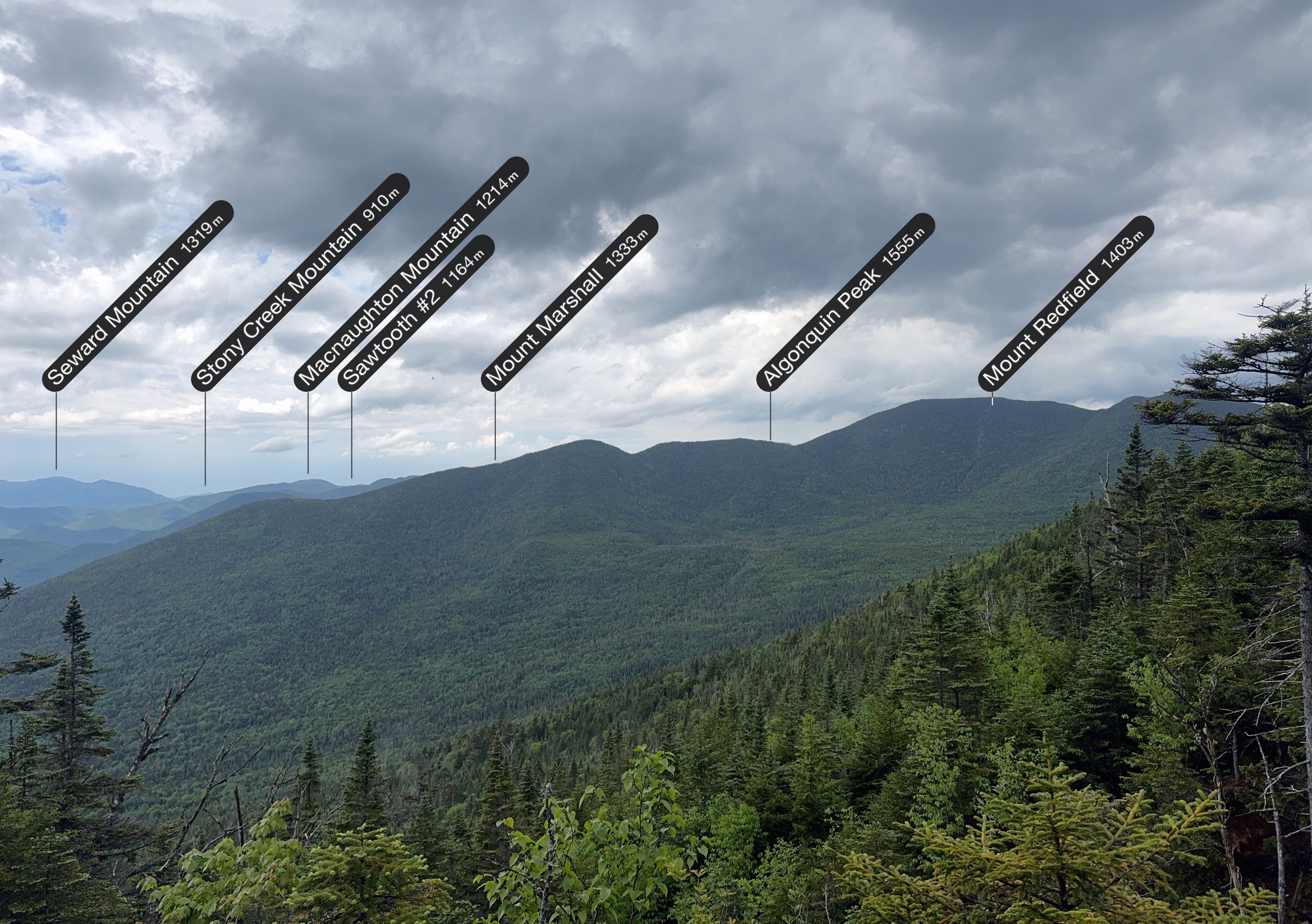
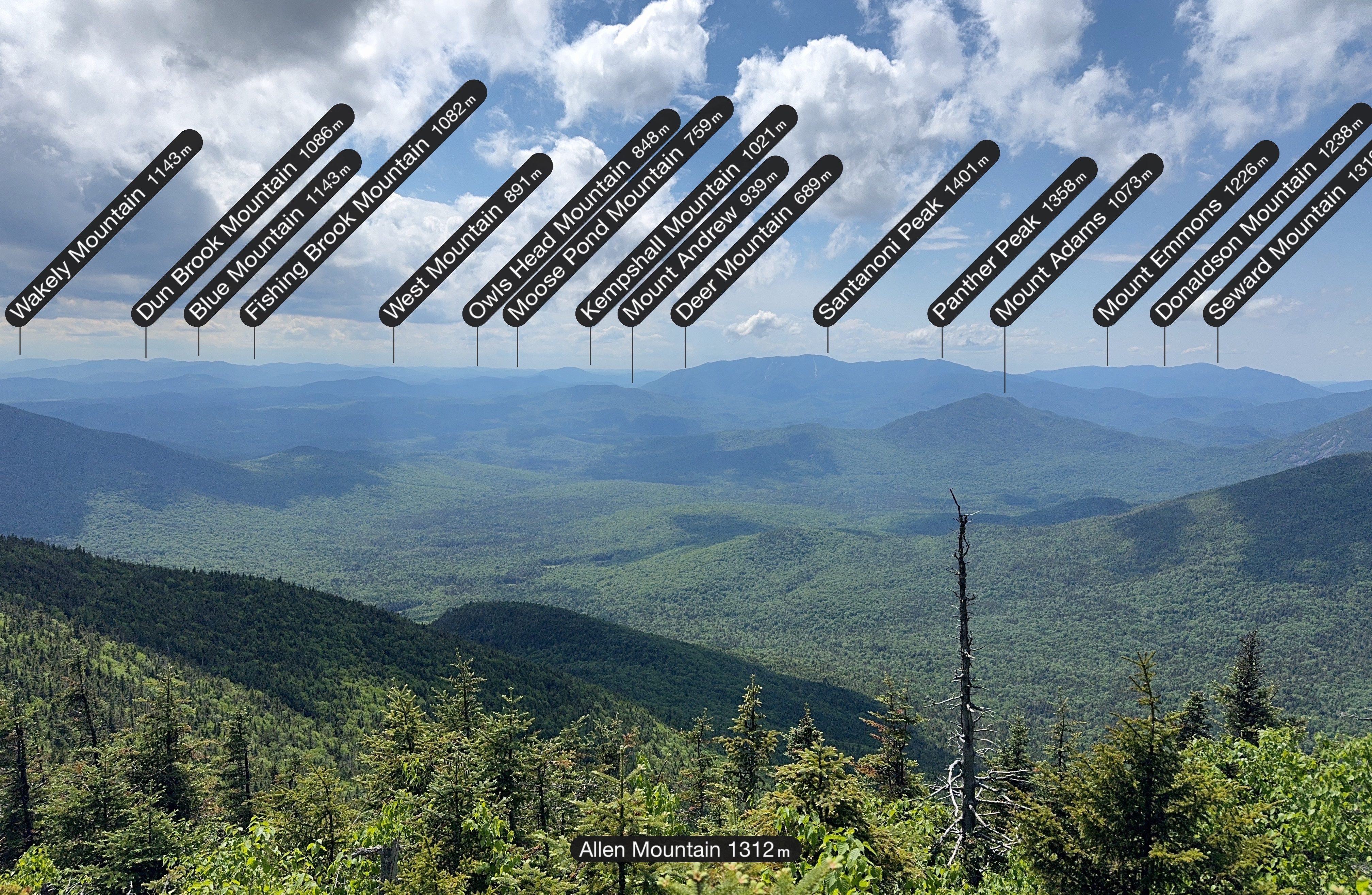
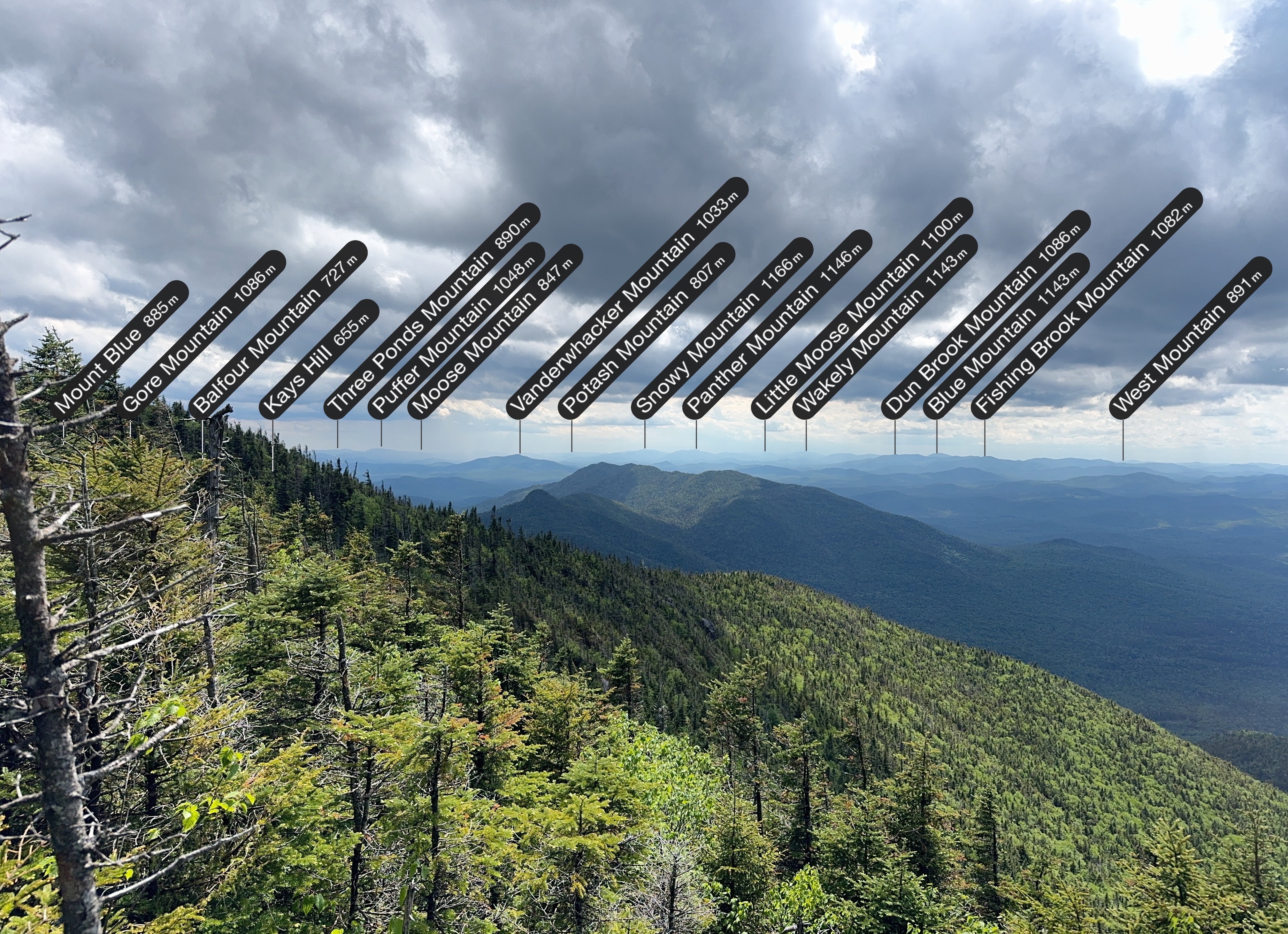
It’s so cool to use the PeakFinder app to see what all the mountains in the distance are, and even cooler to see how far away Mt Adams looks – we walked right by it on the way to Allen!
The rain definitely introduced a special kind of challenge on this mountain, but look how the view was with the mix of dark and light clouds overhead, and rain in the distance towards the left.
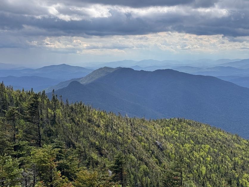
And some more mountain labels for good measure.
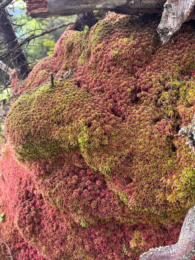
We lingered there for 30 minutes or so, then decided we’d better get going, and started back the way we came. Going down was way easier than going up, so I was able to take in more of the surroundings, like this AMAZING moss on the side of the trail.
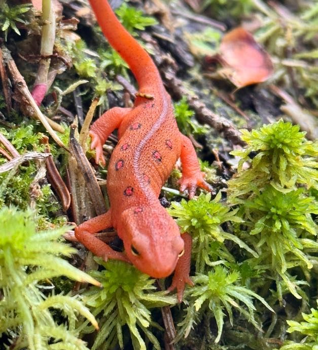
AND I got this glamour shot of the cutest little newt around town.
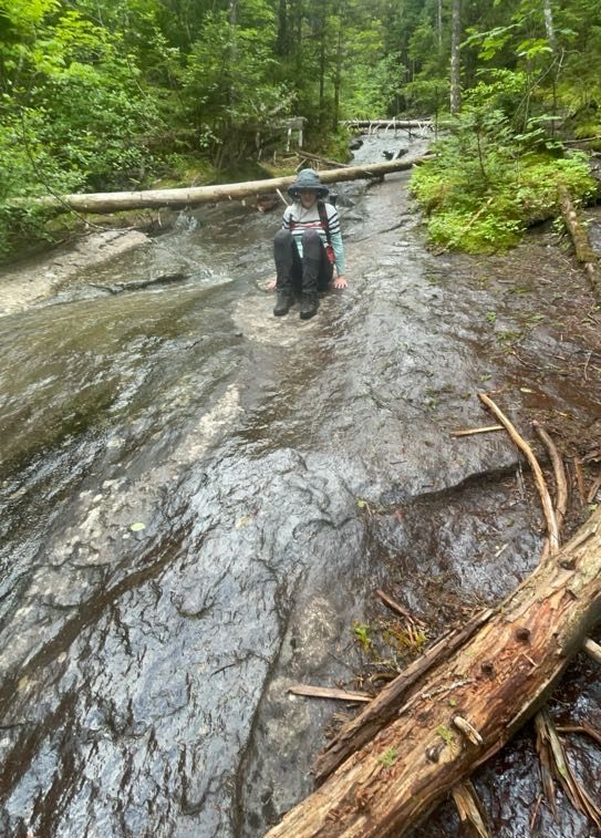
I often chose the crab scoot technique coming down the ESLIIIIIMEY slides – it was so slippery that sometimes there was no stopping myself once I started.
And it wasn’t just the rocks that were coated in red slime, even the logs – now slick with rain – were just as slippery. I know better than to step on one, but when I was lowering myself down from one particular ledge and put my hand down on a smoooooth log, my hand shot straight off the end of it and I exclaimed “YOU are one slippery motherFLUFFER!” (only I didn’t say fluffer). Gildo heard my conversation with the log from further down the trail and we both lost it in laughter.
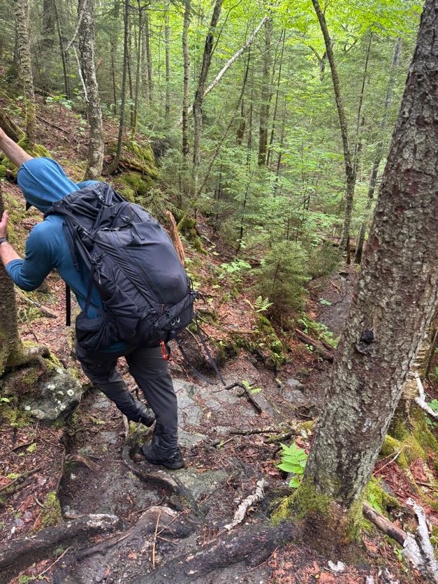
It took about 2 hours of careful descent to reach the waterfall once more.
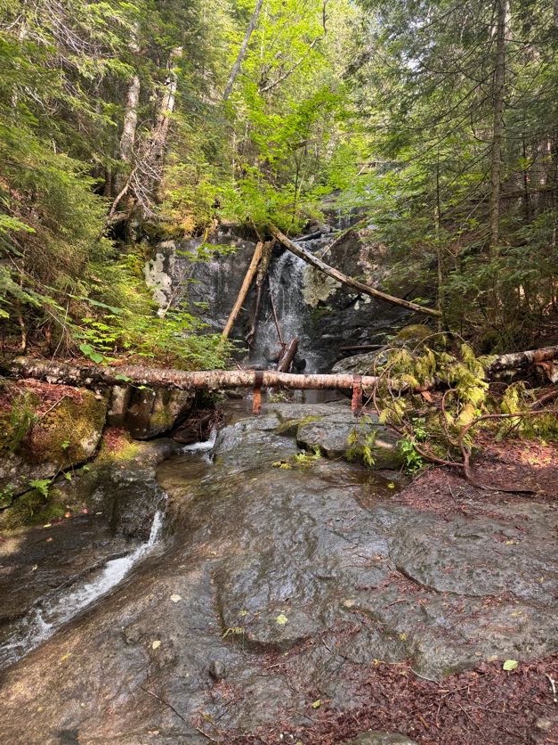
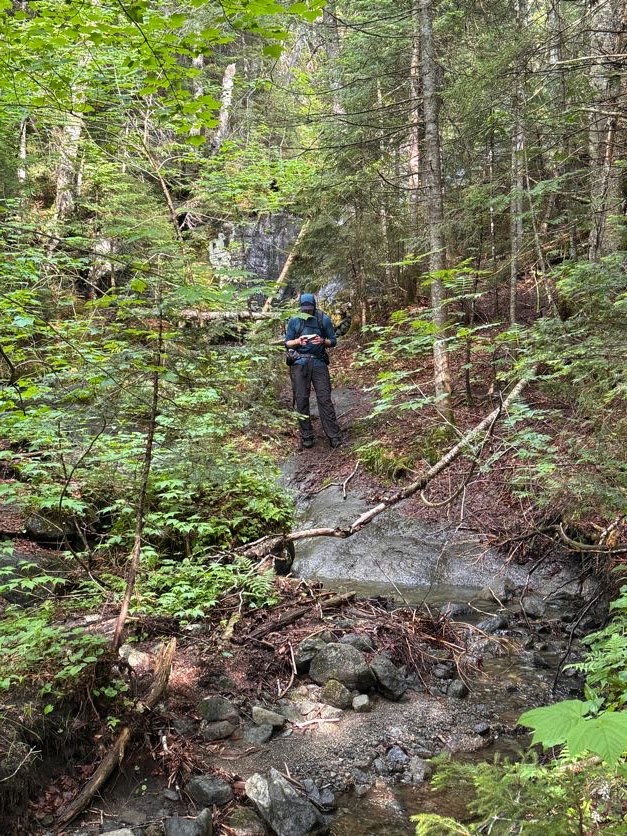
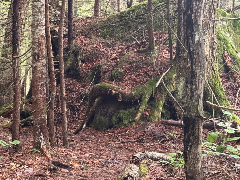
Great – just 8 miles left to go. It’s funny where the mind goes; we both saw the tree roots in the image below and thought it looked like a person sitting there with their legs crossed.
From the bottom of the waterfall, the 8 miles back to the trailhead are a piece of cake – mostly flat, easy walking by comparison.
At 6:45, a bit over 3 hours after leaving the summit, we once again reached the gravel clearing and passed straight through then to the left to stay on the trail.
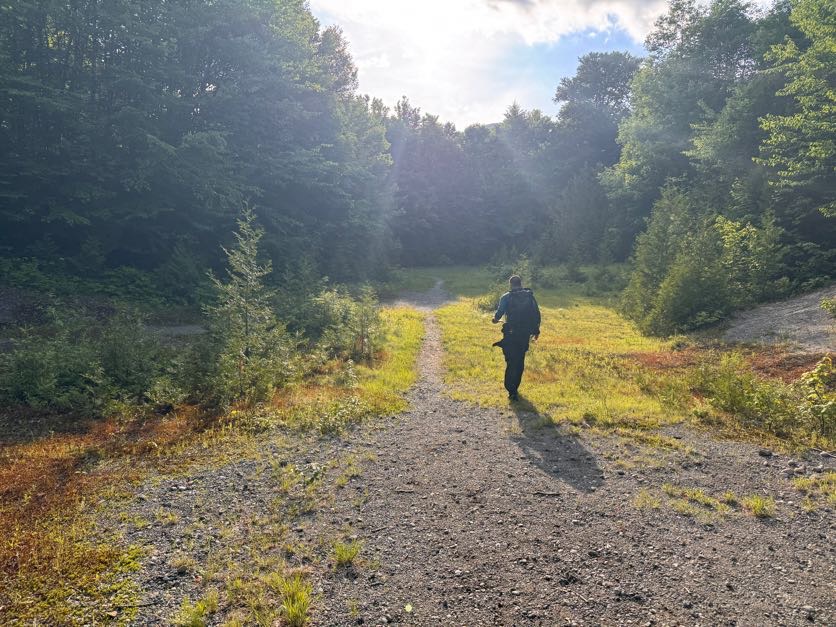
10 minutes later and we were back at the junction with the main trail – 5 miles to go back to the trailhead!
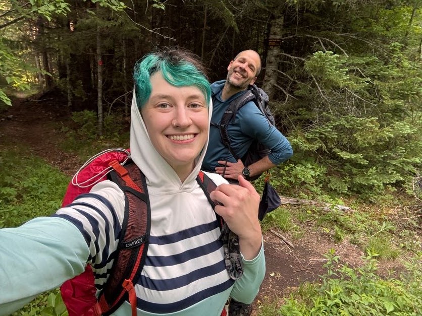
30 minutes later we were back at the Opalescent river crossing, having to rock hop once more but with tiiiiired legs this time.
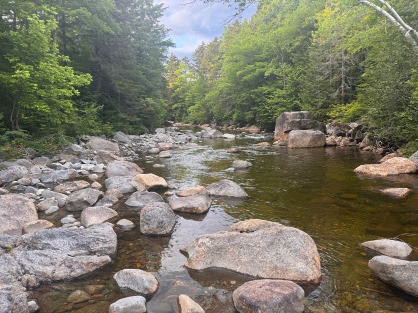
This is a really nice trail, but it did admittedly drag on and on at this point. I was starting to get some pain in my knees with several miles still left to go. We played word games like “Guess what animal I’m thinking of” to pass the time, but at some point we were both so gassed that we couldn’t spare a single brain cell to play games anymore.
An hour later, at 8:30pm, we reached the junction with Mt. Adams. We were booking it this time despite the pain to cover as much ground as quickly as possible.
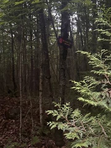
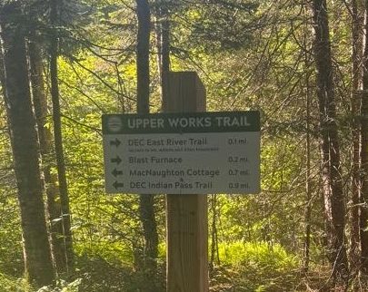
20 more minutes brought us back to the bridge. I was so grateful to see this sign! My legs weren’t cooperating with me at this point, but fortunately I had the best sherpa in the world there with me to carry me down the steps from the bridge.
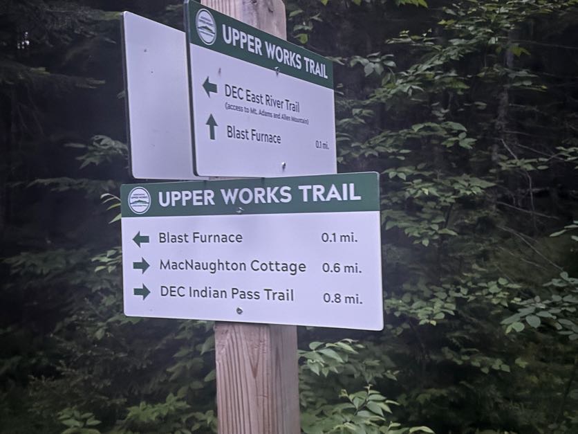
Not even 5 minutes later we were back at the trailhead, right at 9pm.
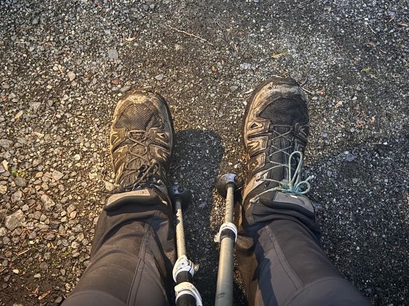
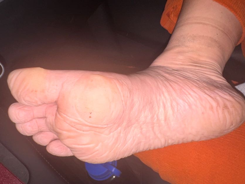
The feet took a beating this trip – they were wet for most of the day from being submerged in mud so many times. It felt sooo good to peel those stinky wet socks off my skin.
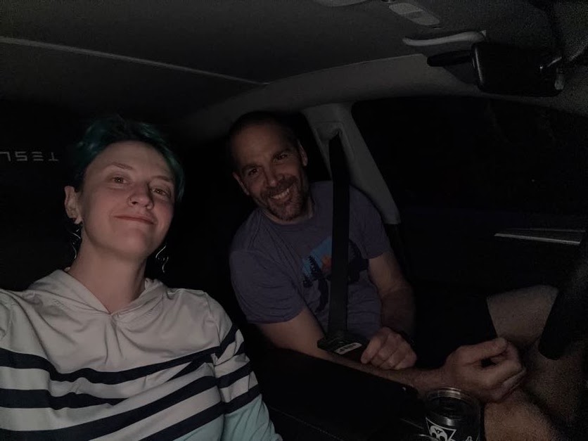
And that’s that! 42 down, 4 to go – just 2 trips remaining!
Allen Mountain: 4340′ Elevation gain: 3510′
Total duration: 13 hours
Total distance: ~20 miles
All images are property of adktrailtalesandtails and may only be used with express permission.


Wow! What a slog, you guys! Love your photos and always your narrations! You must have been totally beat after that, and then driving home? Yikes!
LikeLike
It was a looooong day, but honestly really enjoyable!
LikeLiked by 1 person