8/16/2026
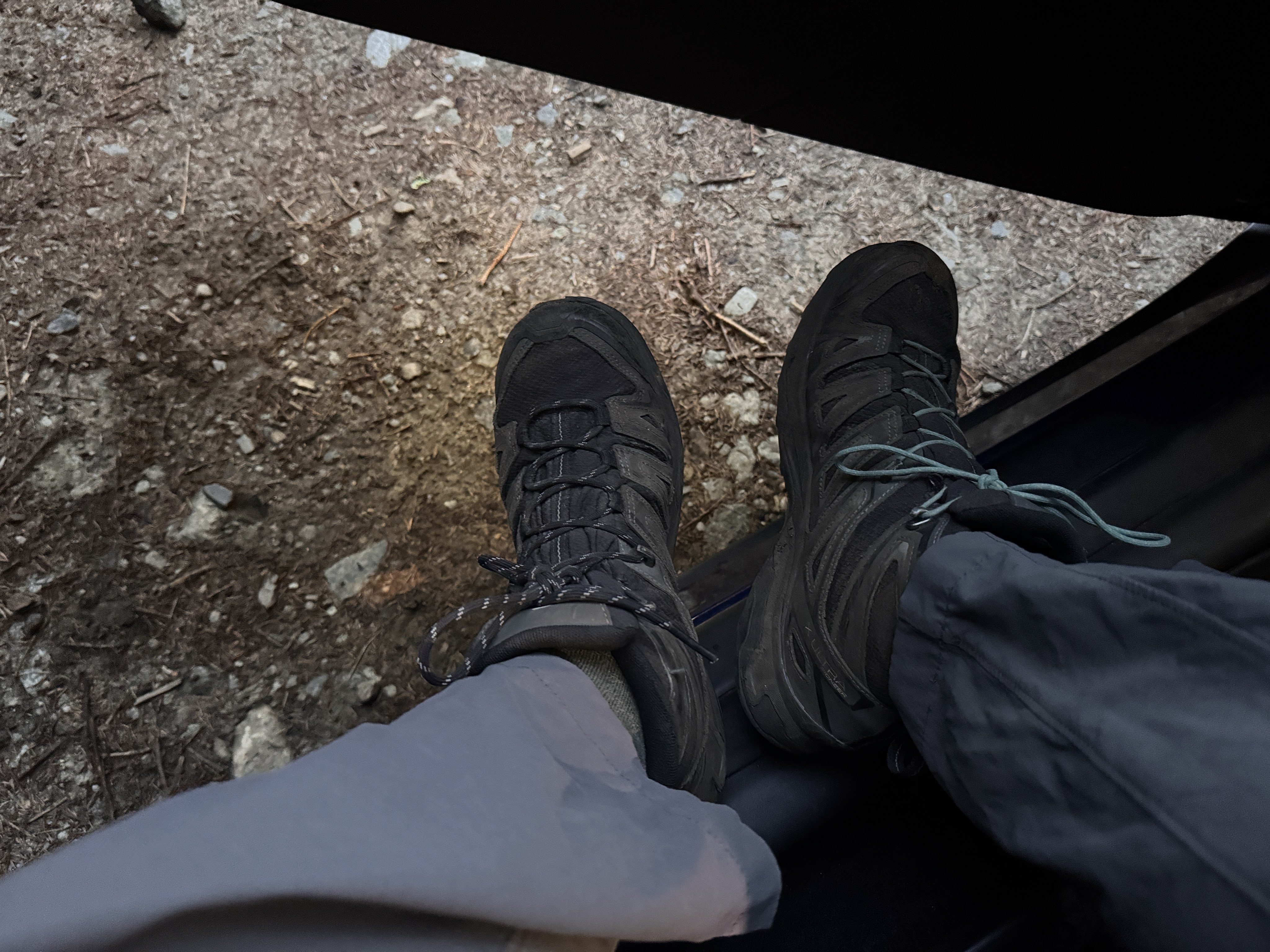
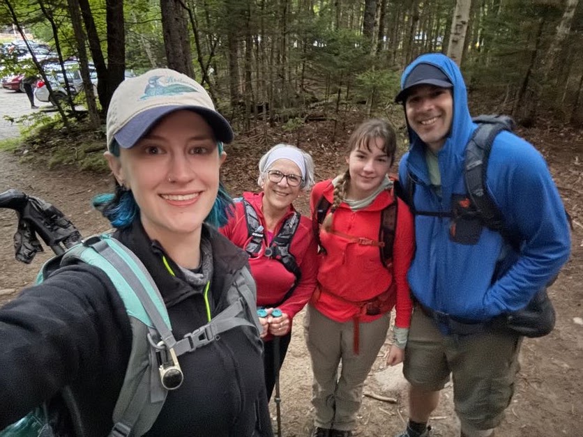
Well, the day has come. 10 years and 1 week since I climbed my very first high peaks (Cascade (36) and Porter (38) Mountains), my family and I woke up in Lake Placid at 4:45am and made our way to the ADK Loj trailhead. We rolled in at 5:40am, pulled on our boots, and made our way to the register.
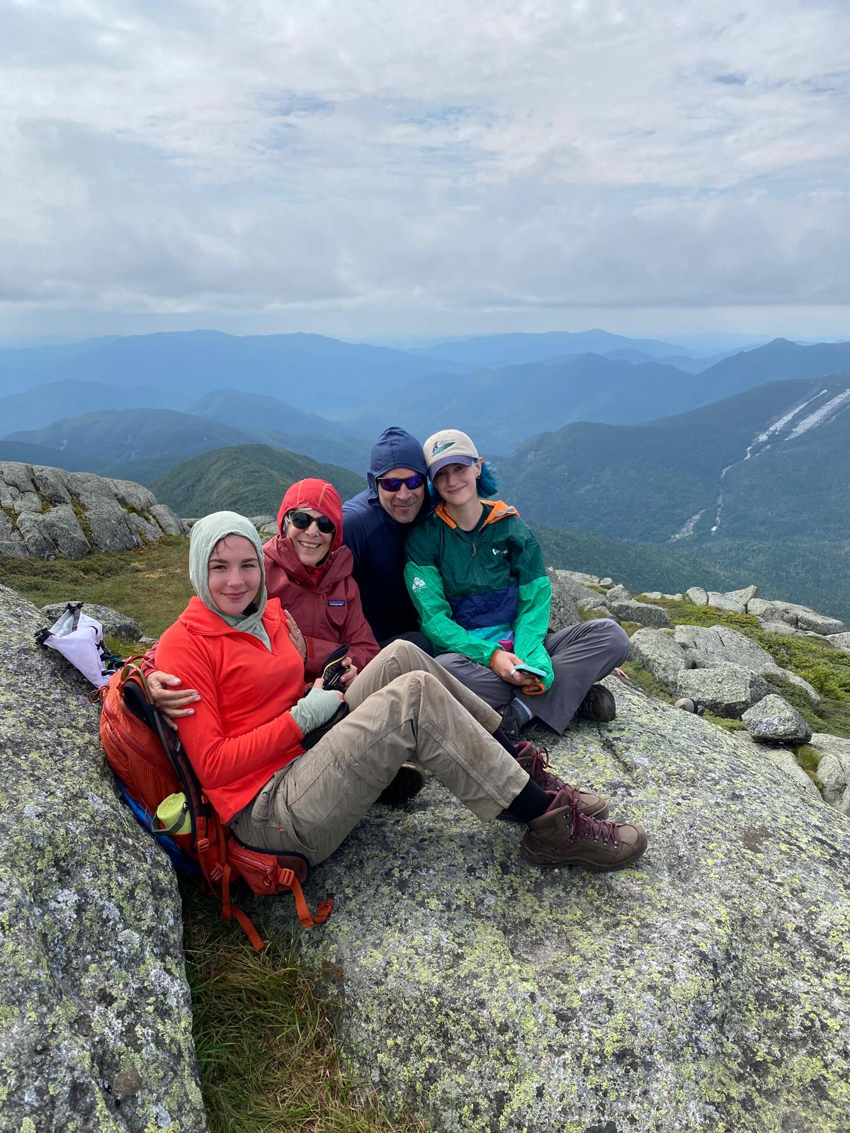
In an absolute surprise, my mother-in-law (a 46r herself!) and my step-daughter flew in from out of town to give me the absolute best birthday gift I could have asked for – meeting me at the summit of Mt Marcy to celebrate my completion of the 46 high peaks. Looking back through all of my trip reports over the years, it’s funny how many are dated on or around my birthday. All I ever want to do on my birthday is go for a hike, so it’s fitting to bring an end to this epic chapter on this specific day.
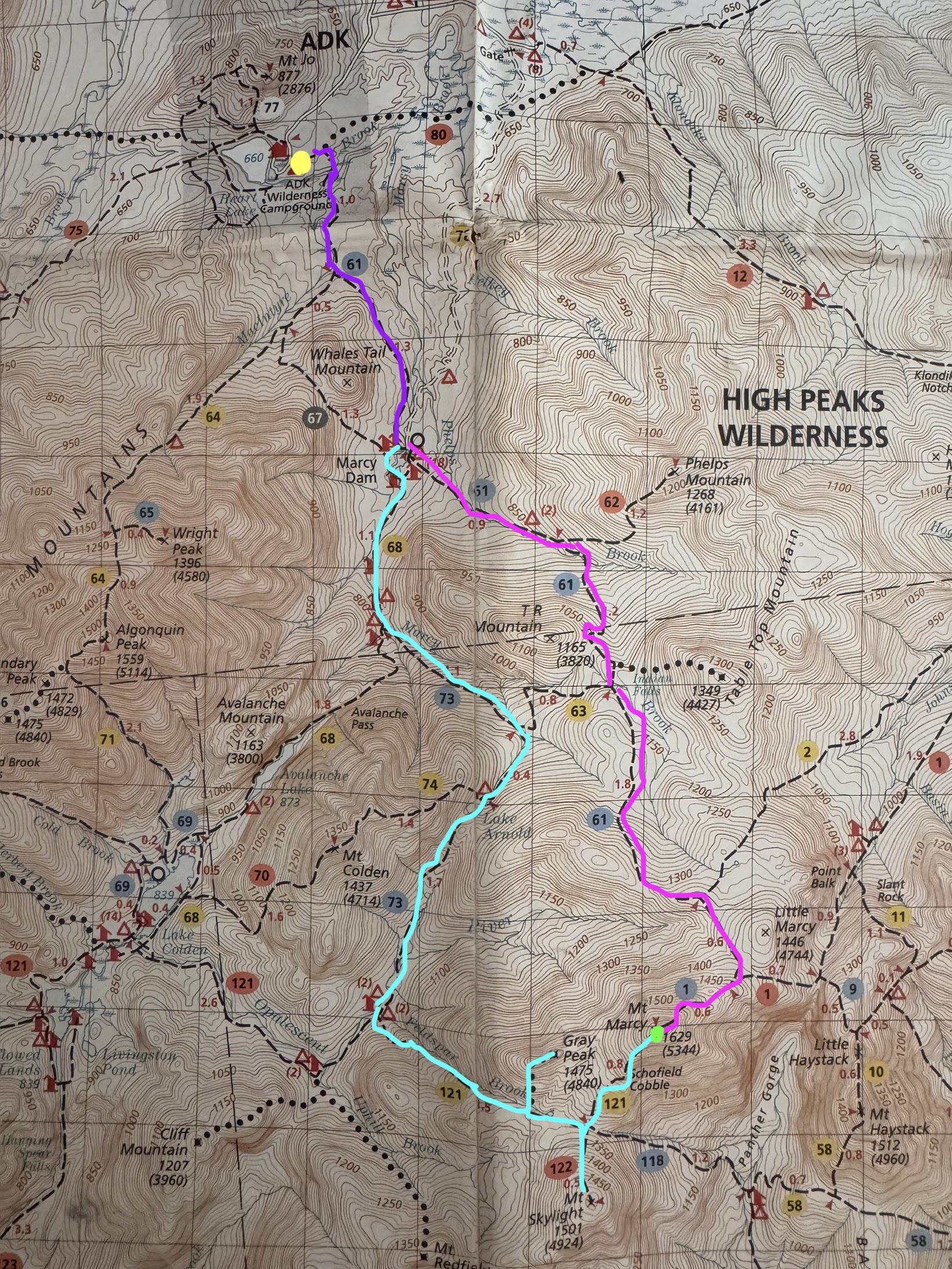
The plan was as follows: the four of us would start together for the first few miles (dark purple), then split up at Marcy Dam. Gildo and I would go around towards Lake Arnold to summit Gray, then Skylight, and then over to Marcy (aqua), while the other two would go straight up Marcy with a pitstop at Indian Falls (pink). Several close friends were also planning to meet me at the summit of Marcy following this path, so we were shooting to get to Marcy by around 2pm and hoping everyone would make it up at around then.
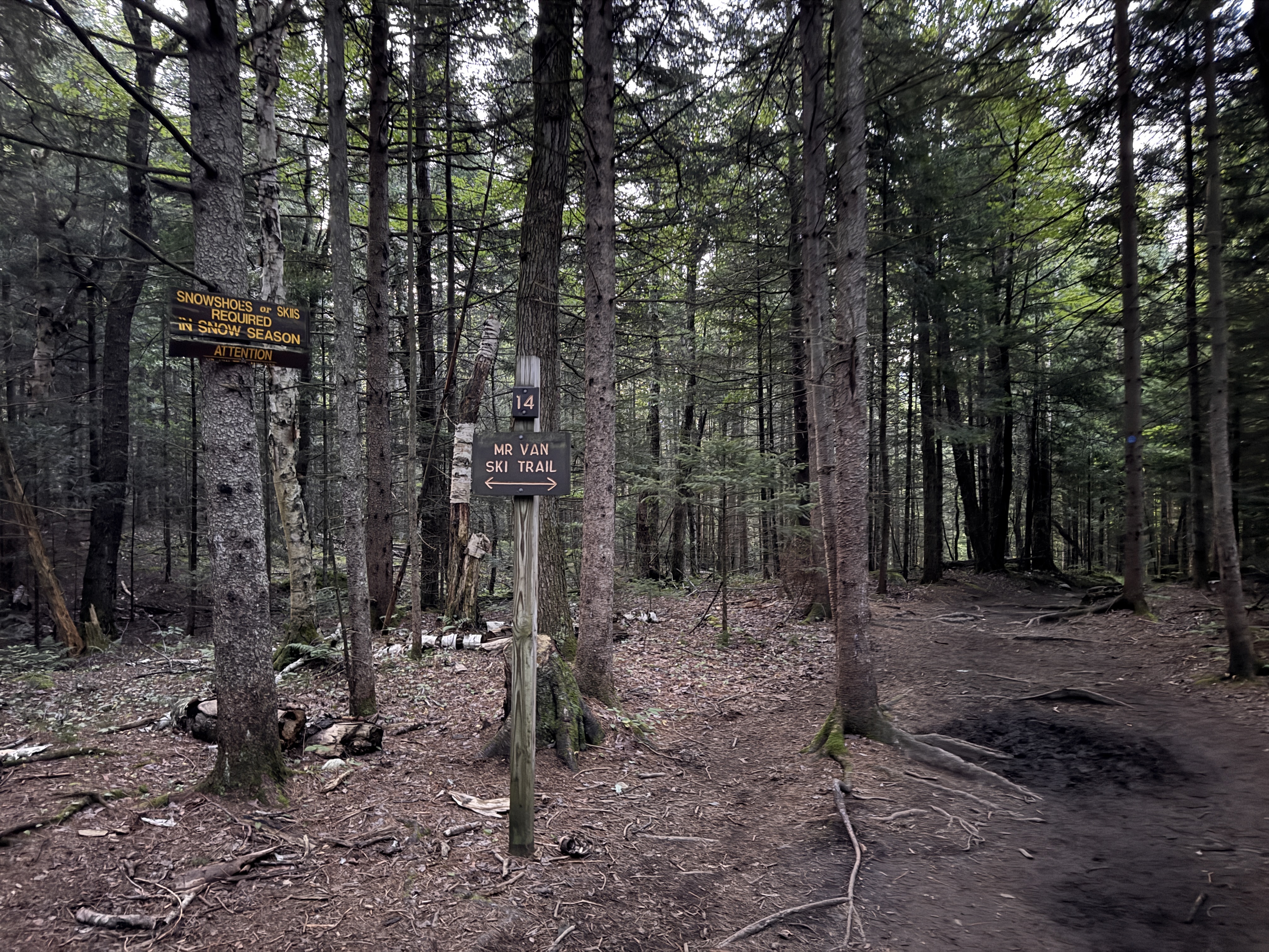
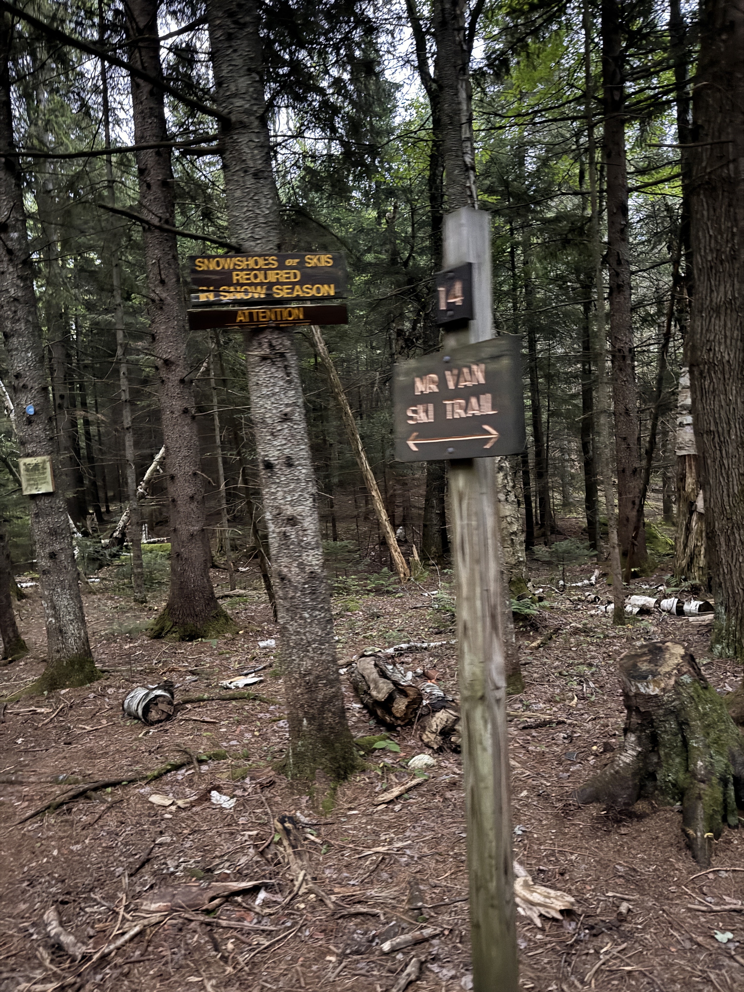
At exactly 6:00am we set off from the register, quickly reaching the very first junction with the ski trail.
The Golden Ardilla must have been excited for us to be there this morning; she dropped her first treat for us on the trail at 6:08am.
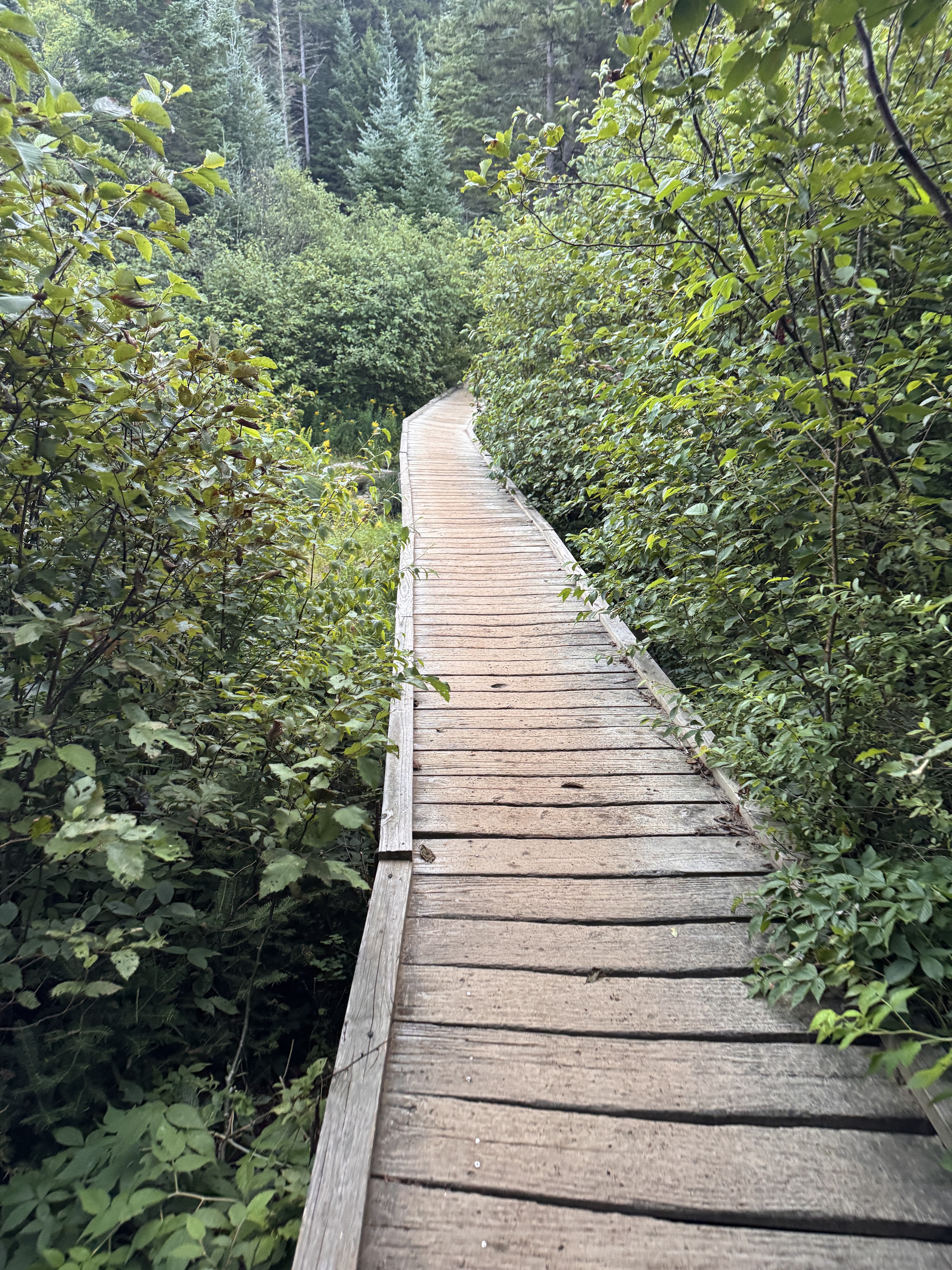
At 6:30 we reached the junction to Algonquin and stayed to the left.
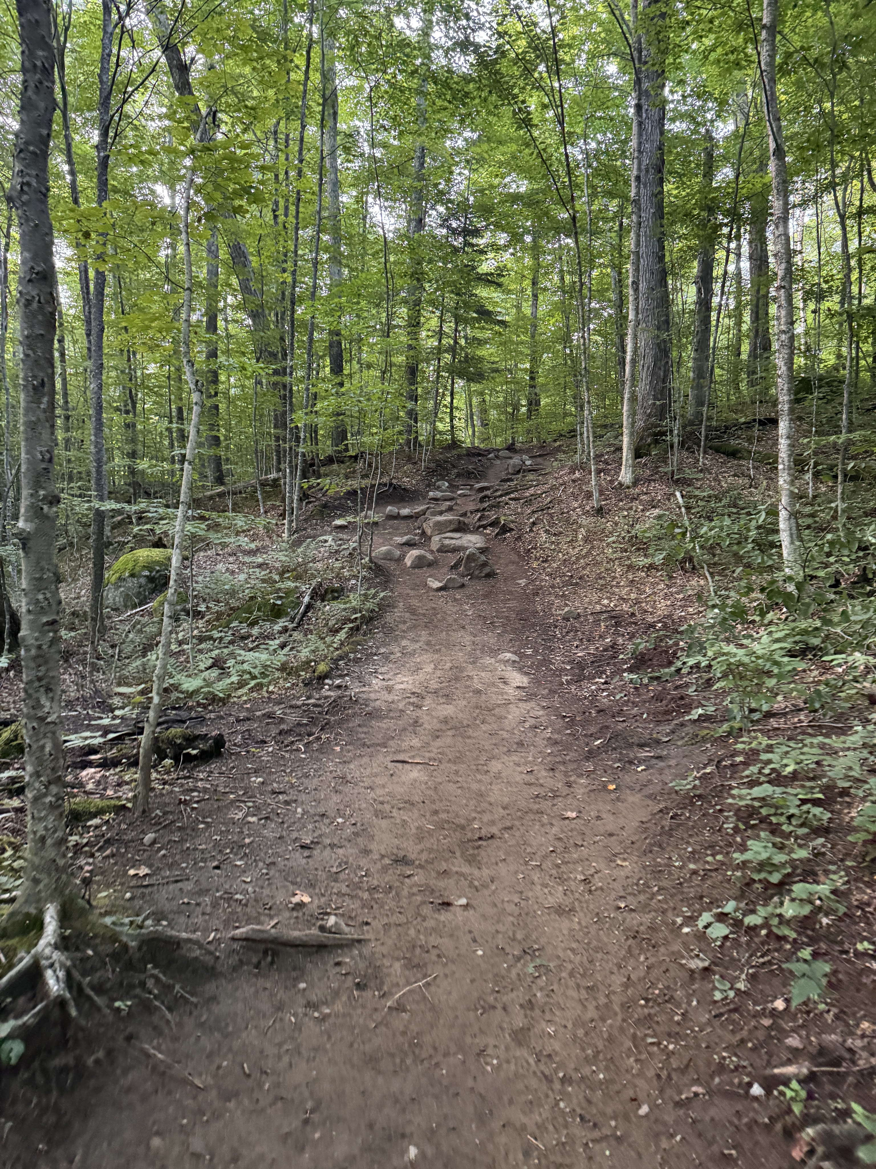
I love walking in the forest at this time of the morning. The birds were just waking up, soft light filtered through the trees. We were tired but happy to be there, chatting and spotting mushrooms as we trod.
It took just an hour to reach Marcy Dam, 2.3 miles from the trailhead.
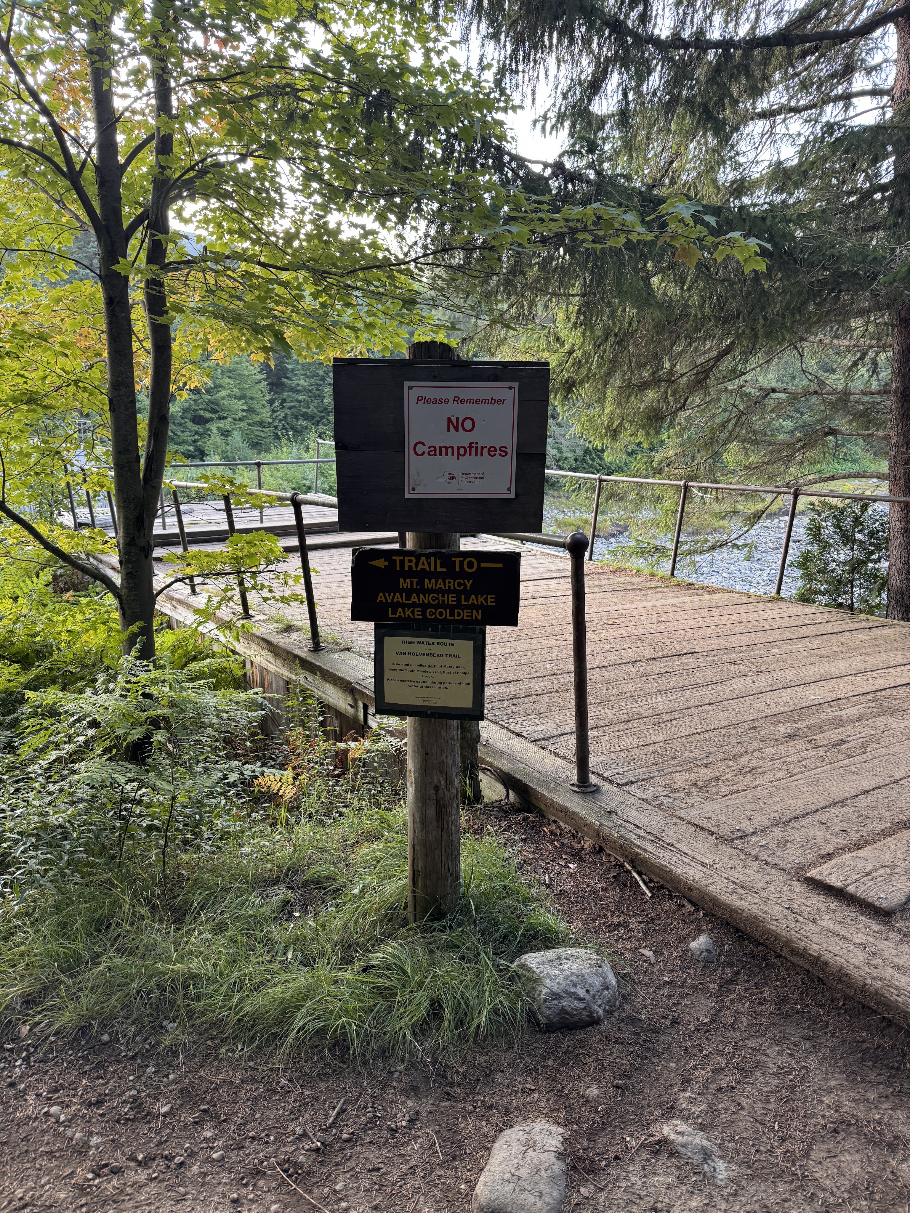
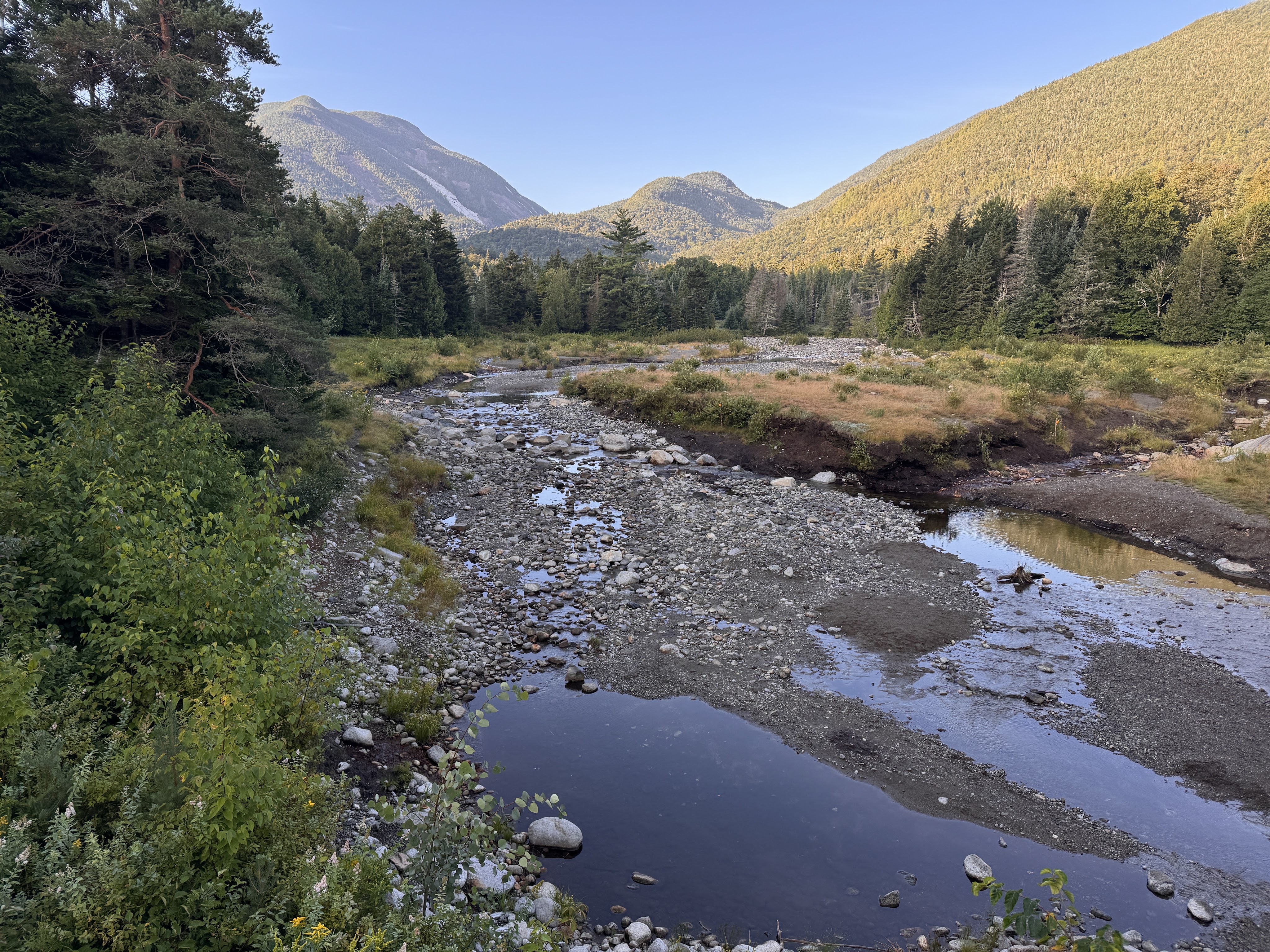
These days, hikers find a mostly-dismantled bridge that is all that remains of the iconic Marcy Dam. The dam was built in the 1930s, impounding Marcy Dam Pond and creating a popular gathering spot for hikers and skiers as the focal point of multiple campsites and lean-tos. During hurricane Irene in 2011, the dam was damaged due to flooding and the pond partially drained. In 2014, NYSDEC announced they would remove the dam due to both expensive reconstruction costs as well as to minimize the impact of human-made structures on the streams and rivers. (source: Marcy Dam – Wikipedia) So now it looks like this.
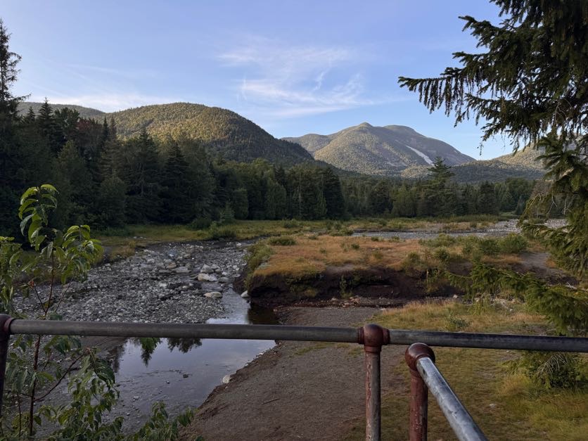
The dam was built during the logging days to divert the Opalescent into Calamity Brook to power the blast furnaces for iron at the Upper Works. The trail is now rerouted downstream with a nice high water bridge. Though I’m sure the lake was beautiful when the dam was in place, I’m glad to see the wilderness return to its natural state, with the rivers flowing in the way they’re meant to. (Source: Lake Tear of the Clouds – Source of the Hudson River | Lake Placid)
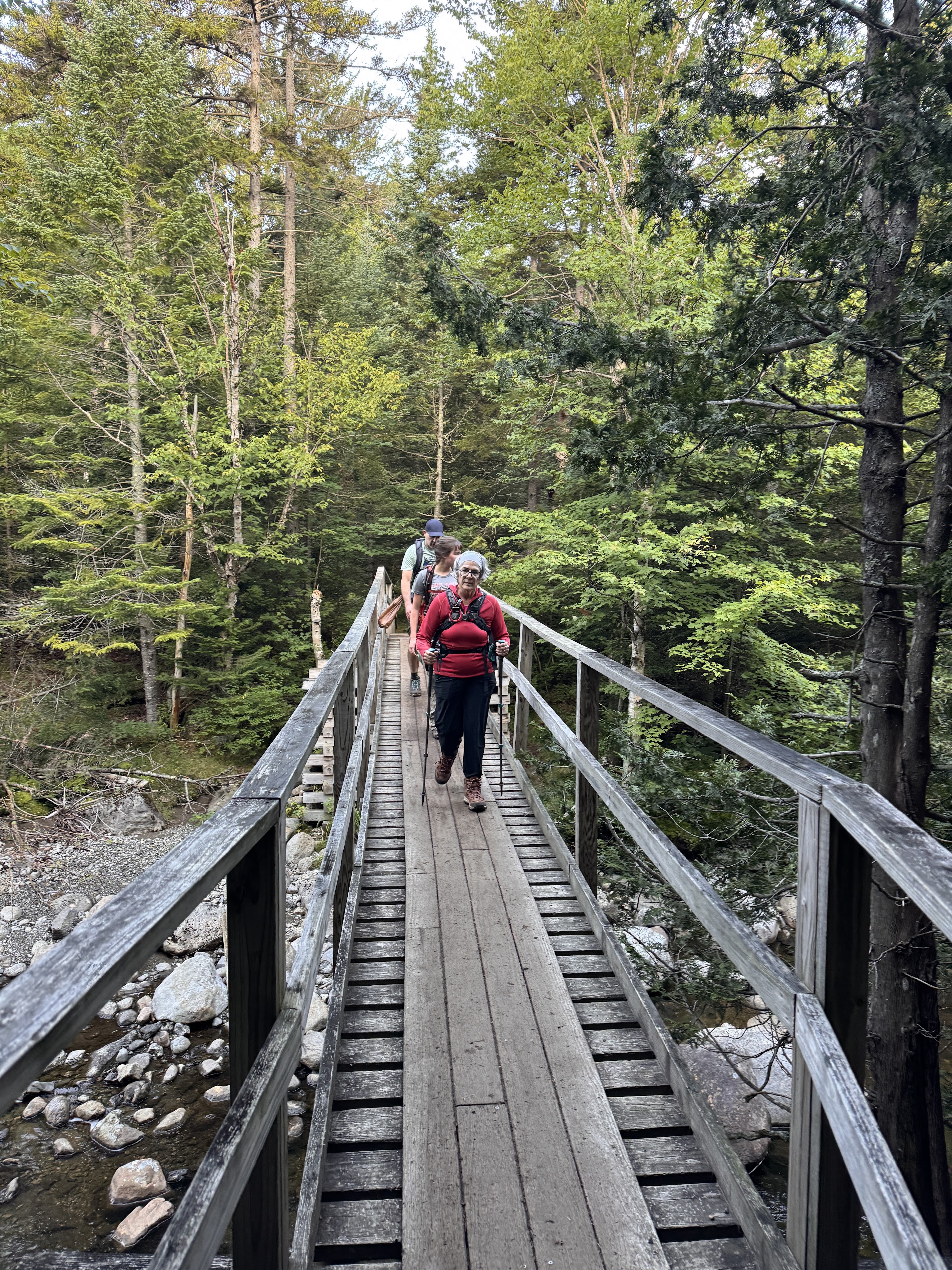
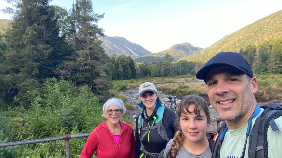
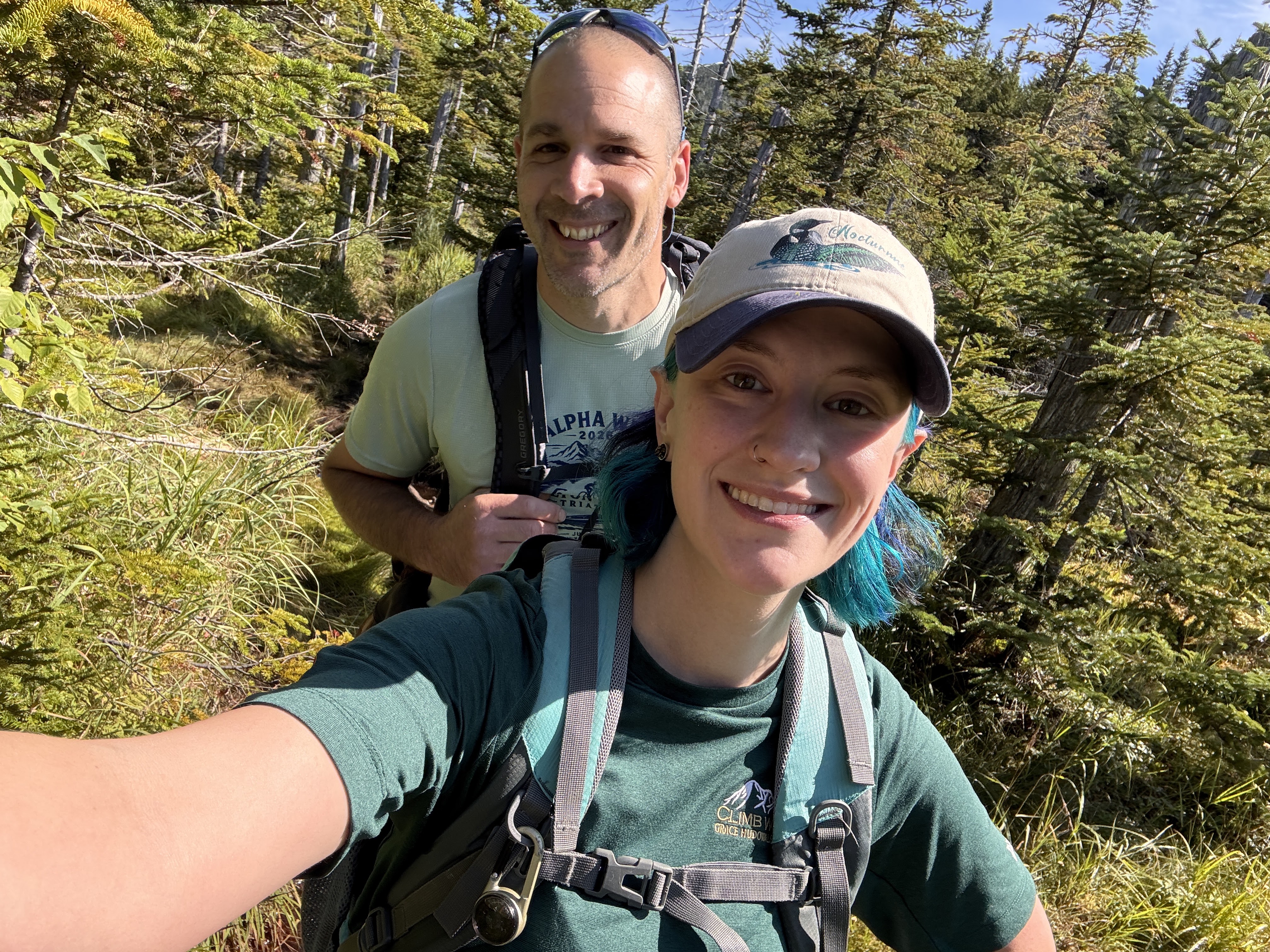
This is where we split up. Gildo and I had 4 more miles to go than the other two in our group, so they decided to stop at the dam to rest and have some breakfast. We said our goodbyes, and on we went.
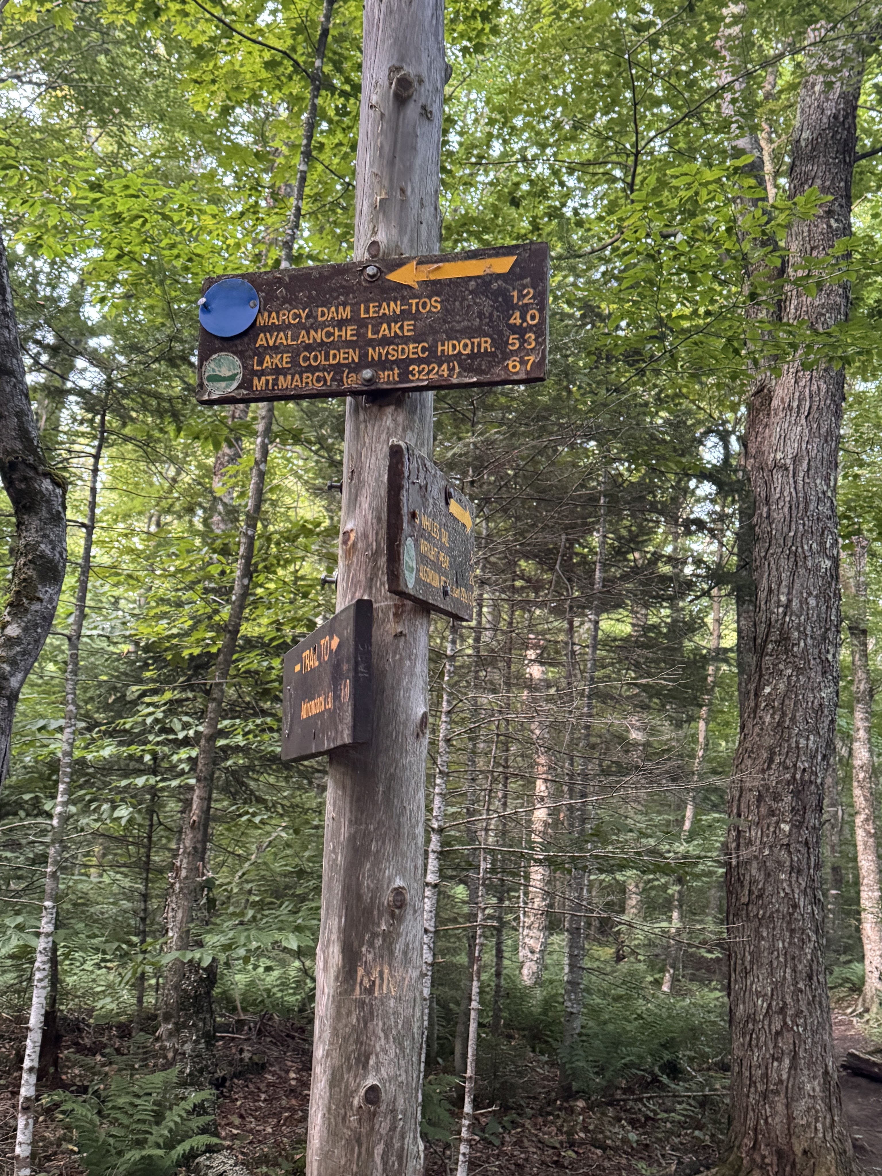
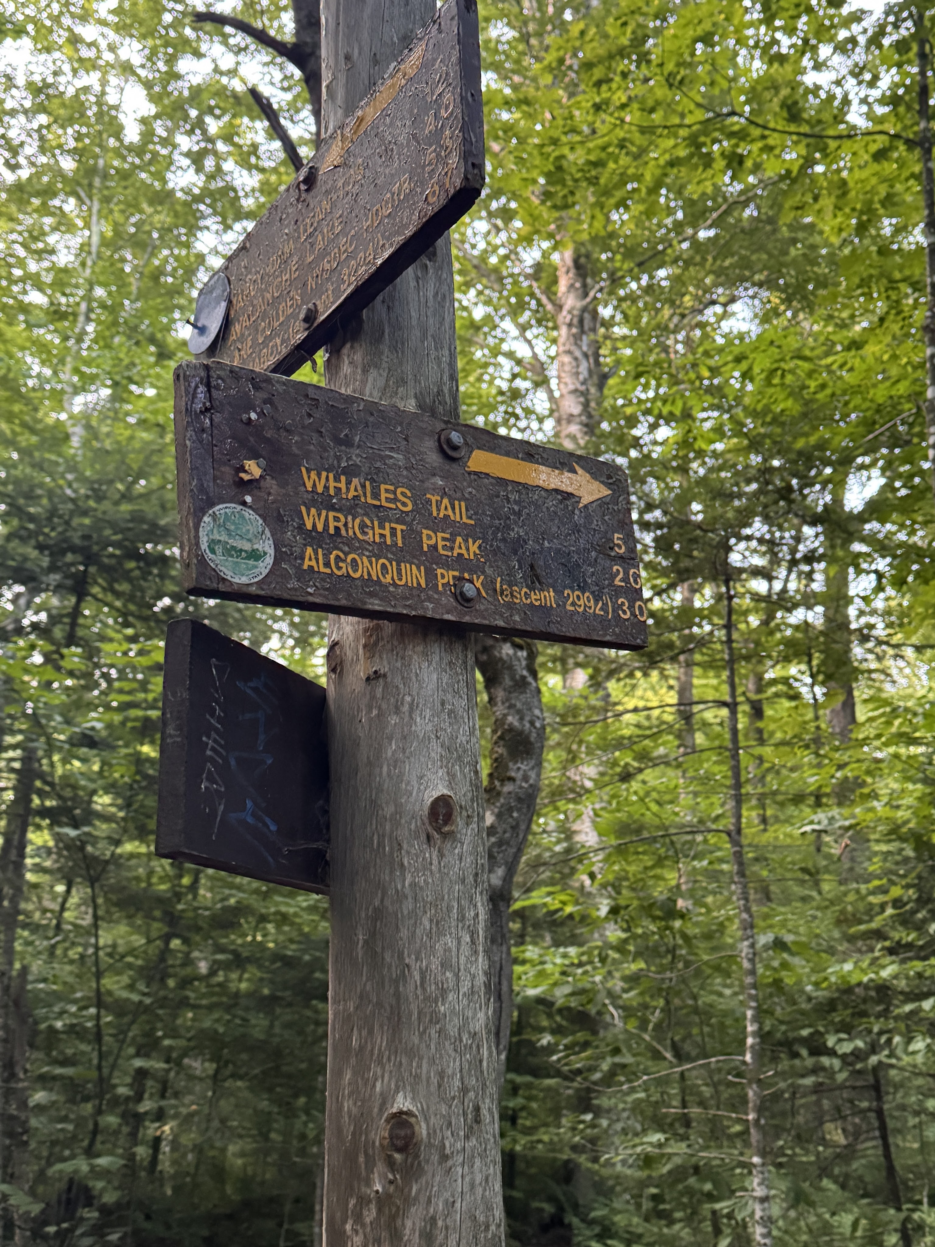
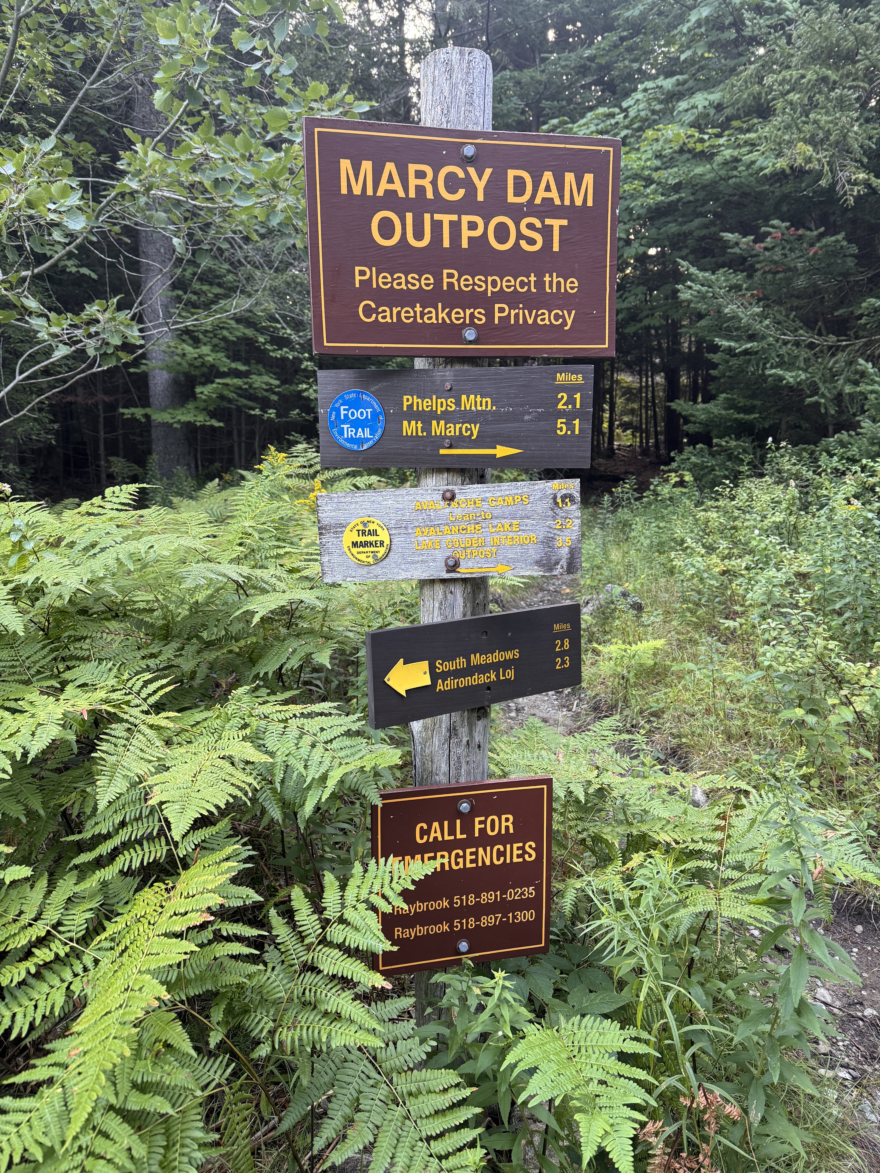
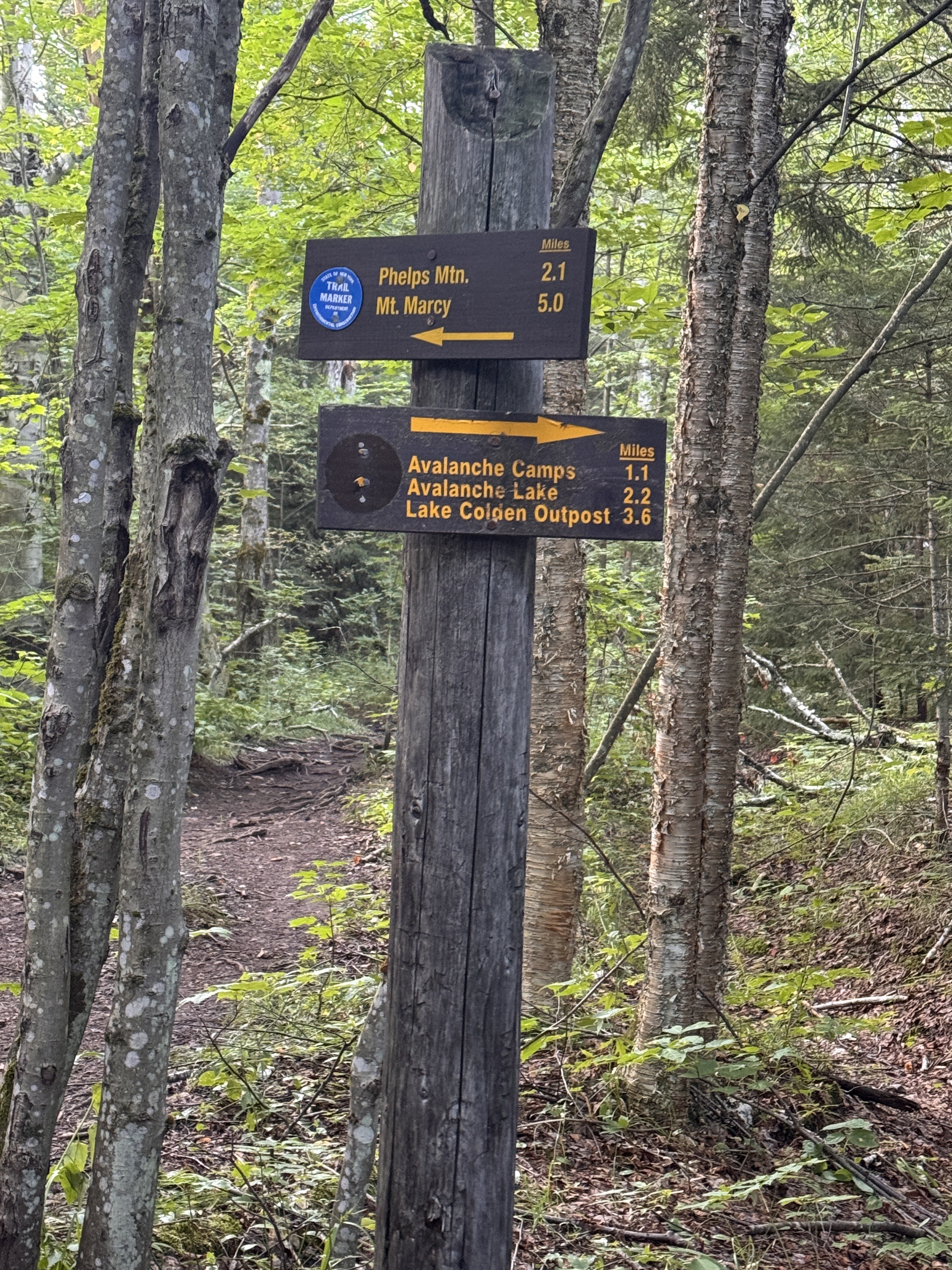
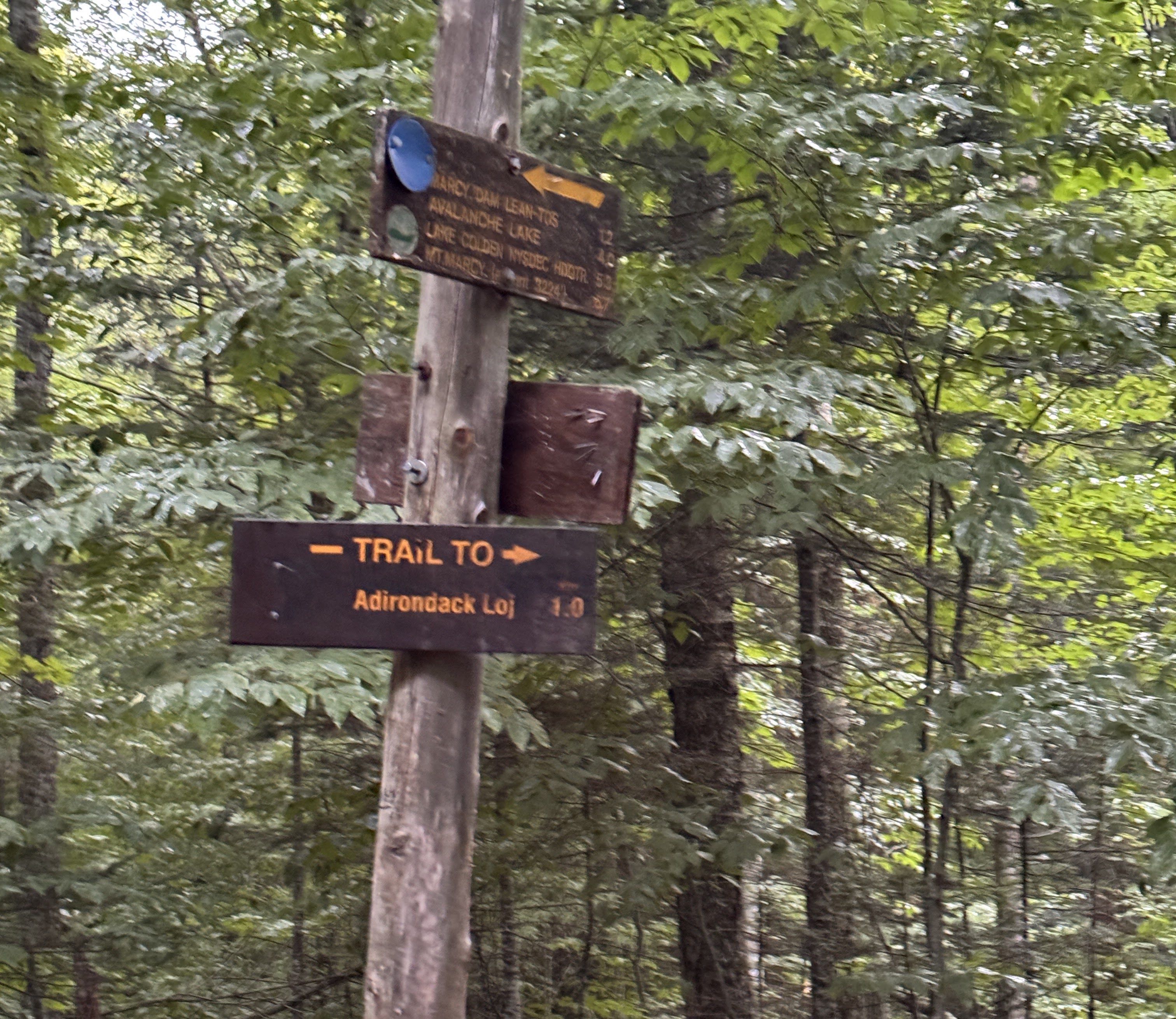
The markers were a little bit confusing here. This sign post shows the blue markers going towards Phelps Mountain, the route everyone else would be taking, and the trail towards Avalanche Lake (our route) would be marked in yellow.
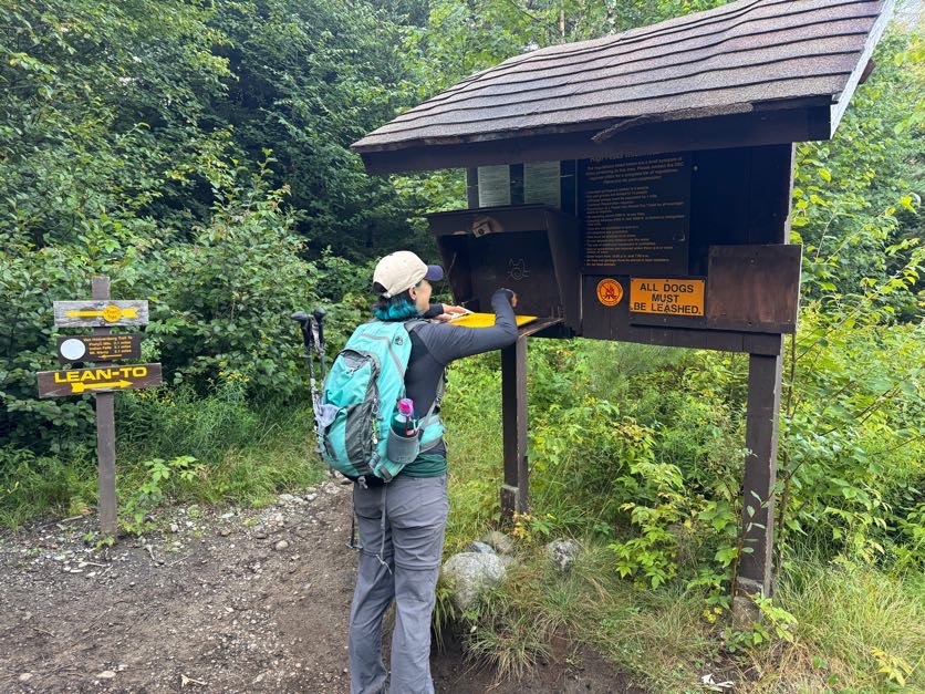
At 7:13am we signed in at this comically tall register. I was looking forward to signing out again later in the day, seeing my friends names who would be signing in after me.
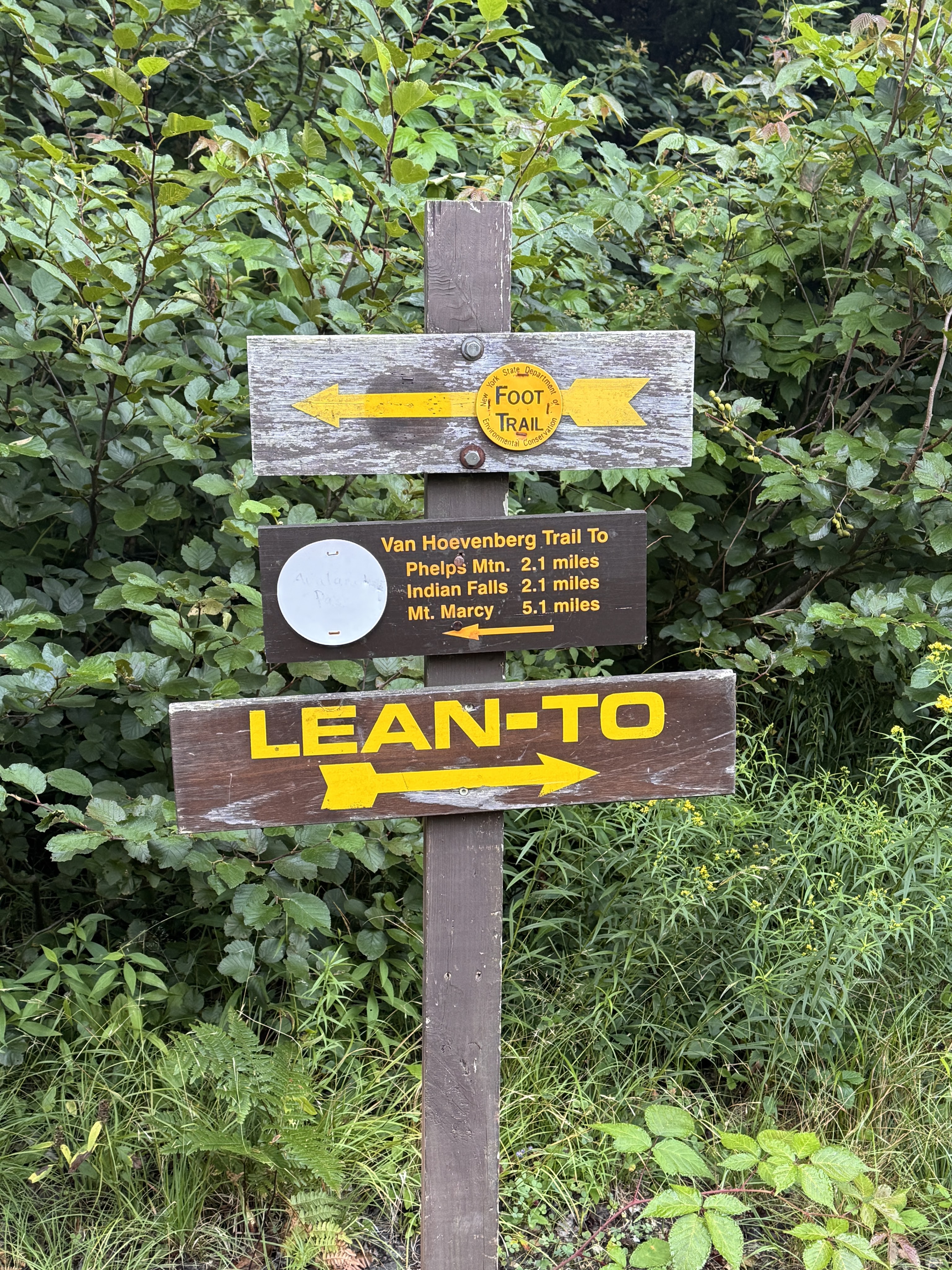
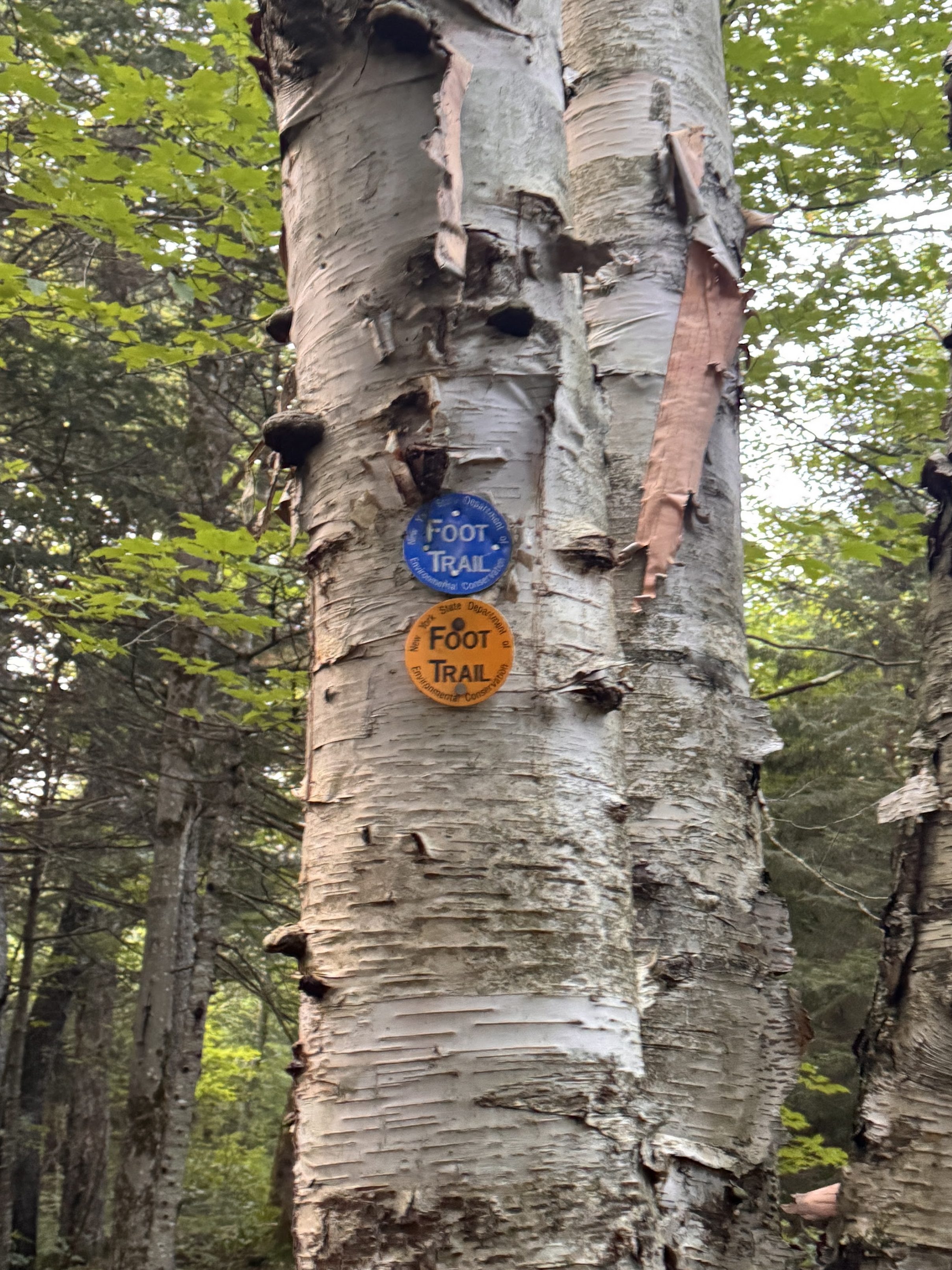
The trail around Marcy Dam is a small loop with loads of interconnecting trails. We were careful to read each sign to ensure we were going the right way at each junction, especially when we saw multiple trail markers on a single tree.
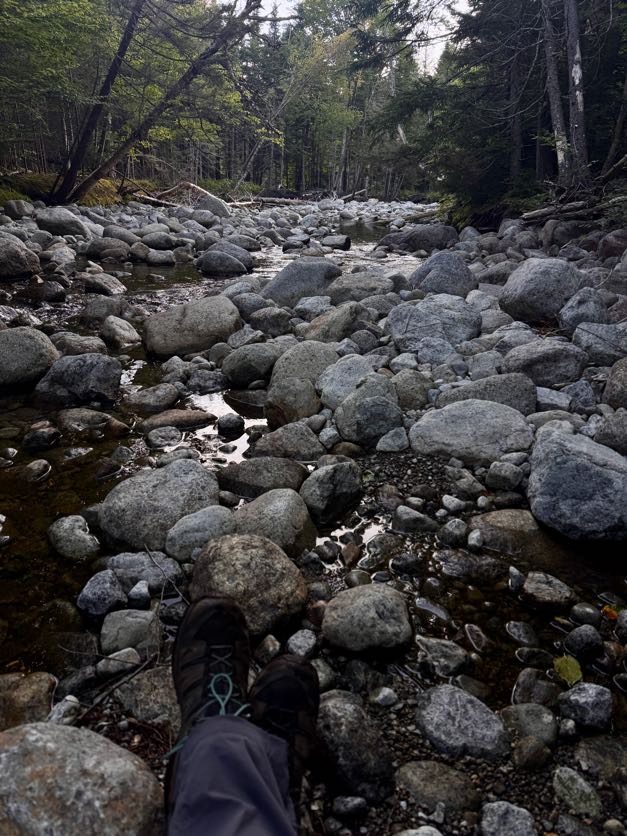
It was so peaceful here. Most campers were either still sleeping or just getting started moving around their campsites, and the only other people we’d seen so far were just as happy to be there as we were.
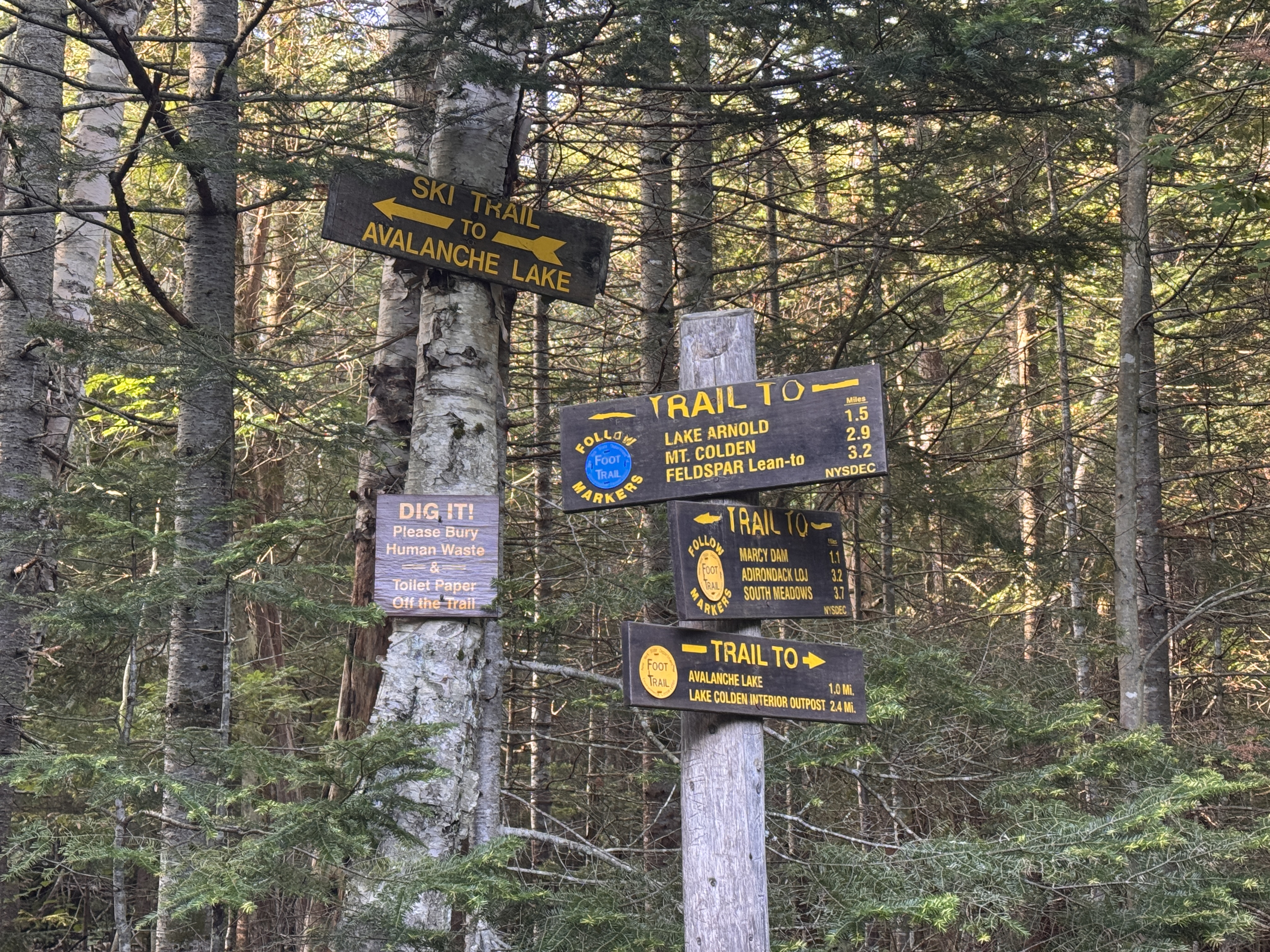
At 7:52 we’d traversed the 1.1 miles from Marcy Dam to the next junction. This time we stayed on the blue trail toward Lake Arnold.
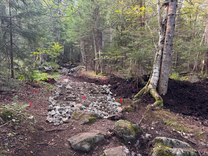
The trail to avalanche lake was actually still closed due to the landslide that happened during a severe thunderstorm in July 2025. We passed by some reconstructive efforts on the trail and noted the closed trail.
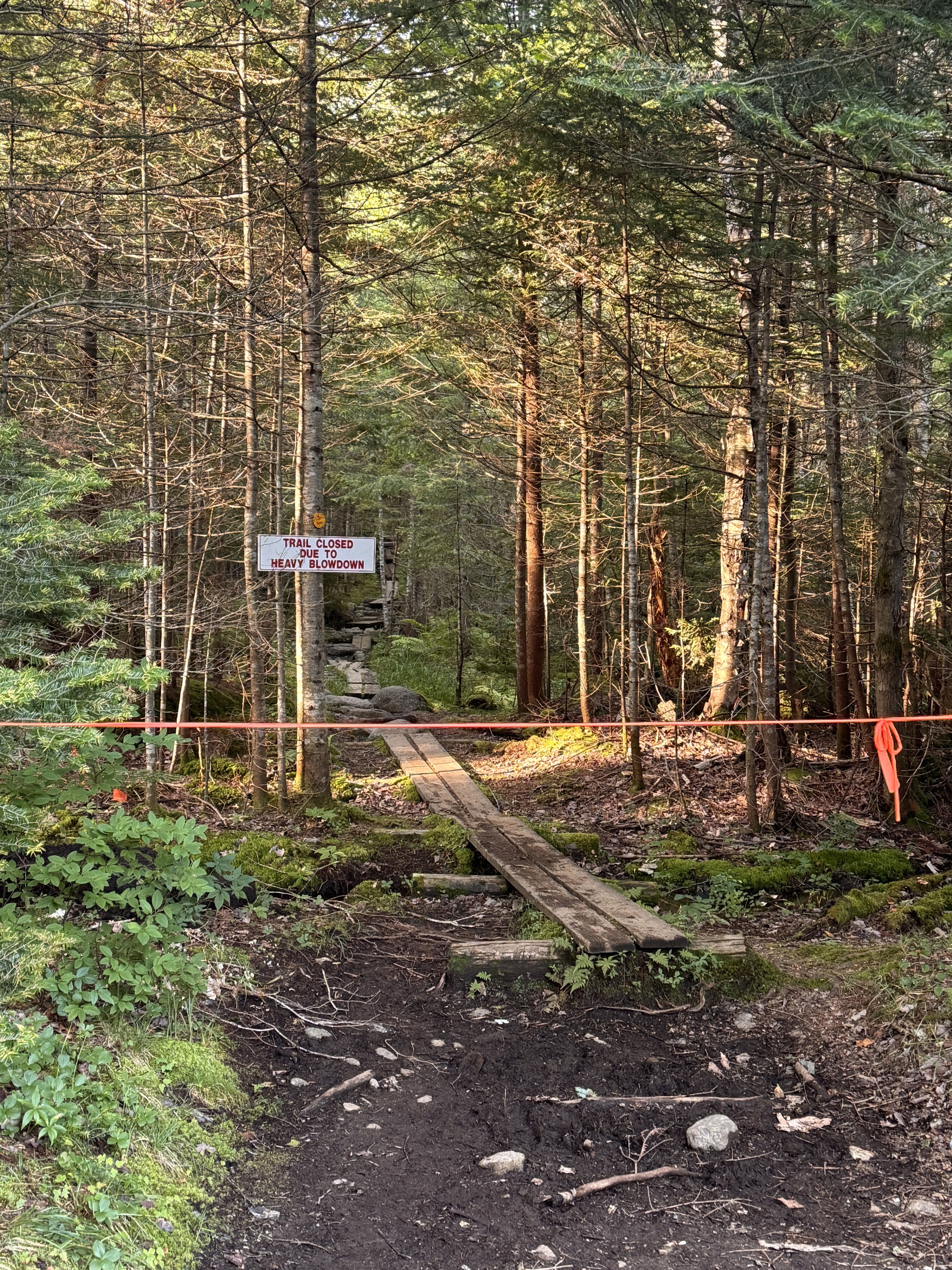
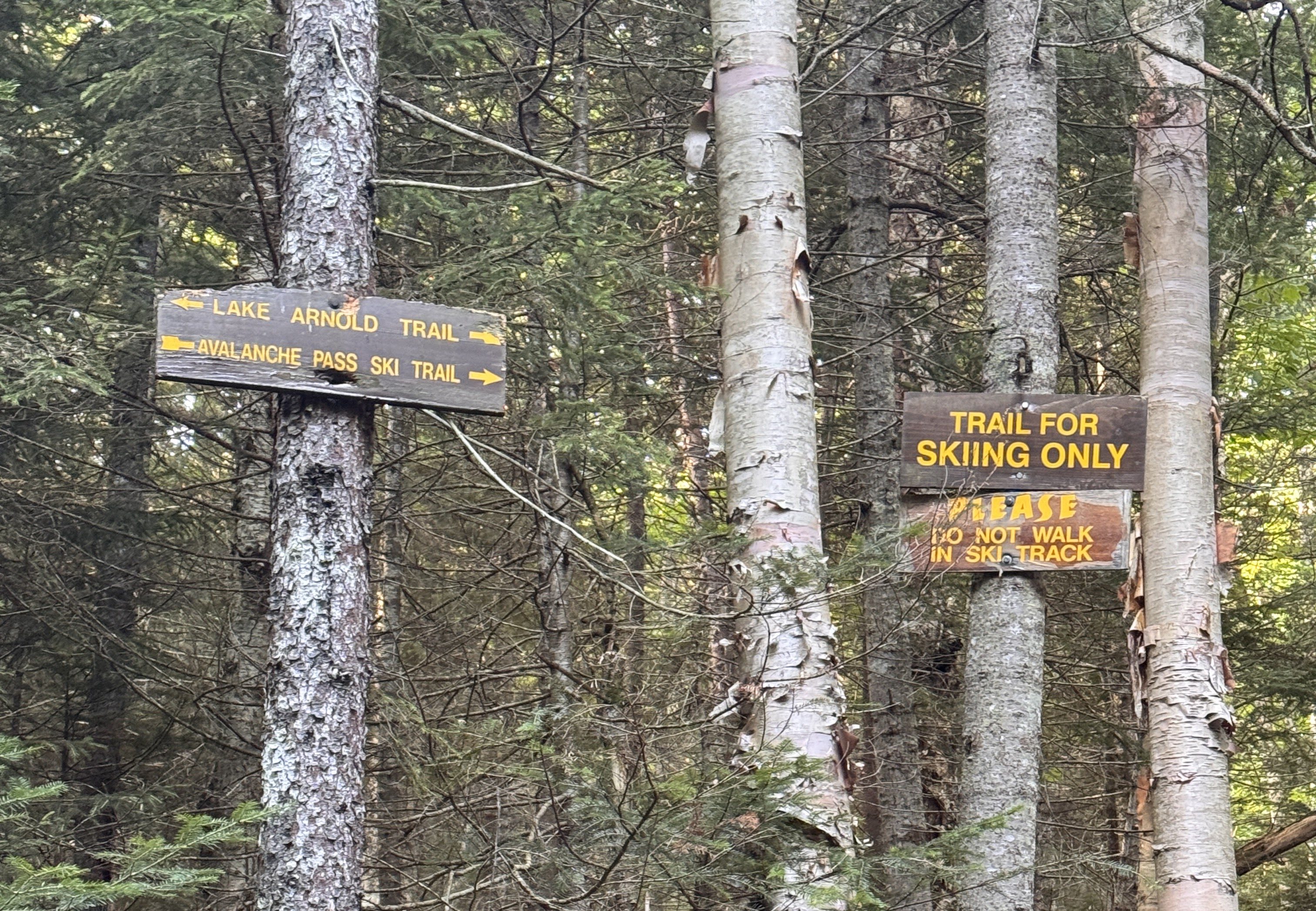
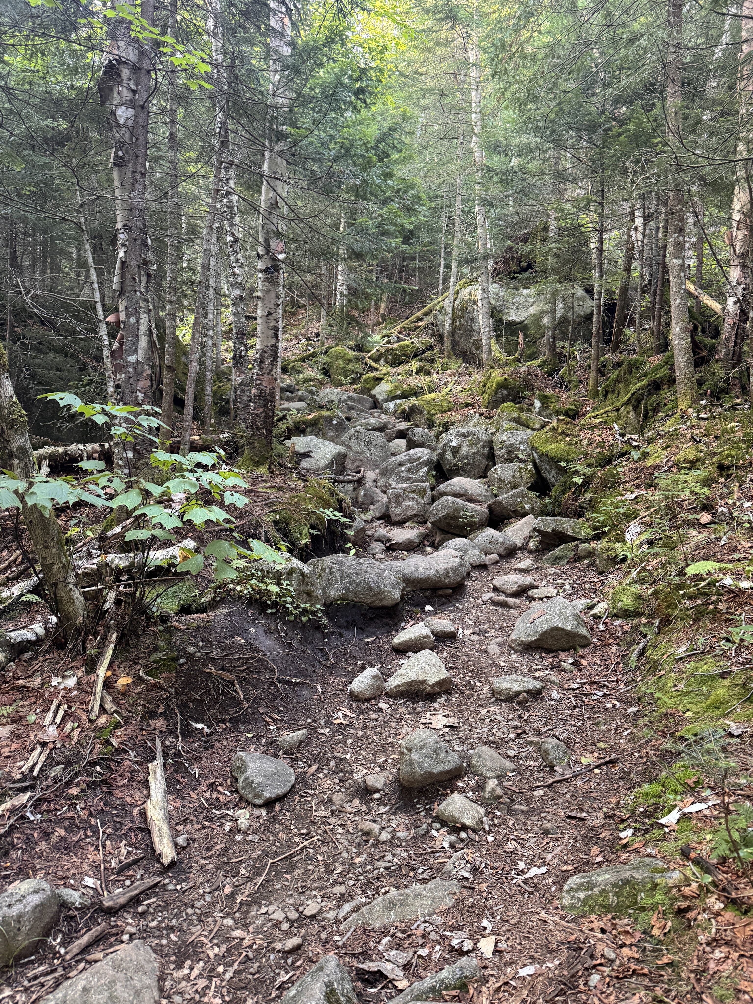
Until now the trail had been relatively flat, just little ups and downs but nothing major. For the next 1.1 miles we would climb pretty steadily up towards lake Arnold.
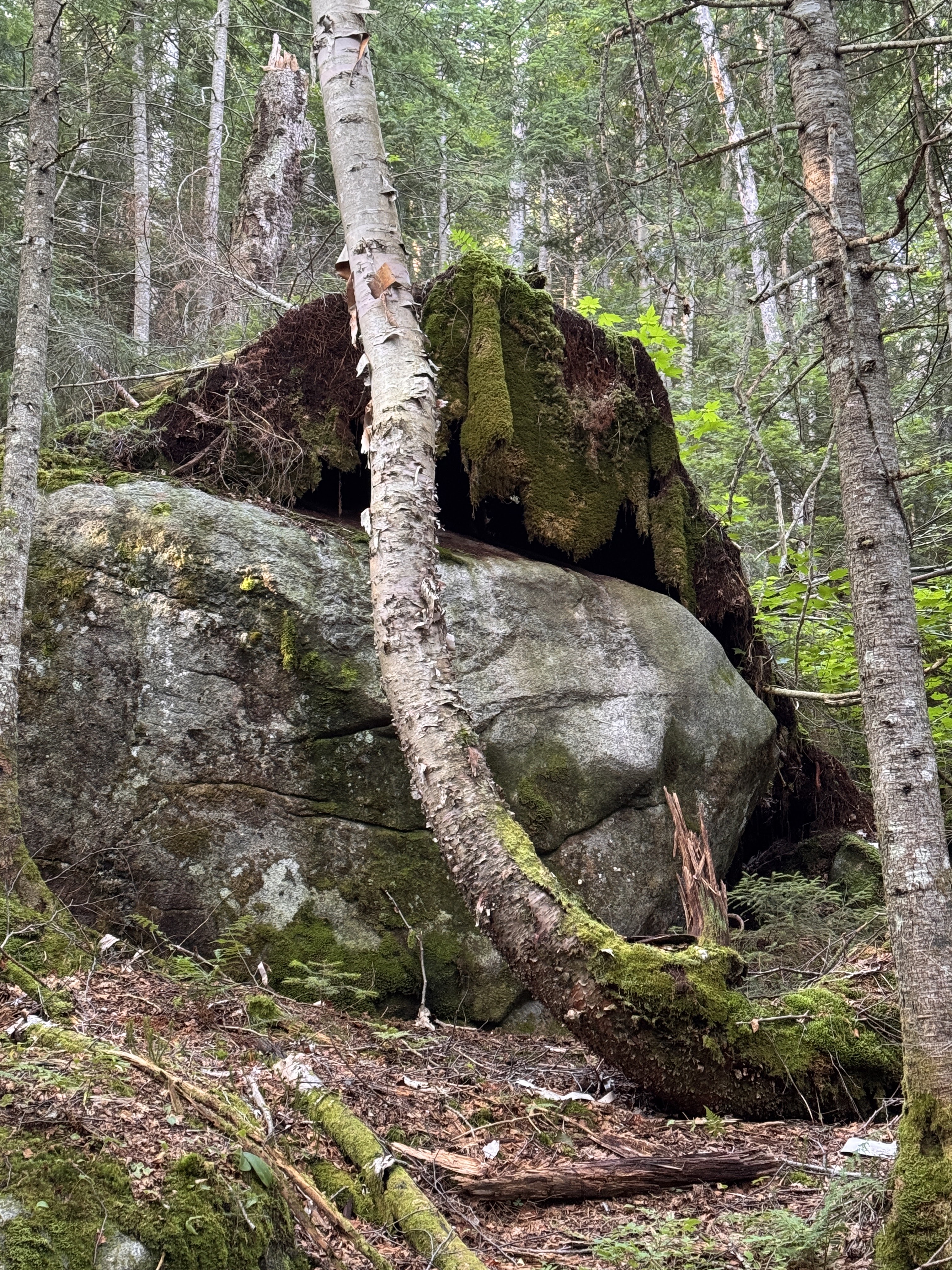
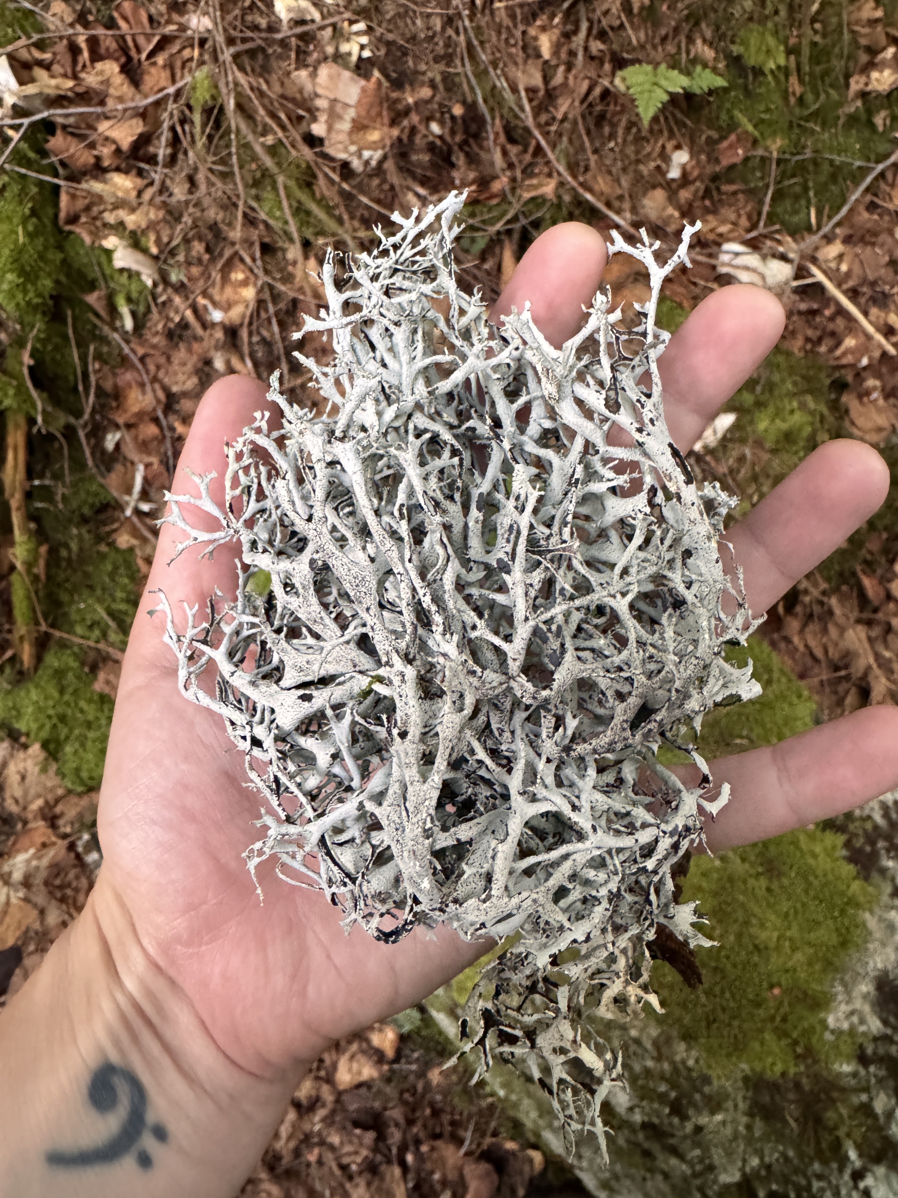
Look at this – the tree that was rooted around this boulder had fallen, removing the moss and lichen from the rock like a blanket. Looks like a great place to take a nap! (You know I’m sleepy on a trail when I start looking for places to nap).
Someone asked me recently what do I think about when I’m on these long hikes. As if I might struggle to find things to occupy myself. But it’s never occurred to me to be bored while hiking – there’s so much to take in and my mind does love to wander. It’s therapeutic and meditative to just exist out in the wilderness with no distractions.
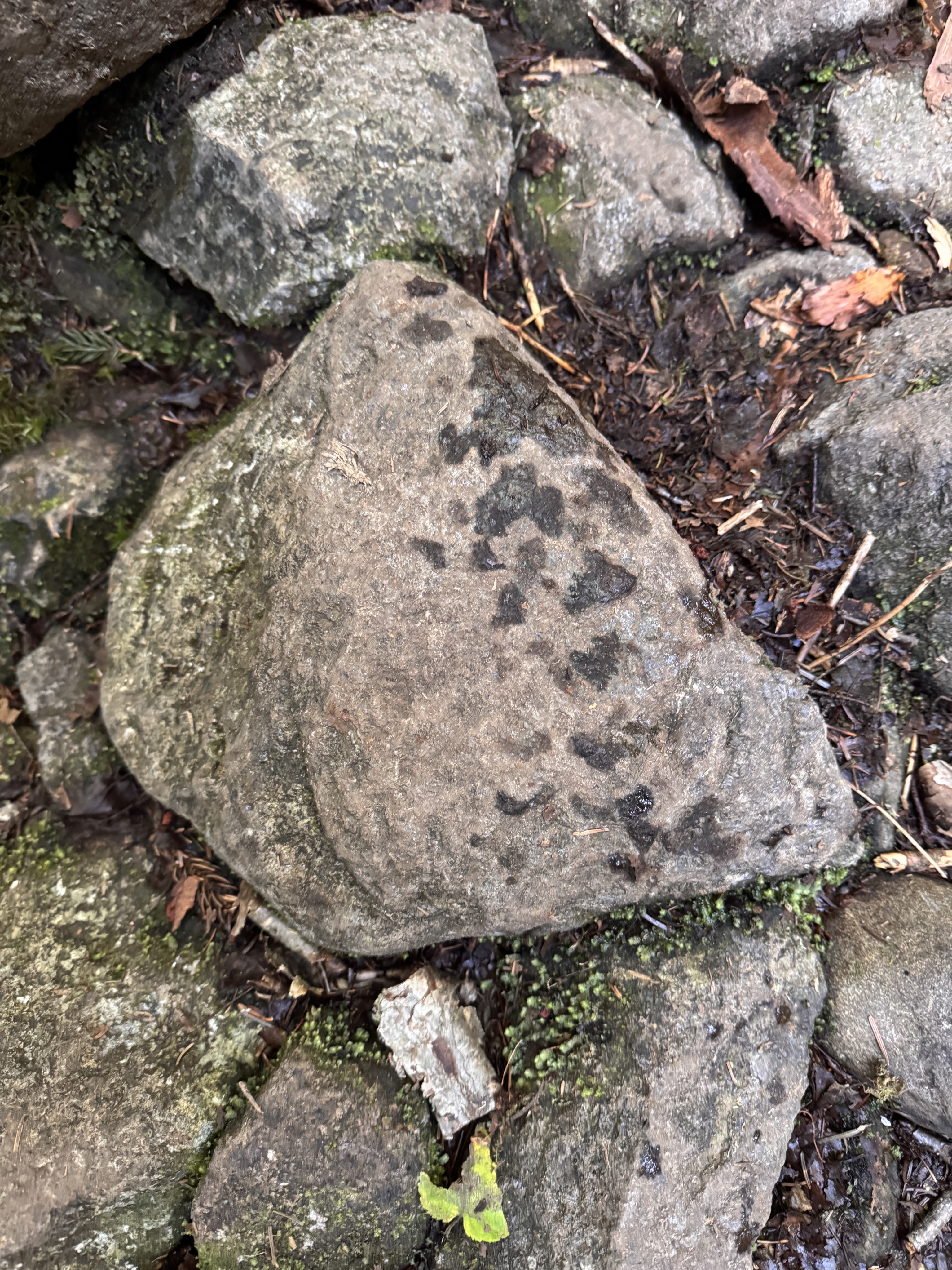
We noticed we must have been catching up to hikers ahead of us when we saw fresh prints on the rocks – I wondered if they were from Bel Air.
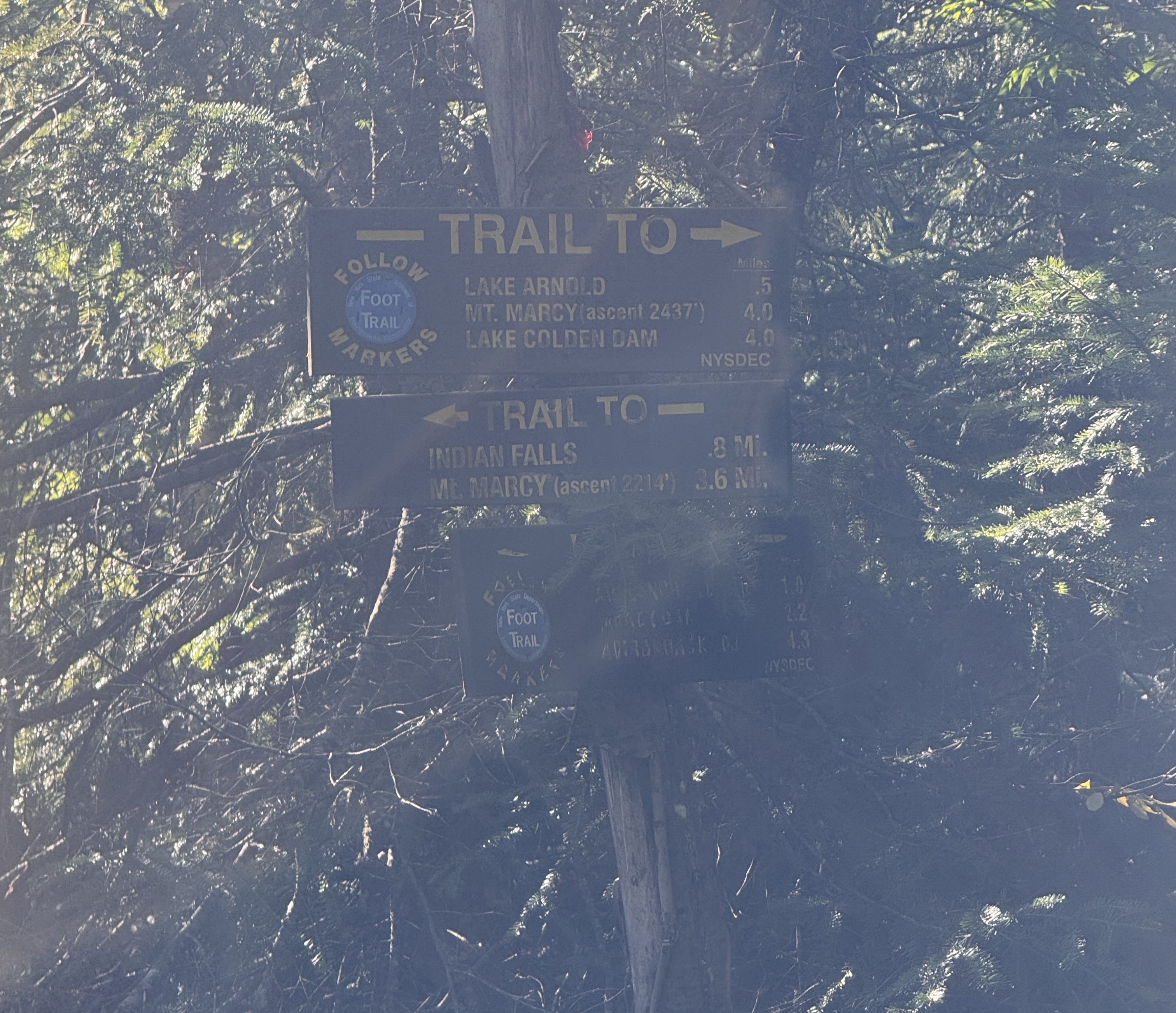
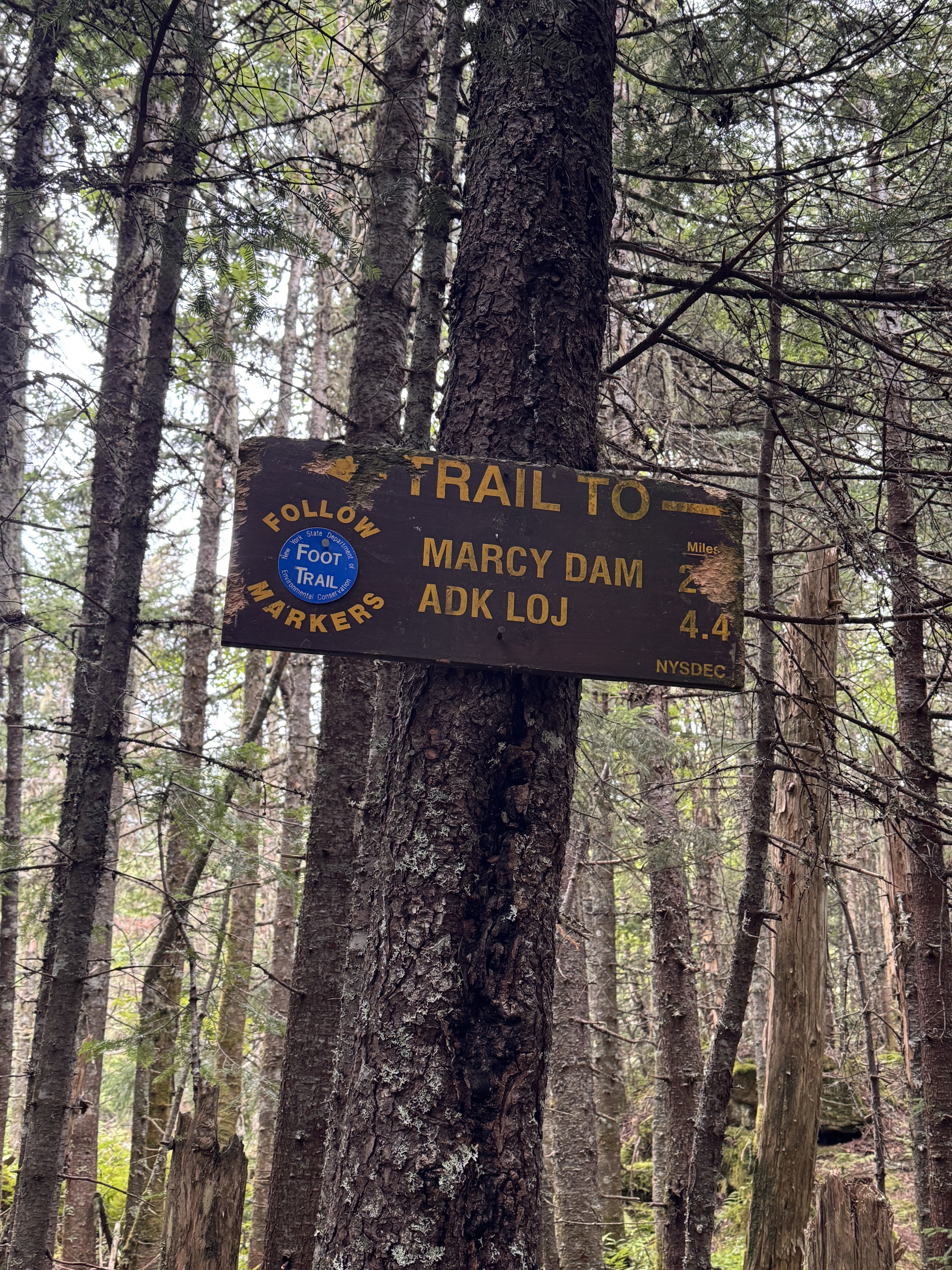
At 8:40am we reached the next junction – according to this sign, 0.5 miles to get to Lake Arnold, 4.0 to get to Marcy. However, the map shows 0.4 to Lake Arnold and 4.4 to Marcy.
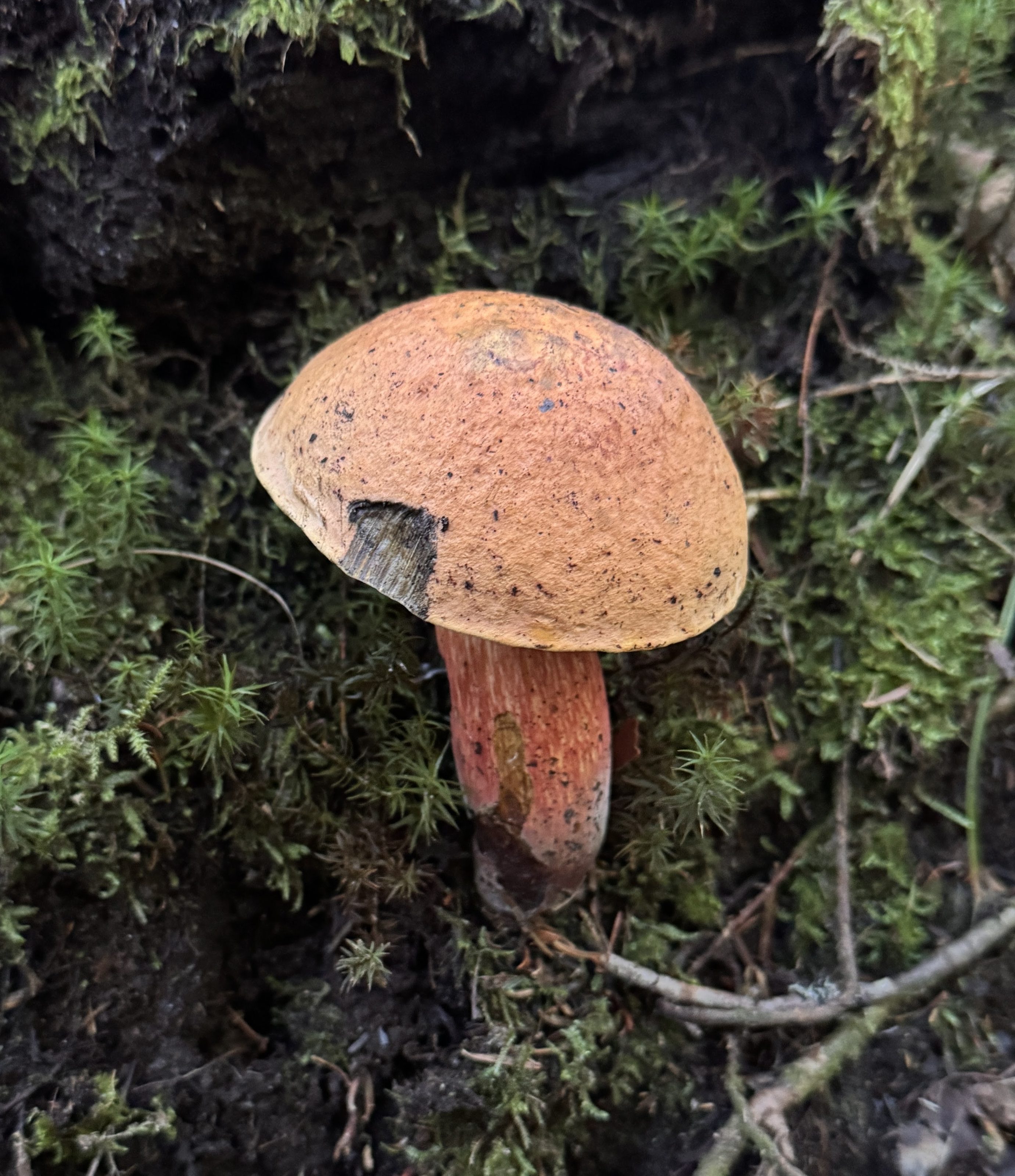
There were SO MANY MUSHROOMS of all varieties popping up through the forest floor from all the recent rain. I love spotting them and, when they look amiable, giving them a nice pat on the cap.
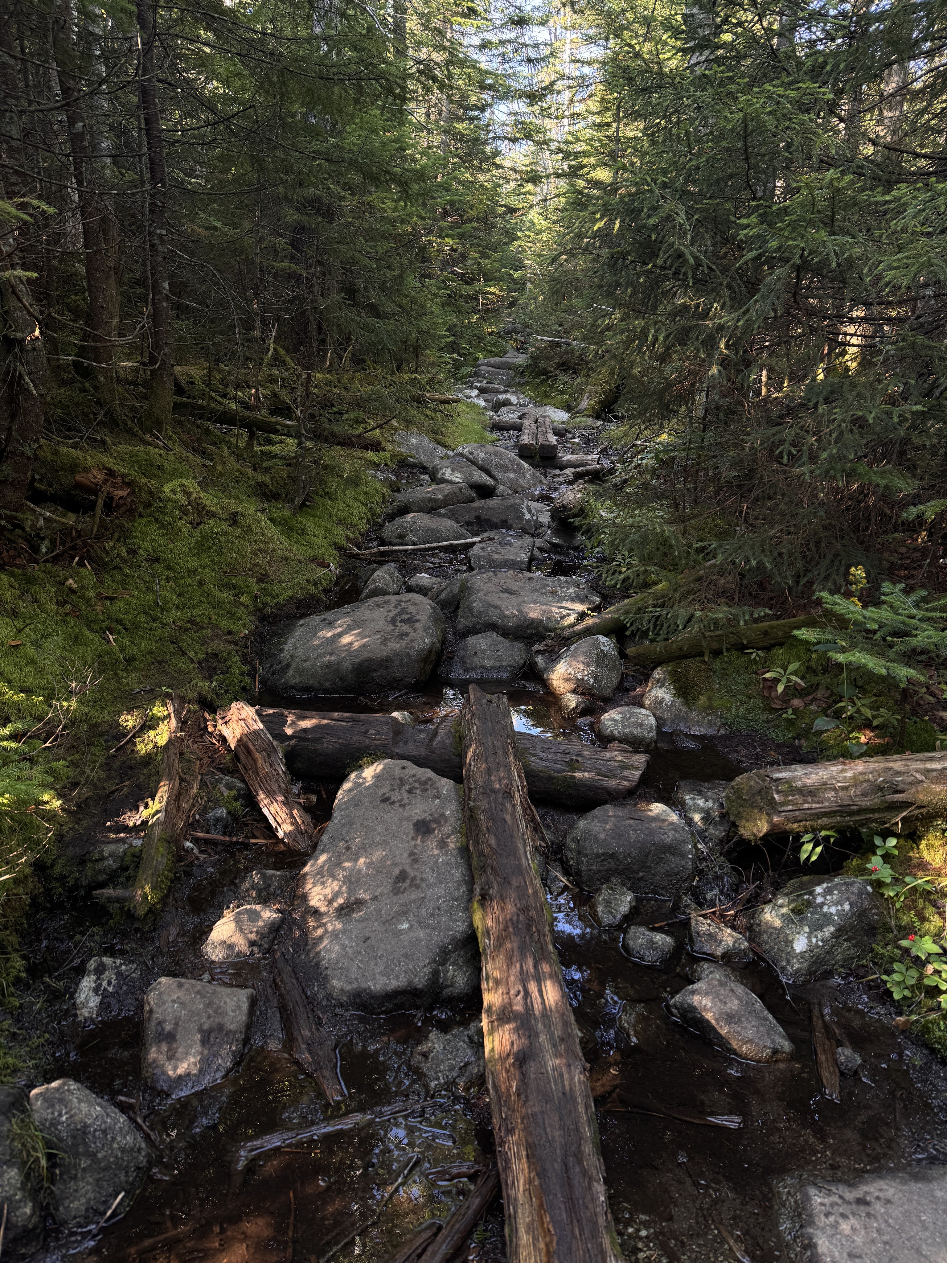
This is a pretty typical Adirondack trail at this point. The climbing continued, though not overly steep over mud and rocks and rotting puncheon.
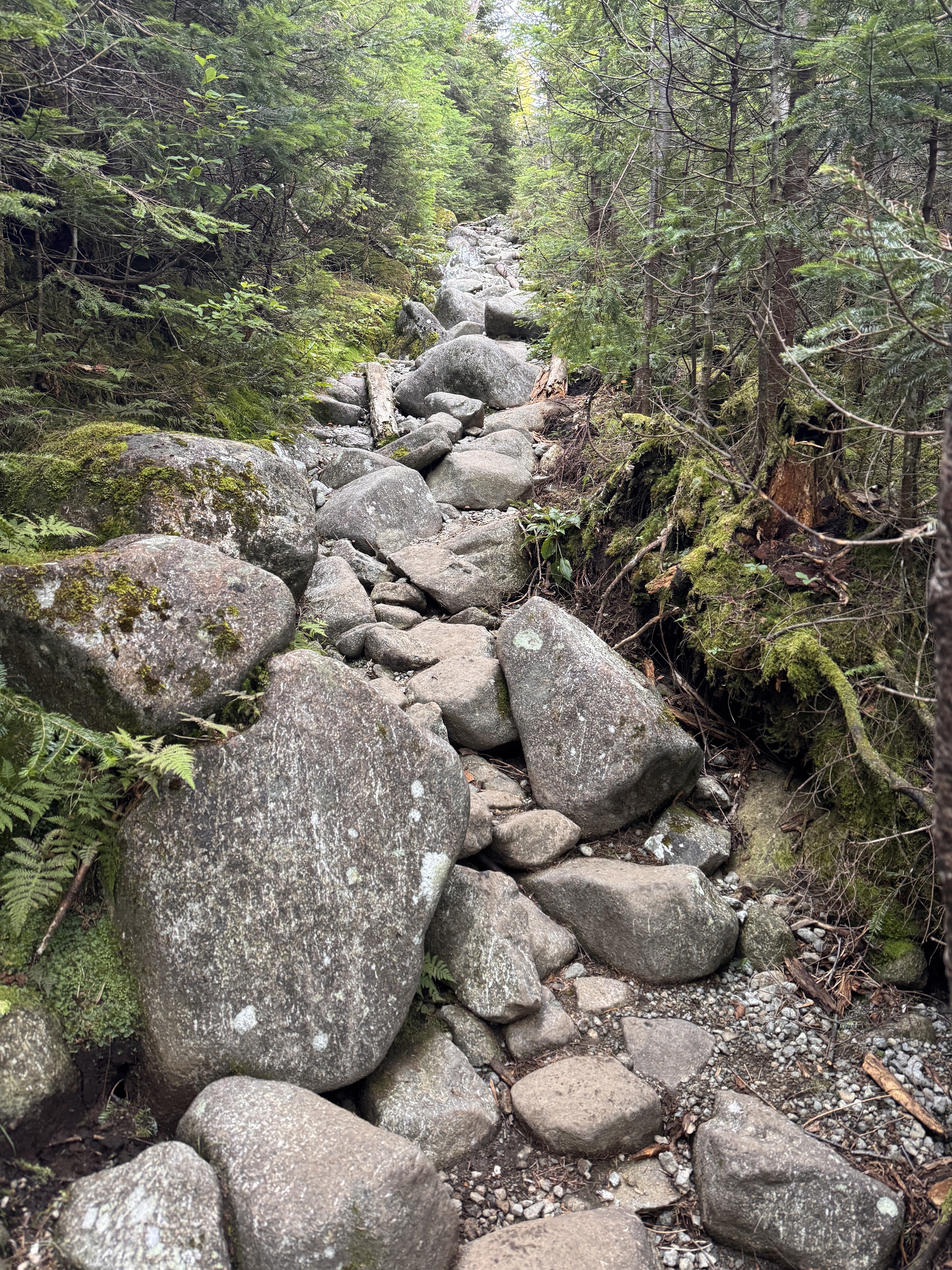
I frequently wondered (sometimes out loud) WHO PUT ALL THE ROCKS HERE!
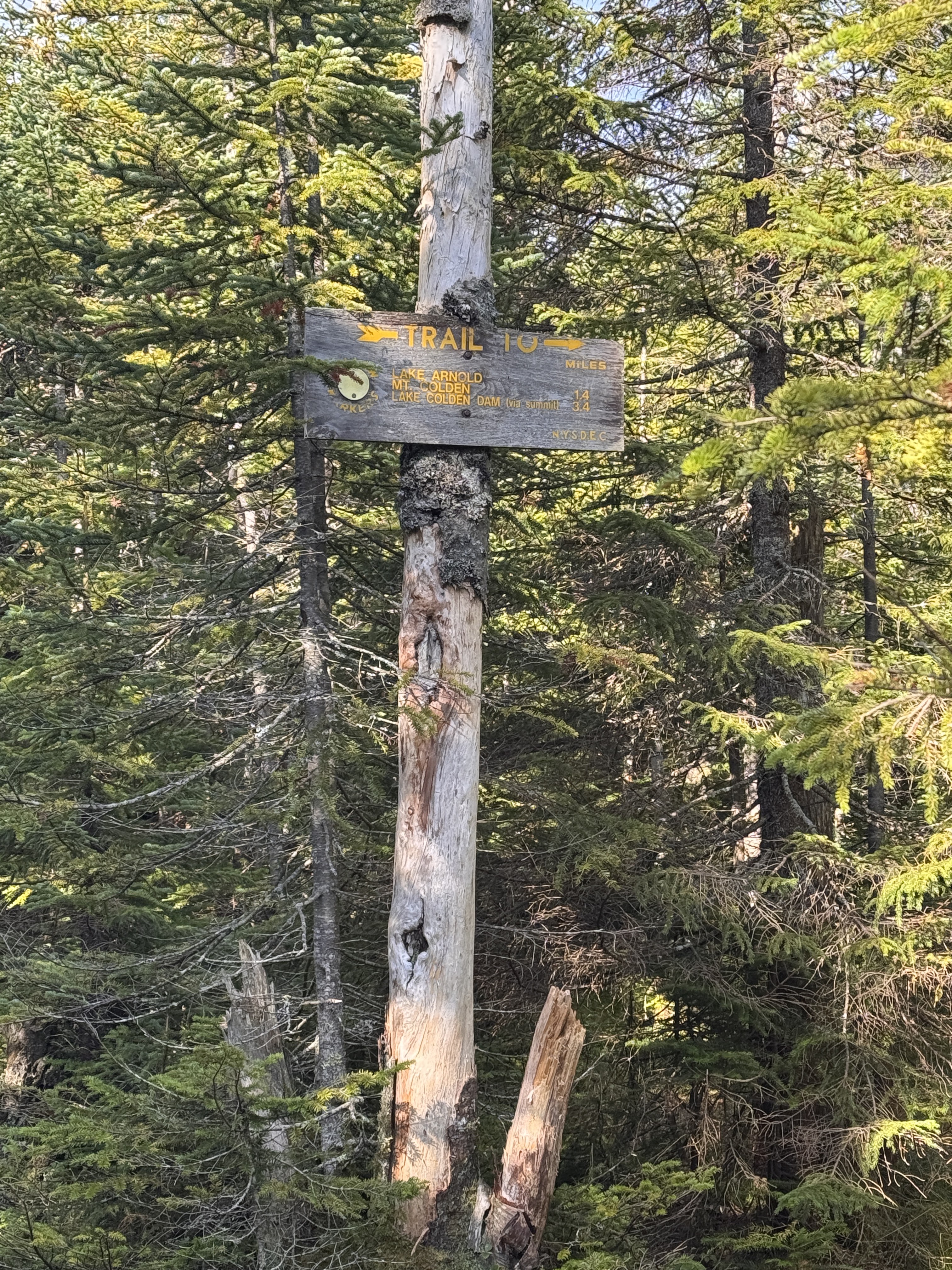
After just 20 minutes, we reached the next junction. I had a moment of indignation when I read that somehow we were still no closer to Marcy than we were 0.4 miles ago – this sign also says Marcy is 4.0 miles away. Crosschecking with the map now, this sign is correct.
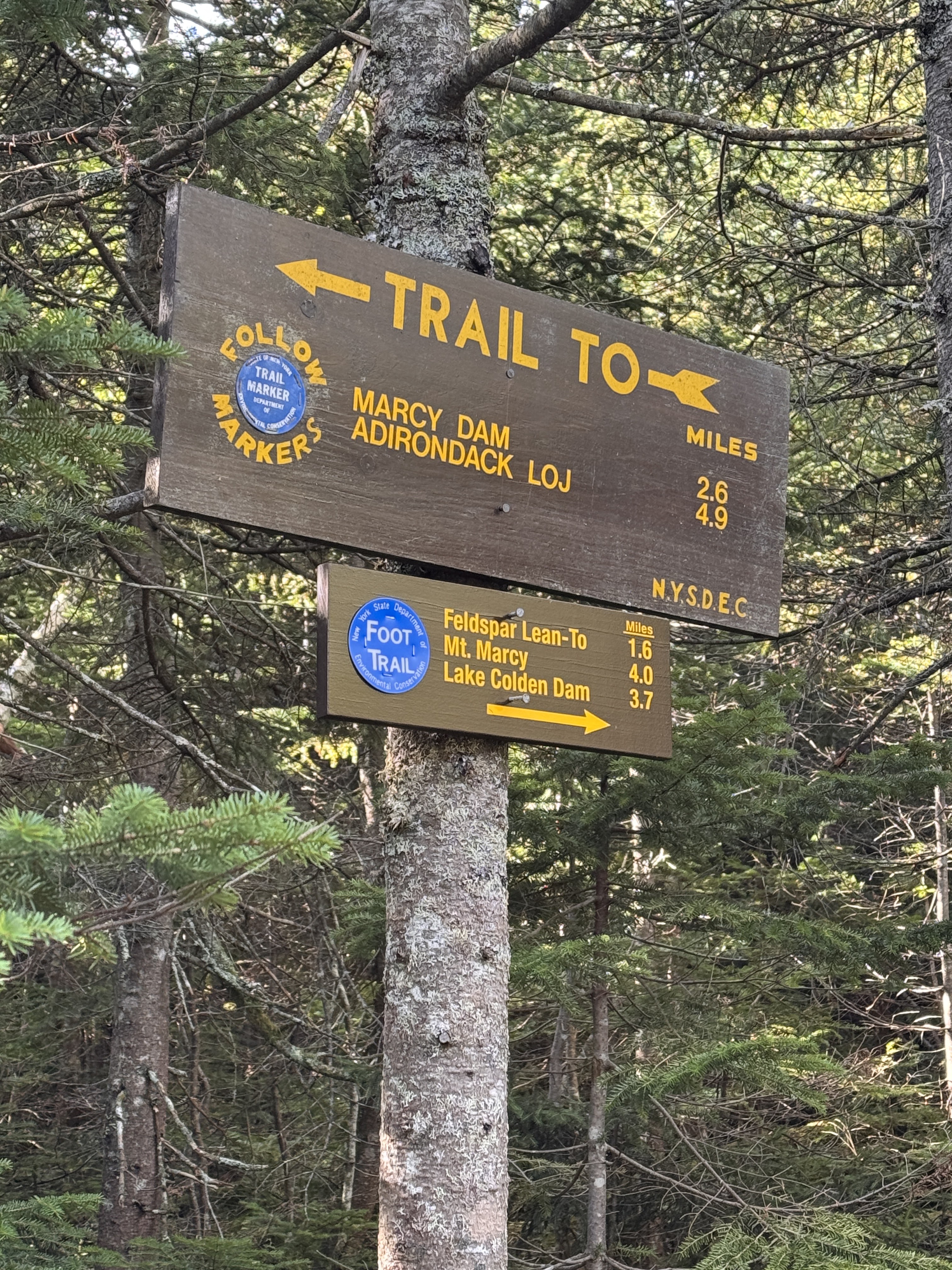
Next up – 1.7 miles of gentle downhill to Feldspar brook. It’s always so demoralizing to lose elevation when I work so hard to gain it, but it is what it is. We would lose roughly 500 feet to get down to the next junction.
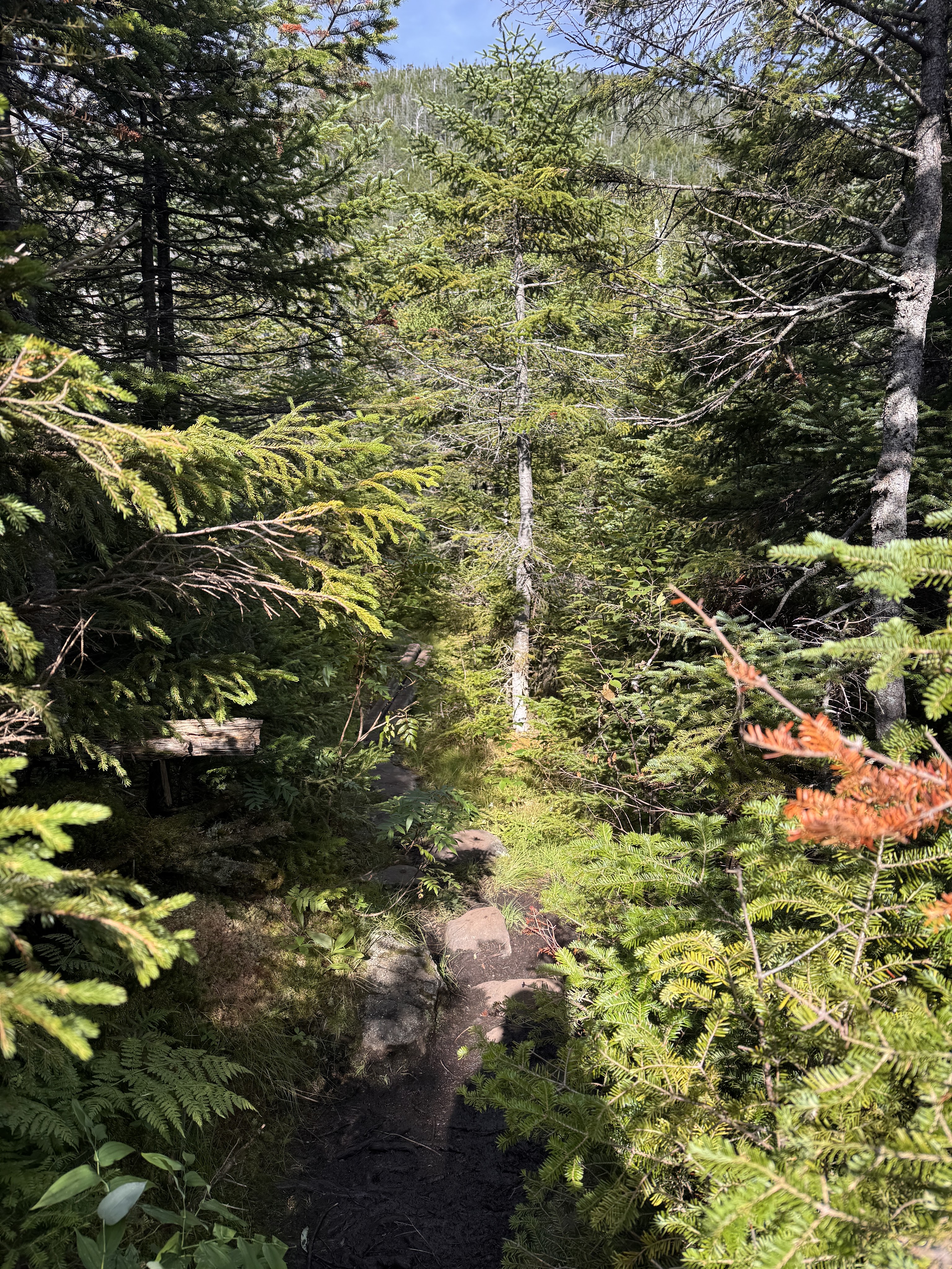
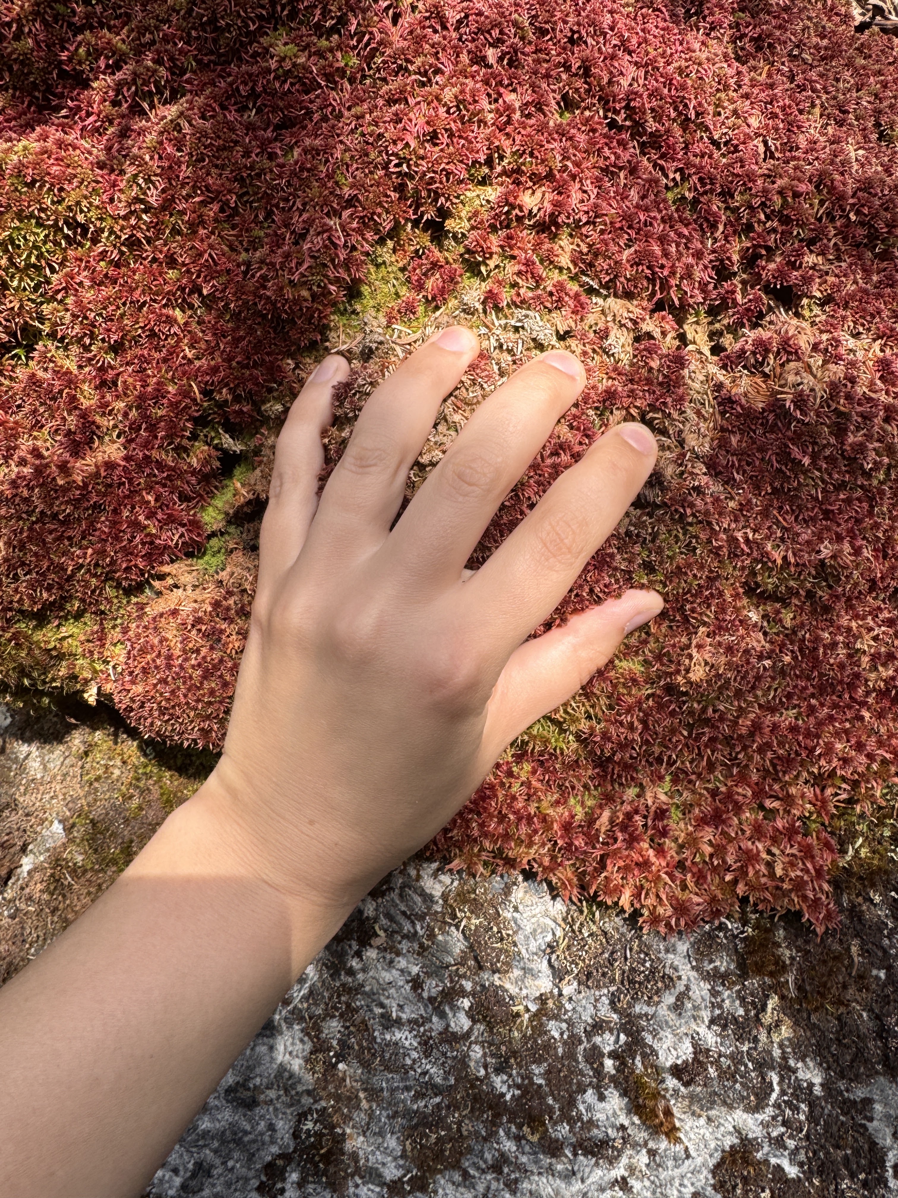
Oh but the moss! THE MOSS!
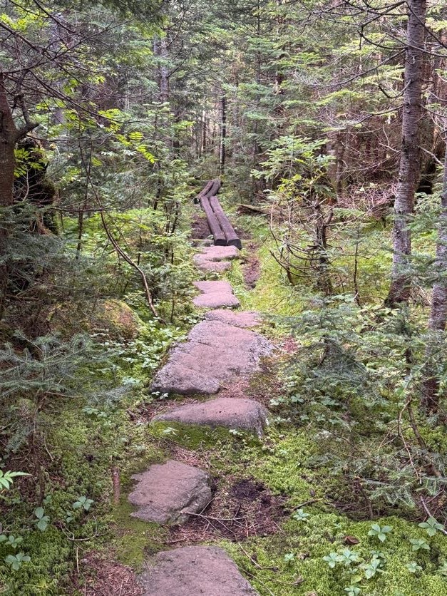
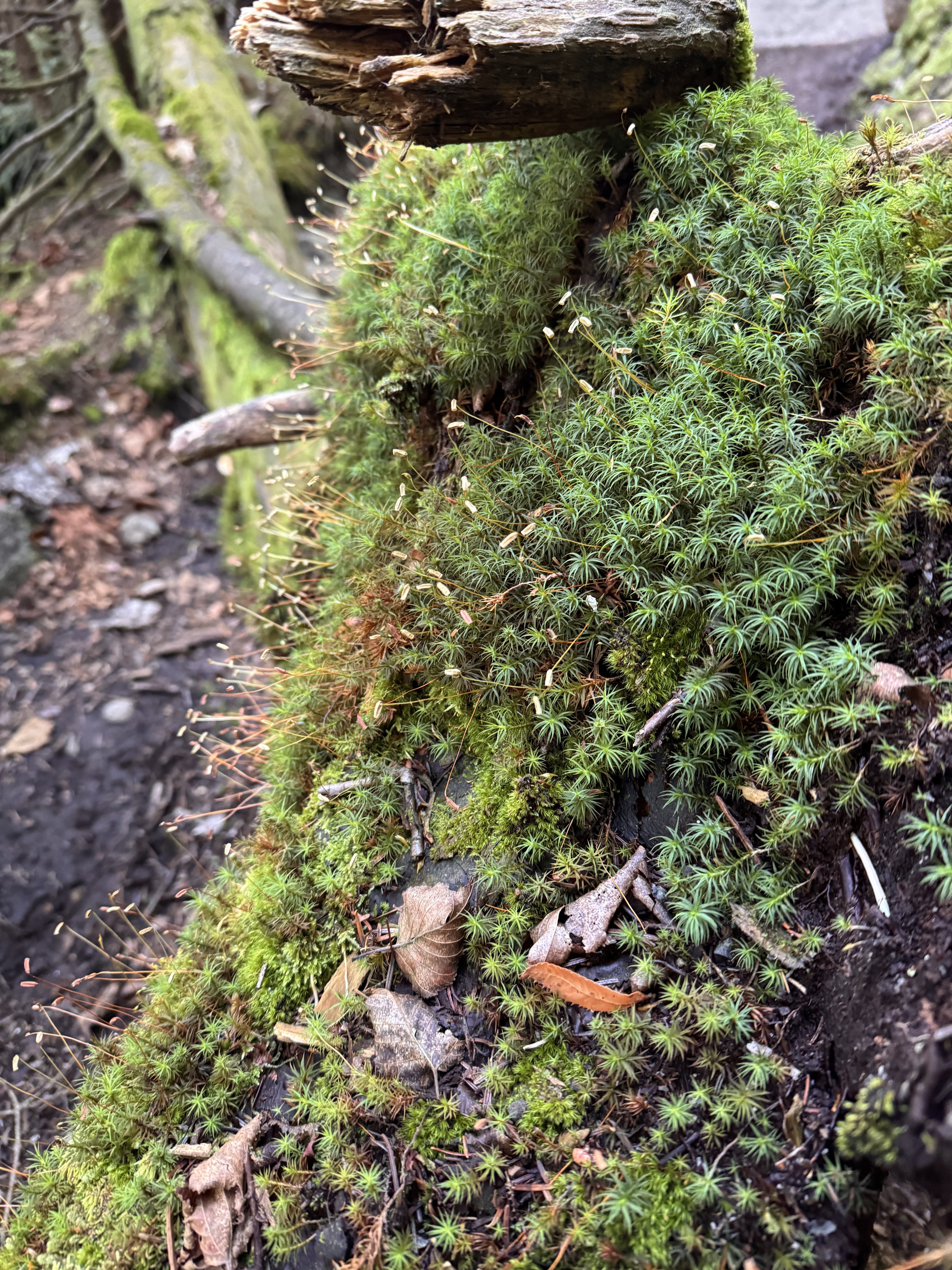
The trail was surrounded by beautiful mosses and mushrooms and loads of pretty little wildflowers. I’ve taken a liking to squishing my hand into the moss and rating it. With the moss on Allen Mountain (26) as a reference for what a 10/10 feels like, this one was a solid 6.
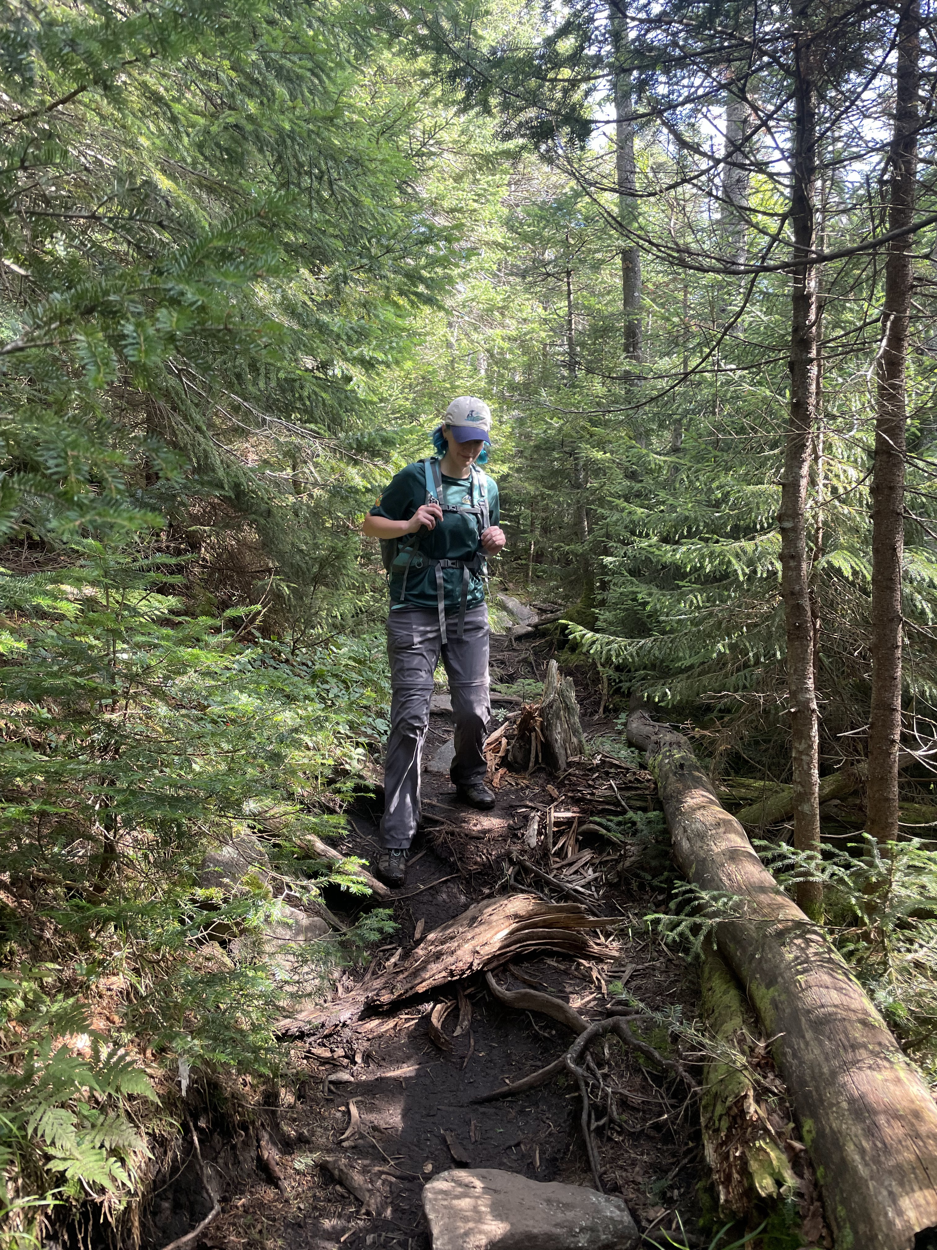
This one wasn’t so squishable but it gets bonus points for coloration – 5/10.
Despite being early in the day, I got princess treatment a few times anyway when Gildo turned to lift me down big drops to help preserve my knees. What a guy.
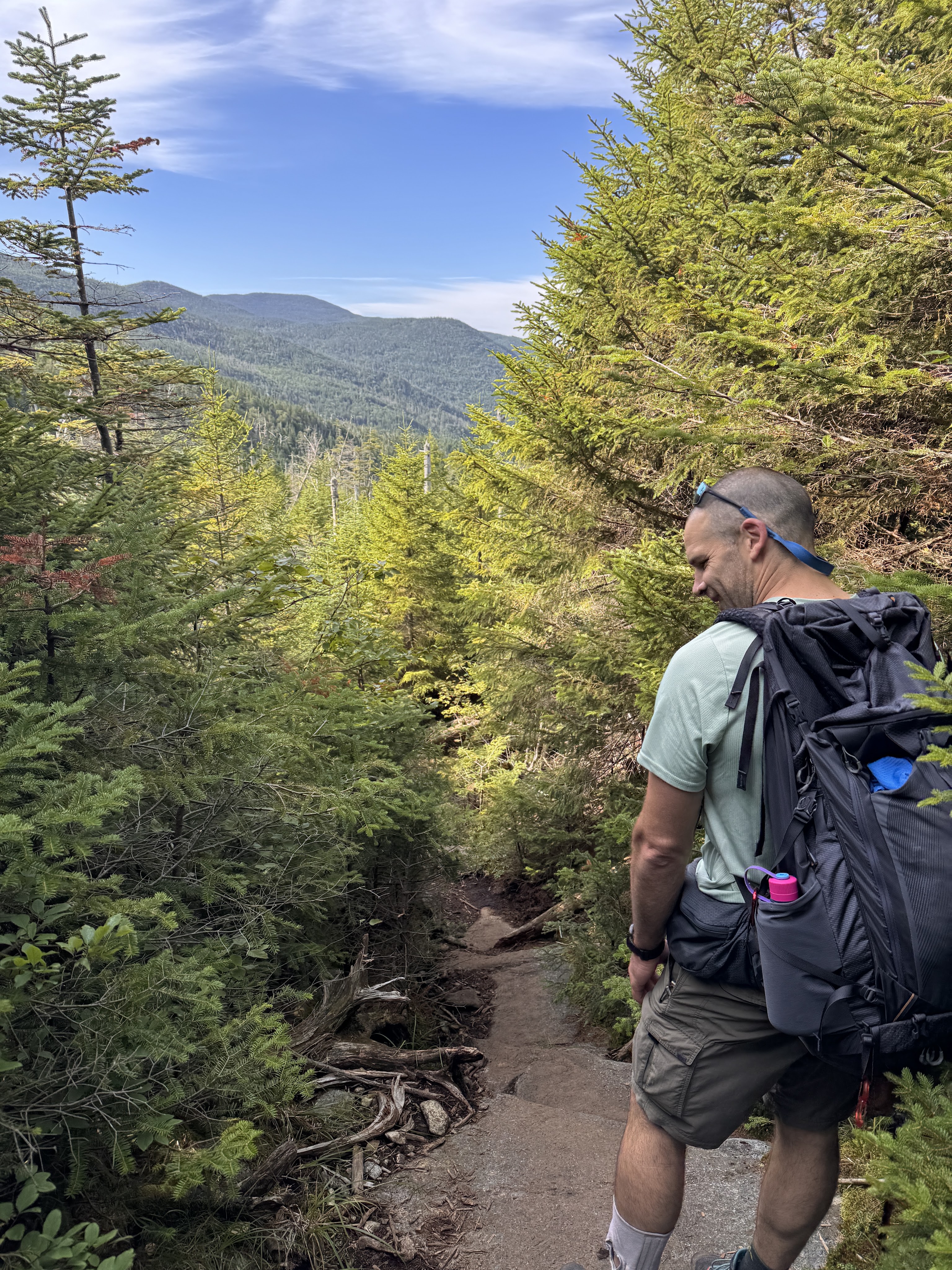
Rather than absolutely drench this report in pictures of mushrooms, here’s a collage of some of the ones we saw throughout the day.
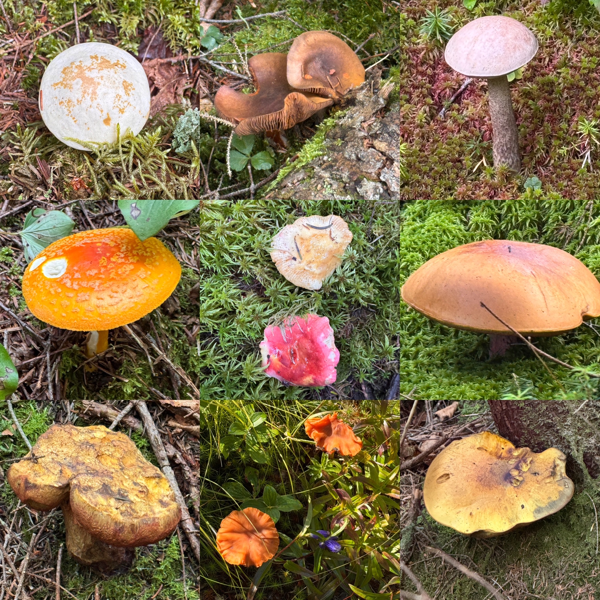
And one of the many pretty flowers.
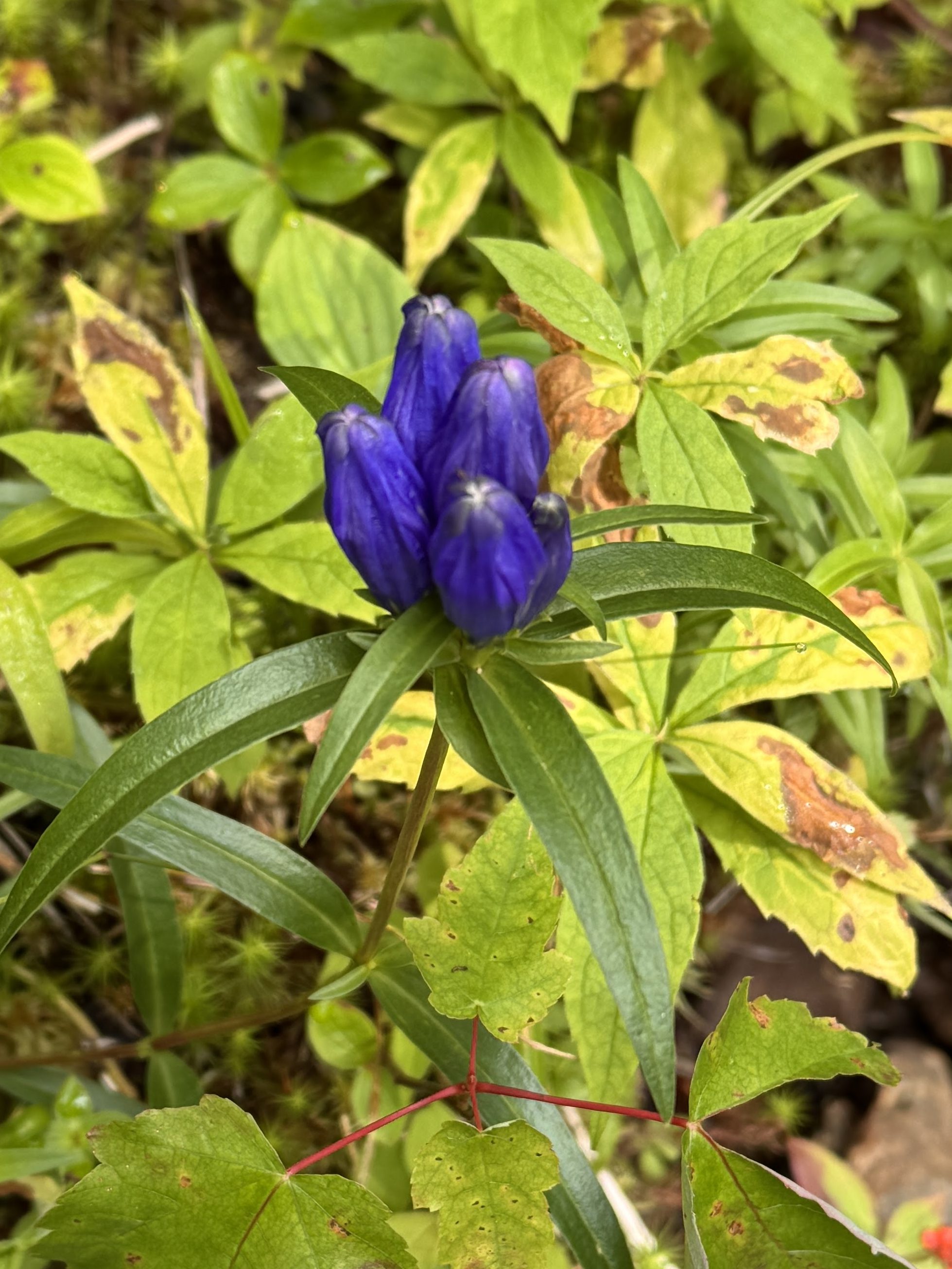
This one had good squish to it – 8/10.
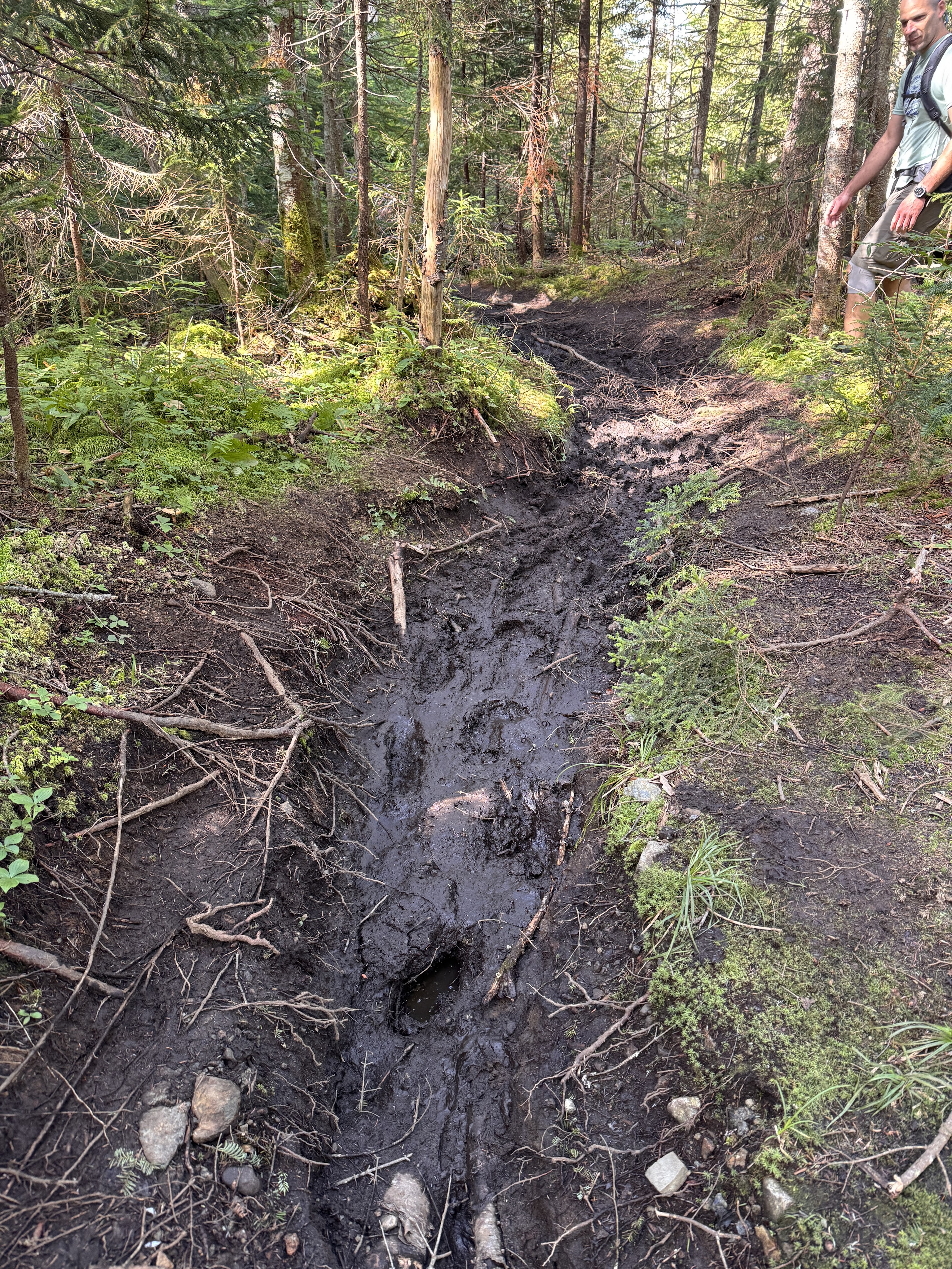
Of course the mushrooms weren’t the only thing that flourished in the rain – the mud was soooo happy. We managed to pick our way through without any major incident though.
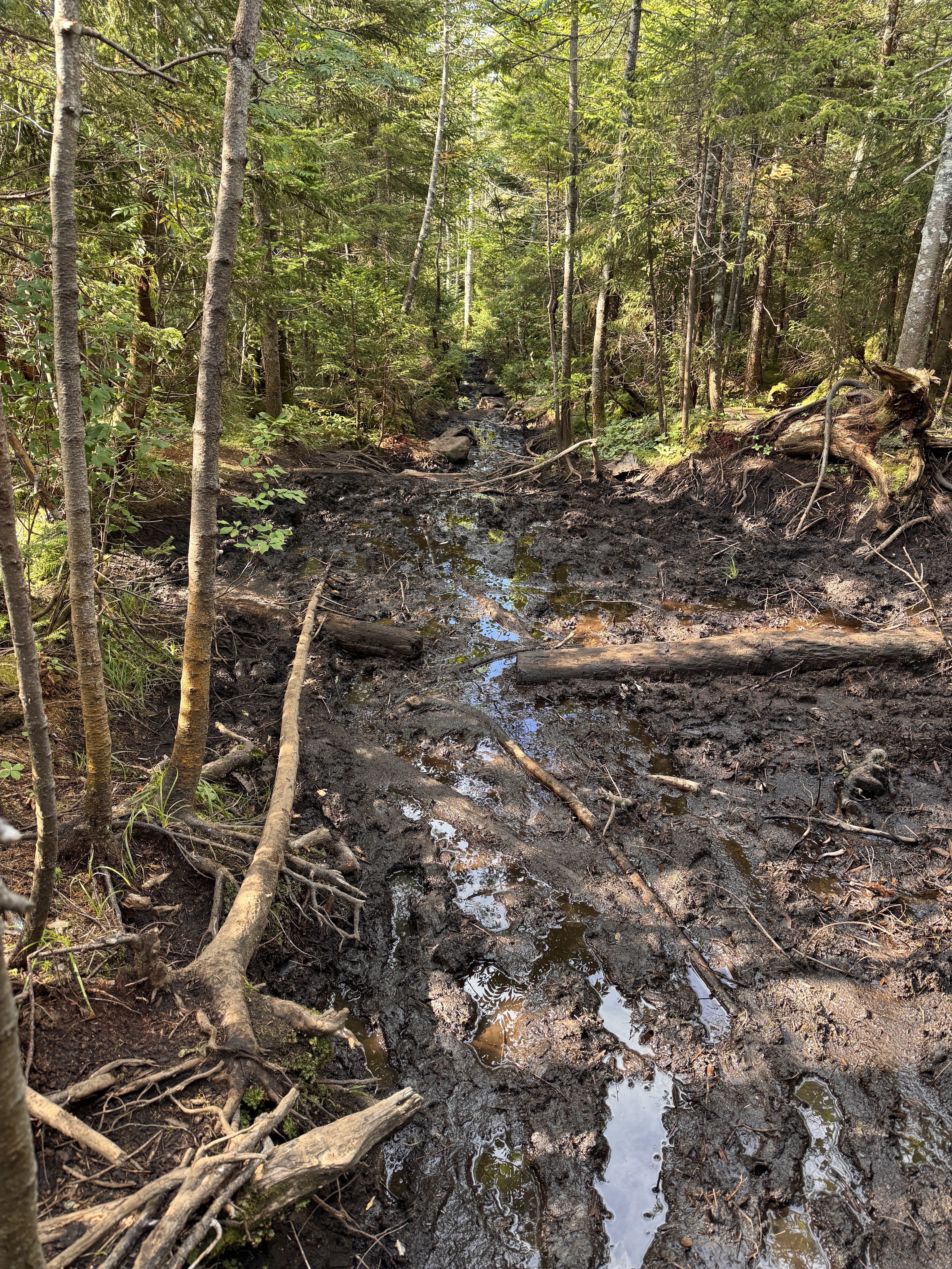
But we saw someone else wasn’t so fortunate!
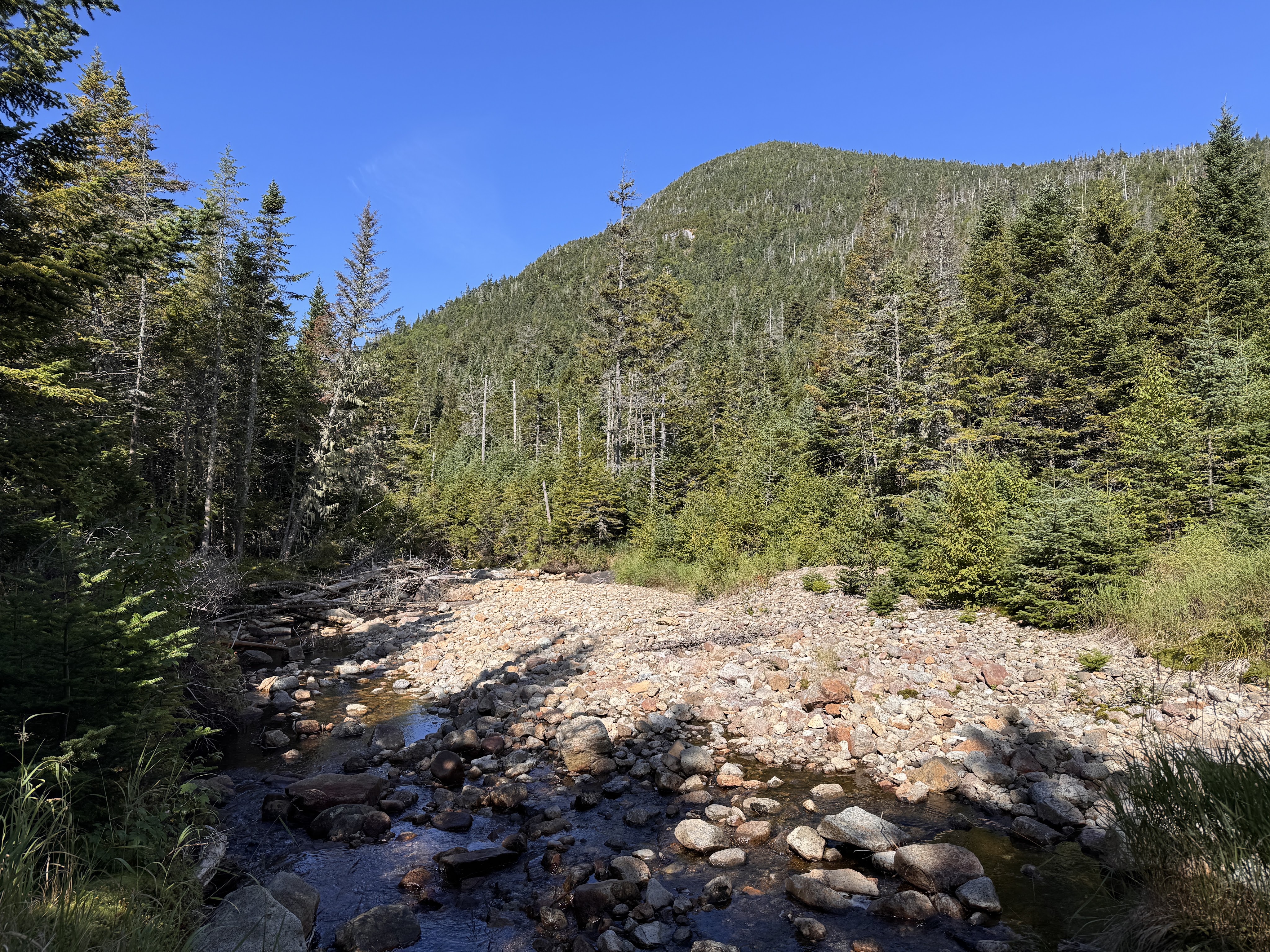
See Mt Colden looming on the right on the other side of this mostly-dried brook.
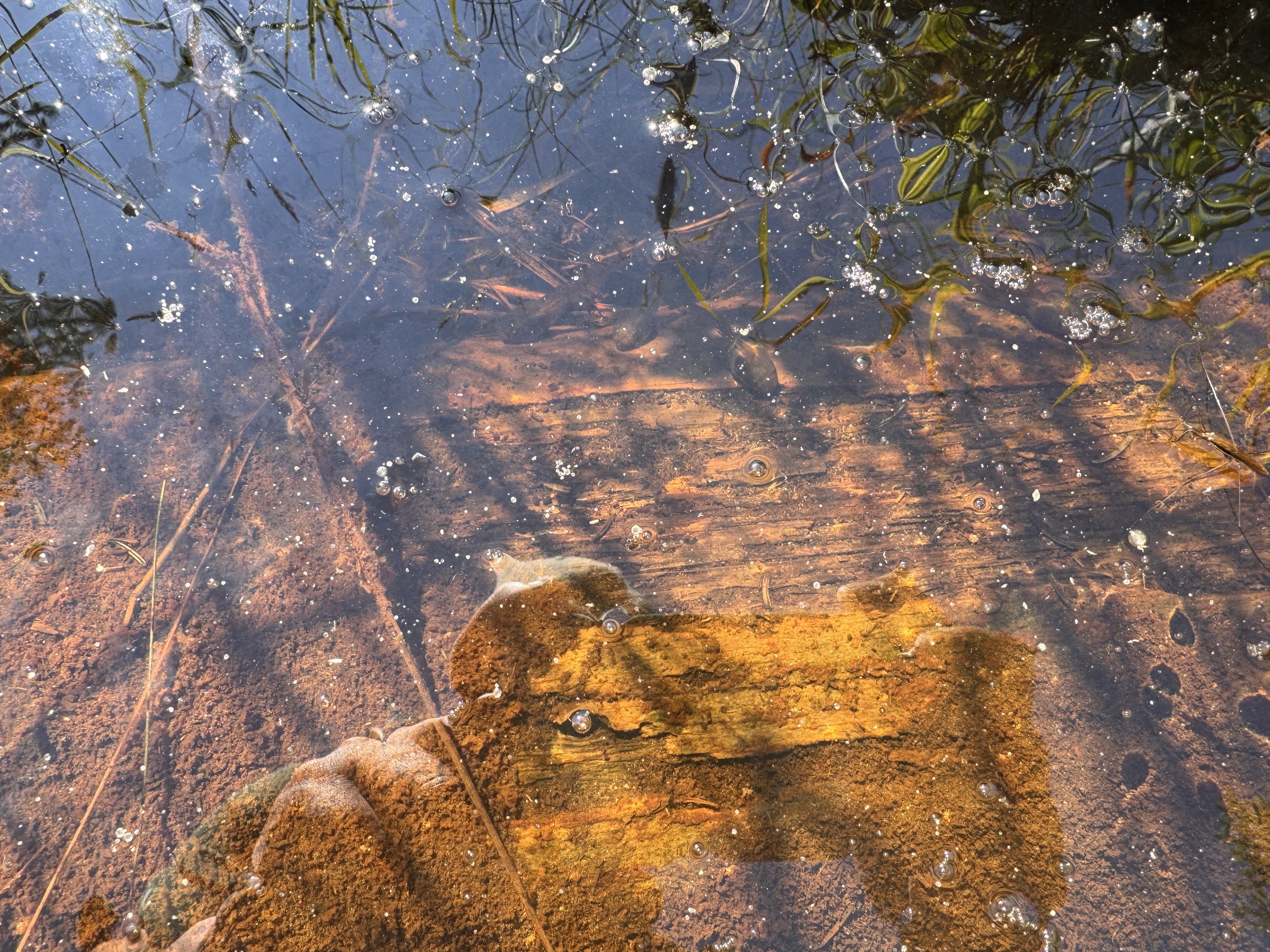
It’s hard to tell but there are a bunch of big tadpoles in the picture below!
Alas, we reached the Feldspar bog and its floating log bridges!
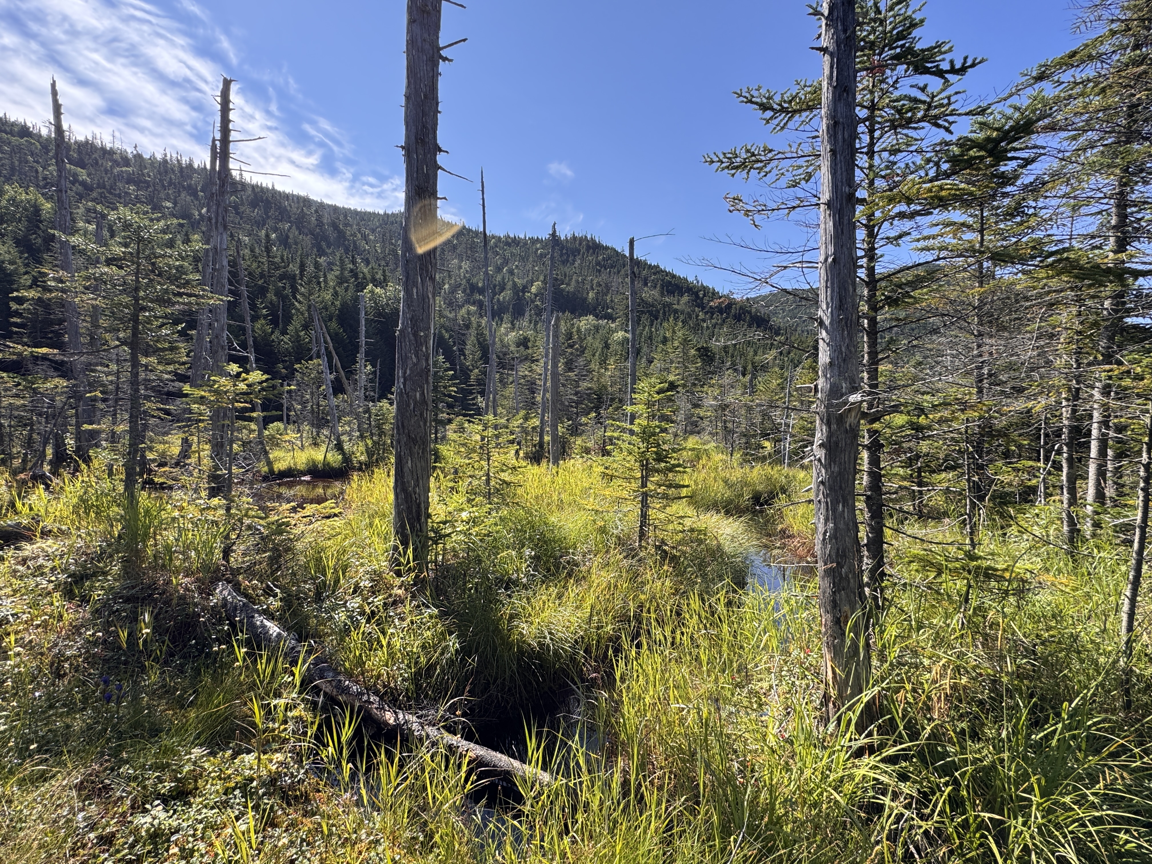
The logs here looked pretty dubious to me. Luckily for us, they were mostly set in place, though they’re known to float about the bog. Gildo tried his luck crossing them, while I crossed a much more stable ‘bridge’ like 20 feet away.
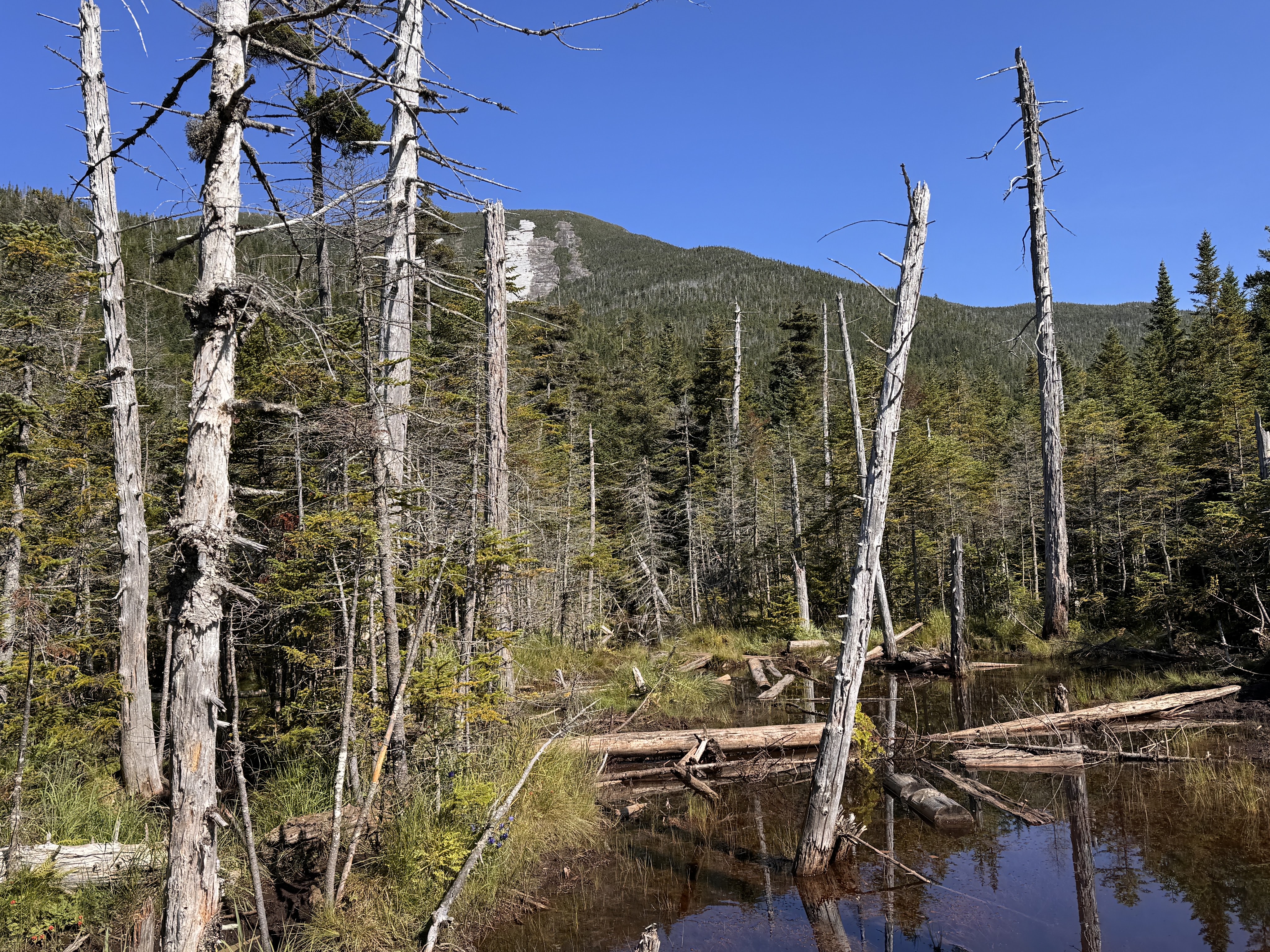
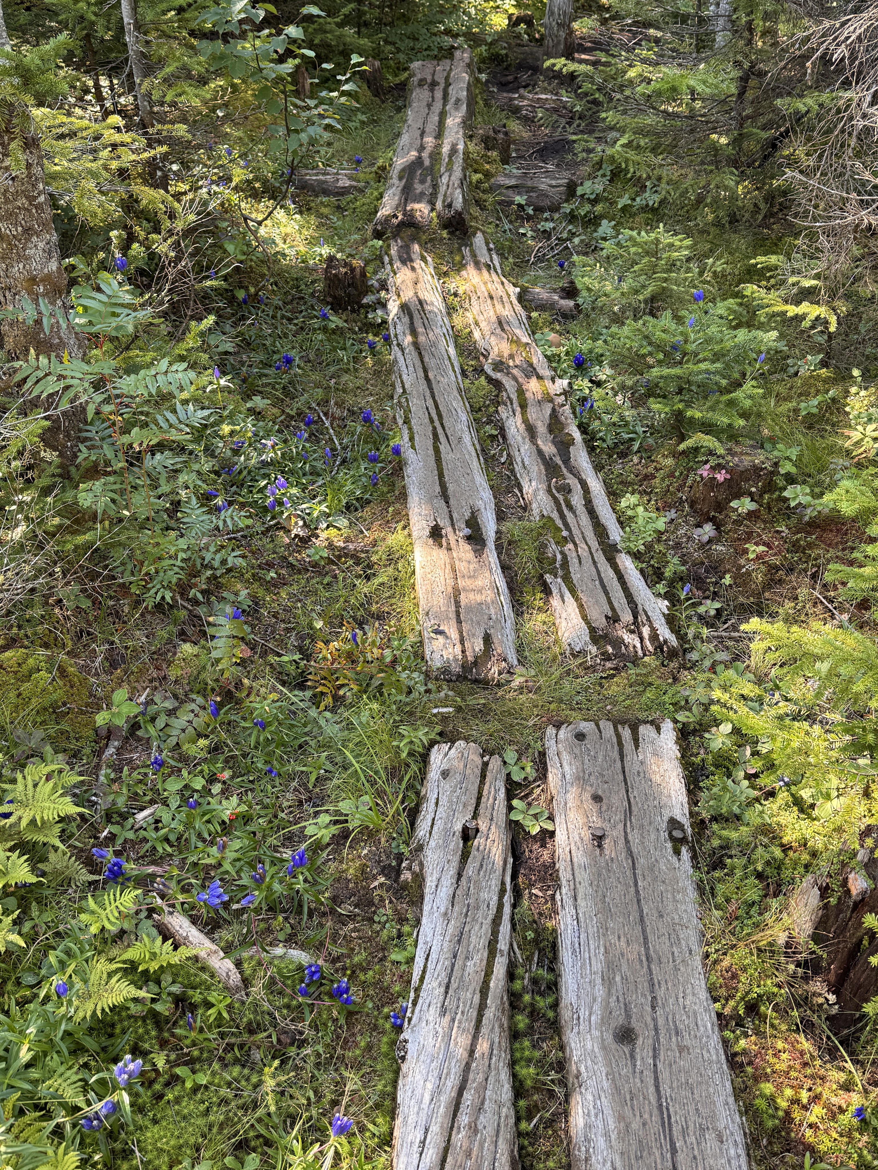
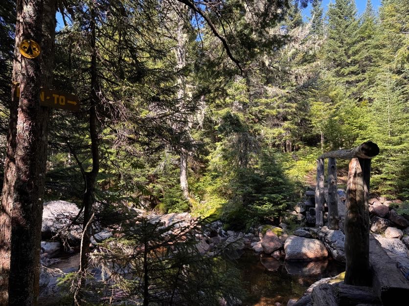
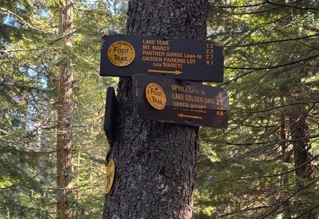
At 10:10 we reached the campsite and the next junction.
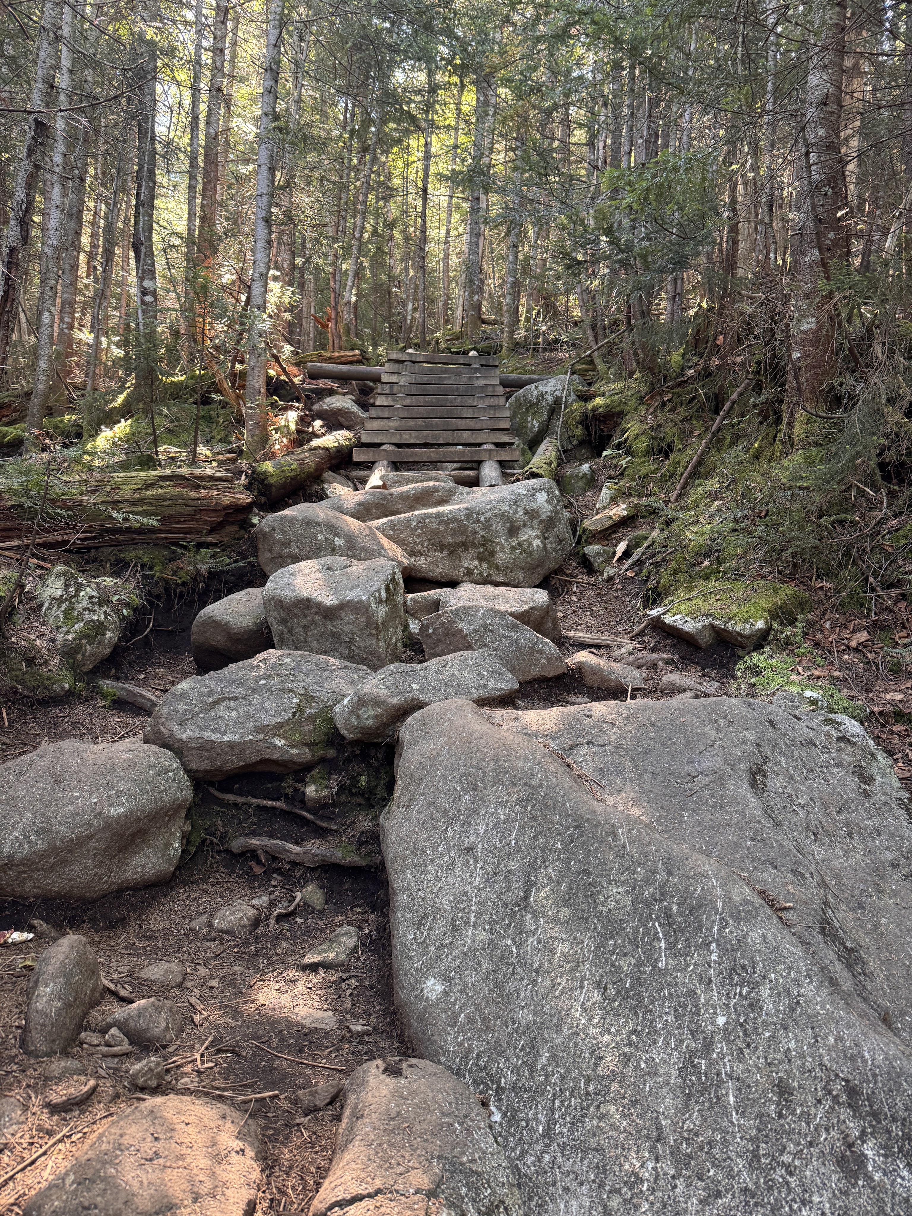
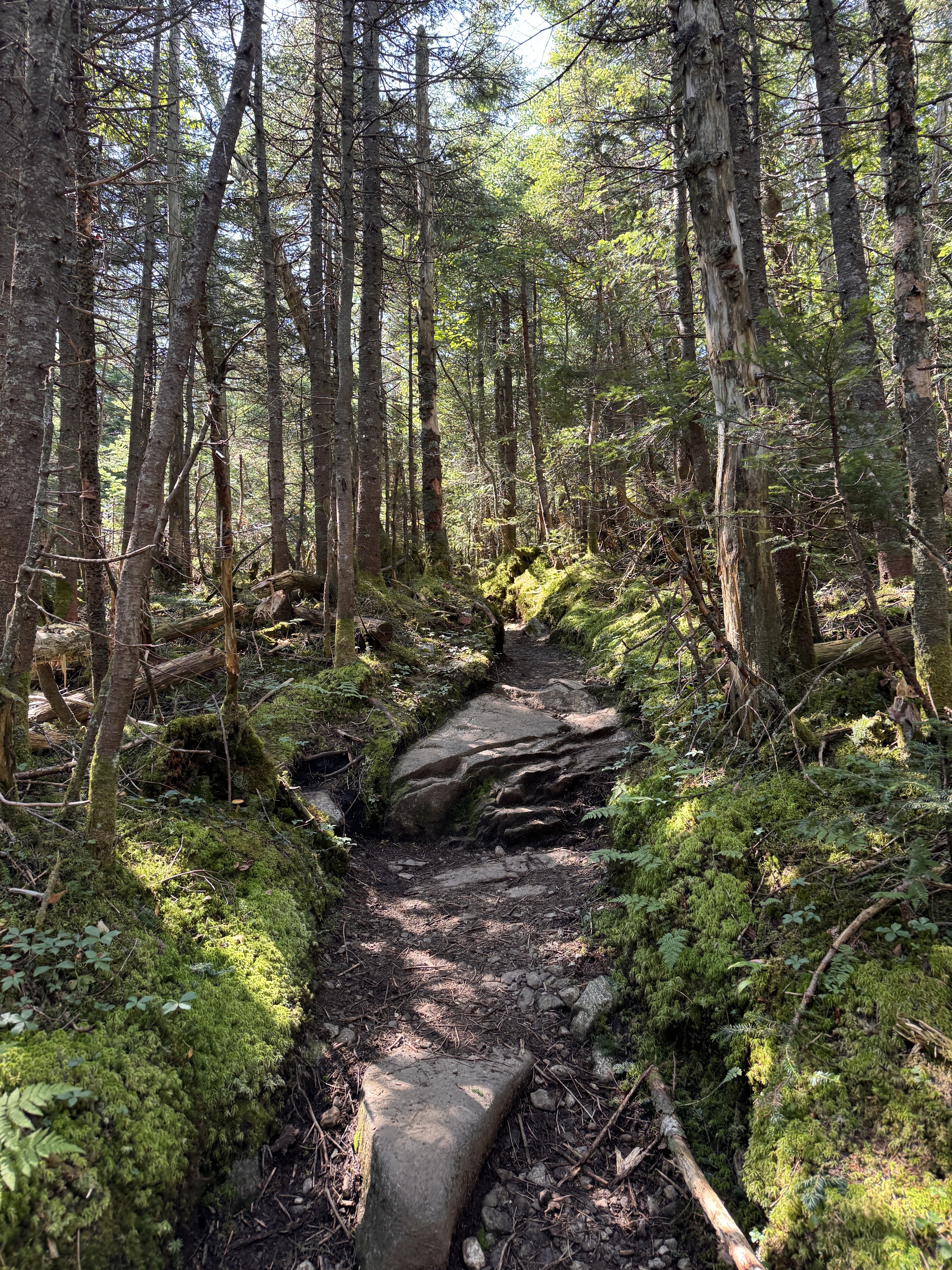
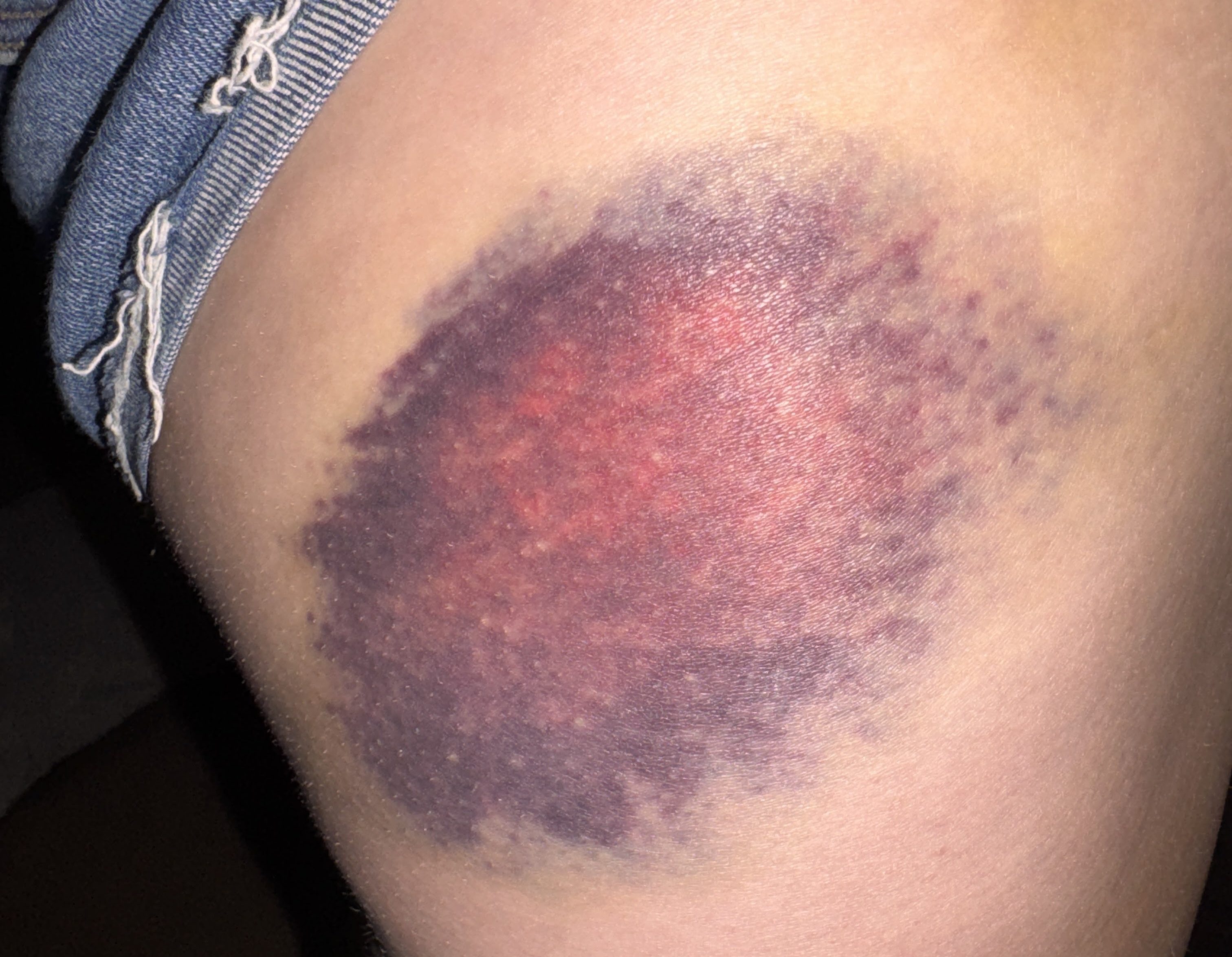
Now just about a mile to go to reach the junction with Gray. I wondered about these stair placed in this particular spot on the trail – why did this spot warrant stairs when no other spot did? Are they there to try to prevent further erosion? I’m not sure, but at some point along this trail I was rudely reminded to not trust rocks when my left foot slipped down a face of one rock, my left foot clambered for purchase but ultimately also slipped off of a rock, and I went down. I hit my hip hard on a jutting rock on the side of the trail and came to rest with my legs splayed out on either side. I knew I’d have one gnarly bruise from this one (receipts at the bottom of this report) but luckily I was more or less fine.
At 11am we reached Lake Tear of the Clouds! I’ve been looking forward to seeing this lake for almost as long as I’ve been on my journey to climb all 46 peaks. This is the highest water source that feeds the Hudson River!
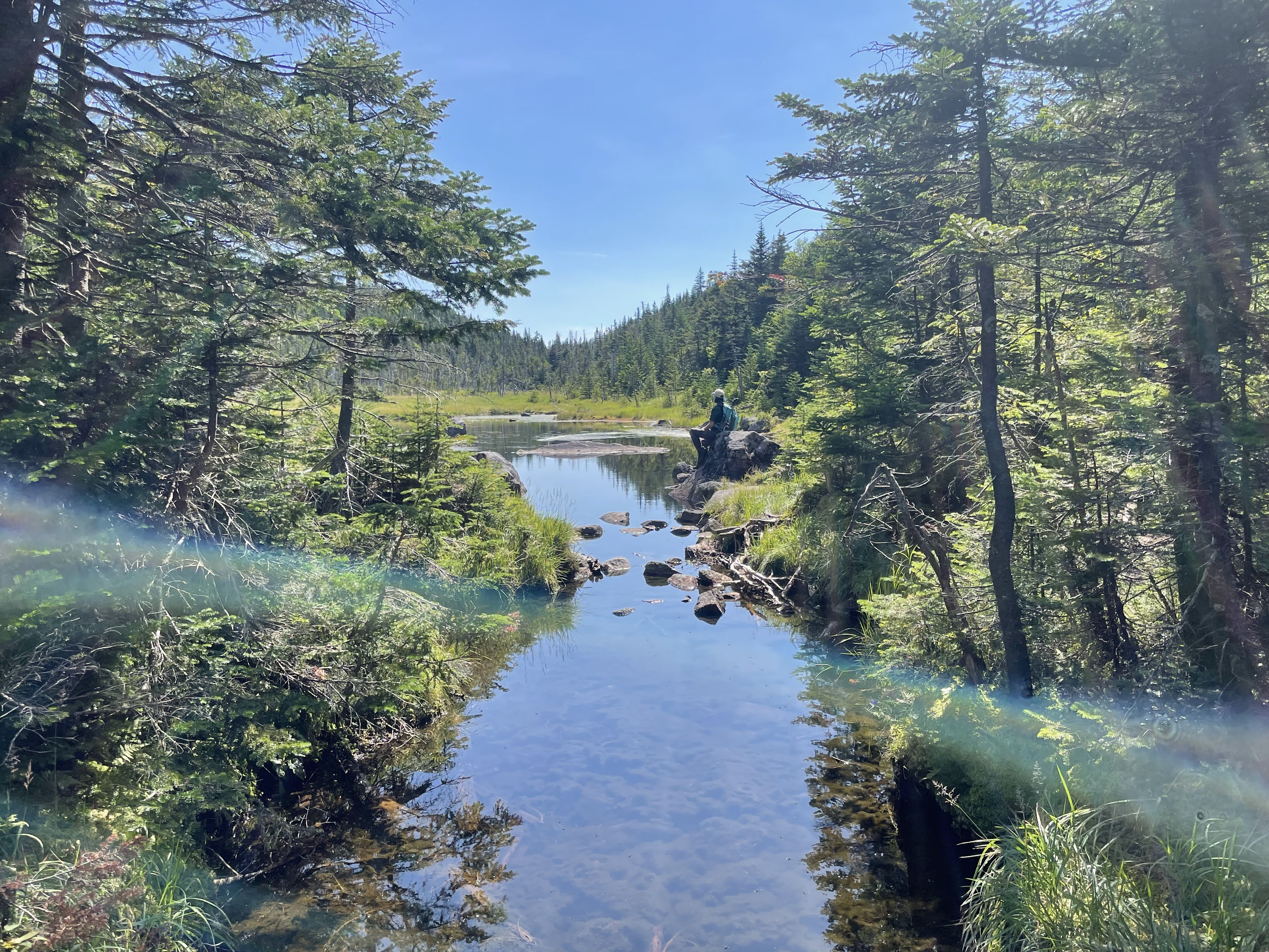
We stopped for just a minute to rest, then crossed the creek just below the lake to make our way up Gray. This is an unmaintained trail and thus doesn’t have any indication of the distance on the map, but it looks to be approximately 0.5 miles to the summit.
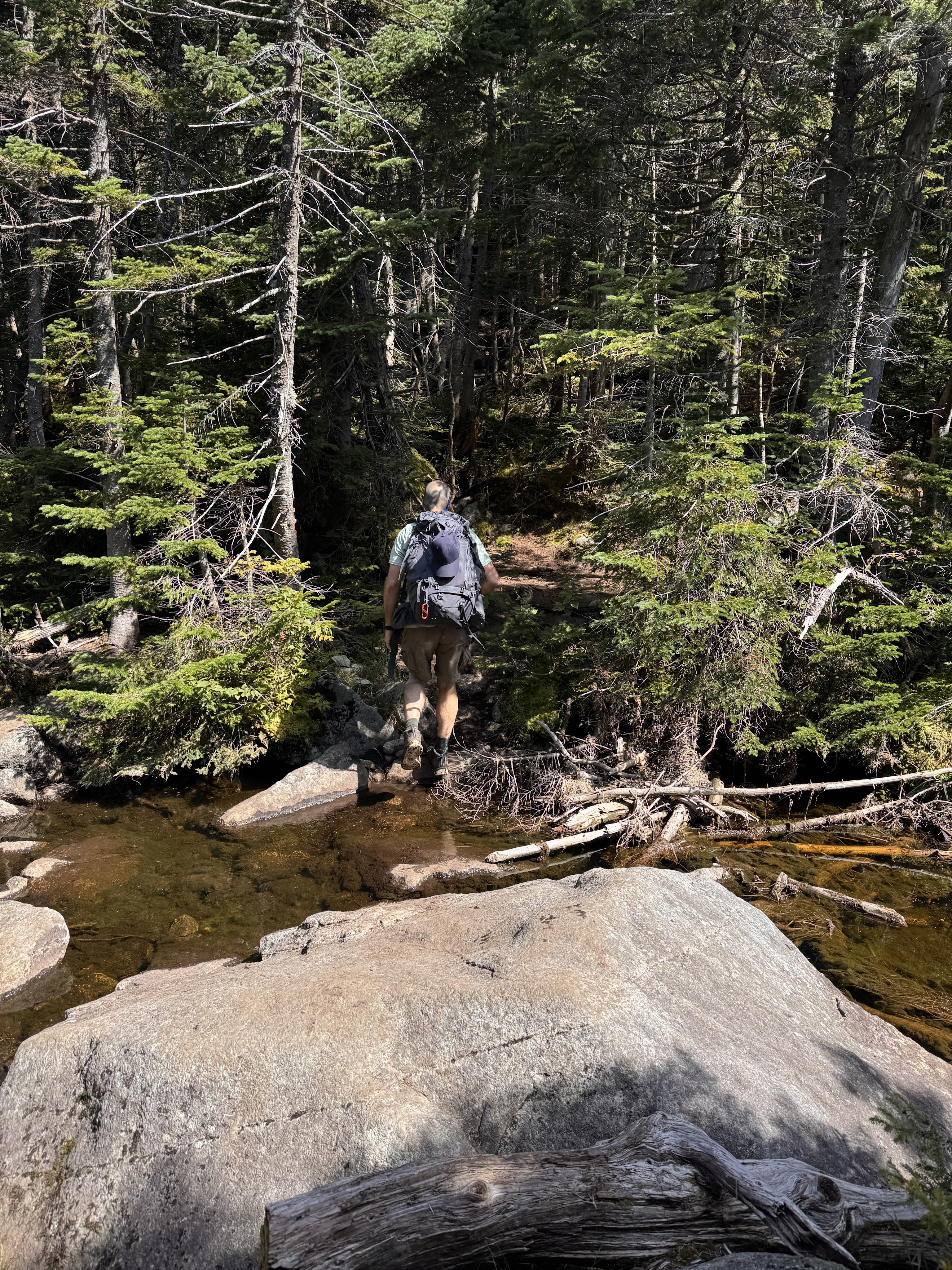
There’s no cairn or sign to indicate when to turn to go up Gray, but there is a fairly obvious opening in the trees on the other side of the creek just before reaching Lake Tear of the Clouds.
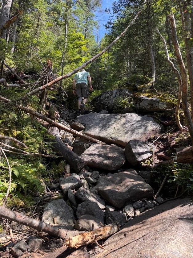
We stashed our bags at the col to make it a little easier to scamper up and down. This trail was expectedly rugged with its steepness, boulders, and bare rock faces, but nothing unmanageable.
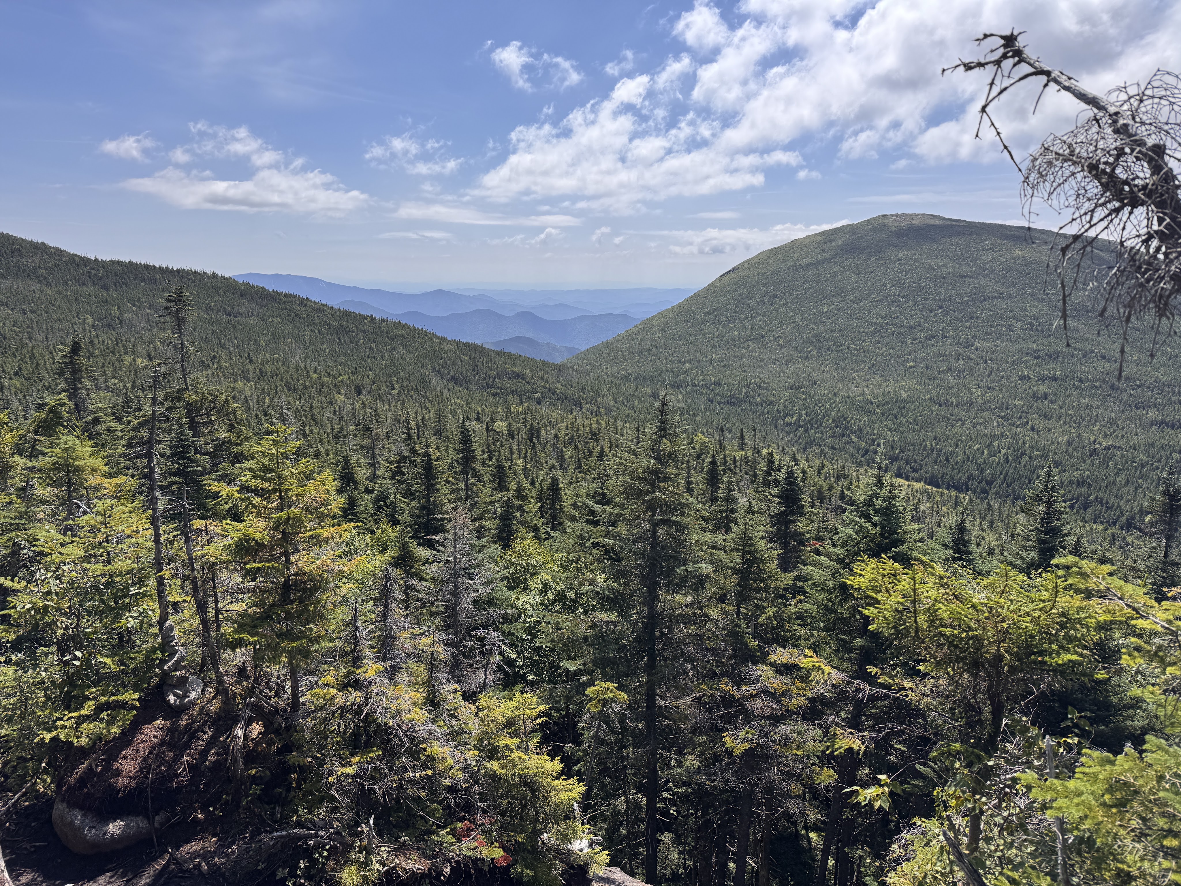
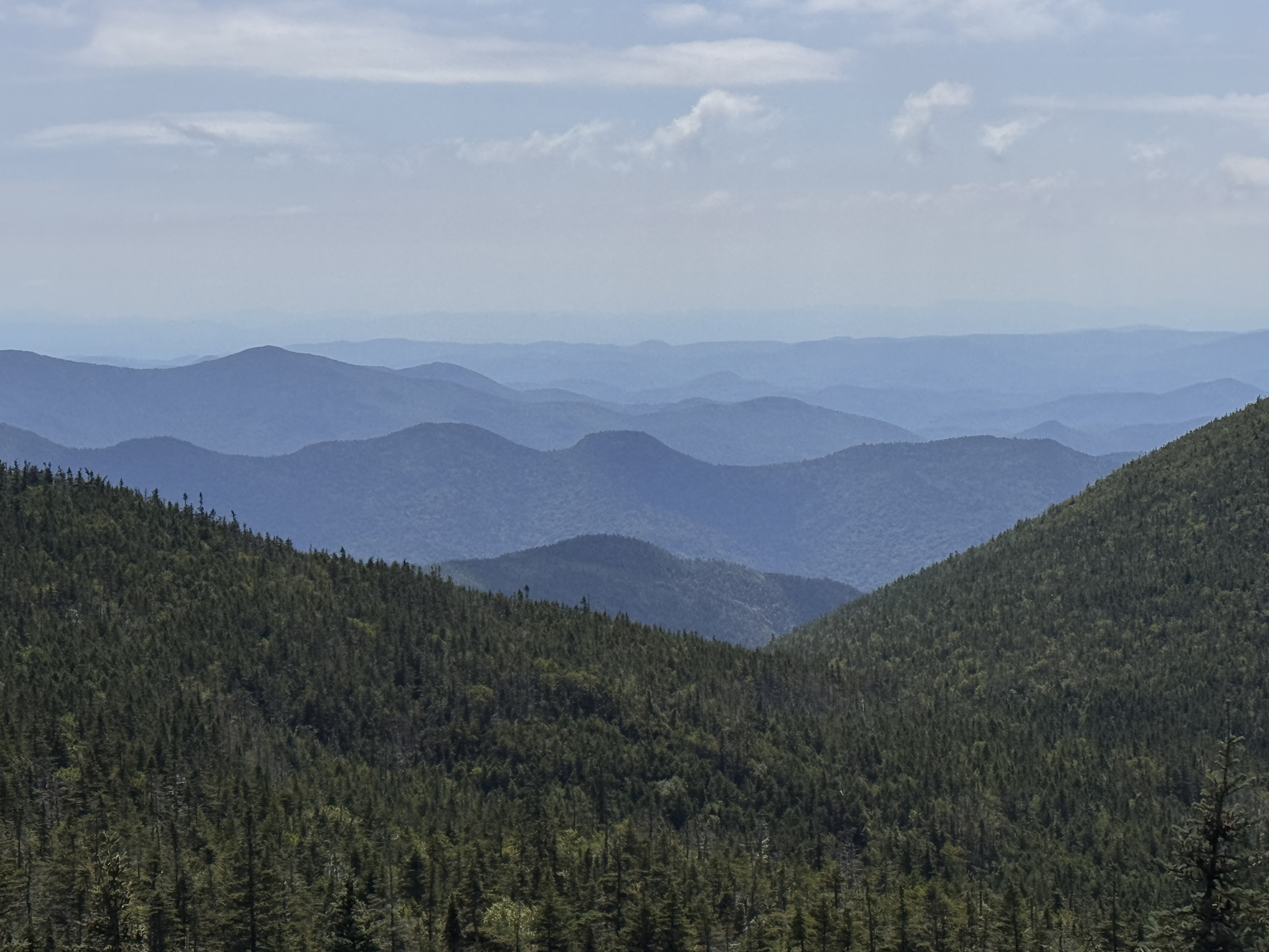
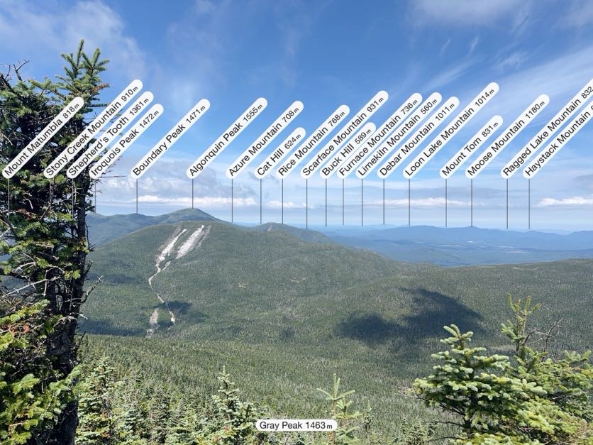
I thought there were no views on the way up Gray and was so pleasantly surprised by the ones we had! Though it was intimidating to look back down at Lake Tear and see Skylight looming behind it.
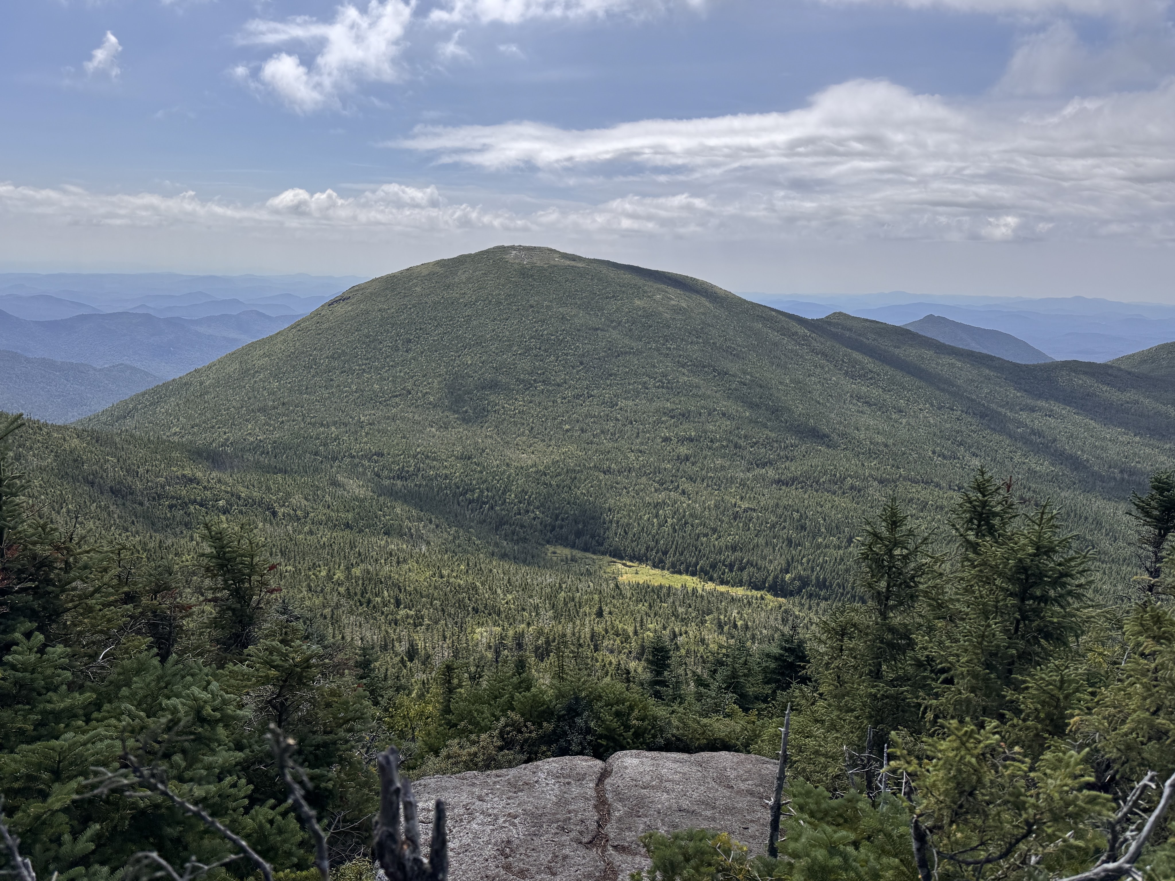
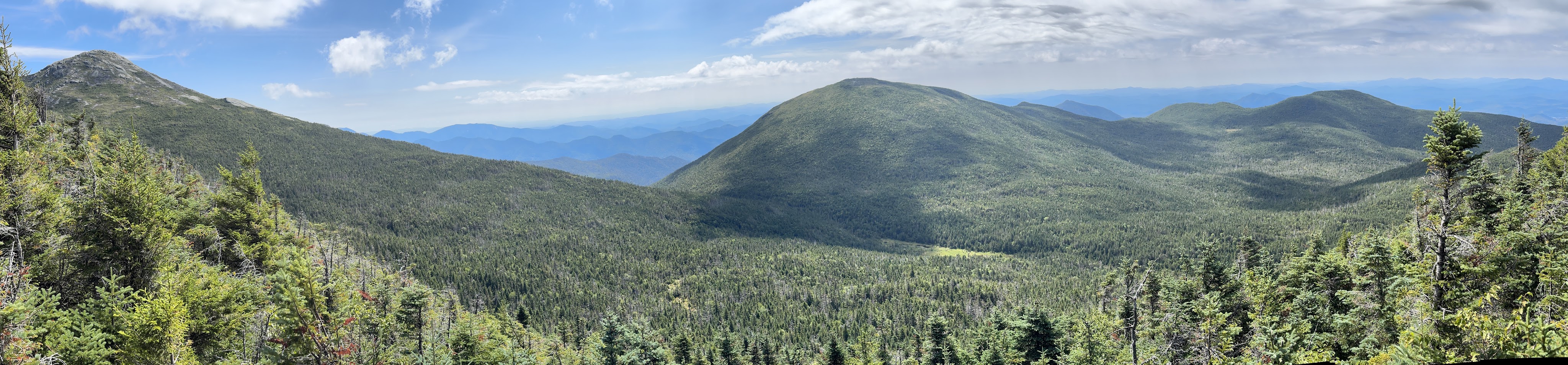
Even more intimidating was Marcy, on the left of the panorama below.
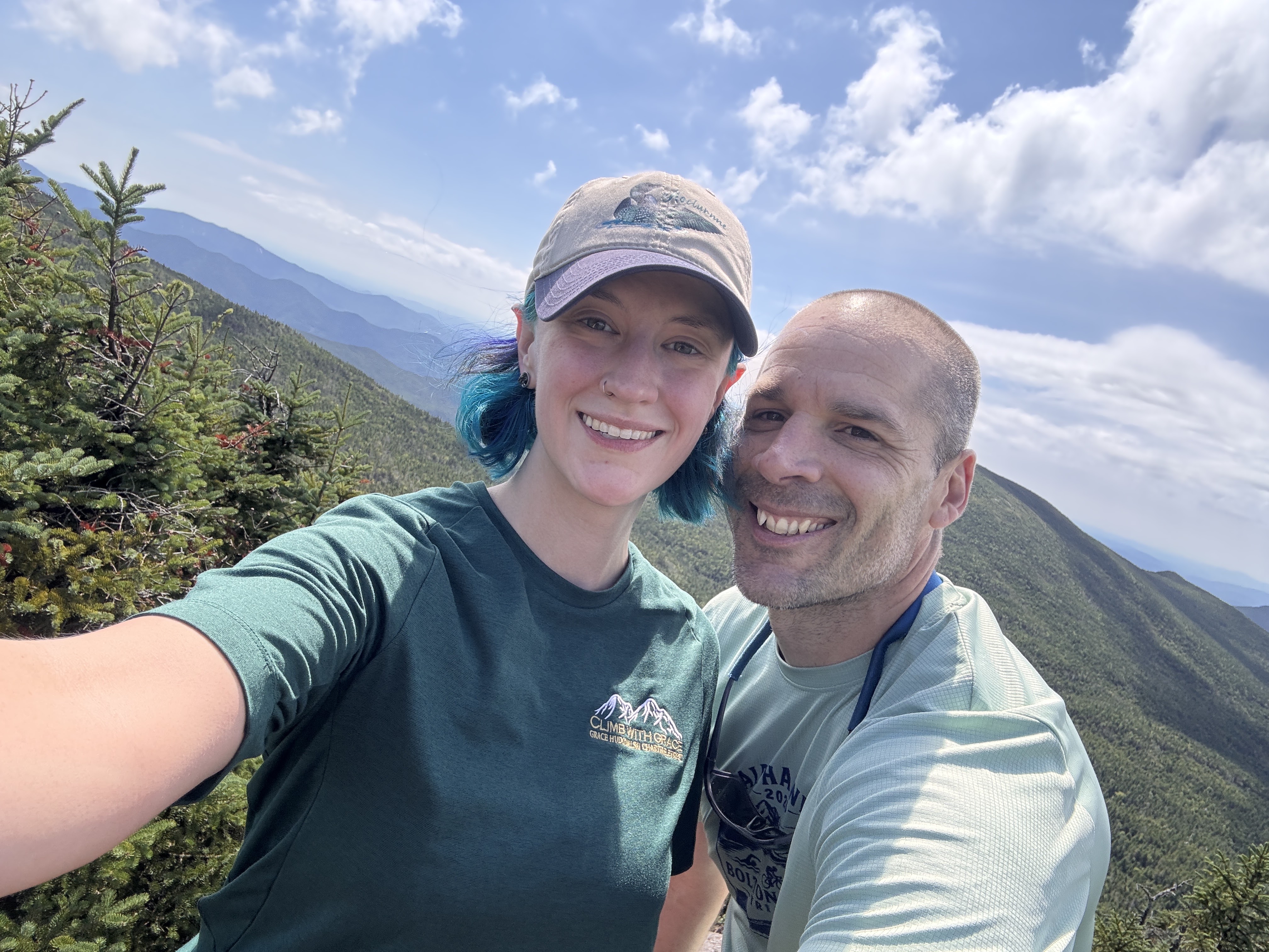
We reached the summit 25 minutes after leaving the col, at 11:40am.
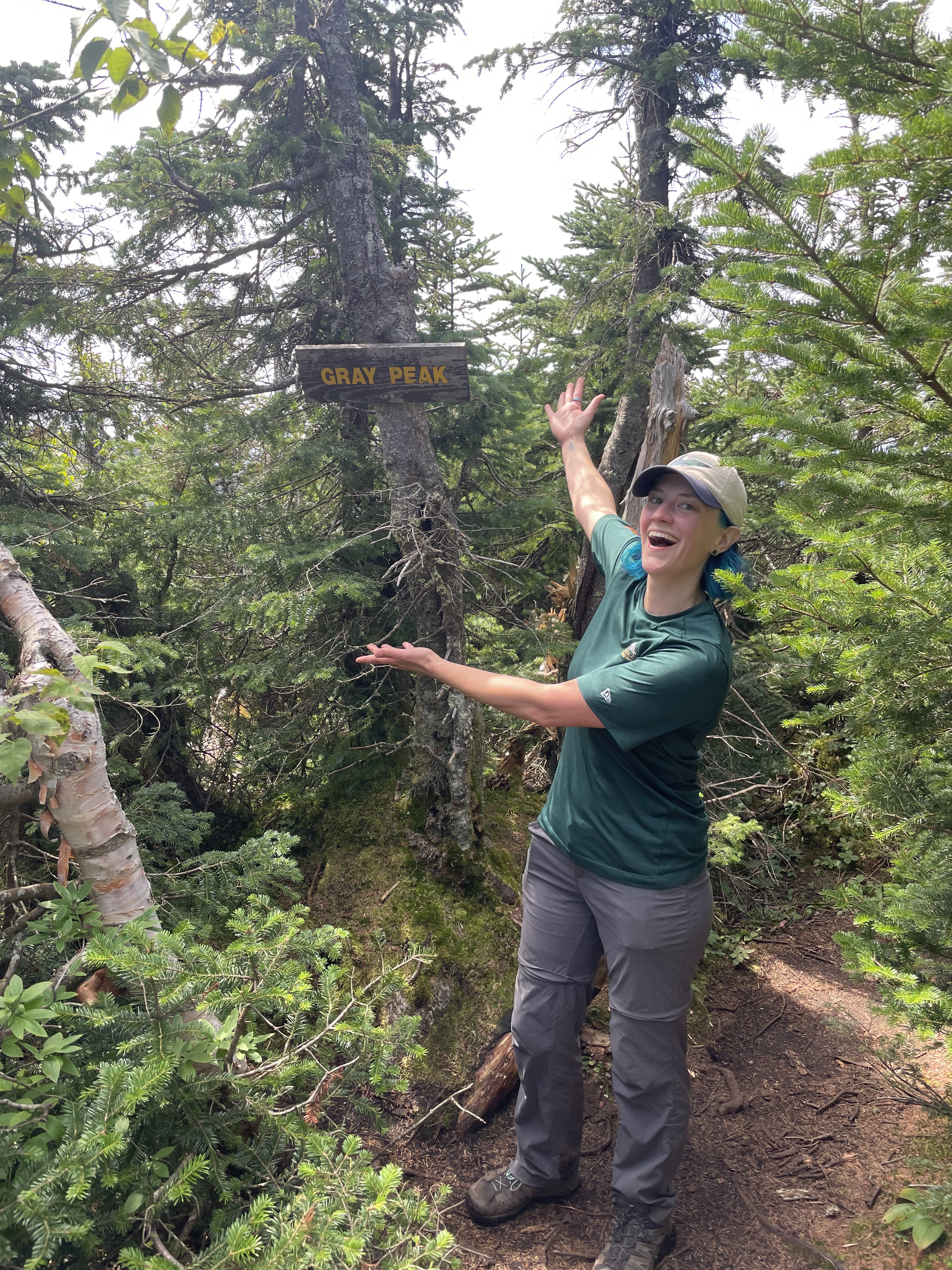
We stuck around just long enough to snap a few pictures (the one below courtesy of my Peakfinder app) and locate the summit marker. The true summit of Gray is wooded, but it does currently have a sign!
We wasted no time in scampering right back down and once again reached Lake Tear 25 minutes later, at 12:10. This was our first real break of the day. We sat for 20 minutes to filter water and have some lunch before setting our sights on Skylight.
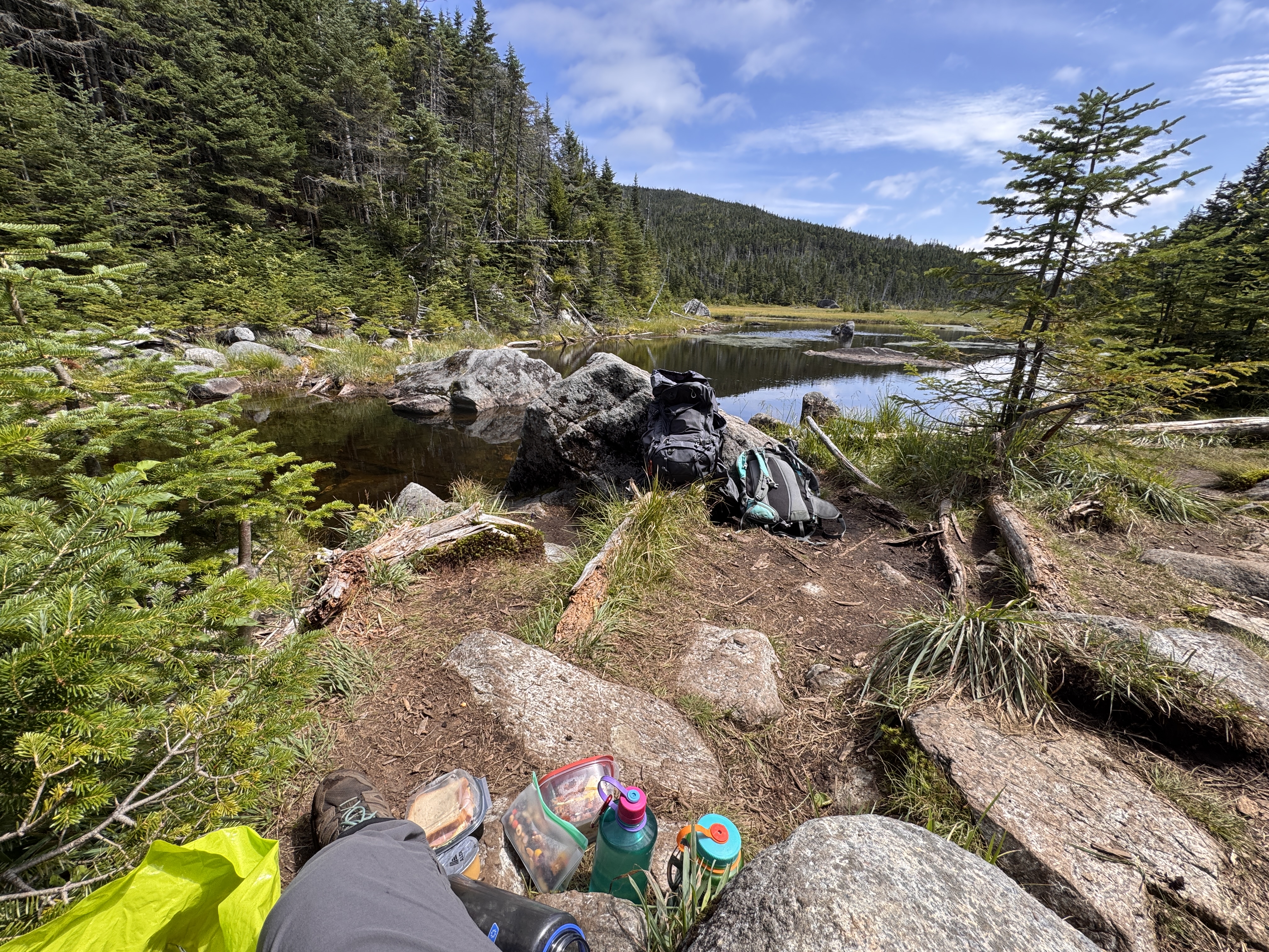
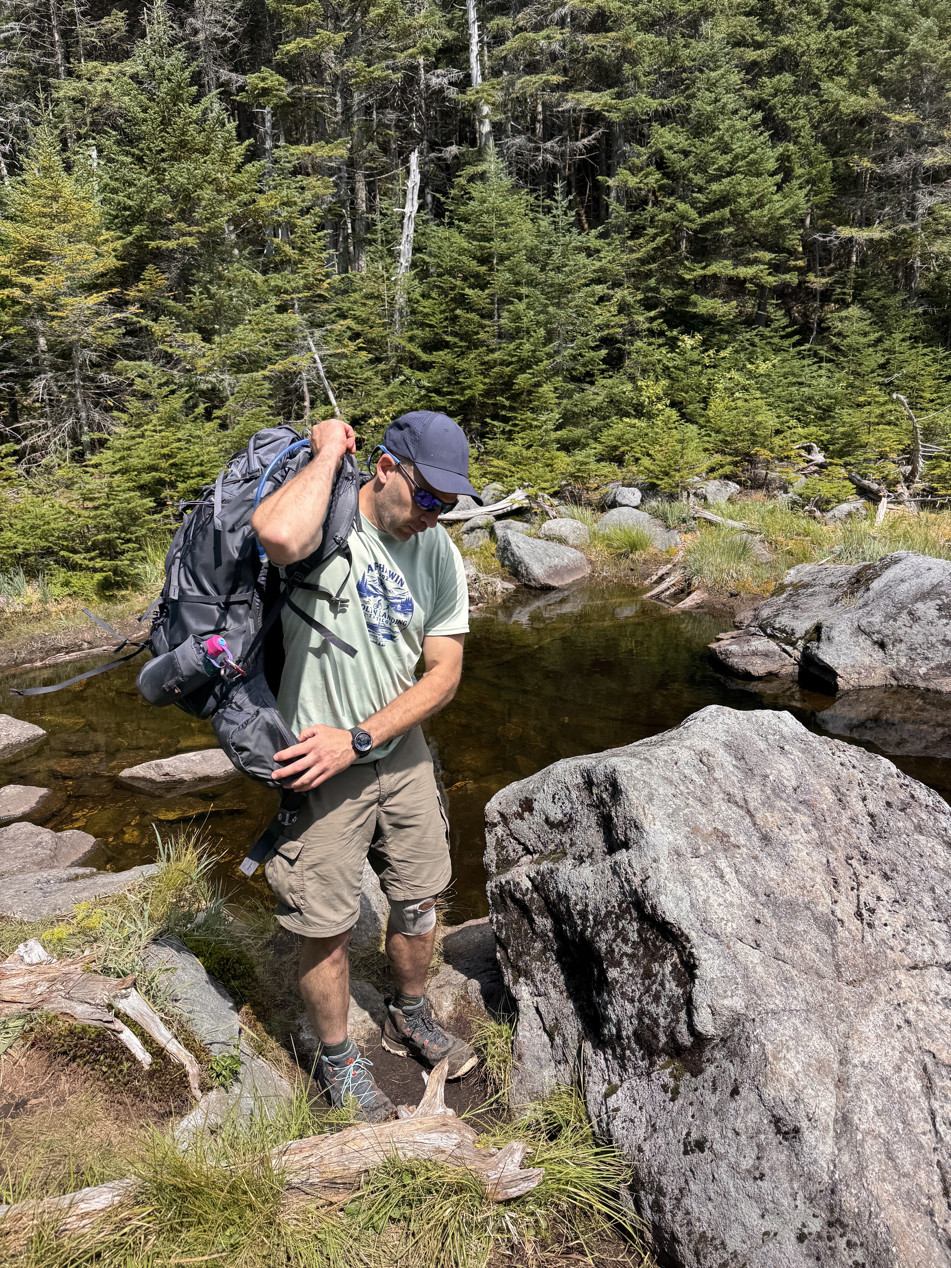
Gildo wanted so badly to take his shoes off an put his feet in the water. It did sound nice but the thought of putting my crusty stinky socks and shoes back on my feet was almost unbearable. At 12:35, we took our leave.
10 minutes later we reached the junction to Marcy and Skylight, and hung to the right. Just half a mile to go!
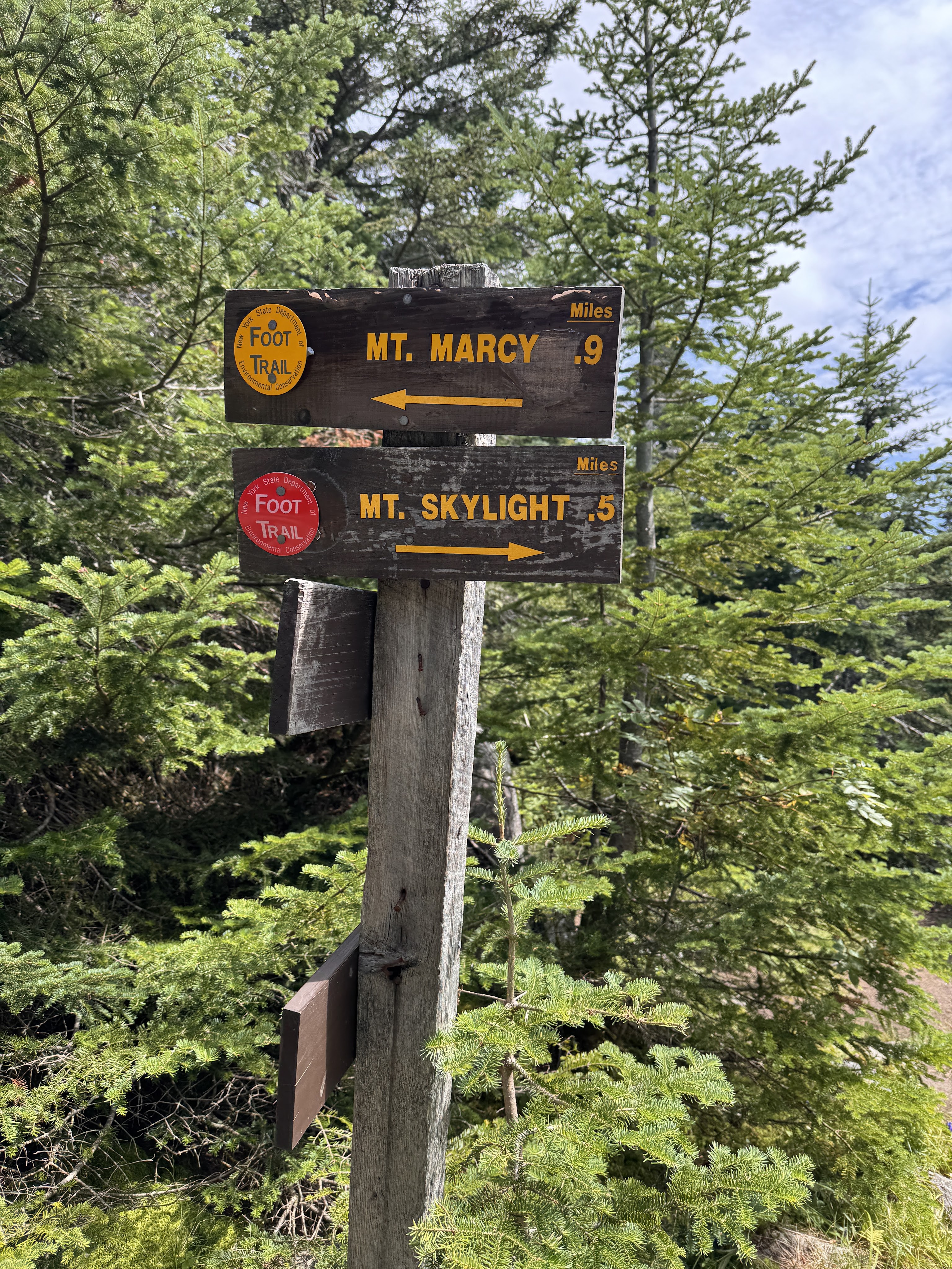
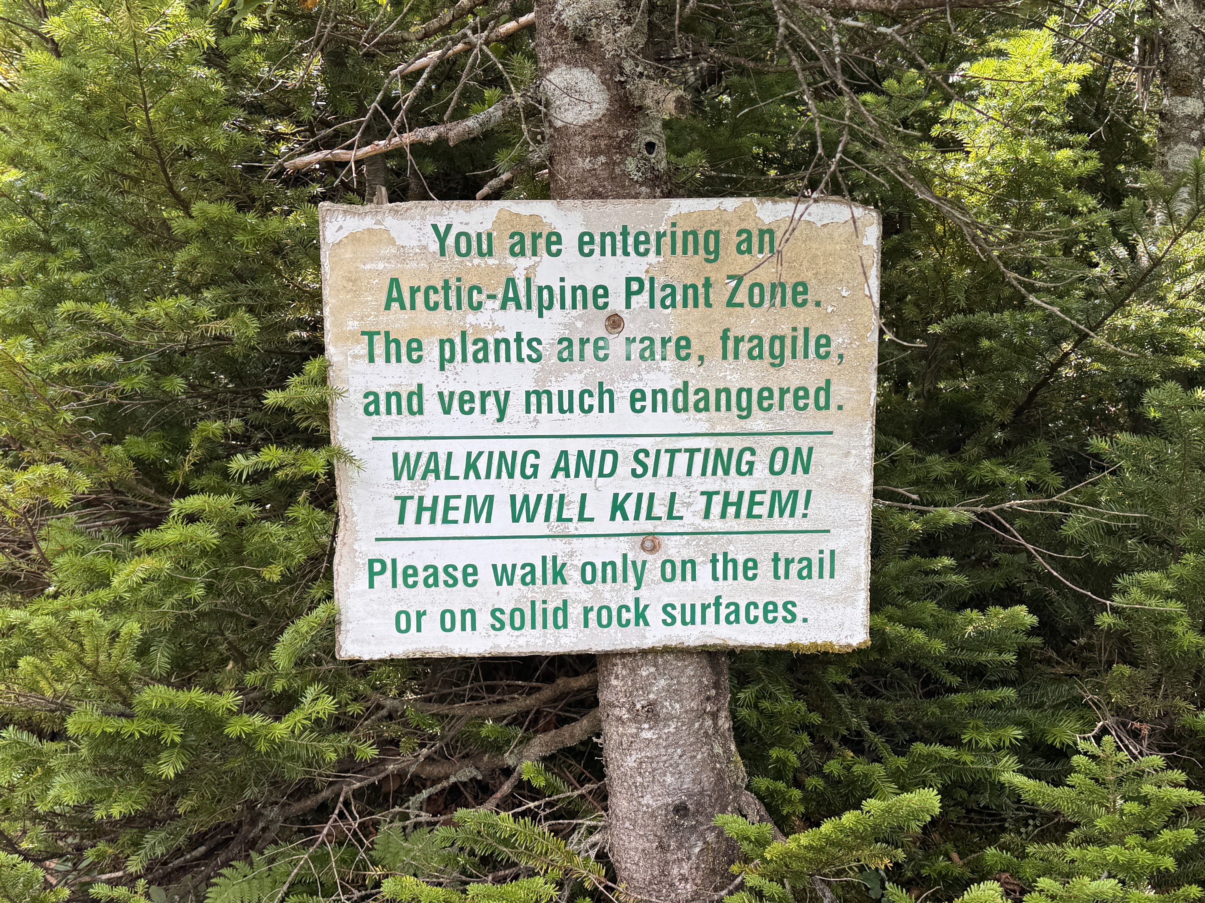
I was starting to have some trouble with my left hip on the way up by this point, and actively dug my thumb into one of my hip flexors to keep it in place while I walked. 15 minutes of climbing later, things were looking promising as we reached the Arctic-Alpine plant zone. Almost there!
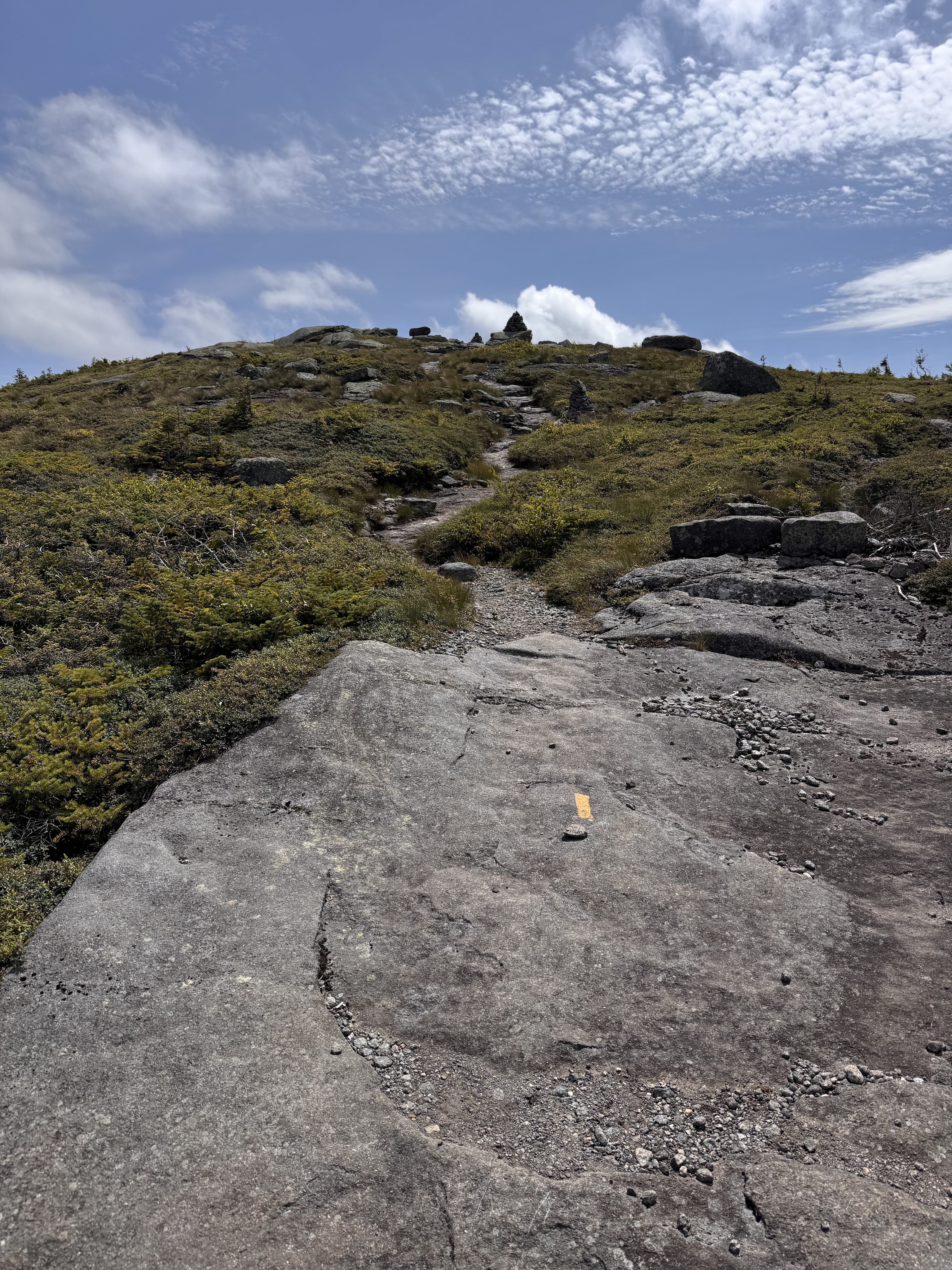
We emerged from the trees and wound our way up the bald cap of Skylight.
At 1:08pm, we reached the summit and turned around to see Marcy staring us down.
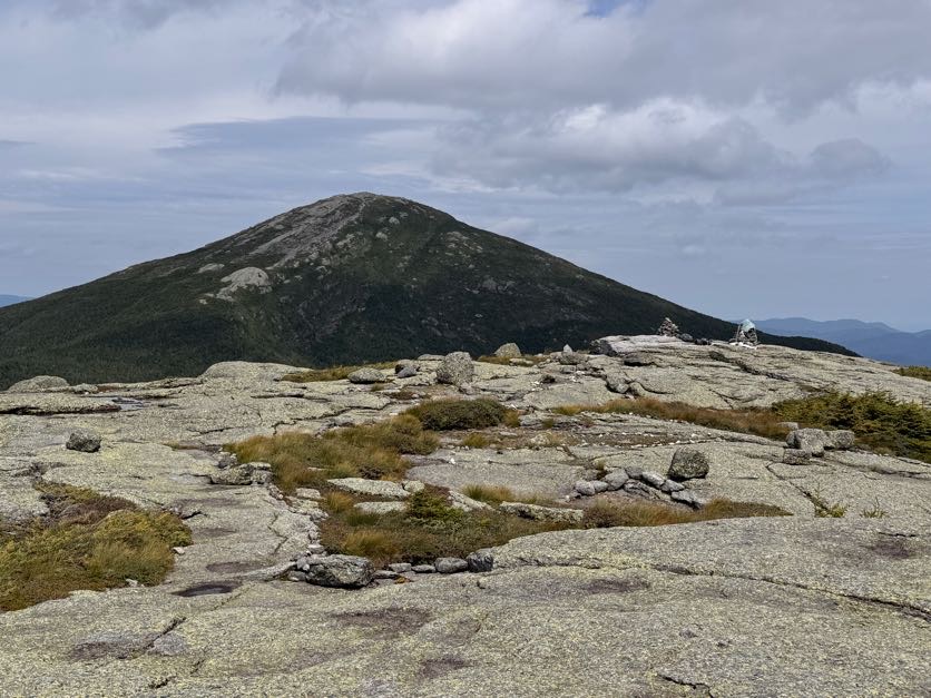
And watched a little plane perform some spins as it circled Marcy!
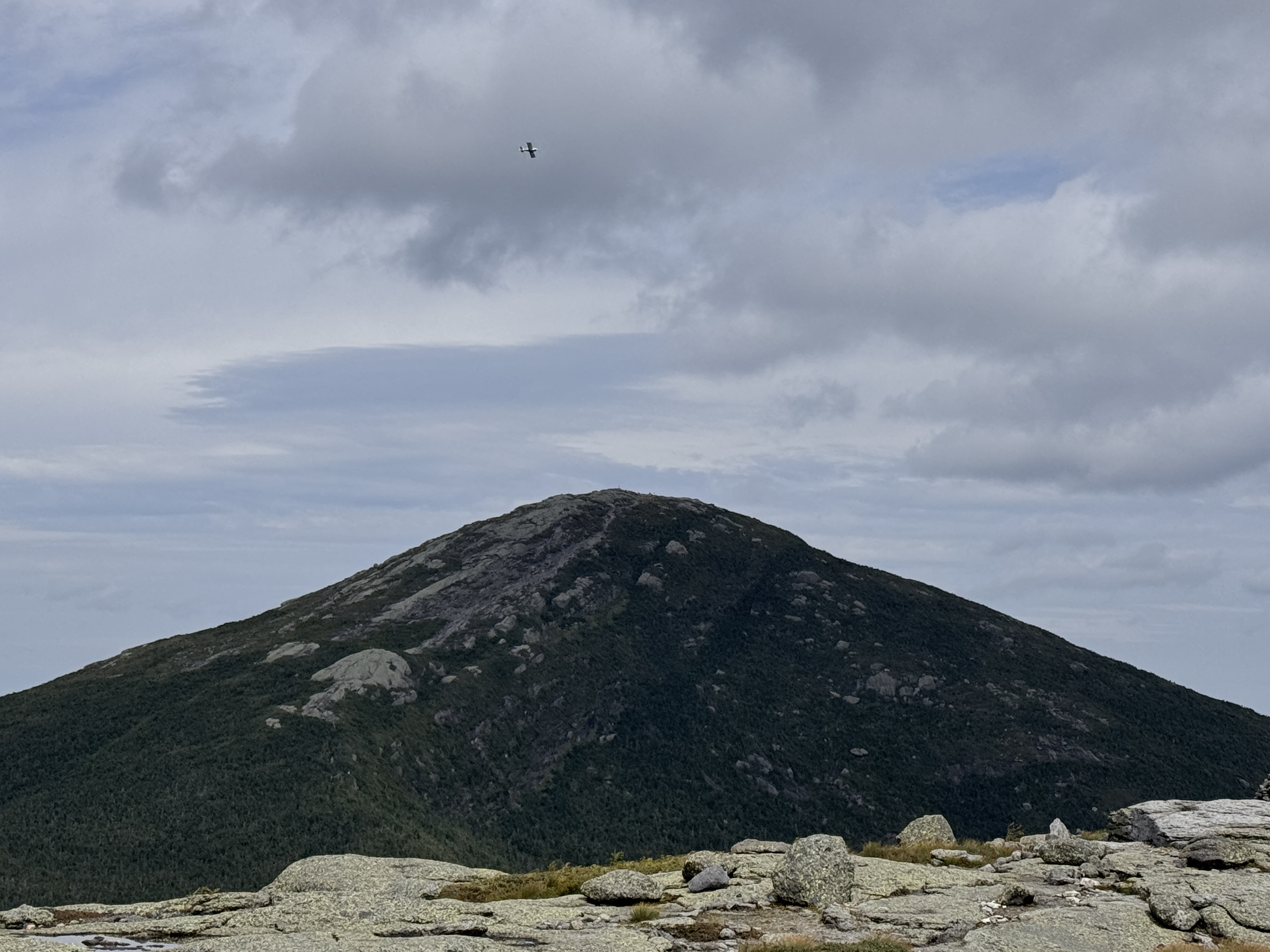
The views were breathtaking. People keep asking me what my favorite mountain has been to climb in the high peaks, and I really don’t know. It’s so hard to say. A lot of my experiences in the mountains are shadowed by pain – I have a genetic connective tissue disease called Ehlers Danlos Syndrome with causes issues with all of my joints, my circulation, digestive system, eyes, you name it. So I’m sure there were mountains I’ve climbed that were absolutely beautiful, but if I was in a state of just trying to survive the day, I may not have appreciated it. This day the only thing bothering me so far was my left hip – I had to keep pressure on one of the tendons as I climbed to keep it from popping out of place – no big deal honestly – so I was fully in awe of not just the sights, but how I felt, appreciating the moment as much as possible.
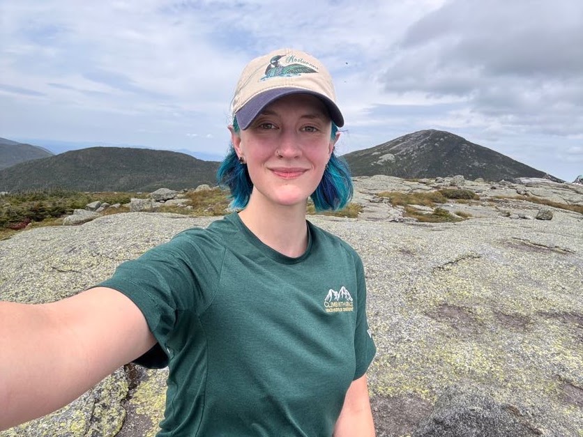
In these last 10 years, so much of my life has changed. At one point, when my pain and issues associated with my undiagnosed illness were at their peak, I had to come to terms with possibly never being able to climb these mountains again. That’s like taking a part of my soul from me. I was inconsolable for a while, but here I am.
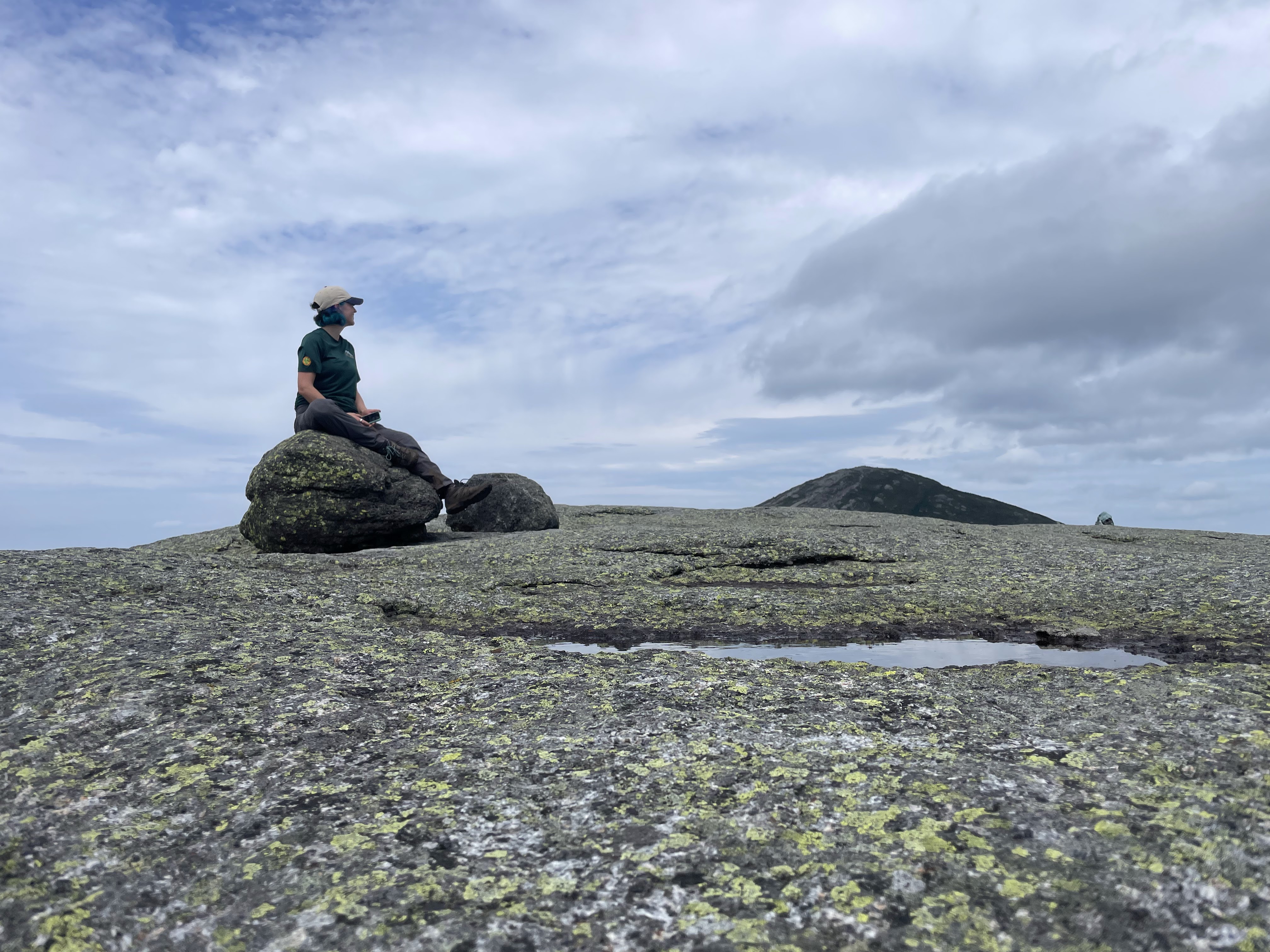
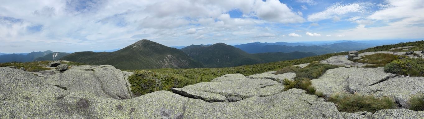
I wanted to stay up there forever. I did not want to come back down. But I knew my friends were already over on Marcy waiting for me – I could see them standing on the summit, waving!
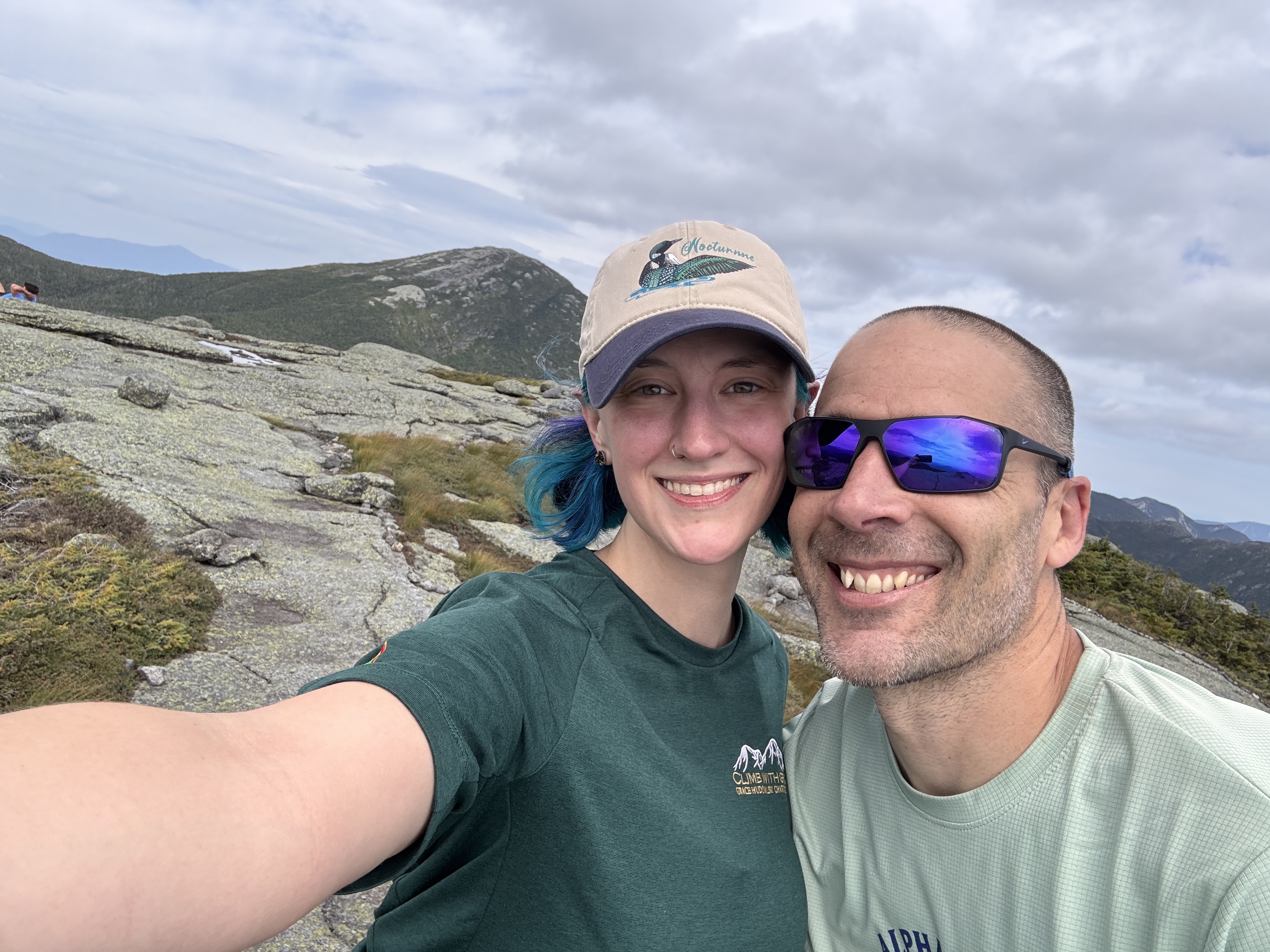
At 1:15pm we begrudgingly made our way off the summit of Skylight.
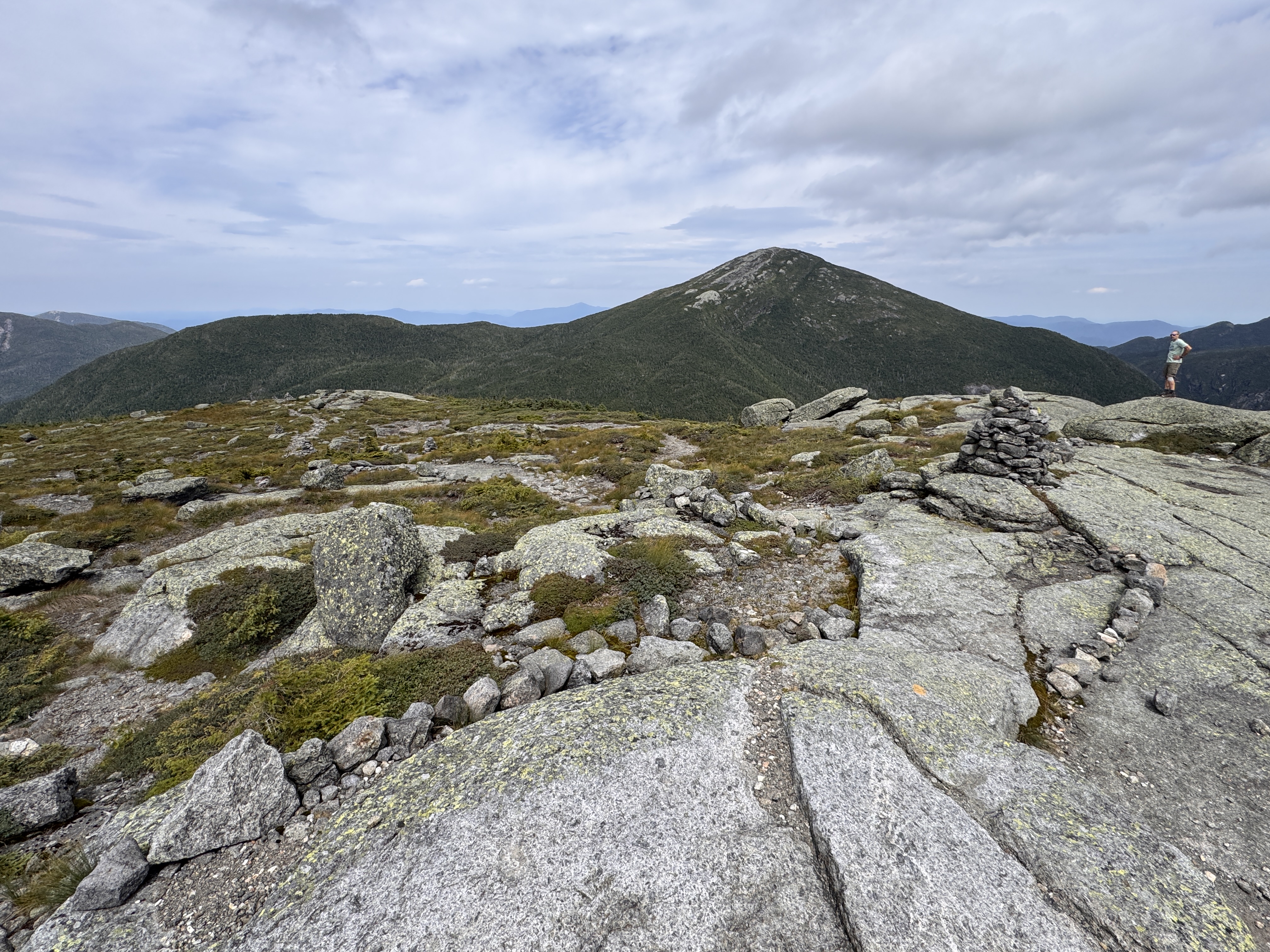
Seeing this view coming down Skylight was downright humbling. There may have been some vocal lamenting during the descent.
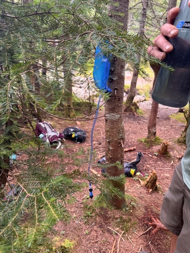
At 1:37pm we reached the spot where we and apparently everyone else had stashed our bags to go up Skylight. Gildo had set up the water bladder to filter our water while we climbed, so it was all ready by the time we got back. We hydrated, then threw our packs back on our shoulders and set off for the final push up #46.
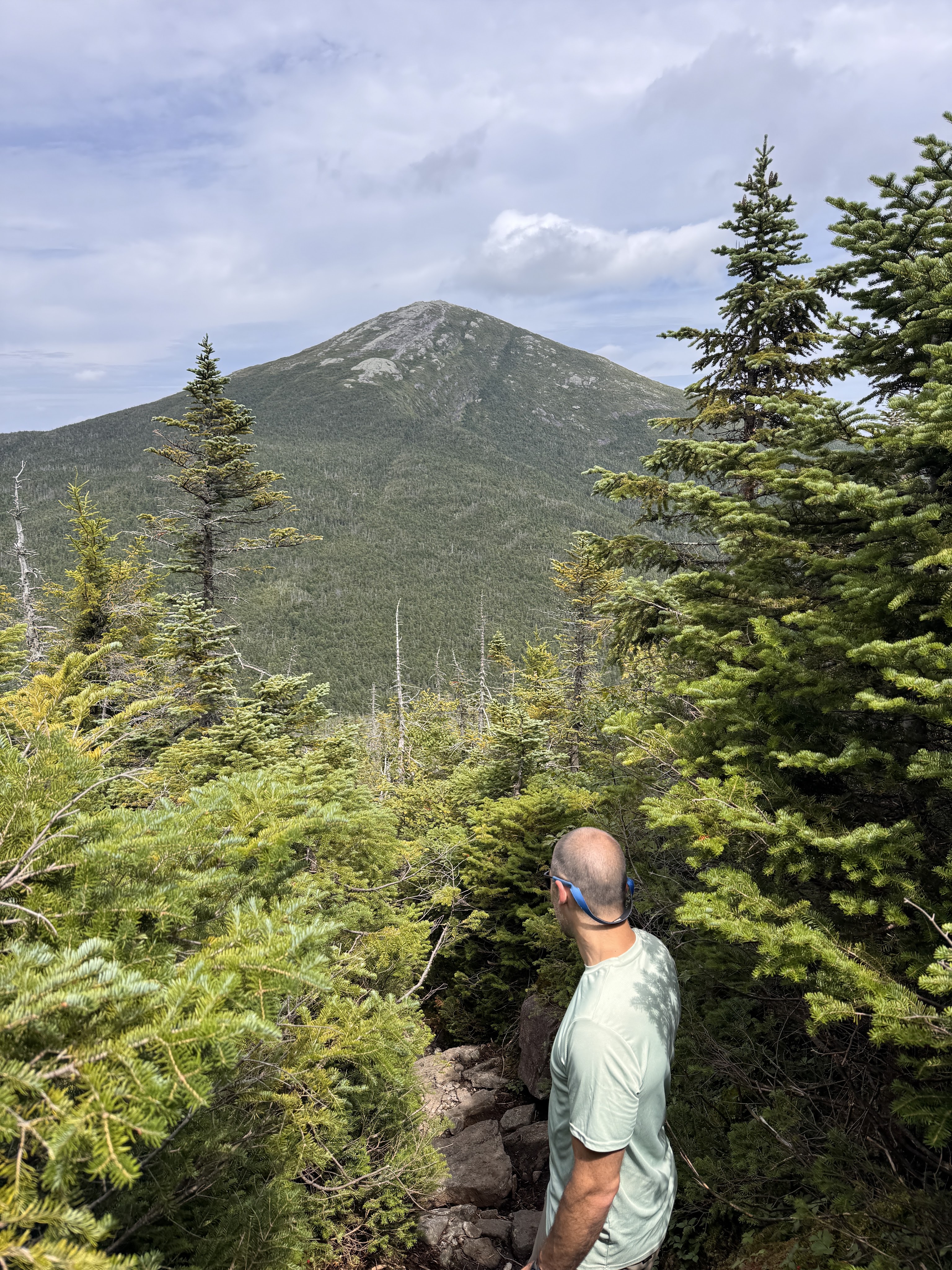
Thar she blows!
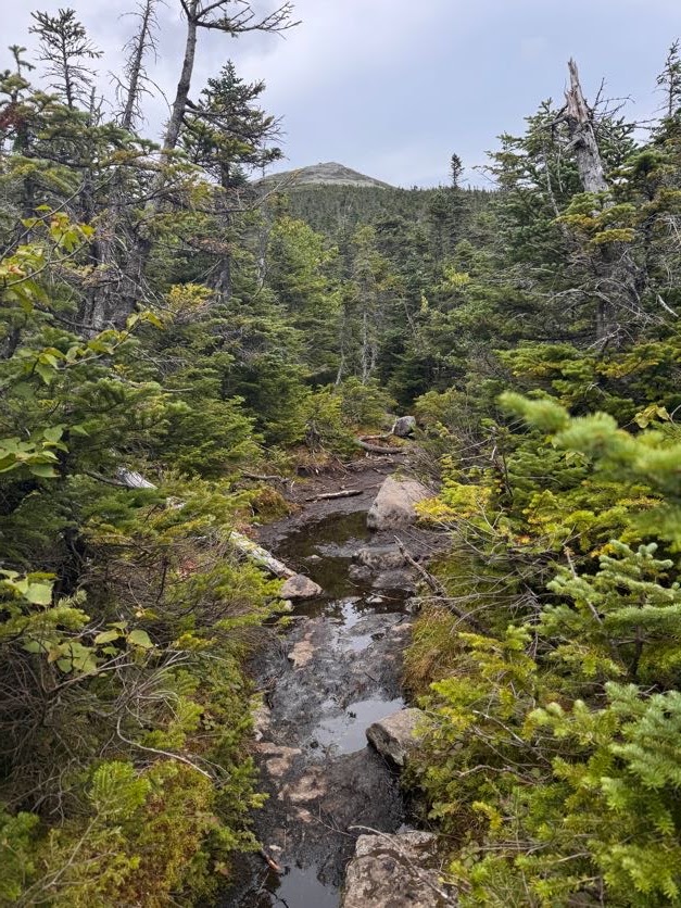
20 minutes later, at 2:07, we were standing at the rocky base looking up the steepest ascent to where my friends and family were waiting.
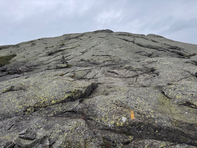
It. Was. BRUTAL. I remember looking at Gildo, hands on my hips in exhaustion, and just laughing and saying ‘Honey I’m so TIRED!’ as if it was an unreasonable thing to be at that time. We’d only been hiking for 6 hours and summited 2 other peaks, why would I be tired? He had the idea to just take 46 steps at a time, then rest, to break up the steeeeep ascent and be all symbolic at the same time. I know it was meant to be symbolic but actually that was the PERFECT number – each time I reached 46, I was at the point where I couldn’t take a single step more.
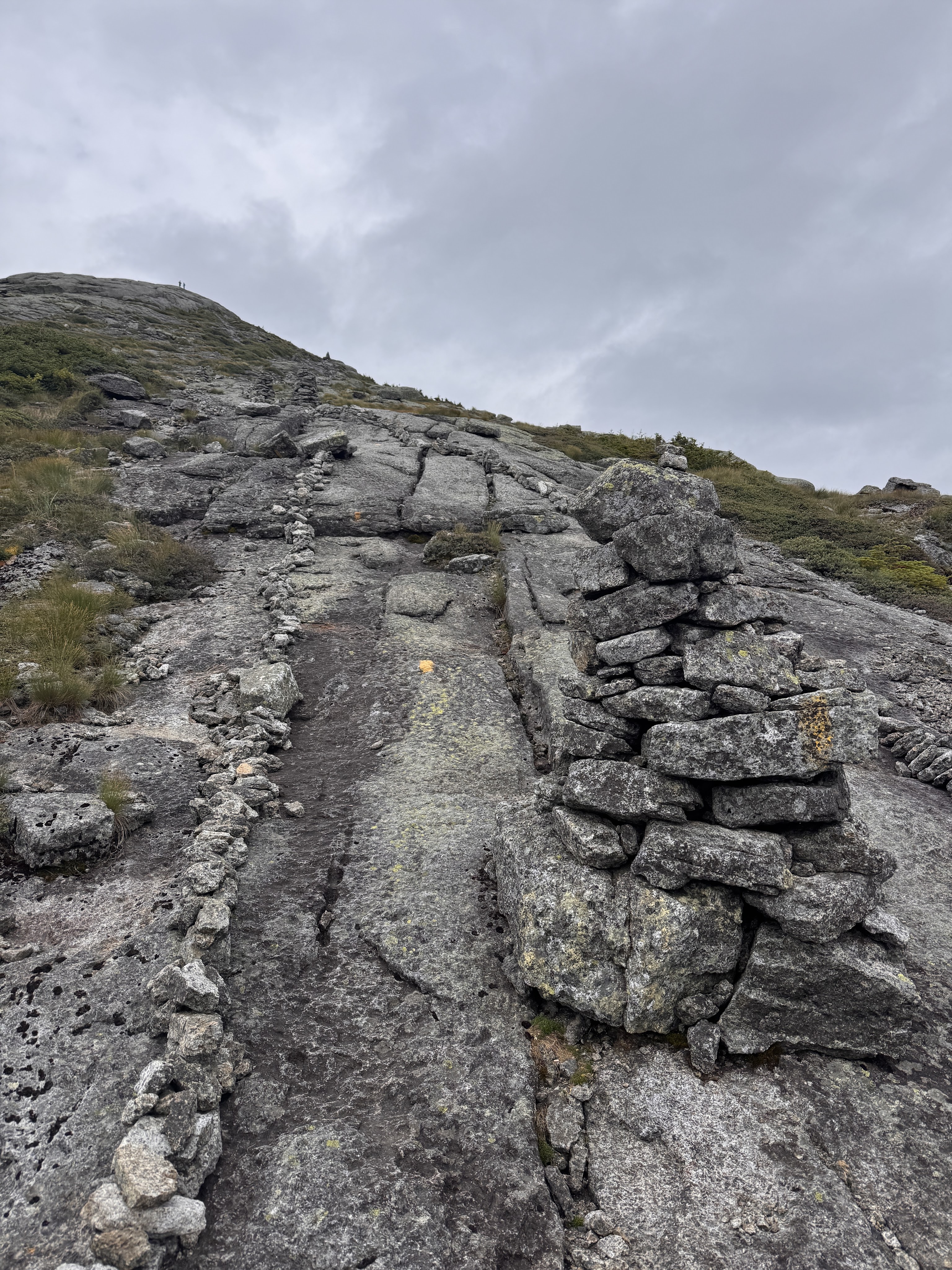
My friend Steve captured some of it on video – at least I don’t look to have been going as slow as I felt!
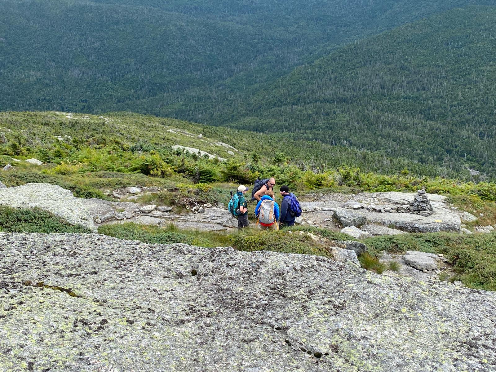
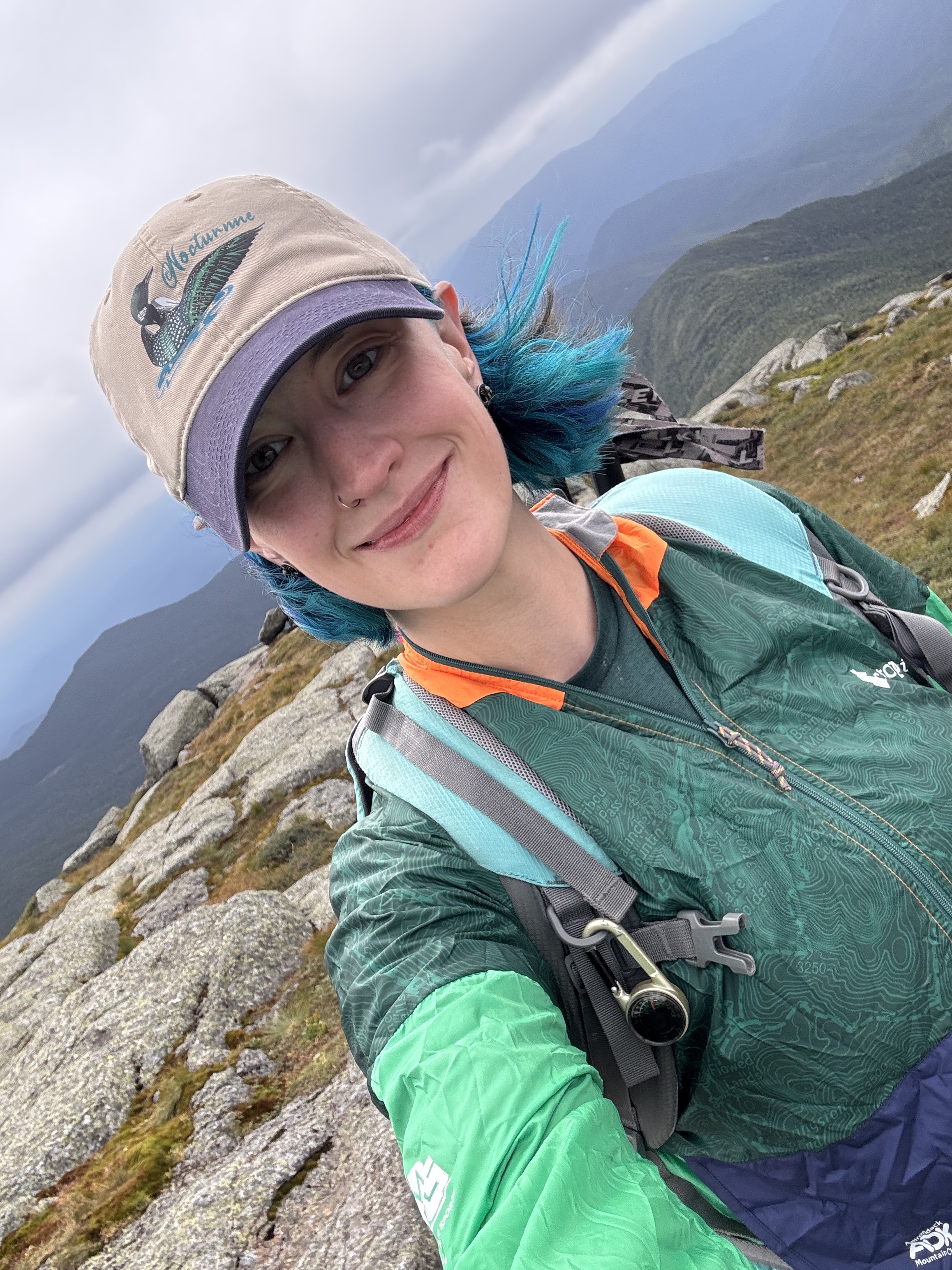
At 2:26pm on August 16, 2026, I stood on top of my 46th and final high peak in the Adirondacks – Marcy – surrounded by people I love.
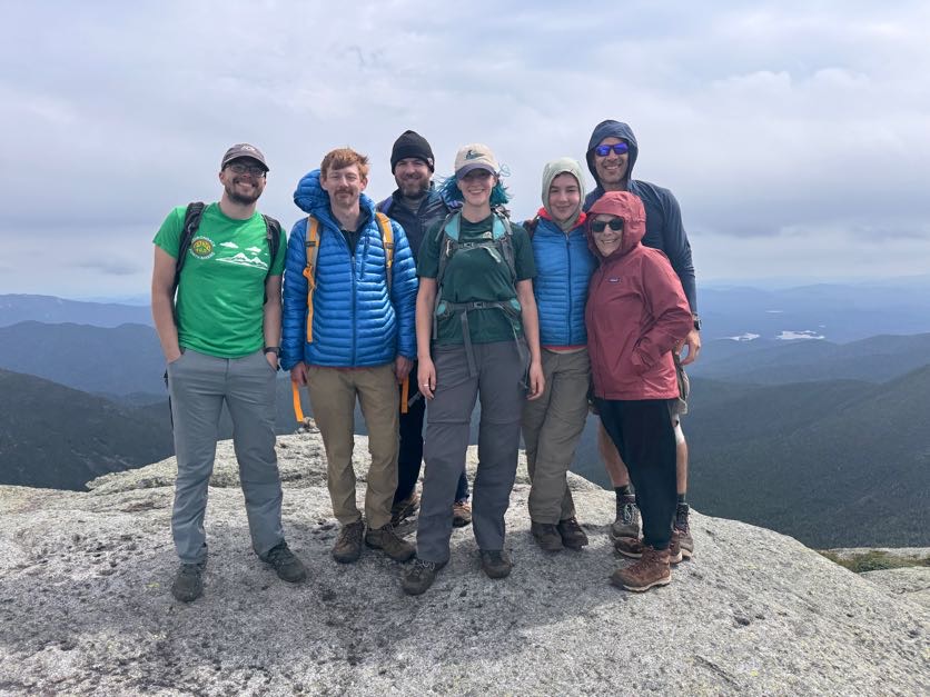
I’d really thought I might be a crying mess when I got there but I was so exhausted and so happy to see everyone that I don’t think I really processed how monumental this was and what I’d just accomplished!
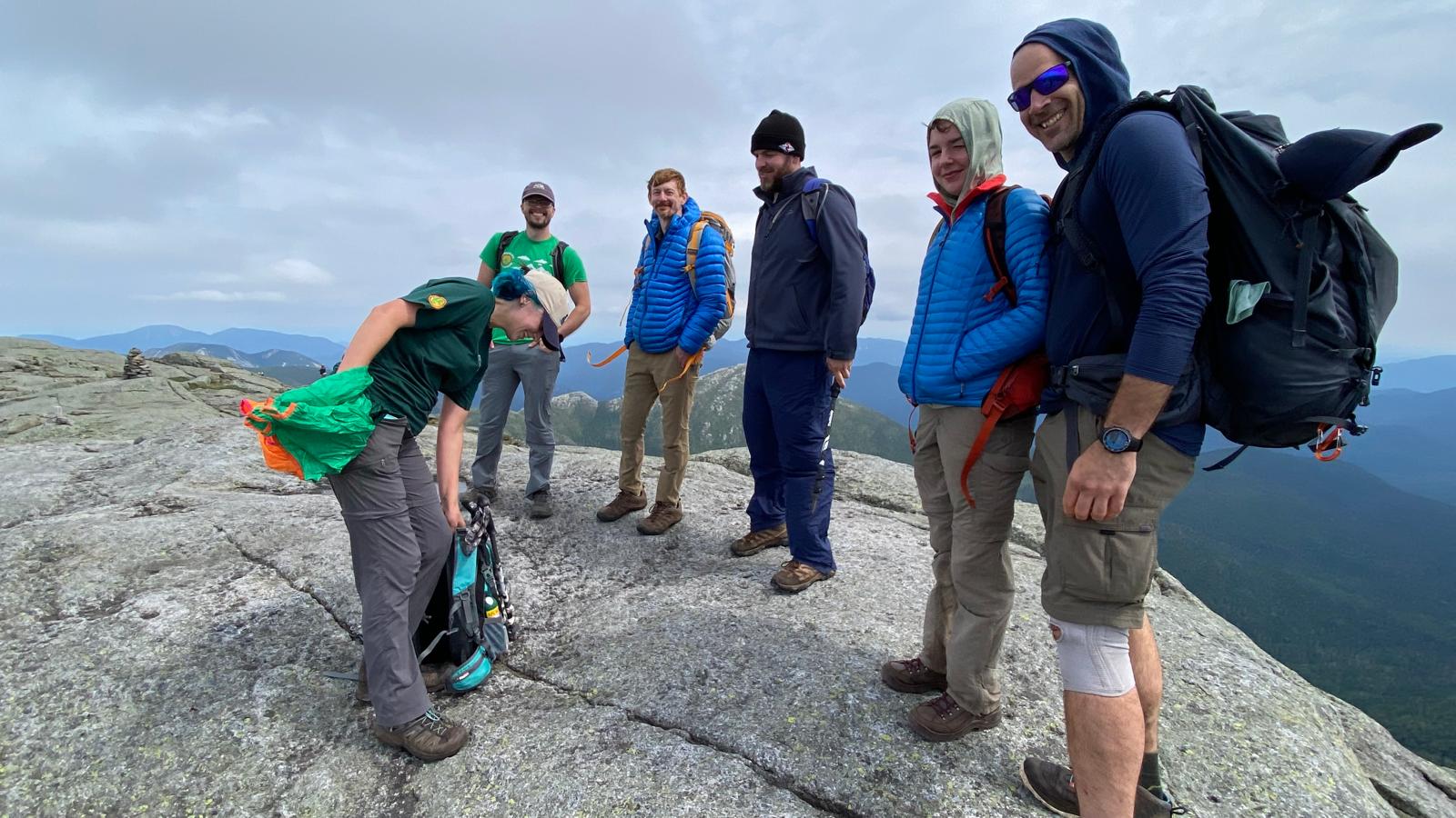
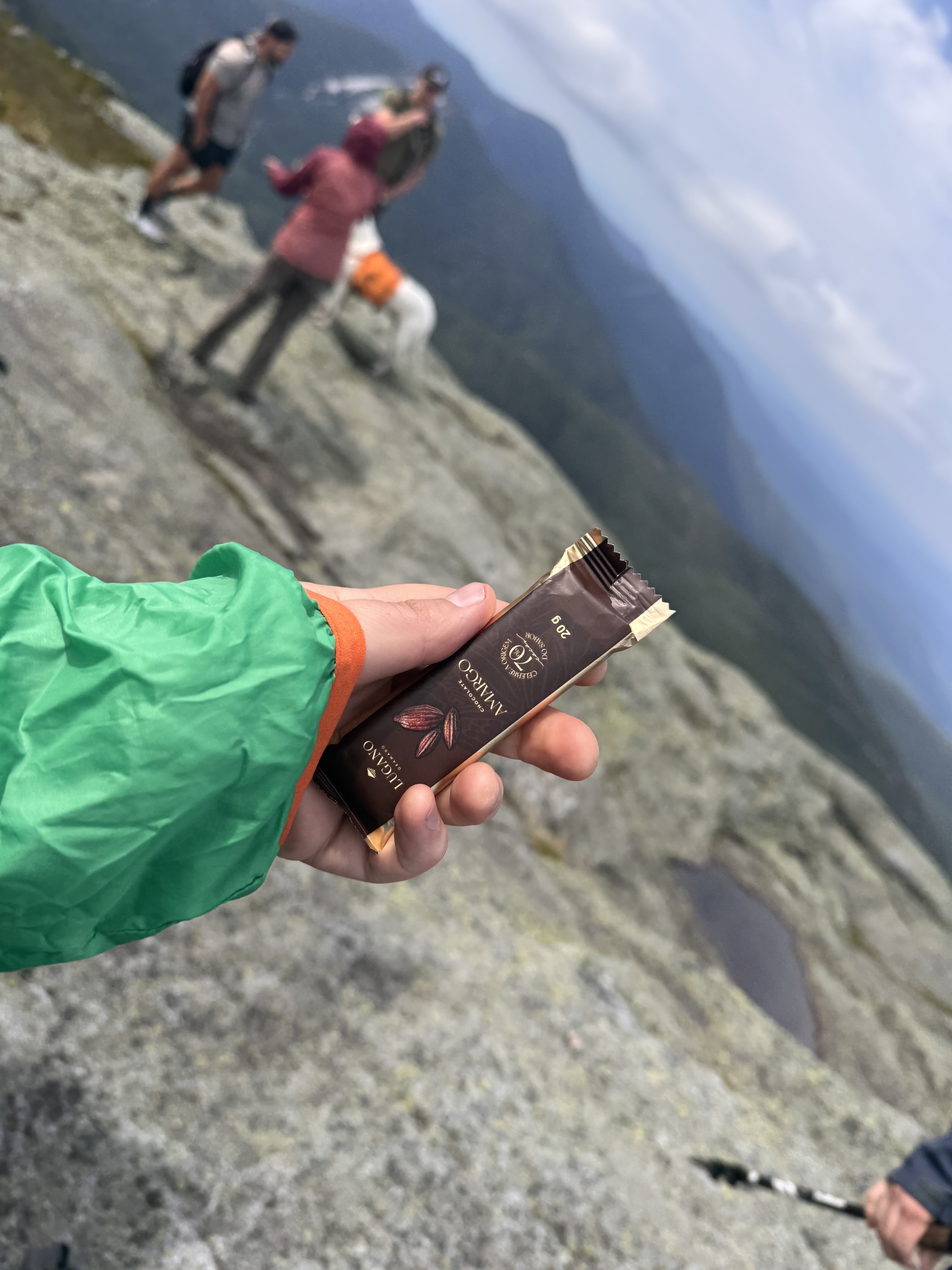
Victory chocolate was in order, of course.
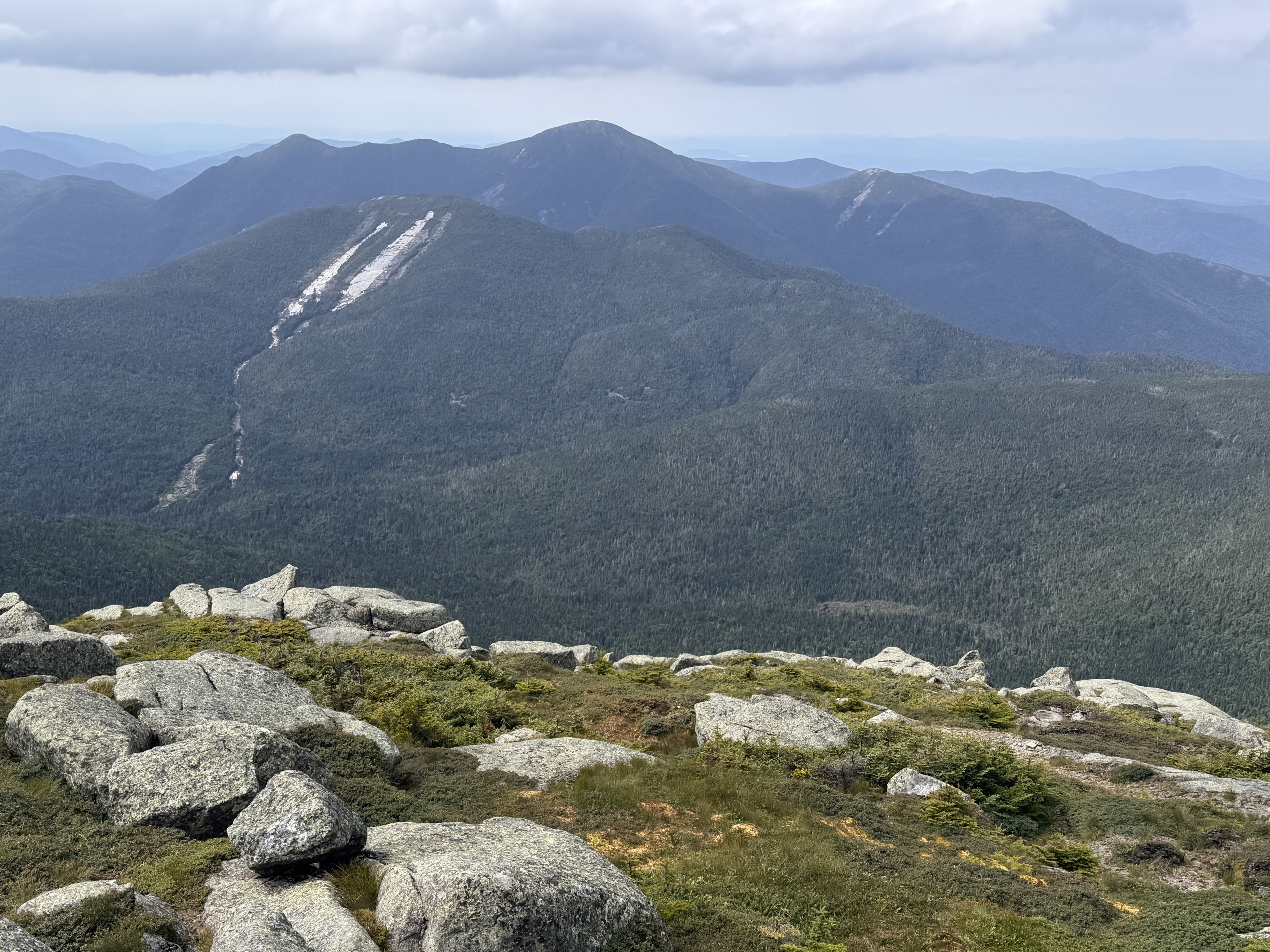
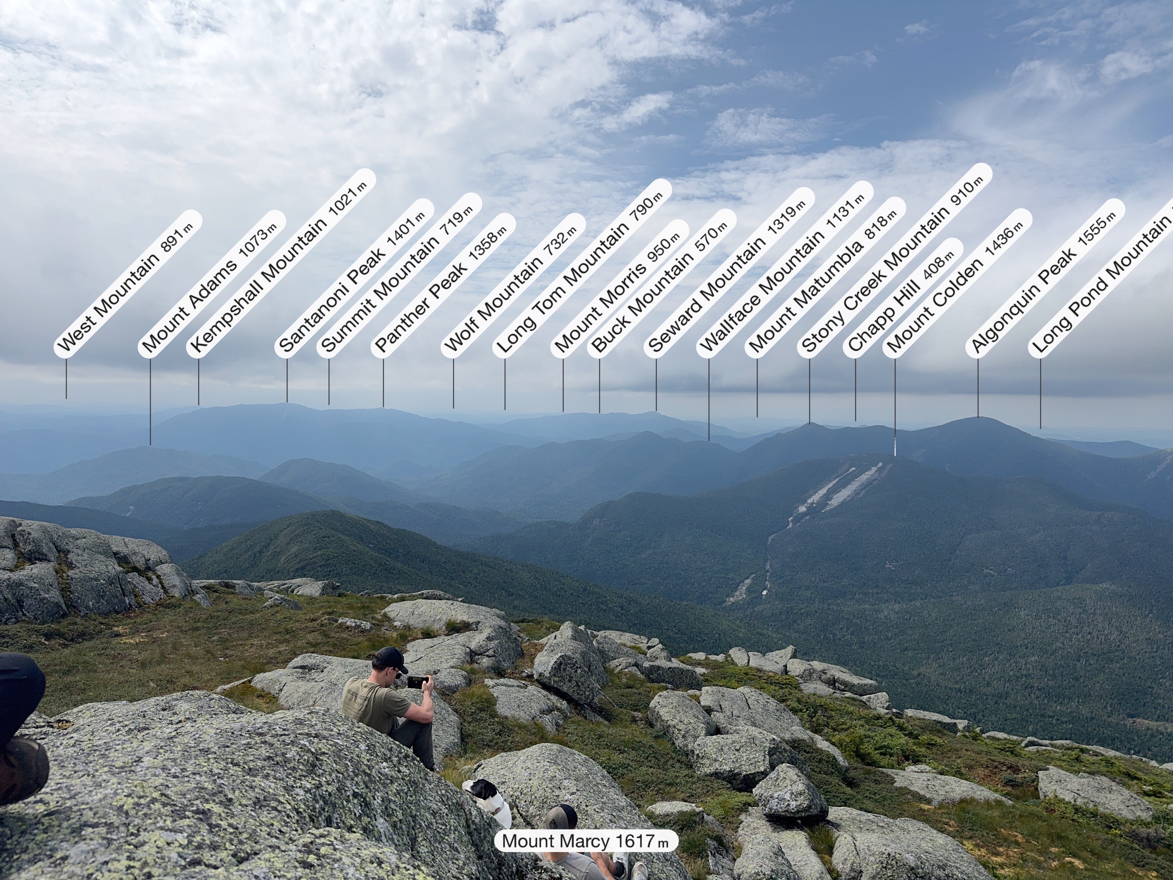
Looking towards Mt Colden and Algonquin, Iroquois, and Wright, below.
When I started this challenge 10 years ago, I was determined to do it alone. All of it. Along the way, my life became so much more full than I could have ever imagined. So having all of these friends and family celebrate at the summit with me is kind of symbolic of how my life has changed since those first few hikes. I wrote a song inspired by all of this called 46 Ways To Get Home. You can listen to it if you want while you finish reading! (And if you like it, here’s where to stream it: https://ffm.to/p9x0l9m)
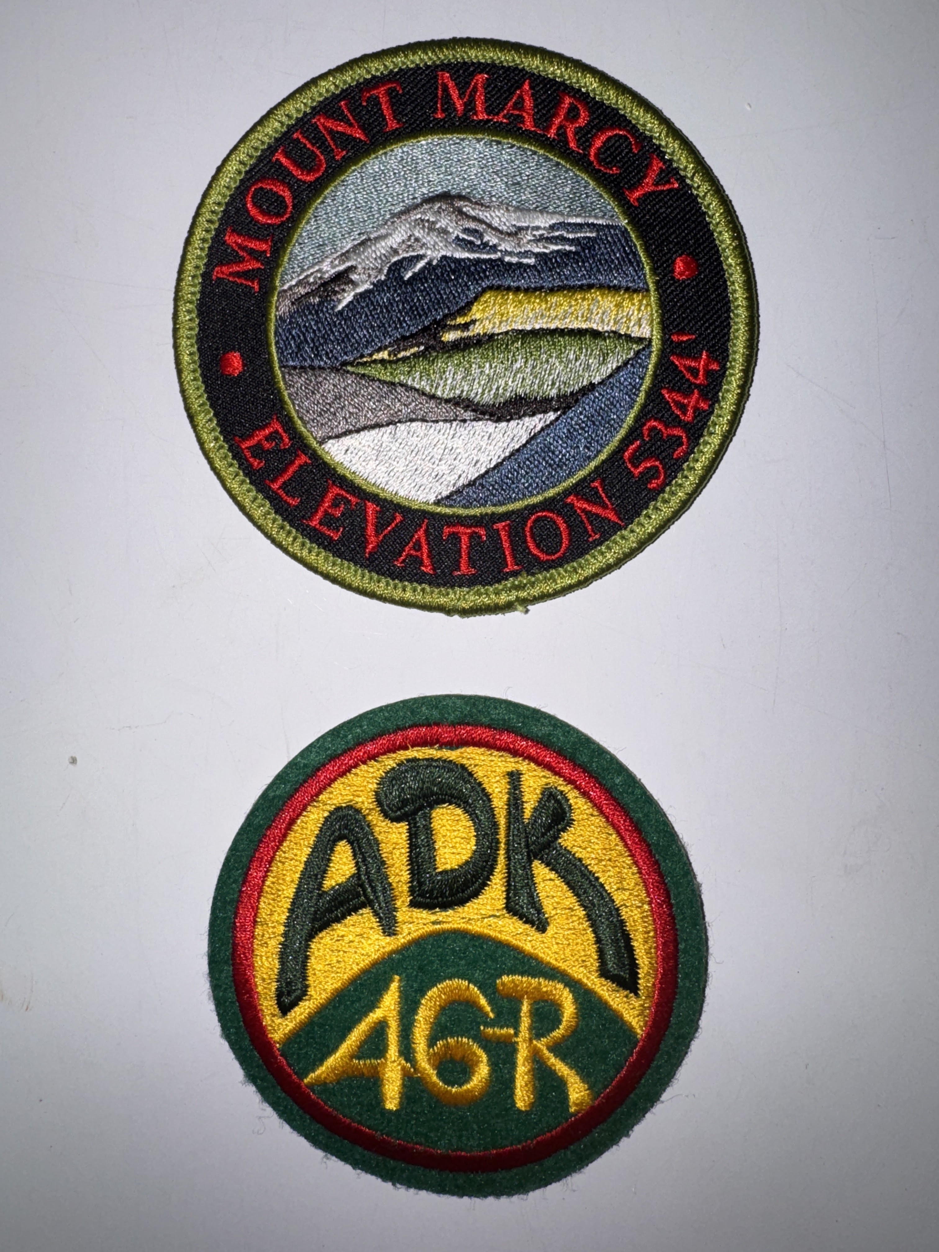
Several of my group are already 46rs, one of whom gifted me my very first ADK 46r patch AND a Mt Marcy patch!
At 3pm, clouds were rolling in and we thought it best to start our descent. I wanted to stay up there forever, but I don’t think the summit steward would have appreciated that, so off we went, stopping first at a nice overlook of Panther Gorge.
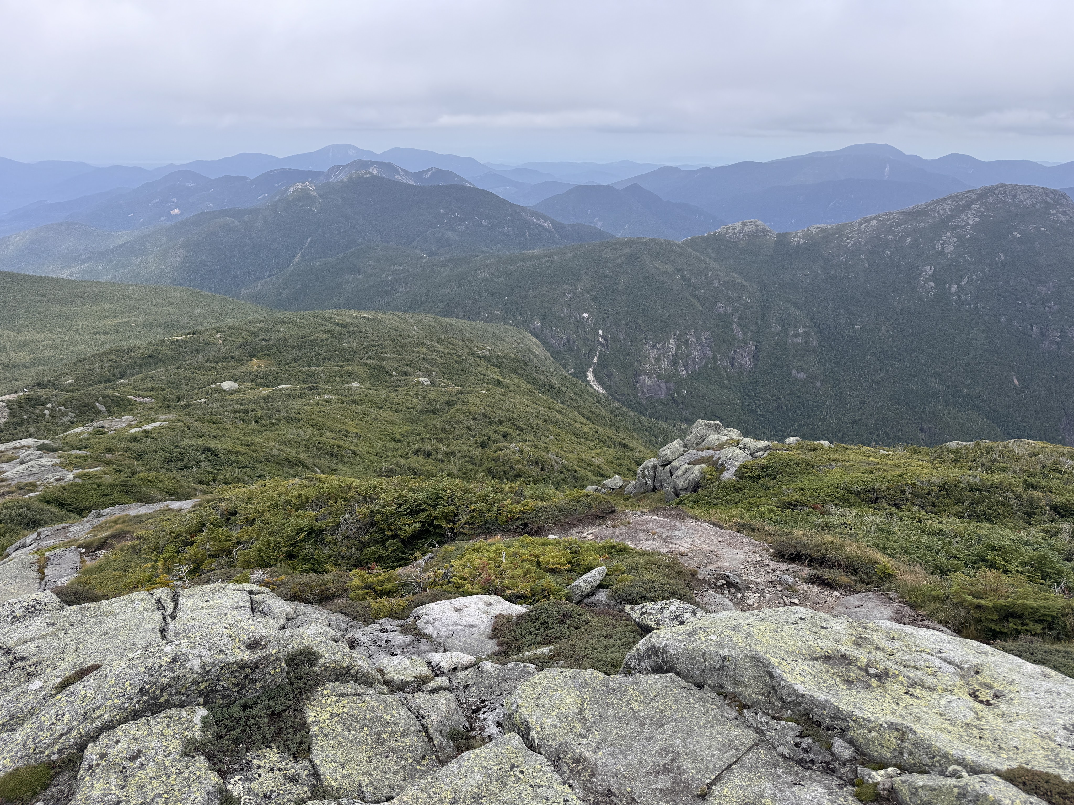
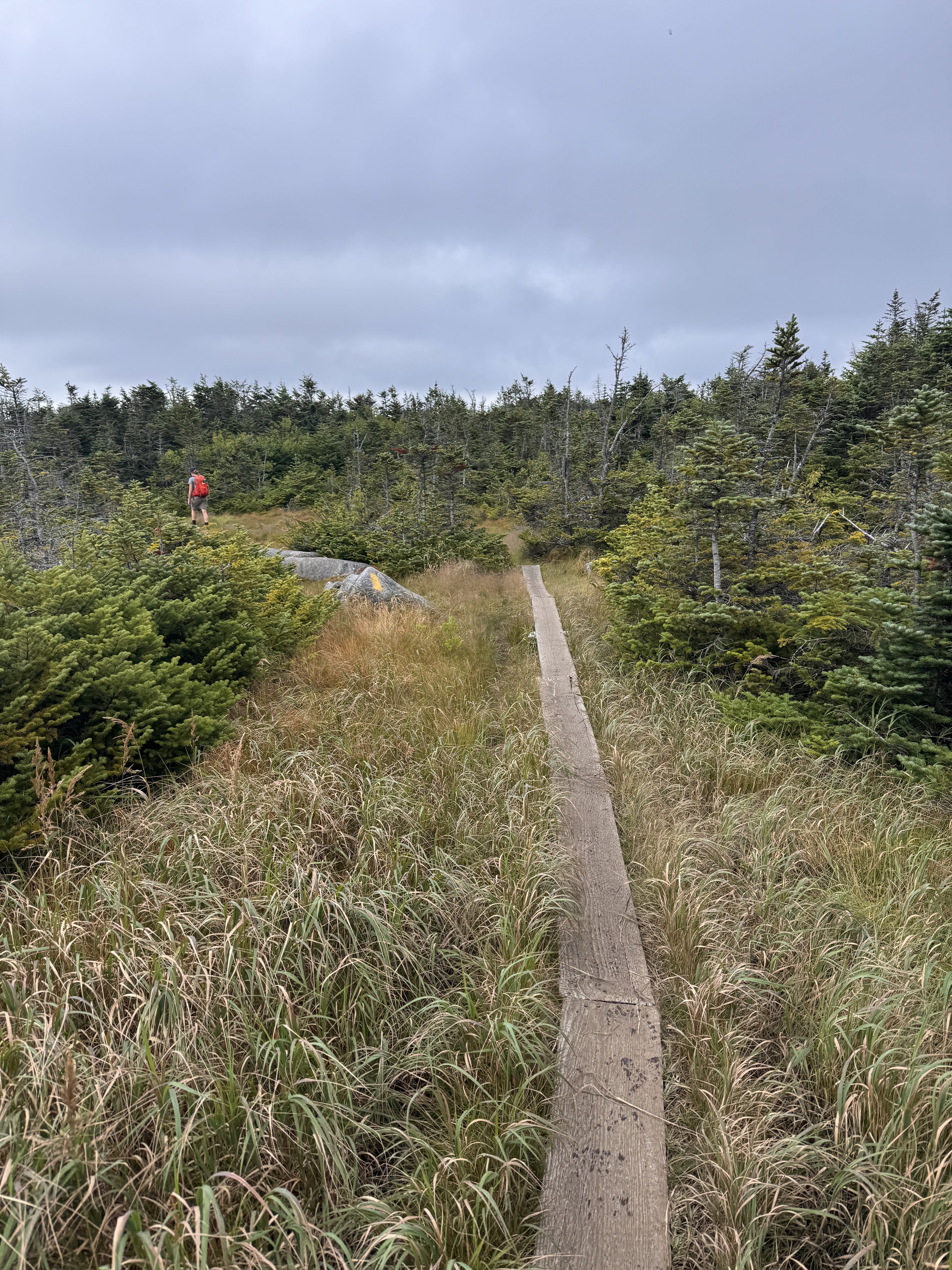
We immediately lost the trail, distracted as we were by our conversations with one another, and had to climb back up a bit to find the blazes once again.
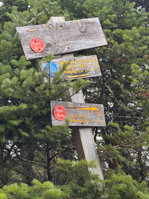
35 minutes later we reached this very confused sign with one arrow pointing to Slant Rock – 1.7 miles, and another to Slant Rock – 1.5 miles. We hung left to go back towards Marcy Dam.
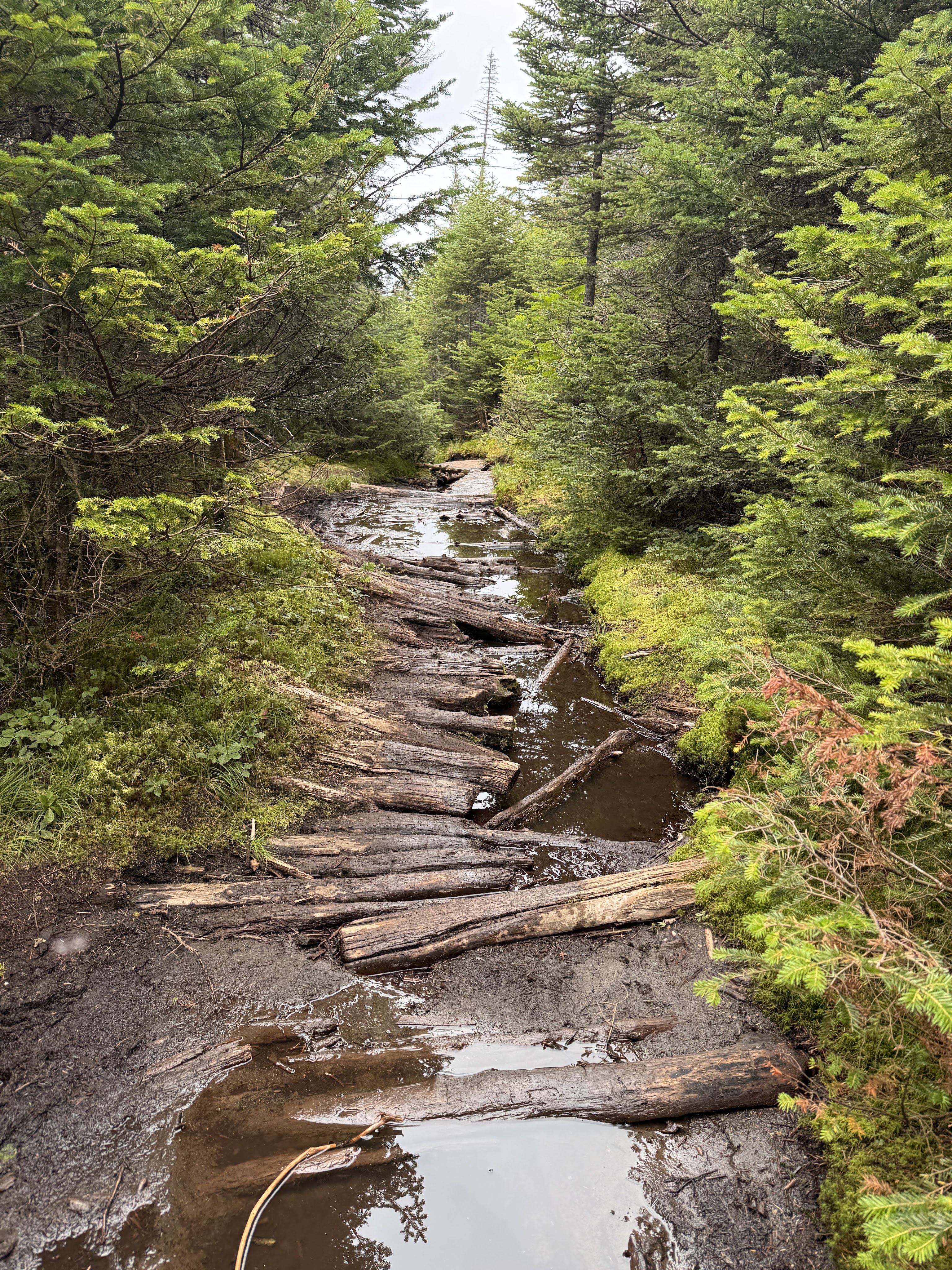
At about 4pm we encountered really the only muddy section on this side of Marcy. A walk in the park compared to the floating logs on the other side!
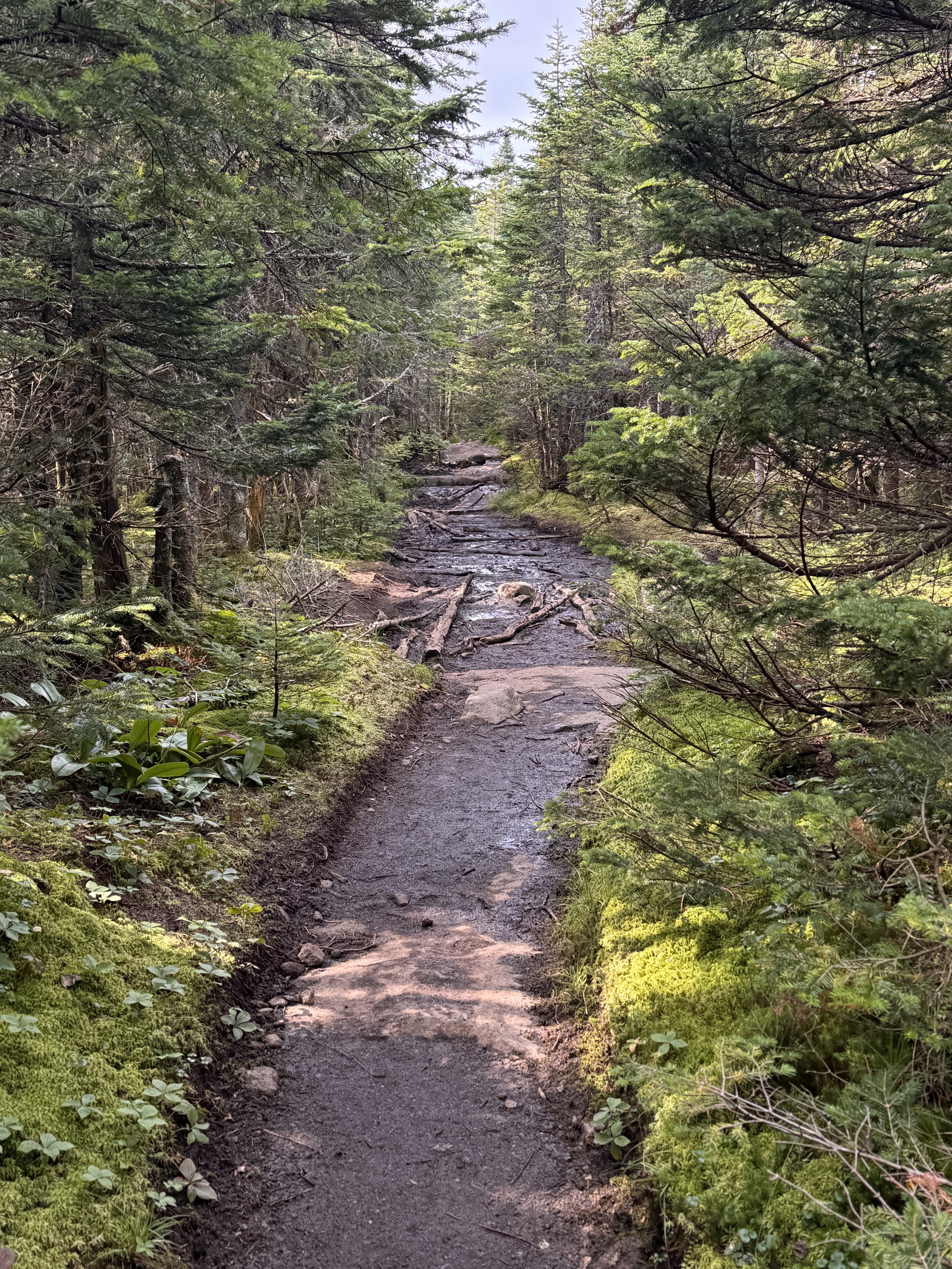
Once we were past the initial steep descent from the summit, the rest of the way down was a dream. Easy peasy. A welcome relief from the climb up the other side.
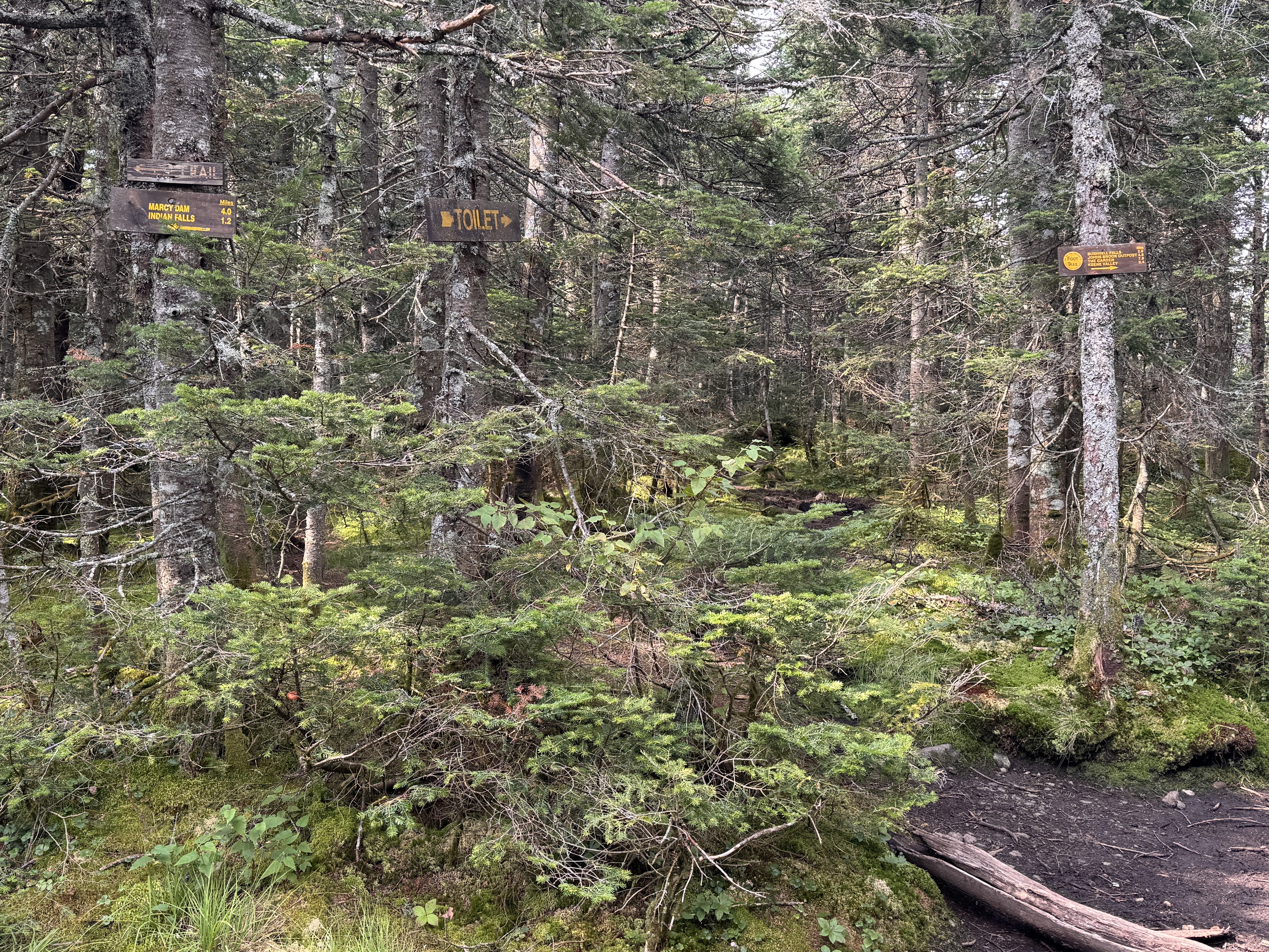
A toilet is spotted! Right around here, I also spotted two familiar faces coming up the trail – two more friends were making their way up to meet me!!
Having never hiked with a group before, I wasn’t sure how it would work coming back down all together. Not everyone knew each other, and we ended up naturally splitting into smaller groups as we went, chatting and sharing stories and catching up. It made me so happy to hear my friends becoming friends with each other on the way down.
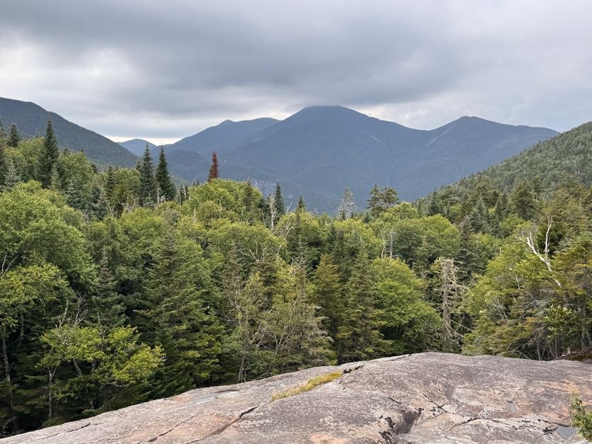
At 5:20, we took a break at Indian Falls to sit, rest our legs, and have some snacks. We lingered here for 15 minutes before pulling our packs back on and continuing on our way.
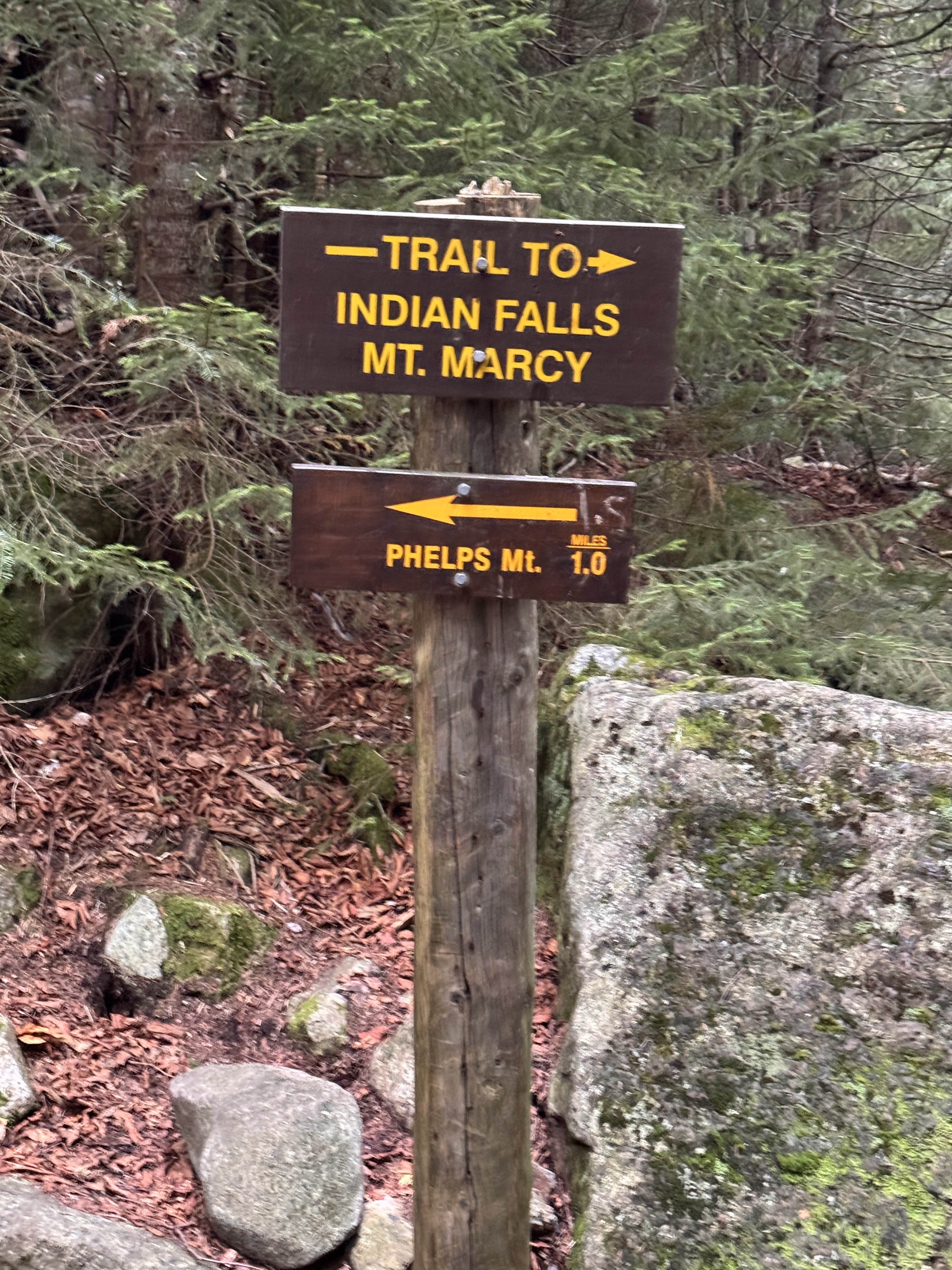
At 6:30 we reached the junction with Phelps mountain. Gavin and I recollected the time we had both independently set out to climb the same two mountains, crossing paths as I was descending Phelps and he was ascending. What are the odds?
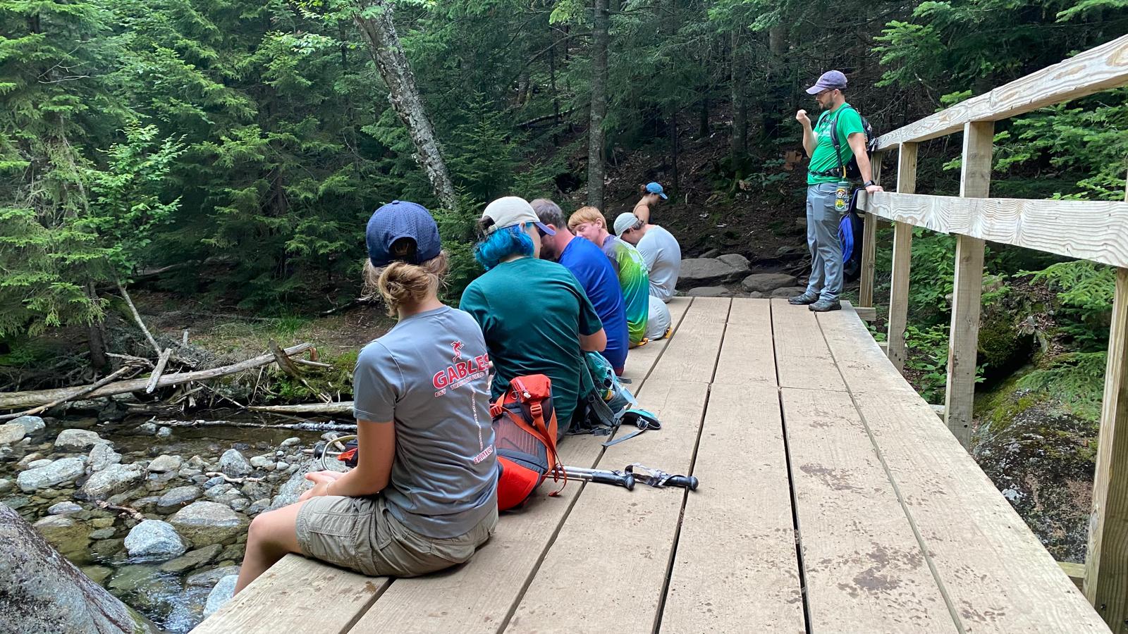
We stopped at a bridge here for a few minutes. By now the legs were jelly and prone to making mistakes, so I took advantage of every little break I could.
20 minutes later we were almost back to Marcy Dam.
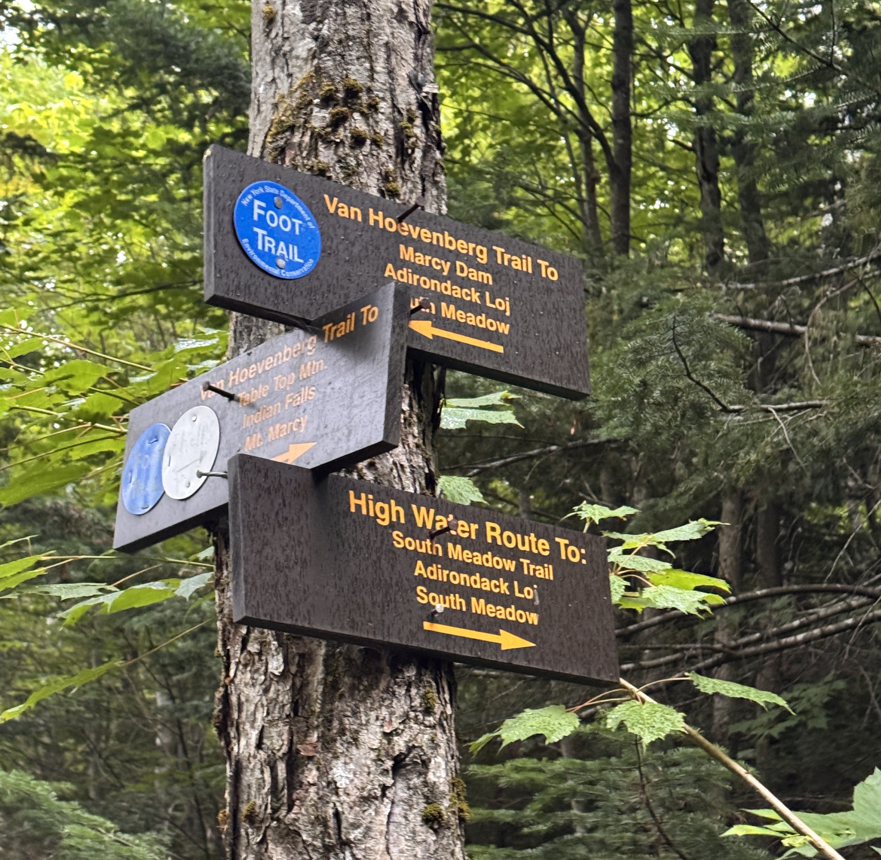
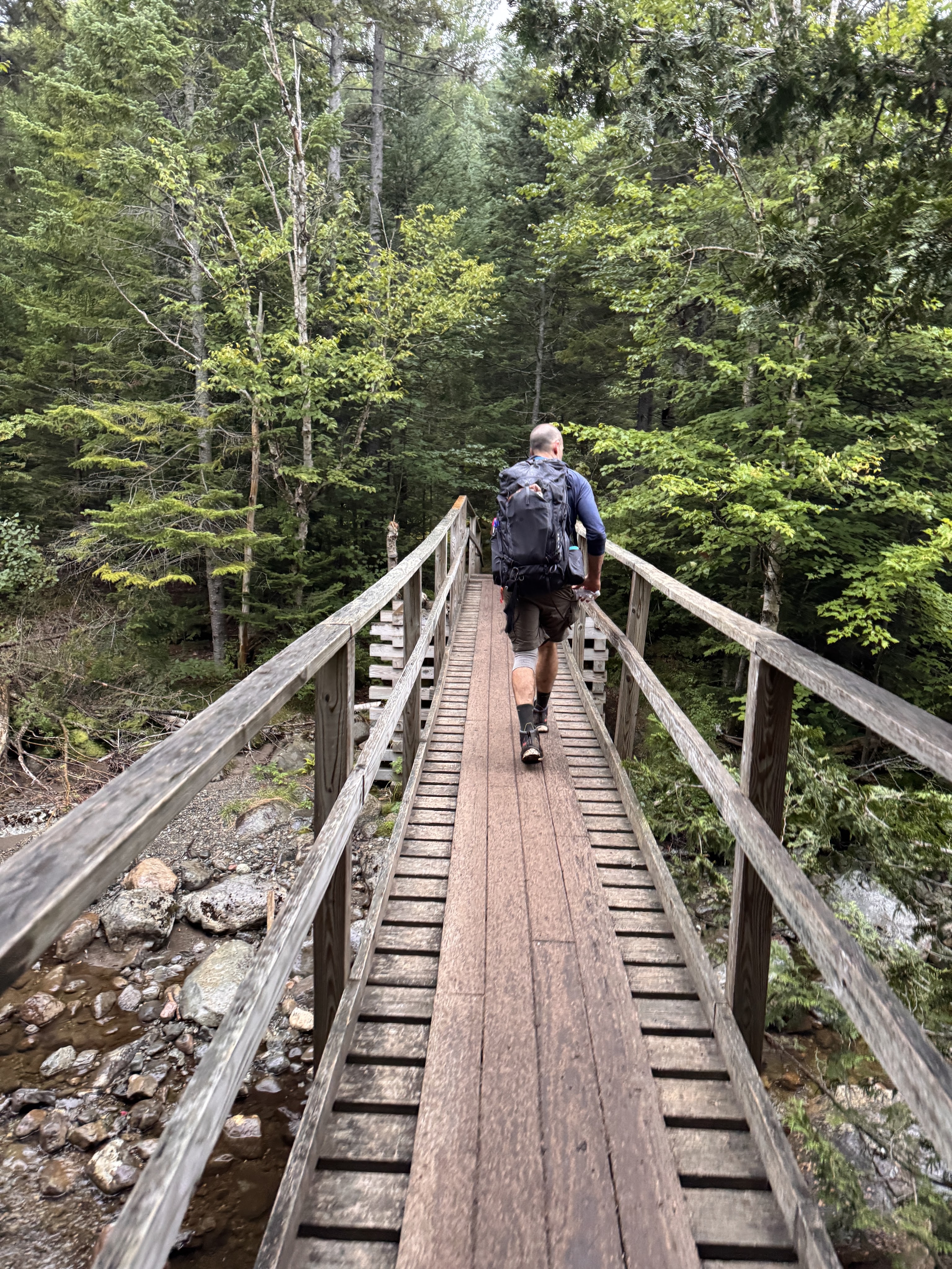
And crossed the bridge back across 10 minutes later. We relished in the light rain that began falling, a welcome rinse for our sweat-covered selves.
By now I think we were all struggling. I was in front of the pack for the most part, booking it, super ready to be done. I wasn’t feeling chatty by now, just so exhausted and hurting. At some point I noticed it had gone pretty quiet behind me too, so I turned to see where everyone had gone – but they were right behind me, just too tired to chat.
At 7:50pm, we reached the last register and signed out. We survived!! And check out this beauty from my fall earlier in the day.
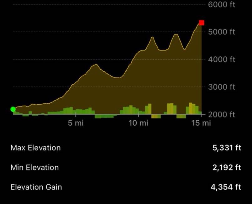
Disregard the distance in this image; but the elevation is super interesting and looks pretty accurate! How cool is that.
Well, I guess that’s it! I’m definitely not done hiking in the Adirondacks, but I can now say this chapter of my life pursuing the 46 high peaks has come to an end. It’s bittersweet for sure – but I’m so proud of myself for pushing through endless hurdles and I’m so grateful to my support network of friends and family for standing beside me. Thank you for being a part of this journey with me, I hope it inspires you to go on one of your own! Happy hiking ❤
ADK 46er number: 17306
Mount Marcy: 5343′ Elevation Gain: 5140′
Total duration: ~14 hours
Total distance: ~18 miles
All images are property of adktrailtalesandtails and may only be used with express permission.


Congratulations, Natalie!!!! What a tremendous feat, so proud of you!!!!
LikeLike
Thank you Gary!’
LikeLiked by 1 person