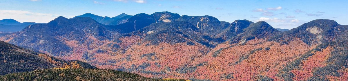
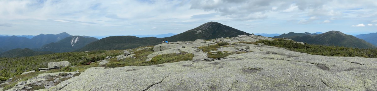
Gray (7), Skylight (4), and Marcy (1)

8/16/2026

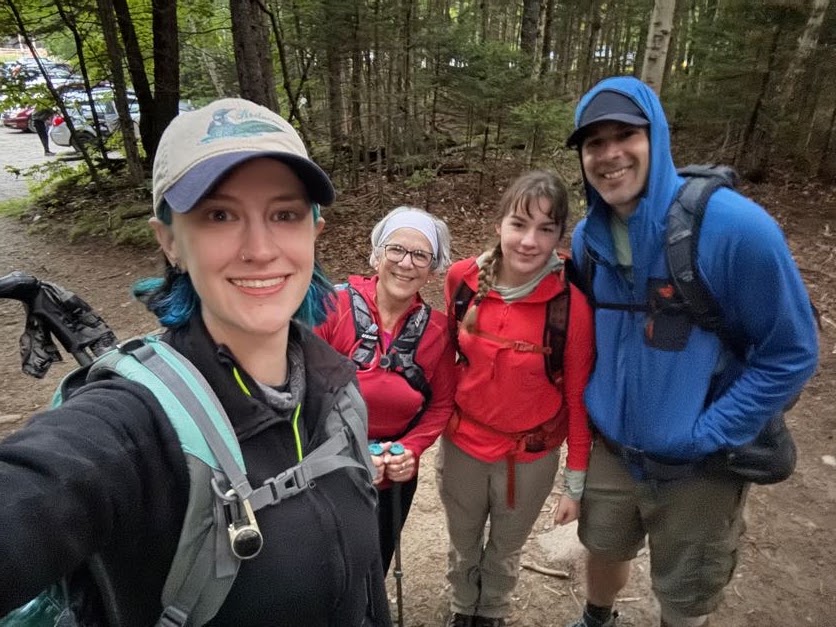
Well, the day has come. 10 years and 1 week since I climbed my very first high peaks (Cascade (36) and Porter (38) Mountains), my family and I woke up in Lake Placid at 4:45am and made our way to the ADK Loj trailhead. We rolled in at 5:40am, pulled on our boots, and made our way to the register.
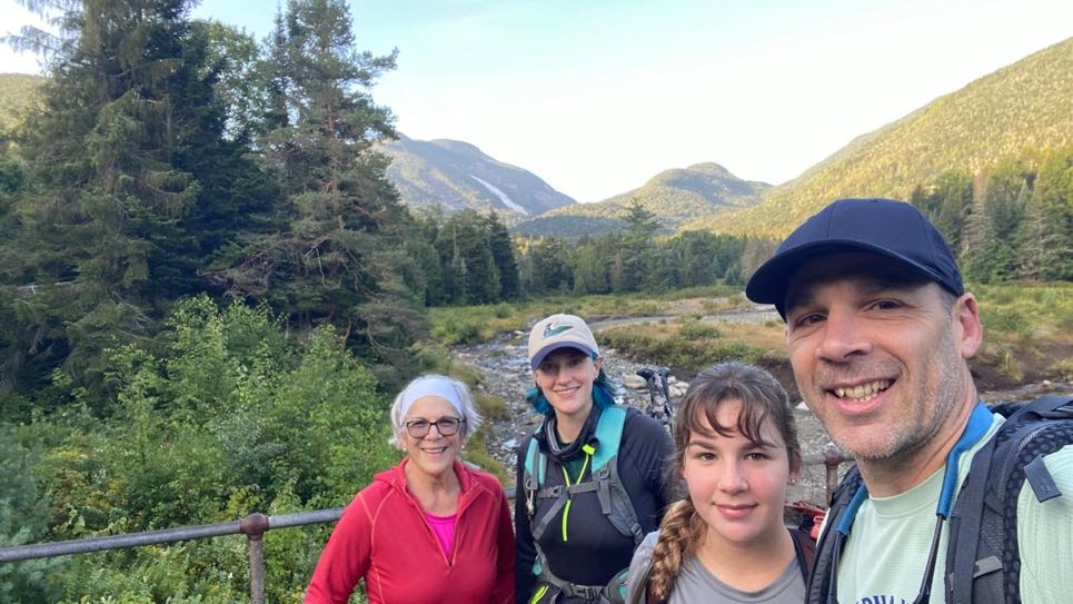
In an absolute surprise, my mother-in-law (a 46r herself!) and my step-daughter flew in from out of town to give me the absolute best birthday gift I could have asked for – meeting me at the summit of Mt Marcy to celebrate my completion of the 46 high peaks. Looking back through all of my trip reports over the years, it’s funny how many are dated on or around my birthday. All I ever want to do on my birthday is go for a hike, so it’s fitting to bring an end to this epic chapter on this specific day.
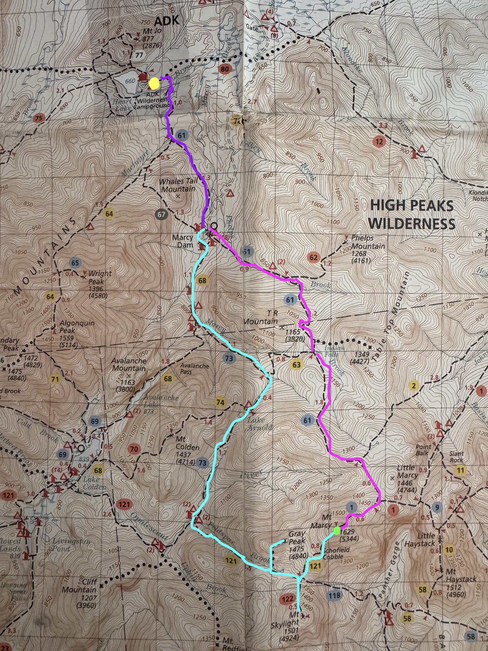
The plan was as follows: the four of us would start together for the first few miles (dark purple), then split up at Marcy Dam. Gildo and I would go around towards Lake Arnold to summit Gray, then Skylight, and then over to Marcy (aqua), while the other two would go straight up Marcy with a pitstop at Indian Falls (pink). Several close friends were also planning to meet me at the summit of Marcy following this path, so we were shooting to get to Marcy by around 2pm and hoping everyone would make it up at around then.
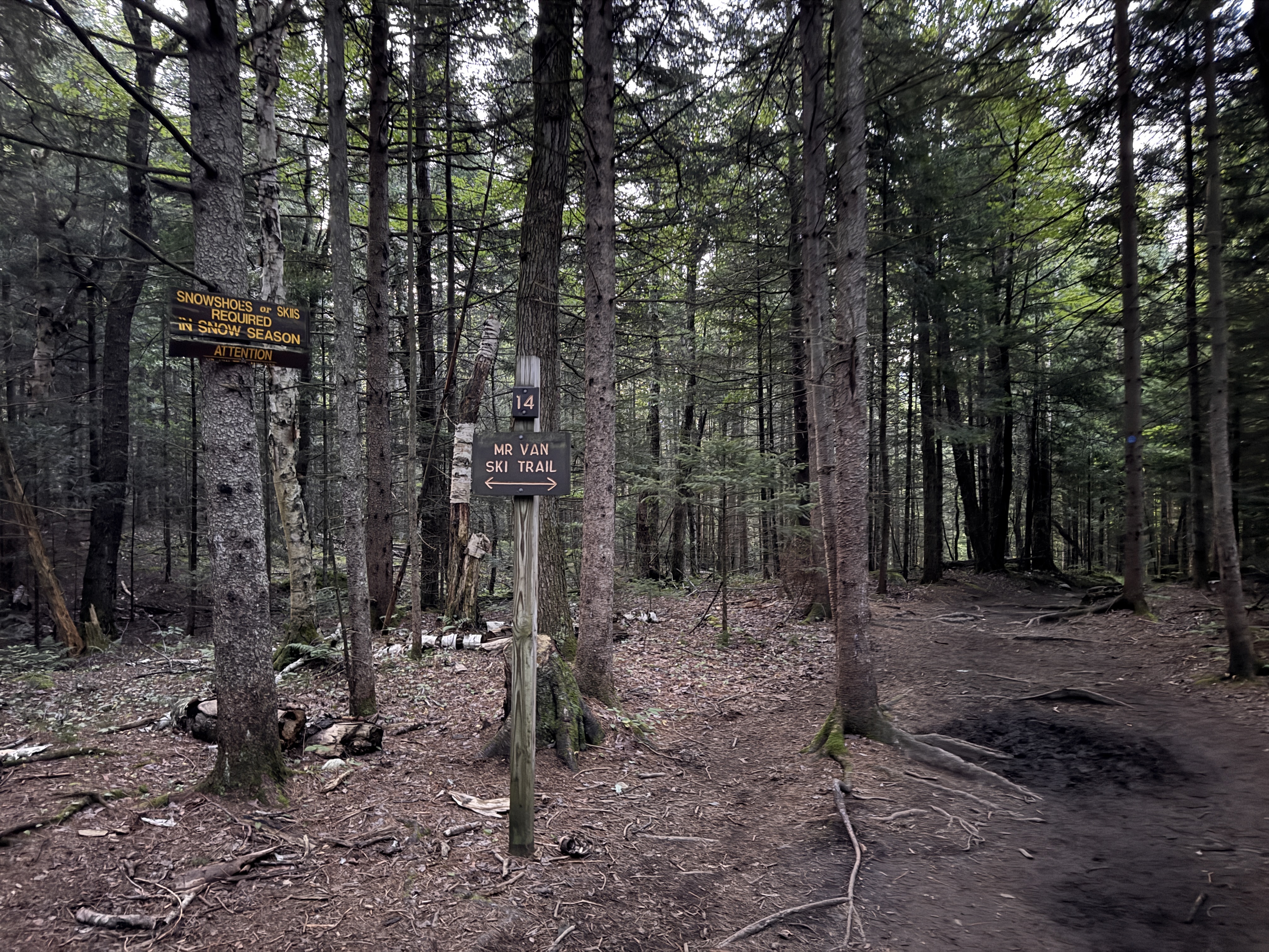
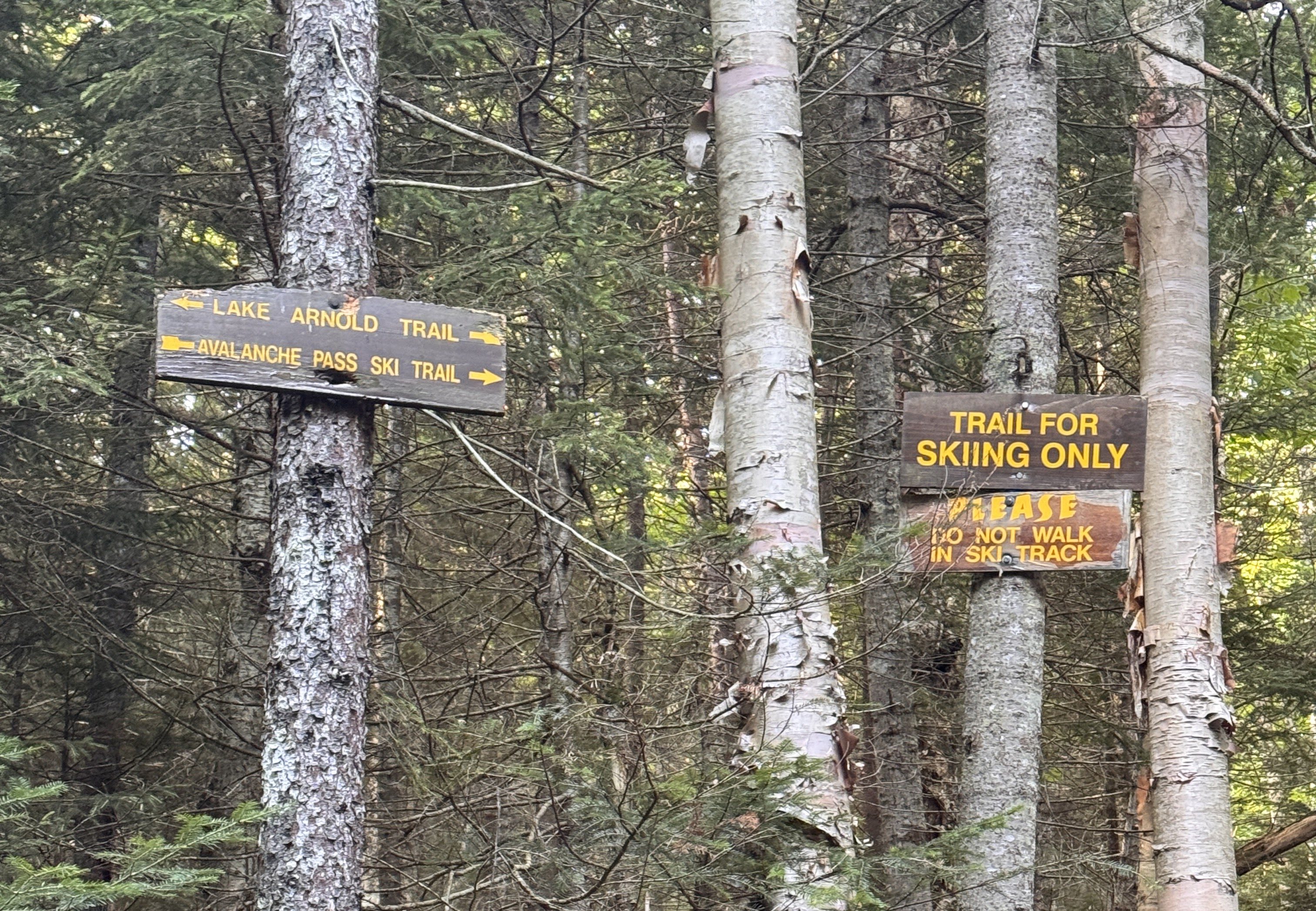
At exactly 6:00am we set off from the register, quickly reaching the very first junction with the ski trail.
The Golden Ardilla must have been excited for us to be there this morning; she dropped her first treat for us on the trail at 6:08am.
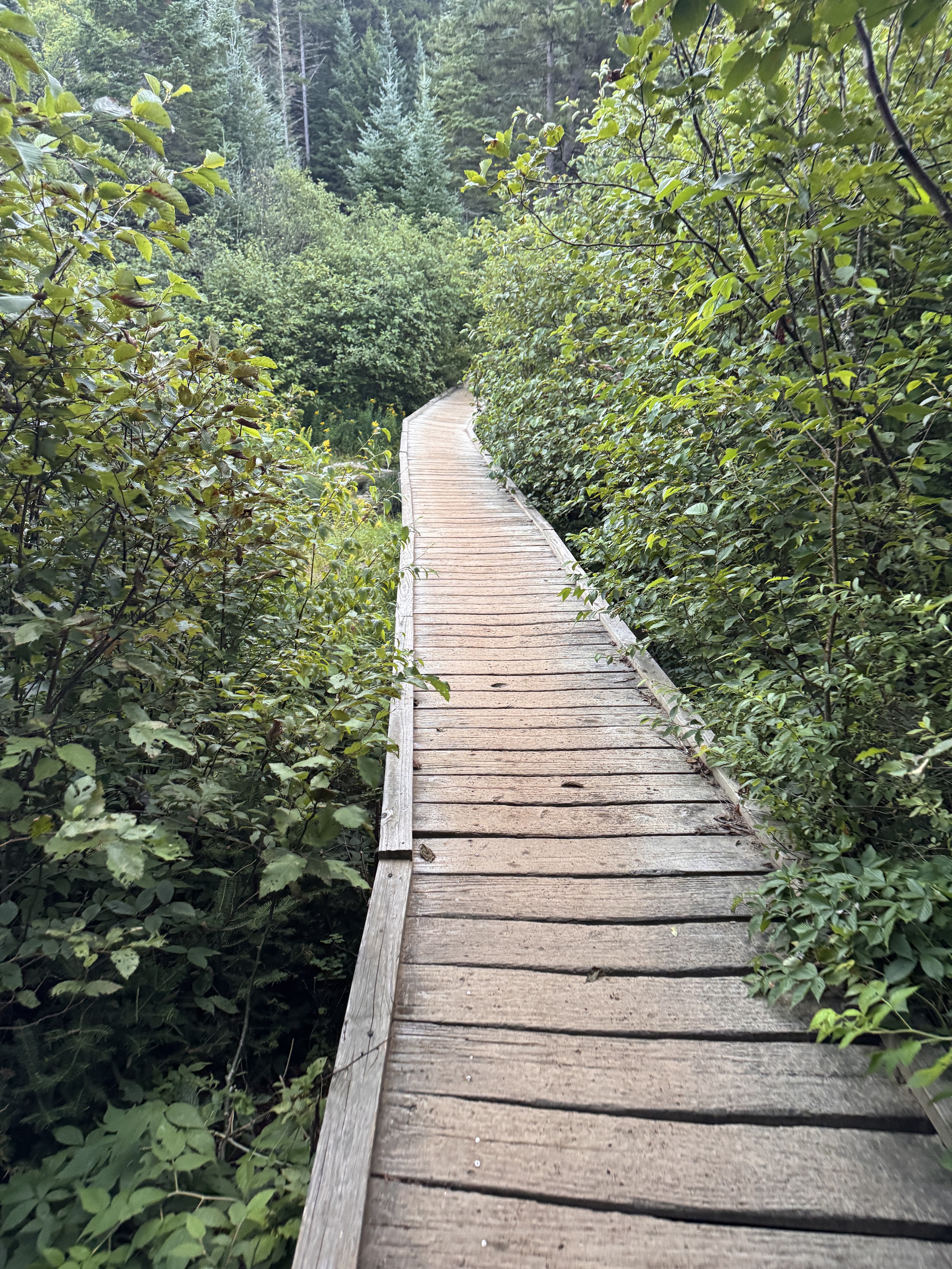
At 6:30 we reached the junction to Algonquin and stayed to the left.
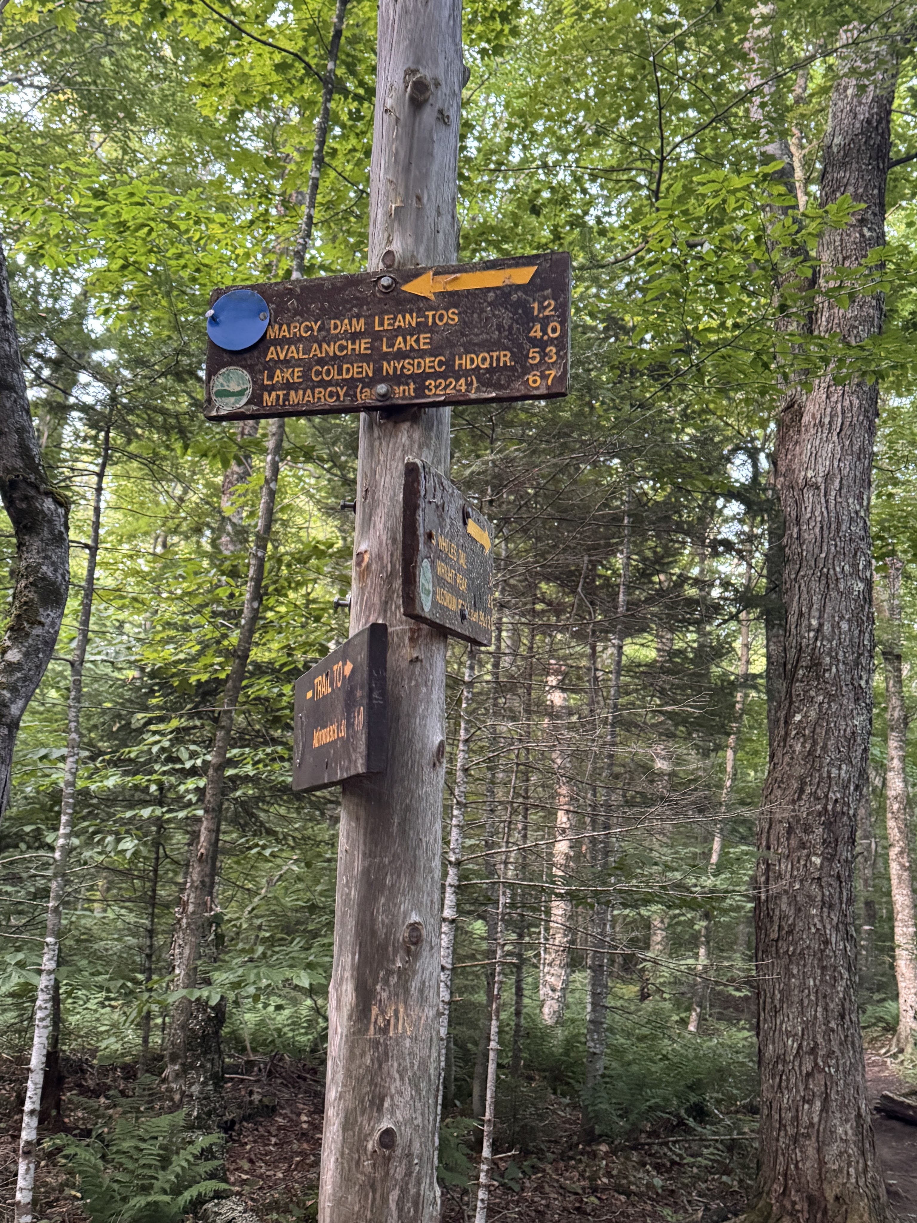
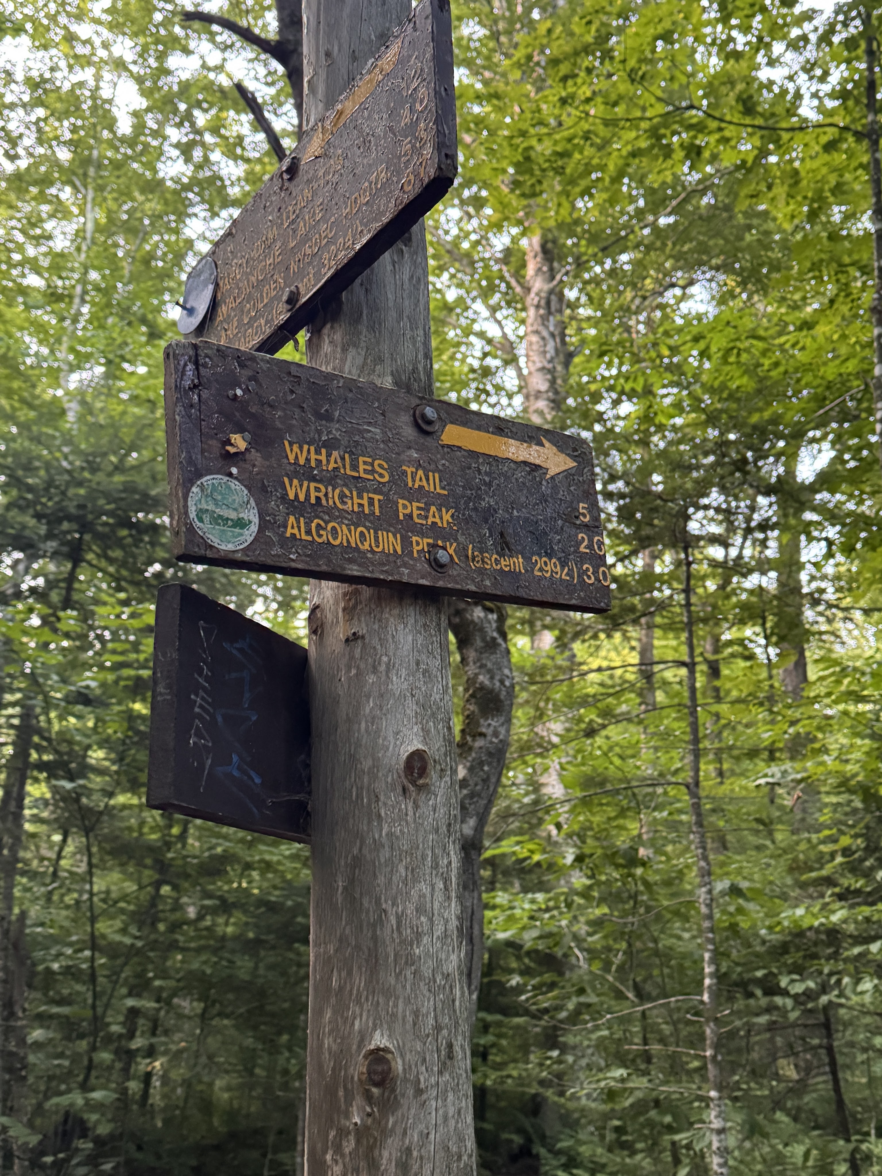
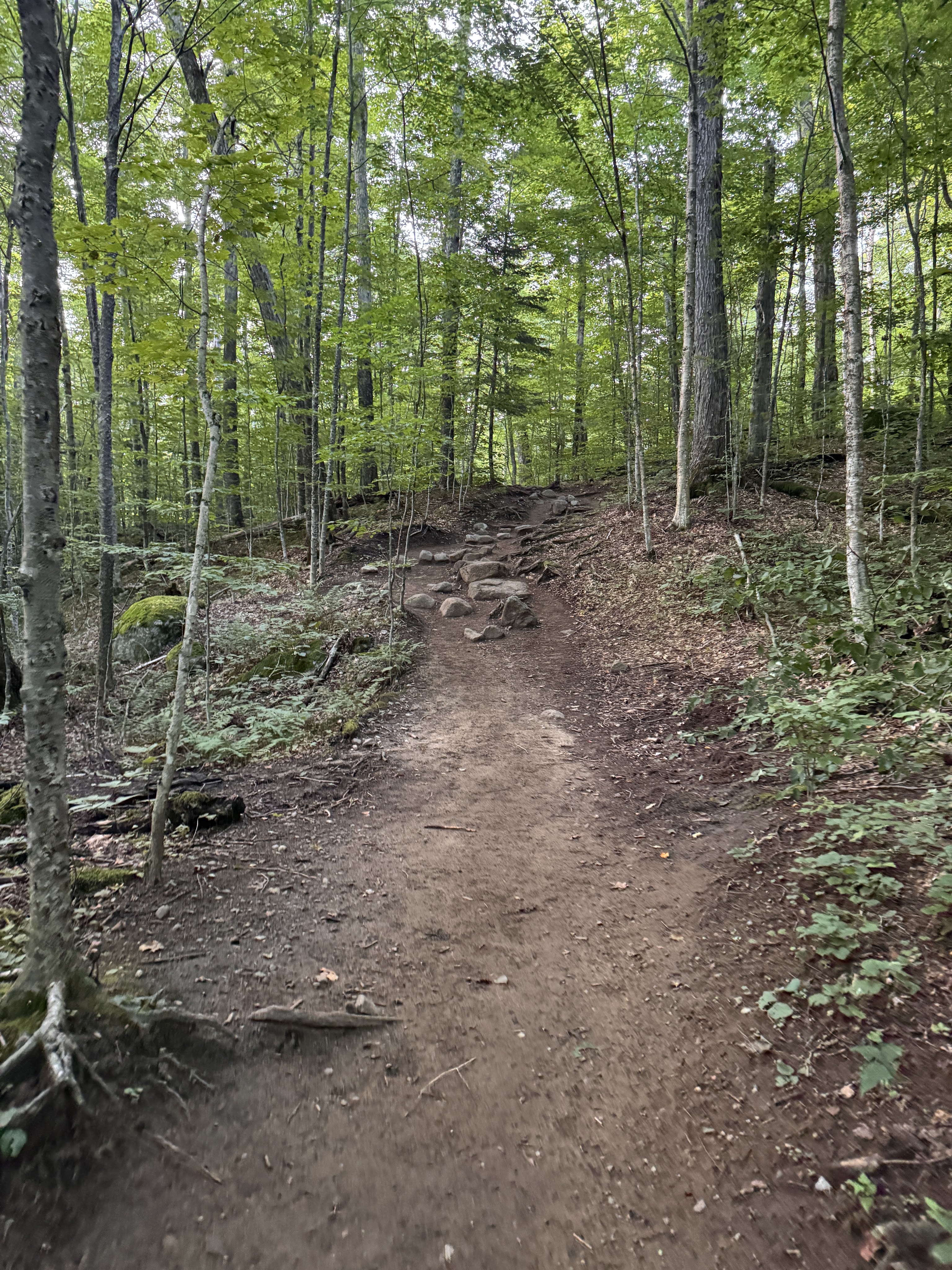
I love walking in the forest at this time of the morning. The birds were just waking up, soft light filtered through the trees. We were tired but happy to be there, chatting and spotting mushrooms as we trod.
It took just an hour to reach Marcy Dam, 2.3 miles from the trailhead.
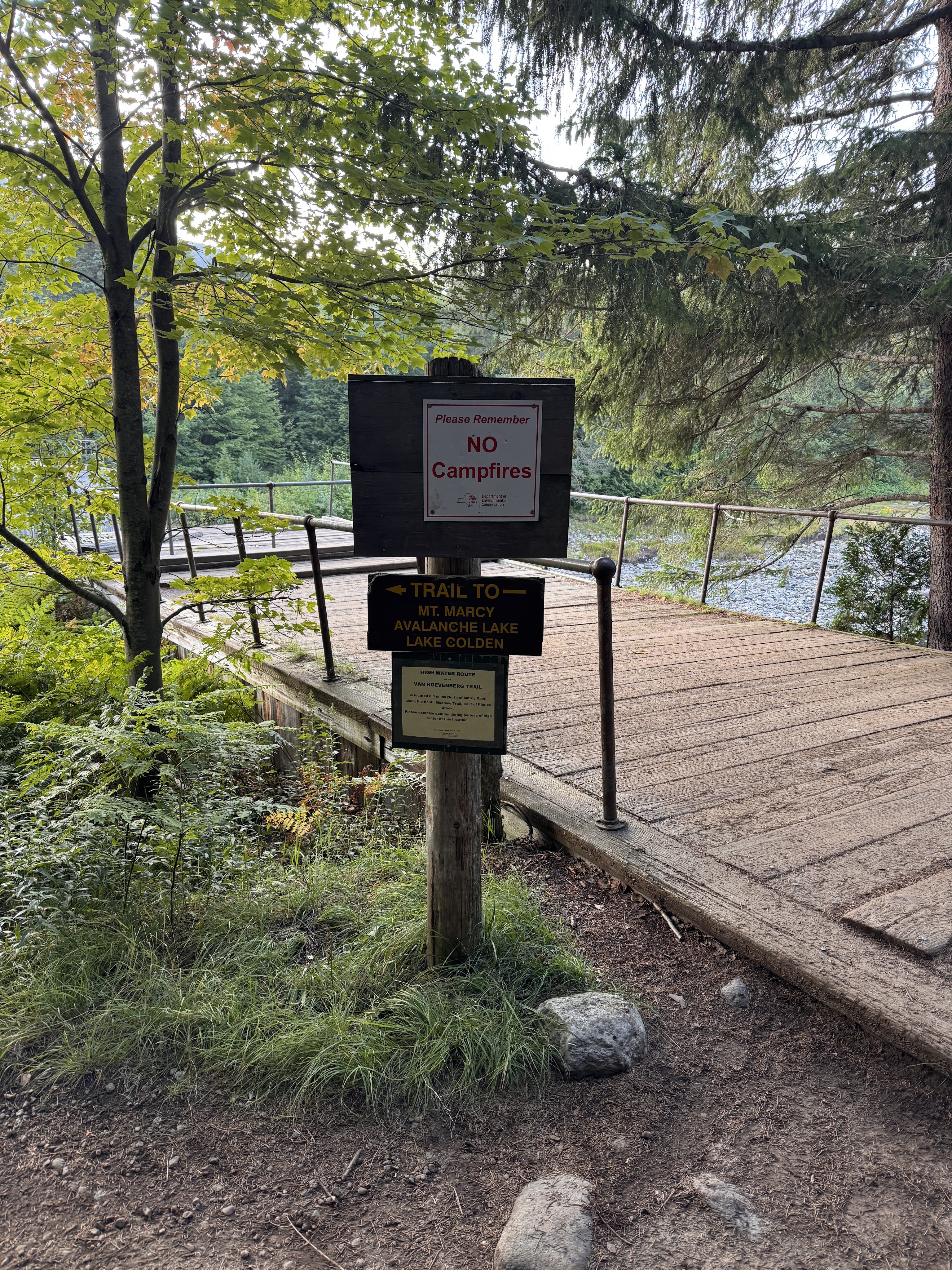
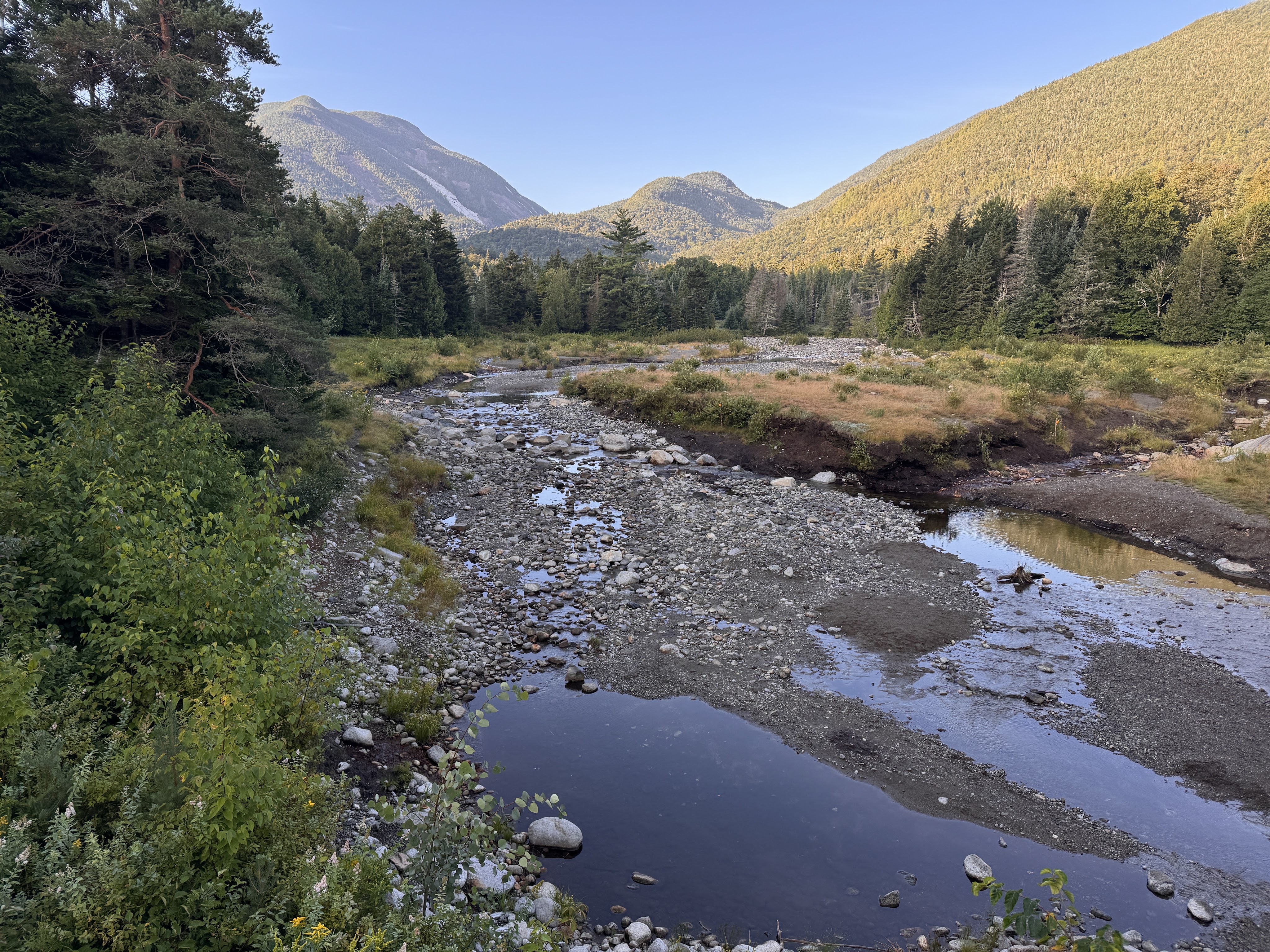
These days, hikers find a mostly-dismantled bridge that is all that remains of the iconic Marcy Dam. The dam was built in the 1930s, impounding Marcy Dam Pond and creating a popular gathering spot for hikers and skiers as the focal point of multiple campsites and lean-tos. During hurricane Irene in 2011, the dam was damaged due to flooding and the pond partially drained. In 2014, NYSDEC announced they would remove the dam due to both expensive reconstruction costs as well as to minimize the impact of human-made structures on the streams and rivers. (source: Marcy Dam – Wikipedia) So now it looks like this.
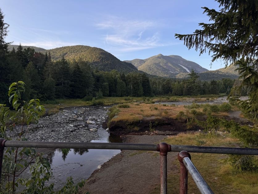
The dam was built during the logging days to divert the Opalescent into Calamity Brook to power the blast furnaces for iron at the Upper Works. The trail is now rerouted downstream with a nice high water bridge. Though I’m sure the lake was beautiful when the dam was in place, I’m glad to see the wilderness return to its natural state, with the rivers flowing in the way they’re meant to. (Source: Lake Tear of the Clouds – Source of the Hudson River | Lake Placid)
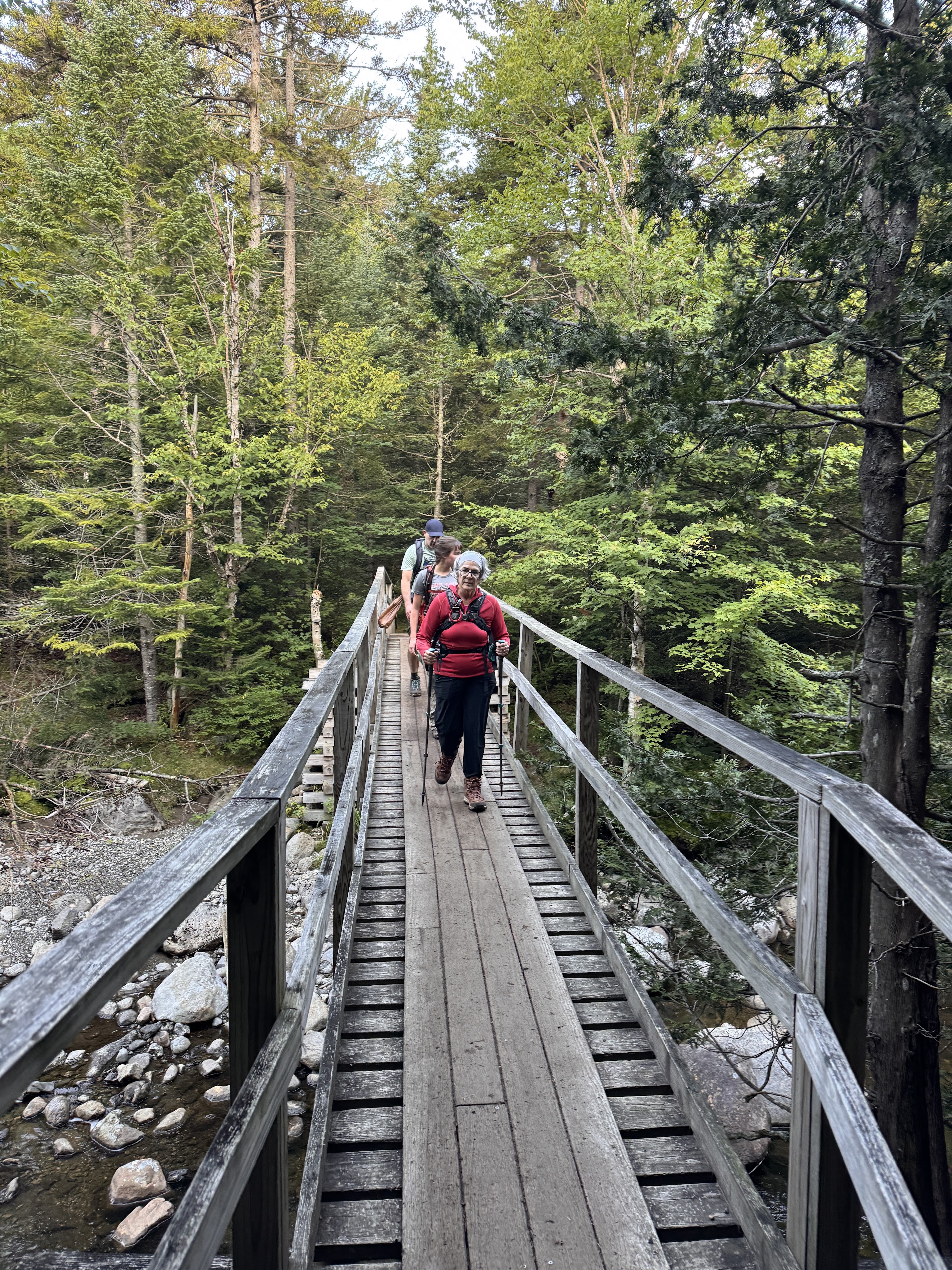
This is where we split up. Gildo and I had 4 more miles to go than the other two in our group, so they decided to stop at the dam to rest and have some breakfast. We said our goodbyes, and on we went.
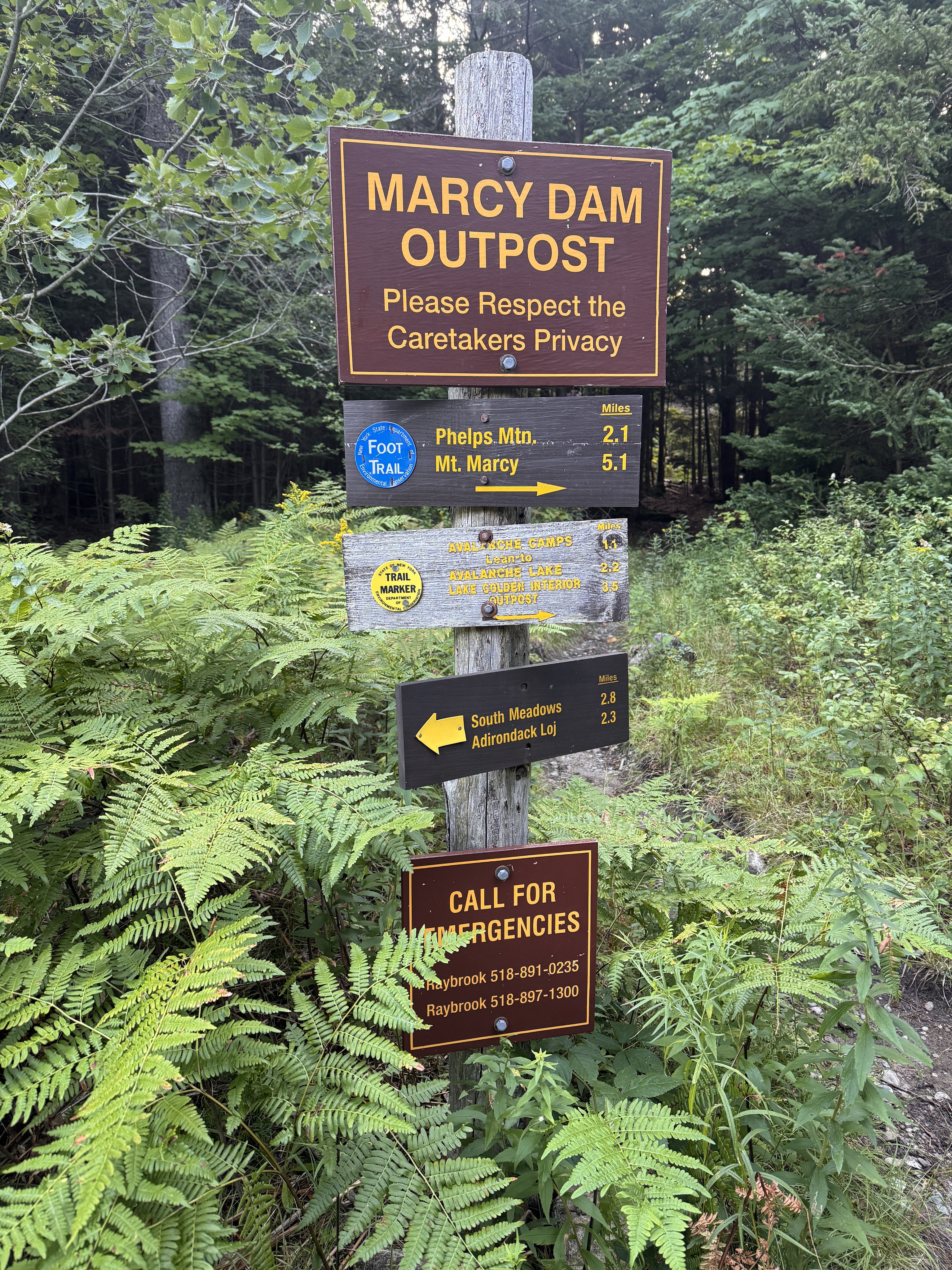
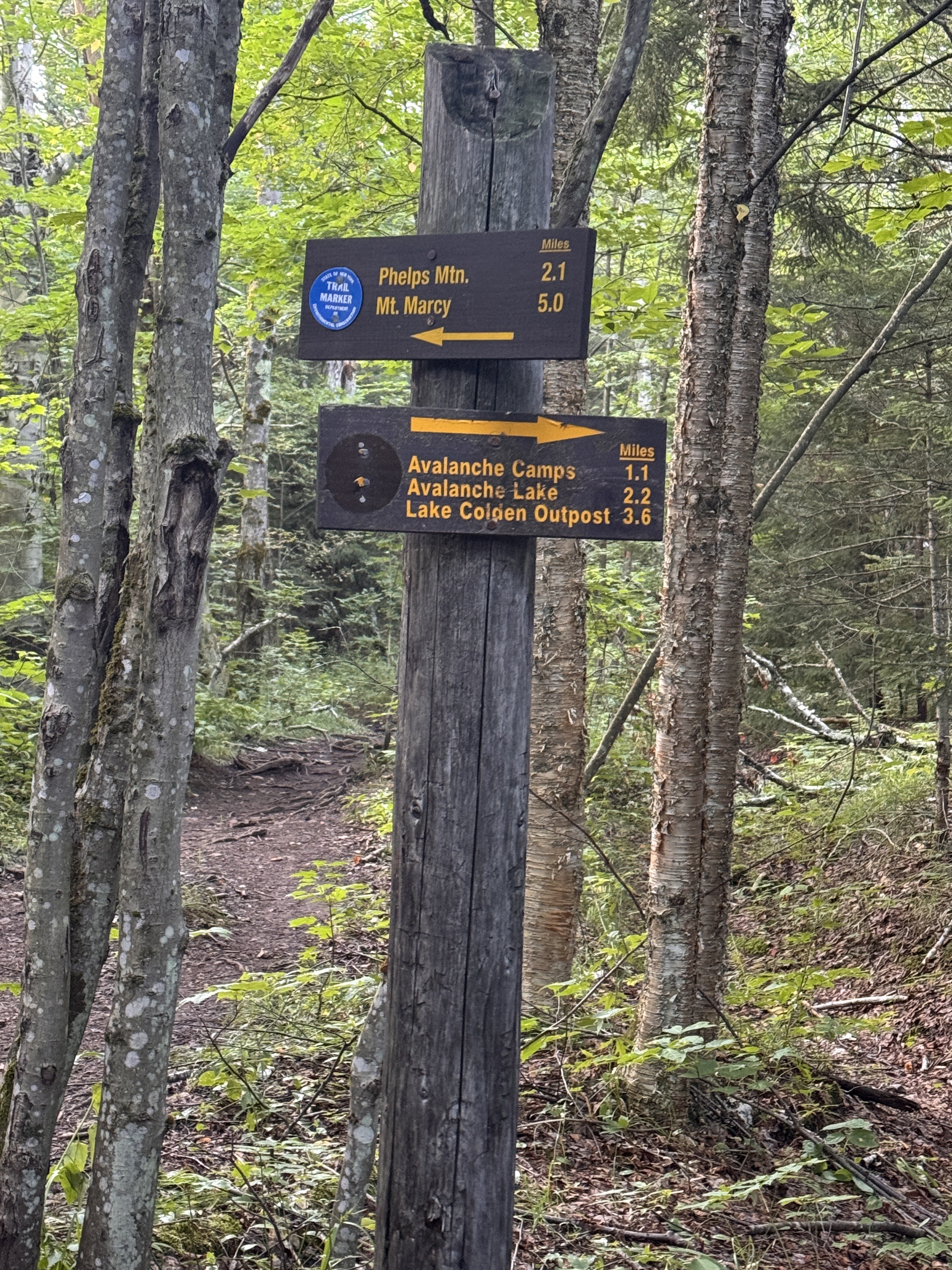
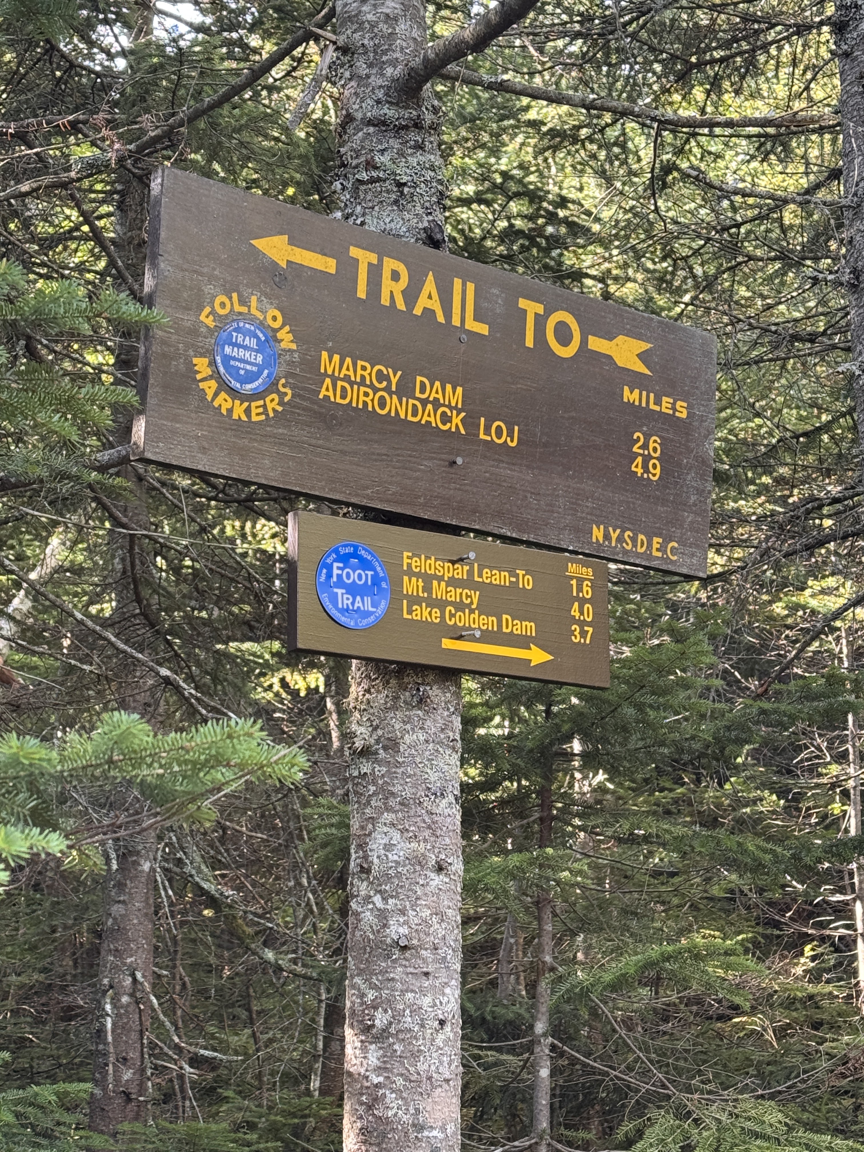
The markers were a little bit confusing here. This sign post shows the blue markers going towards Phelps Mountain, the route everyone else would be taking, and the trail towards Avalanche Lake (our route) would be marked in yellow.

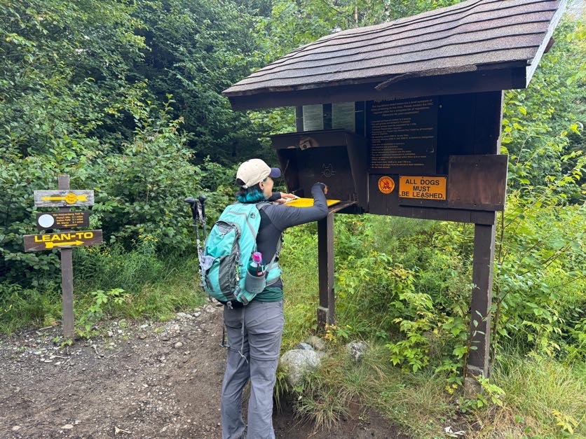
At 7:13am we signed in at this comically tall register. I was looking forward to signing out again later in the day, seeing my friends names who would be signing in after me.
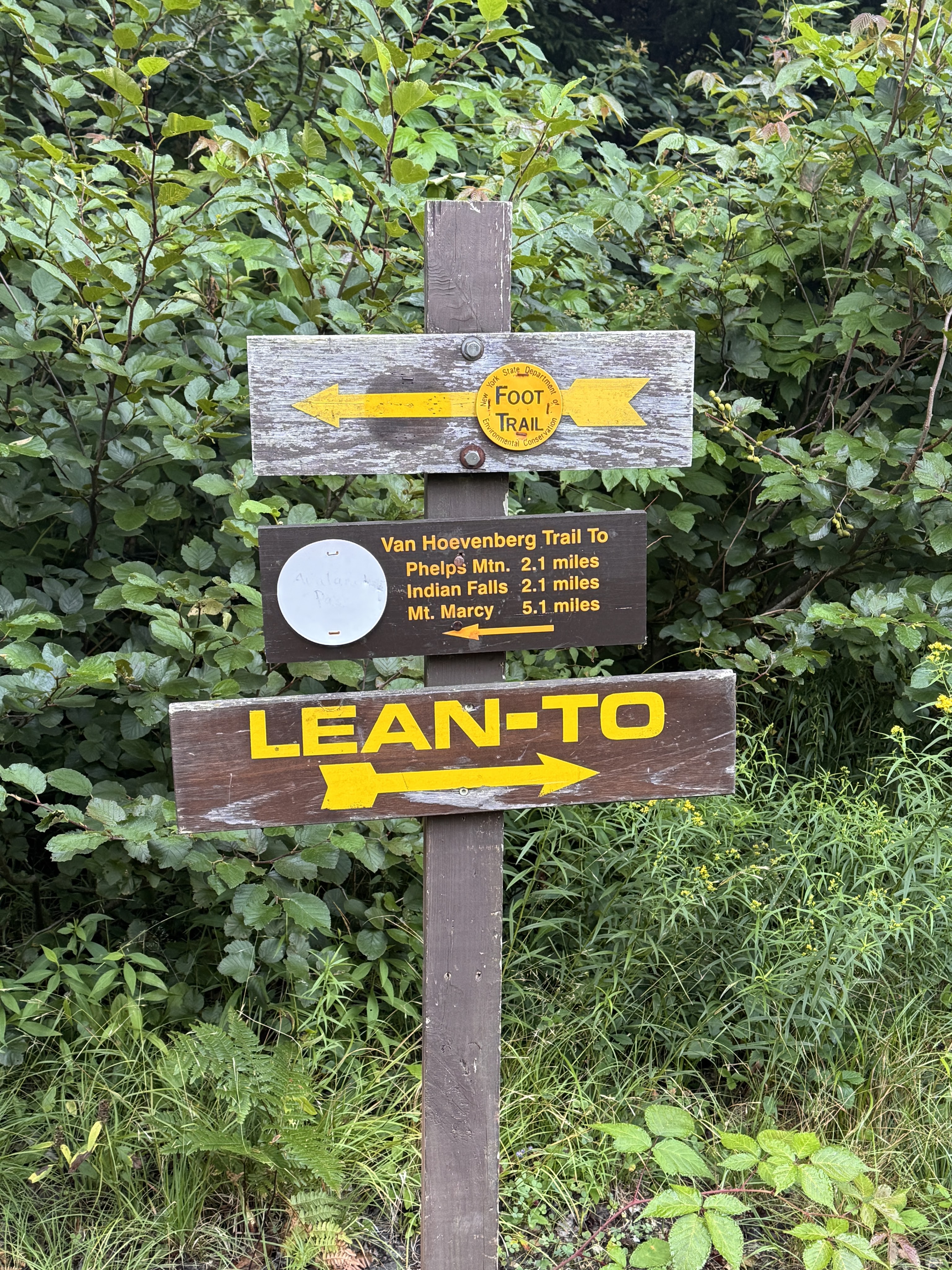
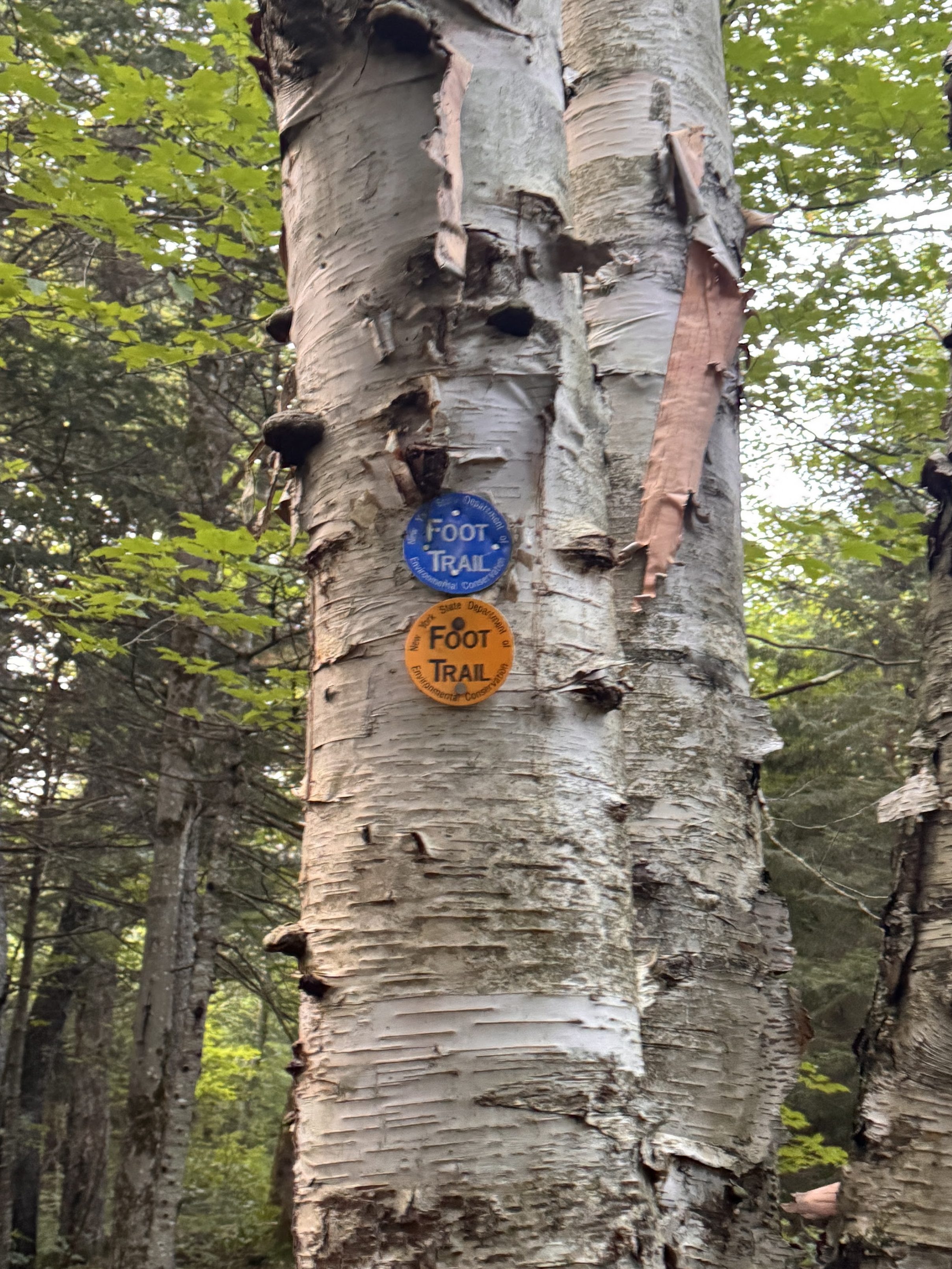
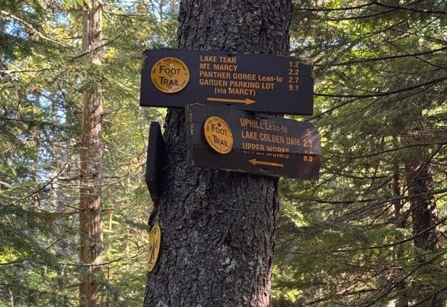
The trail around Marcy Dam is a small loop with loads of interconnecting trails. We were careful to read each sign to ensure we were going the right way at each junction, especially when we saw multiple trail markers on a single tree.
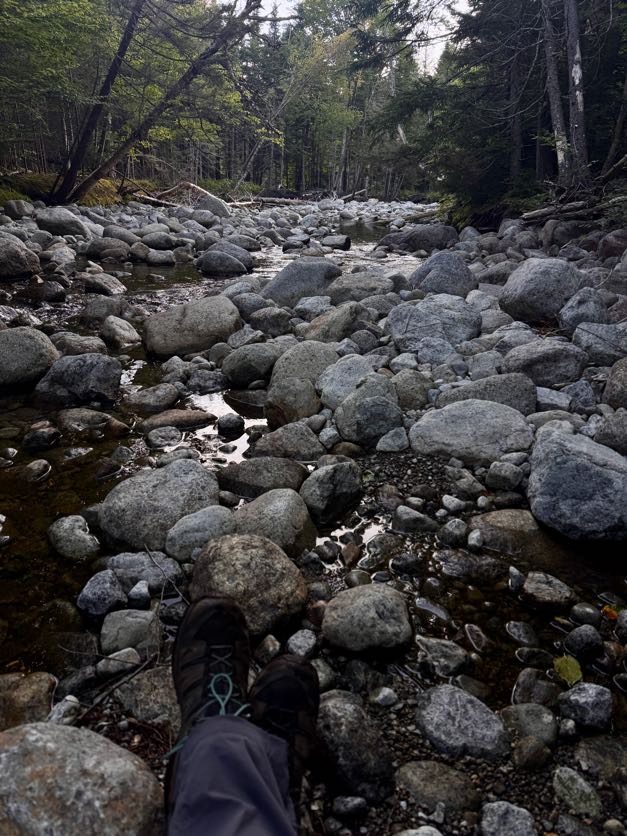
It was so peaceful here. Most campers were either still sleeping or just getting started moving around their campsites, and the only other people we’d seen so far were just as happy to be there as we were.
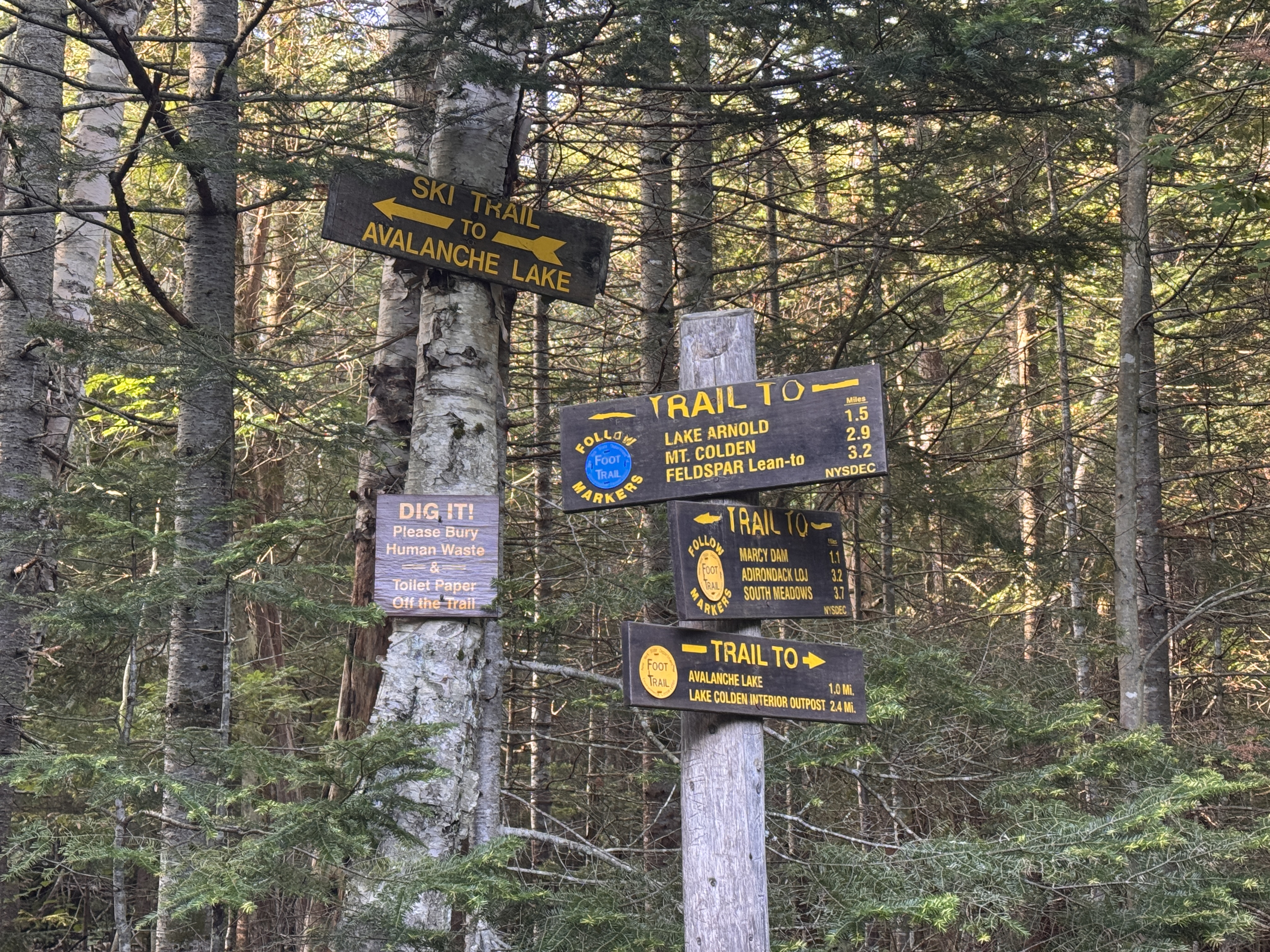
At 7:52 we’d traversed the 1.1 miles from Marcy Dam to the next junction. This time we stayed on the blue trail toward Lake Arnold.
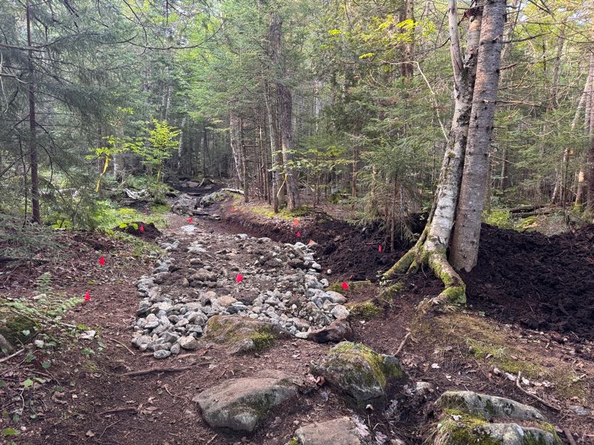
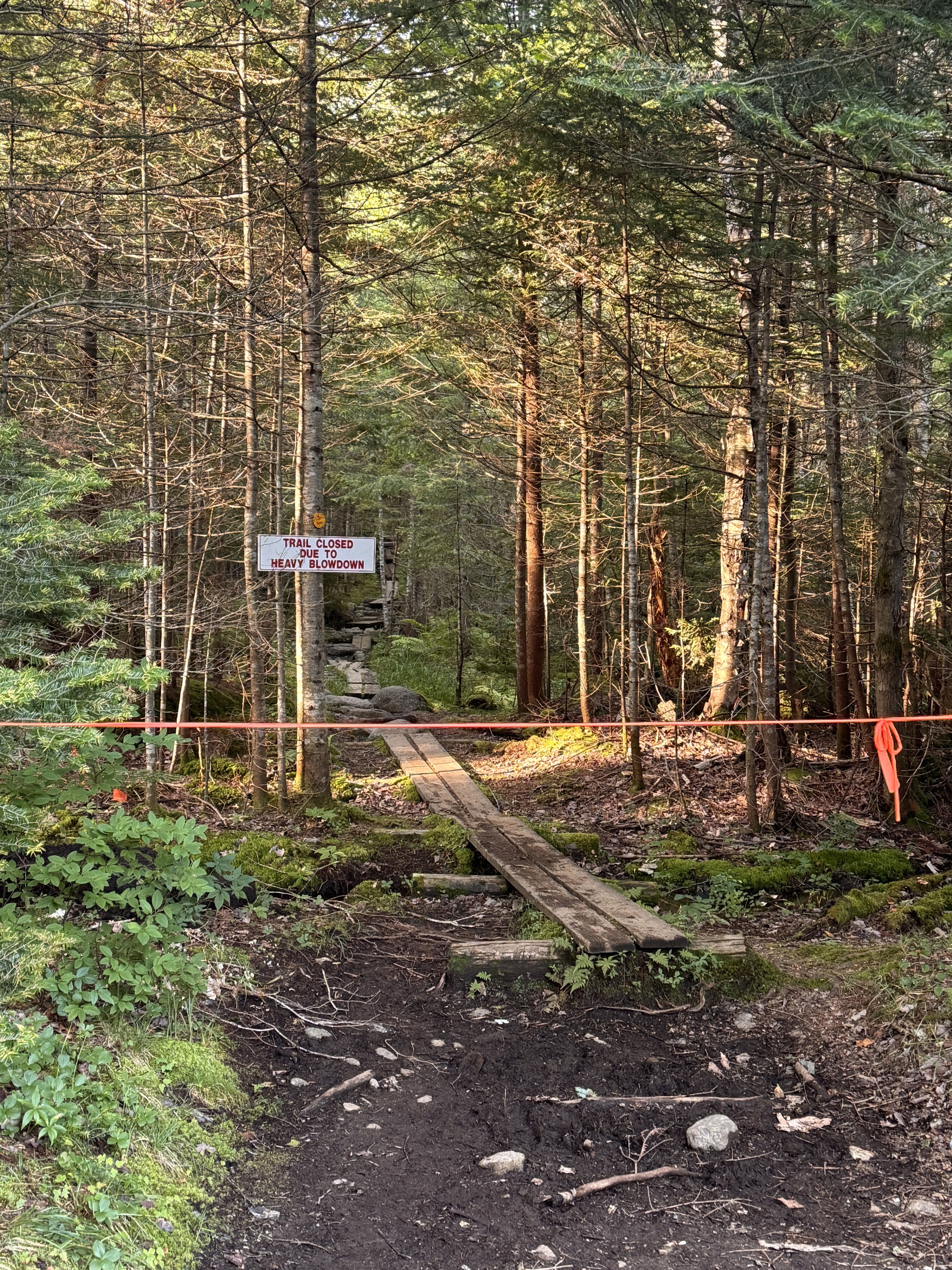
The trail to avalanche lake was actually still closed due to the landslide that happened during a severe thunderstorm in July 2025. We passed by some reconstructive efforts on the trail and noted the closed trail.
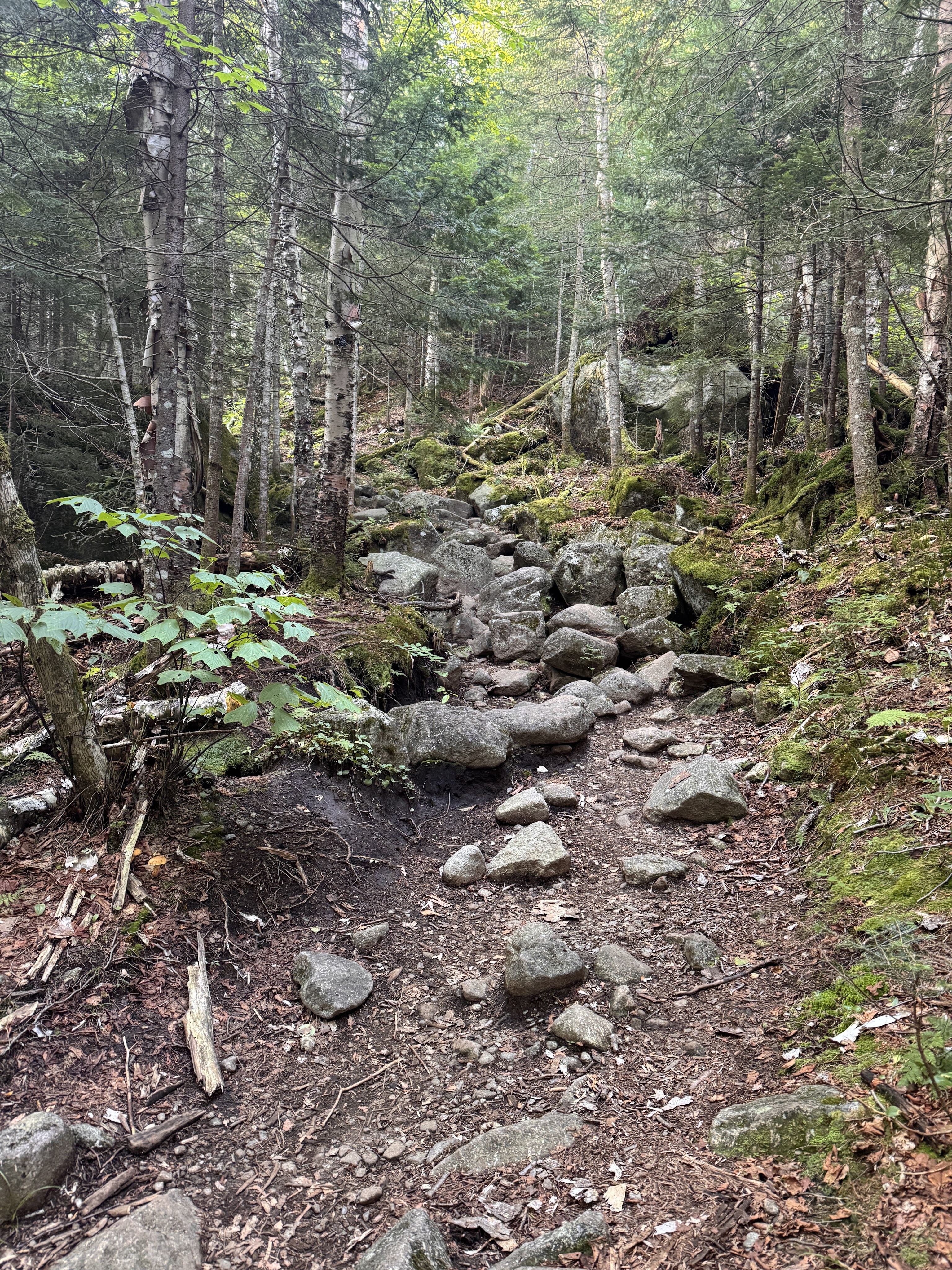
Until now the trail had been relatively flat, just little ups and downs but nothing major. For the next 1.1 miles we would climb pretty steadily up towards lake Arnold.
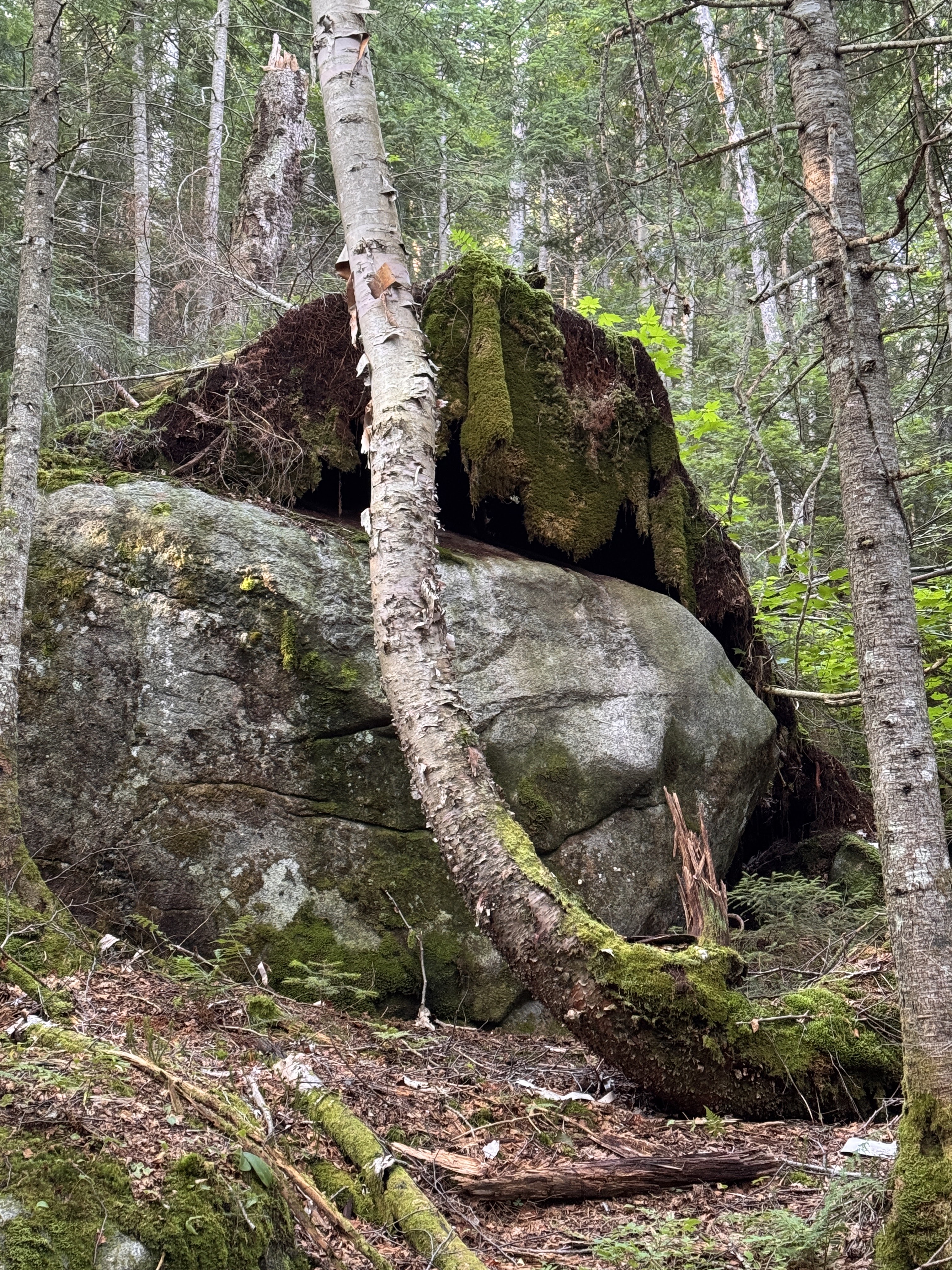
Look at this – the tree that was rooted around this boulder had fallen, removing the moss and lichen from the rock like a blanket. Looks like a great place to take a nap! (You know I’m sleepy on a trail when I start looking for places to nap).
Someone asked me recently what do I think about when I’m on these long hikes. As if I might struggle to find things to occupy myself. But it’s never occurred to me to be bored while hiking – there’s so much to take in and my mind does love to wander. It’s therapeutic and meditative to just exist out in the wilderness with no distractions.
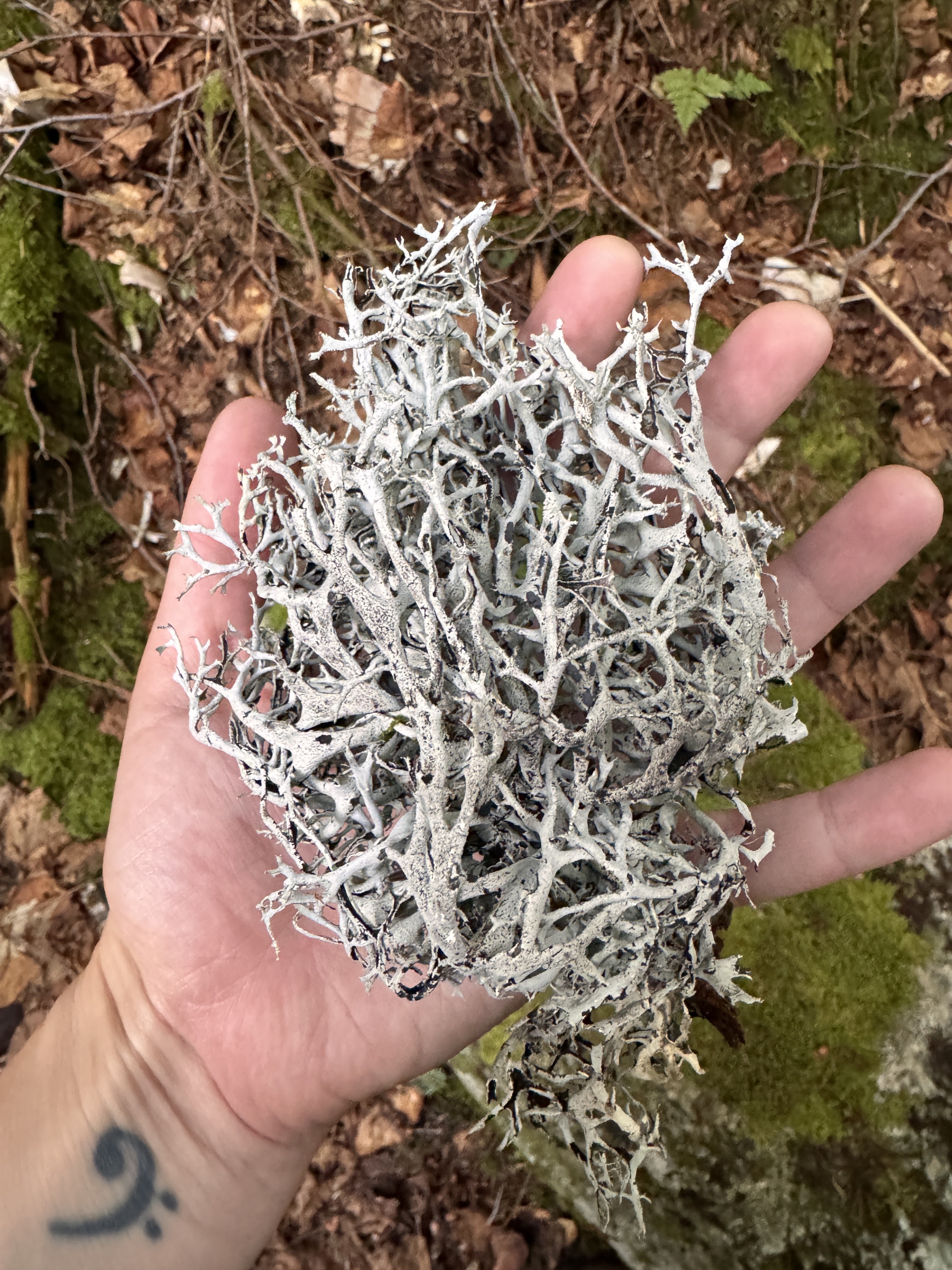
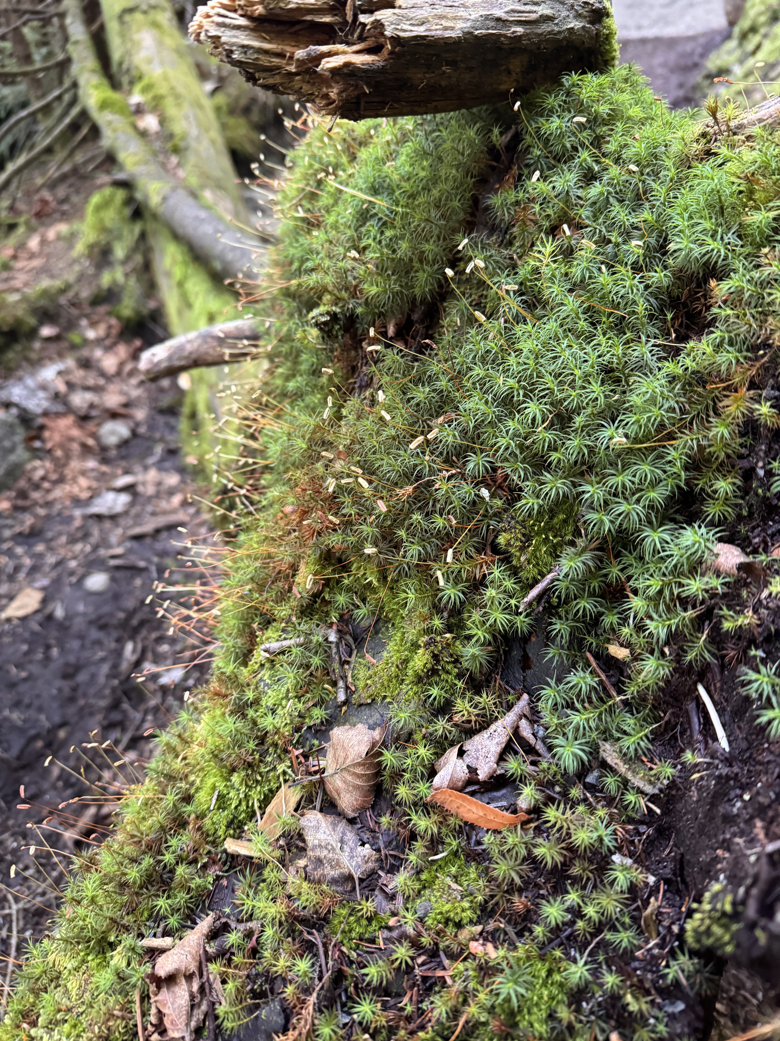
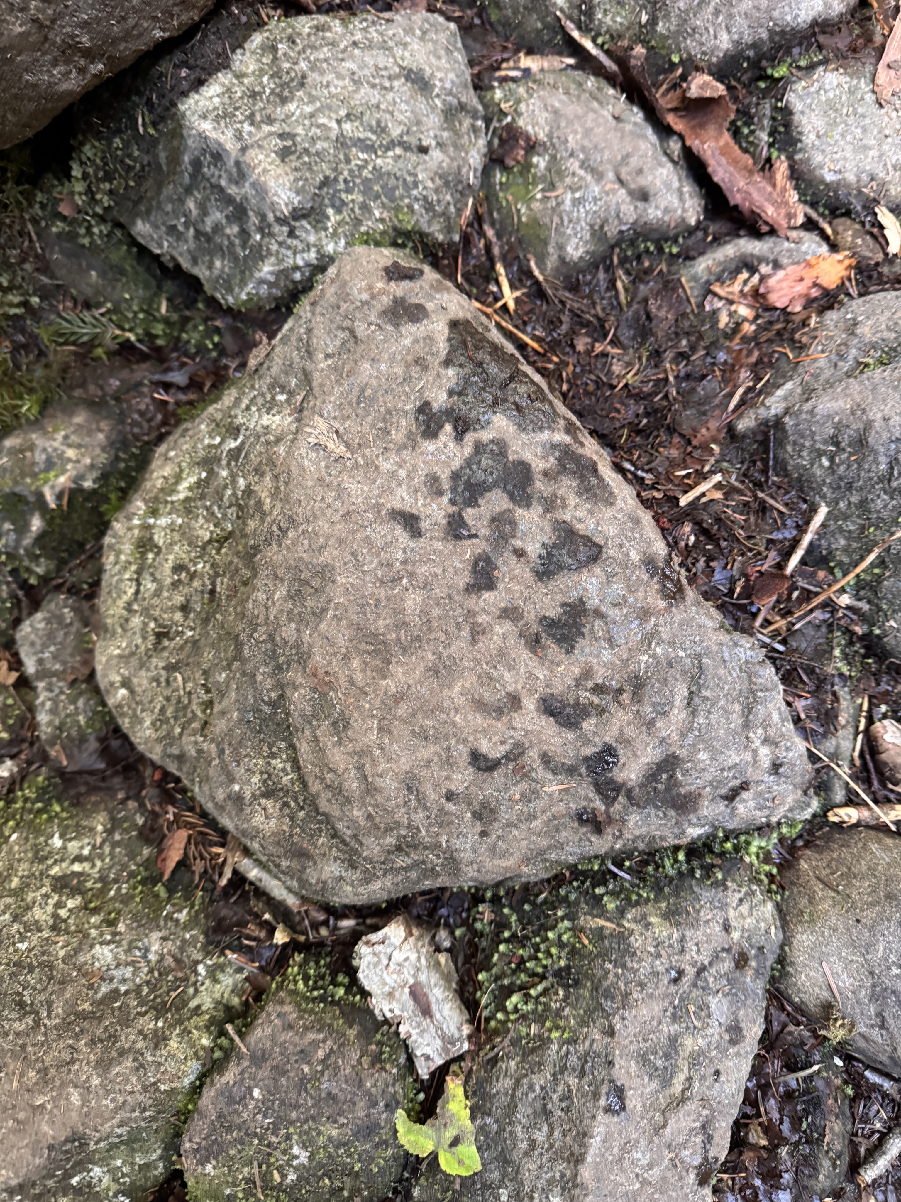
We noticed we must have been catching up to hikers ahead of us when we saw fresh prints on the rocks – I wondered if they were from Bel Air.
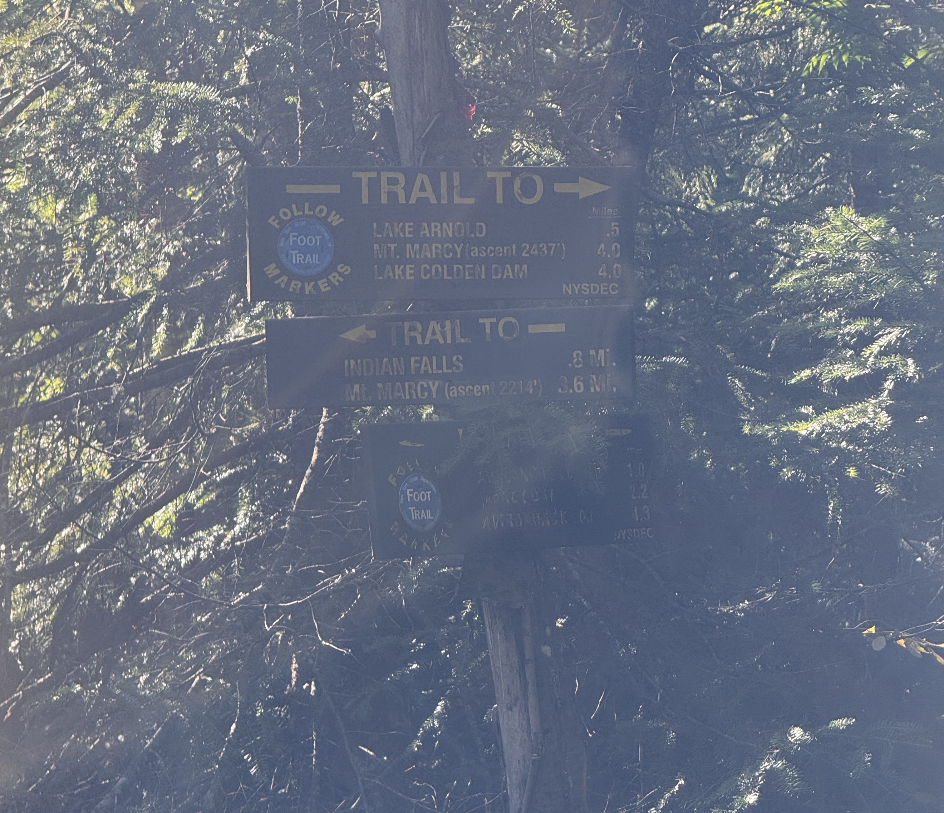
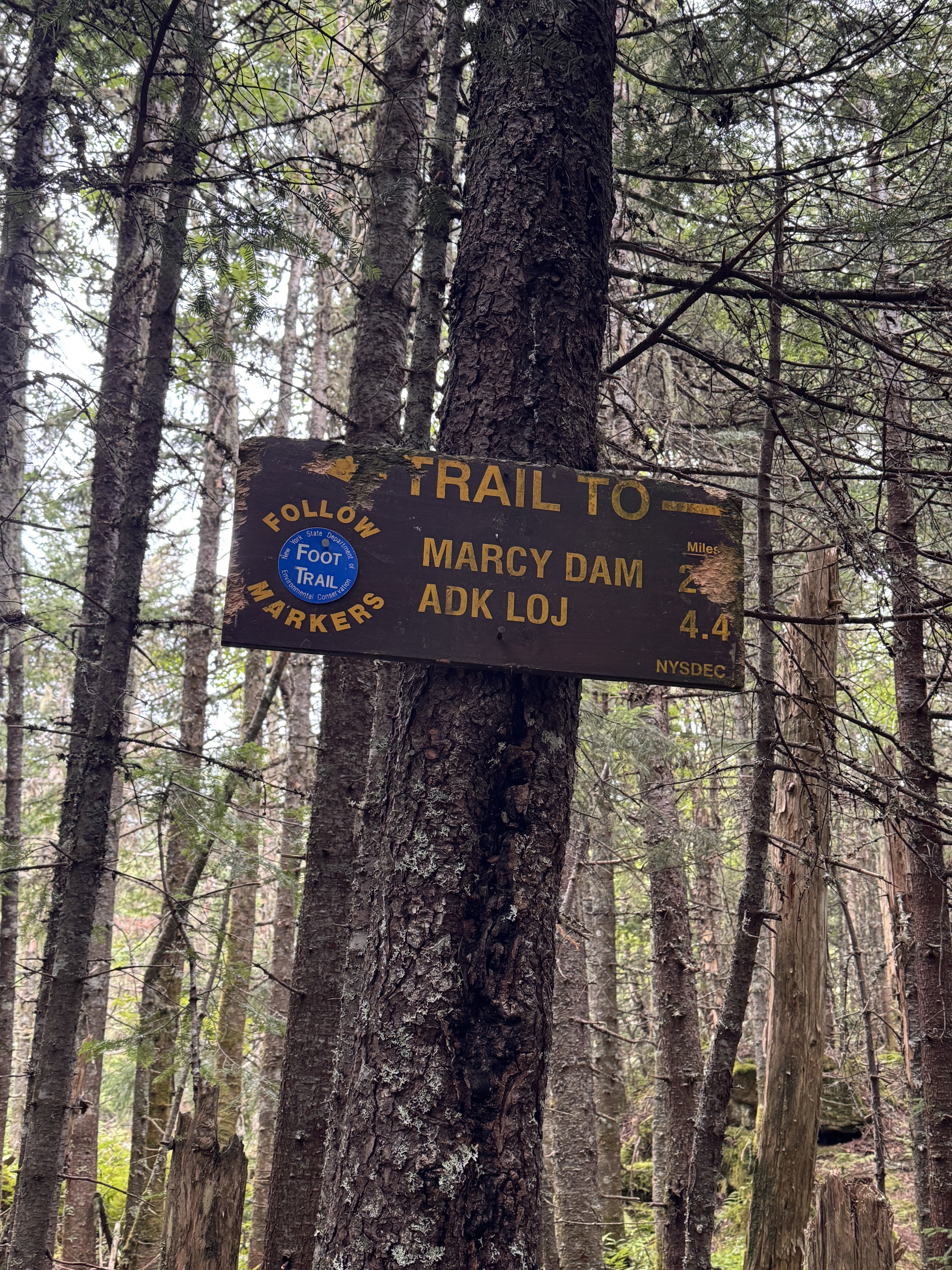
At 8:40am we reached the next junction – according to this sign, 0.5 miles to get to Lake Arnold, 4.0 to get to Marcy. However, the map shows 0.4 to Lake Arnold and 4.4 to Marcy.
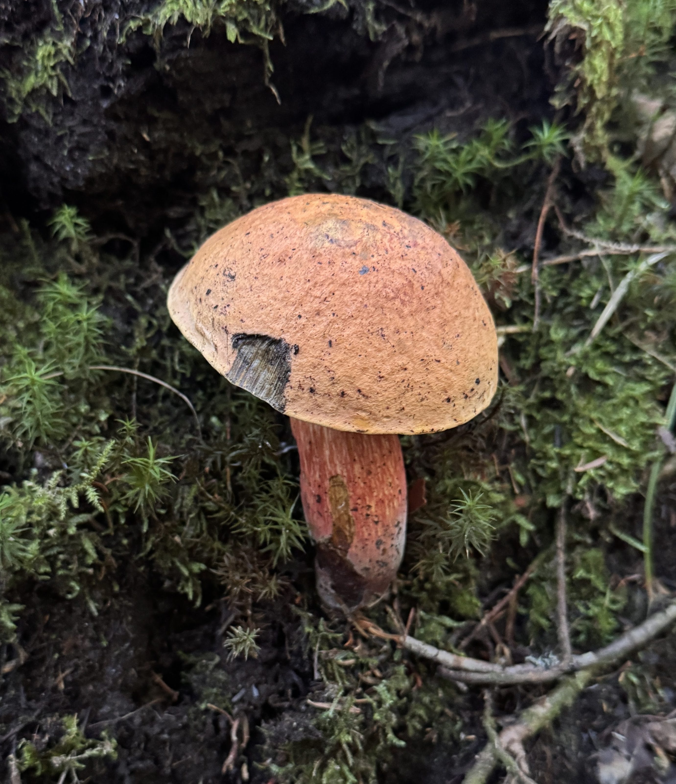
There were SO MANY MUSHROOMS of all varieties popping up through the forest floor from all the recent rain. I love spotting them and, when they look amiable, giving them a nice pat on the cap.
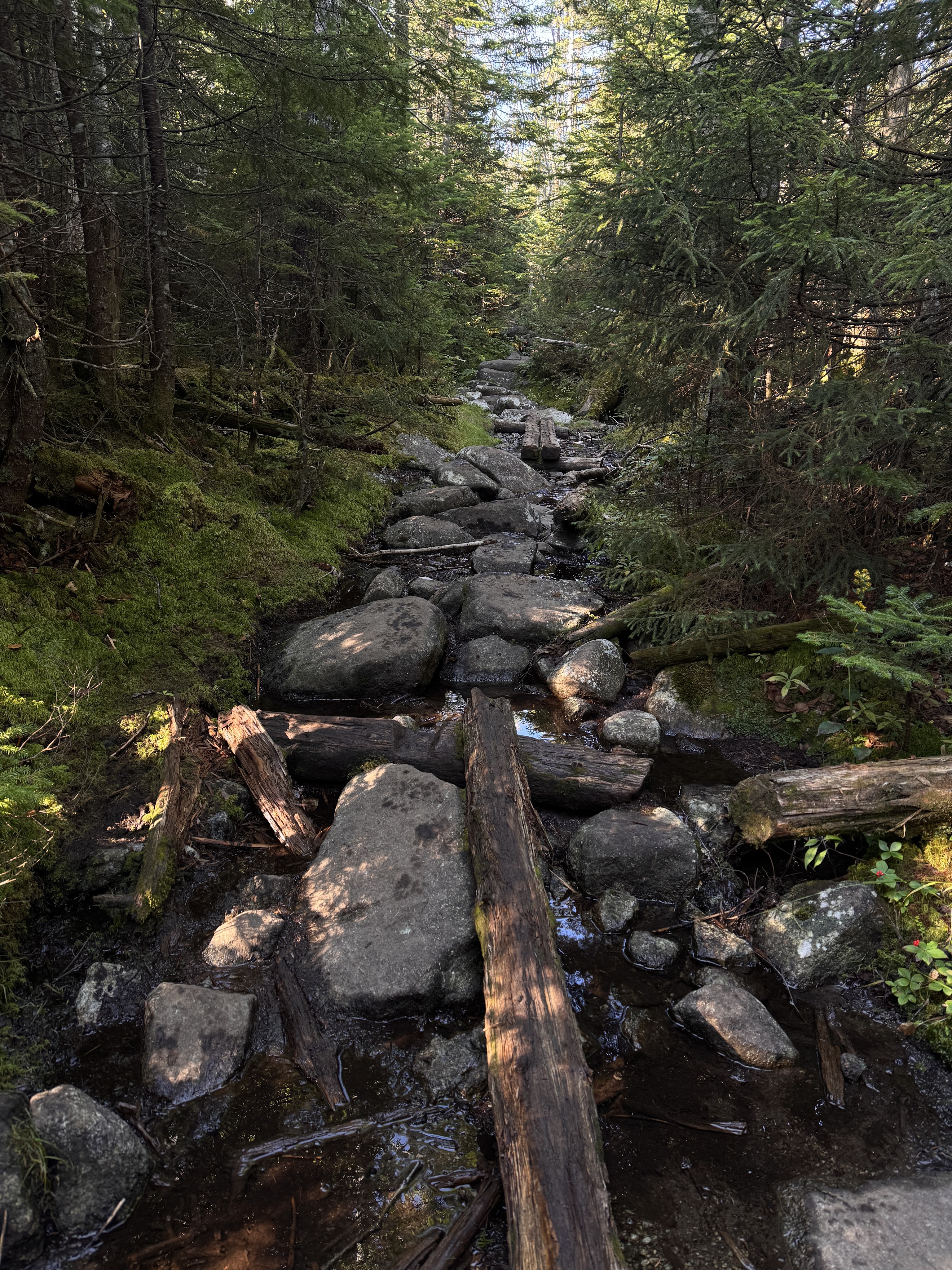
This is a pretty typical Adirondack trail at this point. The climbing continued, though not overly steep over mud and rocks and rotting puncheon.
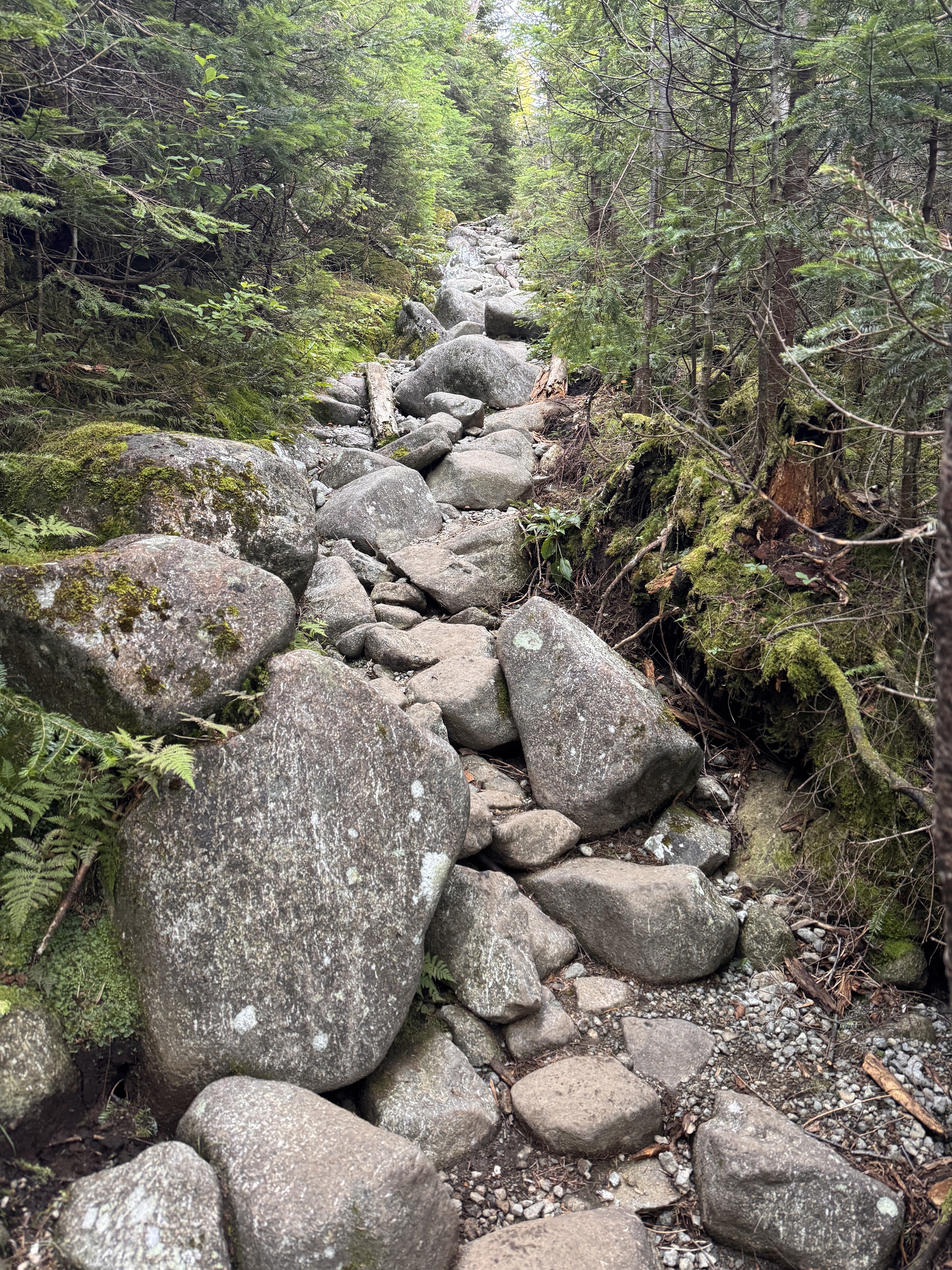
I frequently wondered (sometimes out loud) WHO PUT ALL THE ROCKS HERE!
After just 20 minutes, we reached the next junction. I had a moment of indignation when I read that somehow we were still no closer to Marcy than we were 0.4 miles ago – this sign also says Marcy is 4.0 miles away. Crosschecking with the map now, this sign is correct.
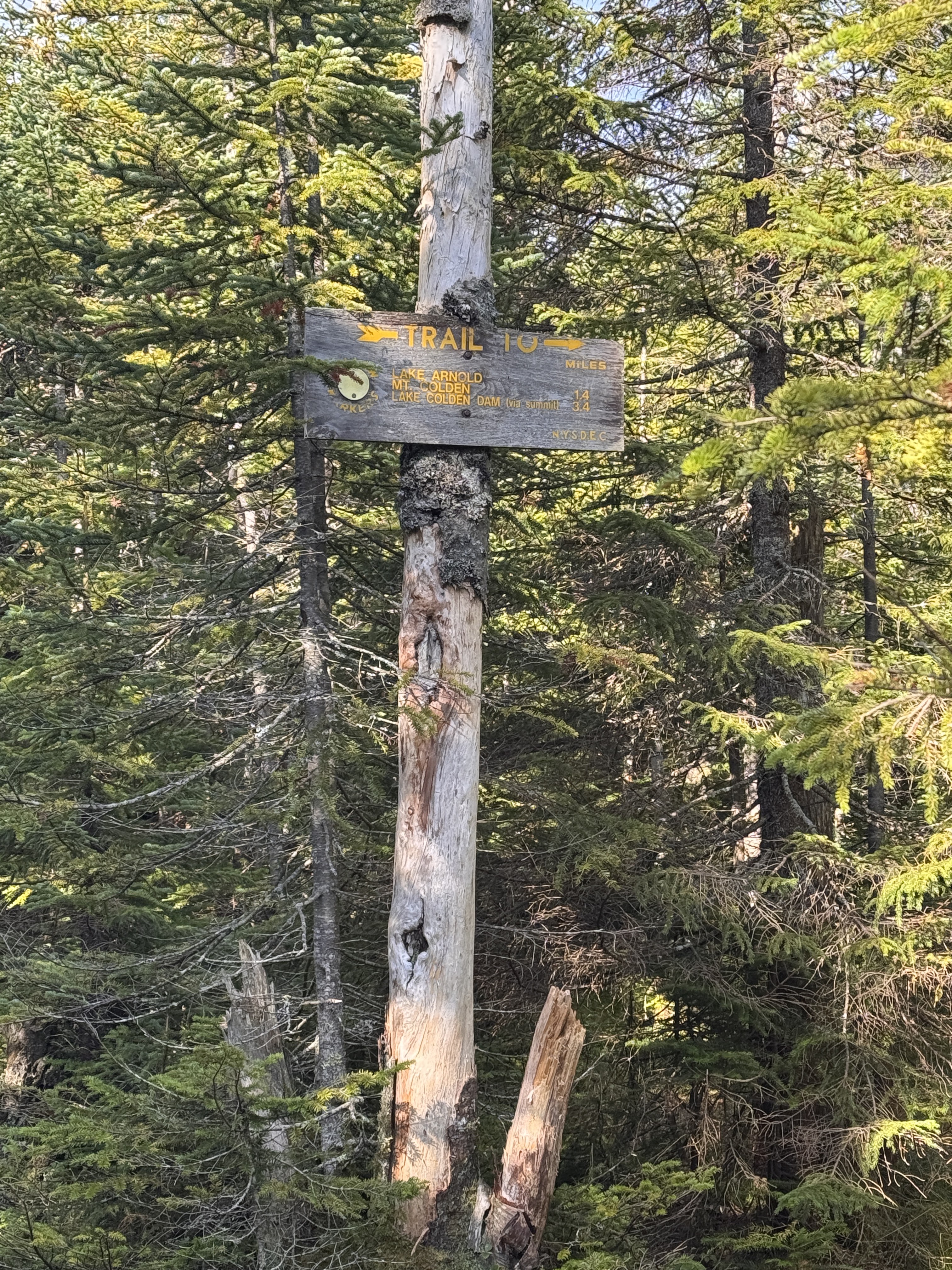
Next up – 1.7 miles of gentle downhill to Feldspar brook. It’s always so demoralizing to lose elevation when I work so hard to gain it, but it is what it is. We would lose roughly 500 feet to get down to the next junction.
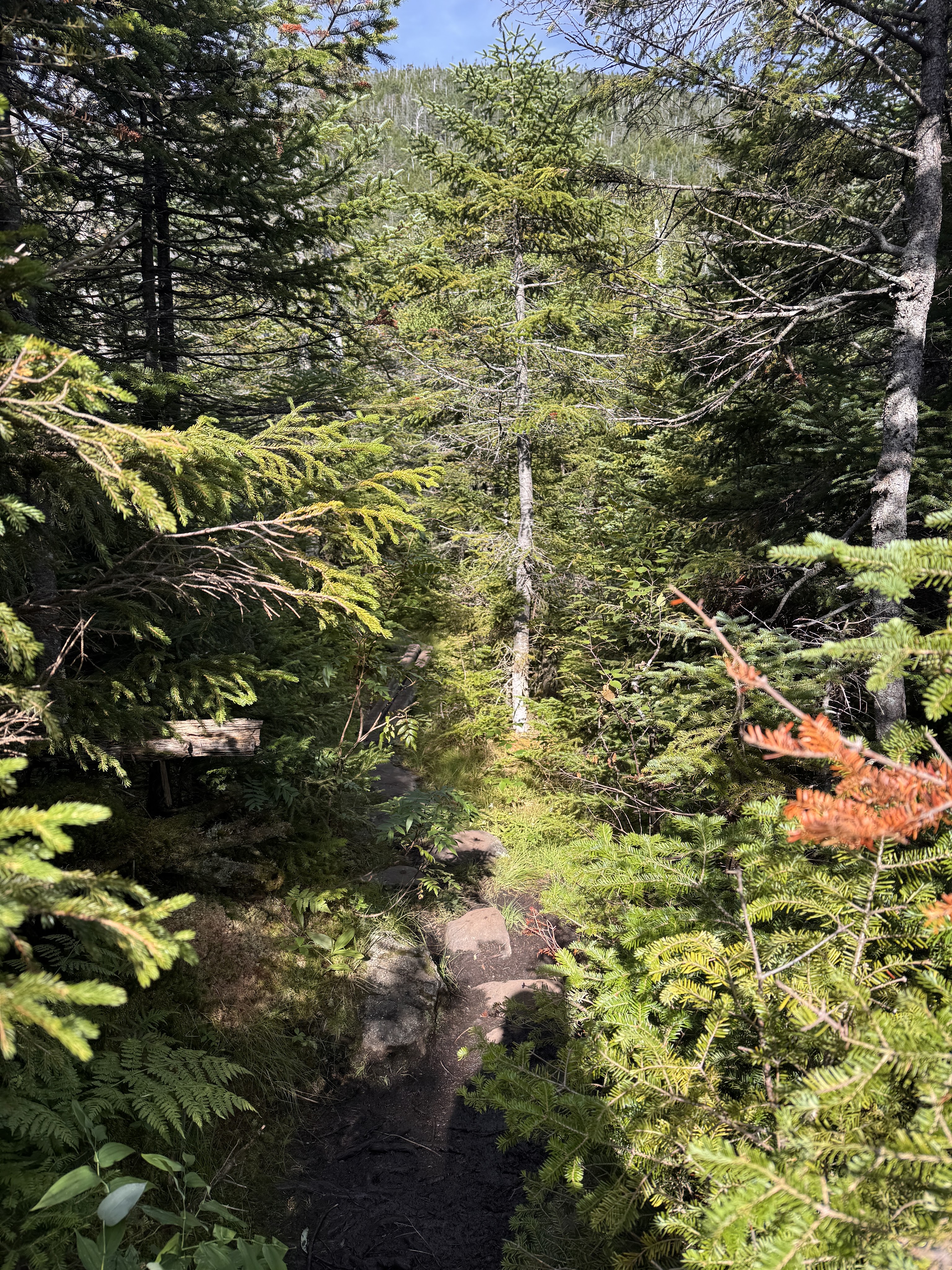
Oh but the moss! THE MOSS!
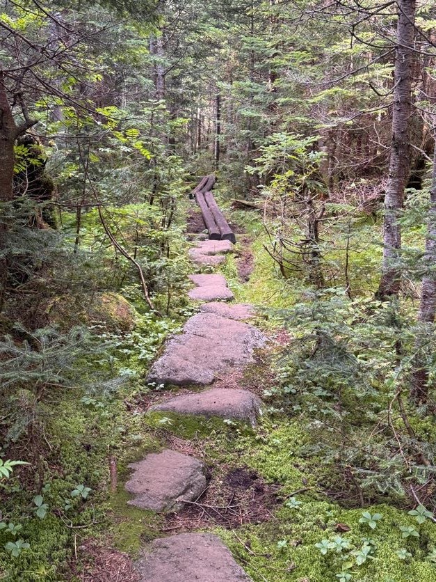
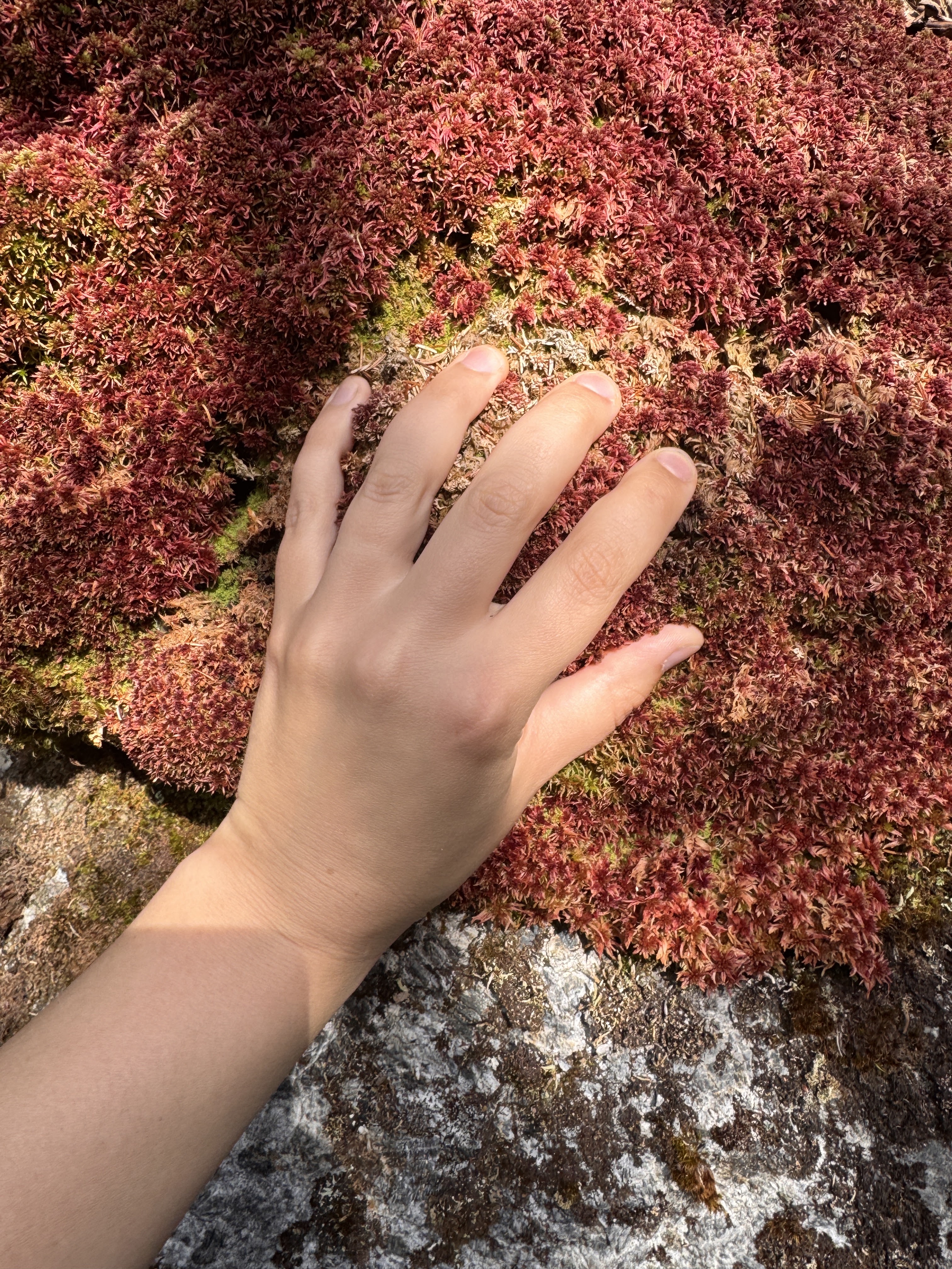
The trail was surrounded by beautiful mosses and mushrooms and loads of pretty little wildflowers. I’ve taken a liking to squishing my hand into the moss and rating it. With the moss on Allen Mountain (26) as a reference for what a 10/10 feels like, this one was a solid 6.
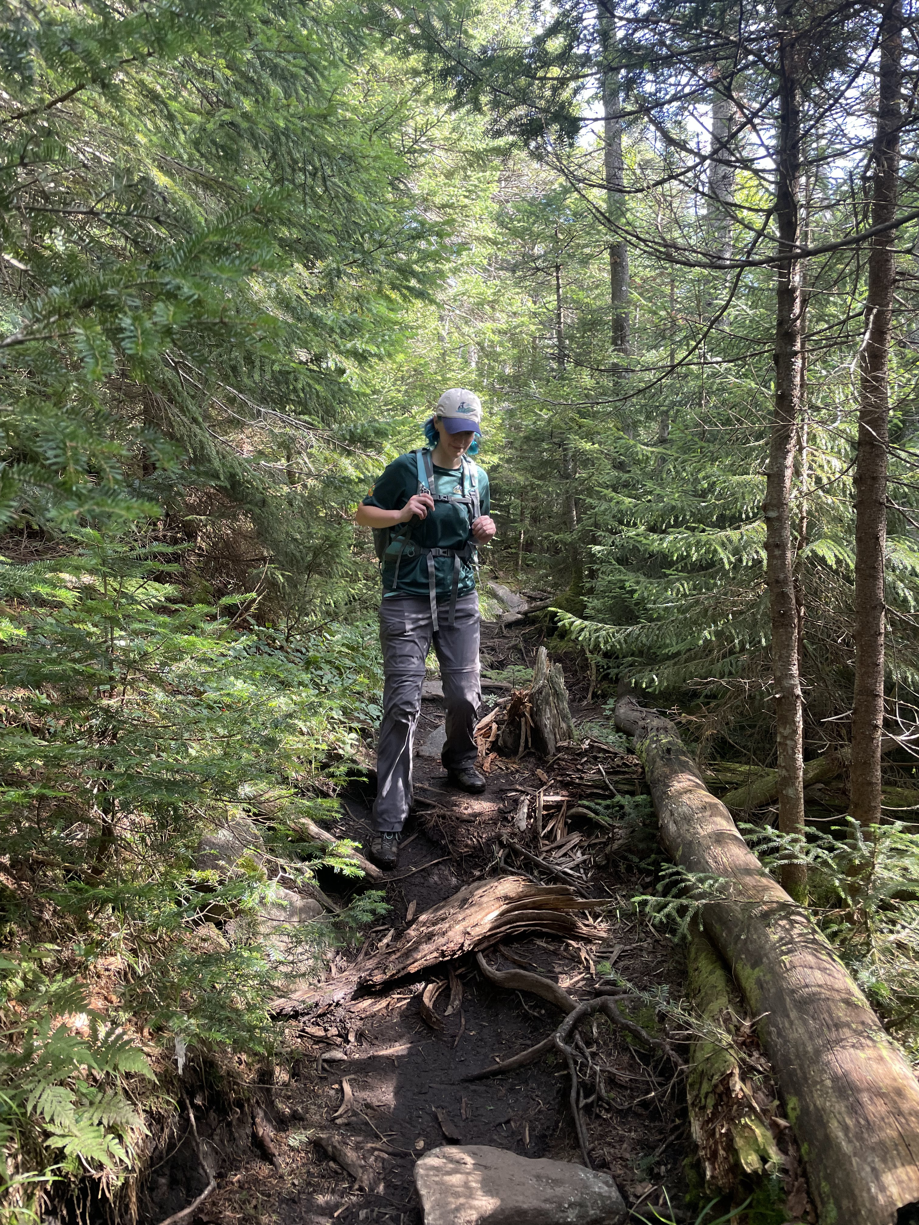

This one wasn’t so squishable but it gets bonus points for coloration – 5/10.
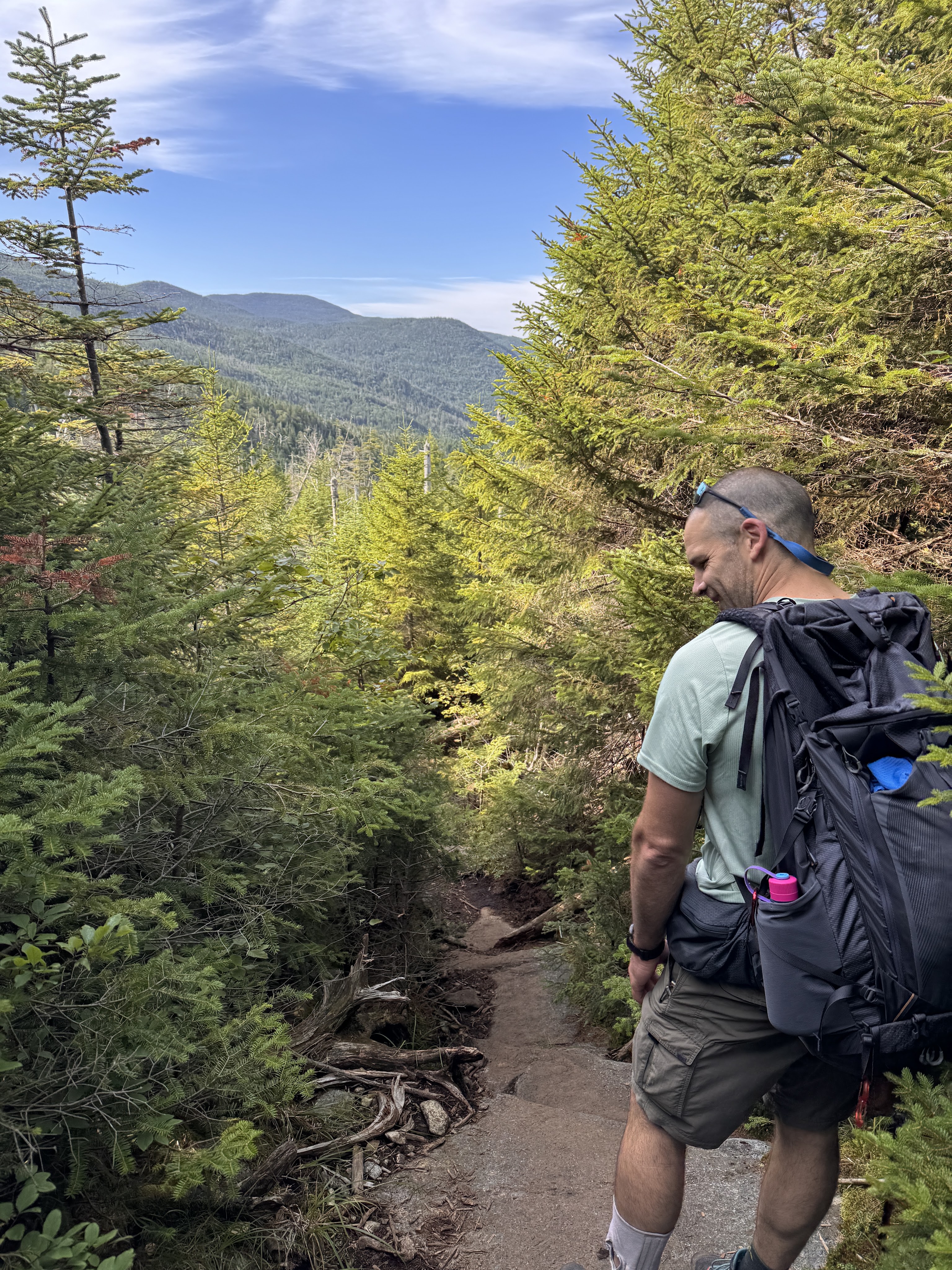
Despite being early in the day, I got princess treatment a few times anyway when Gildo turned to lift me down big drops to help preserve my knees. What a guy.
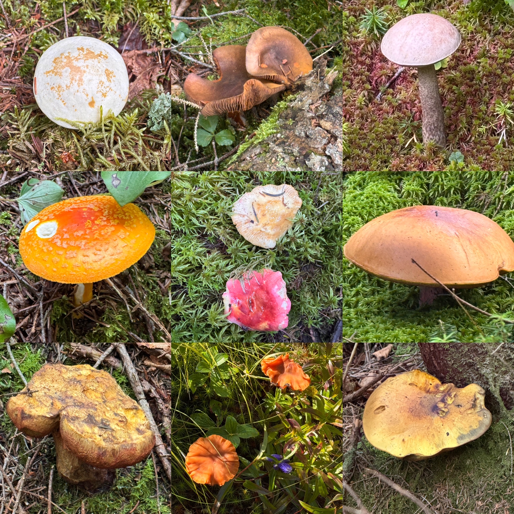
Rather than absolutely drench this report in pictures of mushrooms, here’s a collage of some of the ones we saw throughout the day.
And one of the many pretty flowers.
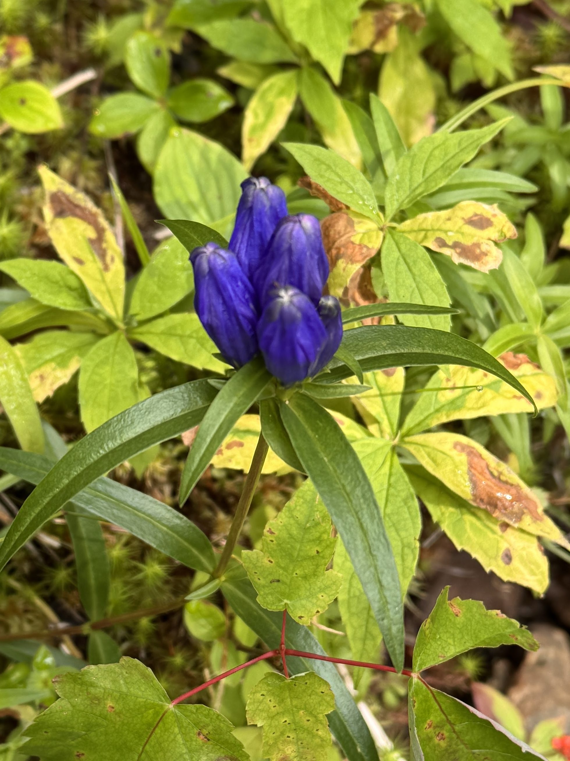
This one had good squish to it – 8/10.

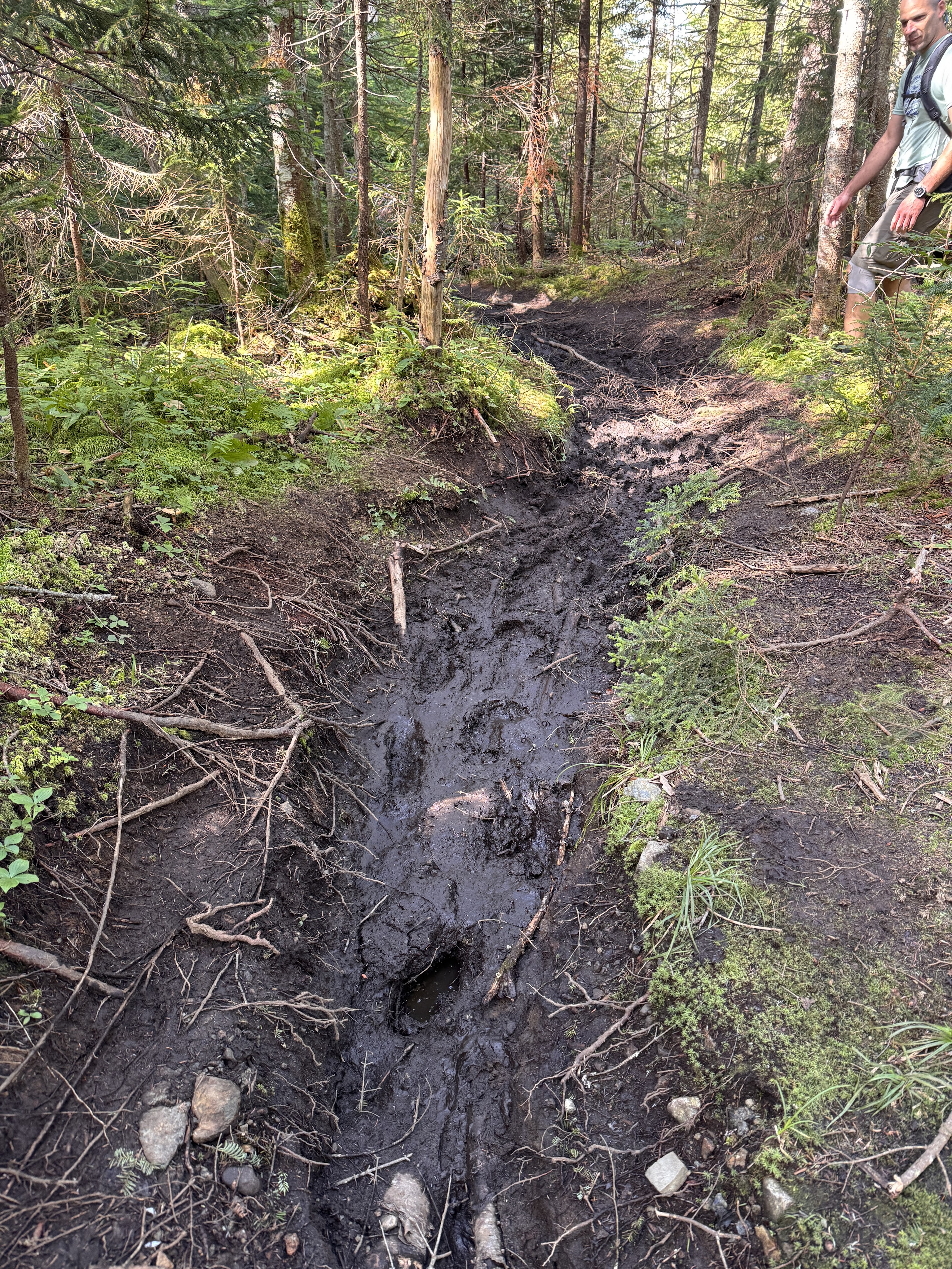
Of course the mushrooms weren’t the only thing that flourished in the rain – the mud was soooo happy. We managed to pick our way through without any major incident though.
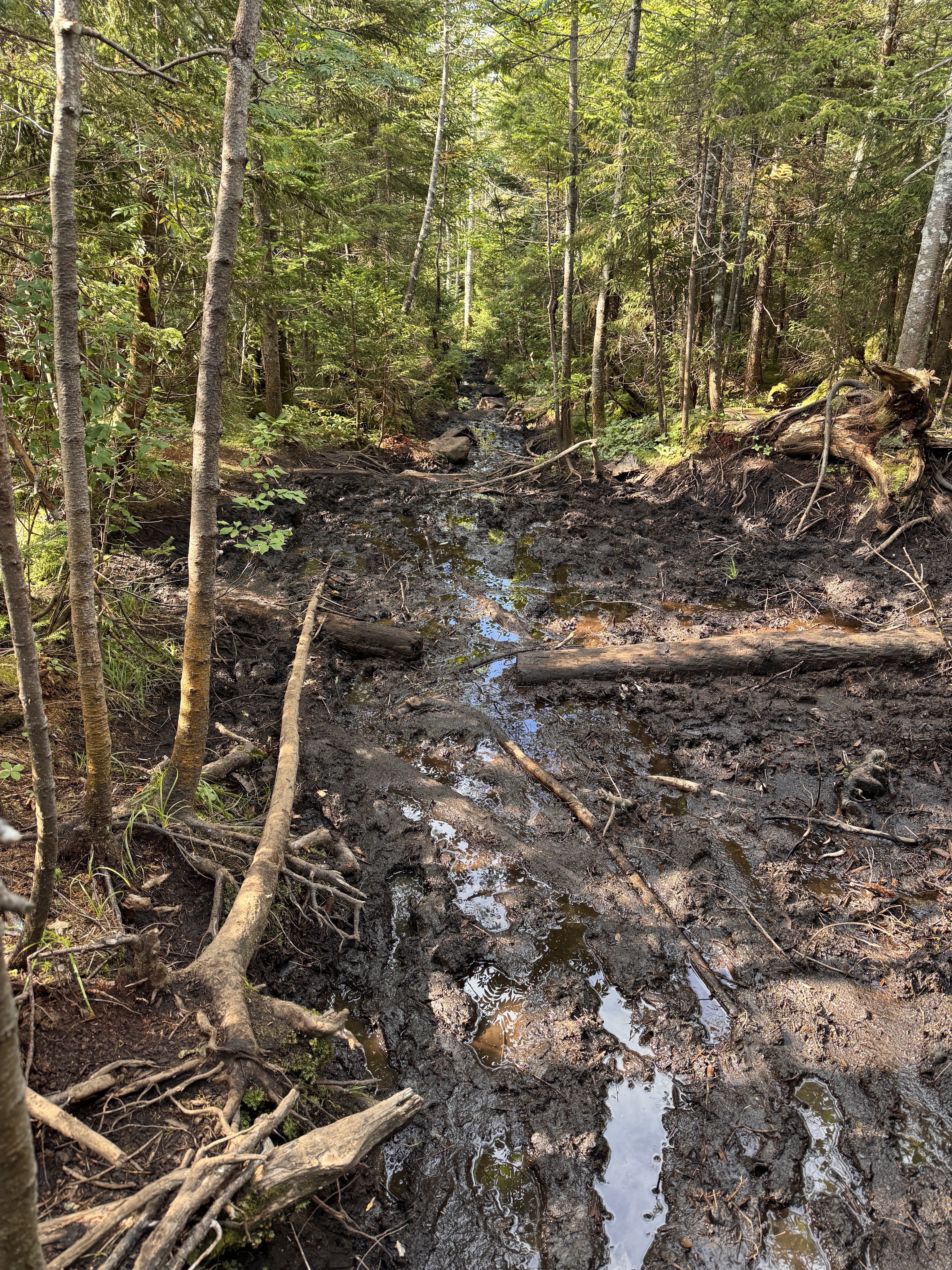
But we saw someone else wasn’t so fortunate!
See Mt Colden looming on the right on the other side of this mostly-dried brook.
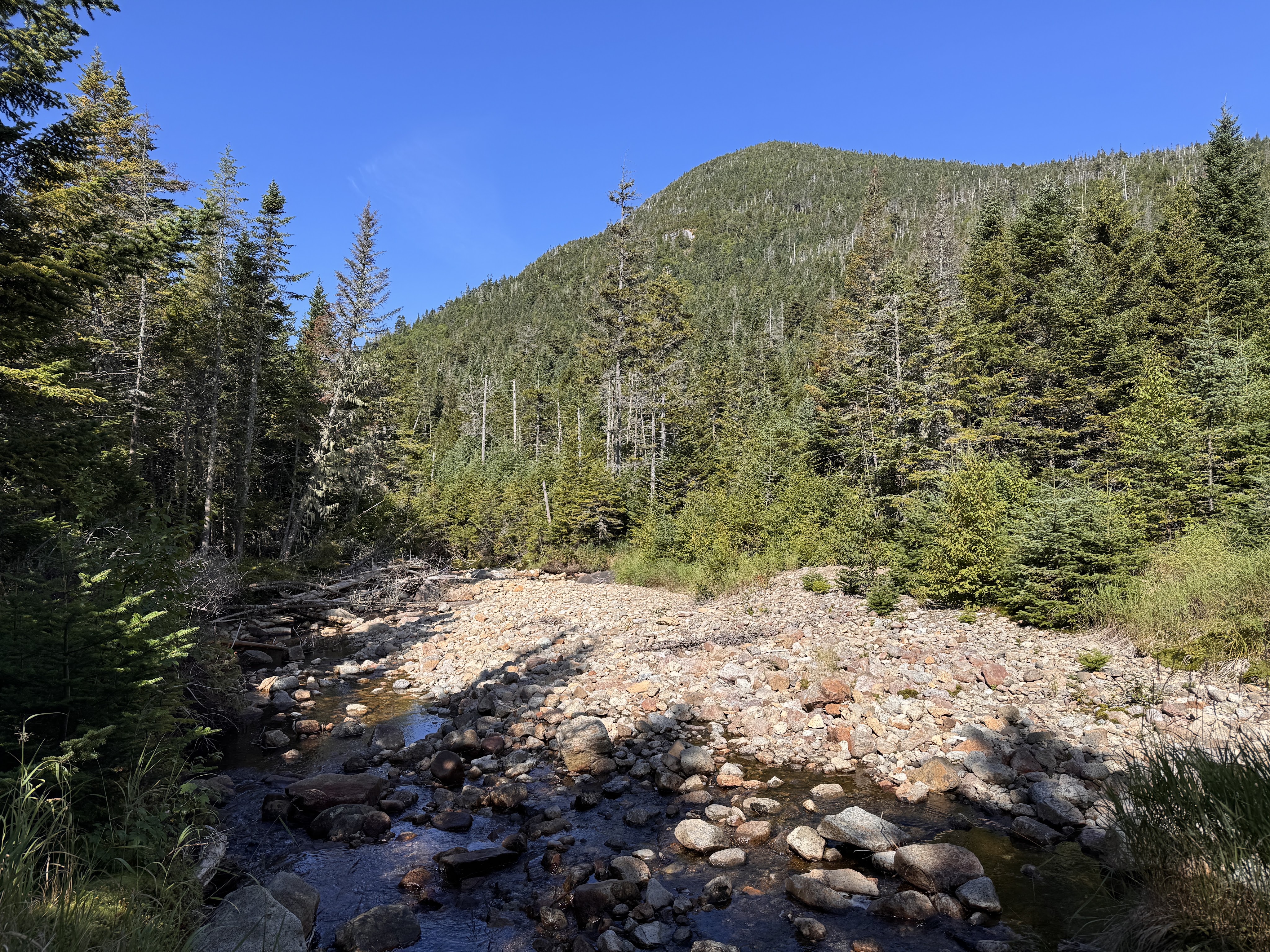
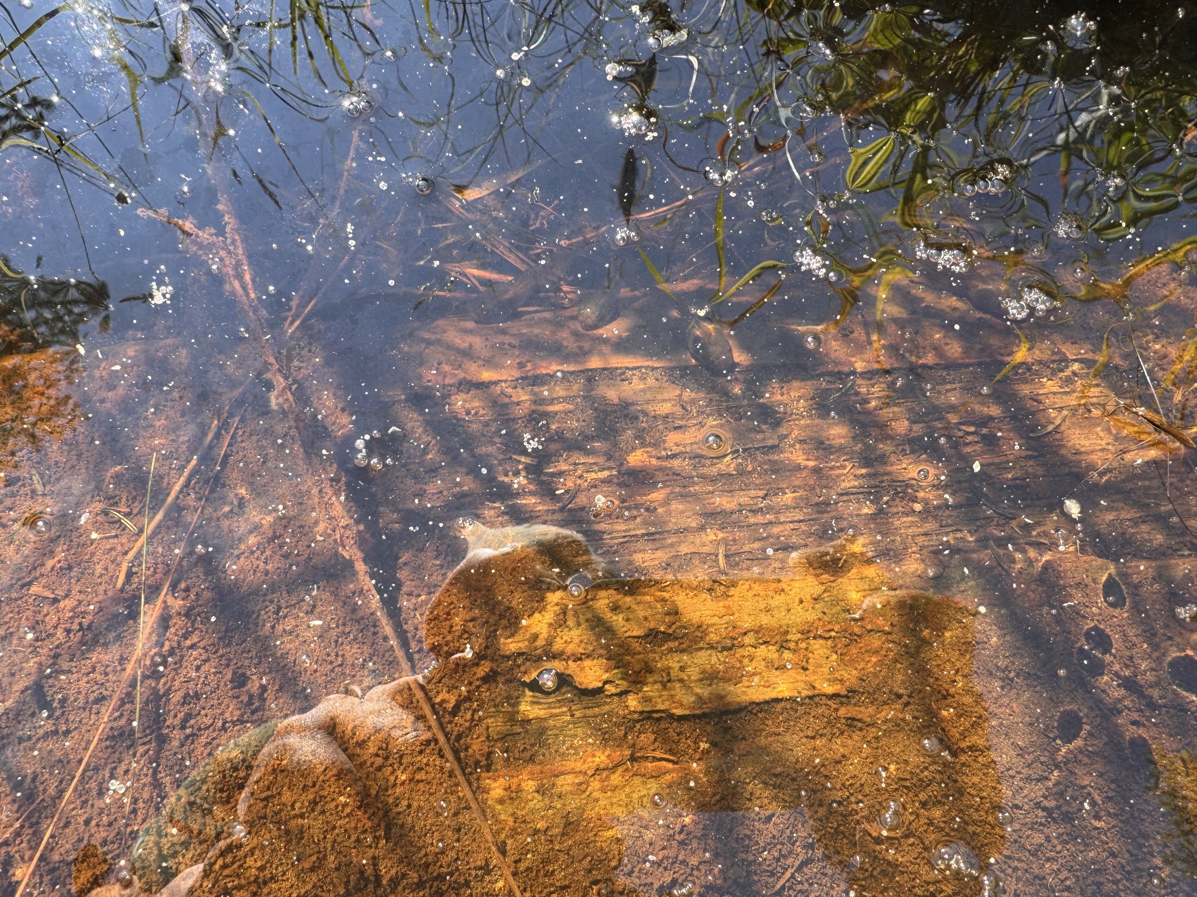
It’s hard to tell but there are a bunch of big tadpoles in the picture below!
Alas, we reached the Feldspar bog and its floating log bridges!
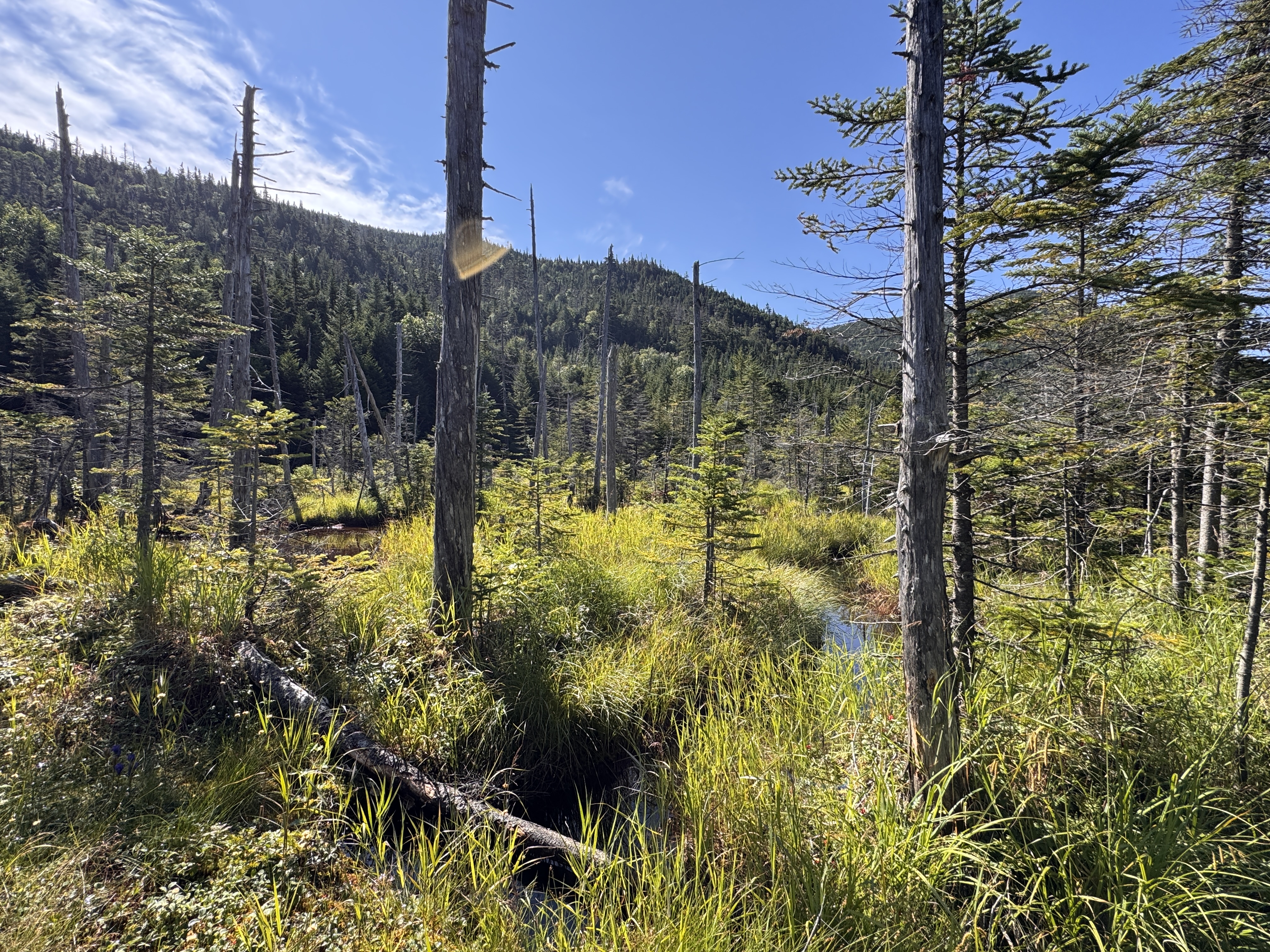
The logs here looked pretty dubious to me. Luckily for us, they were mostly set in place, though they’re known to float about the bog. Gildo tried his luck crossing them, while I crossed a much more stable ‘bridge’ like 20 feet away.
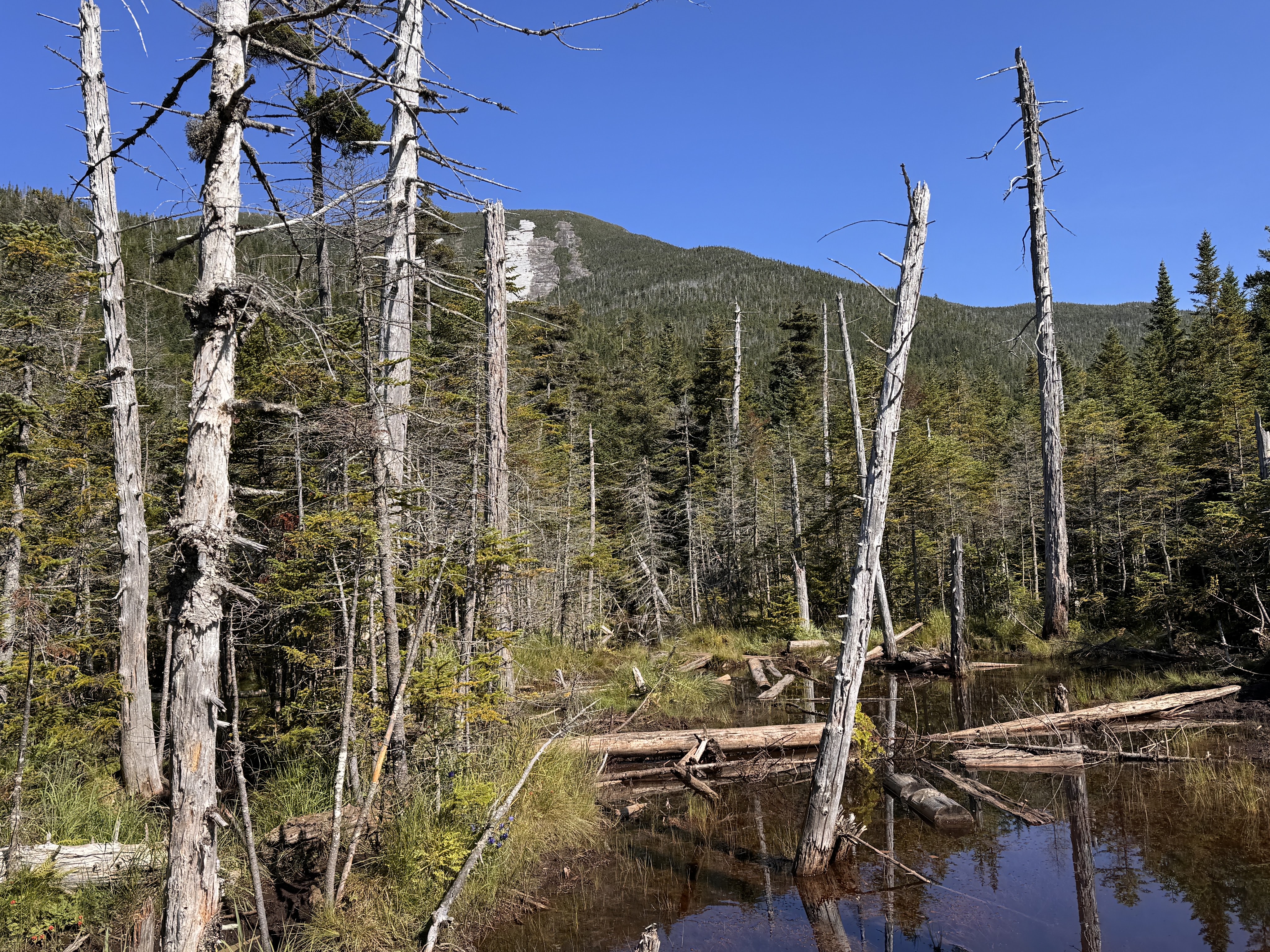
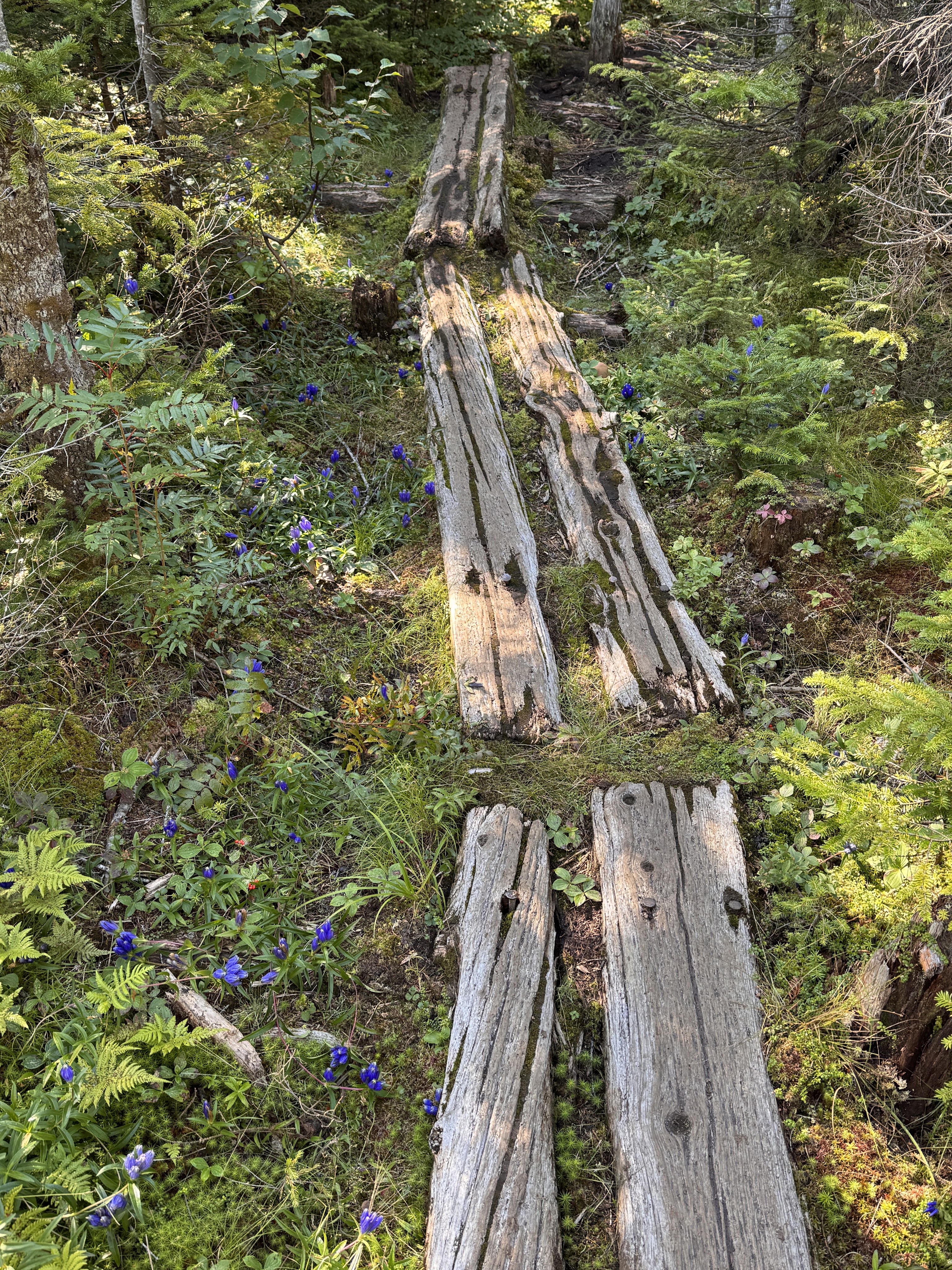

At 10:10 we reached the campsite and the next junction.
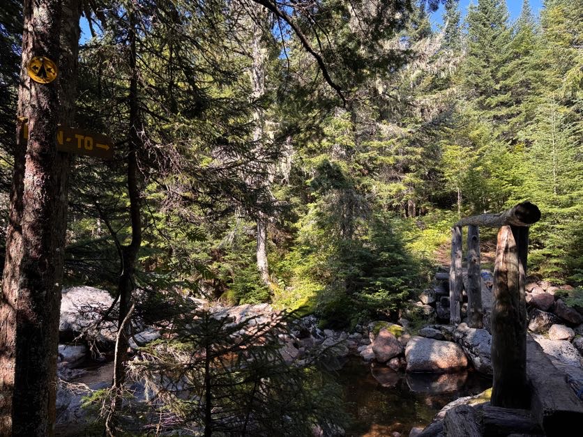

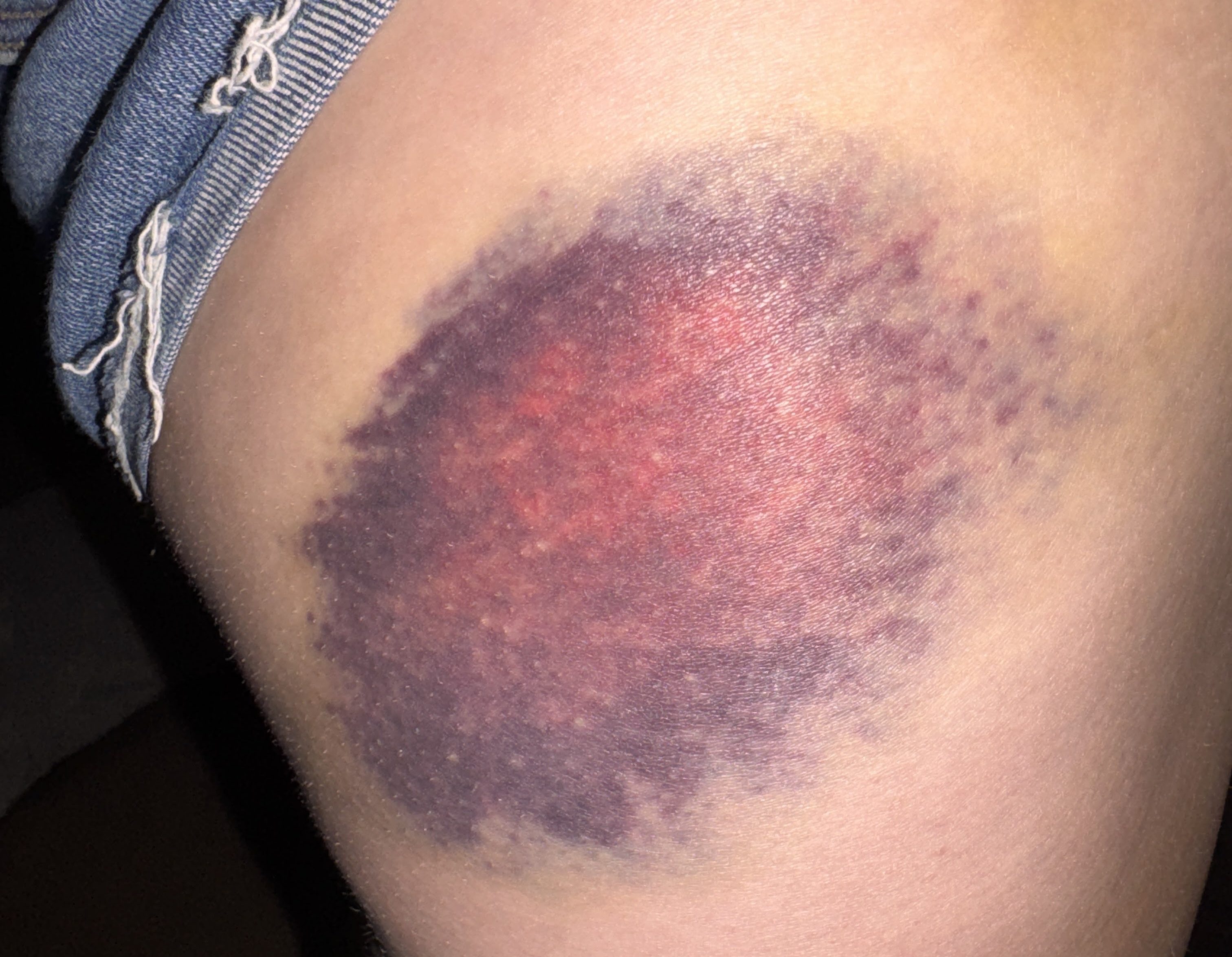
Now just about a mile to go to reach the junction with Gray. I wondered about these stair placed in this particular spot on the trail – why did this spot warrant stairs when no other spot did? Are they there to try to prevent further erosion? I’m not sure, but at some point along this trail I was rudely reminded to not trust rocks when my left foot slipped down a face of one rock, my left foot clambered for purchase but ultimately also slipped off of a rock, and I went down. I hit my hip hard on a jutting rock on the side of the trail and came to rest with my legs splayed out on either side. I knew I’d have one gnarly bruise from this one (receipts at the bottom of this report) but luckily I was more or less fine.
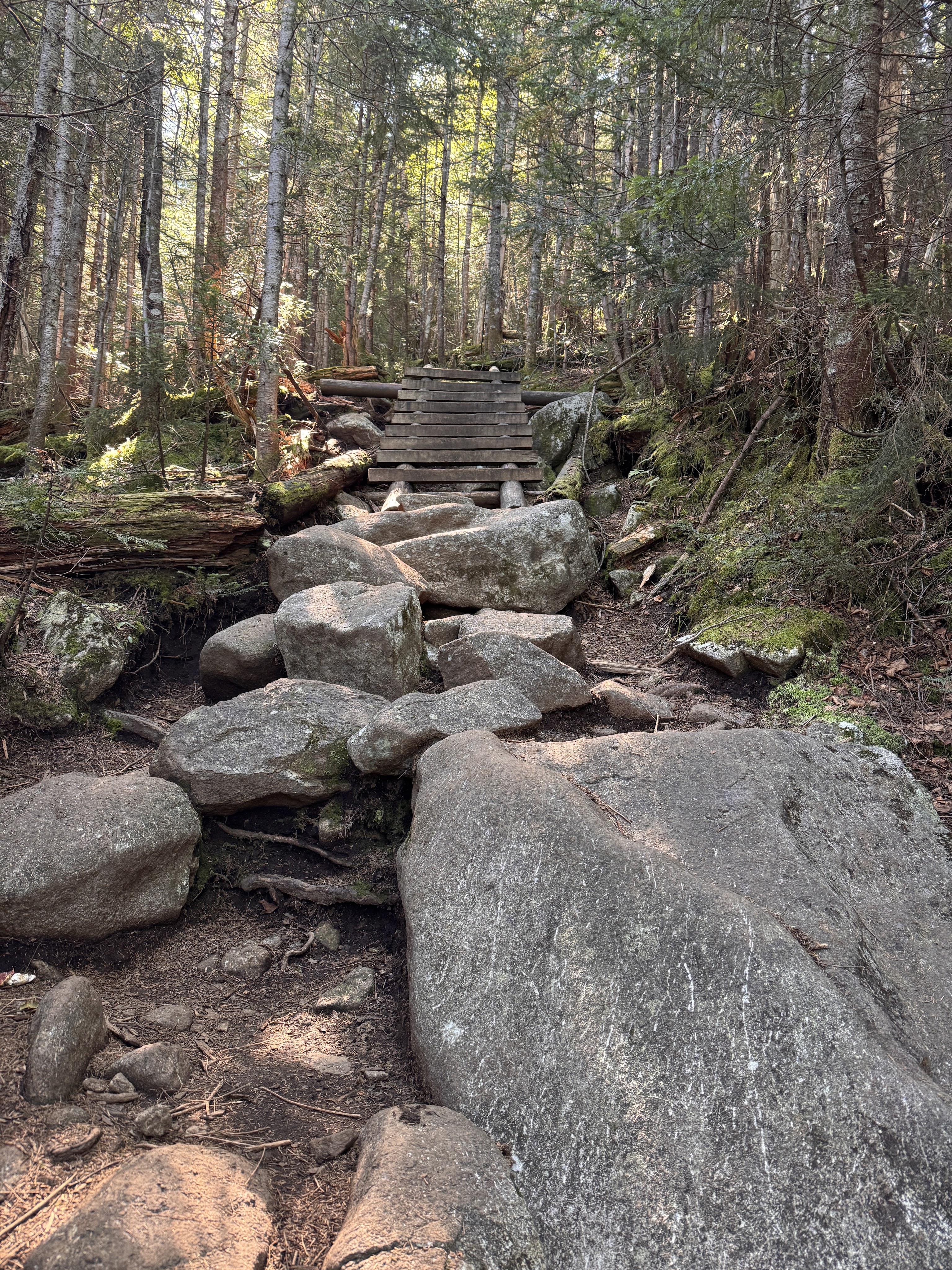
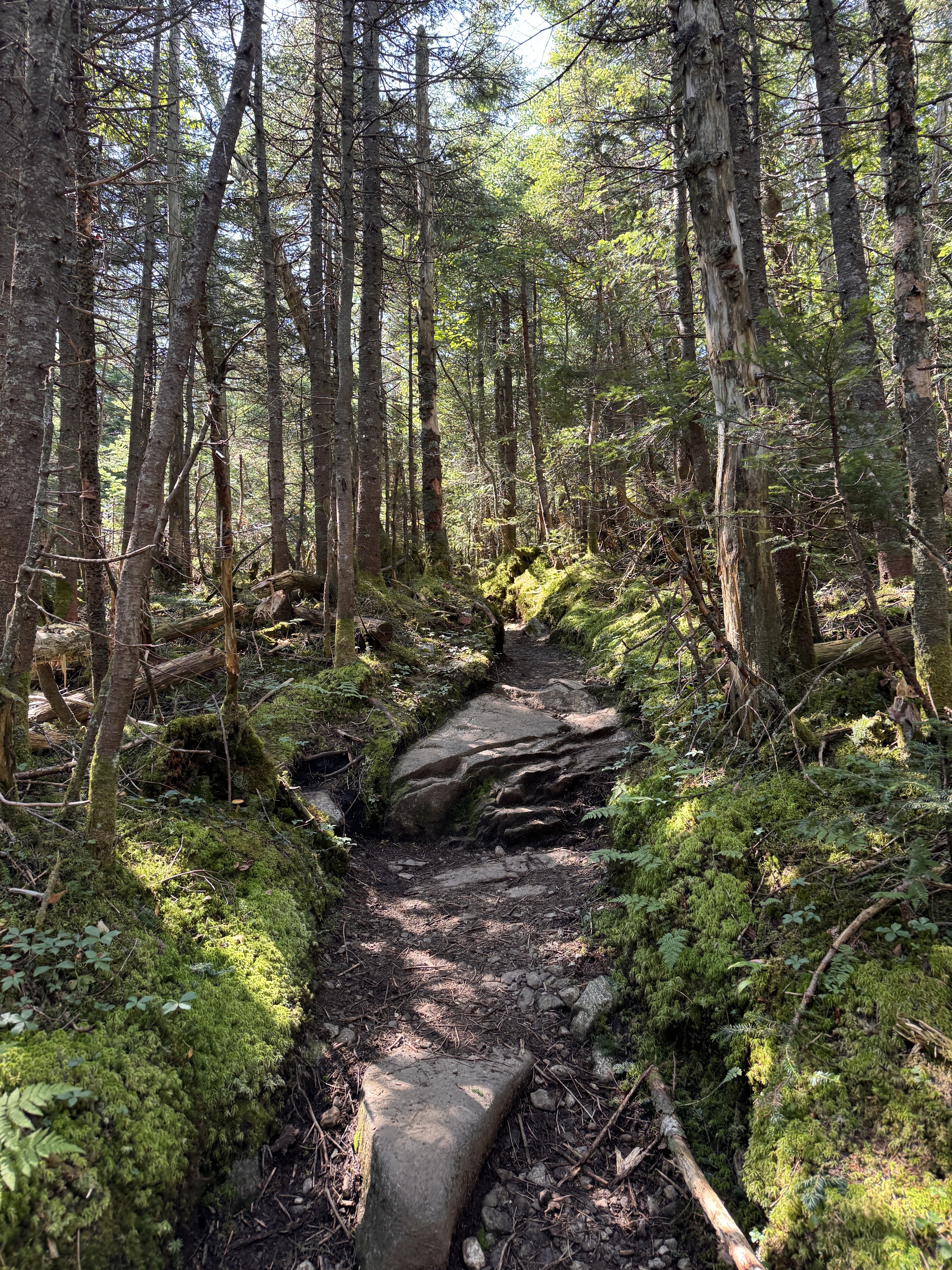
At 11am we reached Lake Tear of the Clouds! I’ve been looking forward to seeing this lake for almost as long as I’ve been on my journey to climb all 46 peaks. This is the highest water source that feeds the Hudson River!
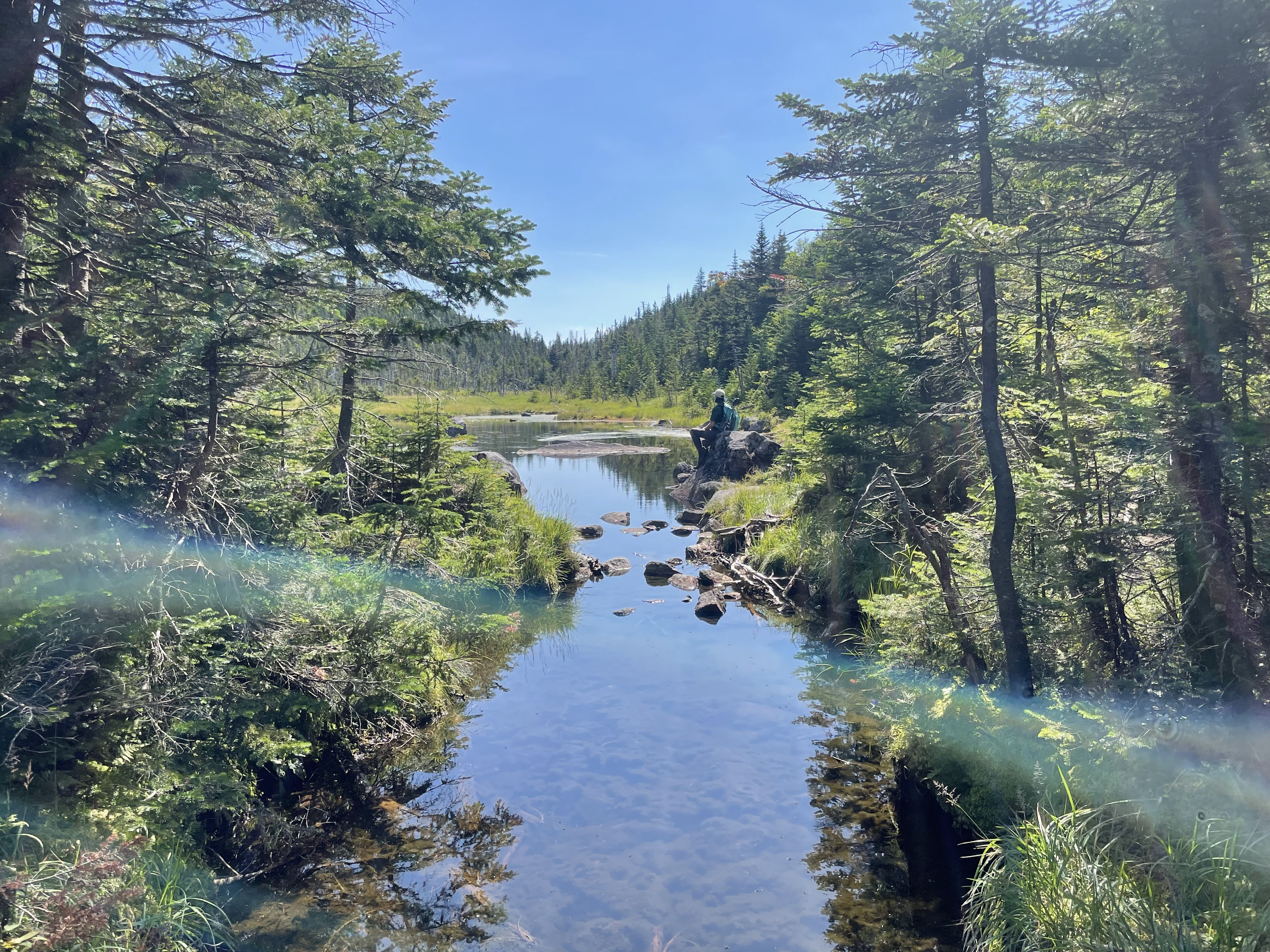
We stopped for just a minute to rest, then crossed the creek just below the lake to make our way up Gray. This is an unmaintained trail and thus doesn’t have any indication of the distance on the map, but it looks to be approximately 0.5 miles to the summit.
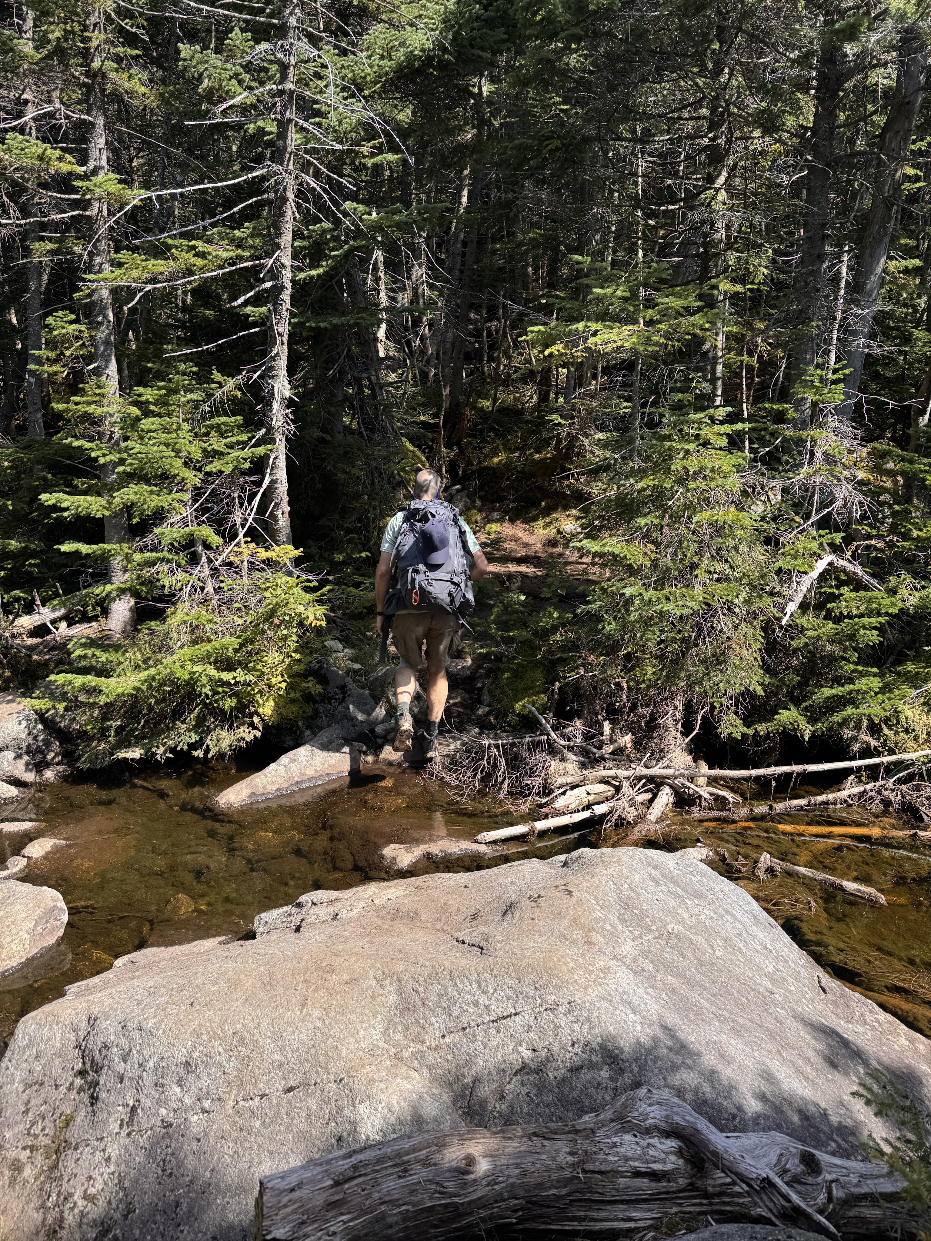
There’s no cairn or sign to indicate when to turn to go up Gray, but there is a fairly obvious opening in the trees on the other side of the creek just before reaching Lake Tear of the Clouds.
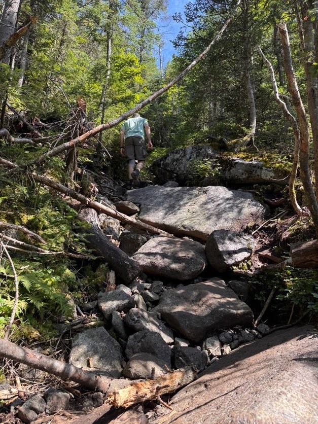
We stashed our bags at the col to make it a little easier to scamper up and down. This trail was expectedly rugged with its steepness, boulders, and bare rock faces, but nothing unmanageable.
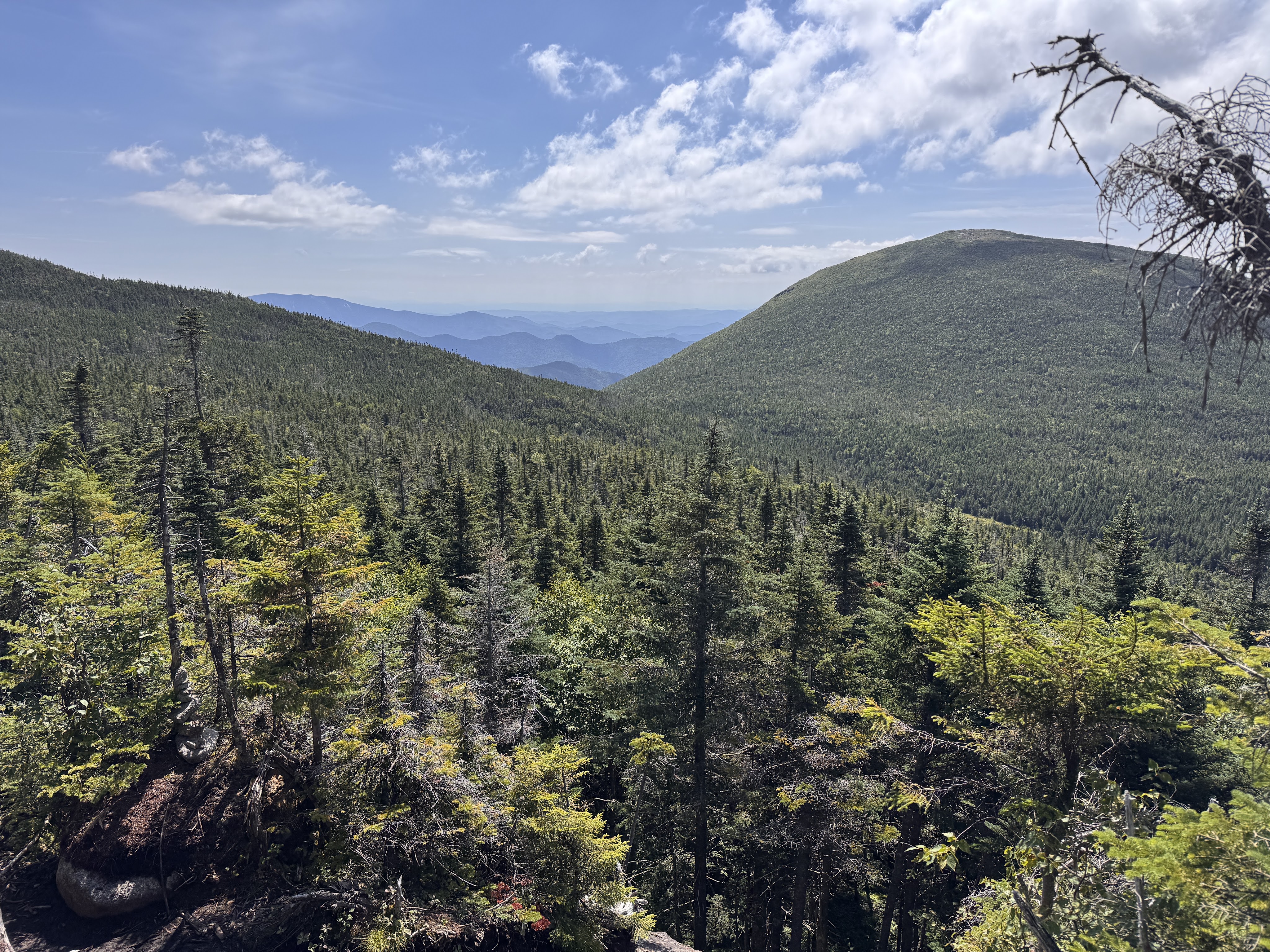
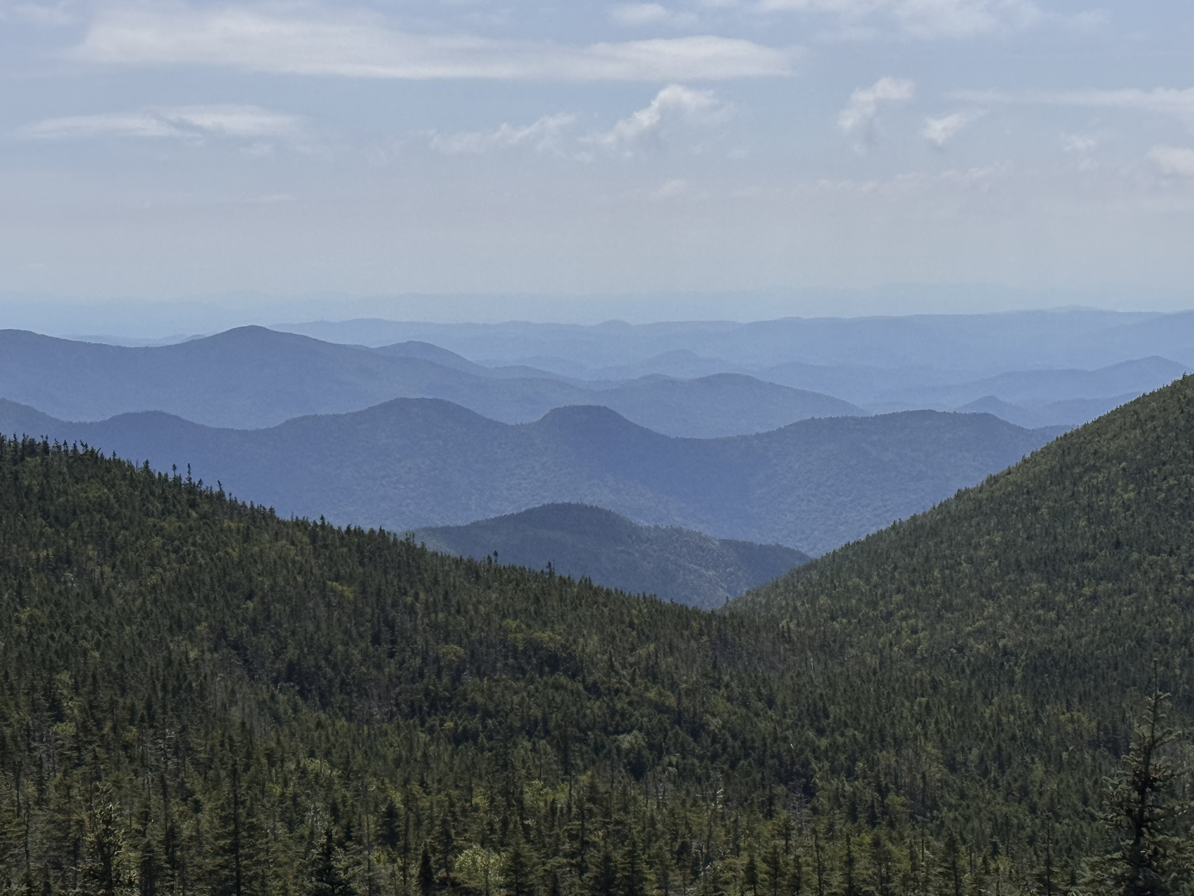
I thought there were no views on the way up Gray and was so pleasantly surprised by the ones we had! Though it was intimidating to look back down at Lake Tear and see Skylight looming behind it.
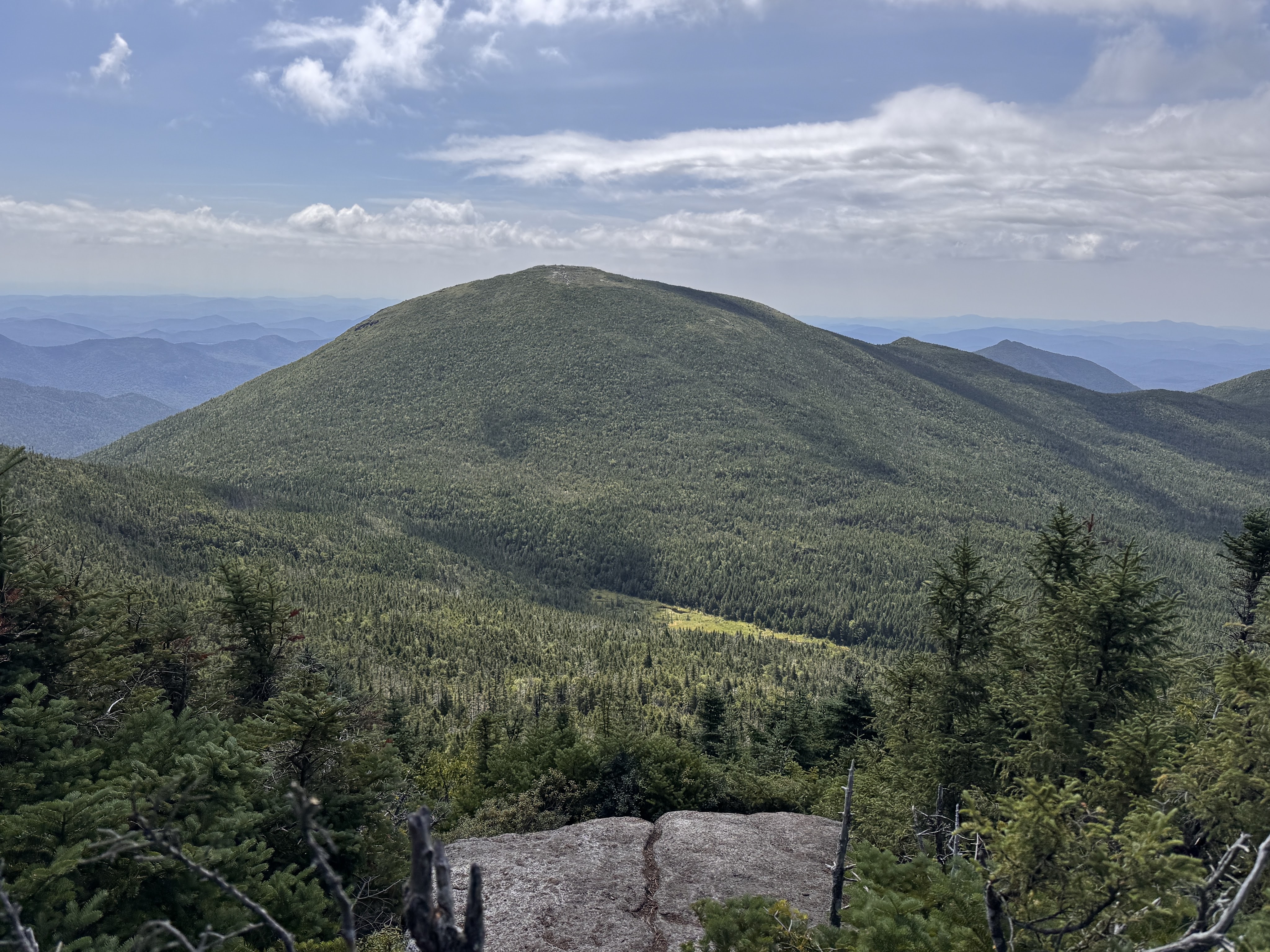
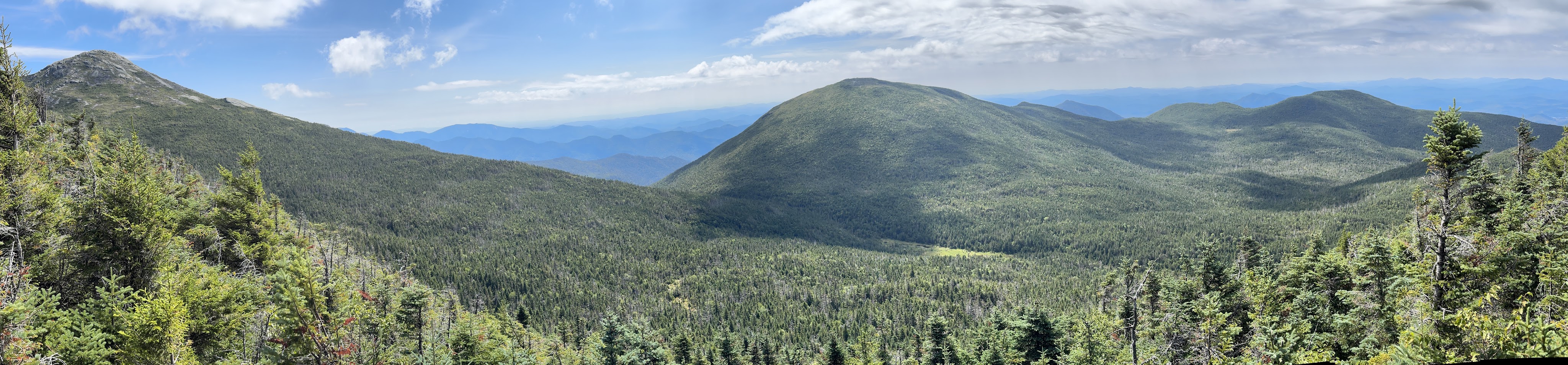
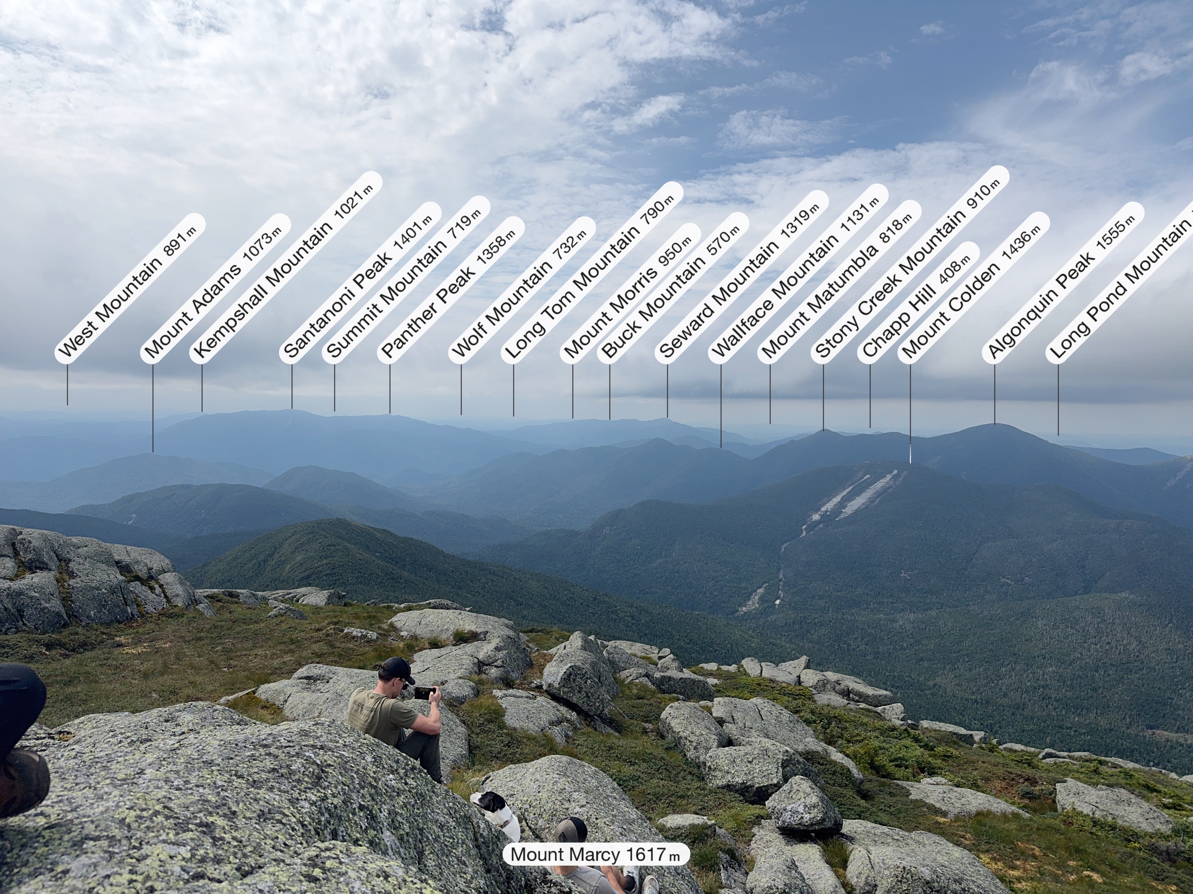
Even more intimidating was Marcy, on the left of the panorama below.
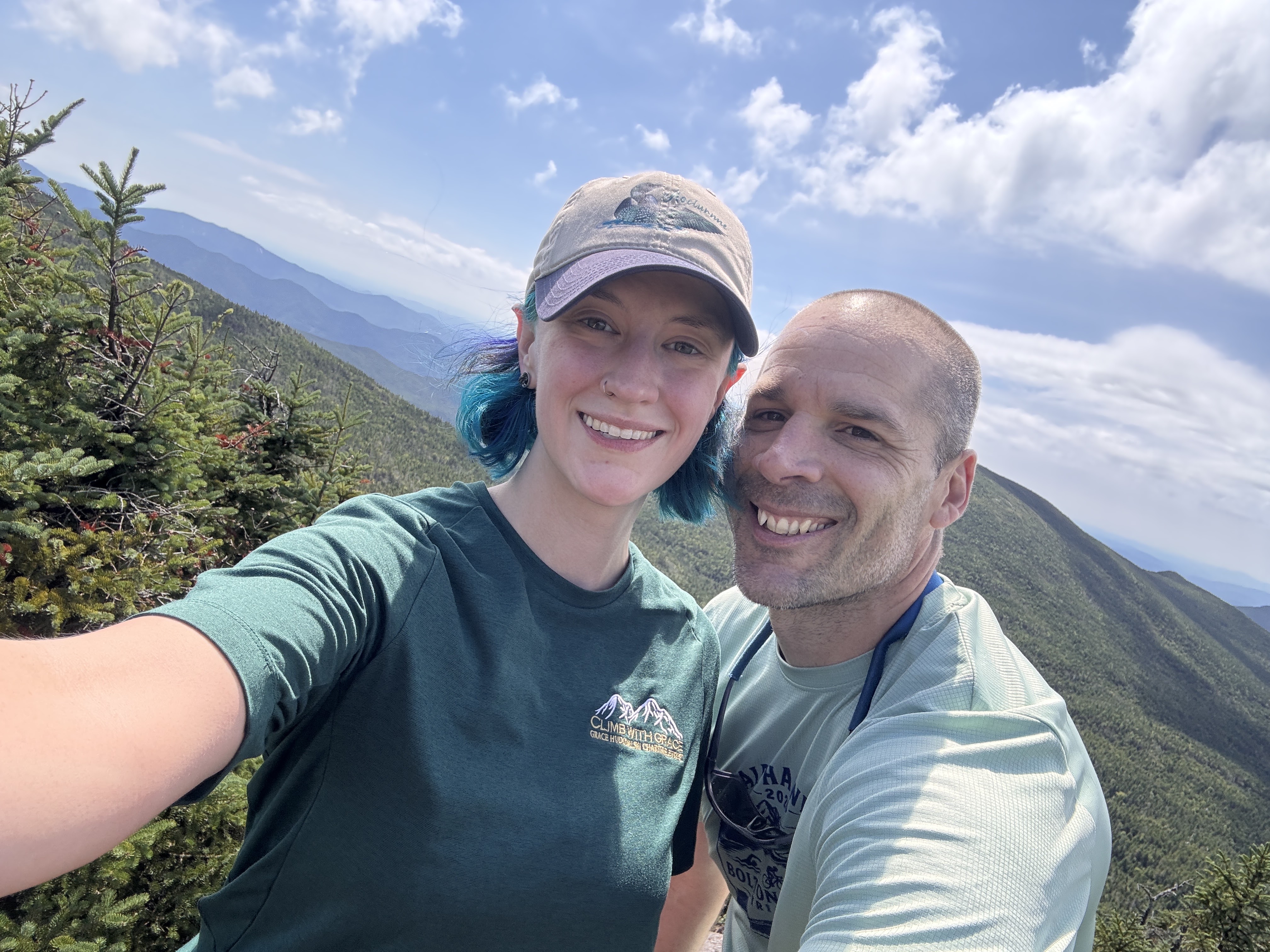
We reached the summit 25 minutes after leaving the col, at 11:40am.
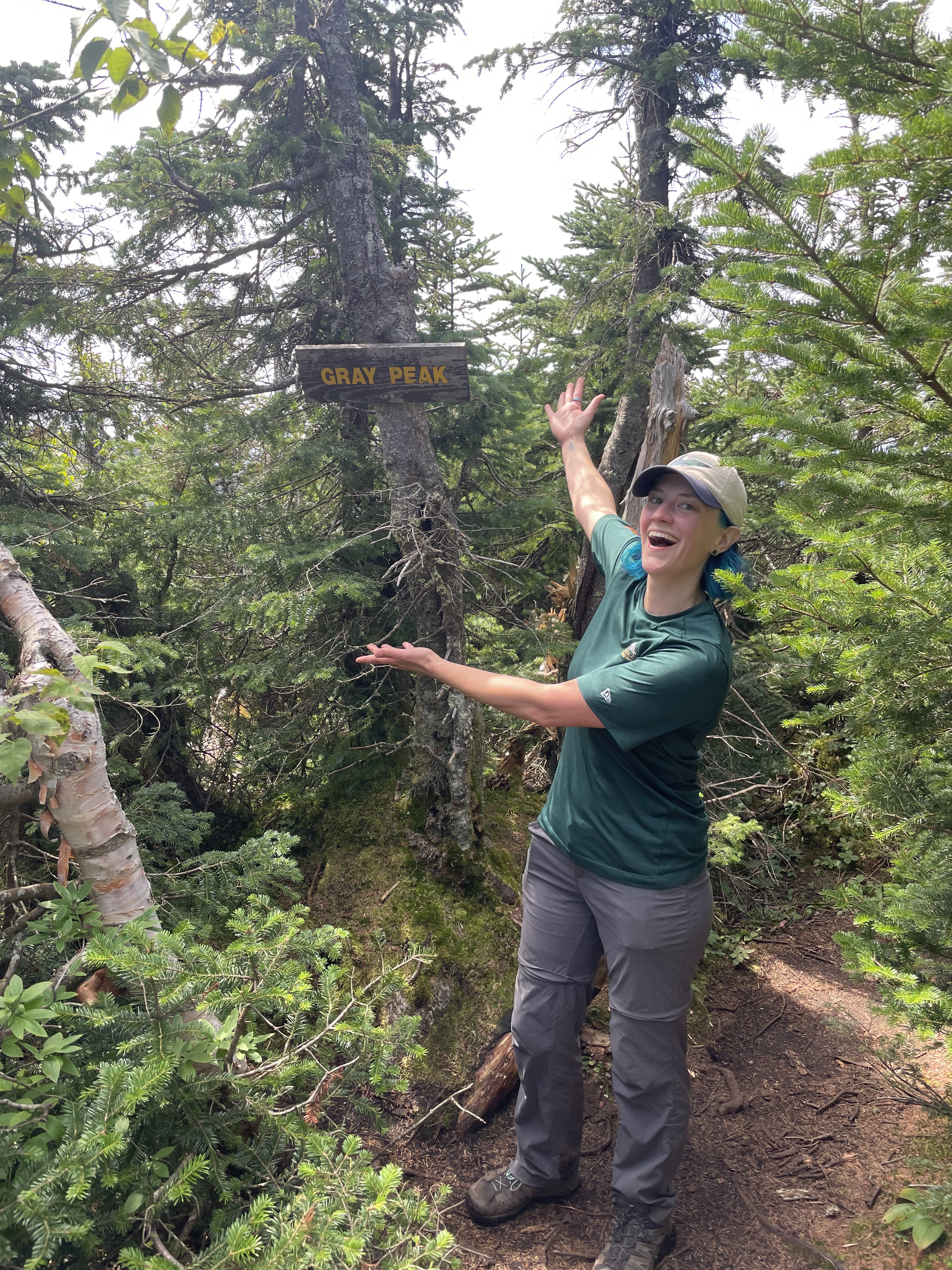
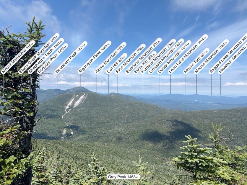
We stuck around just long enough to snap a few pictures (the one below courtesy of my Peakfinder app) and locate the summit marker. The true summit of Gray is wooded, but it does currently have a sign!
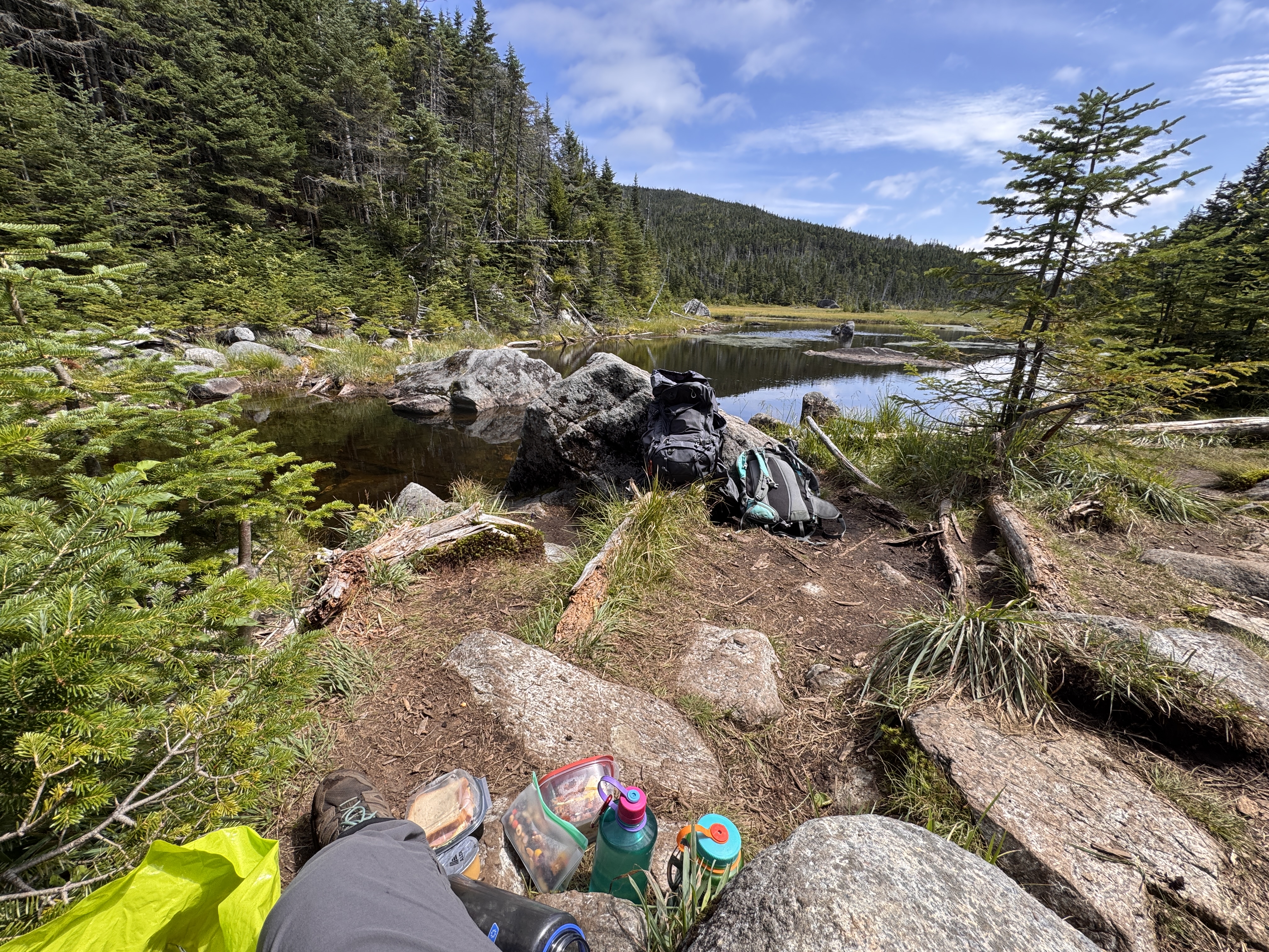
We wasted no time in scampering right back down and once again reached Lake Tear 25 minutes later, at 12:10. This was our first real break of the day. We sat for 20 minutes to filter water and have some lunch before setting our sights on Skylight.
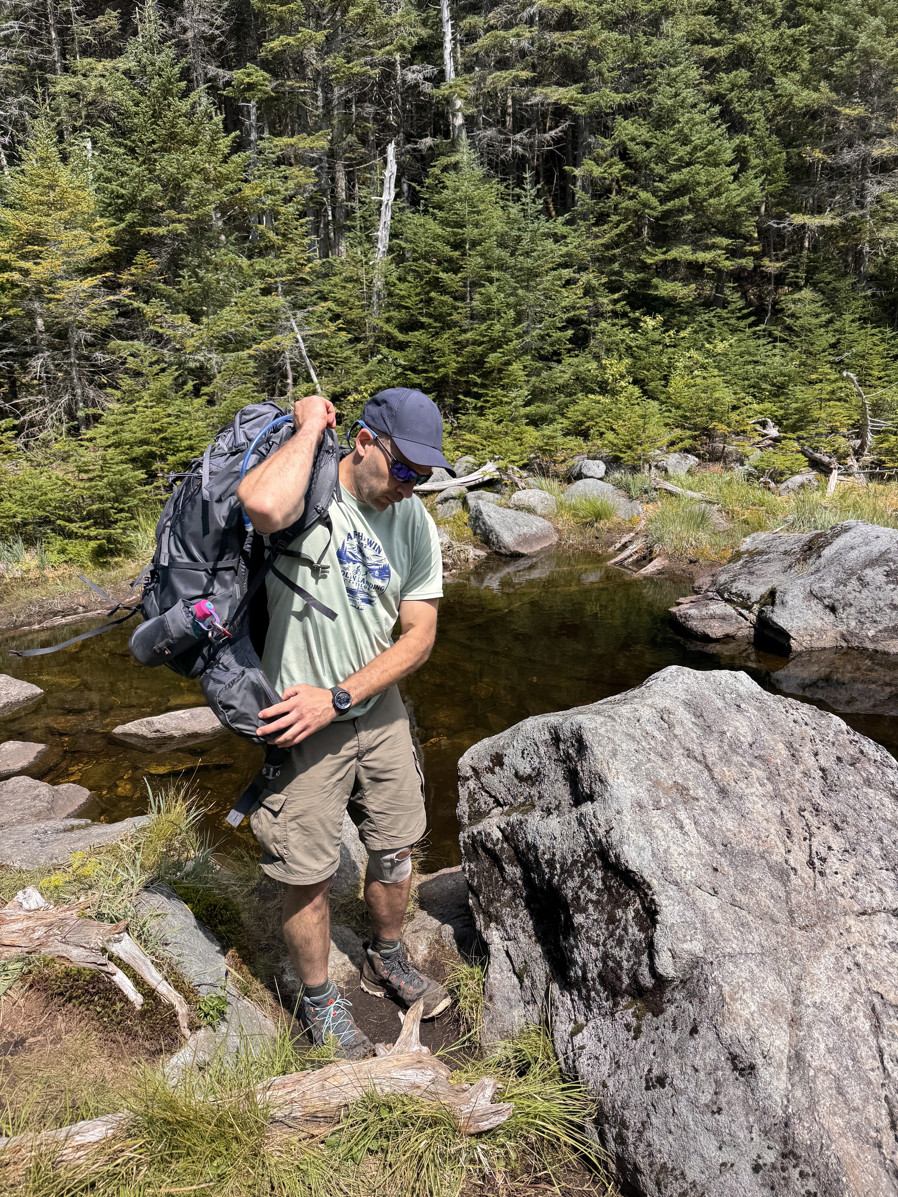
Gildo wanted so badly to take his shoes off an put his feet in the water. It did sound nice but the thought of putting my crusty stinky socks and shoes back on my feet was almost unbearable. At 12:35, we took our leave.
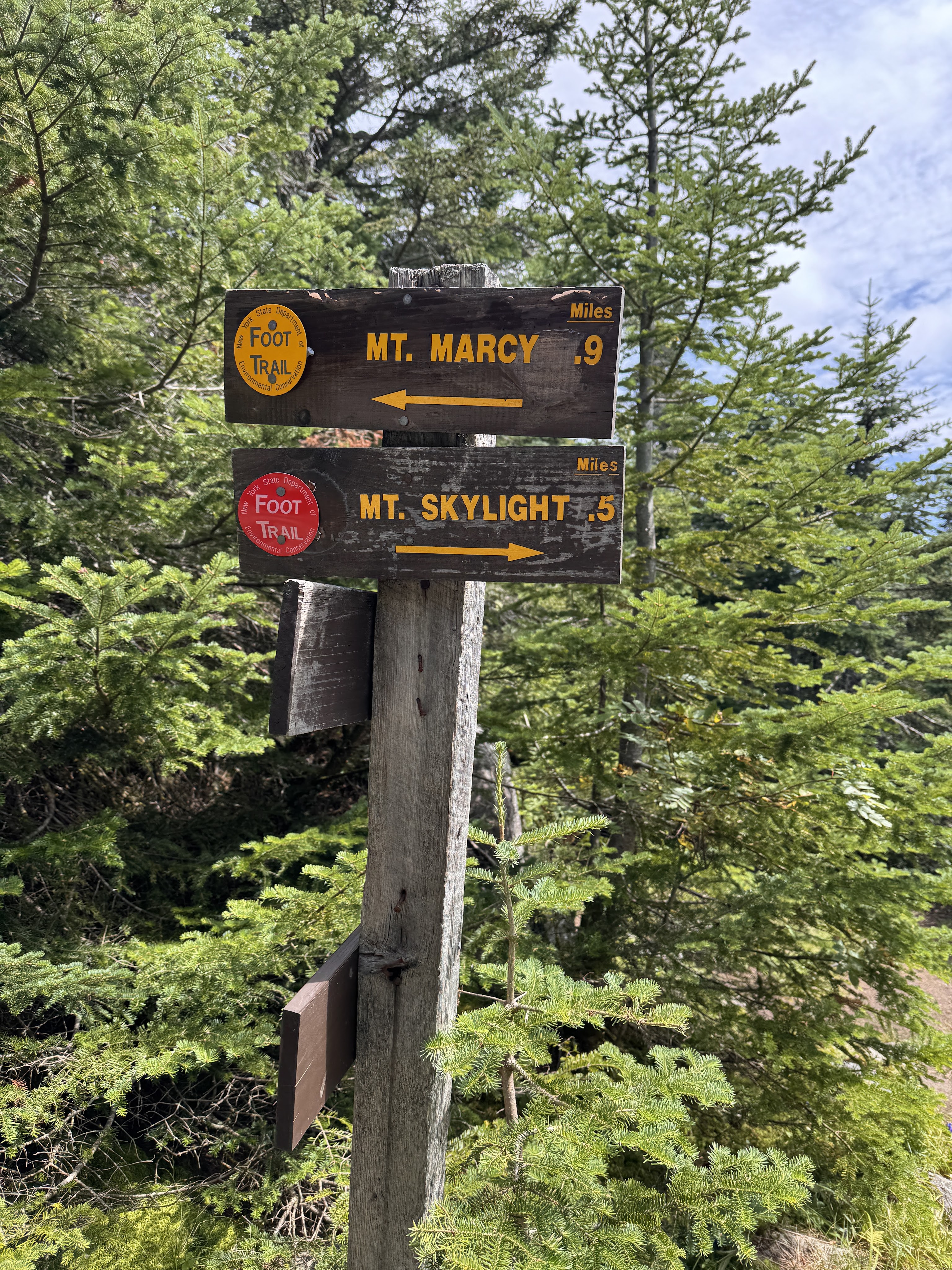
10 minutes later we reached the junction to Marcy and Skylight, and hung to the right. Just half a mile to go!
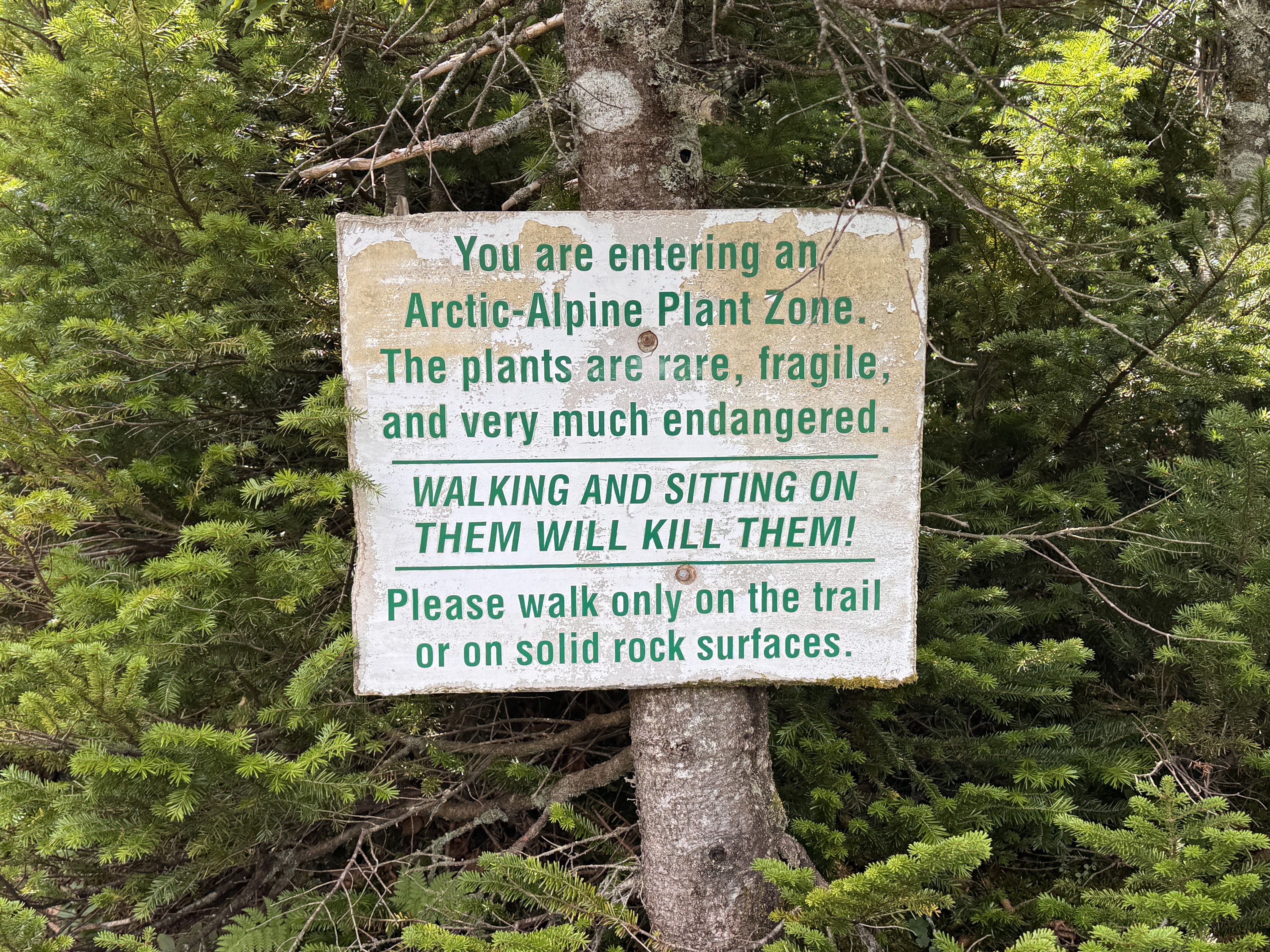
I was starting to have some trouble with my left hip on the way up by this point, and actively dug my thumb into one of my hip flexors to keep it in place while I walked. 15 minutes of climbing later, things were looking promising as we reached the Arctic-Alpine plant zone. Almost there!
We emerged from the trees and wound our way up the bald cap of Skylight.
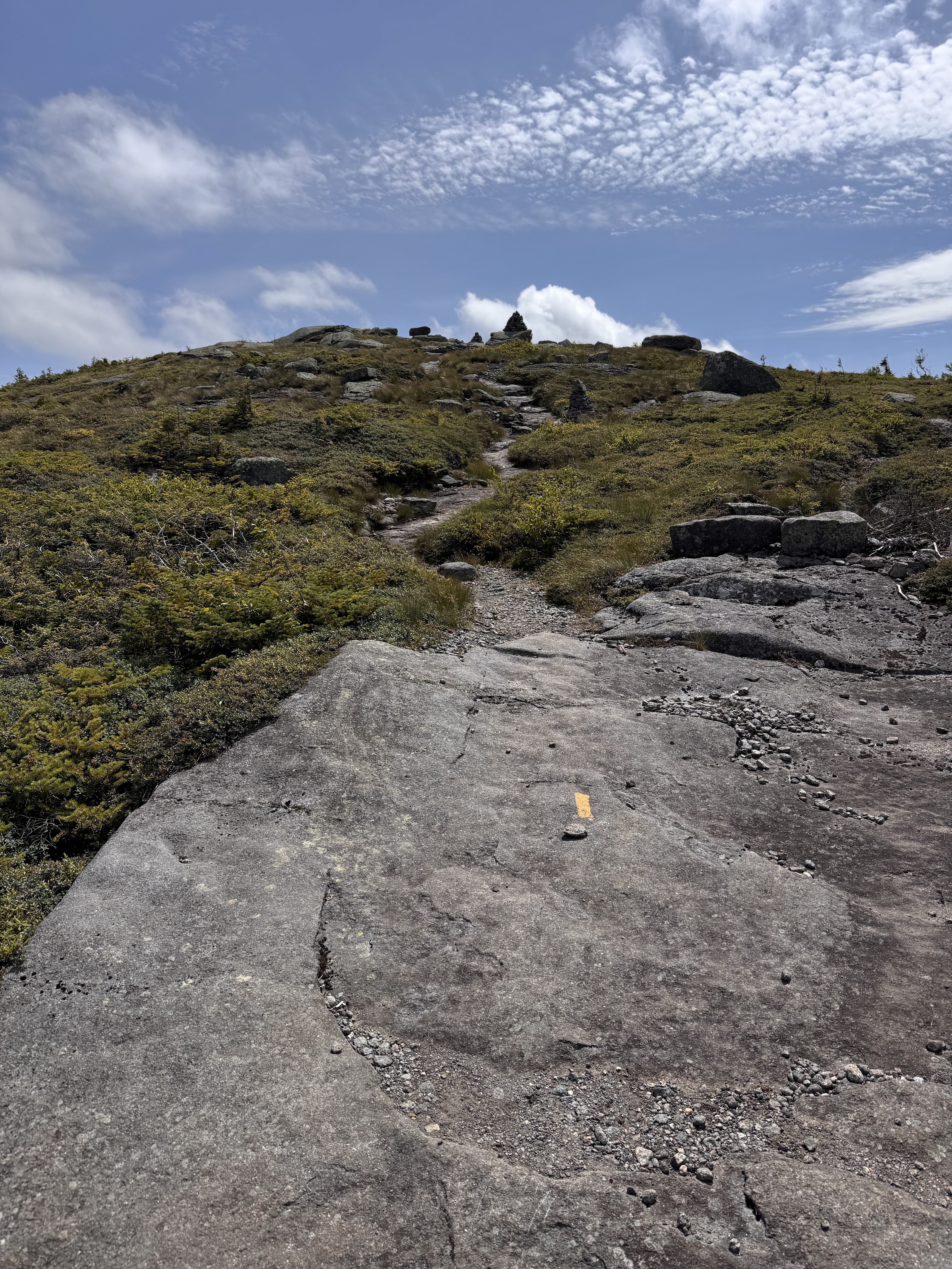
At 1:08pm, we reached the summit and turned around to see Marcy staring us down.
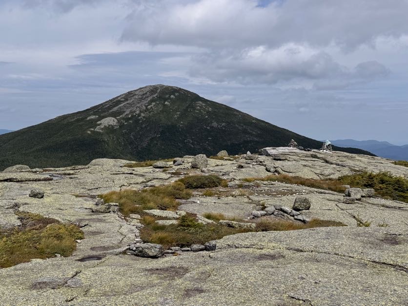
And watched a little plane perform some spins as it circled Marcy!
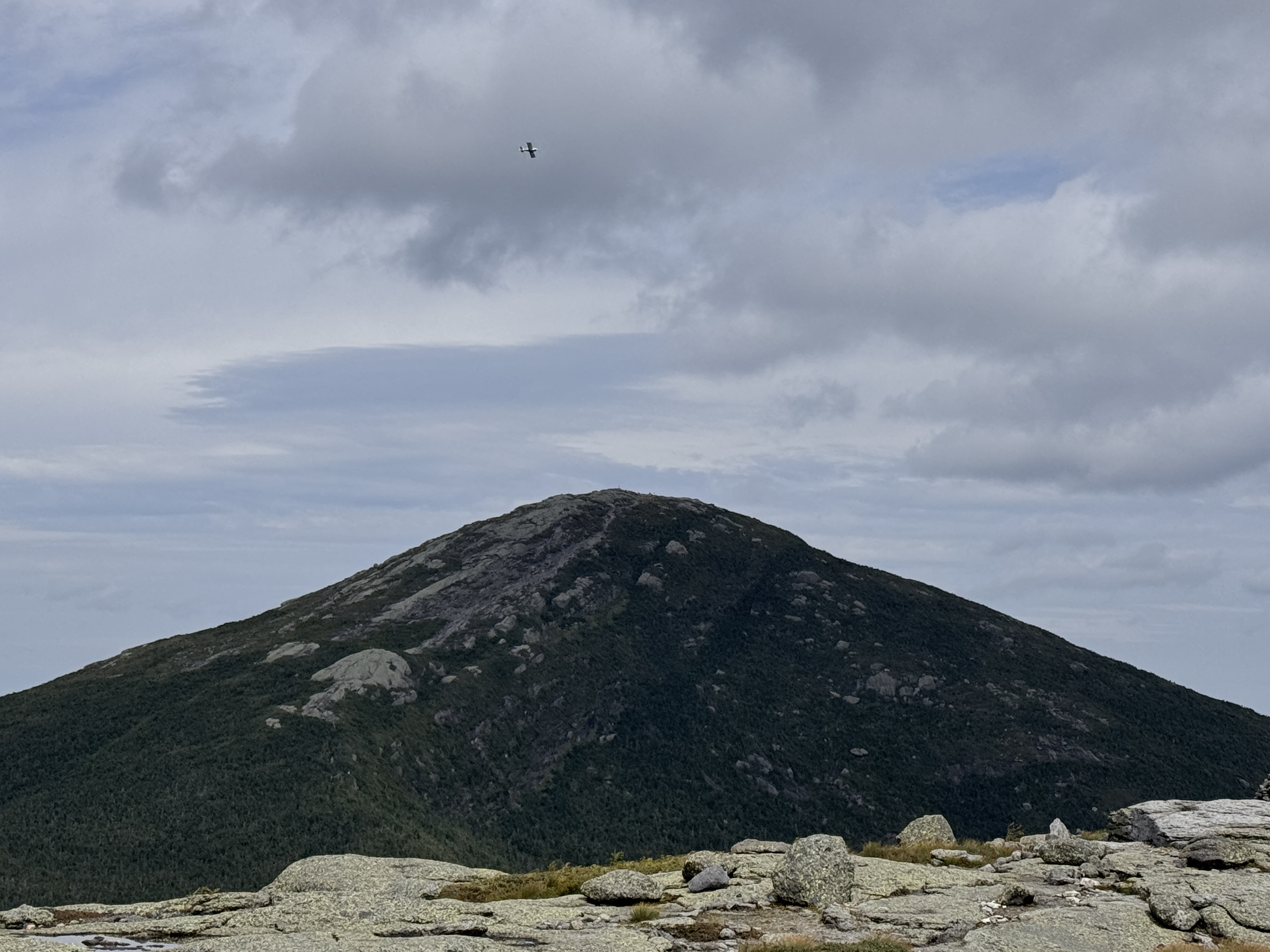
The views were breathtaking. People keep asking me what my favorite mountain has been to climb in the high peaks, and I really don’t know. It’s so hard to say. A lot of my experiences in the mountains are shadowed by pain – I have a genetic connective tissue disease called Ehlers Danlos Syndrome with causes issues with all of my joints, my circulation, digestive system, eyes, you name it. So I’m sure there were mountains I’ve climbed that were absolutely beautiful, but if I was in a state of just trying to survive the day, I may not have appreciated it. This day the only thing bothering me so far was my left hip – I had to keep pressure on one of the tendons as I climbed to keep it from popping out of place – no big deal honestly – so I was fully in awe of not just the sights, but how I felt, appreciating the moment as much as possible.
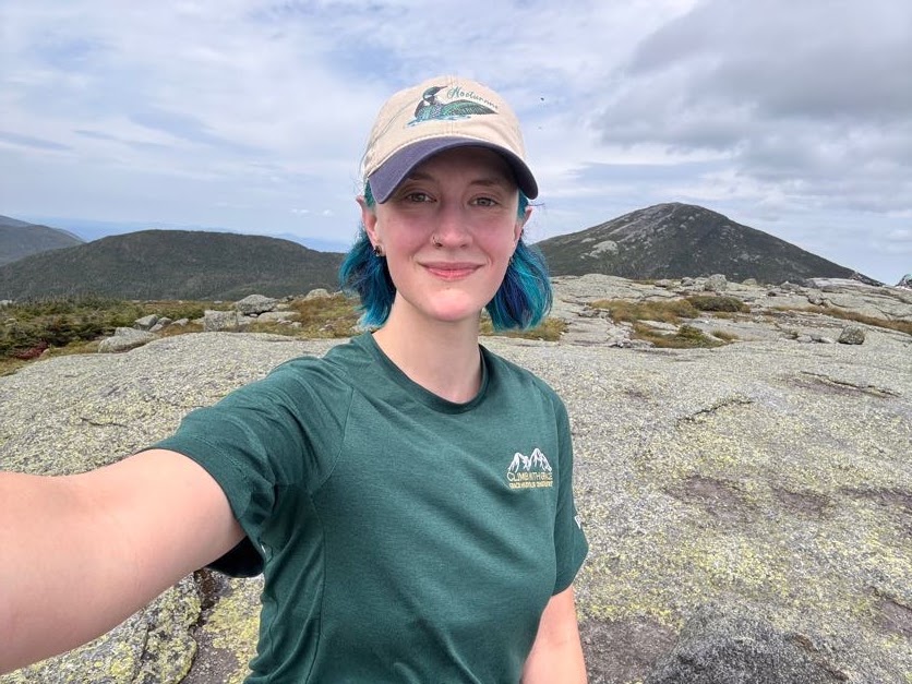
In these last 10 years, so much of my life has changed. At one point, when my pain and issues associated with my undiagnosed illness were at their peak, I had to come to terms with possibly never being able to climb these mountains again. That’s like taking a part of my soul from me. I was inconsolable for a while, but here I am.
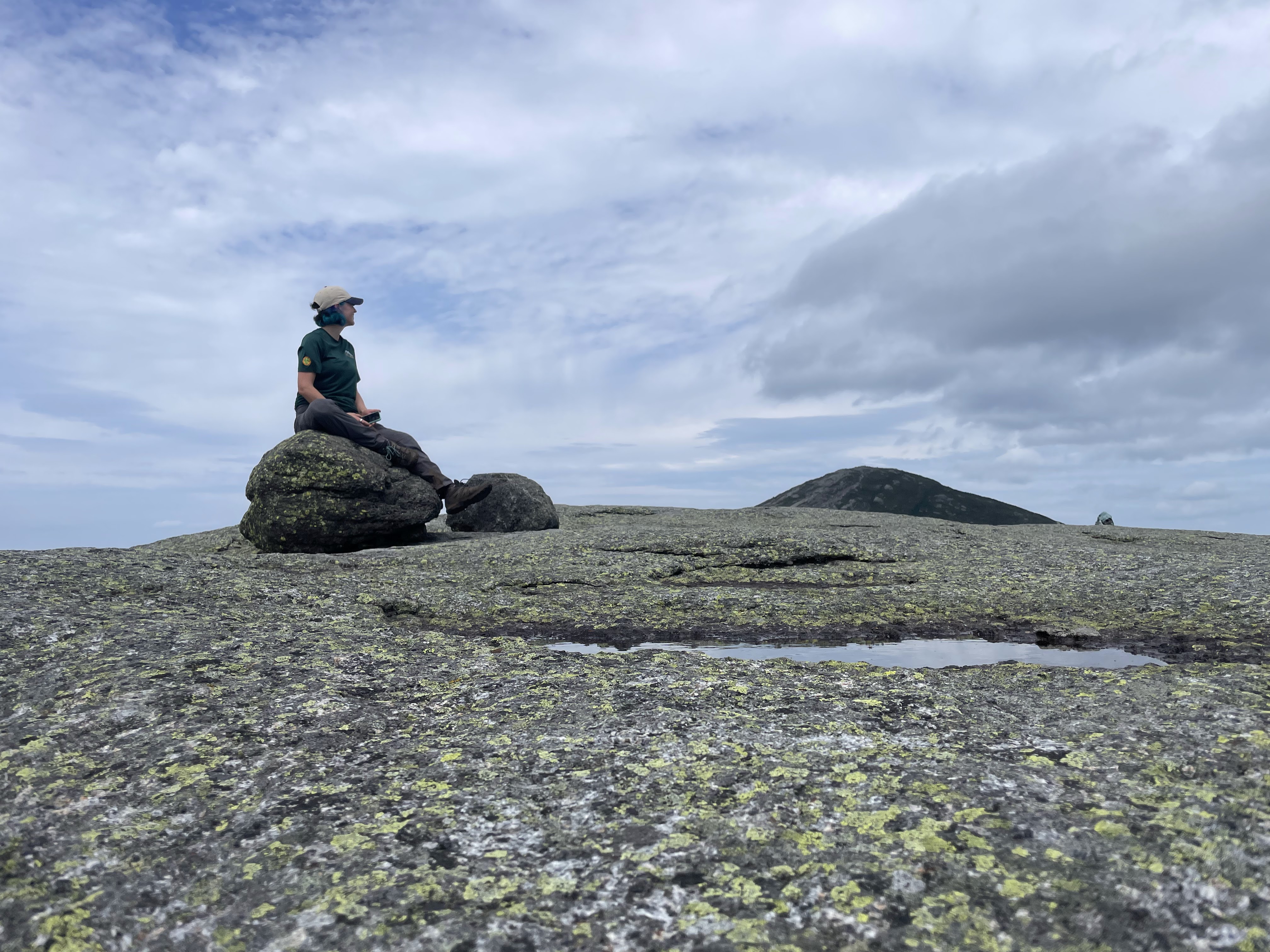
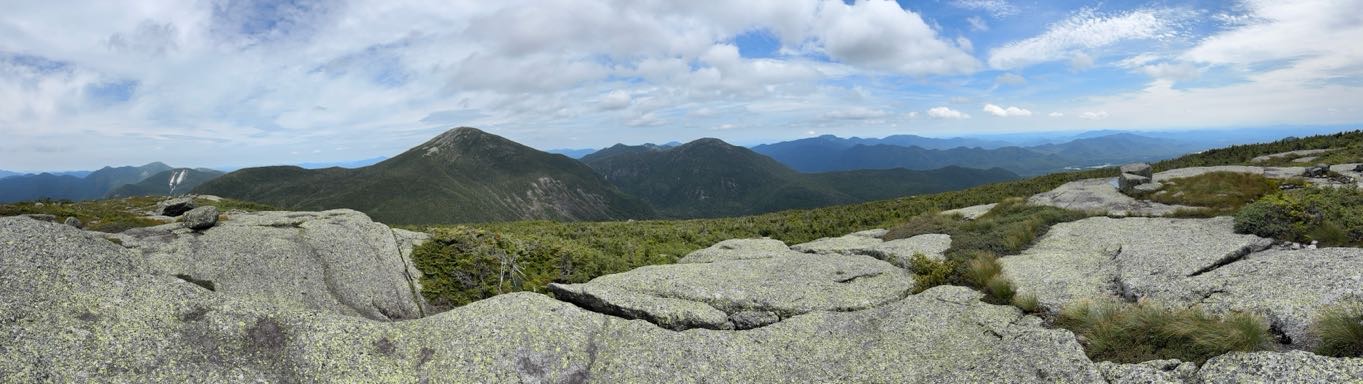
I wanted to stay up there forever. I did not want to come back down. But I knew my friends were already over on Marcy waiting for me – I could see them standing on the summit, waving!
At 1:15pm we begrudgingly made our way off the summit of Skylight.
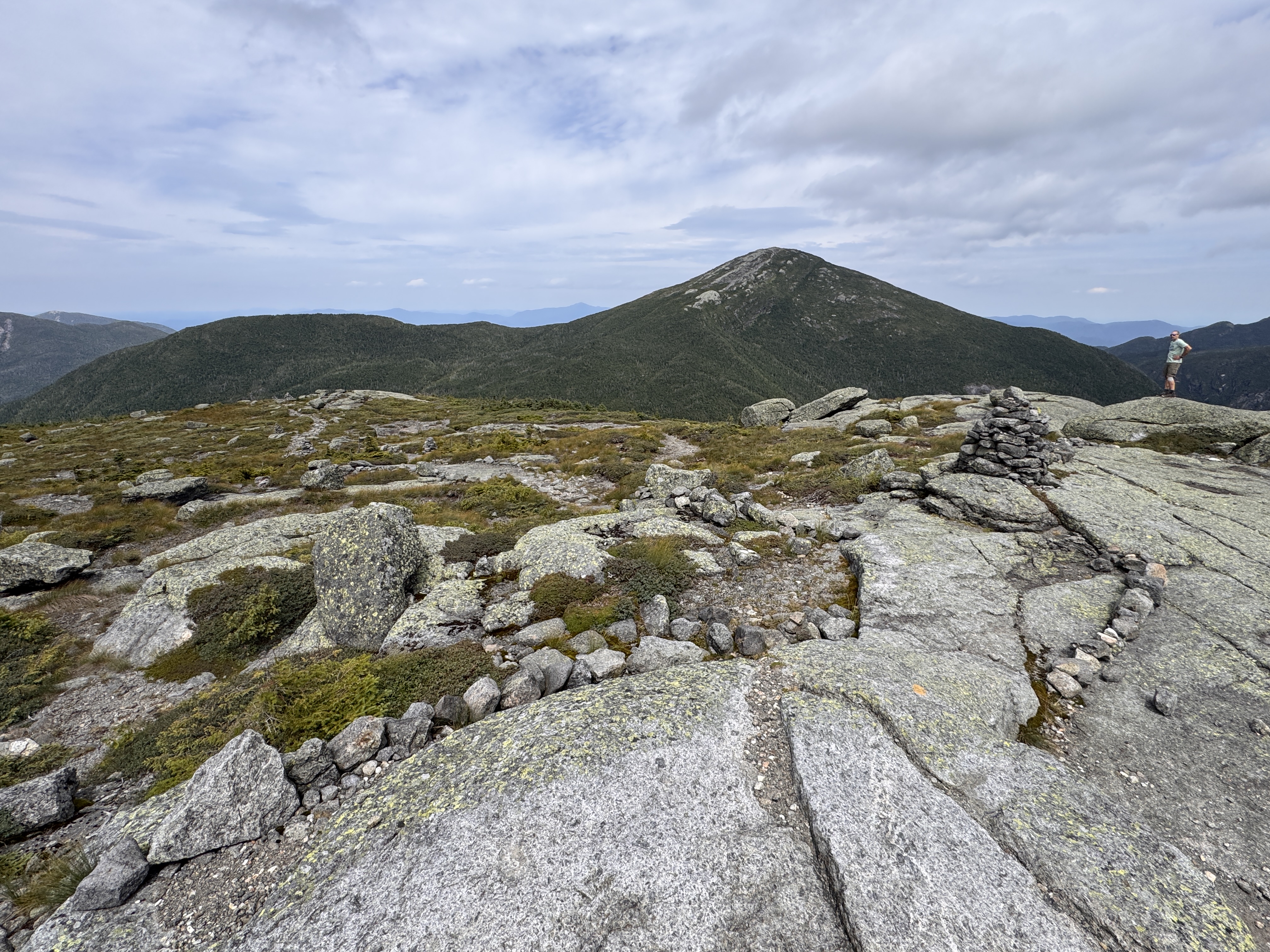
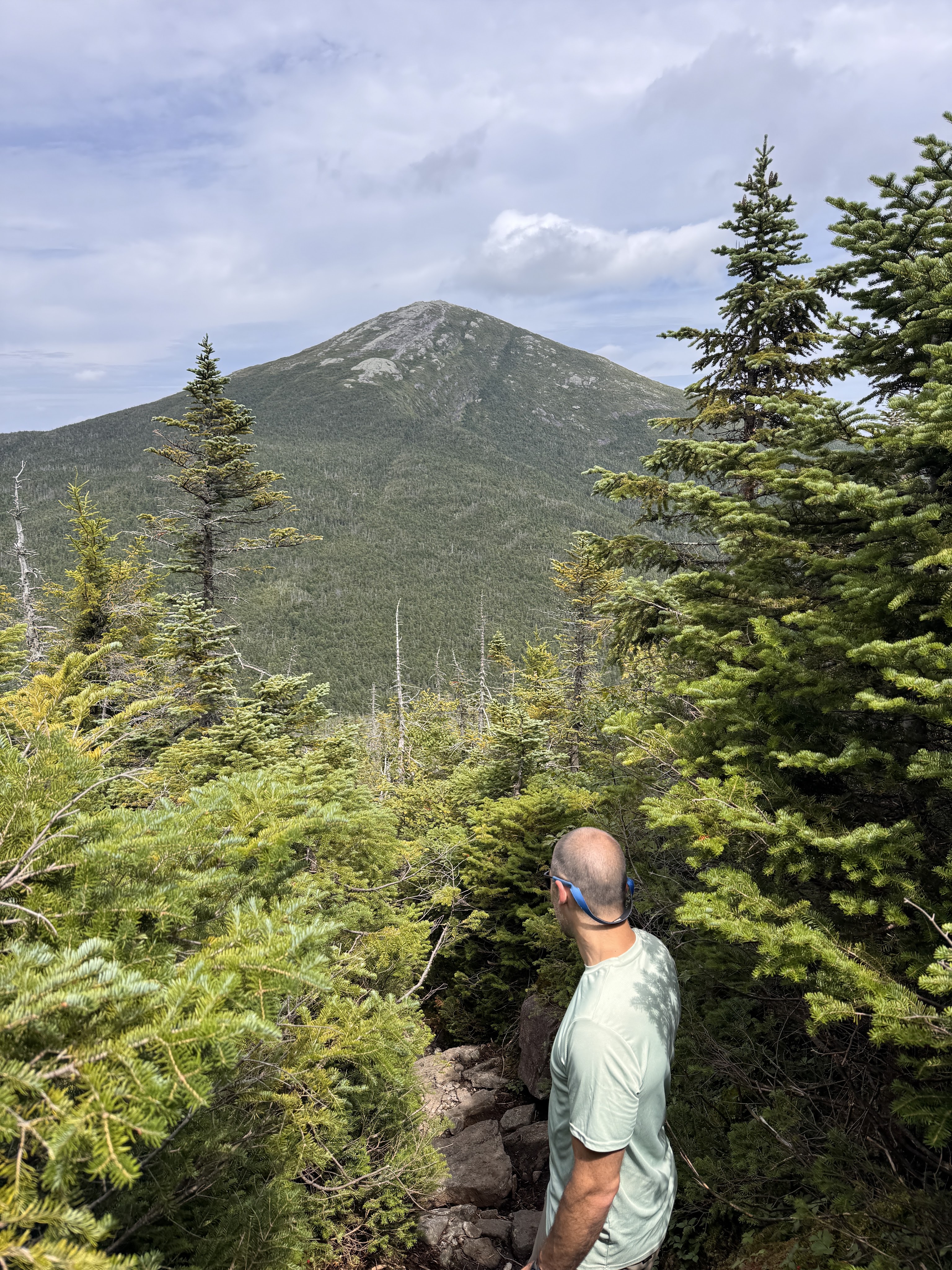
Seeing this view coming down Skylight was downright humbling. There may have been some vocal lamenting during the descent.
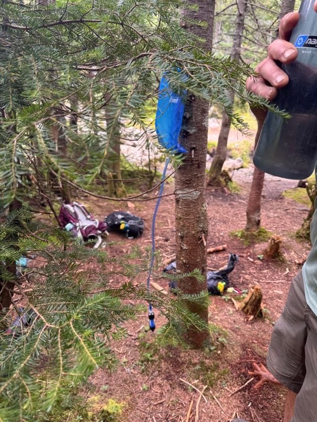
At 1:37pm we reached the spot where we and apparently everyone else had stashed our bags to go up Skylight. Gildo had set up the water bladder to filter our water while we climbed, so it was all ready by the time we got back. We hydrated, then threw our packs back on our shoulders and set off for the final push up #46.
Thar she blows!
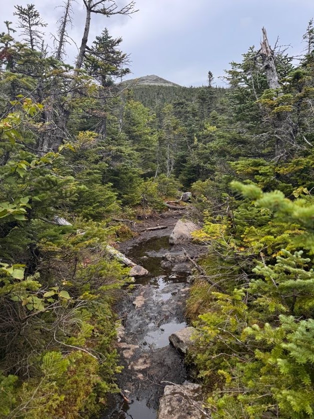
20 minutes later, at 2:07, we were standing at the rocky base looking up the steepest ascent to where my friends and family were waiting.
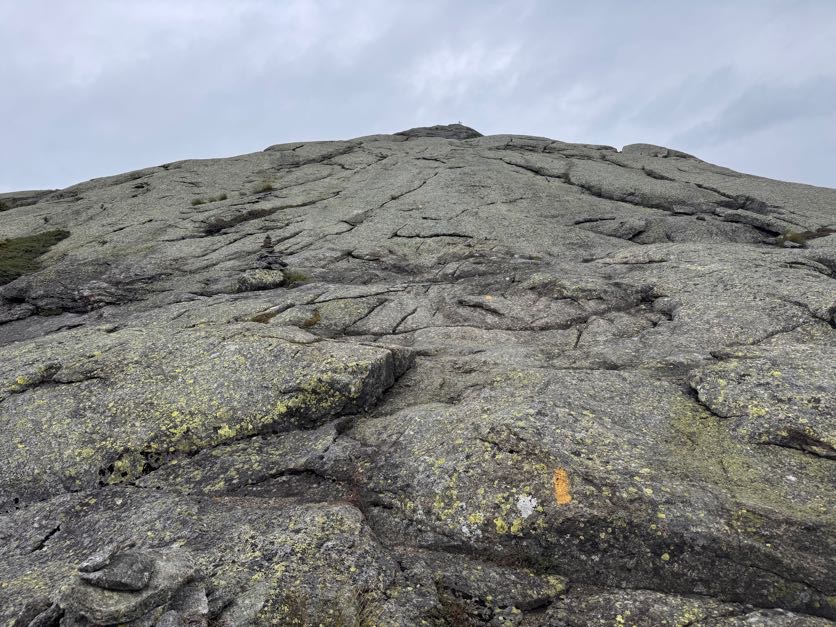
It. Was. BRUTAL. I remember looking at Gildo, hands on my hips in exhaustion, and just laughing and saying ‘Honey I’m so TIRED!’ as if it was an unreasonable thing to be at that time. We’d only been hiking for 6 hours and summited 2 other peaks, why would I be tired? He had the idea to just take 46 steps at a time, then rest, to break up the steeeeep ascent and be all symbolic at the same time. I know it was meant to be symbolic but actually that was the PERFECT number – each time I reached 46, I was at the point where I couldn’t take a single step more.
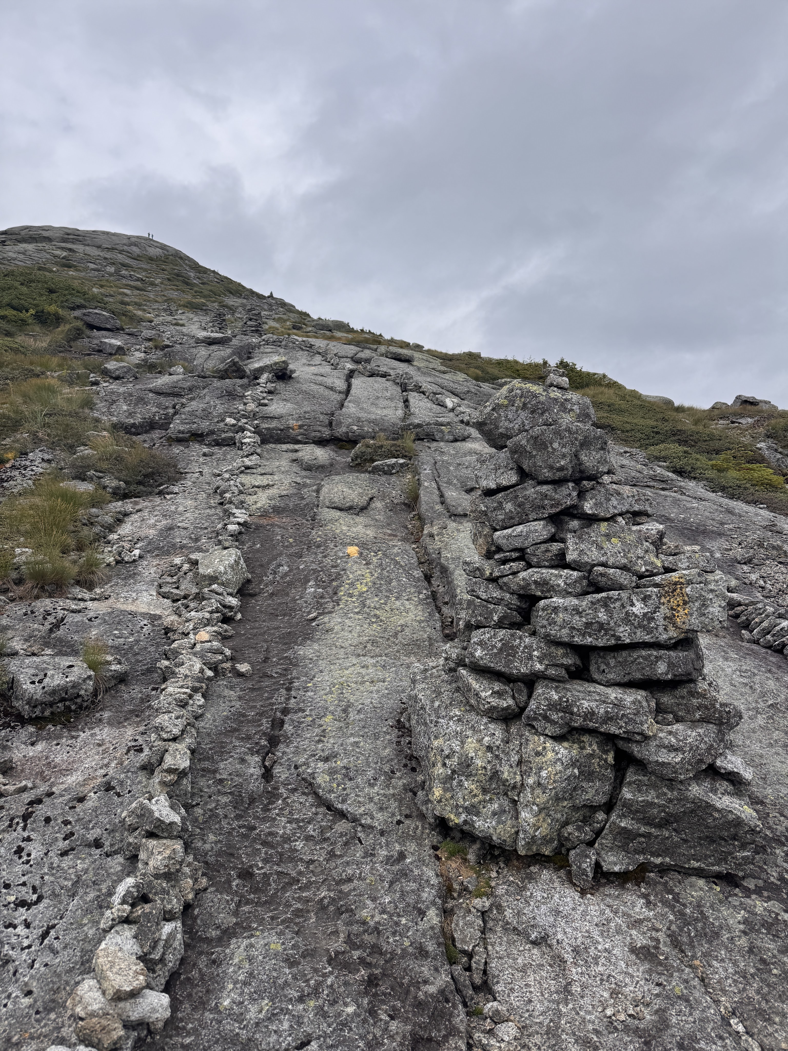
My friend Steve captured some of it on video – at least I don’t look to have been going as slow as I felt!
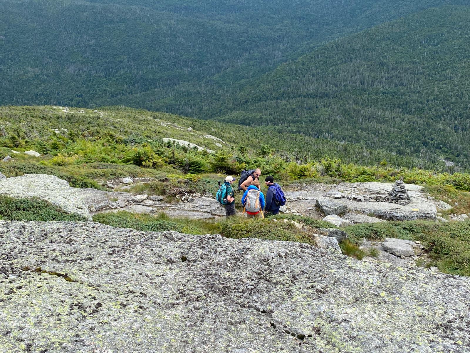

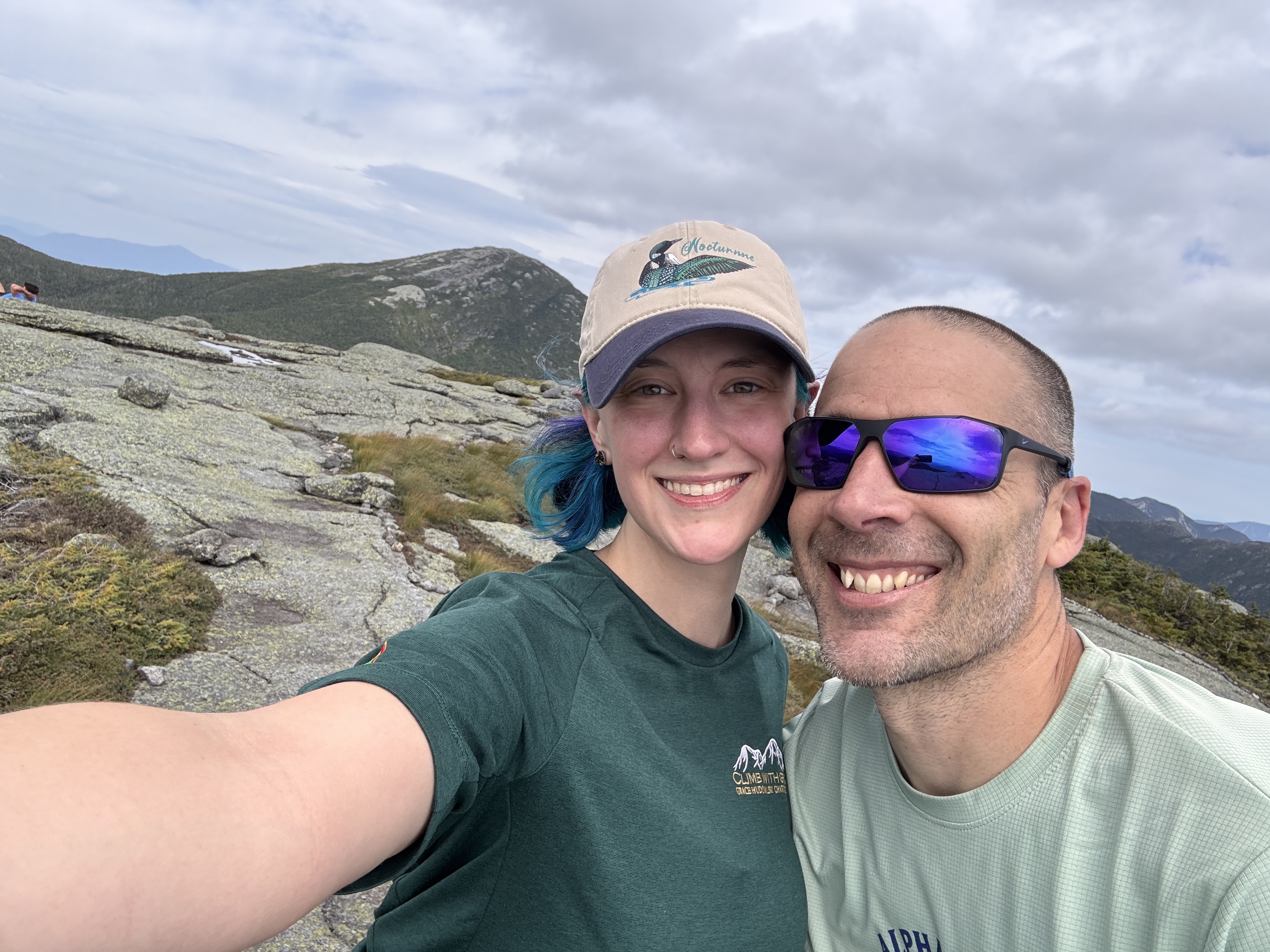
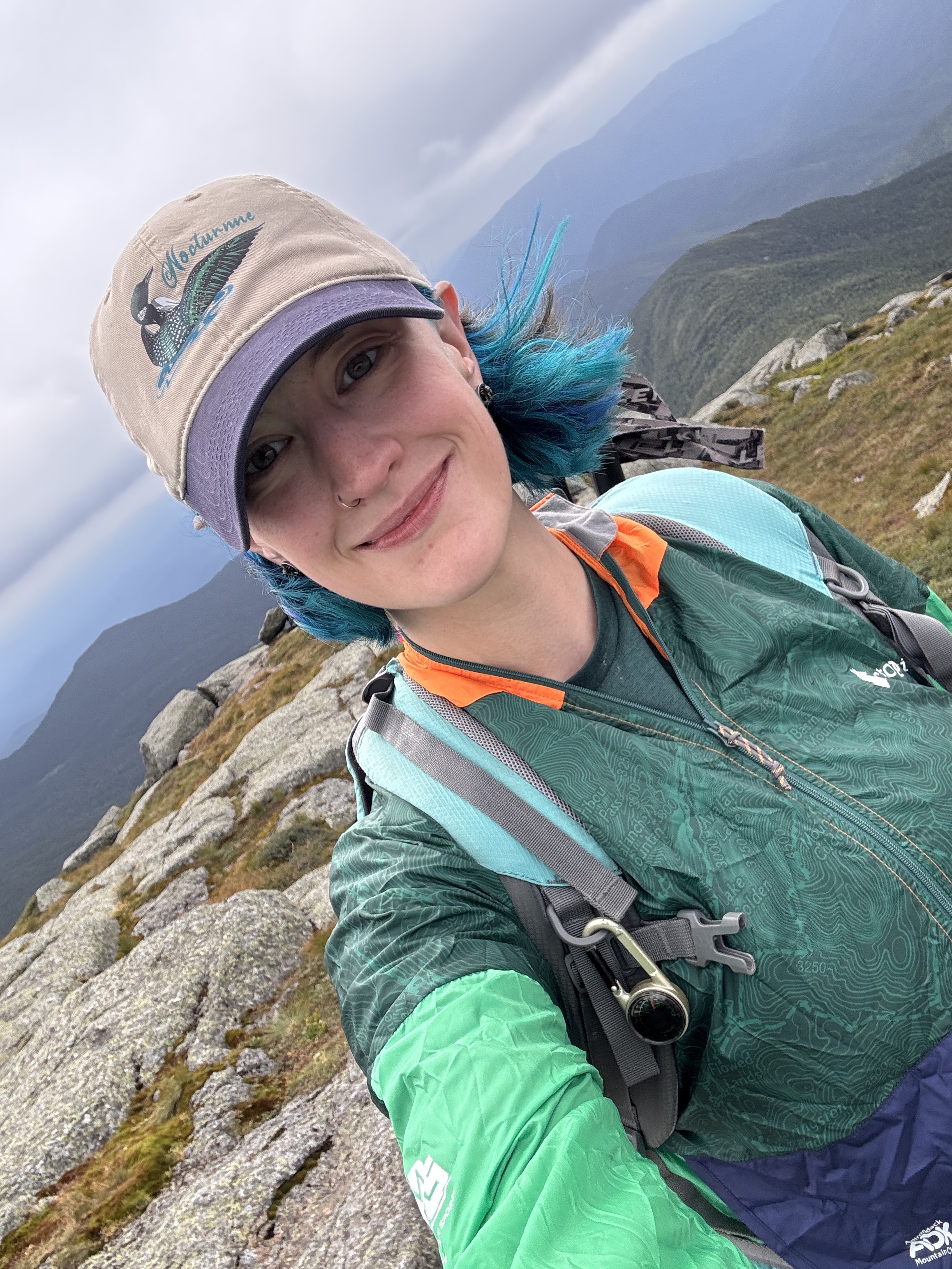
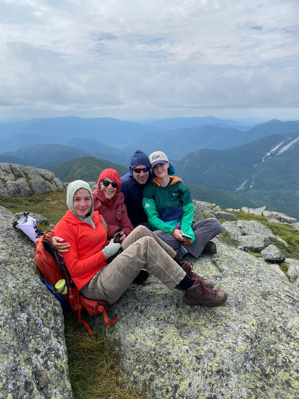
At 2:26pm on August 16, 2026, I stood on top of my 46th and final high peak in the Adirondacks – Marcy – surrounded by people I love.
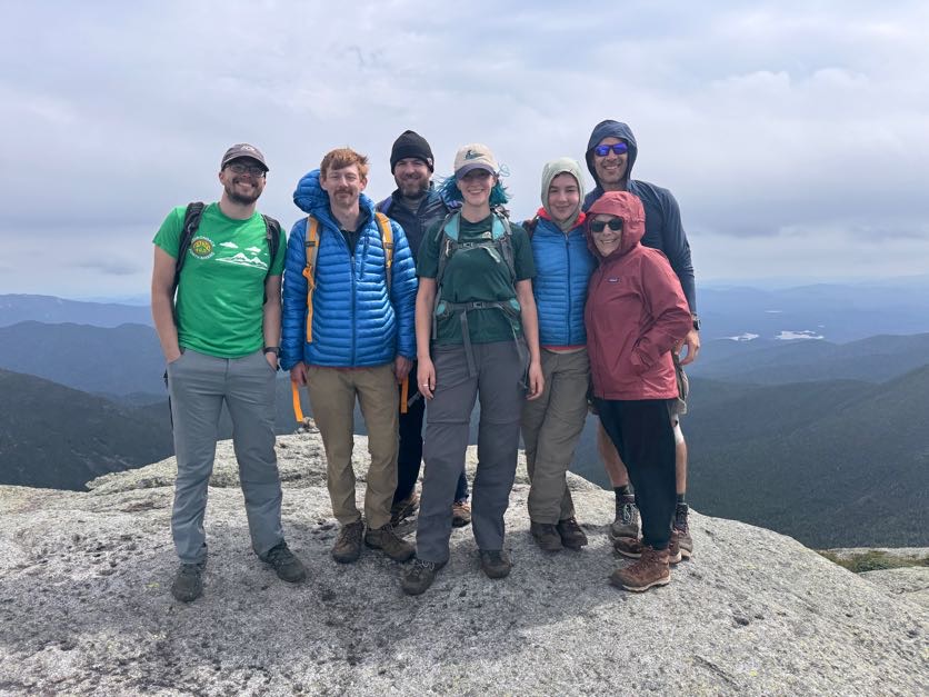
I’d really thought I might be a crying mess when I got there but I was so exhausted and so happy to see everyone that I don’t think I really processed how monumental this was and what I’d just accomplished!
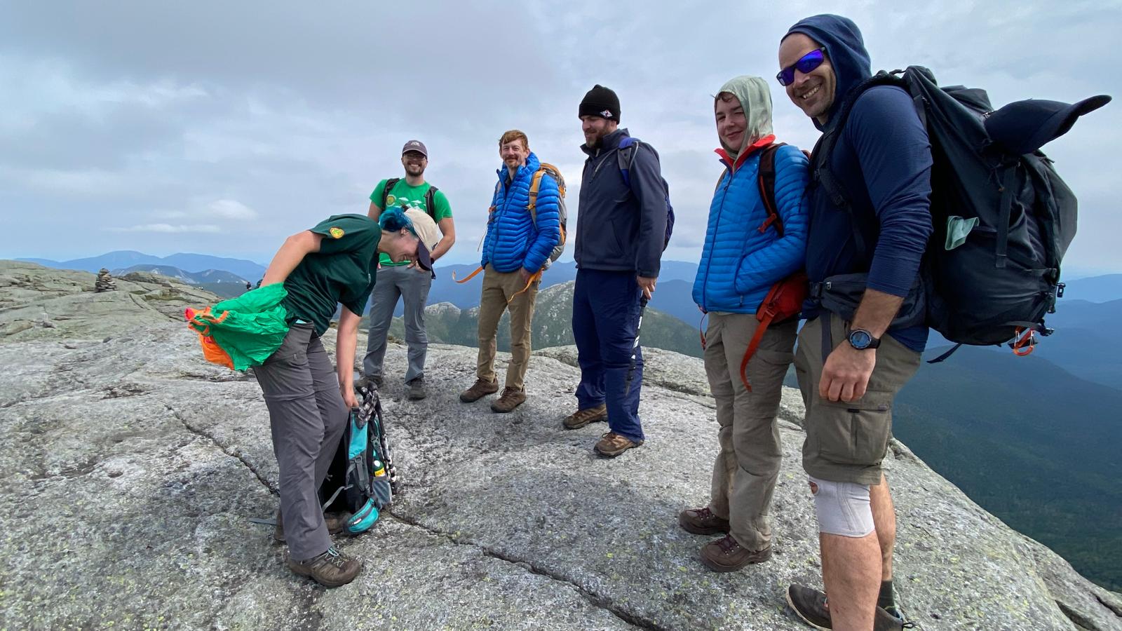
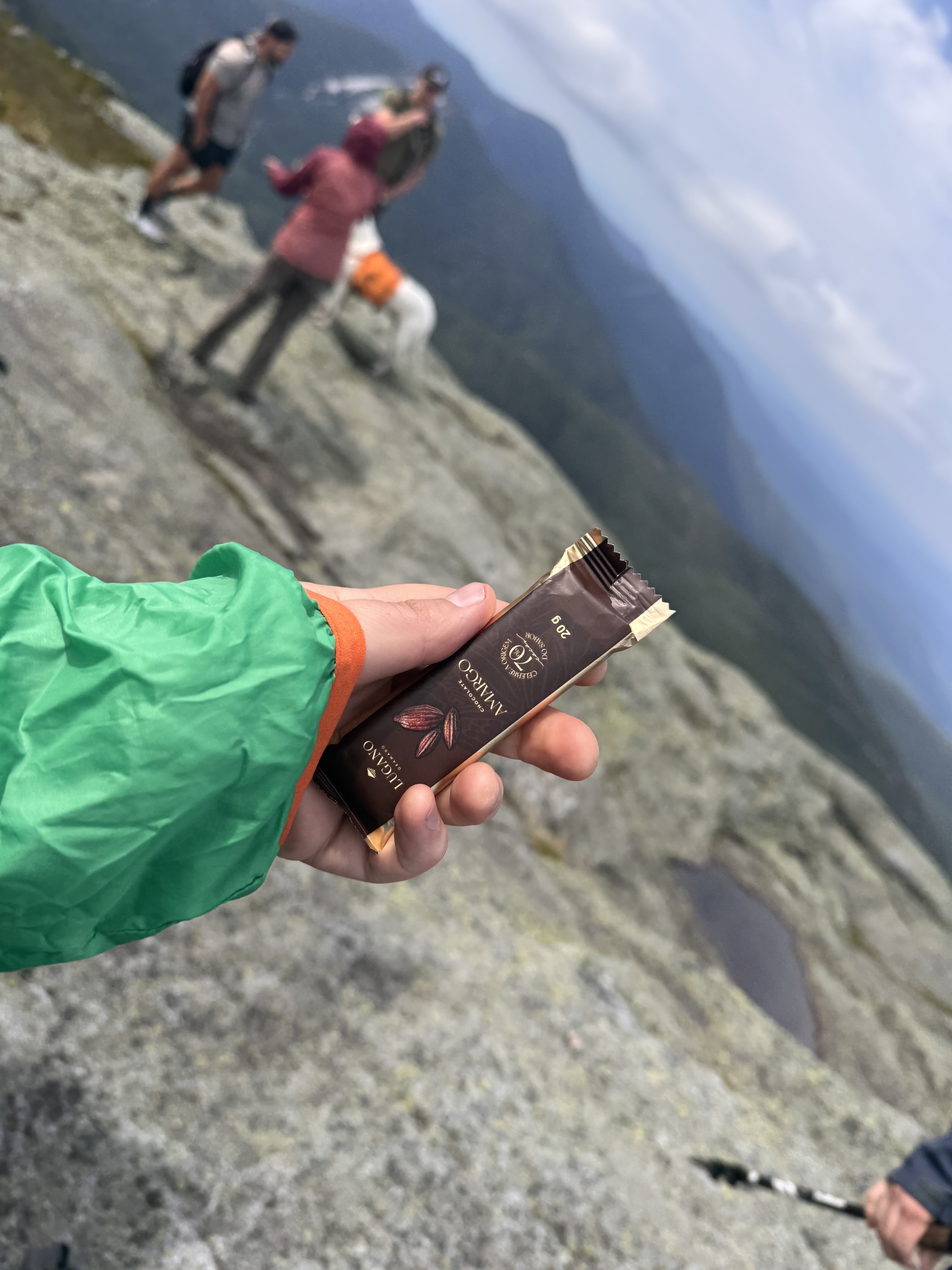
Victory chocolate was in order, of course.
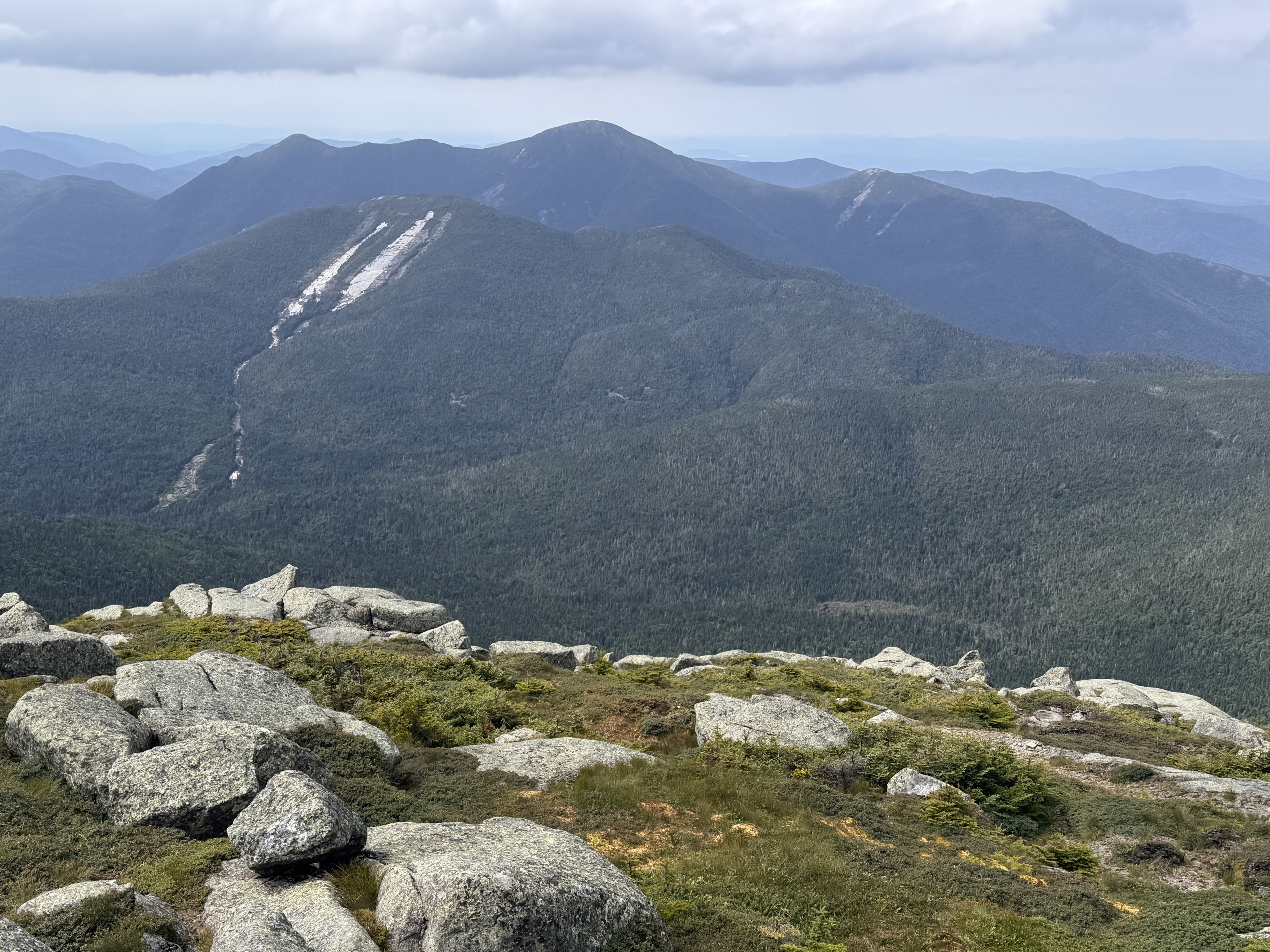
Looking towards Mt Colden and Algonquin, Iroquois, and Wright, below.
When I started this challenge 10 years ago, I was determined to do it alone. All of it. Along the way, my life became so much more full than I could have ever imagined. So having all of these friends and family celebrate at the summit with me is kind of symbolic of how my life has changed since those first few hikes. I wrote a song inspired by all of this called 46 Ways To Get Home. You can listen to it if you want while you finish reading! (And if you like it, here’s where to stream it: https://ffm.to/p9x0l9m)
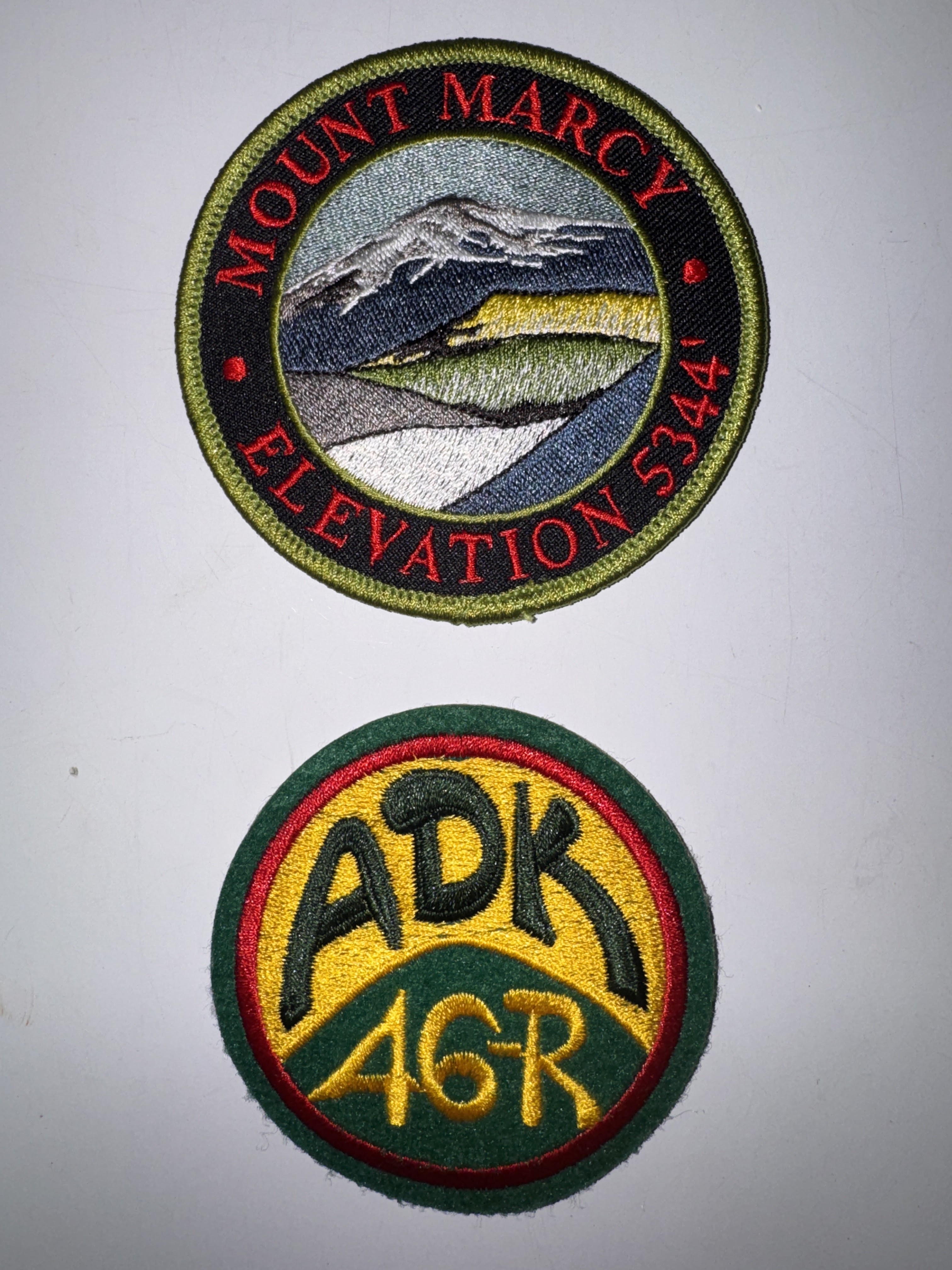
Several of my group are already 46rs, one of whom gifted me my very first ADK 46r patch AND a Mt Marcy patch!
At 3pm, clouds were rolling in and we thought it best to start our descent. I wanted to stay up there forever, but I don’t think the summit steward would have appreciated that, so off we went, stopping first at a nice overlook of Panther Gorge.
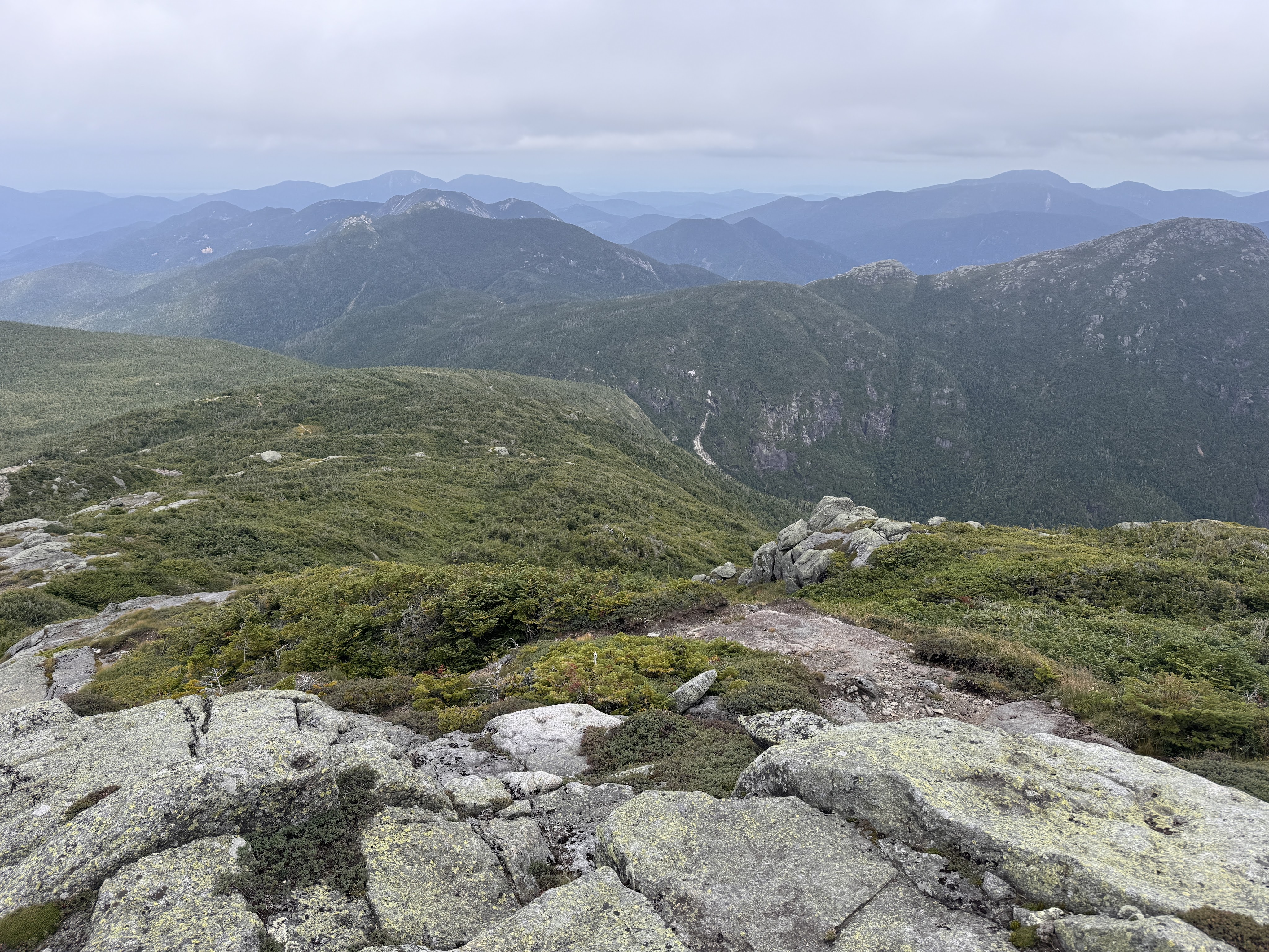
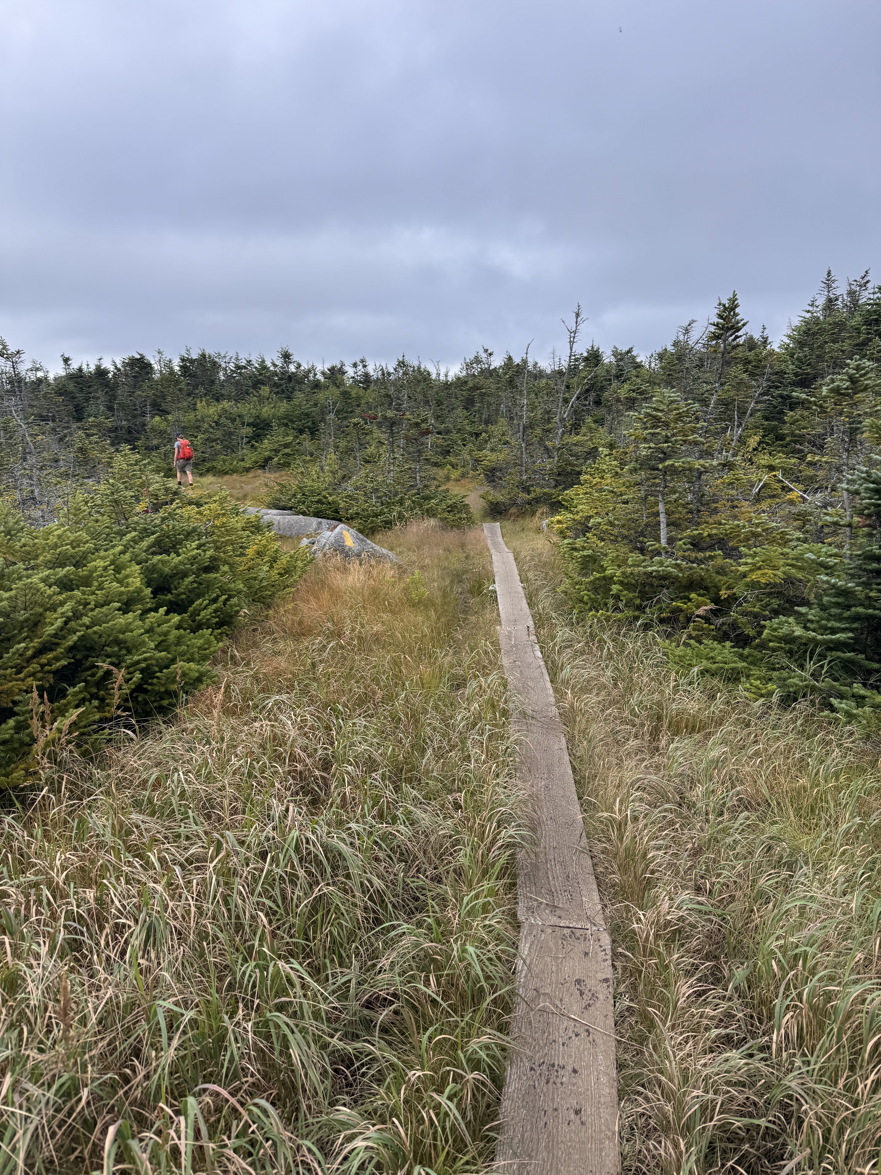
We immediately lost the trail, distracted as we were by our conversations with one another, and had to climb back up a bit to find the blazes once again.
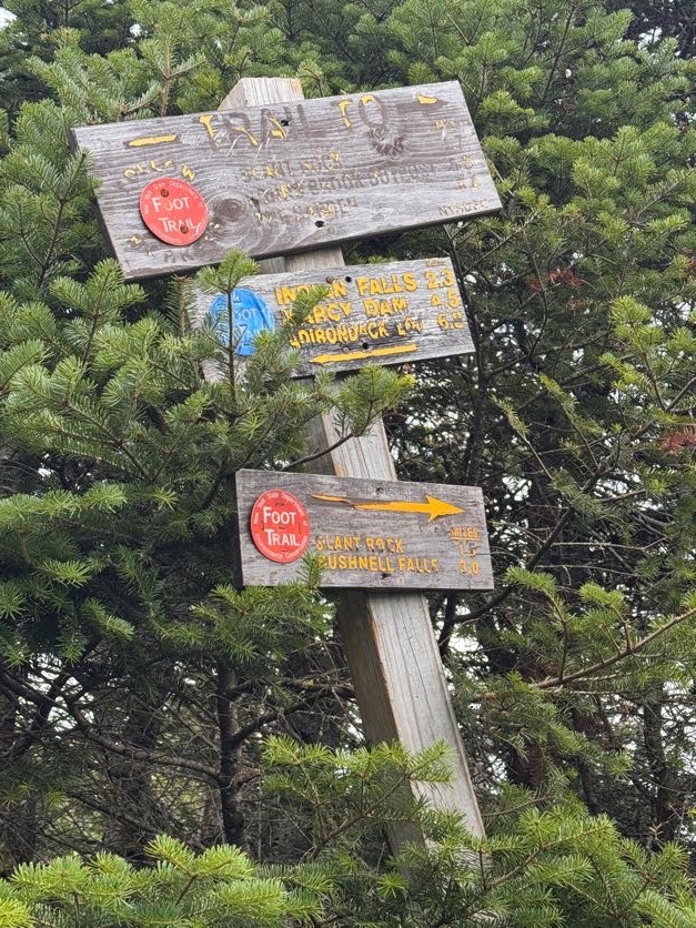
35 minutes later we reached this very confused sign with one arrow pointing to Slant Rock – 1.7 miles, and another to Slant Rock – 1.5 miles. We hung left to go back towards Marcy Dam.
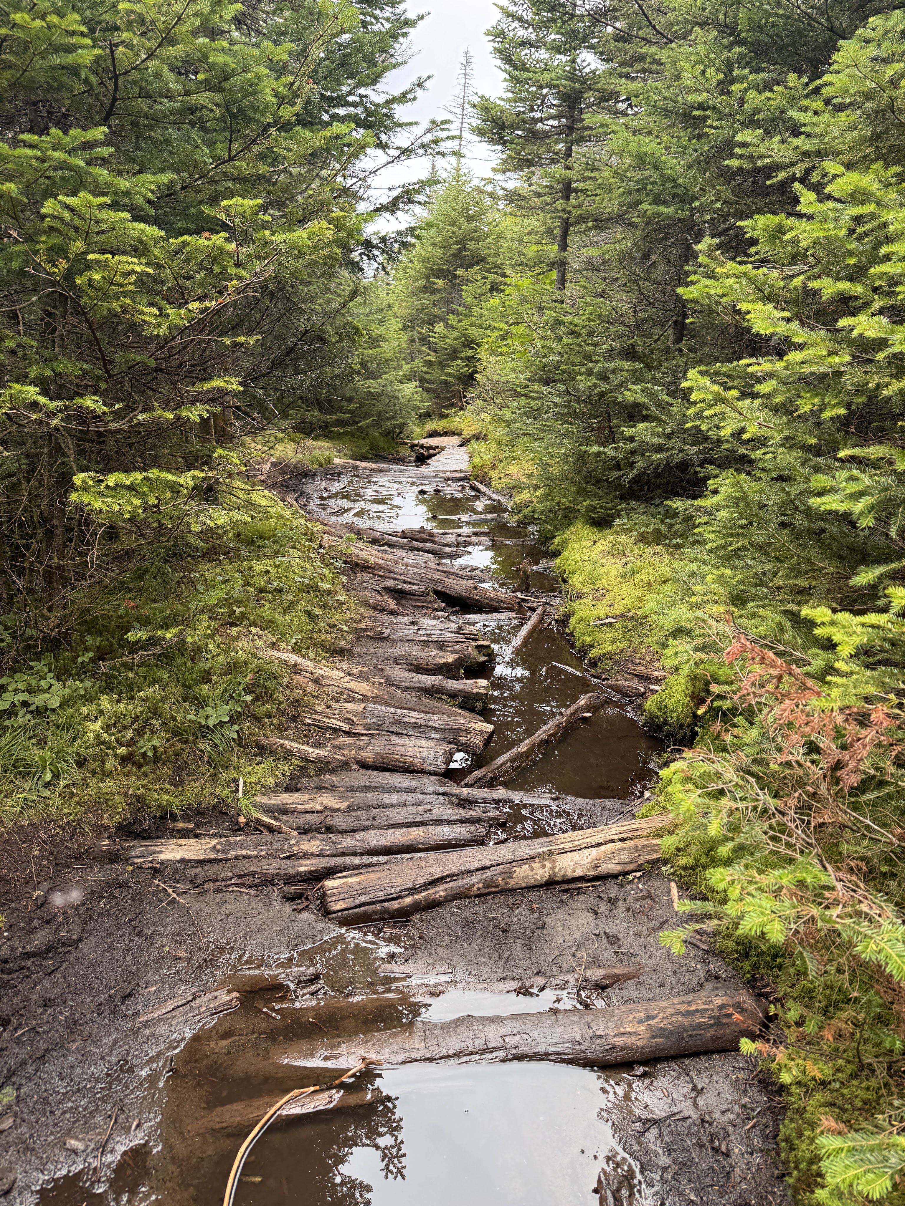
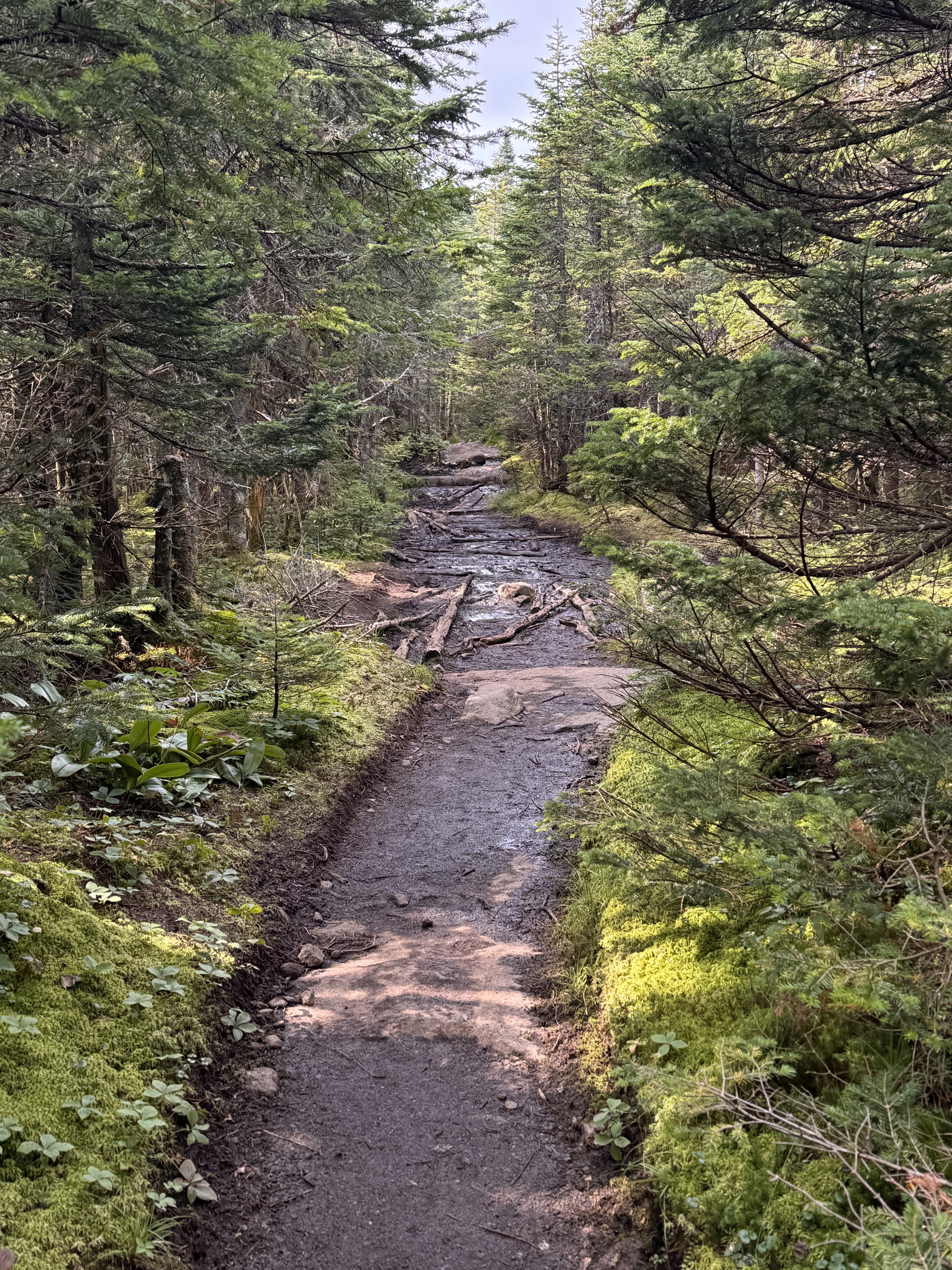
At about 4pm we encountered really the only muddy section on this side of Marcy. A walk in the park compared to the floating logs on the other side!
Once we were past the initial steep descent from the summit, the rest of the way down was a dream. Easy peasy. A welcome relief from the climb up the other side.
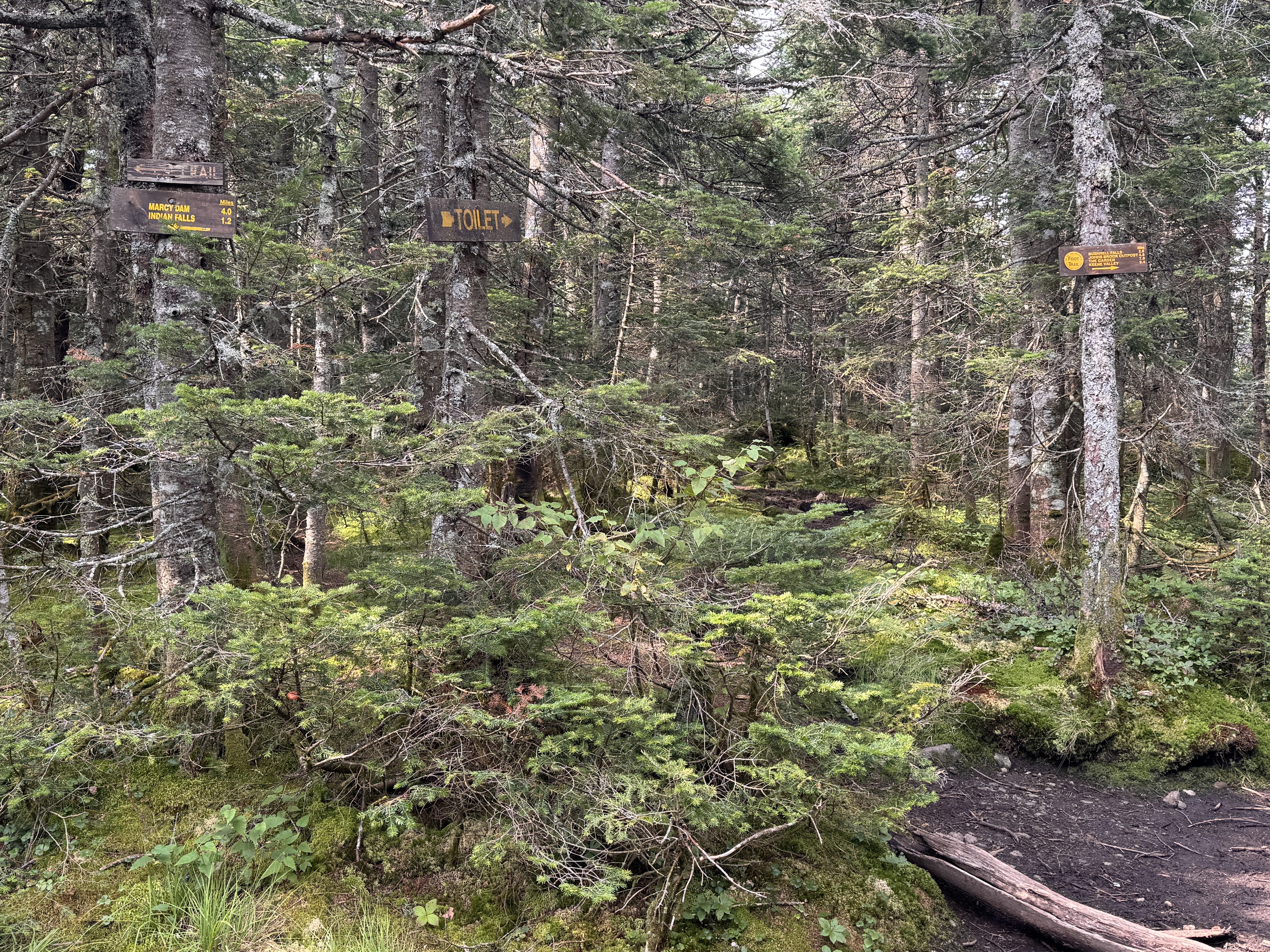
A toilet is spotted! Right around here, I also spotted two familiar faces coming up the trail – two more friends were making their way up to meet me!!
Having never hiked with a group before, I wasn’t sure how it would work coming back down all together. Not everyone knew each other, and we ended up naturally splitting into smaller groups as we went, chatting and sharing stories and catching up. It made me so happy to hear my friends becoming friends with each other on the way down.
At 5:20, we took a break at Indian Falls to sit, rest our legs, and have some snacks. We lingered here for 15 minutes before pulling our packs back on and continuing on our way.
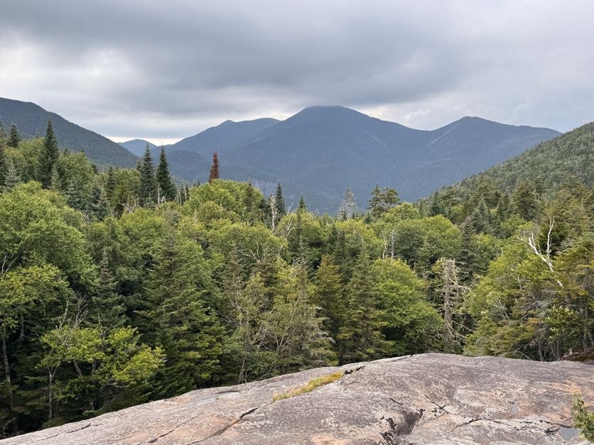
At 6:30 we reached the junction with Phelps mountain. Gavin and I recollected the time we had both independently set out to climb the same two mountains, crossing paths as I was descending Phelps and he was ascending. What are the odds?
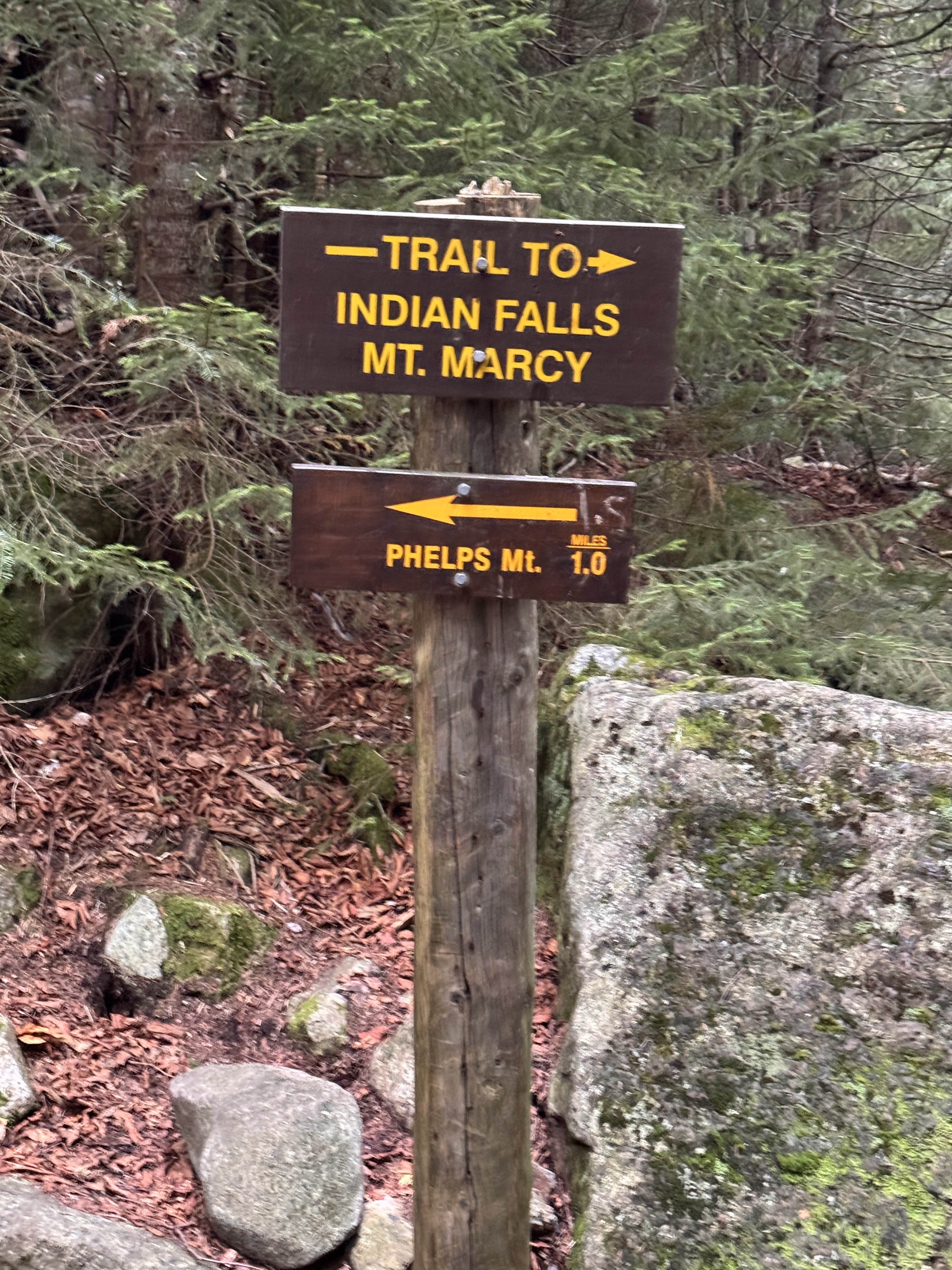
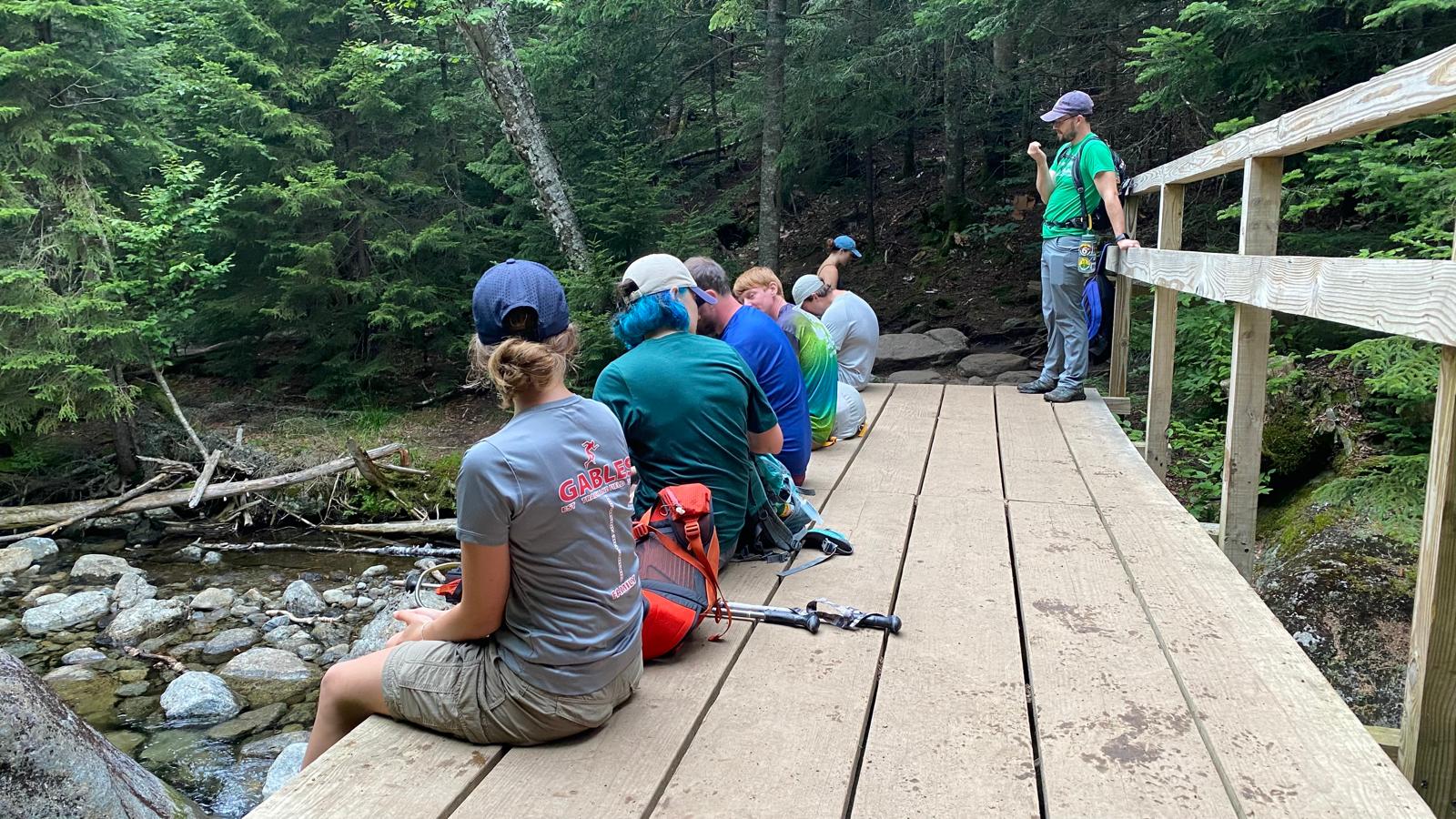
We stopped at a bridge here for a few minutes. By now the legs were jelly and prone to making mistakes, so I took advantage of every little break I could.
20 minutes later we were almost back to Marcy Dam.
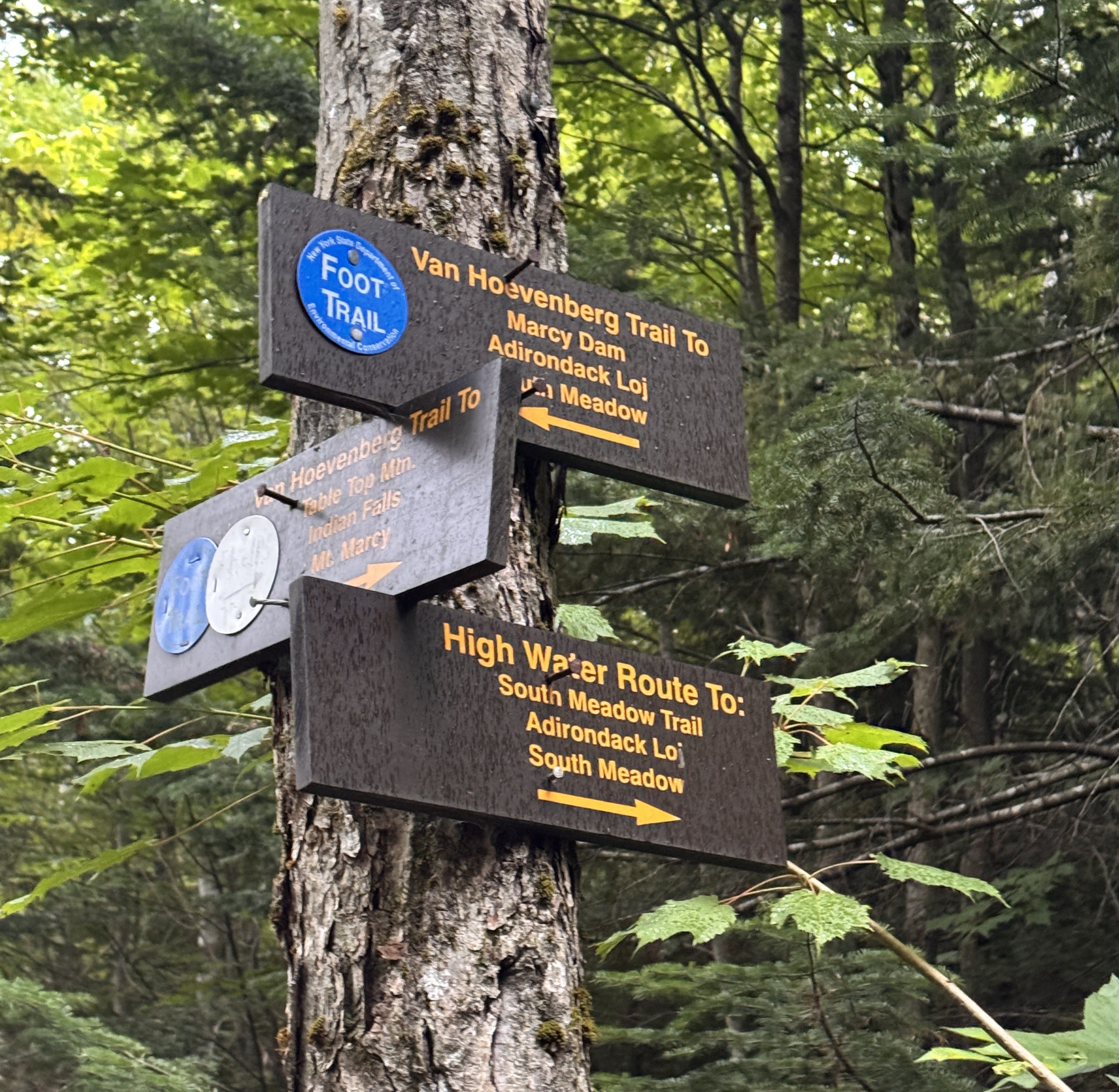
And crossed the bridge back across 10 minutes later. We relished in the light rain that began falling, a welcome rinse for our sweat-covered selves.
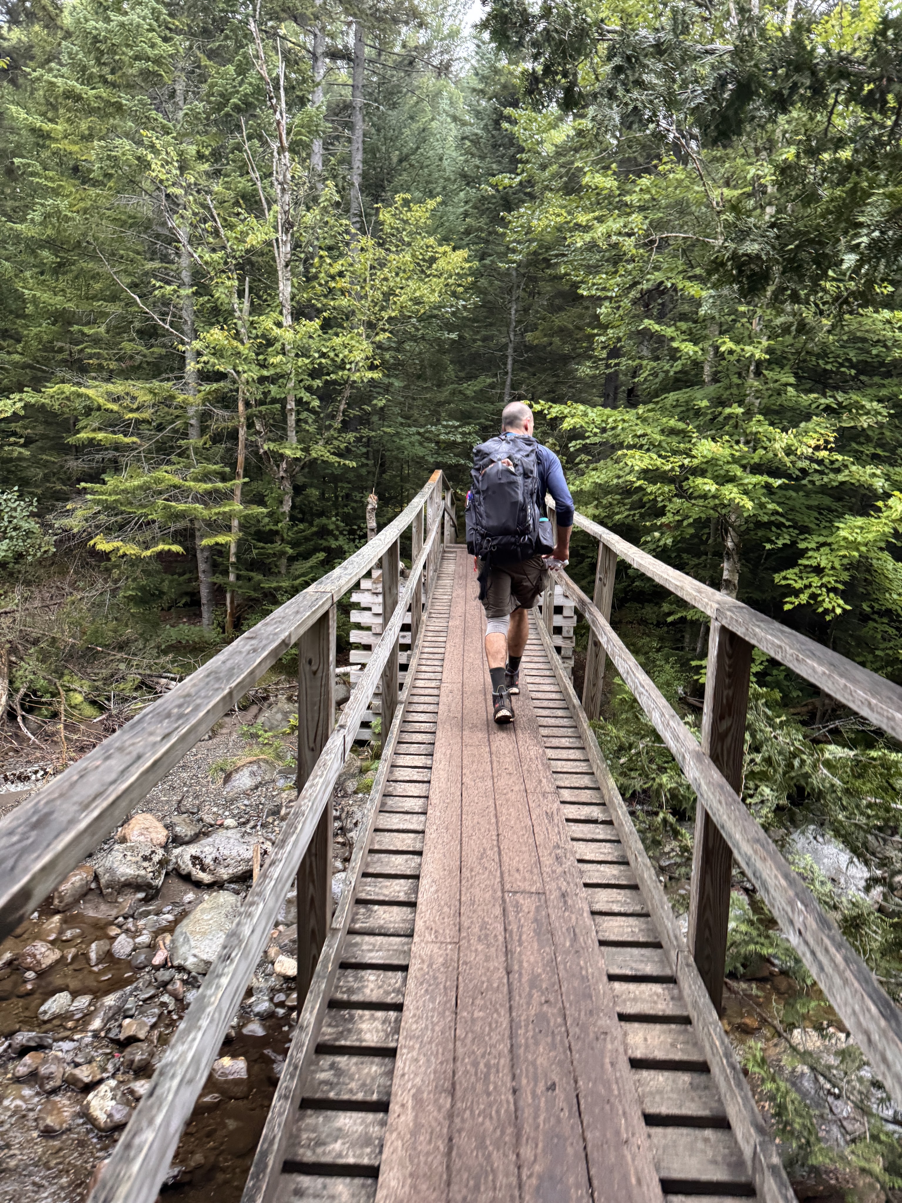
By now I think we were all struggling. I was in front of the pack for the most part, booking it, super ready to be done. I wasn’t feeling chatty by now, just so exhausted and hurting. At some point I noticed it had gone pretty quiet behind me too, so I turned to see where everyone had gone – but they were right behind me, just too tired to chat.
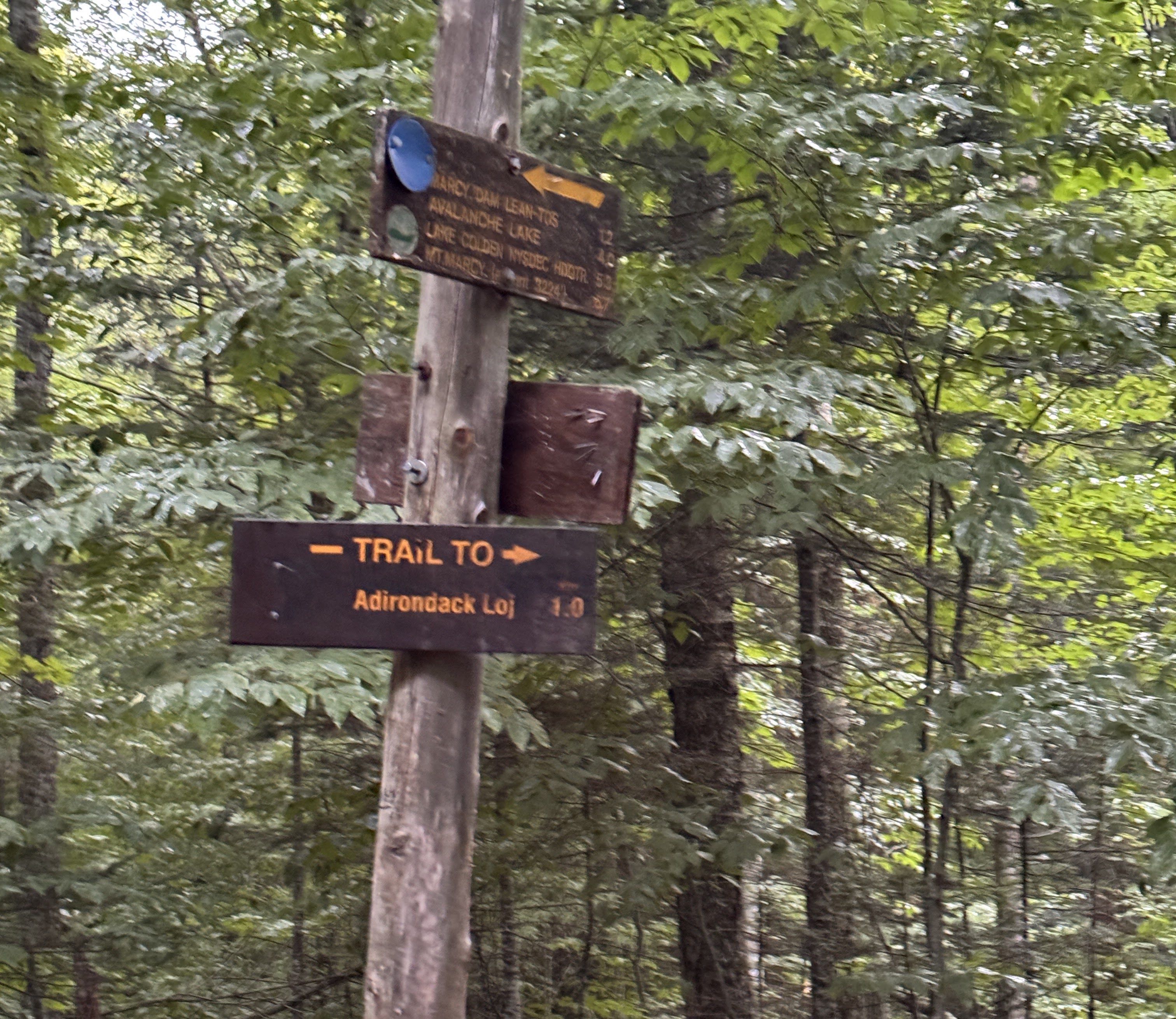
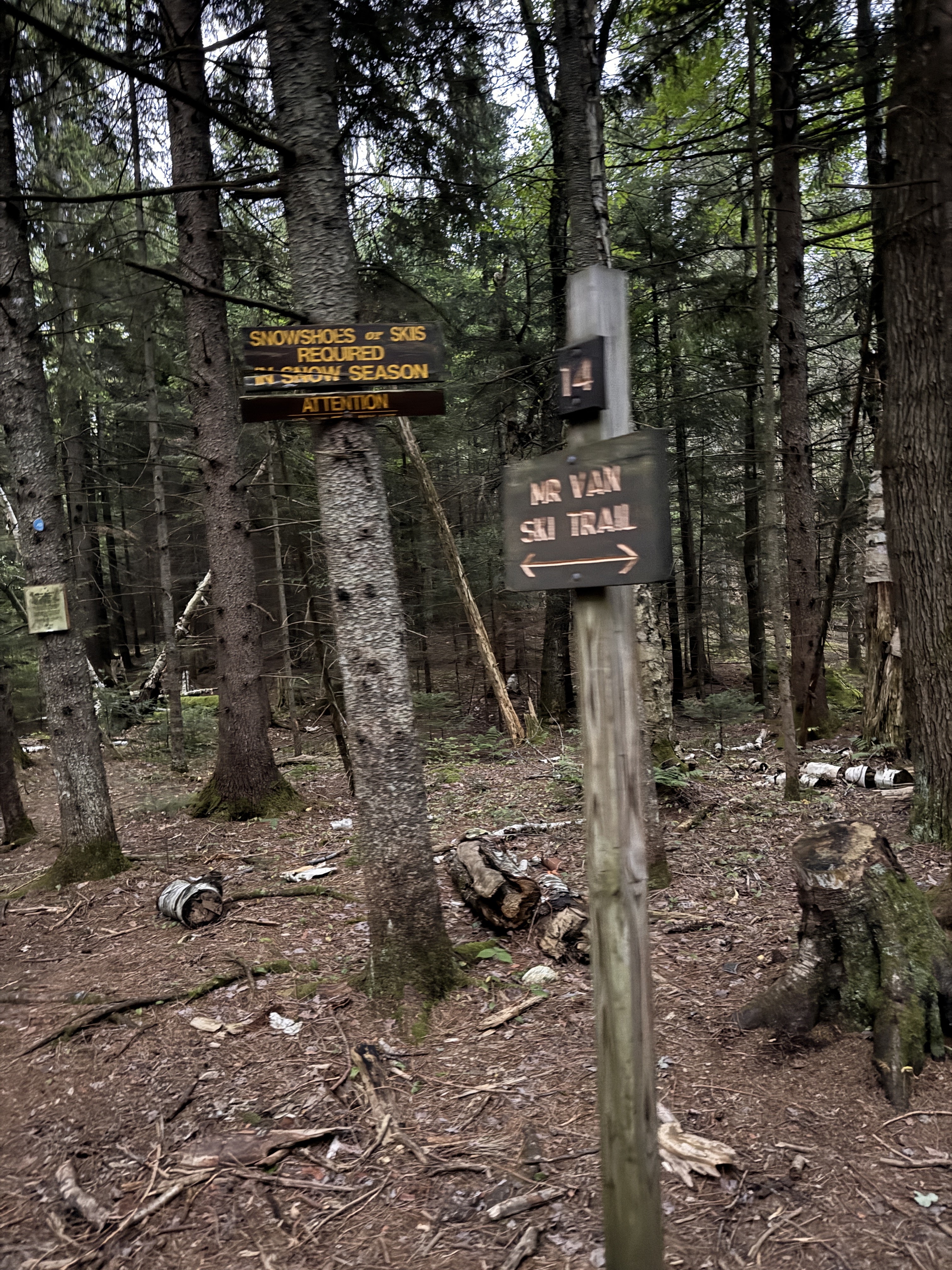
At 7:50pm, we reached the last register and signed out. We survived!! And check out this beauty from my fall earlier in the day.
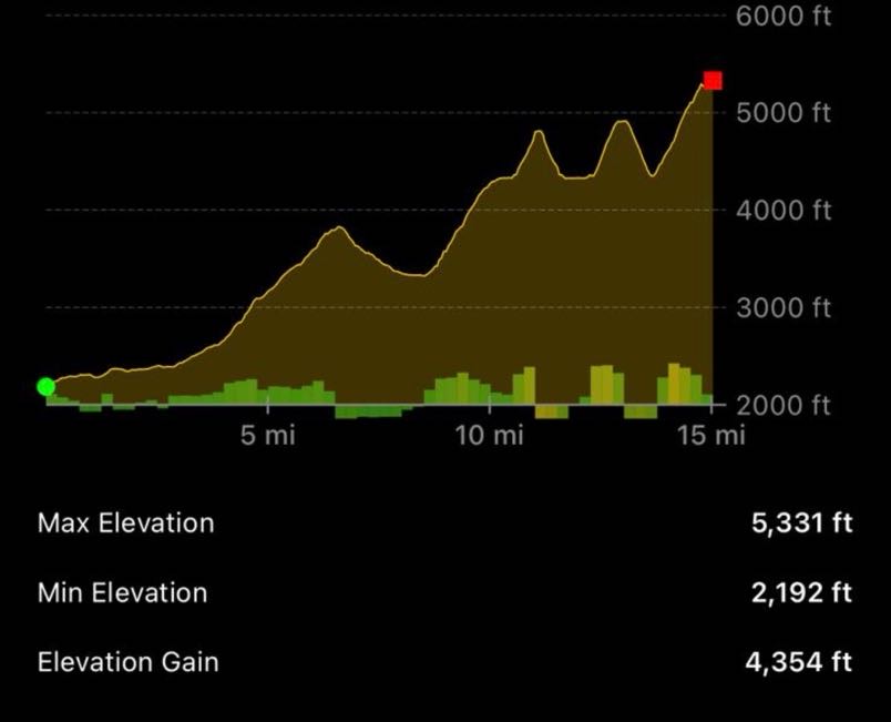
Disregard the distance in this image; but the elevation is super interesting and looks pretty accurate! How cool is that.
Well, I guess that’s it! I’m definitely not done hiking in the Adirondacks, but I can now say this chapter of my life pursuing the 46 high peaks has come to an end. It’s bittersweet for sure – but I’m so proud of myself for pushing through endless hurdles and I’m so grateful to my support network of friends and family for standing beside me. Thank you for being a part of this journey with me, I hope it inspires you to go on one of your own! Happy hiking ❤

ADK 46er number: 17306

Mount Marcy: 5343′ Elevation Gain: 5140′

Total duration: ~14 hours

Total distance: ~18 miles

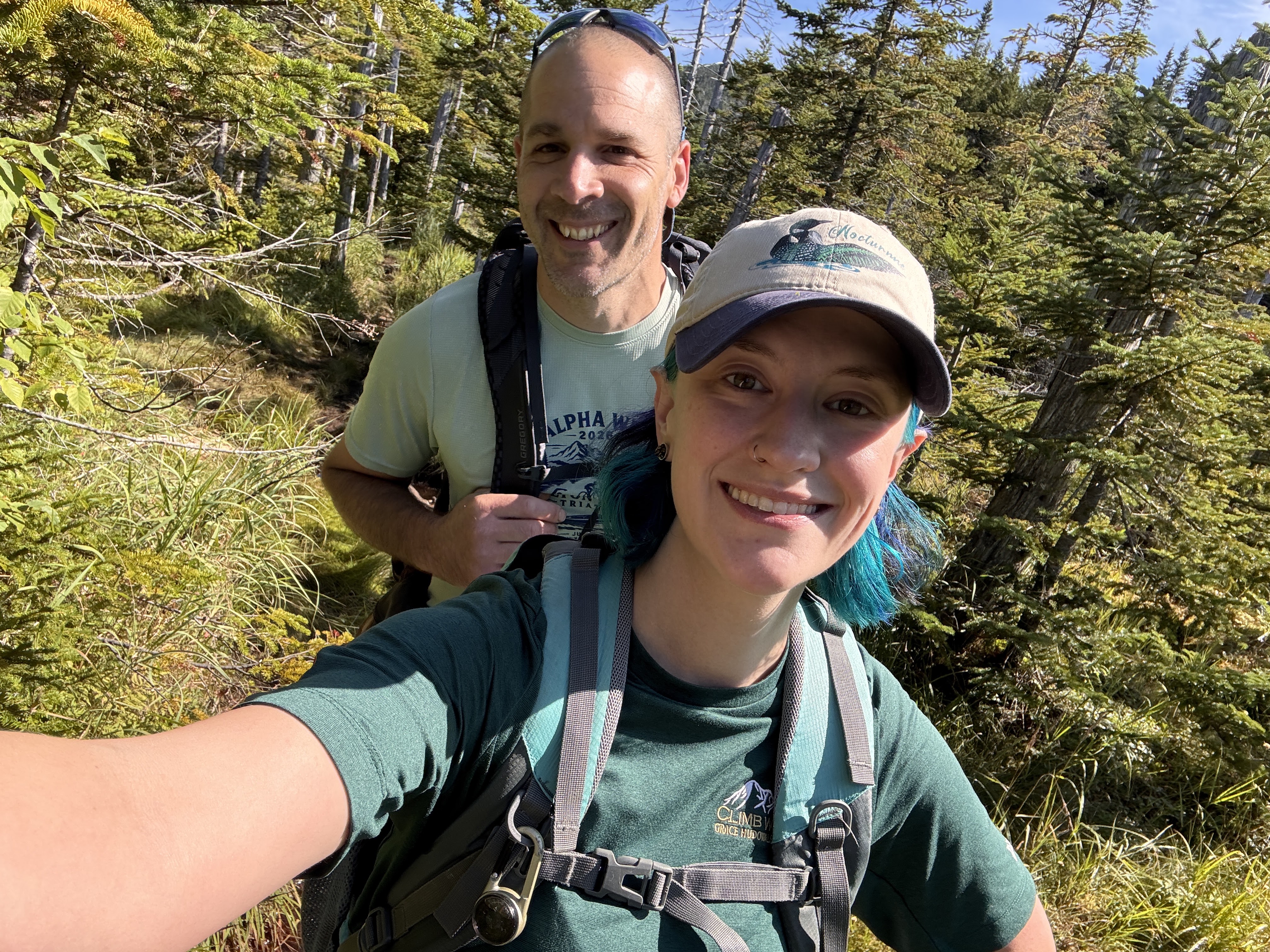
All images are property of adktrailtalesandtails and may only be used with express permission.
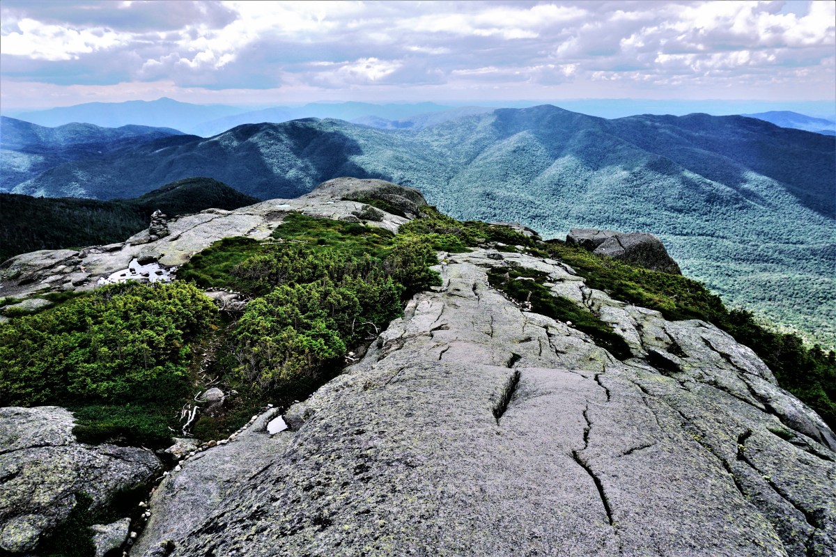
Iroquois (8), Algonquin (2) and Wright (16) Mountains (+Boundary Peak)

7/16/17

It’s been a couple of weeks since I climbed Nippletop and Dial, and with my PhD dissertation defense looming over me (it’s on the 24th of this month, and I’m dreading it), I desperately needed to get into the mountains. I signed in at the trailhead at the ADK Loj at exactly 6am, grabbed a rock to take to the summit, and set off.

The trail was nice and wide and flat, with nice puncheon and walkways throughout. A few times, I had to check the map because the trail intersected with several ski trails, but I just continued straight, following the blue trail markers.

Not long after starting, I came across a junction sign and followed the path towards Avalanche Lake, 4 miles away.

Most people climb these three mountains by going right at that first sign to hit Wright first, then Algonquin, then Iroquois, then BACK OVER Algonquin, then back down the way they came up. I was determined to make this hike a loop by going up the steep pass after Avalanche Lake, going up to Iroquois, then to Algonquin and Wright.

Half an hour later, I came upon a trail sign for Mt. Marcy, and Marcy Dam followed shortly afterward. The dam itself wasn’t crossable, but a sign led me down towards a nice bridge.

Moments later I encountered another junction sign and went right to continue towards Avalanche Lake. 15 minutes later I came across another bridge over the brook, and took the opportunity to sit on a rock and have a snack.

Yet again, only a few moments after I left the bridge, another junction sign pointed the way towards my destination. Up until this point, I’d been leap-frogging with another hiker (Chris!) and we’d continued to do so all the way up to the summits, so I passed him up and continued on my way.

I knew I was starting to get close to the lake when I started feeling like I was in Nelson’s Ledges (look it up…then book a trip to Ohio).

I crossed another little bridge along the way, and when I turned to look behind me I saw the most perfect spider web catching the light from the morning sun.

At 8am, I made it to Avalanche Lake and it took my breath away.

I went right, slogging through the thick mud, and was super grateful for my gaitors. I followed the trail for just a few minutes before stopping on a big boulder to enjoy another snack and take a few photos.

The trail around the lake was tricky, and included awesome hitch-up Matildas (which are being replaced in August, and are named for a story about a woman named Matilda Fielding back in 1868), giant boulders to climb over and between, and steep ladders. It was a ton of fun.

Good thing they’re being replaced, because this one was missing a board. I’m glad I wasn’t there when that happened!

I reached the other end of the lake an hour later at 9am, and another register just a few minutes later.

The trail was so luscious and green after that point, and several minutes later I crossed another bridge.

After I crossed it and started to descend again, I looked back up and saw a junction sign that I had missed on the other side of the bridge. I’m so smart guys, because I decided, ‘Nah, This path feels right!’ and unknowingly proceeded 0.25 mile in the wrong direction. I reached this little outpost, and a junction sign thereafter, at which point I took out my map to figure out where the hell I was.

Just as I was reaching the conclusion that I had to backtrack, a group of badass backpacking women came through and set me on the right path, back at the junction I stupidly passed.

I was back on the right path at 9:40am, and the path immediately started climbing and following a beautiful brook full of waterfalls.

At one point, I reached the top of the falls, and the trail actually went out into the stream bed. It was so incredible to be up there, looking up at the falls.

Despite being overwhelmingly beautiful, this trail was *expletive of your choice* BRUTAL. It involved tons of boulders to climb up, and the trail continued to follow the stream, often being directly IN the water. I was baffled at how there was water when I was up so high. Where does it even come from?? The ground, I guess, but…I just don’t know. This trail was sort of becoming my own personal hell. It just kept GOING, and going and going and….I seriously considered more than once that I had never actually woken up that morning, and was instead having a nightmare about being on a neverending stairmaster.

I was frustrated, tired, and getting a bit lightheaded from the constant UP, when I met a small group of people who asked where I was headed. I told them, Iroquois, and they looked at me confused and said I was going up Algonquin. My stomach dropped. They asked how far down until they would reach the top of Boundary….I asked, were they certain the junction wasn’t behind them? Because the trail I was on literally hadn’t stopped ascending, for even a second, since I had started it. I left them there to consider their options while I continued up, certain that I hadn’t reached the junction yet. After seriously questioning my life choices for a few moments, lo and behold, I FINALLY reached a large cairn at 11:30am, to the right of which was the looming Algonquin, and to the left was a narrow, overgrown trail that could be easily be missed by anyone.

The views were beautiful, and the ascent up to Boundary Peak was quick and painless. I was so excited, the pain in my legs and feet just faded away. Boundary peak was supposedly named because it was the boundary between the Iroquois and Algonquin Native American tribes., however I’m not sure how true this is. Despite being 4,829 feet high, is not considered a high peak because it does not have enough prominence.

Looking toward Iroquois from the summit of Boundary Peak.

At about Noon, I had reached the impressive summit of my 14th high peak, Iroquois!

Looking back toward Algonquin.

Mt. Colden behind me.

The views were phenomenal, with complete unimpeded 360 panorama. I immediately sat my butt down and ate my sammich and victory chocolate.

I enjoyed seeing the beastly trail around Avalanche Lake and up to Boundary from the summit.

Lake Colden toward the middle, with the Flowed Lands to it’s right.

While there, I met many awesome people, including the trio that had unintentionally given me a heart attack. We chatted for a time (shoutout to Matt Cook!) and took photos for each other.

I ruefully left the summit at about 12:45pm, and made it back to the junction 15 minutes later to look up at the monster Algonquin.

The way up Algonquin was steep and exhausting, but the thought of the views at the summit kept my feet moving.

20 minutes later and I was sitting near the summit ripping my boots and socks off of my blistered feet to roam around barefoot. I HIGHLY recommend this! It was made even better by the fresh clean socks I kept in my pack for afterward, so I wouldn’t have to put the same nasty socks on again.

I enjoyed my time at the summit for about an hour, talking with a bunch of awesome people and enjoying another snack (of course). I spoke with one group who had brought their friend up for his first ever mountain. Not even first high peak, but first MOUNTAIN. This guy was hilarious, he was just yelling nonstop about how he couldn’t believe how amazing it was, and making phone calls to presumably ever person he had ever met to tell them he was on top of a mountain. It was really funny to witness, and I had to turn away to stifle my laughter, noticing as I did that several other people were doing the same.

I took my turn at the summit to take a photo of my beat-up feet with the geo marker.

At 2:15, I began my descent and deposited my rock at the pile designated by a small sign on the way down.

The descent was stunning, walking above the treeline to see out to the mountains around me.

Along the way, I joined with another hiker making his descent (shoutout to Fred) and we had a fun time talking, until I fell flat on my ass on my way down a slippery, steep rock slab. Nothing was hurt, besides my dignity (and some scrapes on my hands) and we carried on our way.

Lake Placid towards the upper middle.

Below the treeline, the descent was quite steep and time consuming. I finally reached the junction to Wright Mountain about an hour after leaving the summit, and turned to head straight back up.

“Wright” is written on the rock.

It was only 0.4 miles to the summit, however it was exceptionally steep and I was very nervous about coming back down. Nevertheless, I put one foot in front of the other and was soon above the tree line, once again.

Towards the summit, there was a little sign pointing right towards the summit, and left towards the plaque for the plane wreck. In 1962, a B-47 bomber practicing low-altitude bombing runs over Watertown veered 30 miles off course in inclement weather and high windes, when the wingtip clipped the summit of Wright Mtn. The mountain shattered the plane, scattering the wreckage along the southwest side of the peak. Read more about the accident here.

I popped right up to the summit, where a couple was hanging out shouting Tarzan-like ululations, and we took photos for each other.

Algonquin.

I was on a bit of a tight timeline, wanting to be back at the trailhead at 6pm, so I stayed at the summit for all of 5 minutes before heading down to explore the plane wreck.

Just a few minutes of descent and I was at the plaque with the scraps of debris.

I scampered back up to the peak, and began my descent at 4pm.

Surprisingly, despite seeming so steep on the way up, the climb down really wasn’t that bad, nor did it last very long. After 20 minutes, I was back at the junction to Algonquin. The descent after that point was rather rocky and steep, and I really had to take my time. That stupid song from one of those puppet christmastime cartoons started playing in my head, and it drove me a little bit more insane, the one that goes “put one fooot in front of the other, and soon you’ll be walking out the dooooor”. UGH. Of all things to be in my damn head. Anyway, after an hour of that, I made it to a nice waterfall where another group was hanging out. I took the opportunity to rest my feet and have another snack.

After that point, the trail was significantly easier, finally with some flat dirt path instead of constant rockhopping. For once in my life, I was passing everyone on this trail! I was not the slowest person on the mountain! But really though, this NEVER happens. A few uneventful miles later and I was back at the trailhead, signing out at about 6:20pm, 12hrs 20mins after I began. I headed straight to my car, changed into clean clothes to try to pretend like I didn’t stink as much as I did, and headed home.

This was absolutely my favorite climb, to date. Every single summit had complete 360 degree views, it was a beautiful day, and I felt so accomplished at having taken the tougher route to climb these three. 16 down, 30 to go!

Iroquois Mountain: 4,840 feet

Algonquin Mountain: 5,114 feet

Wright Mountain: 4,580 feet

Boundary Peak: 4,829 feet

Round Trip Distance: 13.4 miles

Total Elevation Gain: 4300′ feet

Total Duration: ~10 Hours of hiking +2 Hours at summits

All images are property of adktrailtalesandtails and may only be used with express permission.

Nippletop(13) and Dial(41) with Bear Den and W. Noonmark Shoulder

07/04/17

I had the day off of work, and decided that the day couldn’t be better spent than by climbing the two peaks that I left out when climbing Colvin and Blake. I left the house at 4am, thinking that the trails might be crowded despite being a Tuesday since it was Independence Day. I enjoyed the sights of dense fog lifting with the sunrise on the drive down.

Barnum Pond

I arrived at the trailhead at St. Huberts just before 6am, put my boots on, and set off toward lake road.

15 minutes later I arrived at the register, signed in, and started my long trek down Lake Rd. I had read mixed reports about whether to climb these mountains clockwise or counterclockwise; many people suggested climbing clockwise, going up Leach trail and coming down Elk Pass because Elk Pass is very steep despite being only 1.5 miles long. However, I would much rather climb up a steep path than down it, and I wanted to do the long lake rd walk early in the hike as a warm up, so I chose to go counterclockwise, anticipating a miserable climb up Elk.

I noticed two signs for “Flume” while I was walking, and decided to check out the latter. Without backtracking all the way, I walked just a few feet along the little spur trail to see some awesome waterfalls.

Usually the walk along lake is boooring, however this time, just as I was cresting a hill, a sweet little spotted fawn came galloping toward me from the other side! She skidded to a stop, as did I, and we stared at each other in shock for a few moments before she bolted into the brook alongside the road, and watched me while floating in a little pool. Hopefully that baby’s momma was close by!

I passed the first sign for Gill Brook, and continued until I saw the second sign for Gill Brook cutoff, while I reached at about 7am, an hour after leaving from the parking lot.

The trail climbed slowly but steadily from this point until reaching the junction with the Gill Brook Trail 20 minutes later.

I went right, up towards Colvin, and ruefully continued straight past the junction for Indian Head a few minutes later. Indian head is amazing, but I’d already been there a month before and wanted to see new things.

The trail climbed pretty steadily on the way up towards Colvin. I hadn’t been bothered by bugs yet, but it was still quite early. I had also expected a ton of mud due to the recent deluge, and though there were muddy areas, none of them were sloppy, boot-slurping mud. After climbing up some rock slabs and stone steps, my stomach started complaining loudly, so I decided to take a short break just before 8am and have a snack.

After a little over a mile of climbing, I reached a decrepit sign at the junction for Elk Pass, Colvin, and Lake Rd at 8:30am. Two of the signs had fallen (presumably recently, because I think they were intact when I was there before), and I spent a moment with a couple of other hikers to ensure we were all going the right way. I headed left from the direction I came to go towards Nippletop.

The trail picked up again, climbing steadily, and I started hearing sounds that seemed out of place for a mountain trail….Frogs. It didn’t make any sense to me, and definitely made me pause for a moment or two in confusion, until the trail took a downward turn and I found myself on a muddy, overgrown little path through a bog. I excitedly took a little spur in the trail to view the bog, and the lumber supplies that hopefully mean a bridge will be built in the future.

It was so beautiful here. After a very quiet morning, the birds were waking up and the frogs were certainly lively. More than once while walking I stepped in what I thought was shallow mud and nearly left my boot behind in foot-deep muck. I’d laugh to myself, remove my foot, and immediately do it again. I was pleasantly surprised moments later to see another small pond, on the right this time, and took the opportunity for a short break.

At this point, the trail was almost lower than the level of the ponds, and boy did it show. The mud was ridiculous, and much more along the lines of what I had expected. I passed through the absolutely worst of it by balancing precariously on a sodden, broken log, and made it to dry land. THEN I took out my pole to help with any future mud. Better late than never!

I had reached a nice dry clearing with views of another small pond, which I later saw was a campsite, and then headed up the trail again.

This is when the real ascent up Elk Pass starts. Honestly, I wasn’t even really convinced I was on Elk Pass until I was almost to the summit of Nippletop because it was so much easier than everyone made it seem. I was expecting some beast with giant rock slabs and slick slides all the way up. While it was indeed steep and constant, it wasn’t at all technically difficult. For reference, I always carry my camera around my neck while hiking and put it away during difficult sections; I never even had to put it away during this entire hike.

The grade was certainly tiring, and I made myself stop for 5 minute breaks every hour (which really helped with muscle fatigue), but it was made so much better by the views I had almost every time I turned around.

While it wasn’t technically difficult, this trail seemed to go on FOREVER. Finally, at about 10:15am, I reached the crest in the ridge and the junction for Nippletop and Dial, and headed right.

20 minutes later and I was standing next to a big rock, asking a man standing nearby “Is this it?” It was indeed! Climbing out onto the rocks, I was blown away by the views of the Dix range.

I hung out at the top for about an hour, chatting with a few different people (shoutout to Doug from Delaware, the surgeon!–I’m trying really, really hard lately to remember things about people…like their names.) and enjoying my lunch and victory chocolate.

I took a photo for a pair of ladies, they returned the favor, and I convinced them to do the loop down elk pass to visit Indian Head. Seriously, the views from Indian Head are some of the best around.

Elk Lake just visible to the South (left)

Finally, at around 11:30, I decided I had to make the move to head towards Dial. Bugs had started to show their ugly stupid faces with the warming sun and mud, flies and sandflies and mosquitos and all, but they weren’t really a nuisance while I was moving, so off I went. I passed the junction with Elk Pass and marveled at the view of Giant Mtn to the NE.

Everyone I had previously spoken to had said that the trail was all downhill after leaving Nippletop heading toward Dial, Bear Den, and back to Lake Rd. This was totally not true, and I had gotten pretty frustrated at having expected it to be so much easier. It was more like, down then up, then down then up to Dial, then down then up to Bear Den, then down then up to Noonmark Shoulder, then down….Anyway, I passed several people travelling the other way while heading to Dial, and asked every one of them if I had accidentally passed over Dial without realizing it…I just kept going downhill, I thought for sure I had missed it!

Along the way, I spied a little spur trail off to the right just before noon, so of course I took it and found some beautiful views from a large boulder!

Finally, 2.1 miles and about an hour after leaving the summit of Nippletop, I reached the summit of Dial Mountain. For some reason, I was expecting the summit to have no views, however I was thrilled to see a huge boulder outcropping.

I hopped right up, and eagerly sat down to enjoy an apple, and snapped a few photos.

Unfortunately, within 5 minutes of being up there, I was SWARMED by sandflies! These things are awful! Despite having a cap coated in permethrin and being covered head to toe in deet, these things just did not care. One after another I was swatting them off of my hands, my neck, my face, and even from up under my cap. At one point, I took the deet out of my pack and literally sprayed it into the swarm, and they gave me one of these:

So I packed my stuff up and courageously ran like hell off of the summit, without even having my apple snack. After a hundred feet or so I slowed back down and lamented my short stay on the summit. The trail immediately went downhill for about a mile before climbing again up to the summit of Bear Den (1:30pm). There weren’t any views from Bear Den that I could see, and I didn’t even realize I had reached the summit until I saw the sign at Noonmark saying I had already passed Bear Den.

After a half mile descent from Bear Den, The trail again began climbing. While somewhat demoralizing to be climbing again (my knees were hurting from all of the ‘down’, and going up only means climbing right back down, and then some), the trail up to the W shoulder of Noonmark Mtn was stunning. A fire had ravaged the area in 1999, creating now-beautiful views from the summit of the shoulder and a unique young forest full of birch and aspen trees, with white bark and bright green leaves.

I climbed the slab up to the shoulder and plopped my butt down. The views were AMAAAAAZING. I wanted to sit there for so much longer than I did, but alas, bugs. Writing this the day after the hike, I have a number of itchy bites, where mosquitos had bitten THROUGH MY DEET-SOAKED PANTS. What even are these things?! How do I prevent this?! Grenades?! Ugh.

After only a few minutes respite, I continued on up and over the shoulder and again headed downhill through the beautiful forest and some mud.

From here on out the trail was much easier. There was less mud and the decline was less rocky. At some point I passed this beautiful little mushroom, still somehow intact despite residing in the middle of the trail.

A mile and a half later I was back on Lake Rd, and at the parking lot at about 3:45pm, about 9hrs and 45 minutes after leaving.

I learned some valuable information on this trip:
1. Adirondack bugs don’t give a hoot whether you’re wearing deet or permethrin. If they’re hungry, you’re lunch.
2. Elk Pass wasn’t bad at all, and I would recommend any and everyone go up Elk and down Leach, for several reasons. First, you get the long walk down lake road out of the way early on, and it serves as a nice warm-up before any climbing. Second, you reach Nippletop for some awesome views faster than you would if coming from the Leach Trail. Third, it’s easier to climb up steep, slippery rocks than to climb down them.
3. The Fourth of July isn’t a crazy busy hiking day when it’s during the week (except maybe on a Monday or Friday). I only saw a handful of people all day. Good to know!

13 down, 33 to go! Happy Trails!

Nippletop Mountain: 4620′

Dial Mountain: 4020′

Bear Den: 3399′

Total Duration: 8.5 hours of hiking + 1.25 hours at summits

Round Trip Distance: ~14 miles

All images are property of adktrailtalesandtails and may only be used with express permission.