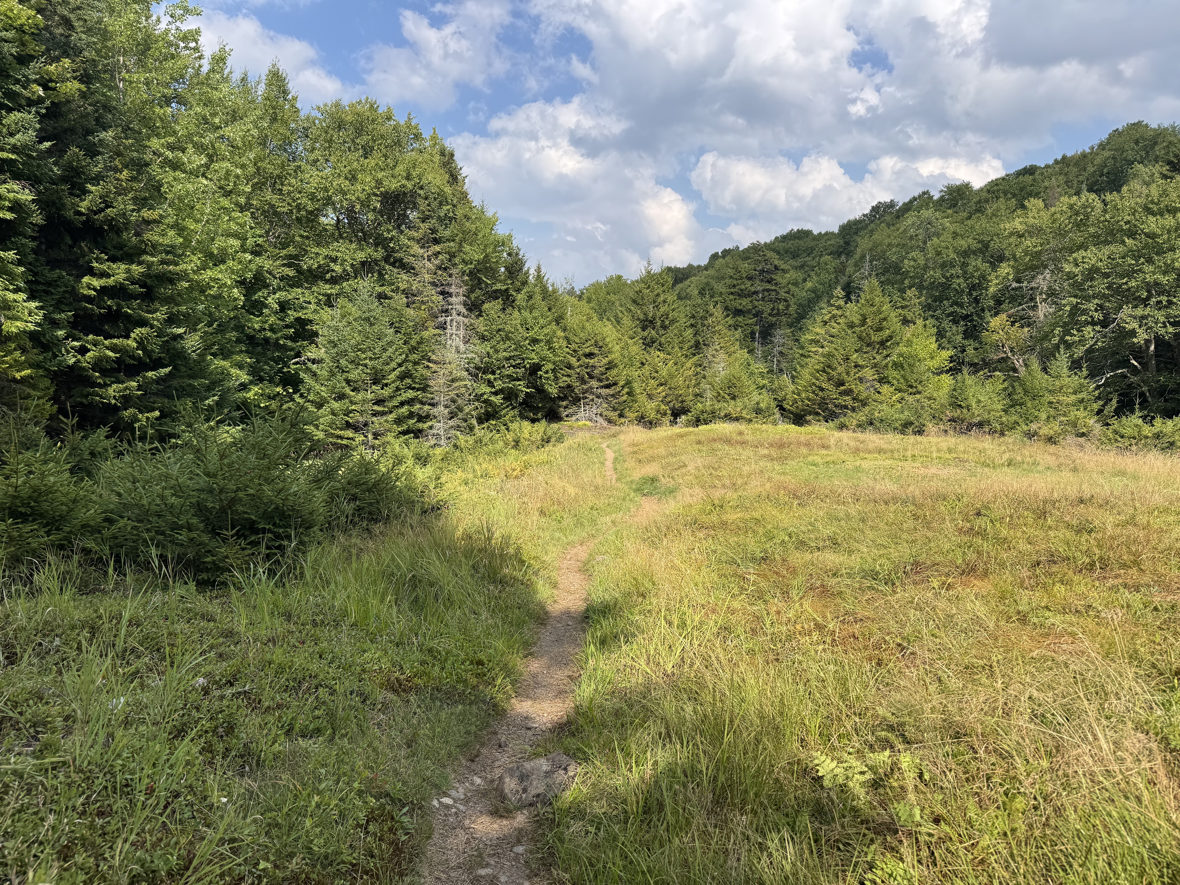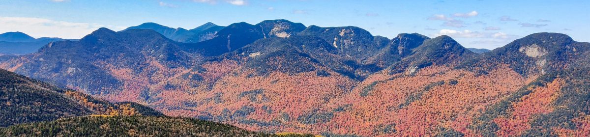
Donaldson (33), Emmons (40), and Seward (24)

10/3/2025

Somehow September slipped by without a SINGLE high peak adventure, so when peak foliage and beautiful weather aligned, I just had to get out there. Next up on my list – the Seward range. I’d already summitted Seymour a couple years ago to get it out of the way (it was actually a lovely hike but I didn’t want to end up orphaning it, so I did it first!). Now I am fond of loops over out-and-backs, but when I asked around for suggestions on whether to go clockwise or counter clockwise, so many people strongly recommended that I go up and down via Calkins brook that I decided to trust them.

I rolled out of bed at 4:45am, hit the road at 5, and reached the trailhead at 7:45am. Pulled my boots on, threw my pack on my shoulders, and signed in at the register at 7:55am.

At around 36 degrees F, it was brisk, but not cold. The last several weeks have been a drought, and I was hopeful that this notoriously muddy range would be dry. Or at least….drier.
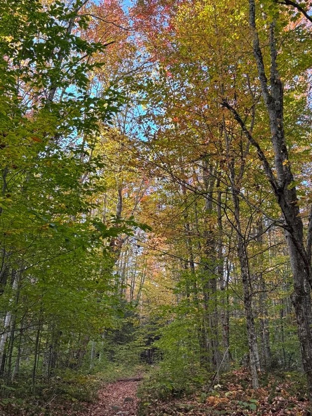
The walk in to the base of the range is wide, flat, leaf-strewn – an excellent way to warm up before the big climb. After 35 minutes, I reached the junction 1.2 miles in, with a gated drive on the left. I turned right to head to the next junction 0.2 miles away.

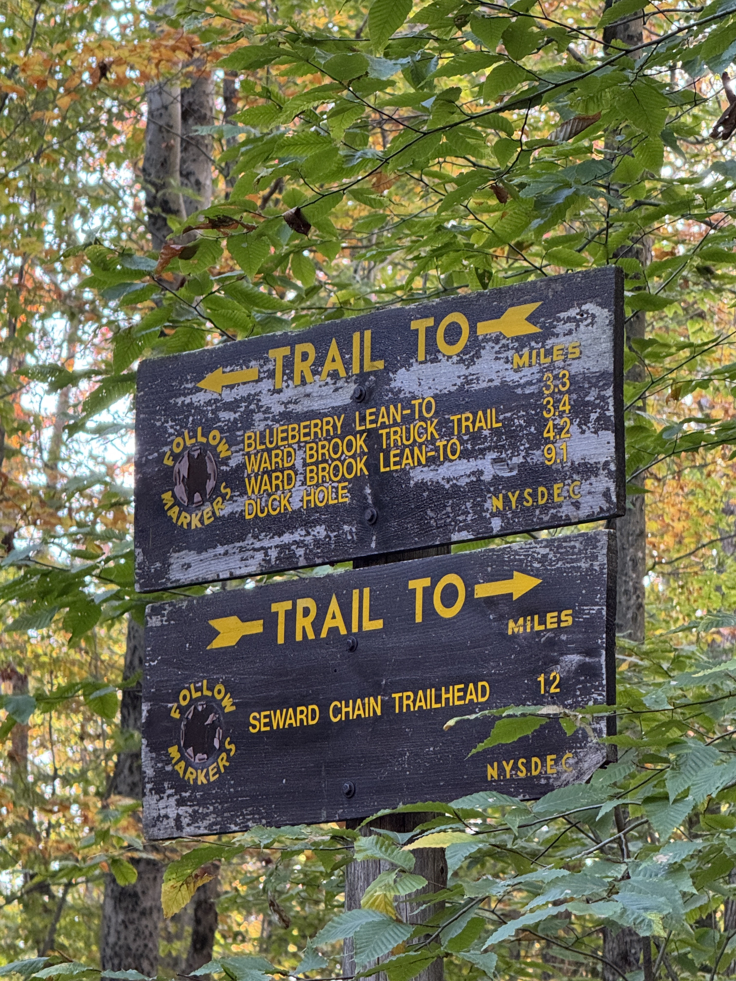
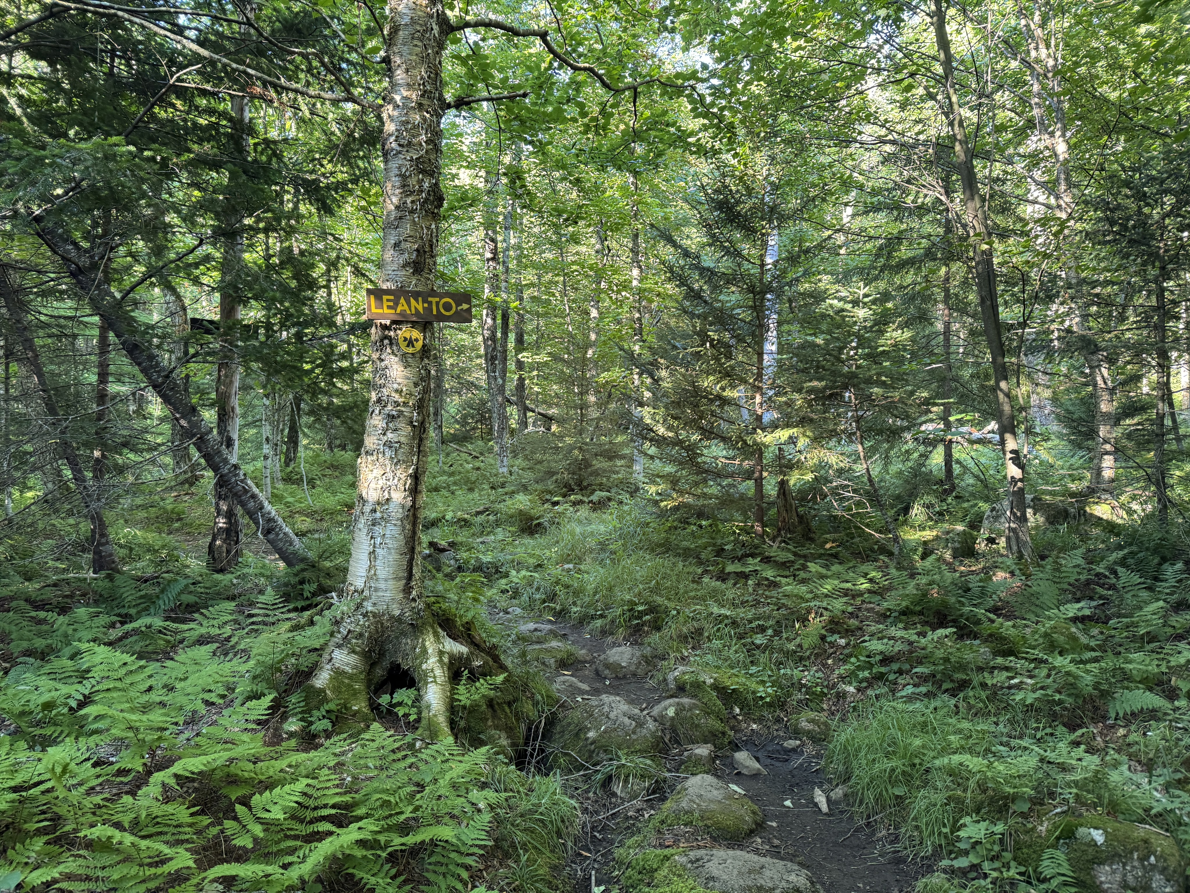
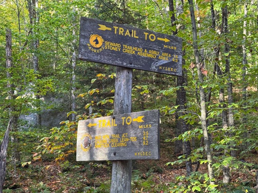
I was on the path less than 5 minutes before I reached the next junction, and continued straight towards the Calkins Creek Lean-tos.
I had a lot of time to think on this trail. The path itself requires no thought – no careful planning for where to plant my feet, no attention paid to avoid wandering off trail, not even to think about being out of breath from any ascent, because there was hardly any. It was actually on the verge of being boring – but I listened to the birds and felt gratitude swell in my heart for every day that I’m able to do hikes like this and connect to nature in a way most people will never get to do.
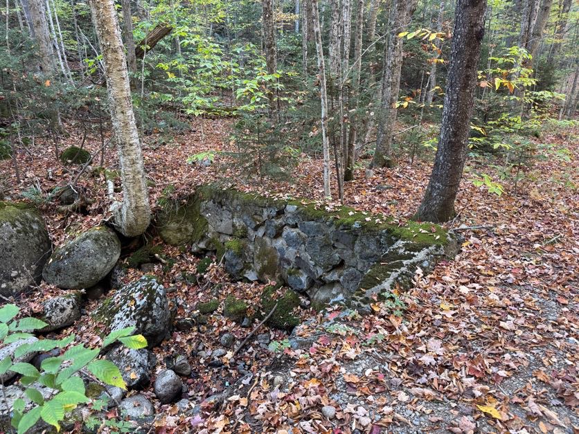
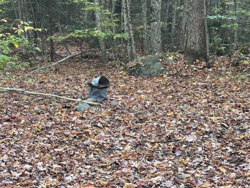
I snapped back to attention a few times to remind myself that the path up to Donaldson is unmarked, so I’d better pay attention so I wouldn’t miss where it might branch off! I estimated the junction to Calkins Brook must be about 2 miles from the last junction but I didn’t know how it might be marked. Fortunately, it couldn’t have been more obvious – a pile of rocks and a rusty bucket mark the junction, sat practically in the middle of the path.

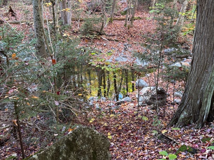
I turned left at the bucket to see my first look at Calkins Brook at 9:15am.
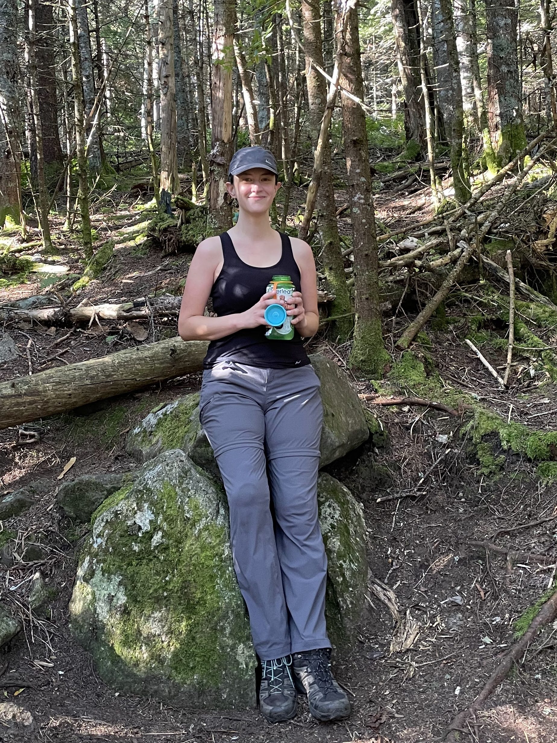
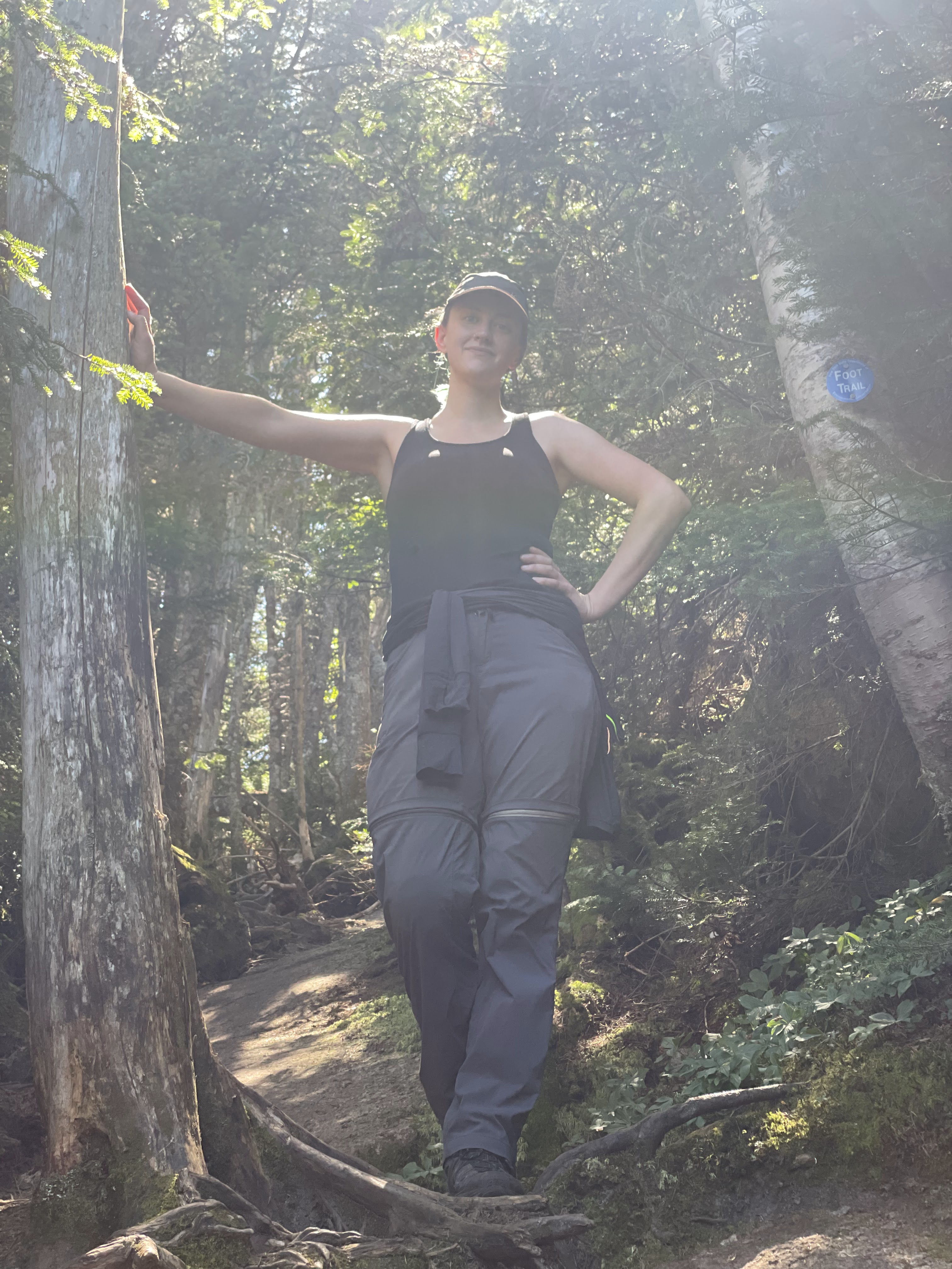
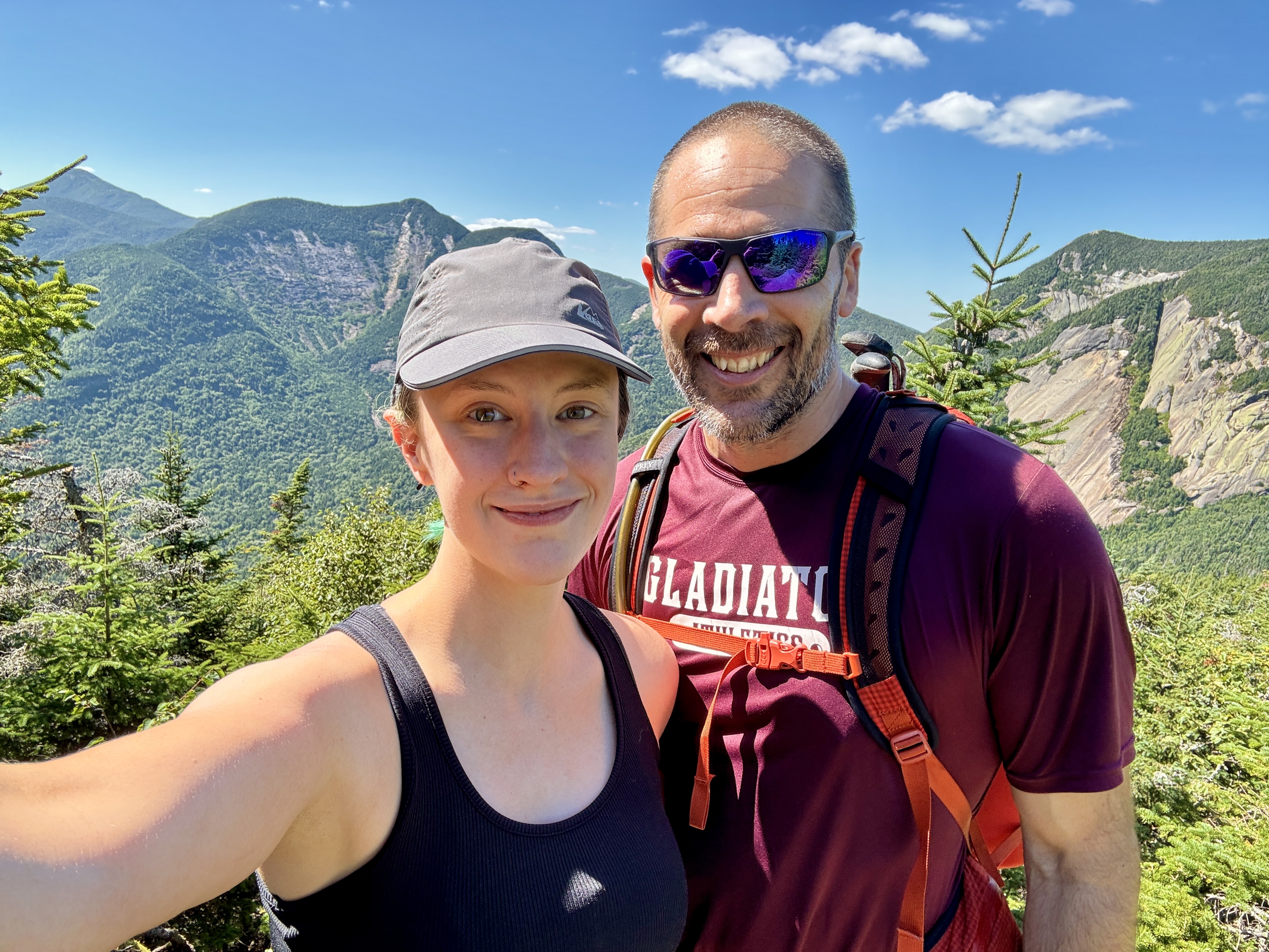
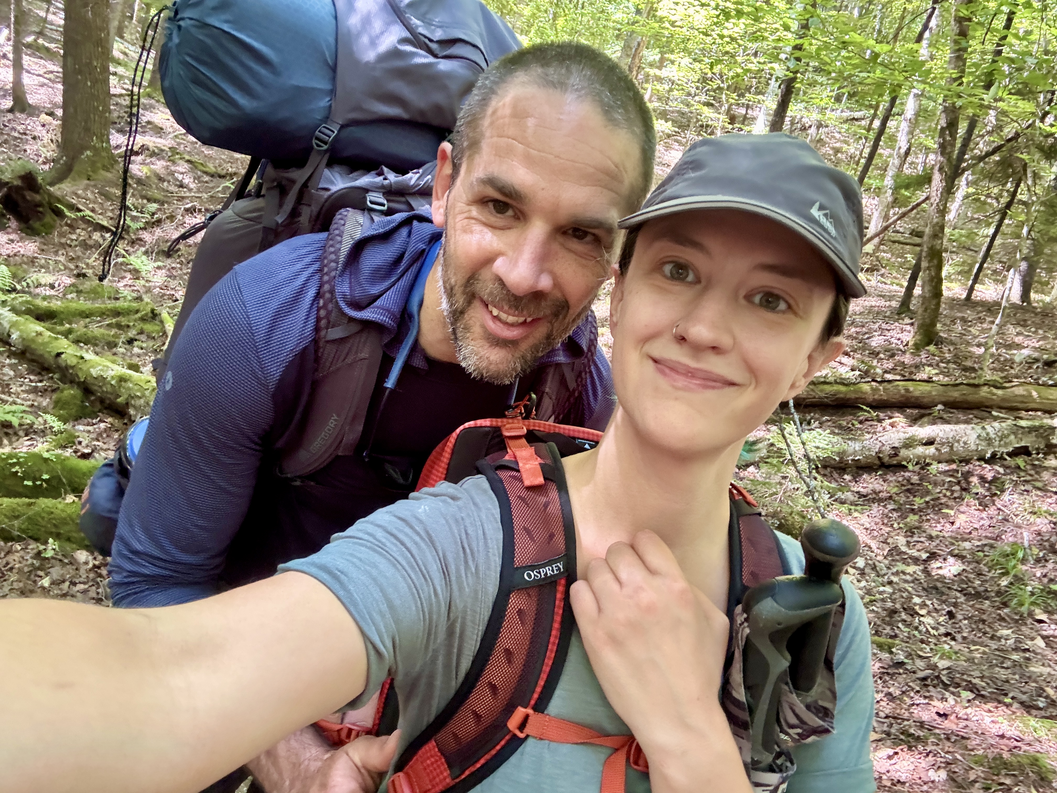
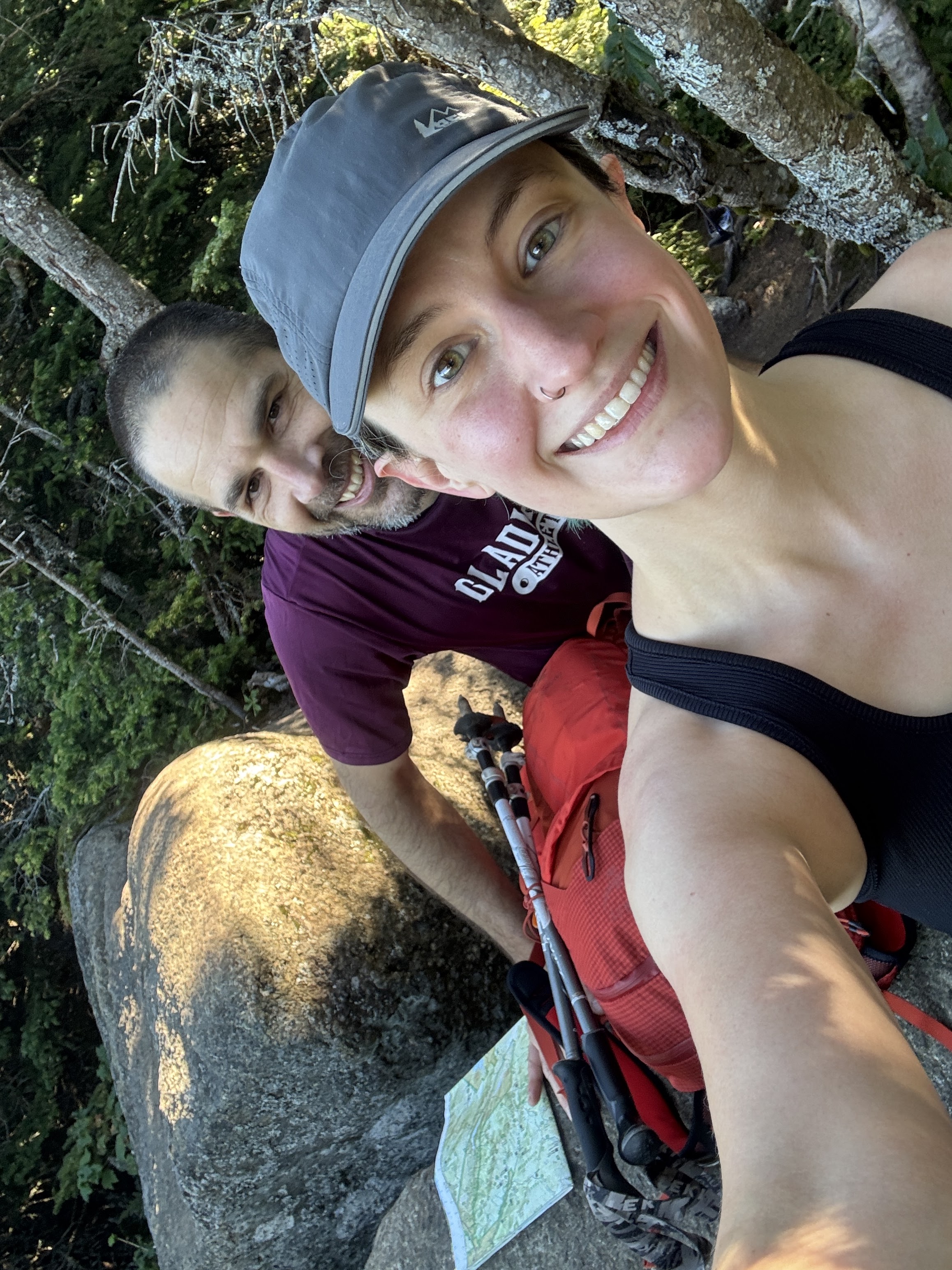
I still hadn’t encountered anyone at this point and I was enjoying my solitude. Enjoy the last selfie before my hat went on – once it goes on, it’s not coming off again for everyone’s best interest.

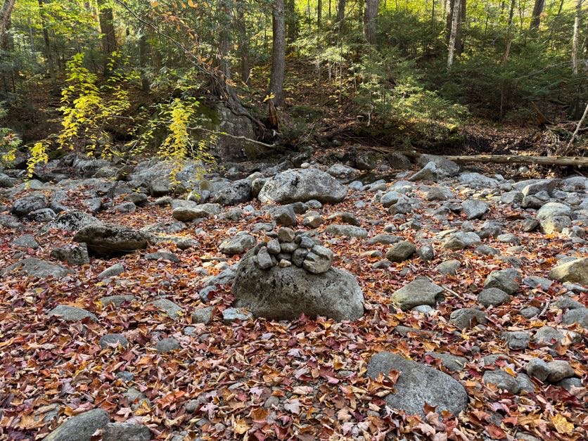
Just 5 minutes later, the trail seemed to cross right into the brook. A cairn indicated that this was indeed the right way, but I was a bit skeptical – it’s a small cairn so I wasn’t sure if it really did mark the way, or if someone just stacked some rocks there. (Don’t stack rocks btw! Read why here: https://www.ausableriver.org/blog/leaving-no-trace-rock-stacking). I investigated the surrounding area and determined that this was the right way to go, so across I went.
On the other side of the stream, there were a number of places where I suddenly found myself off trail. If you’re not accustomed to hiking unmarked trails, this area could prove dangerous. I walked slowly here to keep an eye on the path right in front of me but also on the big picture, to identify where the path went.

A few tips for anyone hiking unmarked trails like these: look for signs of feet having trod over the ground – packed earth, crushed leaves, dirt smeared over rocks – as well as sticks and branches lying across part of a path. Don’t just step over those if you see them – they’re telling you that’s not the right way to go.

As the path began to climb, I heard men’s boisterous voices to my left by the stream, getting quieter with every step I took. I assumed they’d either camped nearby or decided to take a break and filter some water.
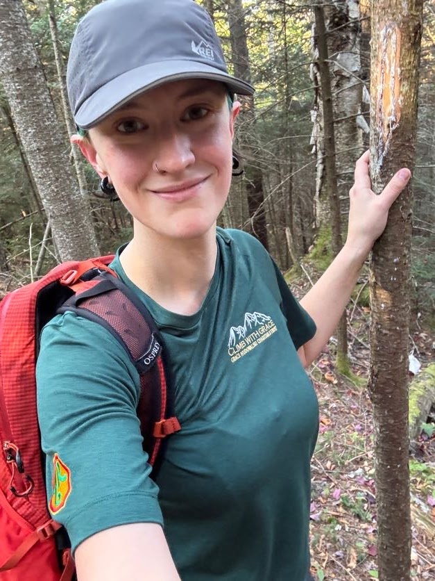
Aaaaaand the hat is on! It definitely saved me from at least 1 large spider landing directly on my head, as I put it on not a moment too soon.
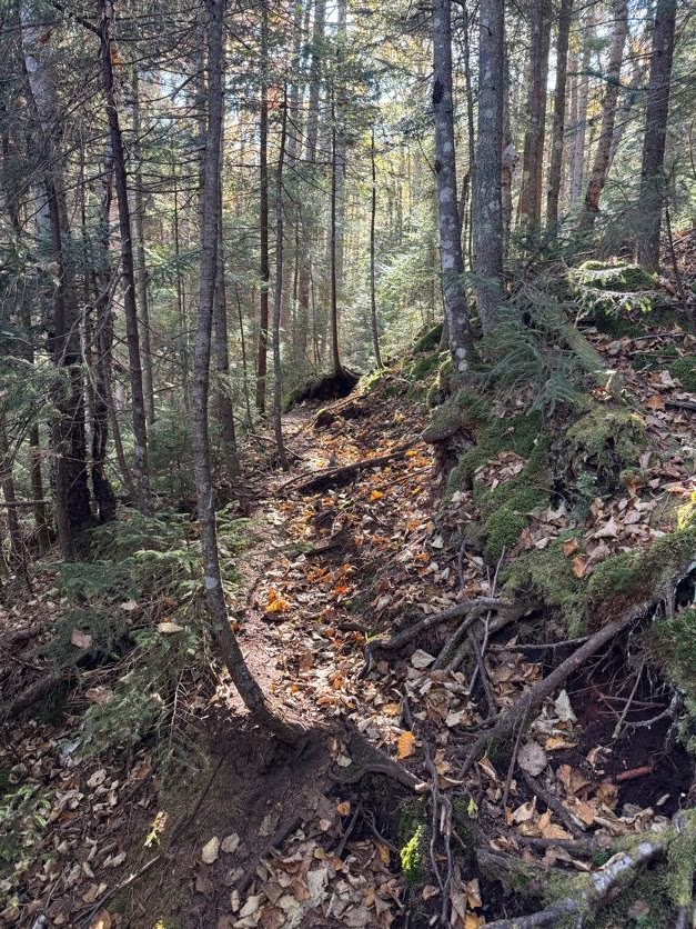
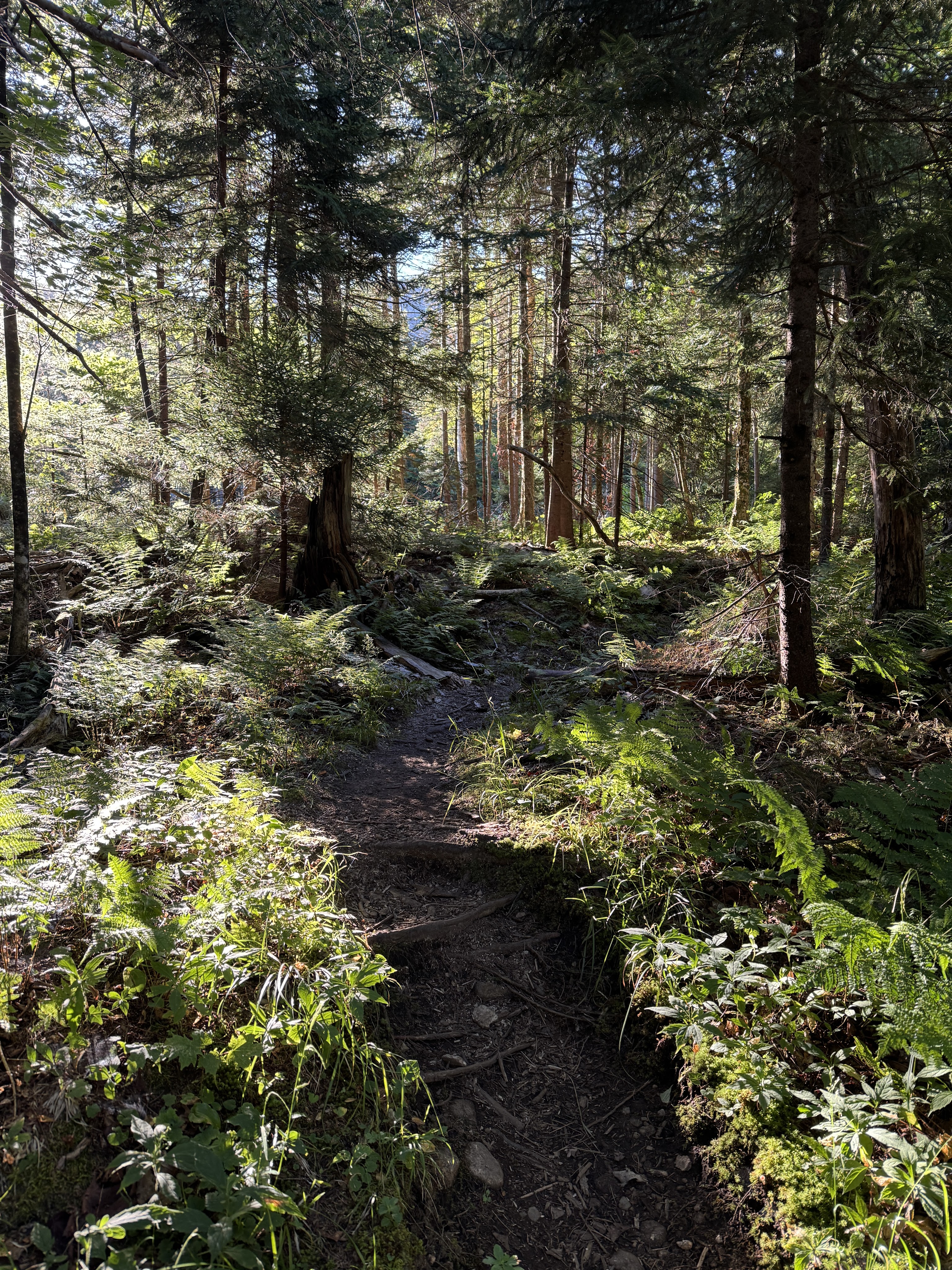
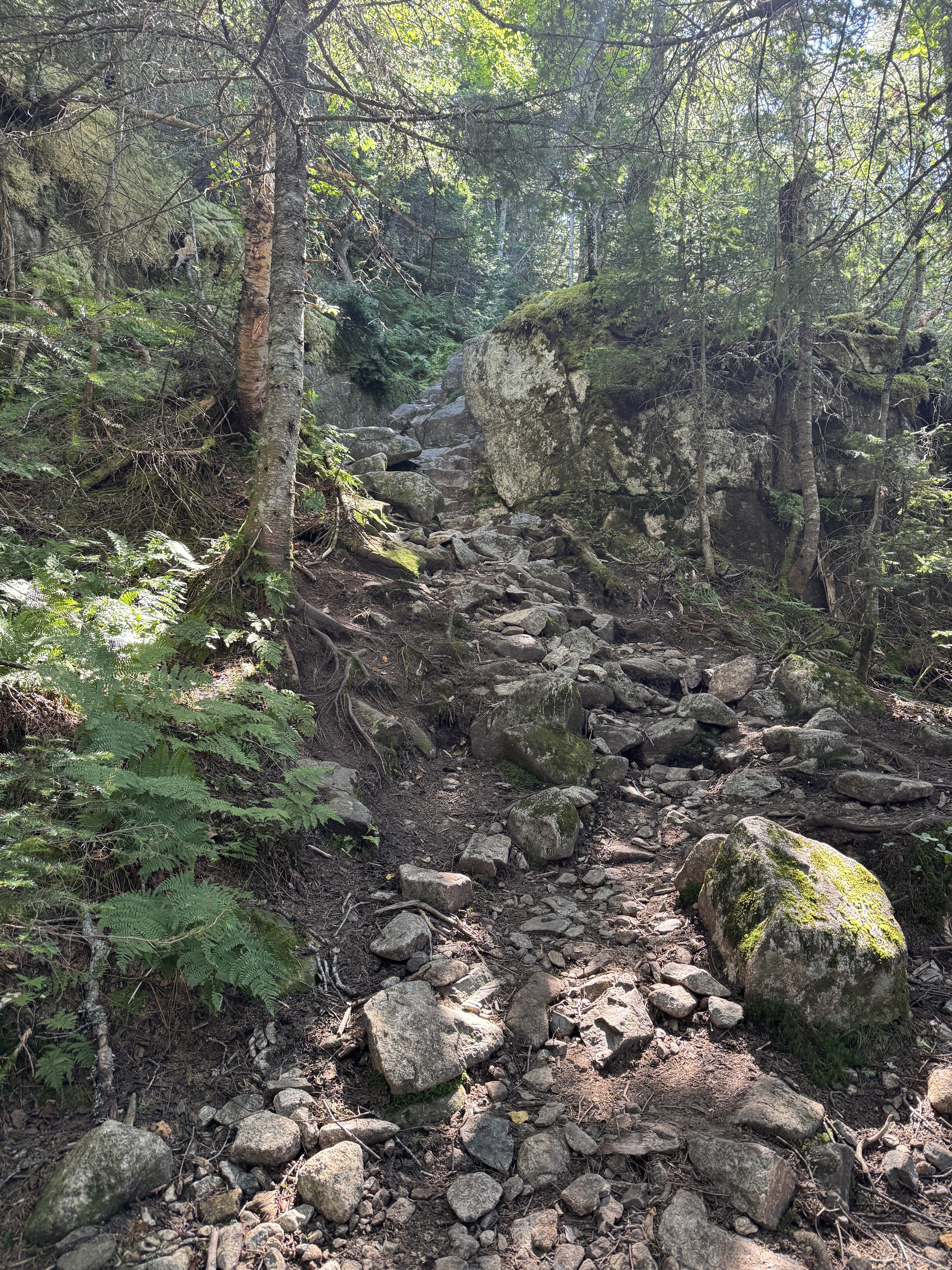
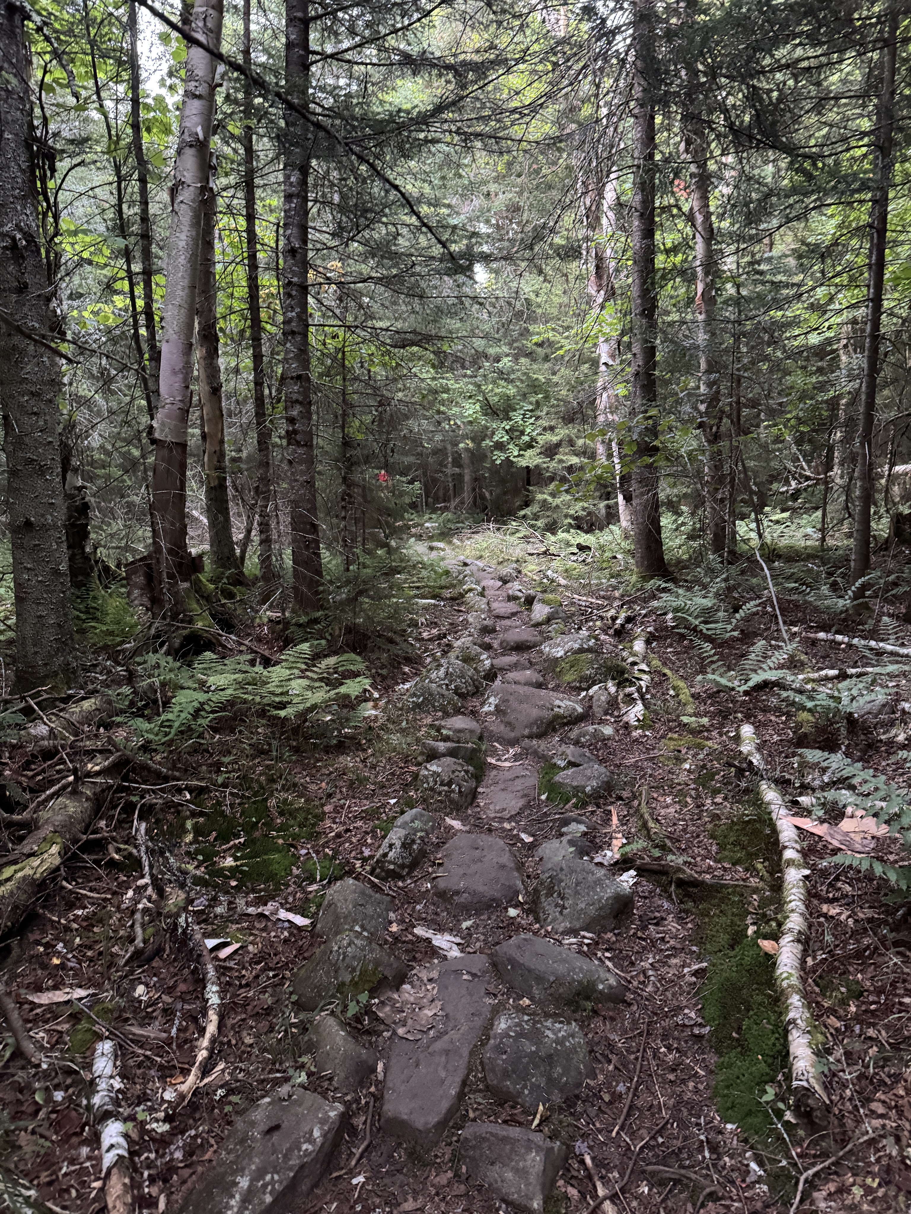
For an unmarked/unmaintained trail, this one was in great shape so far. No mud, hardly any rocks, and not terribly eroded. It was such a pleasant walk with the morning light filtering through the trees.
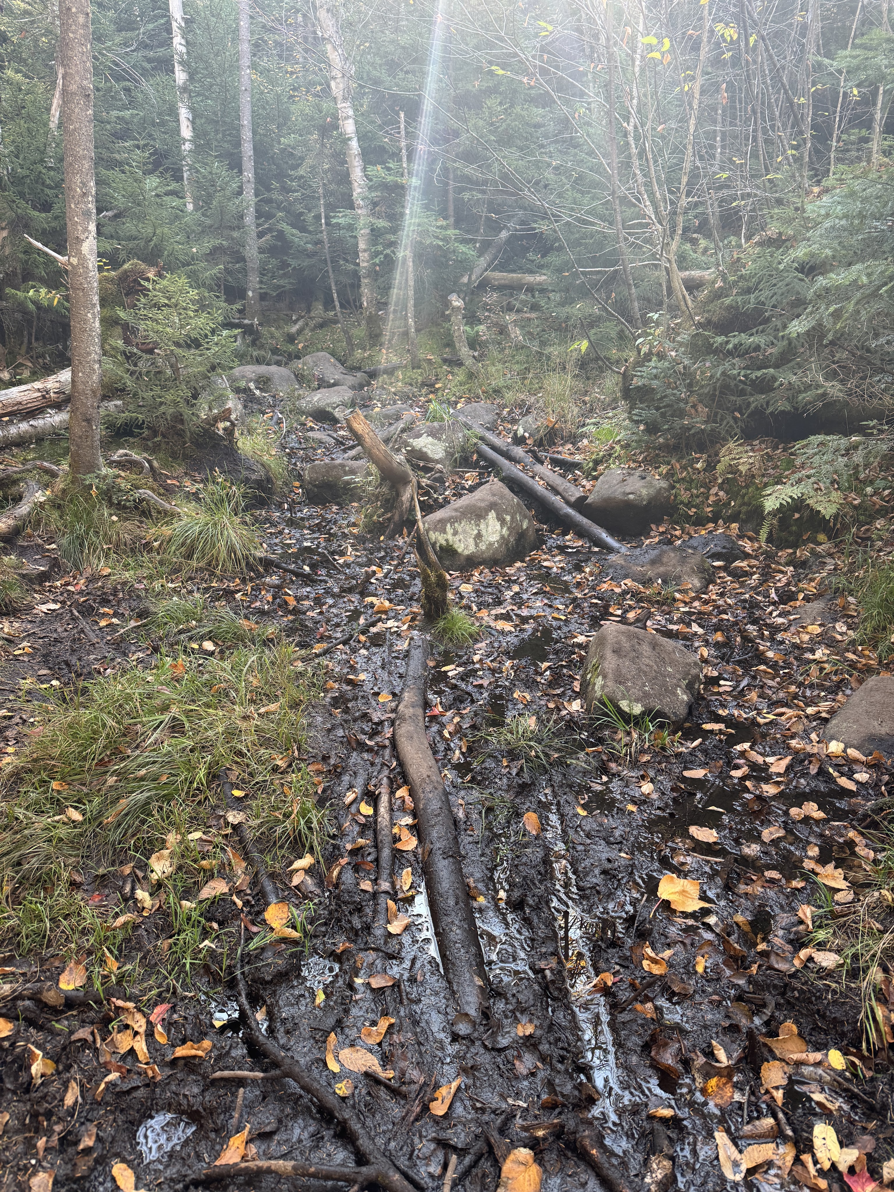
Well…there was some mud. But it was pretty navigable!
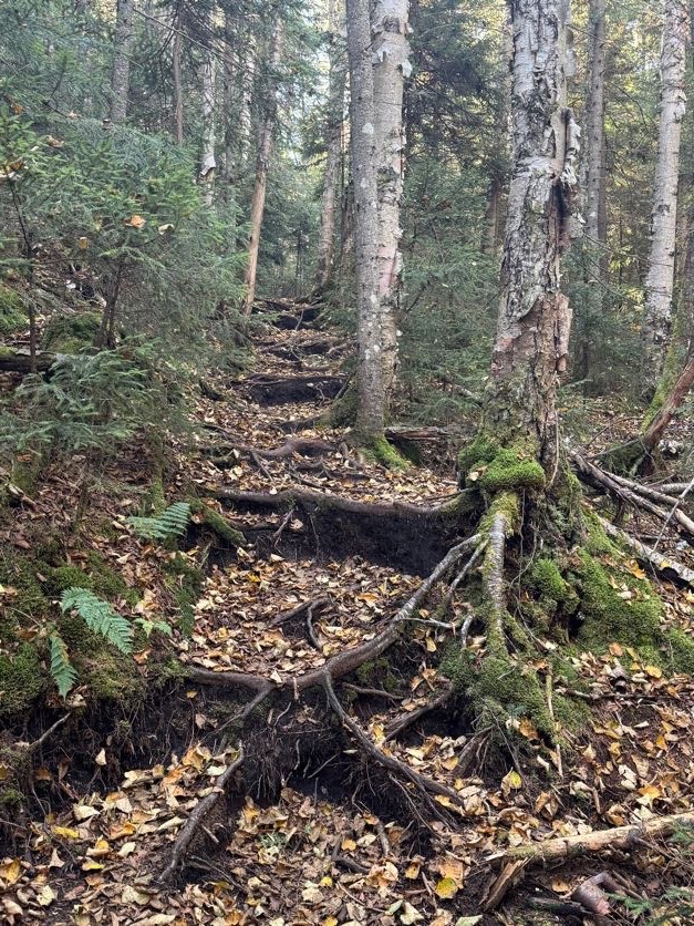
This was going to be a long day, and somehow my strength is in the uphill sections when they’re not immensely technical, so I cruised right up without stopping to try to cover as much distance in as little time as possible while the going was so nice.
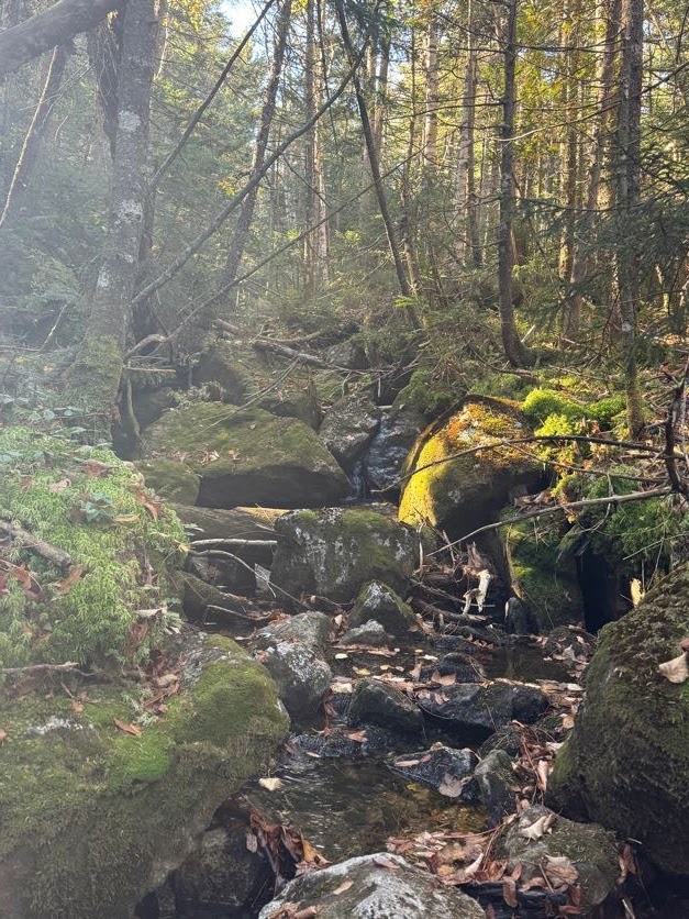
Of course there were some rocks, but overwhelmingly this is a dirt-and-root kind of trail.

At 10:50am, 1h 35m from the junction with Calkins Brook Truck Trail and nearly 3 hours from the trailhead, I crossed another stream and noted this one as a great spot to filter some water. I carried 2 L with me and had drunk maybe 0.75L so far, and I wasn’t keen to carry a bunch of extra weight across the range with me, so I decided to stop here on my way back down and crossed to the other side to stay on trail.
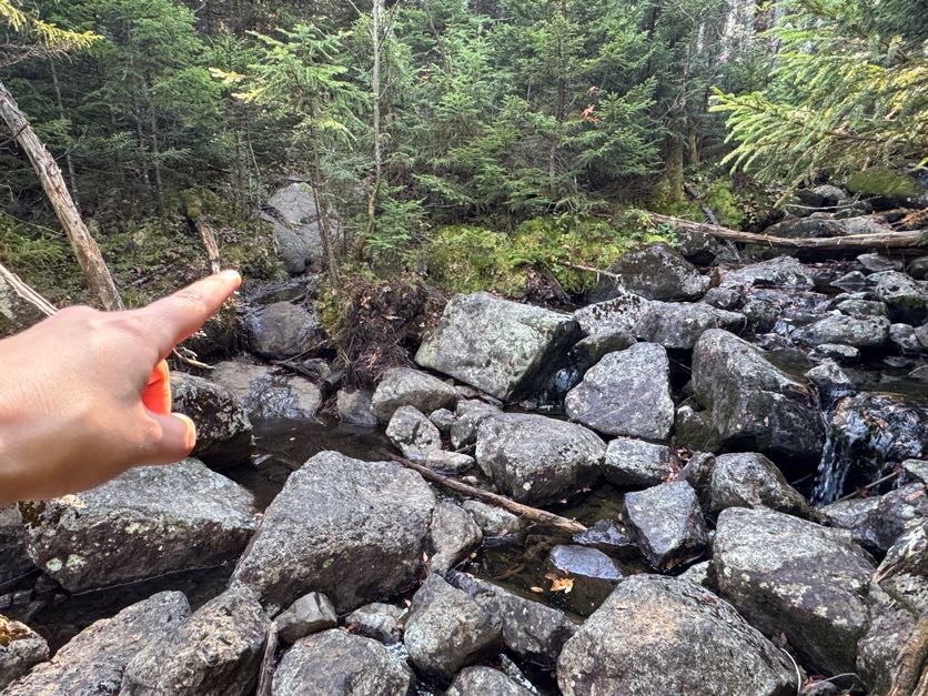
Here’s an example of some branches blocking the wrong way.
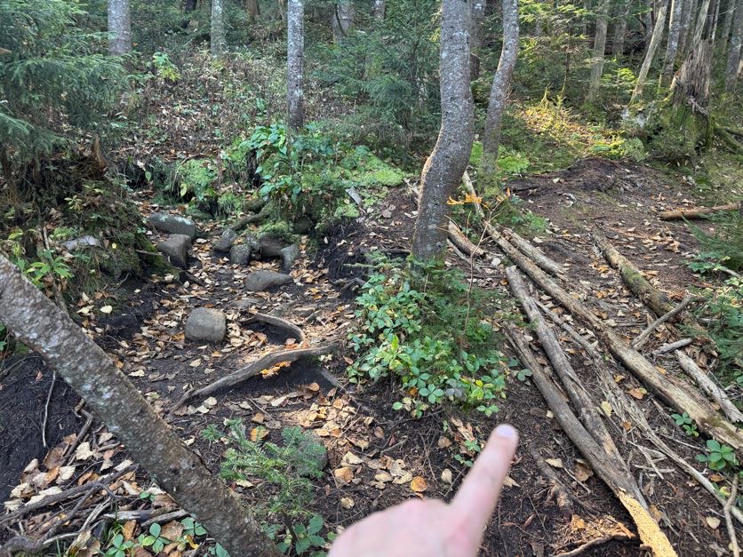
The downside of wearing a cap is you can be knocked out by fallen trees hanging across the trail, unless you happen to look up just in time to save yourself, and see a beautiful little green mini-biome while you’re at it.
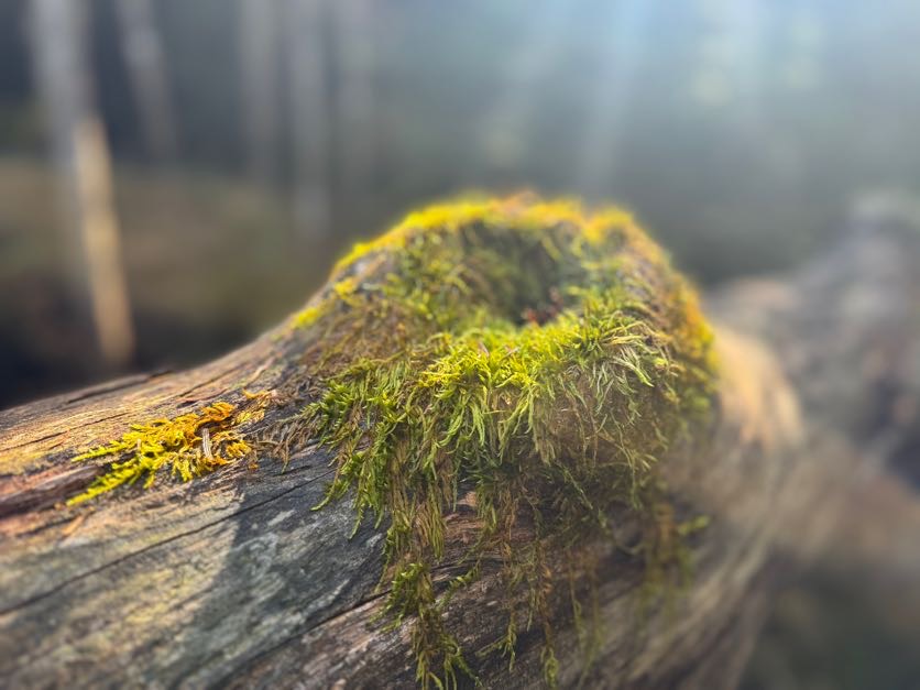
Oh how grateful I was for this forest – so often these unmaintained/unmarked trails are very narrow, rugged, and crowded with sharp scrubby evergreens that stab you when the weather’s dry and dump water on you when it’s not.
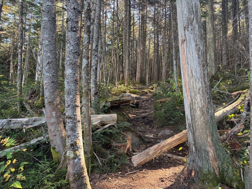
After crossing the last stream, the trail did get noticeably steeper, but it still wasn’t the worst I’d done by a longshot.
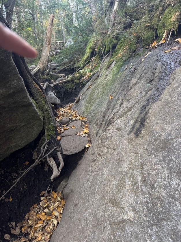
After just a bit of rocky steepness, I noted a little pile of rocks offhandedly before realizing oh! I’ve reached the junction! 11:20am; 2h 5m from the junction (~3 miles), 3h 25m from the trailhead (~6.5 miles).

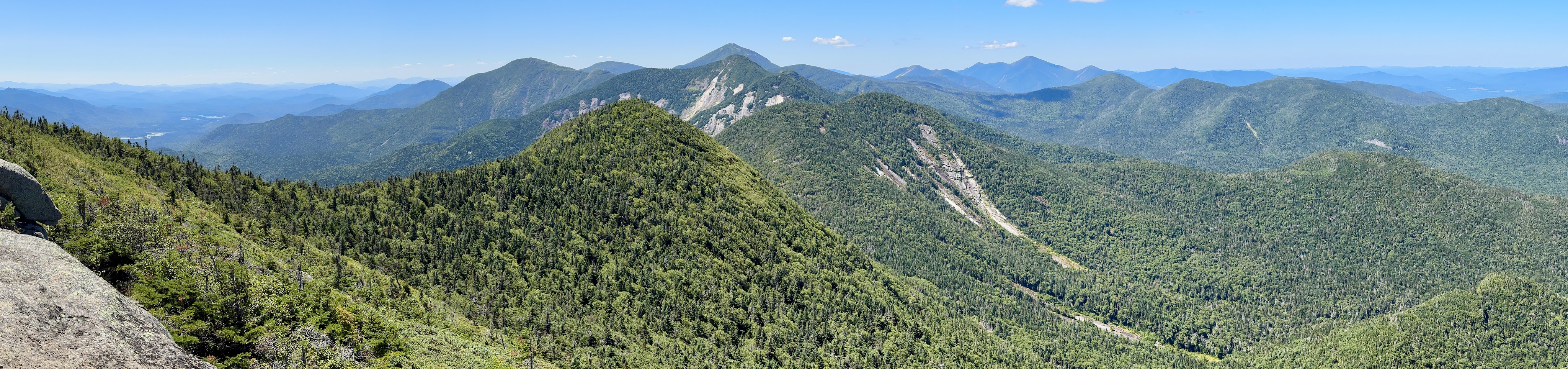
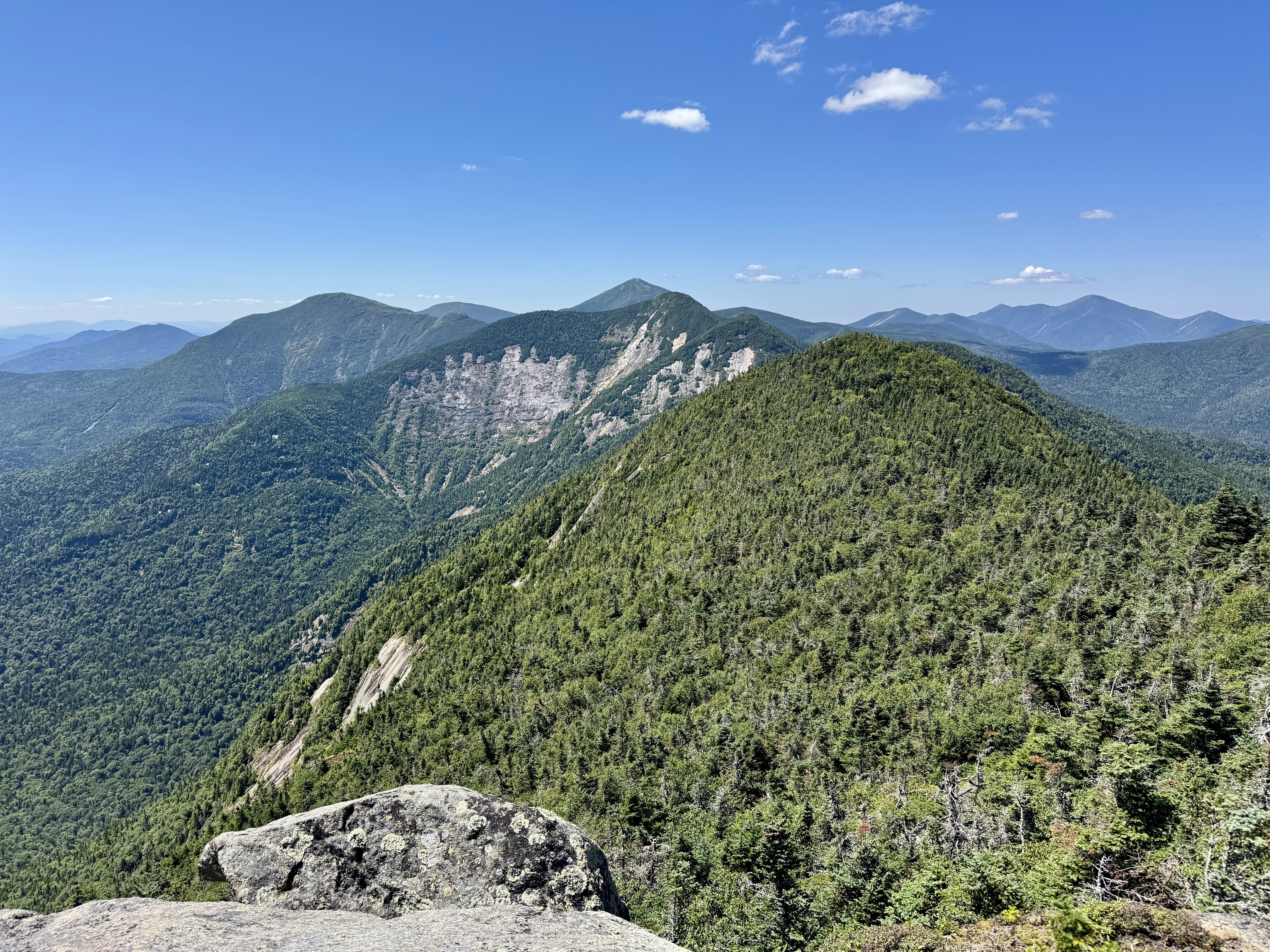
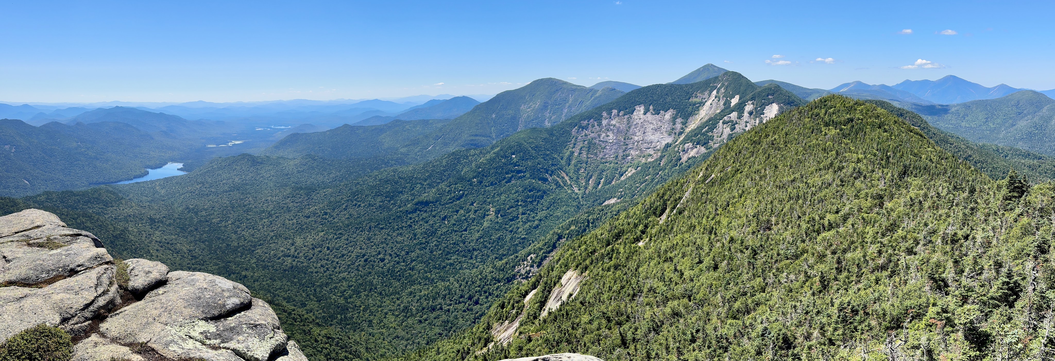
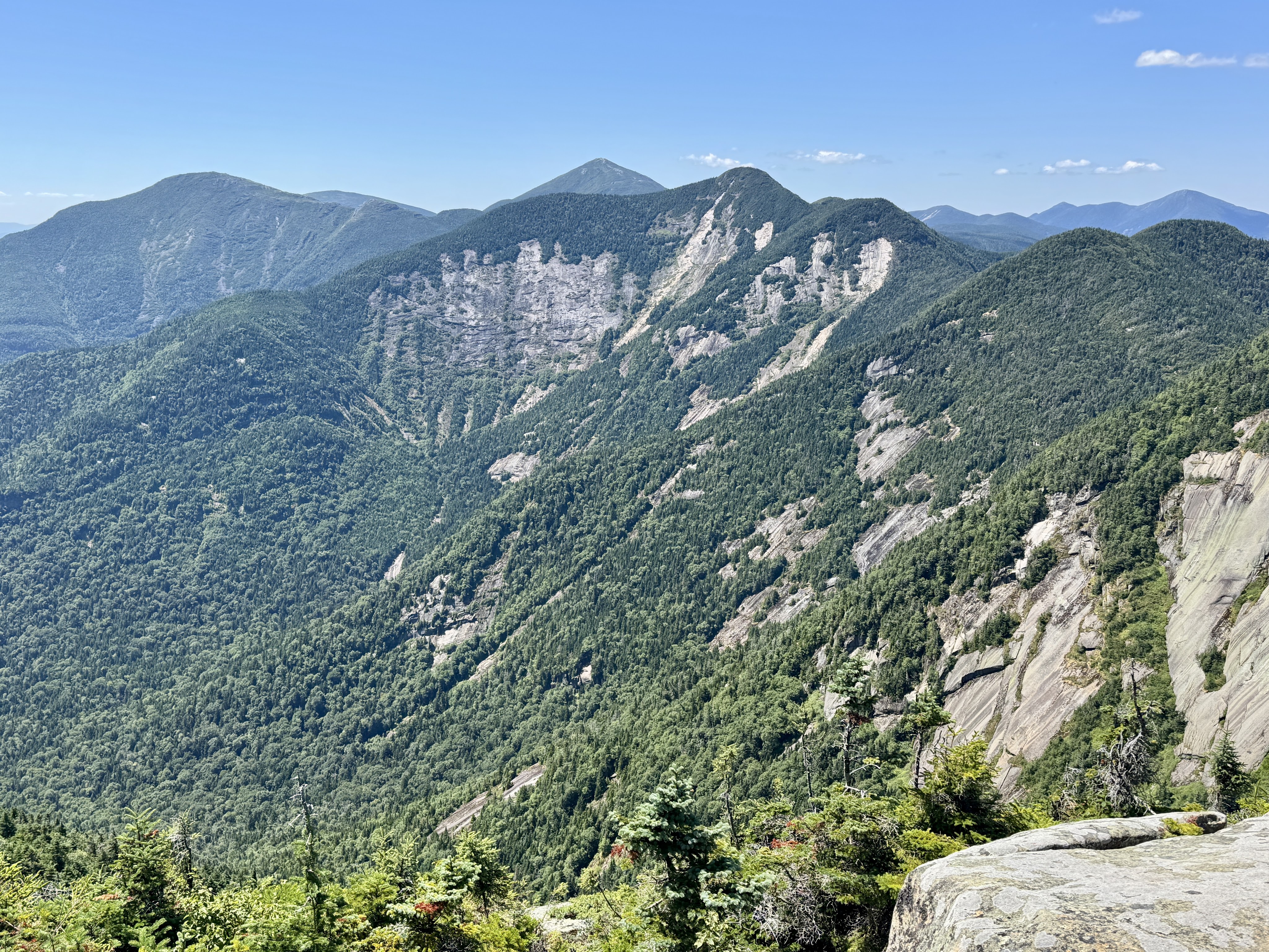
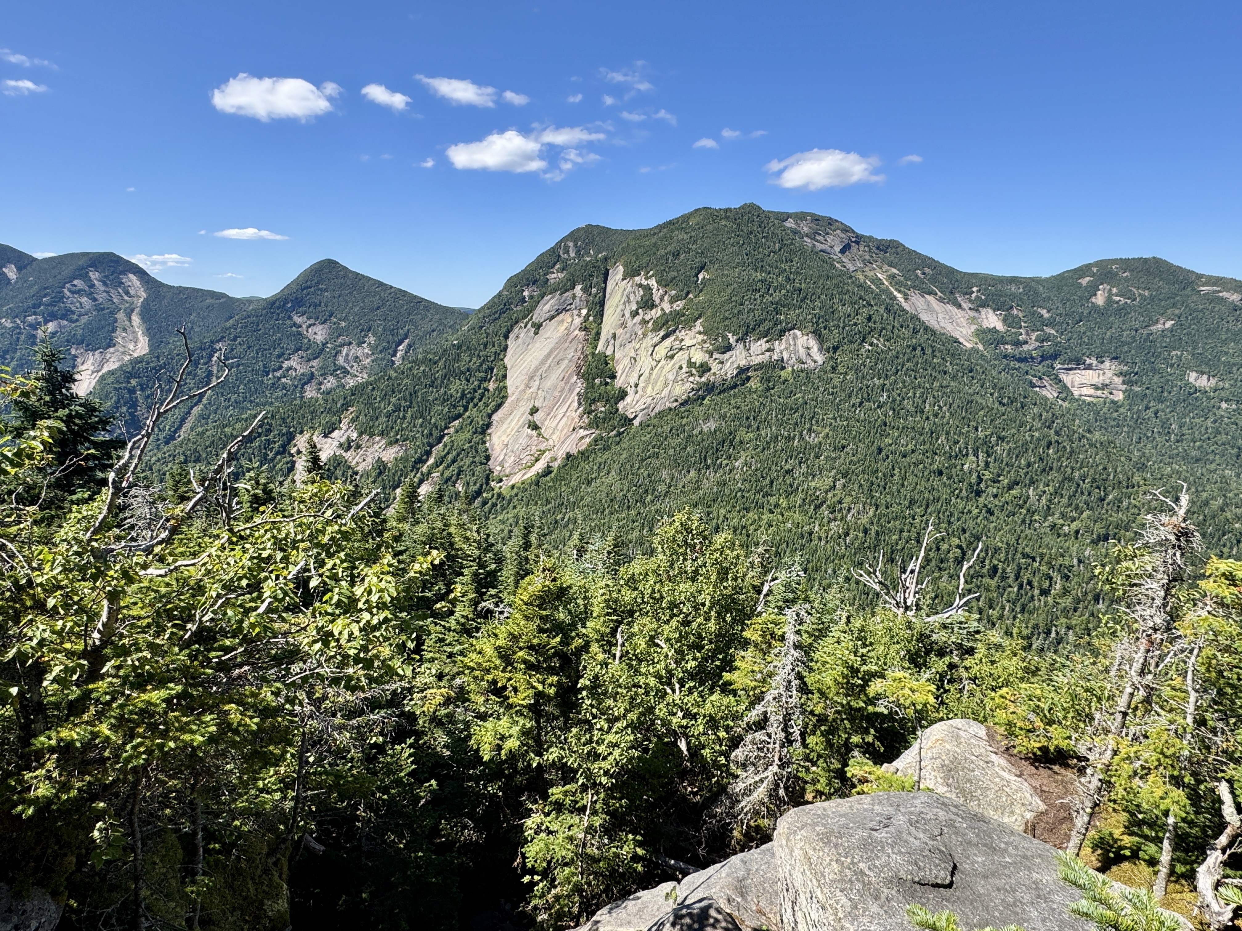
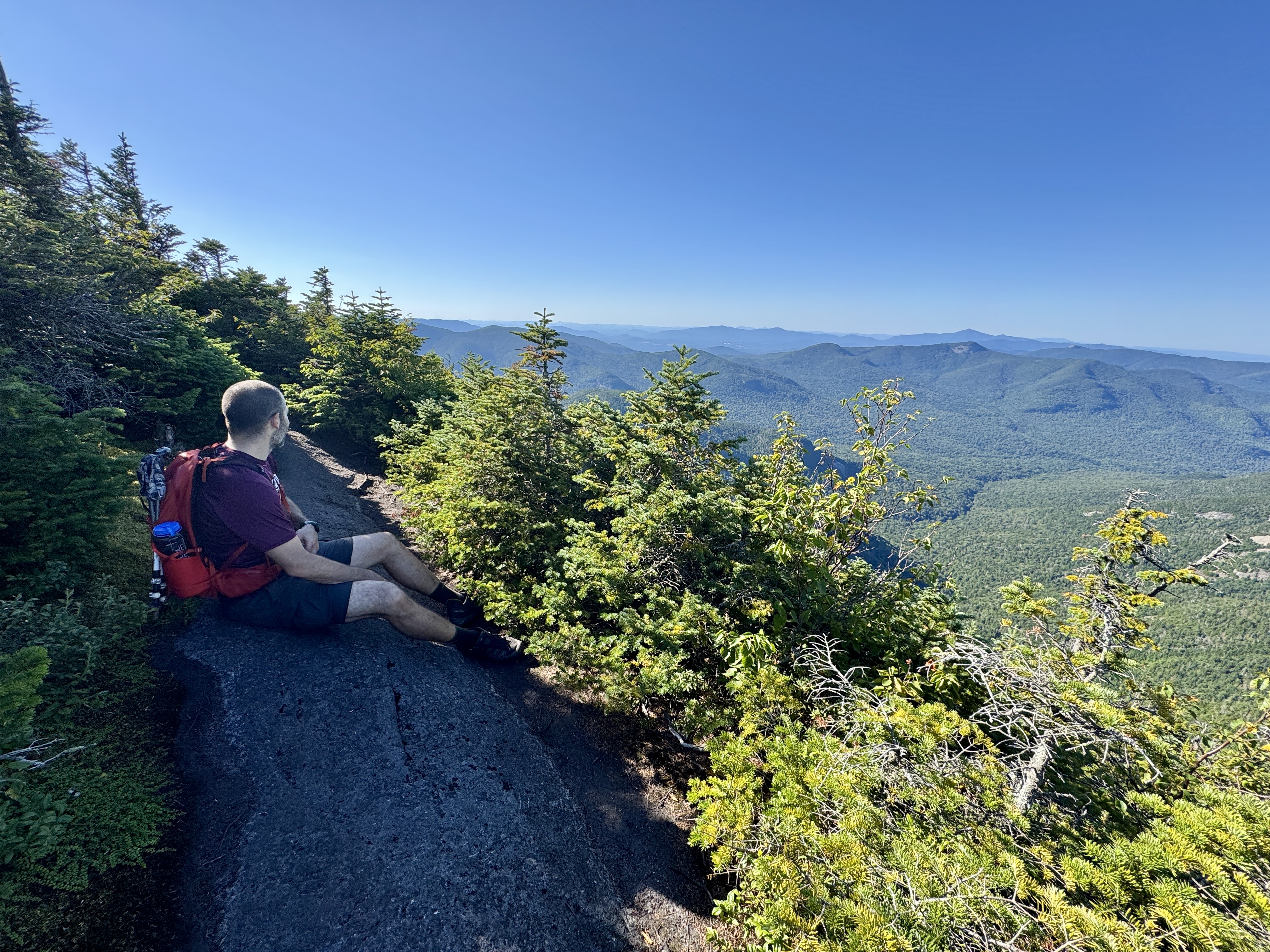
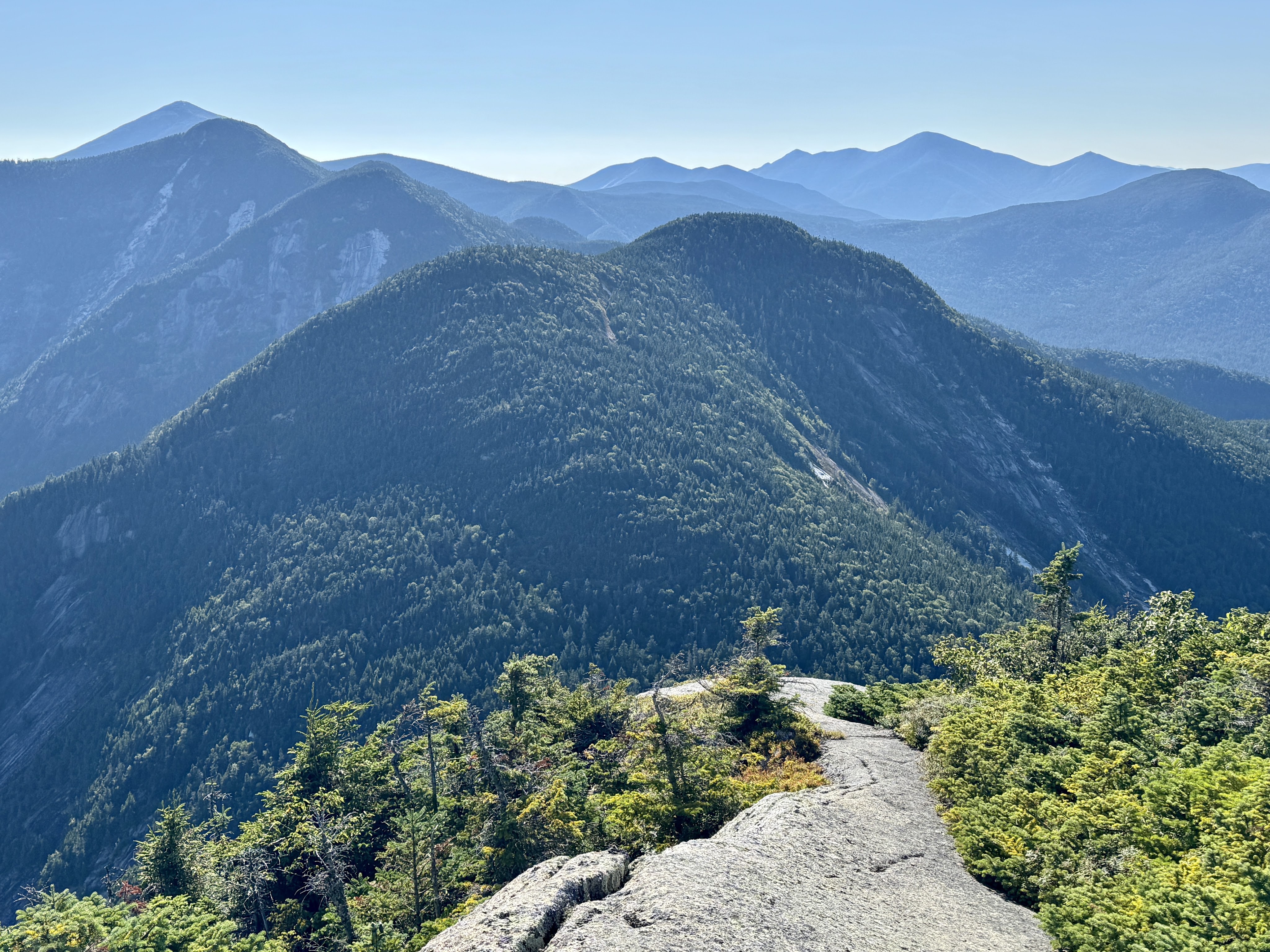
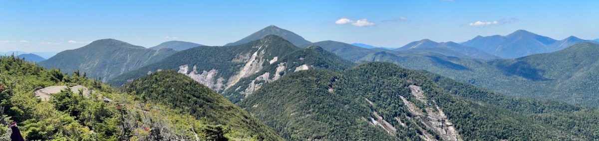
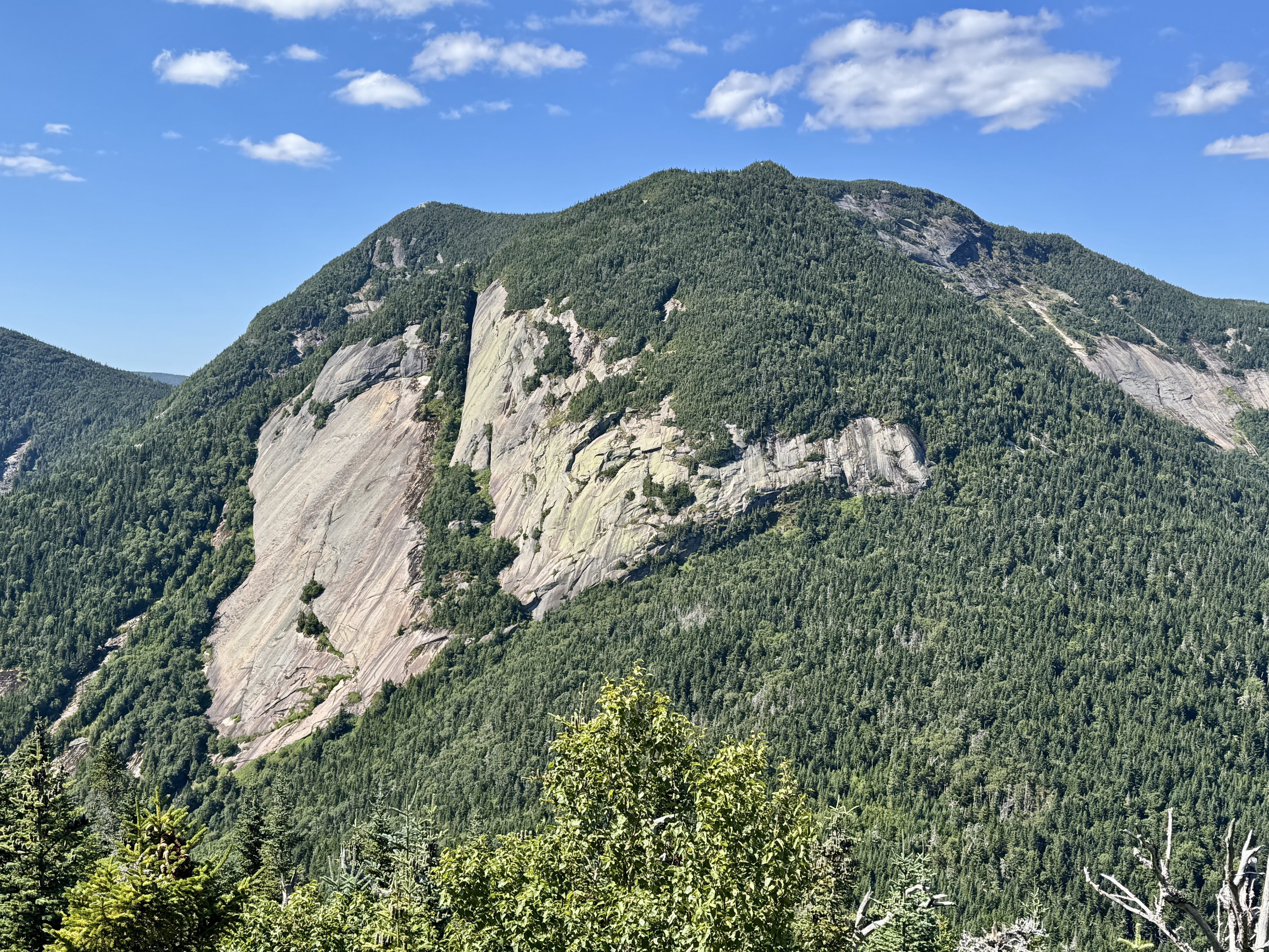
I went to the right to look for the true summit of Donaldson and head towards Emmons. On the way, I caught my first glimpse of Seward, approximately 158 miles away.
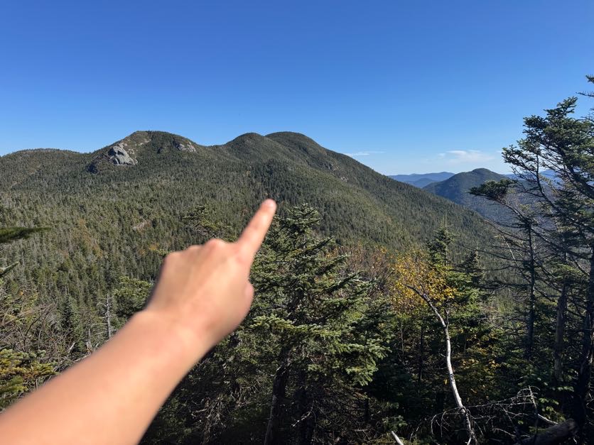
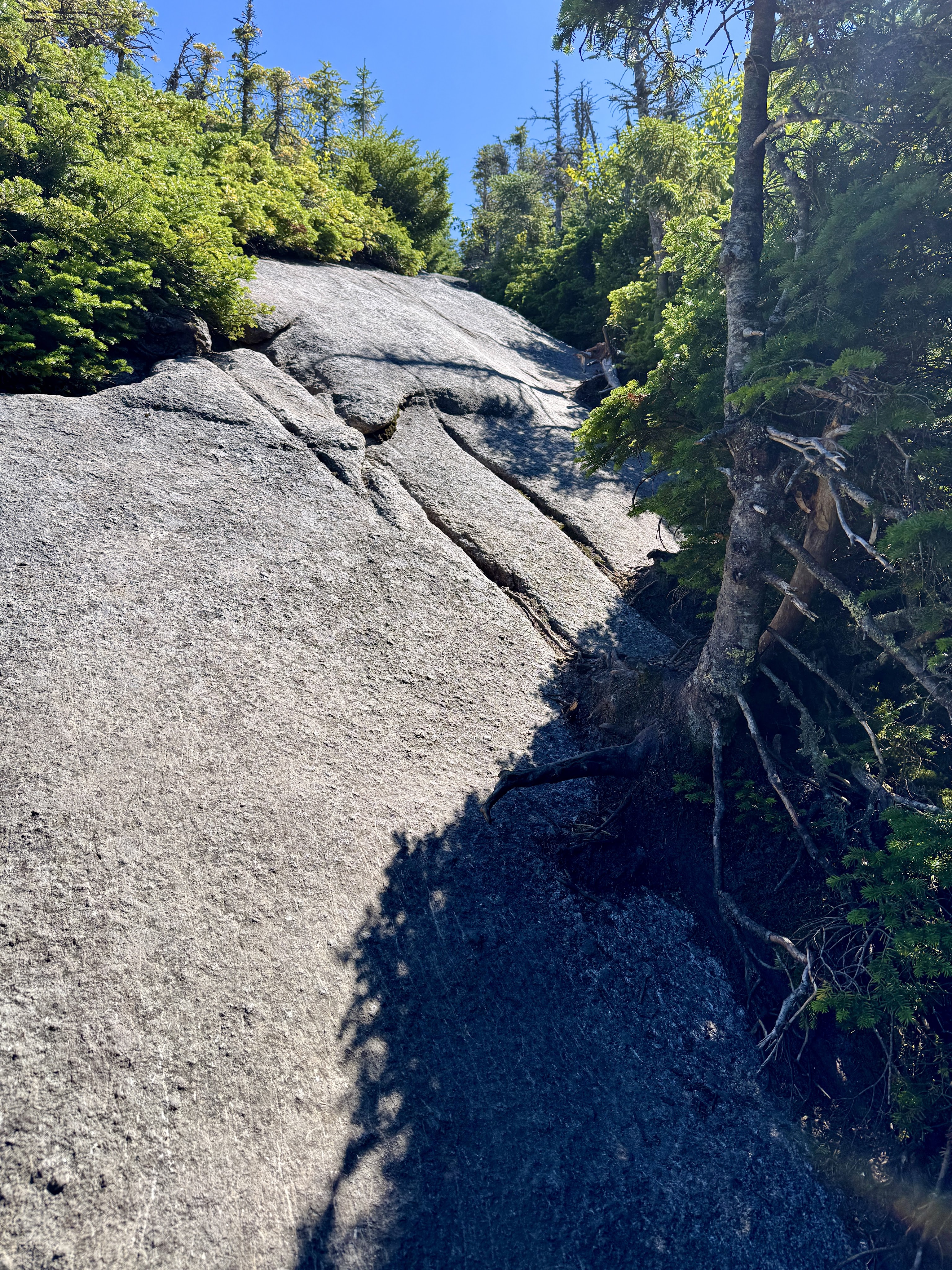
I scampered up some rocky slabs and trod along the path when I noticed a spur in the trail, and explored it to find a beautiful lookout.
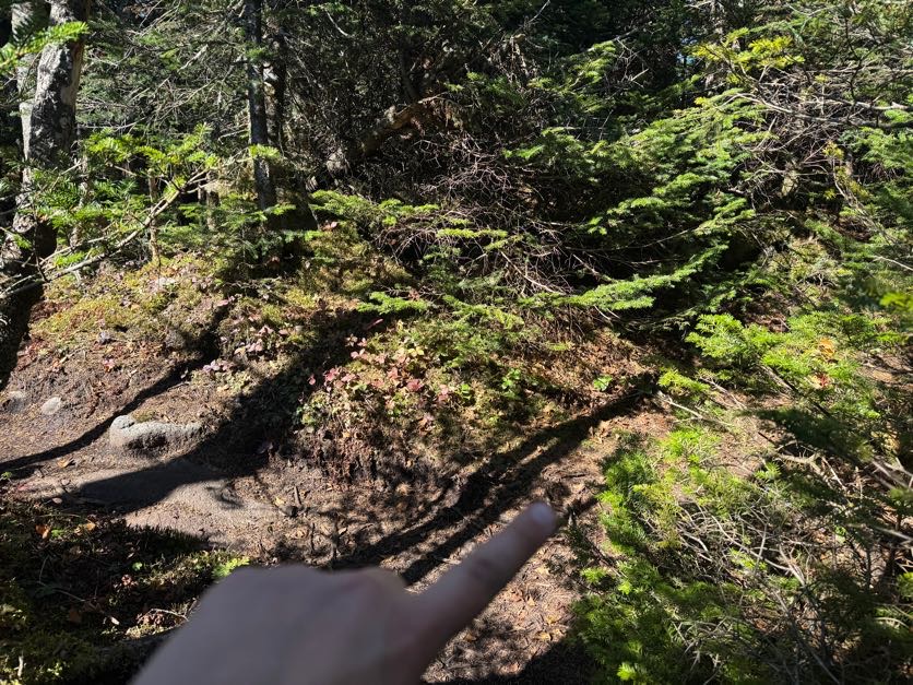
I wasn’t sure if this was the true summit or not, there was no indicator, but figured I’d take a picture just in case.
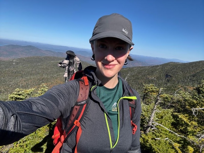
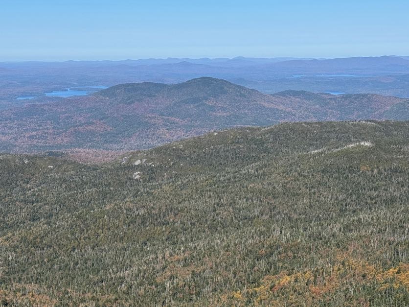
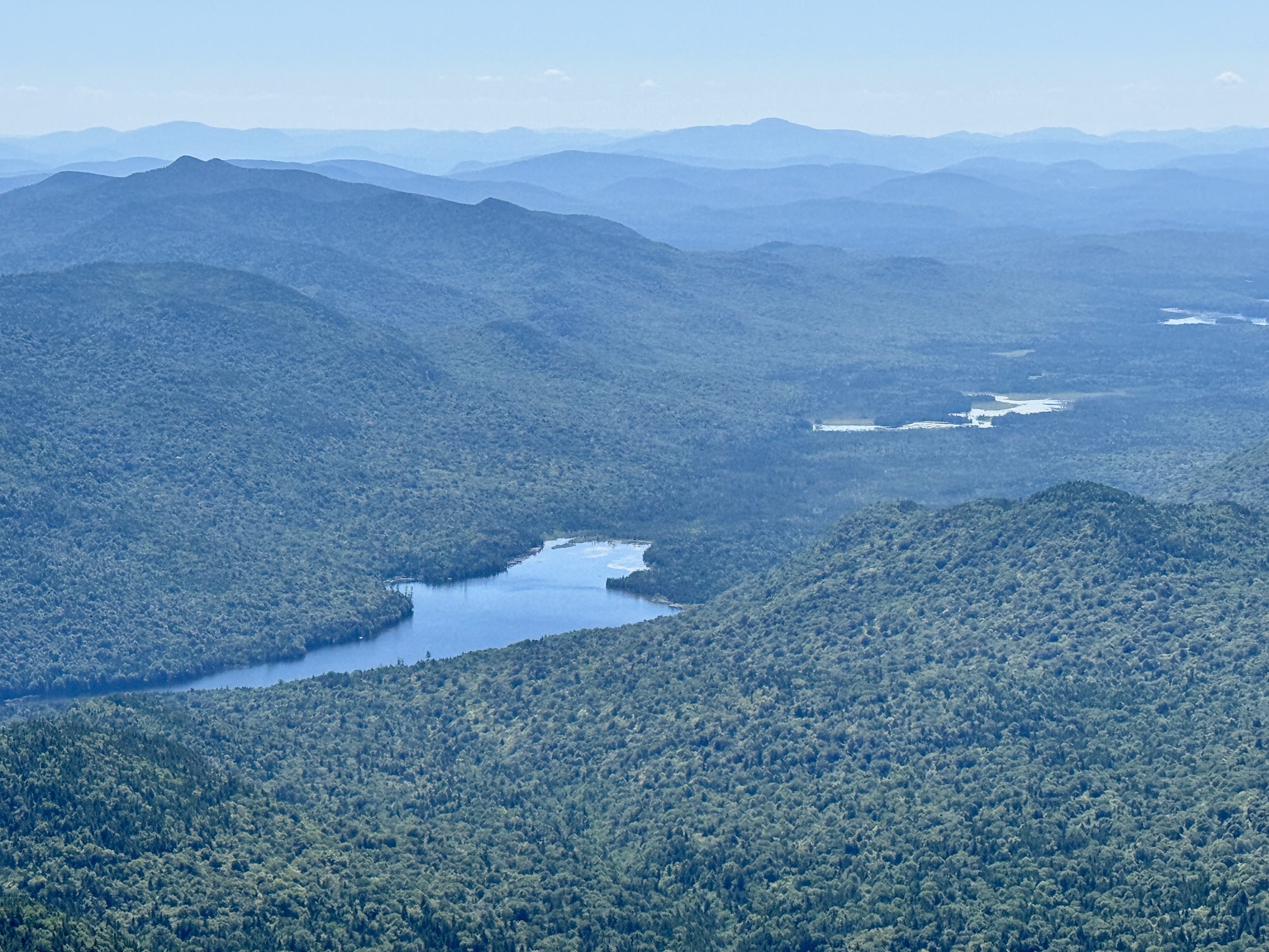
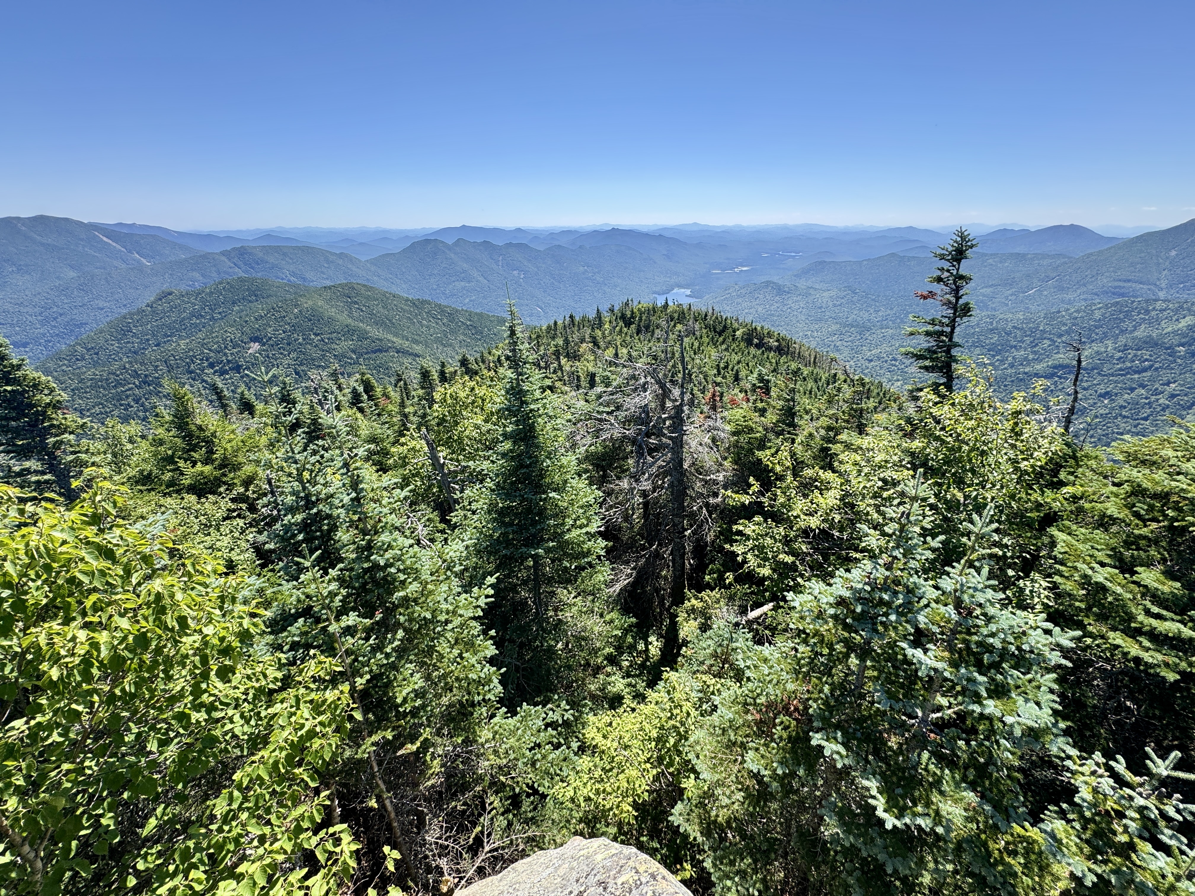
This was the definition of a bluebird day – not a cloud in sight, and excellent visibility.
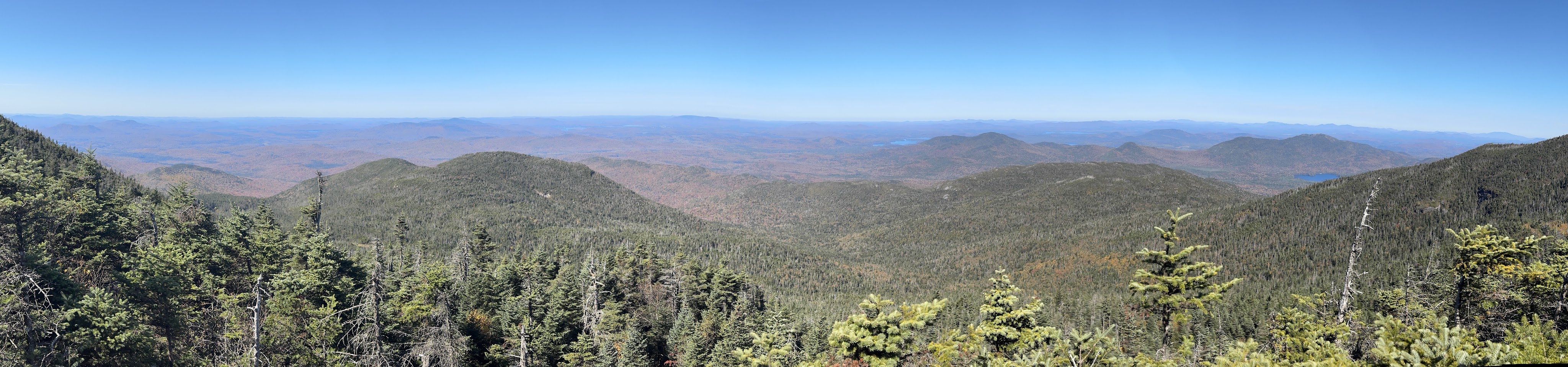
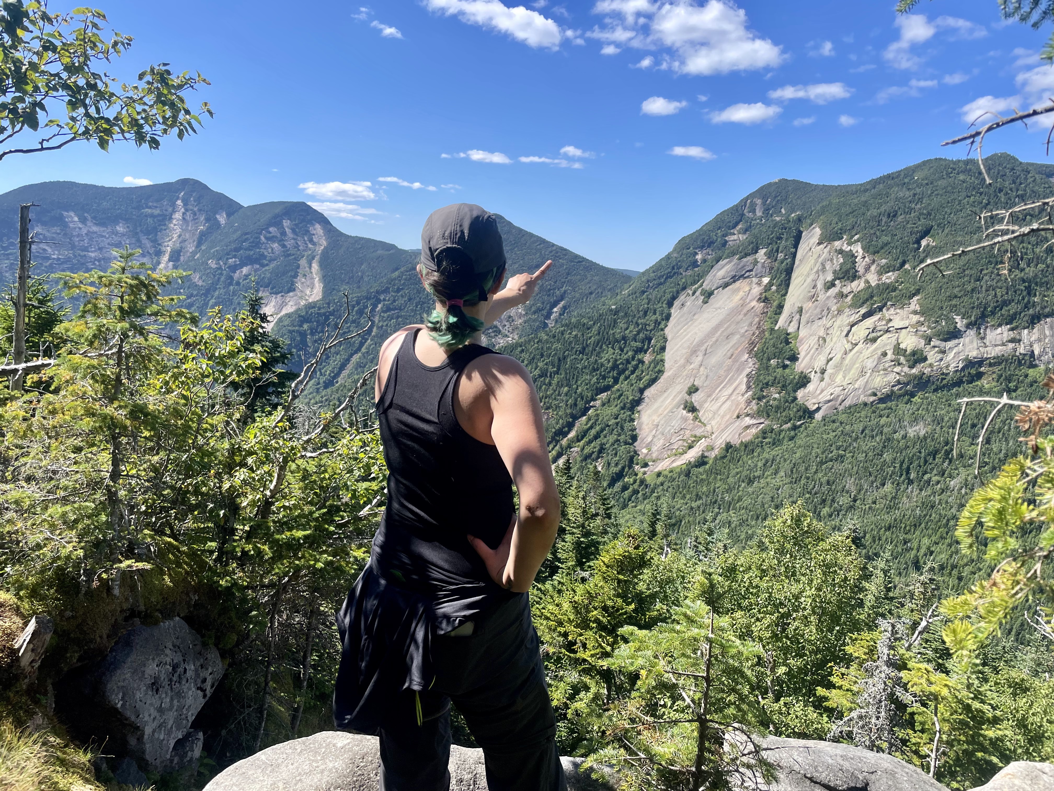
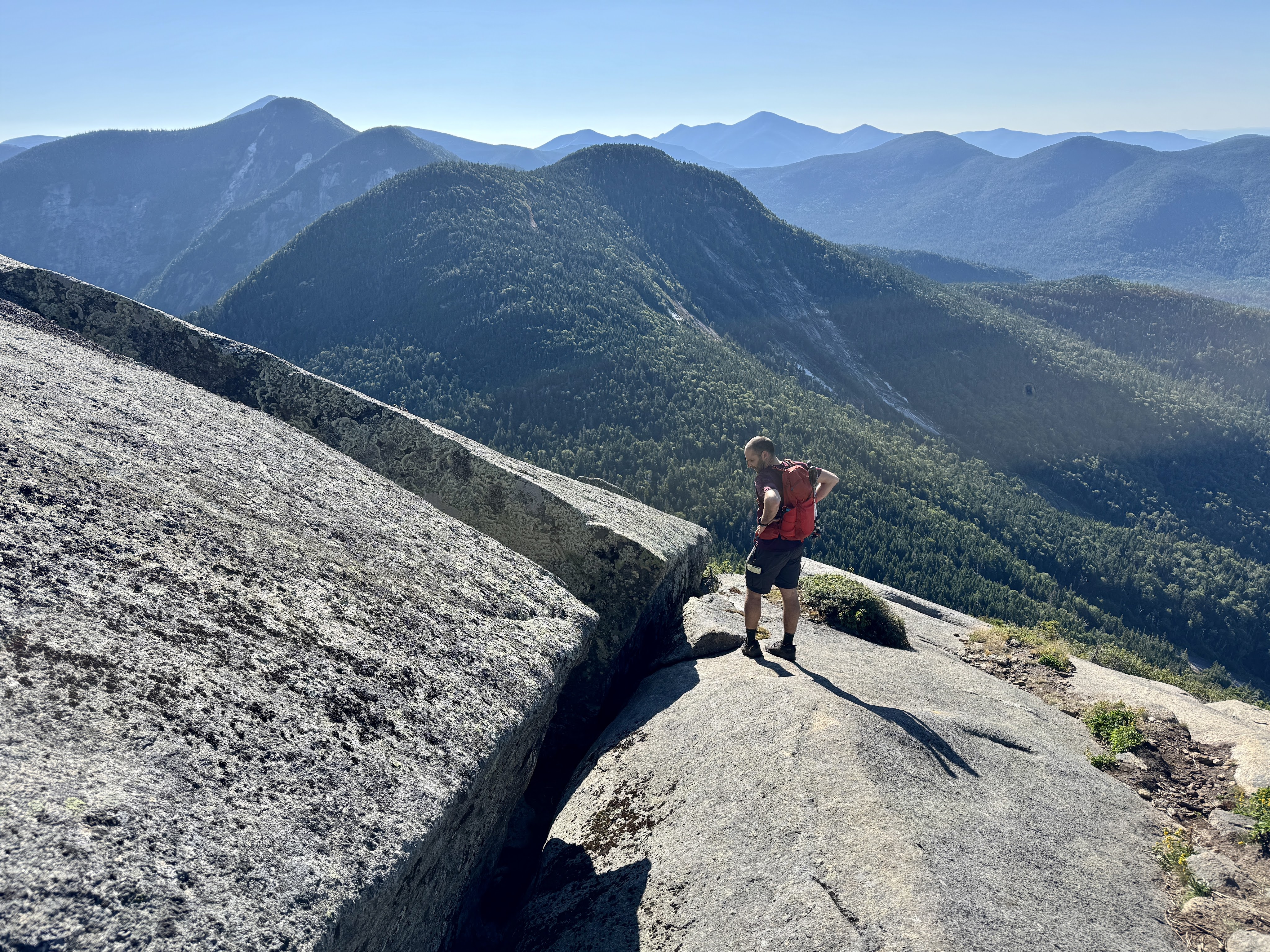
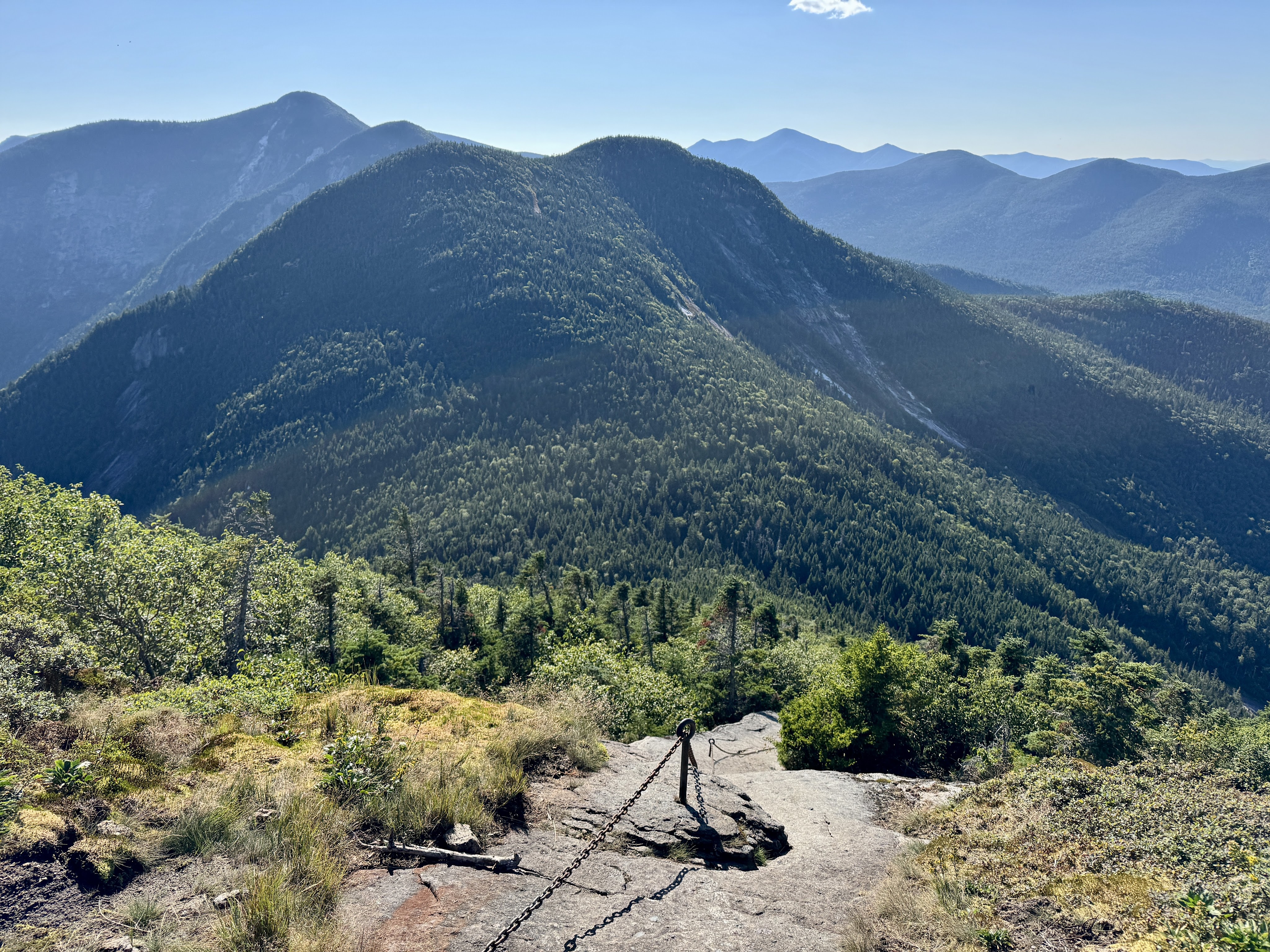
I spent no more than 5 minutes there before heading back to the path and noticing a bit further on the left another spur trail. I suspect this was the true summit of Donaldson – so that’s number 39 for me! The view from here was nice too but I didn’t appreciate Seward taunting me with it’s distance – it looks like it might as well be on another planet from here.
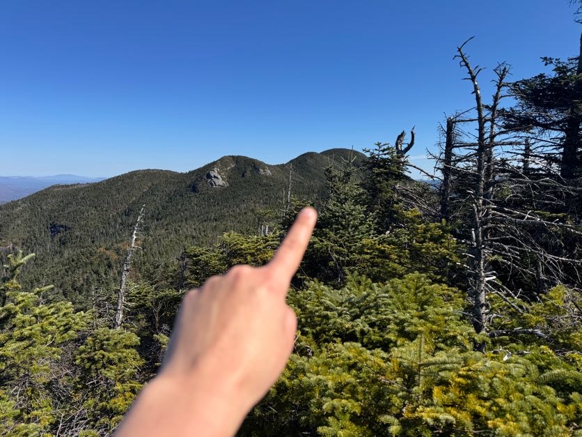
15 minutes later, I had a decision to make – Left or Right?
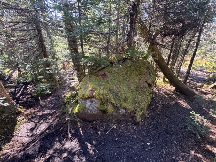
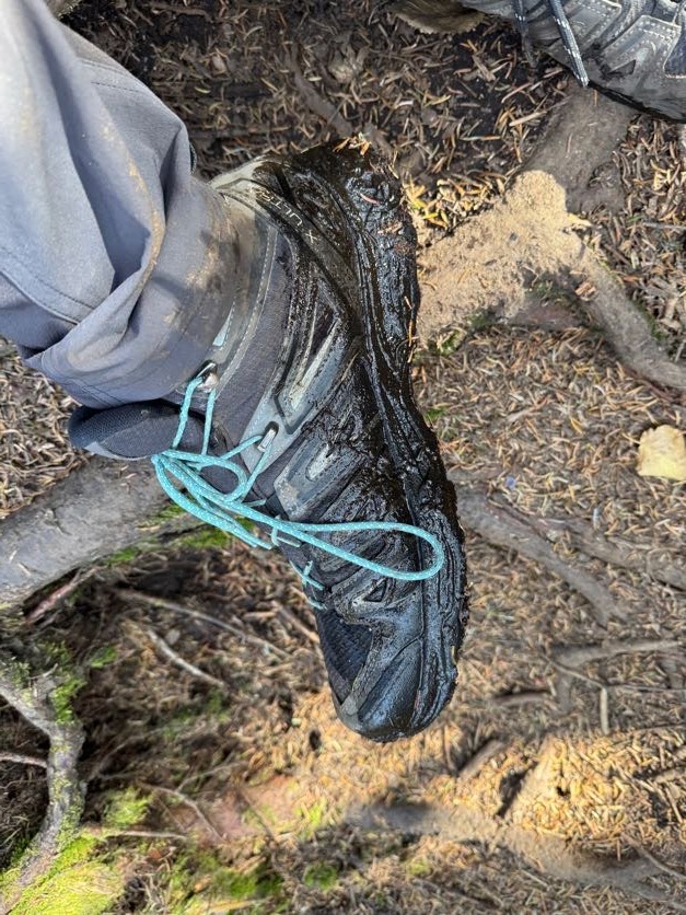
Turns out it was a trick question. All paths lead to Mud. With a capital M.

I found on this hike that I had been moving through the 7 stages of grief, but with…mud. First: Denial. There won’t be mud, it’s been a drought! Then: Testing. Maybe I can find a way around the mud? Then: Anger. MY BOOT GOT SUCKED IN! Before finally arriving at: Acceptance. I’m just going to have wet feet and I’m gonna have to be fine with that. And then I caught my first glimpse of where I was headed – yikes! Emmons is…not close.
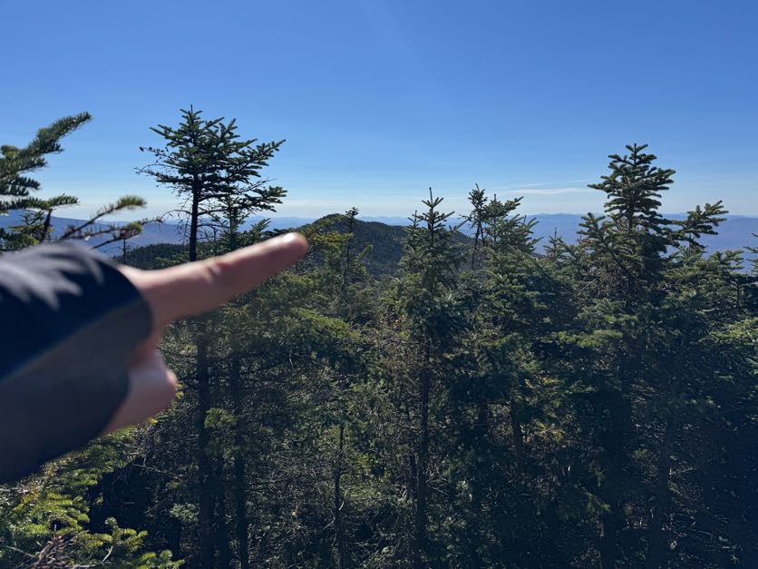
There was lots of up and down over semi-technical rocky slabs, but nothing unmanageable. However I did start feeling the pangs of a headache setting in, and when I realized the flashes of sunlight through the trees were making me feel disoriented, I grew concerned that it may actually be a migraine and not just a headache. This…..would be problematic. So I found a nice rock at a 45 degree angle to the ground and sat my butt right down the dirt, drank some water with ibuprofen, had a snack, lay my head back, popped my sunnies on, and closed my eyes. I stayed that way for just a few minutes as the worst of it subsided and decided to keep going, leaving the sunnies on for good measure. With how focused I was on just putting one foot in front of the other, I didn’t take many pictures. I knew when the trail started going up again that I must be nearly there, and I was! I climbed for just a few minutes and emerged on the summit of Emmons.
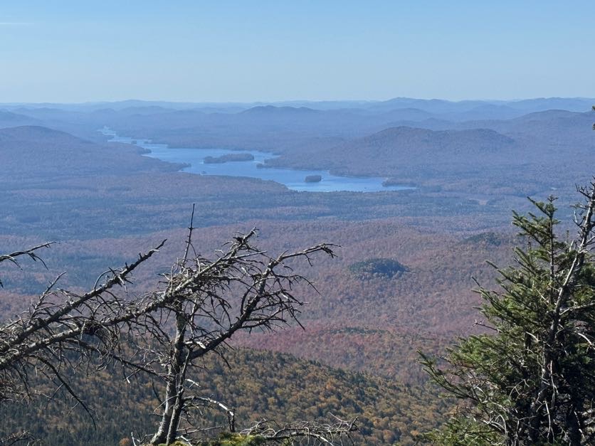
Number 40 is in the books! I was pretty hungry by the time I reached the summit, 1 hour after leaving Donaldson and 4 hours and 40 minutes from the trailhead. I plopped down with the small summit all to myself and set about enjoying some of the snacks I’d hauled up with me.
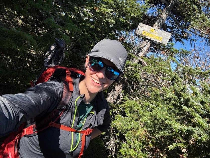
Can’t forget the victory chocolate! I thought it best to save some in case of an emergency when I got to Seward, so I enjoyed half and packed it away for later.

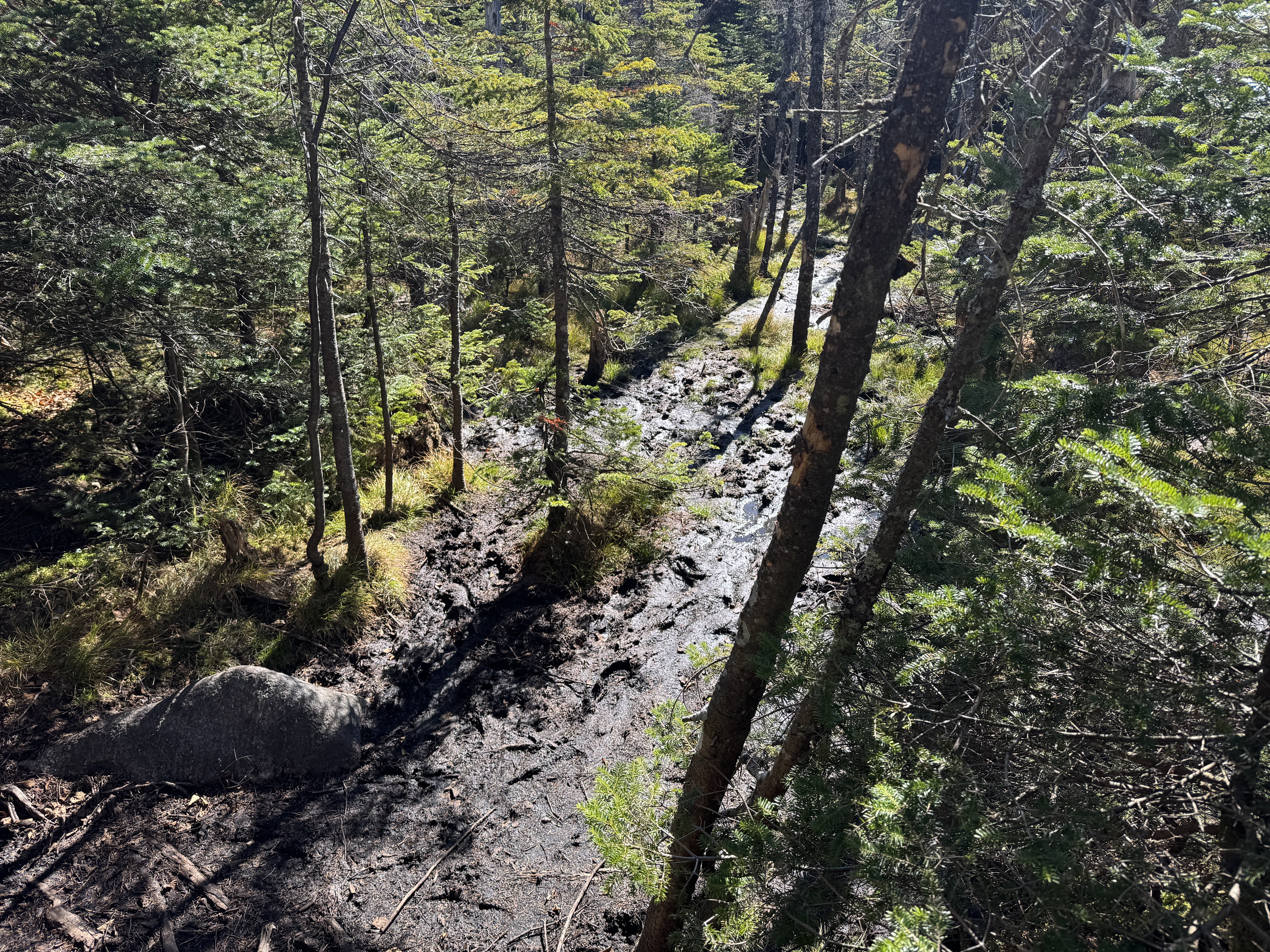
After 15 minutes, I thought I’d better get moving. It was 1pm already and I still needed to get all the way back up to Donaldson and over to Seward and back. Before long I was back at the mud – by the way there is no way around it, in case you’re thinking of being clever when you try it. Good luck and embrace the mud!
On the way back, I met a couple of solo hikers, and had a comical moment in which I could hear the men from earlier in the day – a group of 3 – coming ahead of me in a narrow section of trail, so I tucked myself into the trees alongside to give them room to pass, but….well, I guess they didn’t hear me, so when they came upon me in there I think I saw the soul leave the body of the first one in the group. The second one fist-bumped me for a job well done, we laughed about it, and I carried on. An hour after leaving Emmons, I was back at the junction.
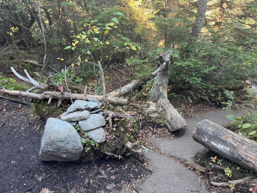
Over to Seward! The good thing is, when I looked at the map, it didn’t seem like I’d have to descend too far before the trail would level off and eventually climb up to a false summit.
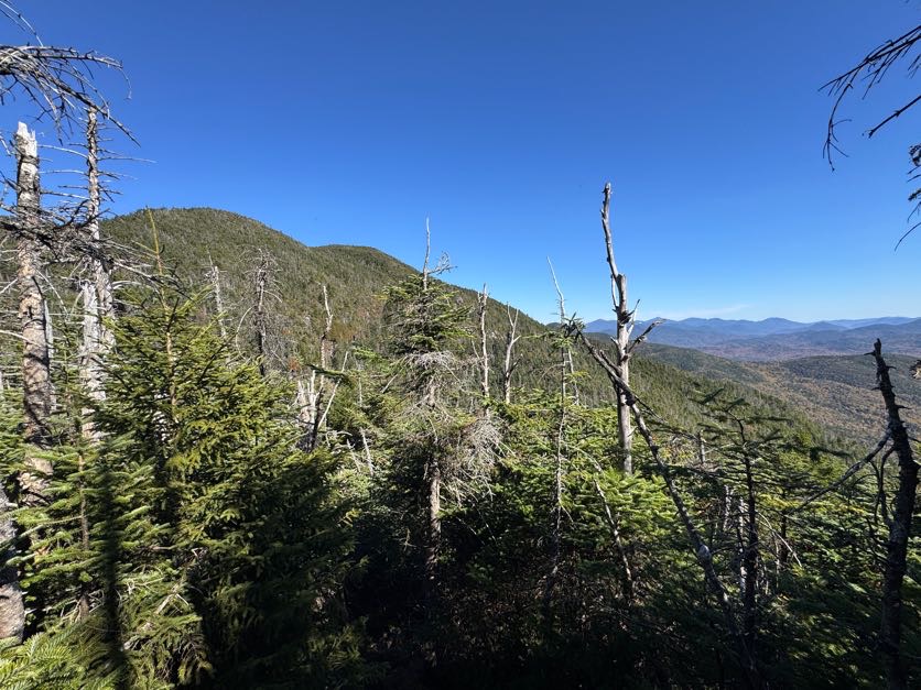
That assessment was spot on – I descended for no more than 10 minutes, and while it was a bit steep, it wasn’t too hard at all. I will say the way to Seward proved annoyingly….stabby. It was a lot like how I imagine running a gauntlet might be – the path lined with sharp branches jutting into the path, their life mission to draw blood and make some colorful bruises.
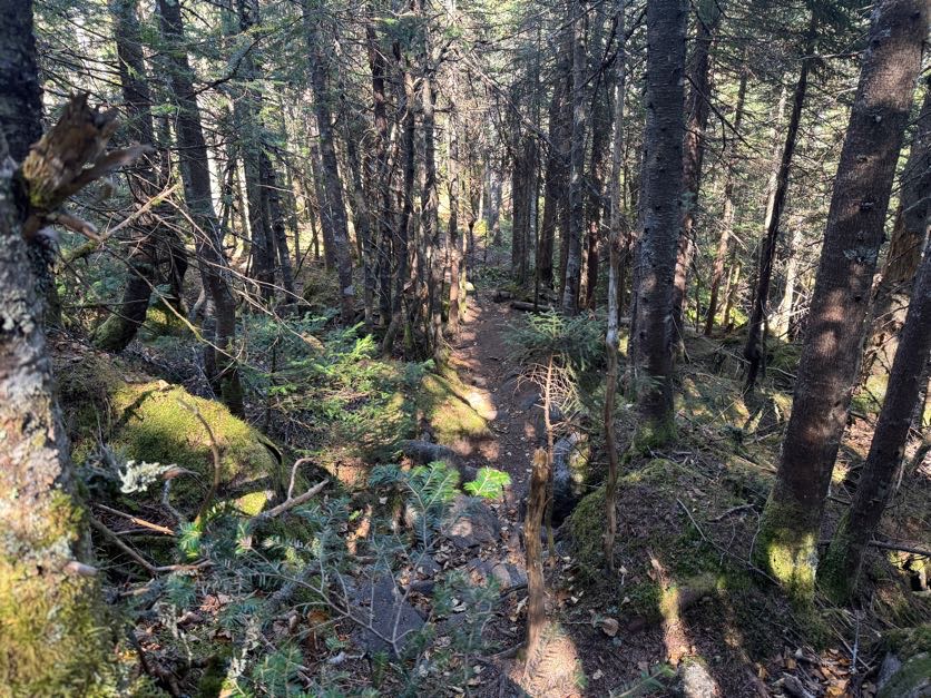
After the brief descent, the trail flattened out and wound around a rocky outcropping before heading up to the false summit.
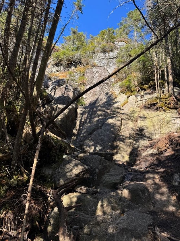
Looking back to where I’d just come from, it looks so far away! But it had only been about 30 minutes since I was at the junction.

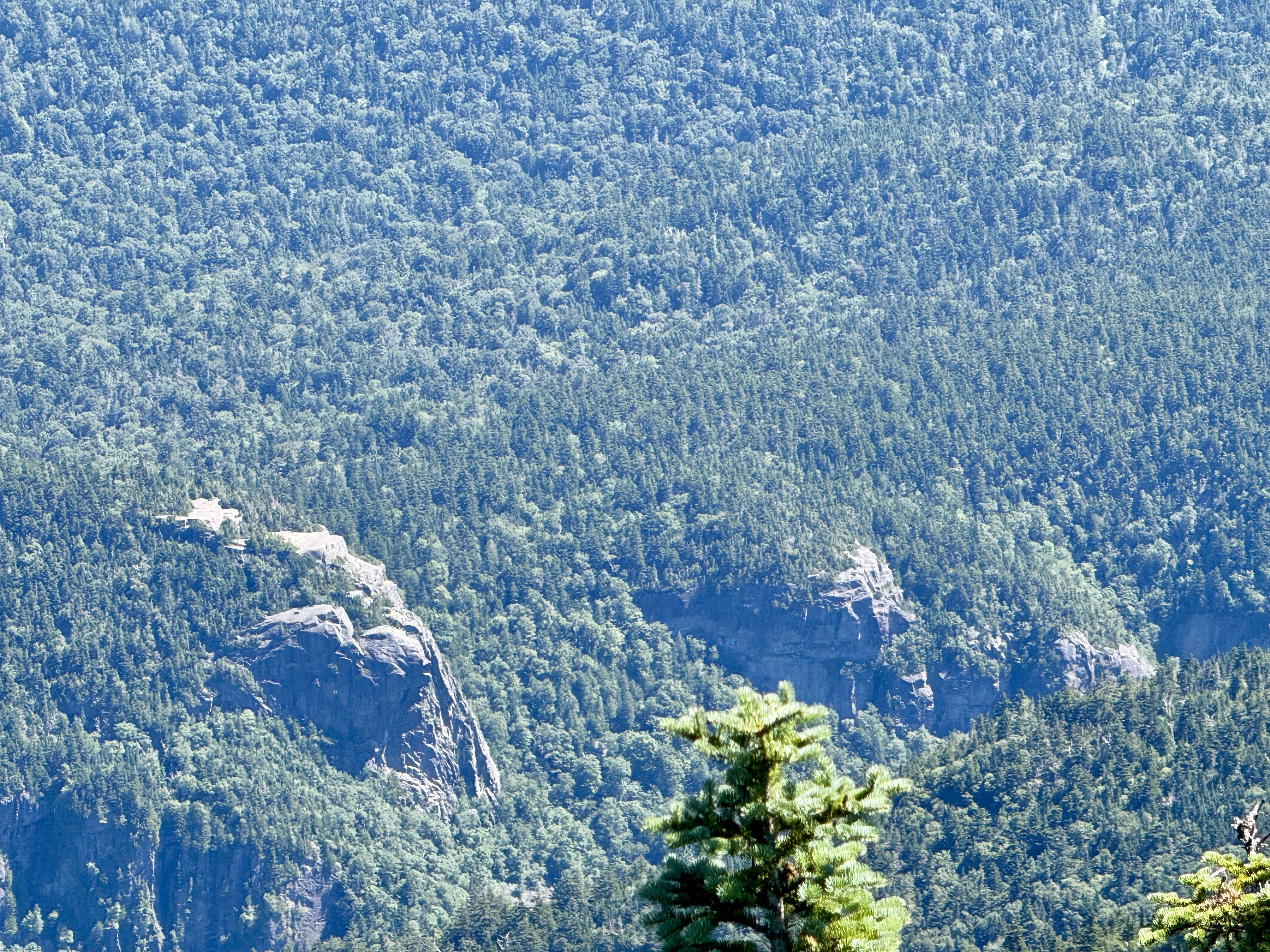
I’ll admit, I got a little confused looking for the summit of Seward. I knew I’d go over a false summit, which I assumed this to be, with the rocky outcropping the rightmost bump in the image below, but when I continued along the trail, eventually I started going down again when I estimated I should have been arriving at the summit….so that can’t be right. Just then, I heard some voices ahead and met a few hikers coming from the opposite direction, ALSO looking for the summit! They were sure it wasn’t behind them, so I must have gone right over it. I did recall noticing a bit of a clearing in the trail that had the hallmarks of being a wooded summit, but there was no sign or indication of any kind.

So together we hopped back up the trail – 5 of them, 1 of me, and the cutest little hiking dog aptly named Summit. AllTrails came in handy here to affirm that the clearing I’d passed was indeed the summit. Observe – the tree that used to hold the summit marker, with the remnants of the nails that used to hold it.

We each found a nice spot to sit and enjoyed snacks, sharing stories of our adventures in the mountains and a moment of camaraderie commiserating about the mud and the trek ahead. They’d decided to go back down the way they came up to get back to their camp, and I thought about going with them but according to them it was a steep, exposed, rocky route, so I chose to also go back the way I came instead. There was no view from this wooded summit, so when we parted ways 30 minutes later, I stopped at the top of a ledge to enjoy the views before heading back over to the junction with Donaldson.
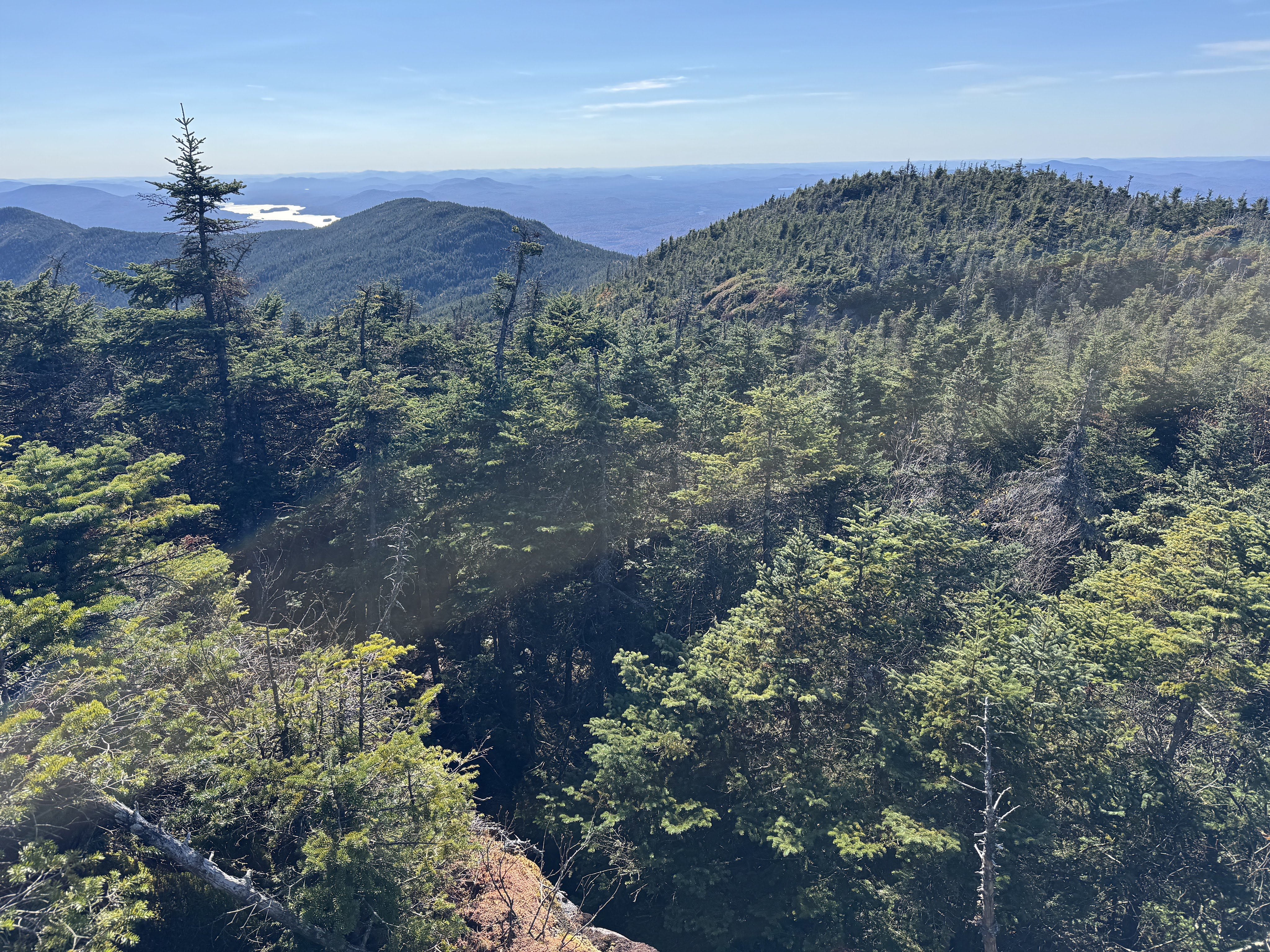
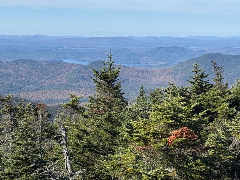
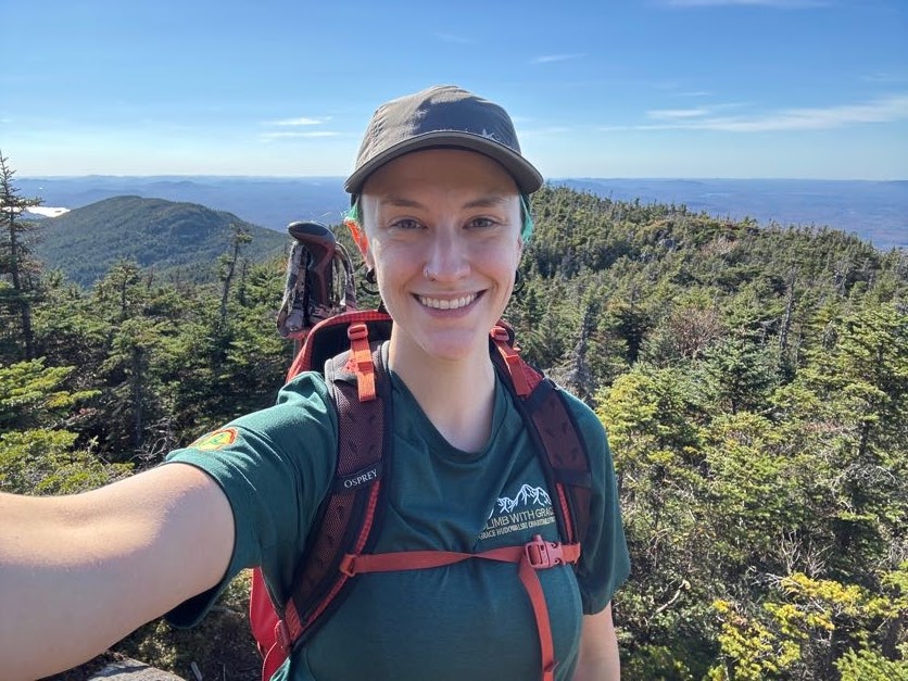
Number 41 is in the books! I just have 5 peaks left, spread across 3 treks – Marshall, Allen, and Skylight, Gray, and Marcy.
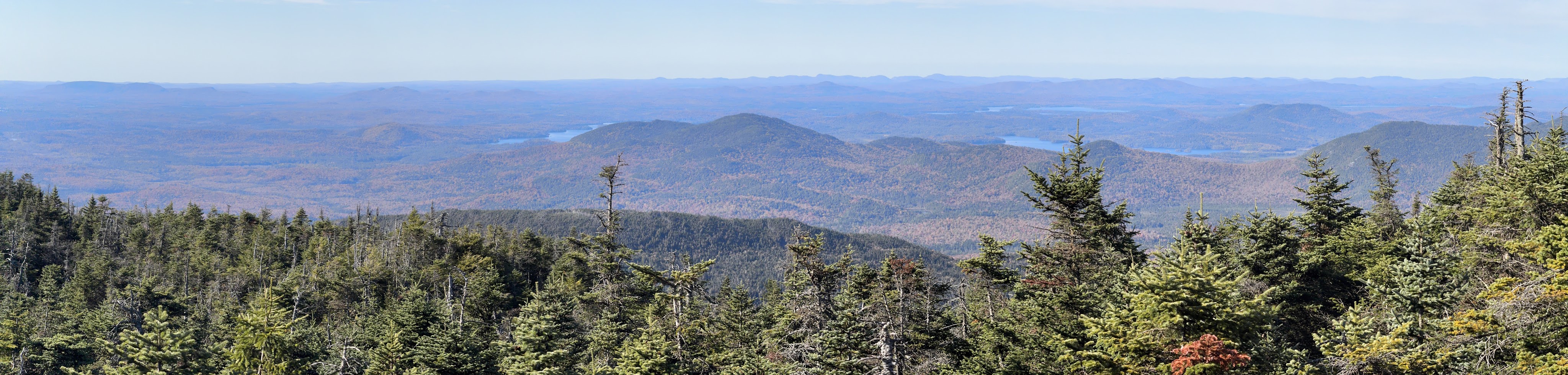
It took me about 40 minutes to go the roughly 1.2 miles back to the junction. I scampered back up to the little cairn marking the junction just in time to spook the same triad I’d jump-scared earlier in the day – someone should really put a bell on me I guess! They were considering heading over to Seward but had a dwindling water situation and there were no water sources over there. I’m not sure what they decided because I ALSO had a dwindling water situation and I was eager to get back to the stream to refill.
It took me just 35 minutes of quick descent to reach the stream and fill my water bladder at the most perfect little cascade.
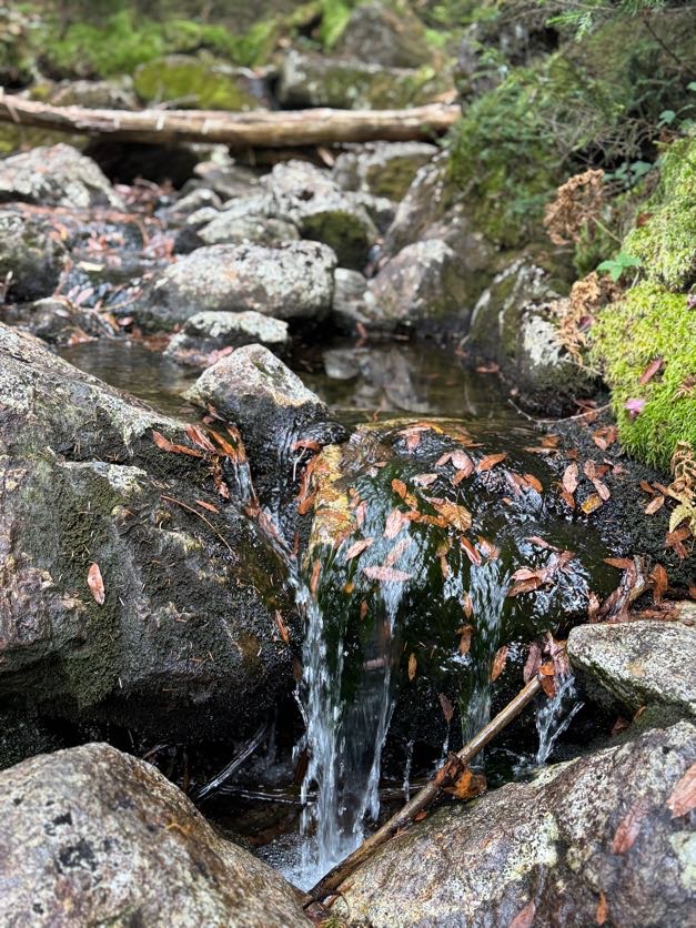
And it was a nice spot to rest, grab a snack, and look at the map for a few minutes. I filtered just enough water to fill my smaller Nalgene – filtering takes a while and I didn’t want to waste daylight. It was already 4:40pm and I still had probably over 5 miles to go.

Fortunately this trail is free of rocks and even mud for the most part, so I could really hustle. I walked….

and walked…..

And walked……
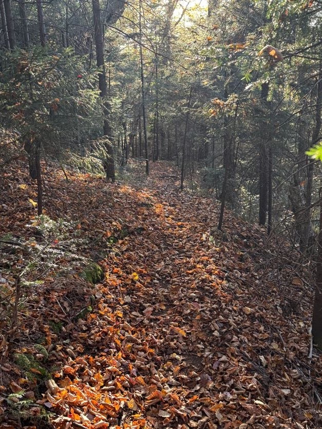
With nothing notable to report – no signs of people, no critters, no losing the trail, just…walking.
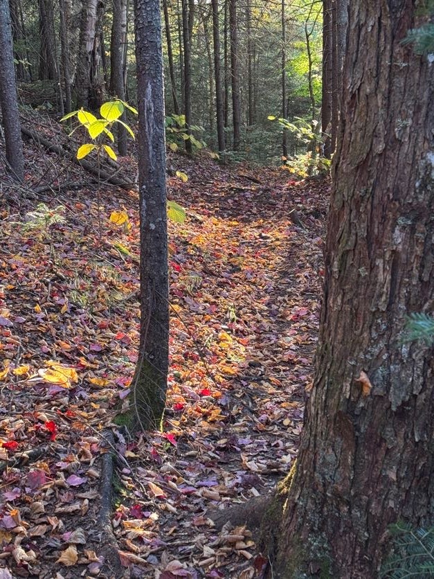
Right at 6pm I was so relieved to reach the crossing again, noted by the little rock sitting on the larger rock.

And 5 minutes later I was back at the rusty bucket marking the junction. It took me 2 hours to descend from the junction with Donaldson.
I had a headlamp of course, but I really wanted to make it back to the trailhead as quickly as possible so I wouldn’t get home so late – after reaching the car, I’d still have to DRIVE for 2.5 hours and I really didn’t care to do that into the night.
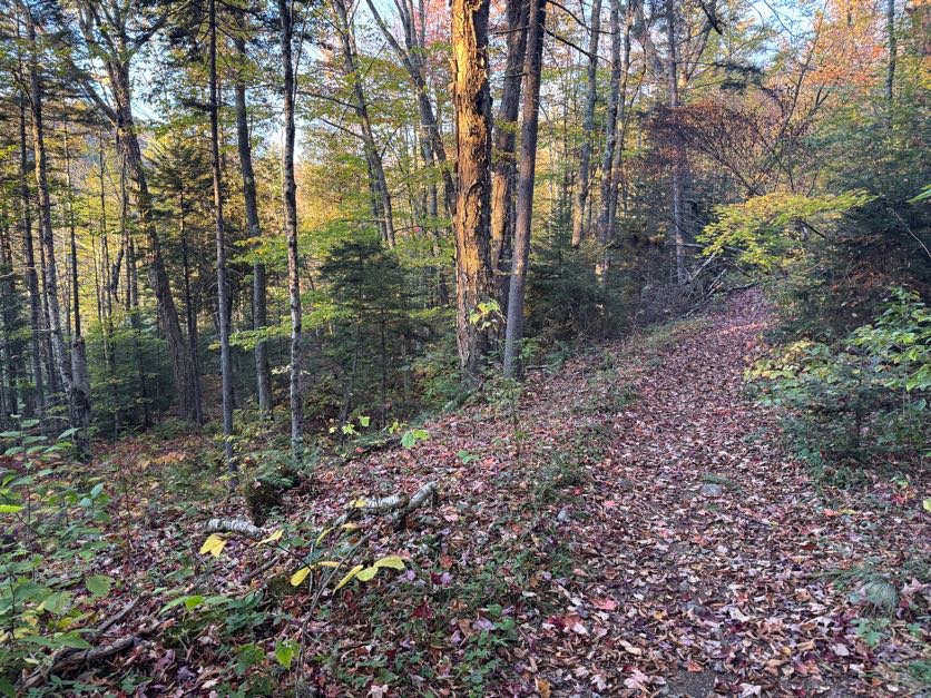
For about 4 seconds I had the great idea to jog along the calkins brook truck trail – until I remembered that I don’t run and I had 3 miles of this to go, so what’s the point – and slowed to a reasonably fast walk instead. And let me tell you – I did not REALIZE when I was hiking in just how much downhill there was, it just seemed to go up and up and up and I was over it.
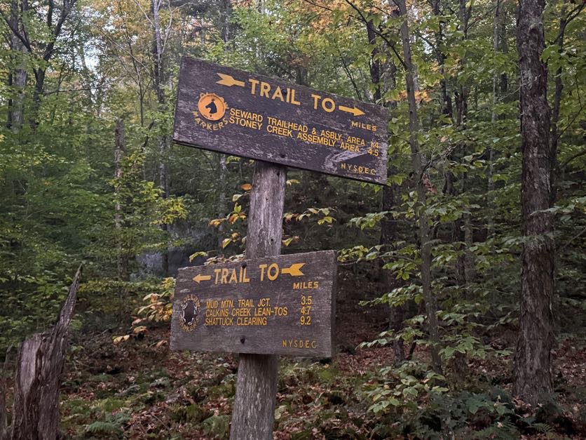
It took me 35 minutes to reach the first junction back to the trailhead, and 10 minutes more to rejoin the main trail.

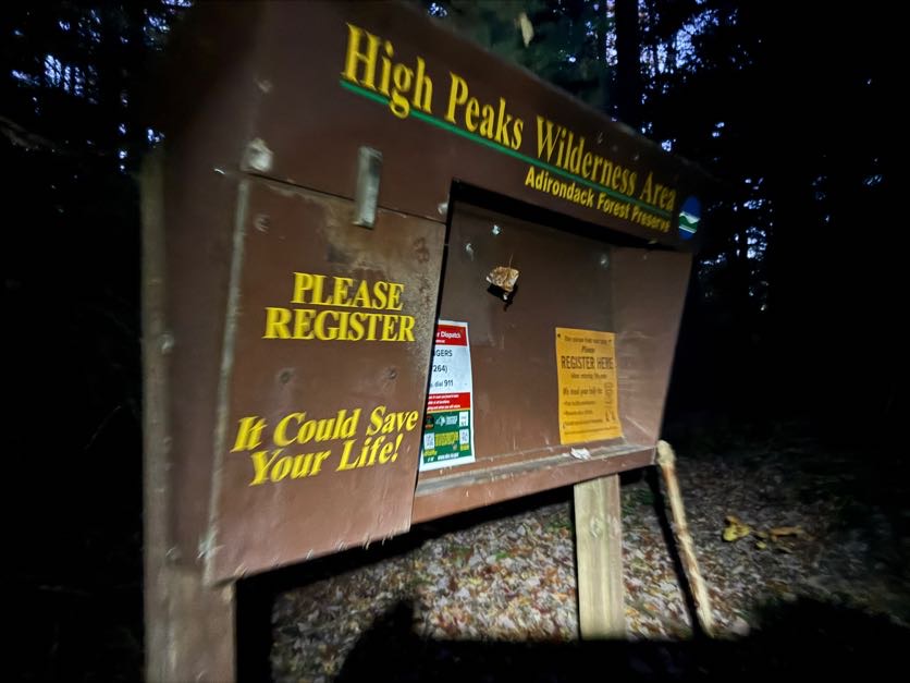
From that point on, just 15 minutes remained between me and my car. I reached the register at 7:10pm, 11 hours and 15 minutes after starting.
Spoiler alert, I made it home fine, and can’t wait to get back for my remaining 5 peaks.

Happy Trails!

41 down, 5 to go.

Donaldson: 4140′

Emmons: 4040′

Seward: 4361′

Total Duration: 11 hours 15 minutes

Total Distance: ~17 to 18 miles

All images are property of adktrailtalesandtails and may only be used with express permission.
Lower Wolf Jaws (30), Upper Wolf Jaws (29), Armstrong (22), Gothics (10), and Sawteeth (35)

8/14/25

The lower great range. I’ve been dreaming of doing this hike for a decade, and it’s finally here. I had no illusions of being able to do this as a day hike, so we repeated our strategy from Haystack (3), Basin (9), and Saddleback (17) and hiked in on a Thursday evening, did the big hike on Friday, and hiked out Saturday morning. This is gonna be a long one, so grab a cup of tea and get cozy, let’s dig in!

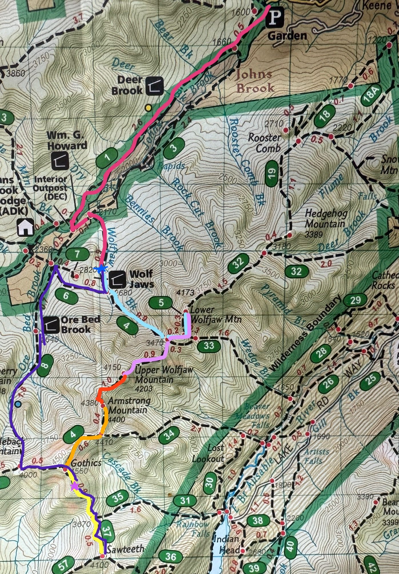
The plan – hike in at The Garden (pink), camp at a campsite near Wolf Jaw Lean-to (blue star), next day hike up to the ridge (light blue), over to lower WJ then back down and up to UWJ (light purple), to Armstrong (red), to Gothics (orange), down to Sawteeth (yellow) then back up over Gothics and down the Ore Bed Brook trail (dark purple) to get back to camp.

Thursday 8/14 – It begins

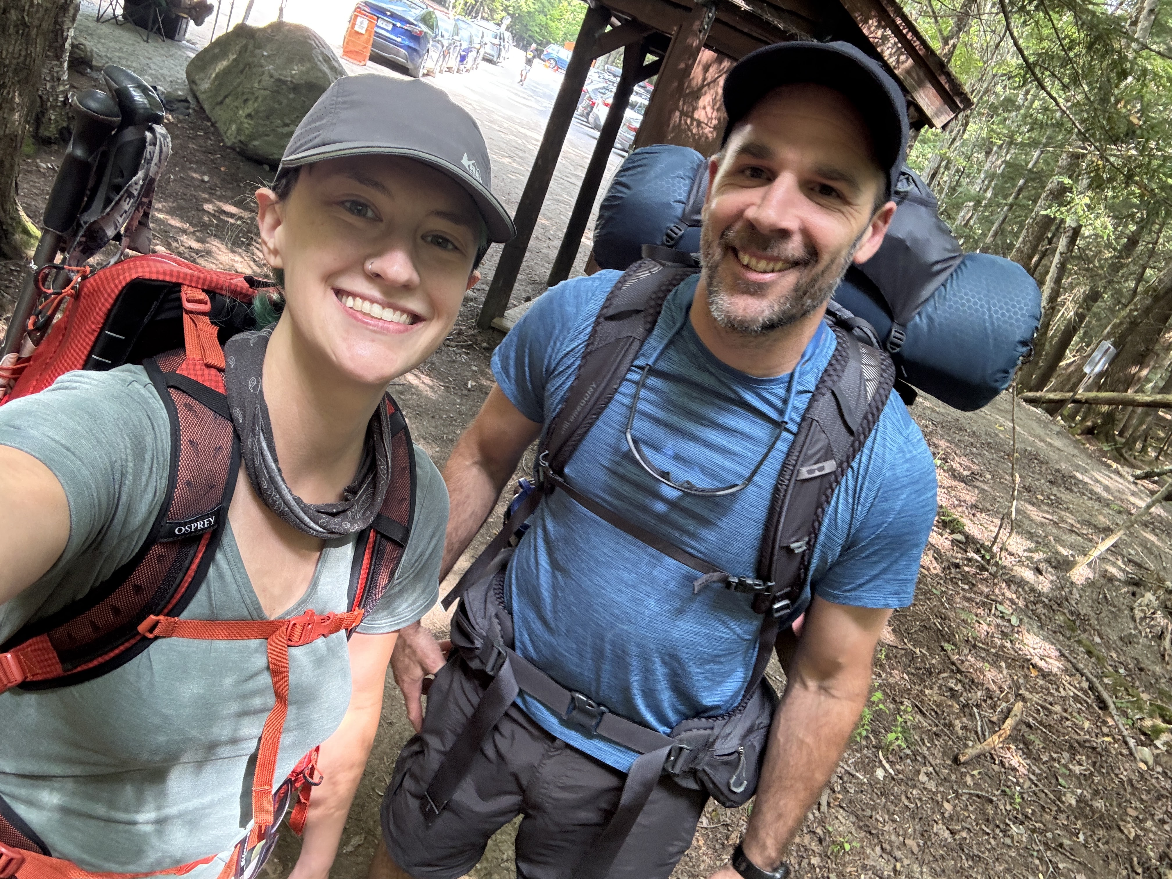
We got to The Garden trailhead at about 2pm, signed in and started walking at about 2:30pm. Look how cute and clean and fresh we were!

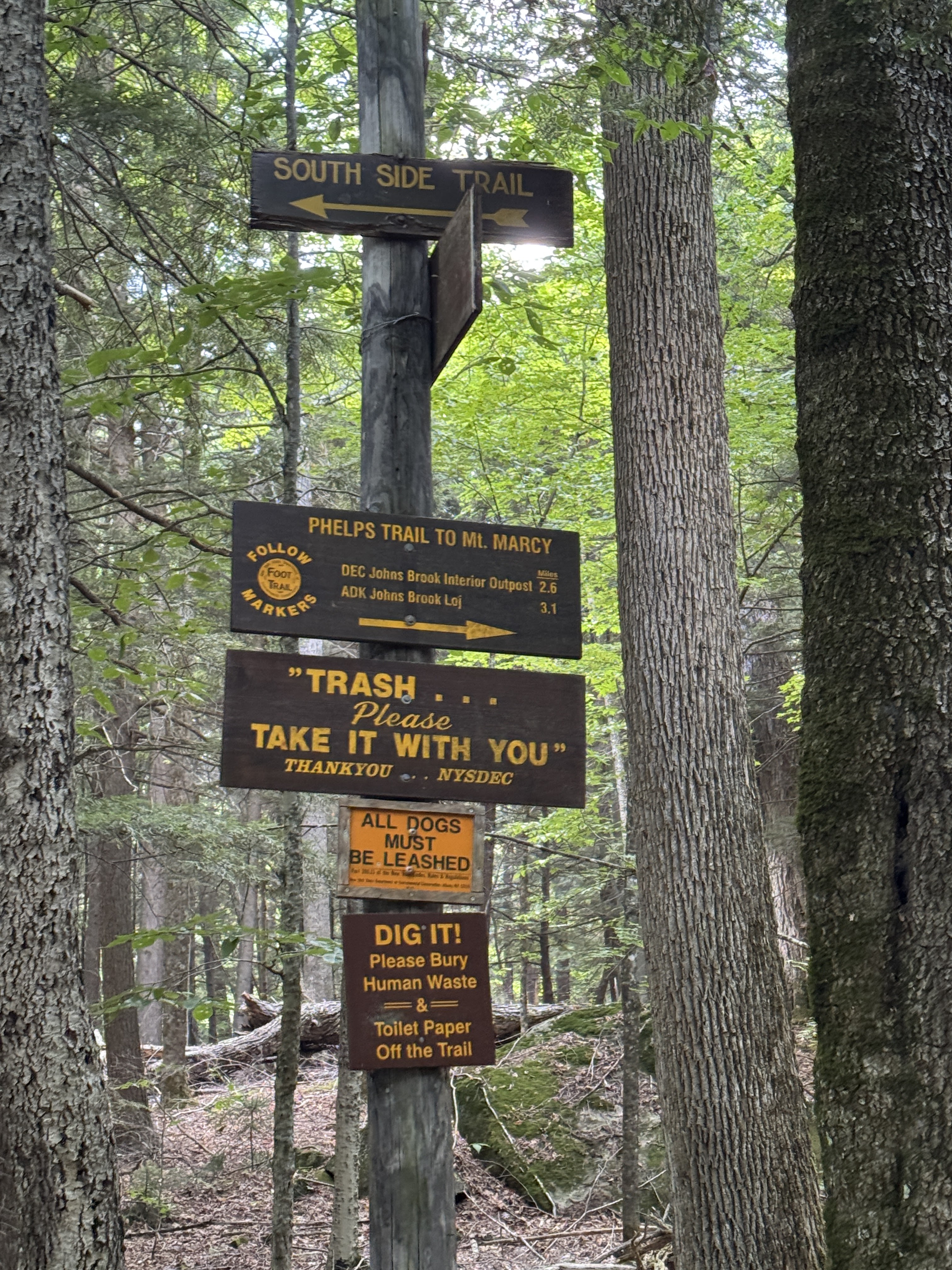
We must have been feeling good because we made it to the first junction within 10 minutes of starting, and stayed on the Phelps Trail to Marcy rather than exploring the abandoned south side trail.

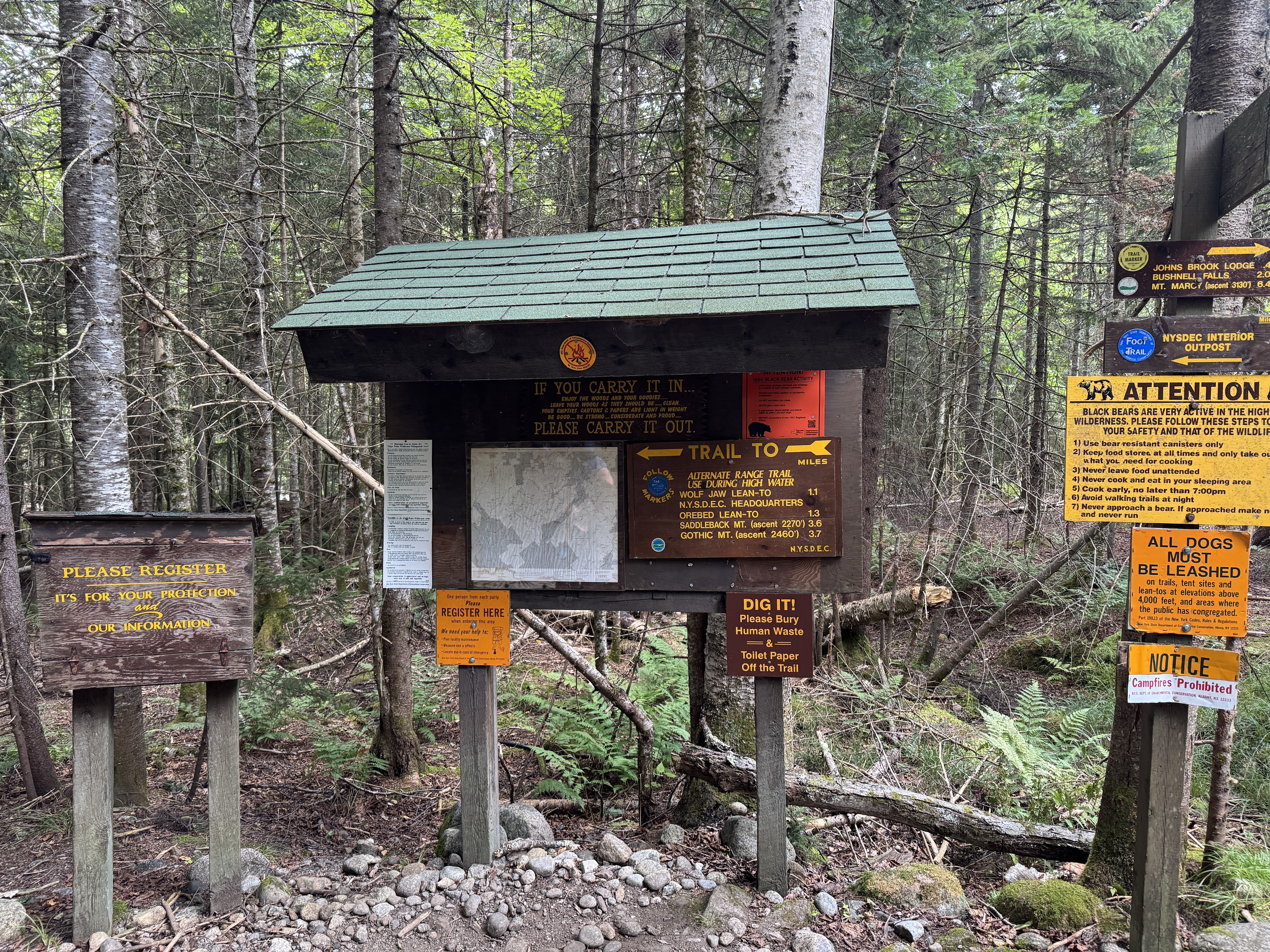
It was a beautiful day and we’d hardly encountered any other hikers by the time we reached the second register, an hour and 20 minutes and 3 miles from the trailhead. We signed in and this time, instead of going towards JBL, we went left toward the Wolf Jaw Lean-to.

I’d never actually been this way before so I was excited to take this route! Just a minute from the register is this outpost for the NYSDEC headquarters.

The trail past the outpost gave me instant memories of hiking in Patagonia. The way the narrow dirt path cuts through the long grass is just the same. Remind me to write those trip reports sometime 😀

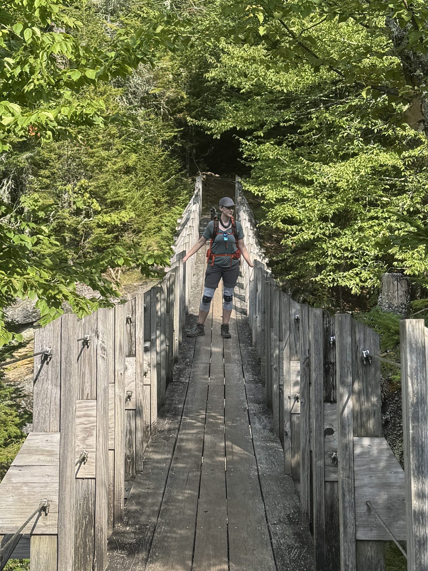
And another minute later, we were crossing Johns Brook on a swinging bridge. We had to exercise some serious self control to not stop here and go for a dip – it wasn’t the hottest day, but we were damp with sweat and the brook babbled in a way that was so enticing….but alas, we were trying to make sure we got to a camp site before anyone else did, so on we went.

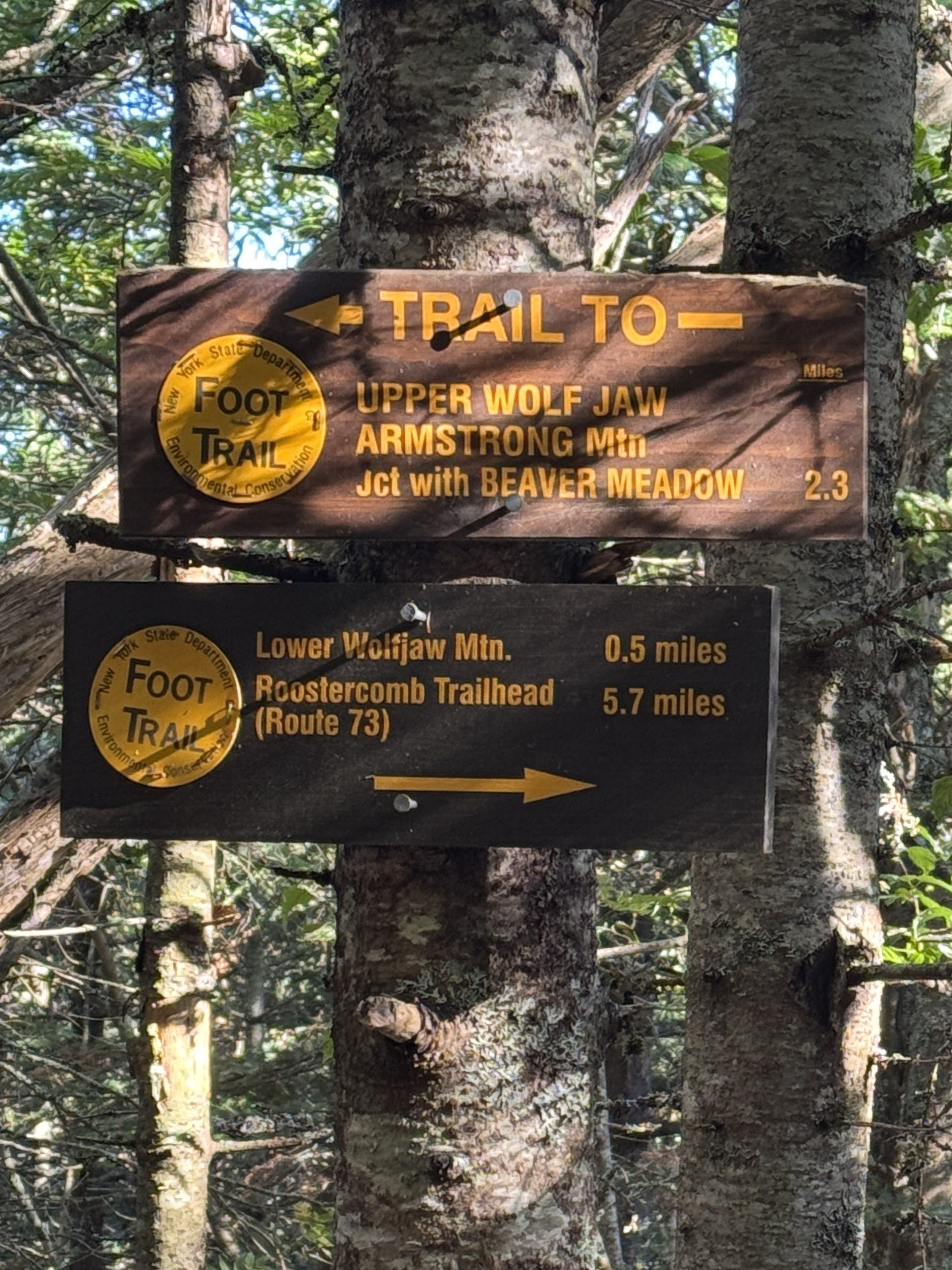
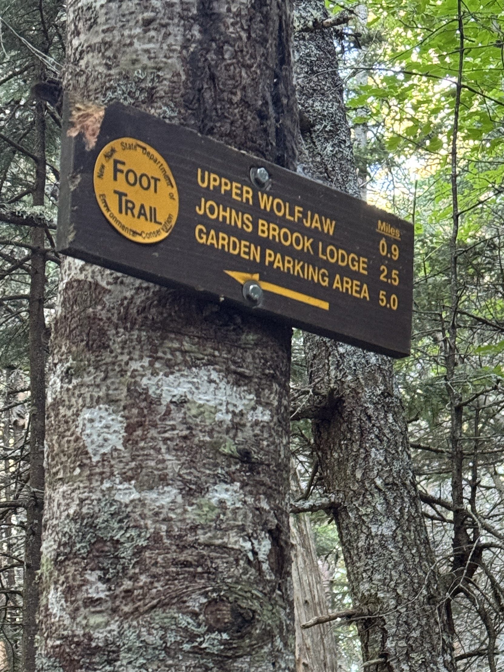
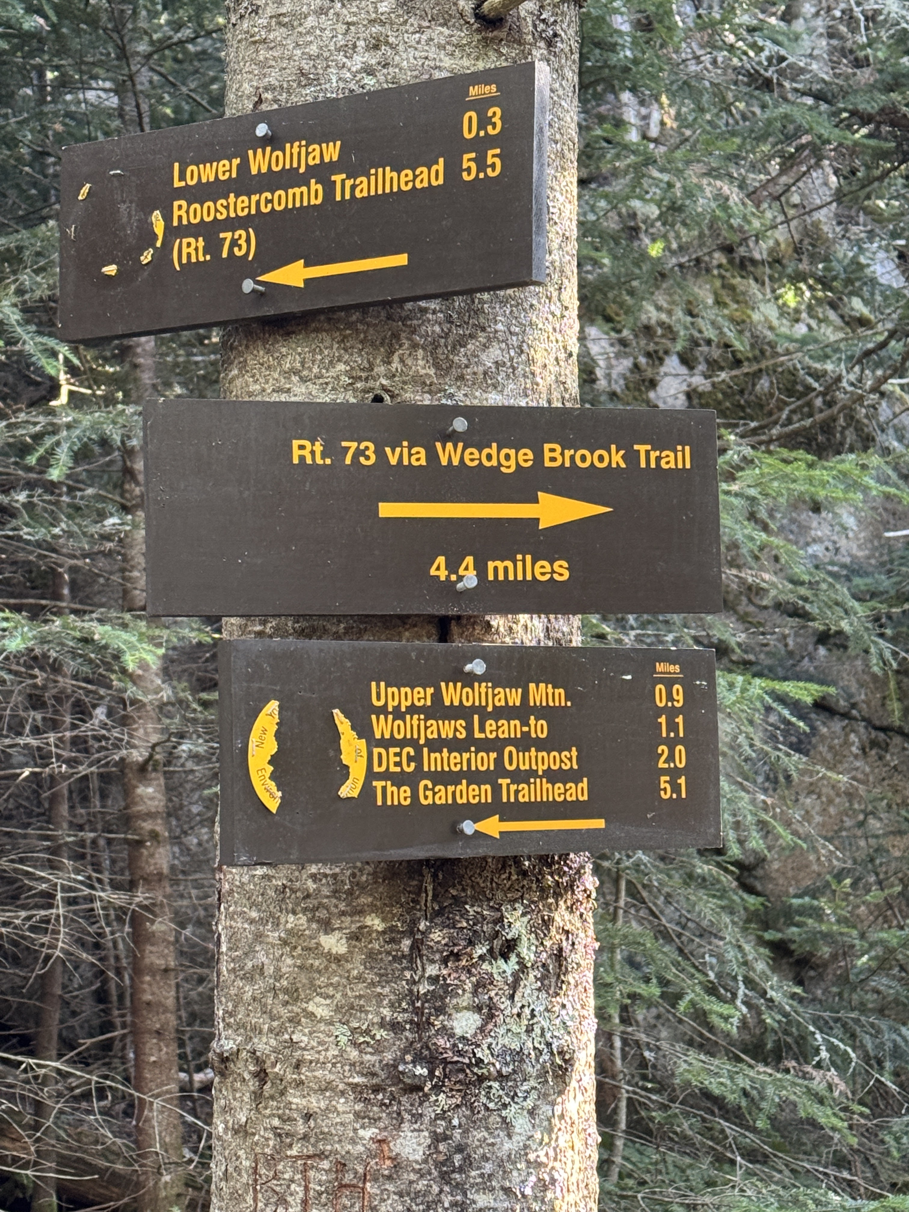
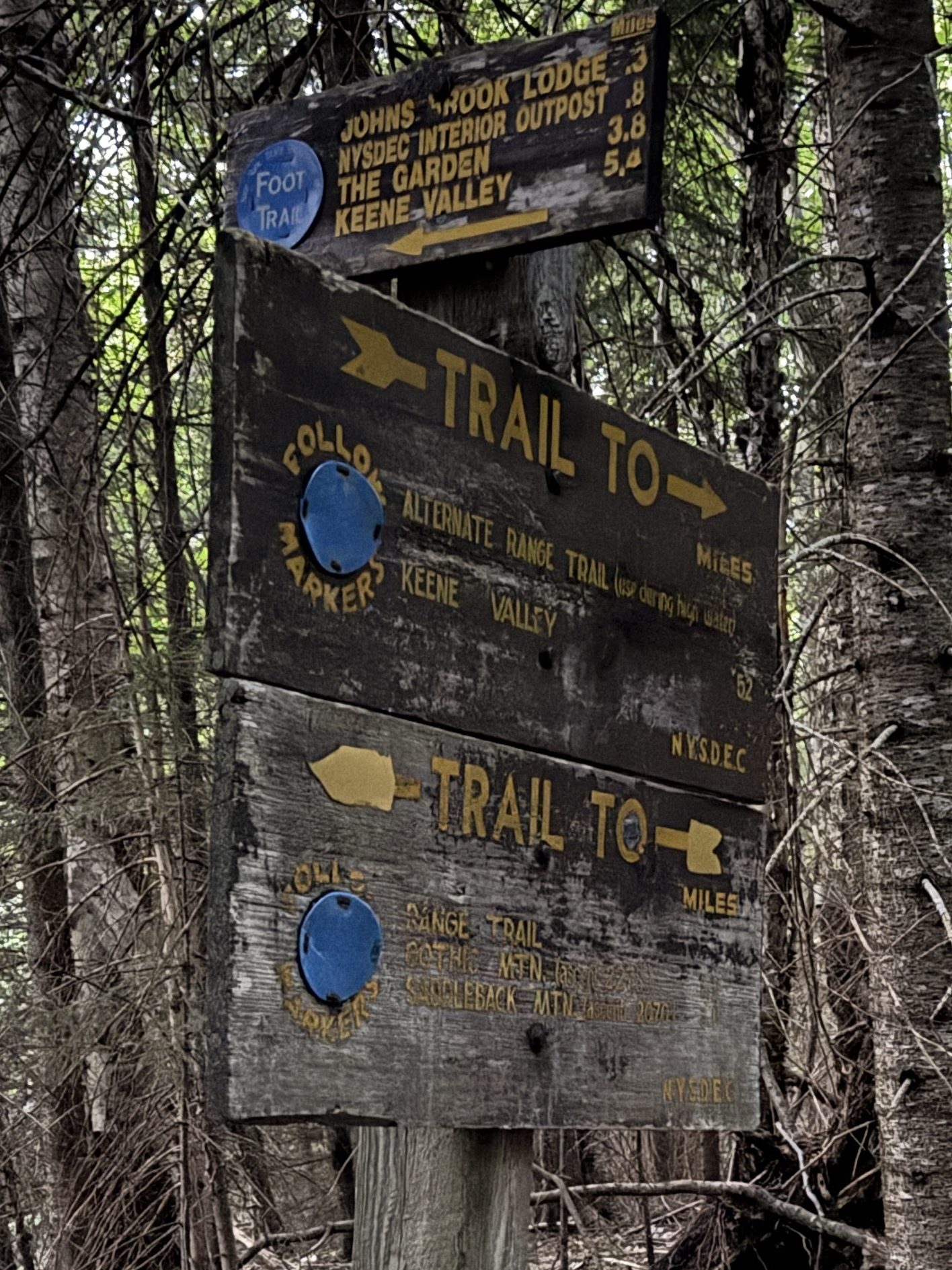
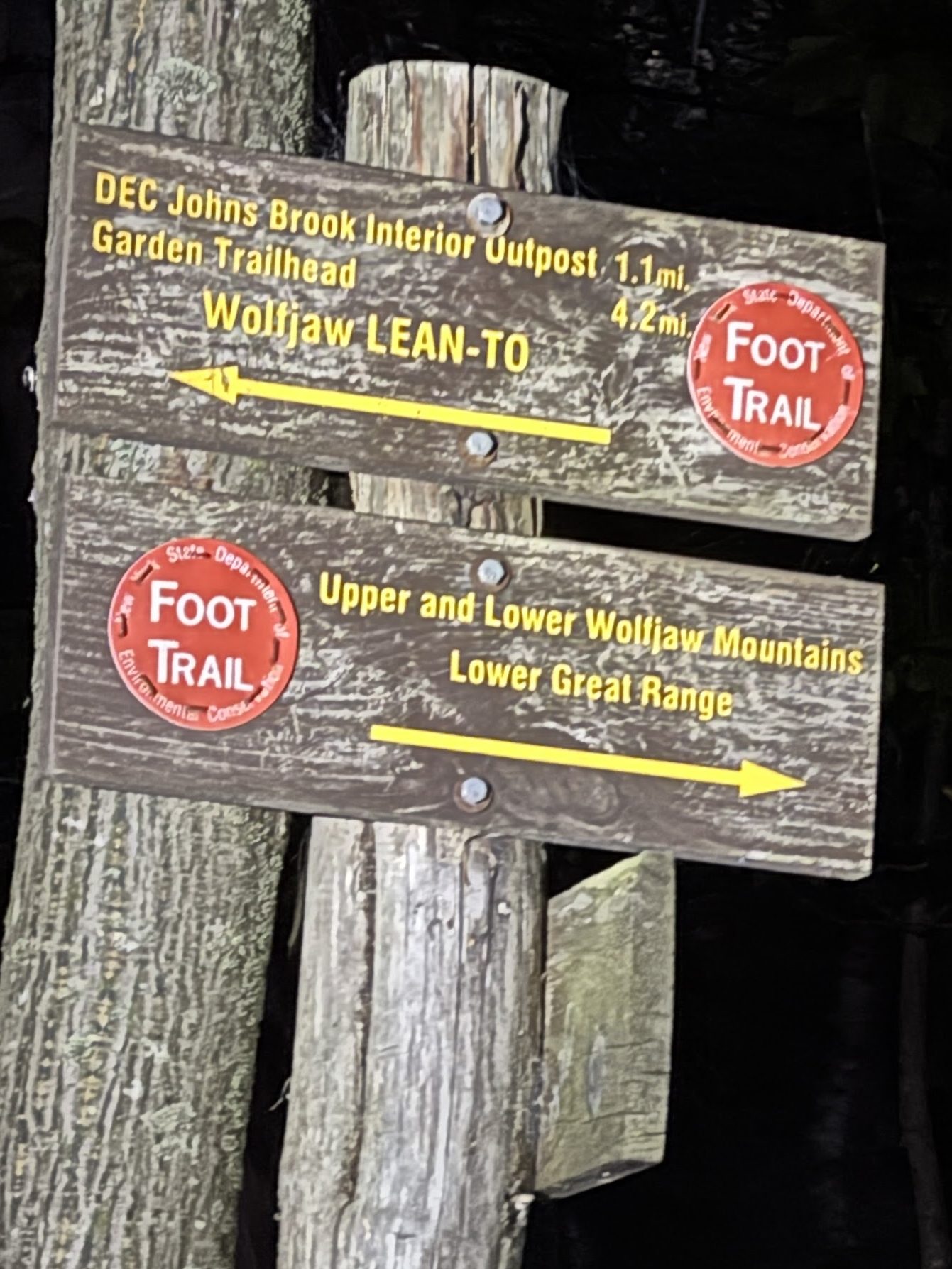
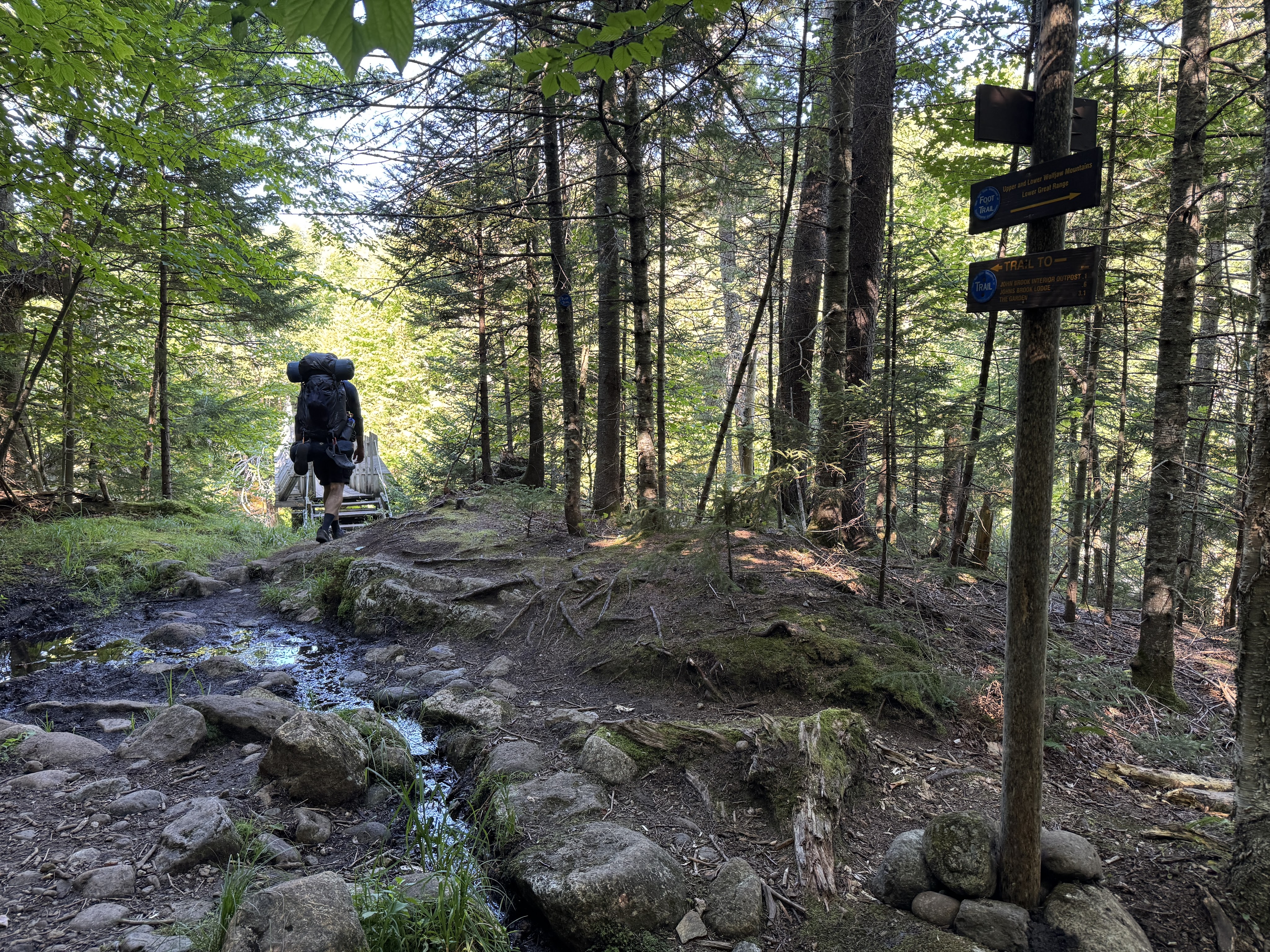
Just past the bridge is yet another junction – this time we headed in the direction of the middle sign “Upper and Lower Wolfjaw Mountains”.

Another 0.1 mile stretch brought us to the last junction before the lean-to, which meets the abandoned south side trail.

We weren’t exactly sure where the designated campsites were on this trail and assumed they’d be close to the lean-to, which looked to be at about 0.8 miles up, just before the next junction. The path here is pleasant, just a bit of incline and smooth walking.
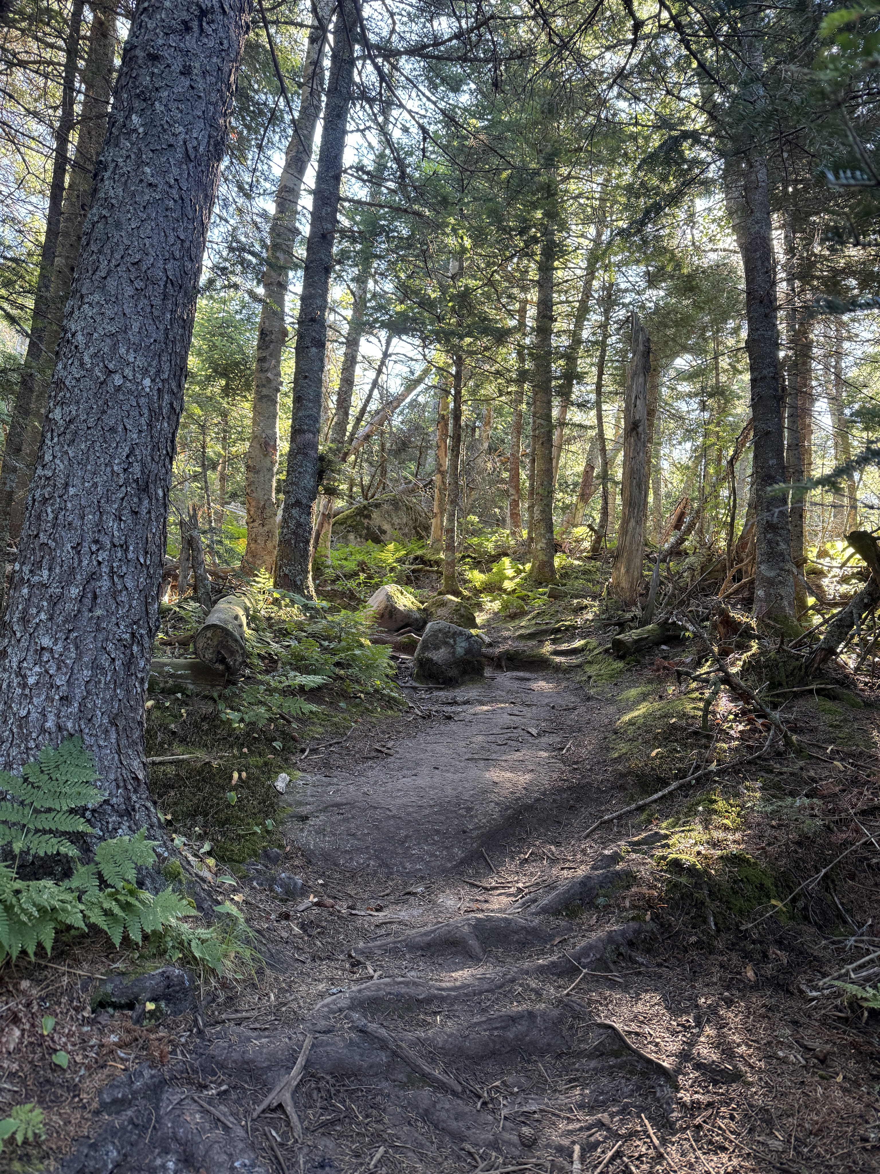
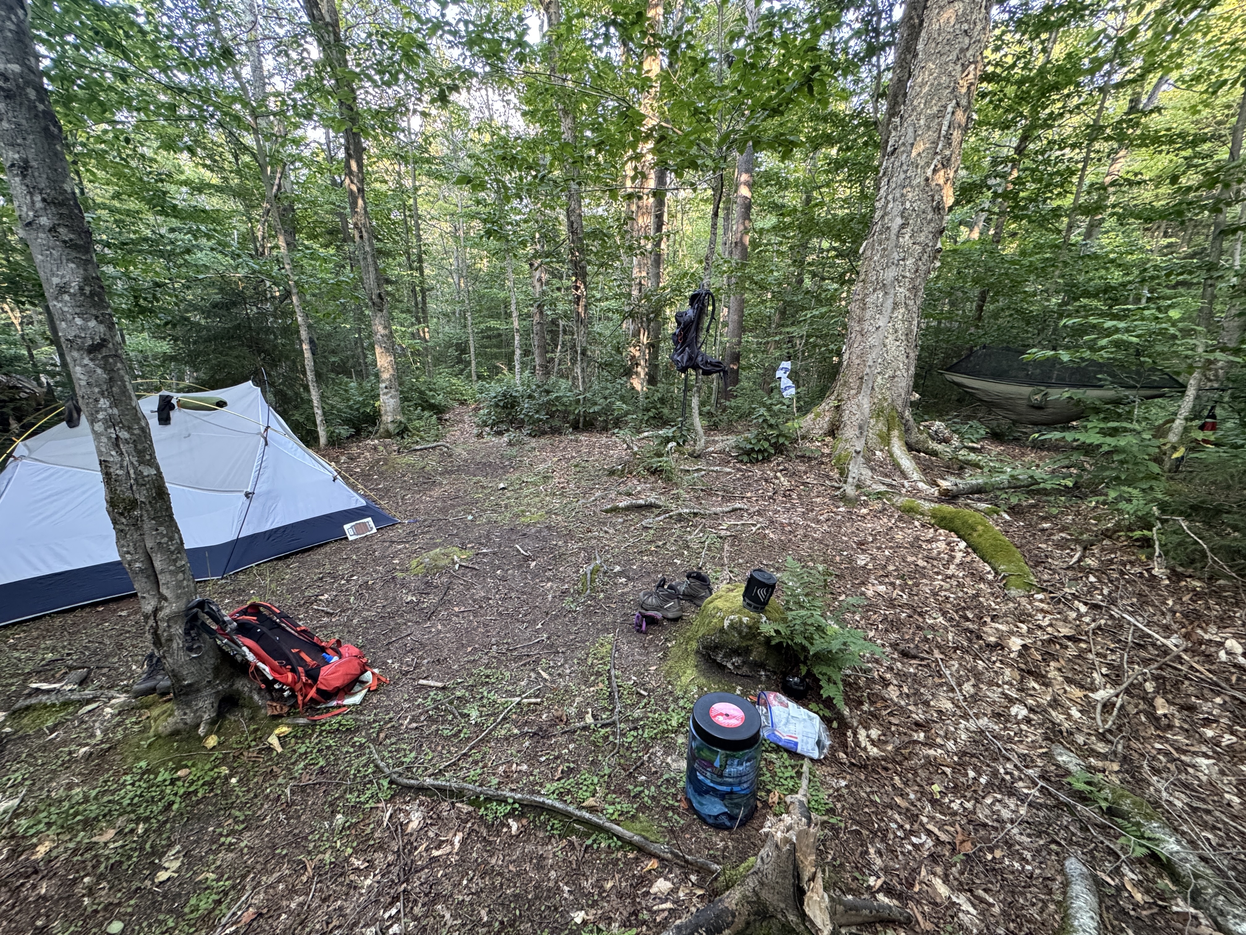
Within 10 minutes, we spotted a campsite marker! The path to the site looked pretty overgrown but the site itself was ideal – private with just one tent spot, close to the water, plenty of trees for my hammock, and smooth flat ground for the tent.

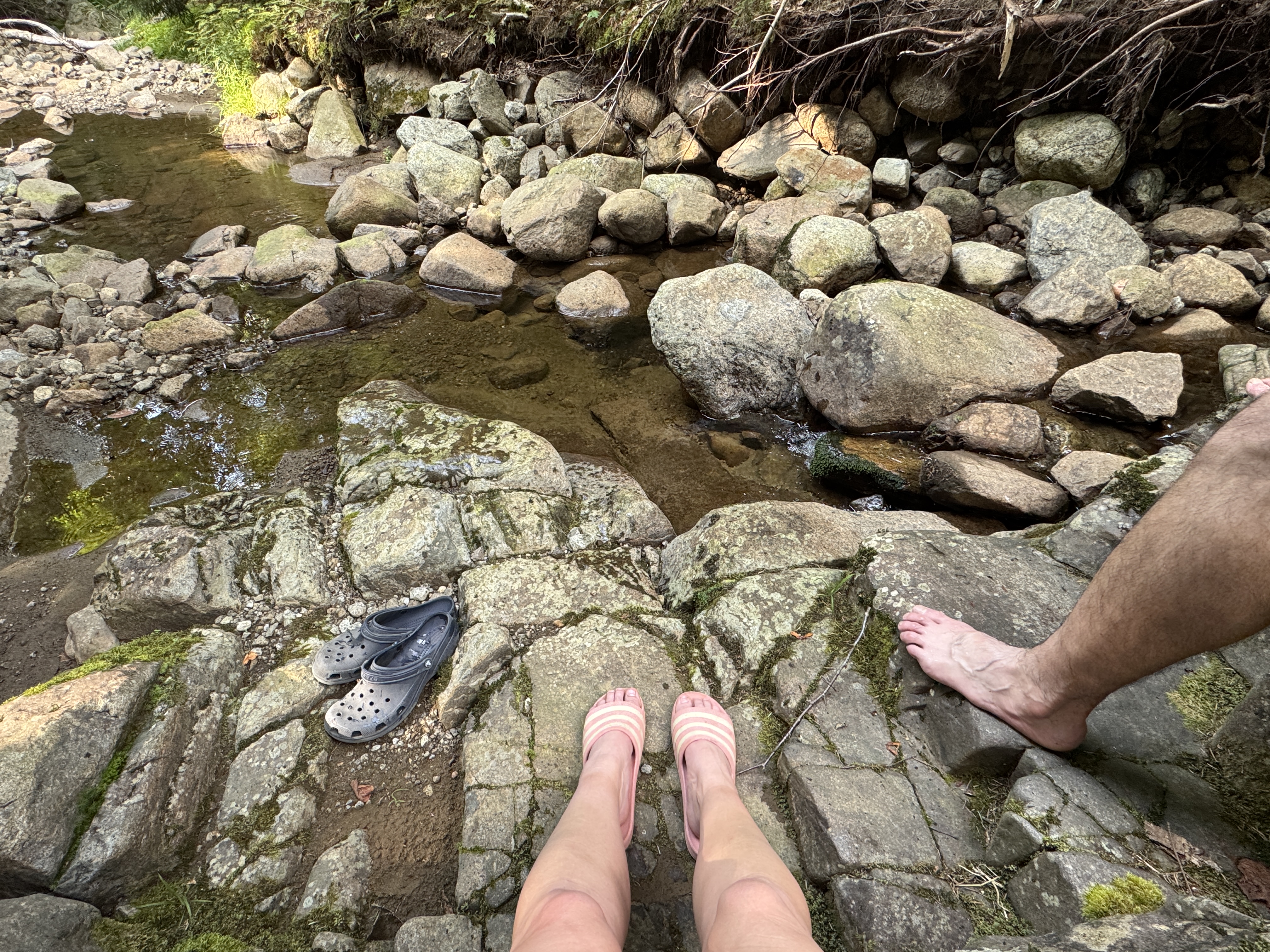
We threw the tent up in a jiffy to secure our new home for the next two nights and immediately – and I mean IMMEDIATELY – scampered down to the brook and sat on some very nice rocks to soak our feet and examine our route on the map for the next day.

By 6pm, camp was totally set up and we set about for some relaxation, playing some cards in the tent before the sun went down.

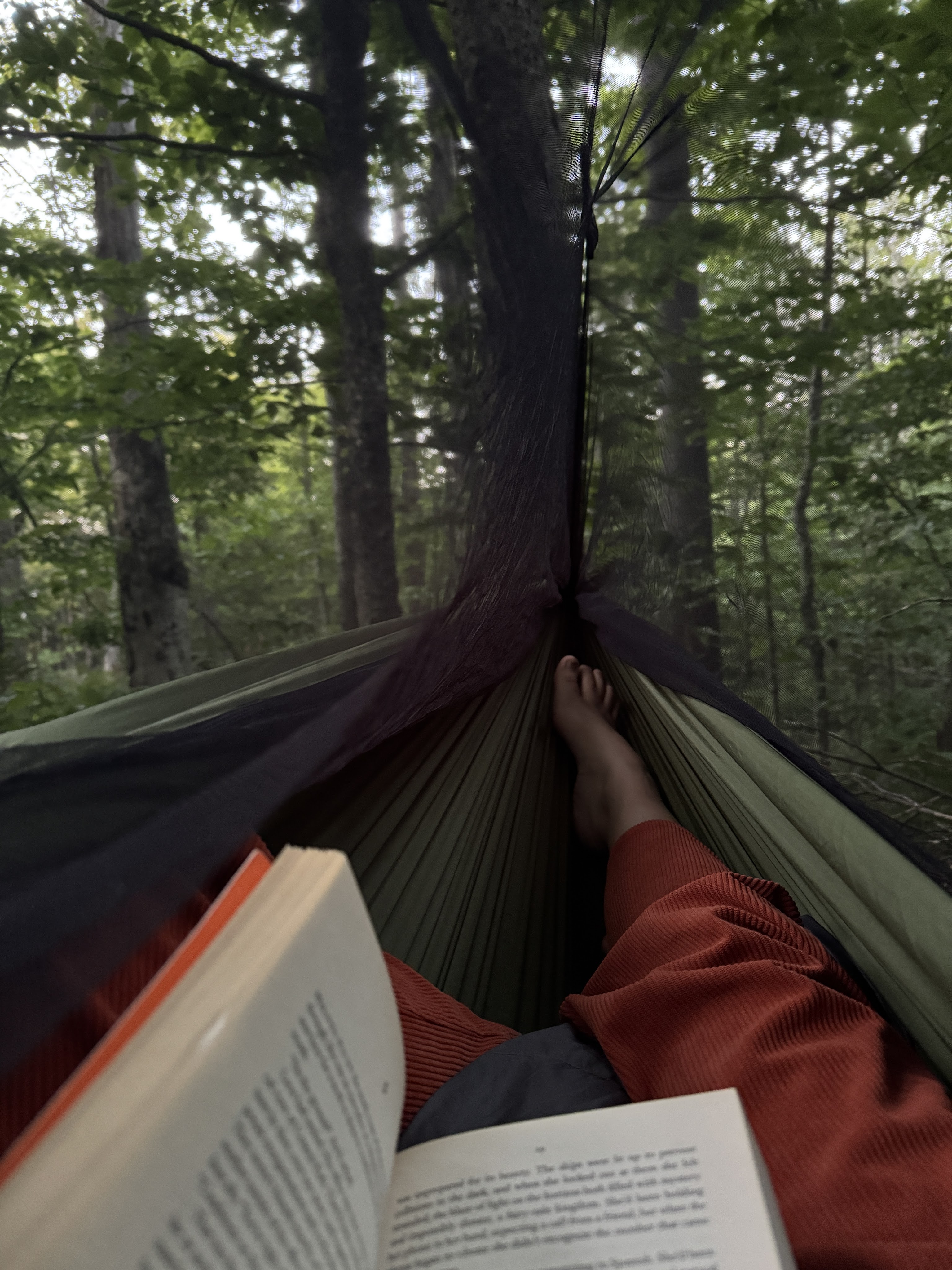
Not sure if it was the hike, the heat, or the stresses of the week, but I was soooo tired. I cozied up in my hammock a little before 8 to read until I couldn’t anymore.

Friday 8/15 – Trekking

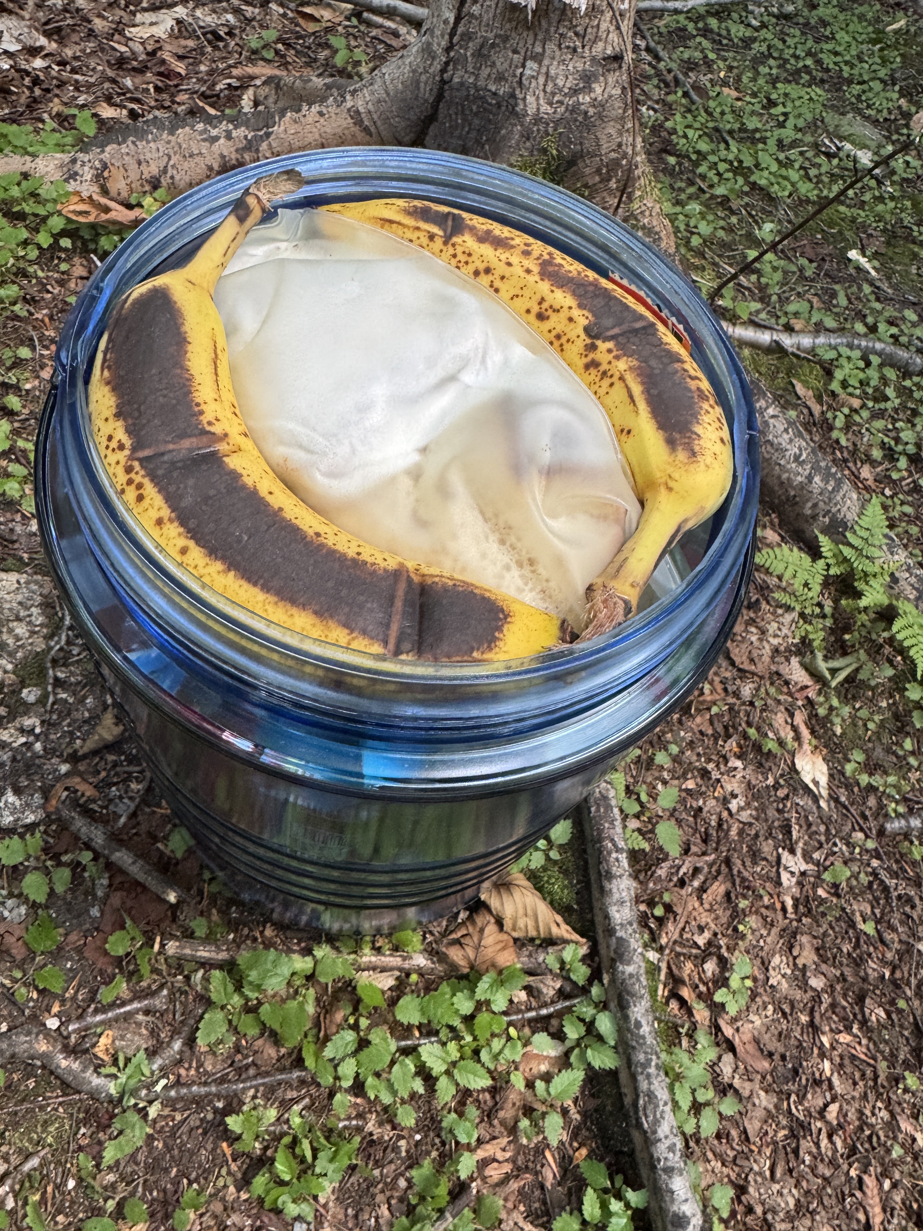
Well, despite being so very tired, guess who was up most of the night?! I swear, my inability to sleep before a big hike must be chronic. Nevertheless, we were up and moving about by 6:30am to load our pack and eat some breakfast. Check out how masterfully I packed this bear can – can I get a round of applause please?

Can’t forget the coffee!

We may have been sleep-deprived, but we were so happy and excited for what was to come! One thing to take account for on this trek is that once you’re up on the ridge, there’s no water source. So we topped off our two nalgenes and filled our 3L water bladder with water from the brook, and packed our sawyer mini filter with us to grab more water on the way back down the range.

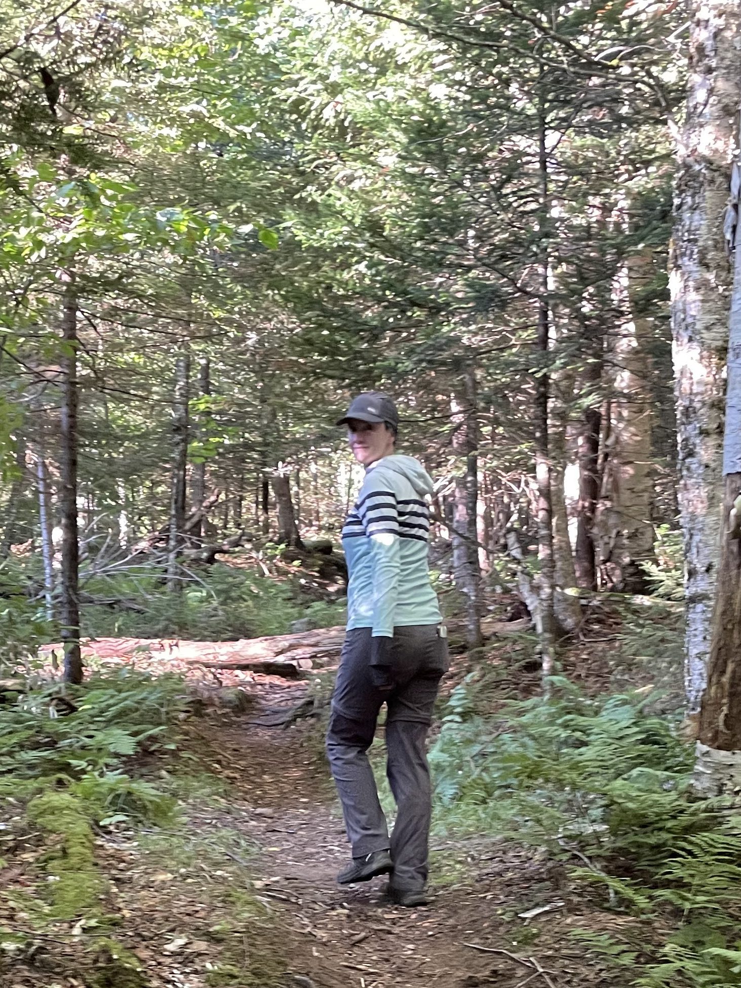
It turns out my sherpa is sneaky sneaky and takes pictures of me walking like a zombie. I am not an early bird, but here I was at 7:30am leaving camp to go climb an absurd number of mountains.

Within 10 minutes we passed the Wolf Jaw Lean-to. Everything was quiet and seemingly empty this morning.

I just love the long shadows and bright green in the early morning sun through the trees.

Freshly-made spider webs clung to tiny branches in the trees – which are pretty until you take one smack to the face. Perils of being the first people on the trail for the day.

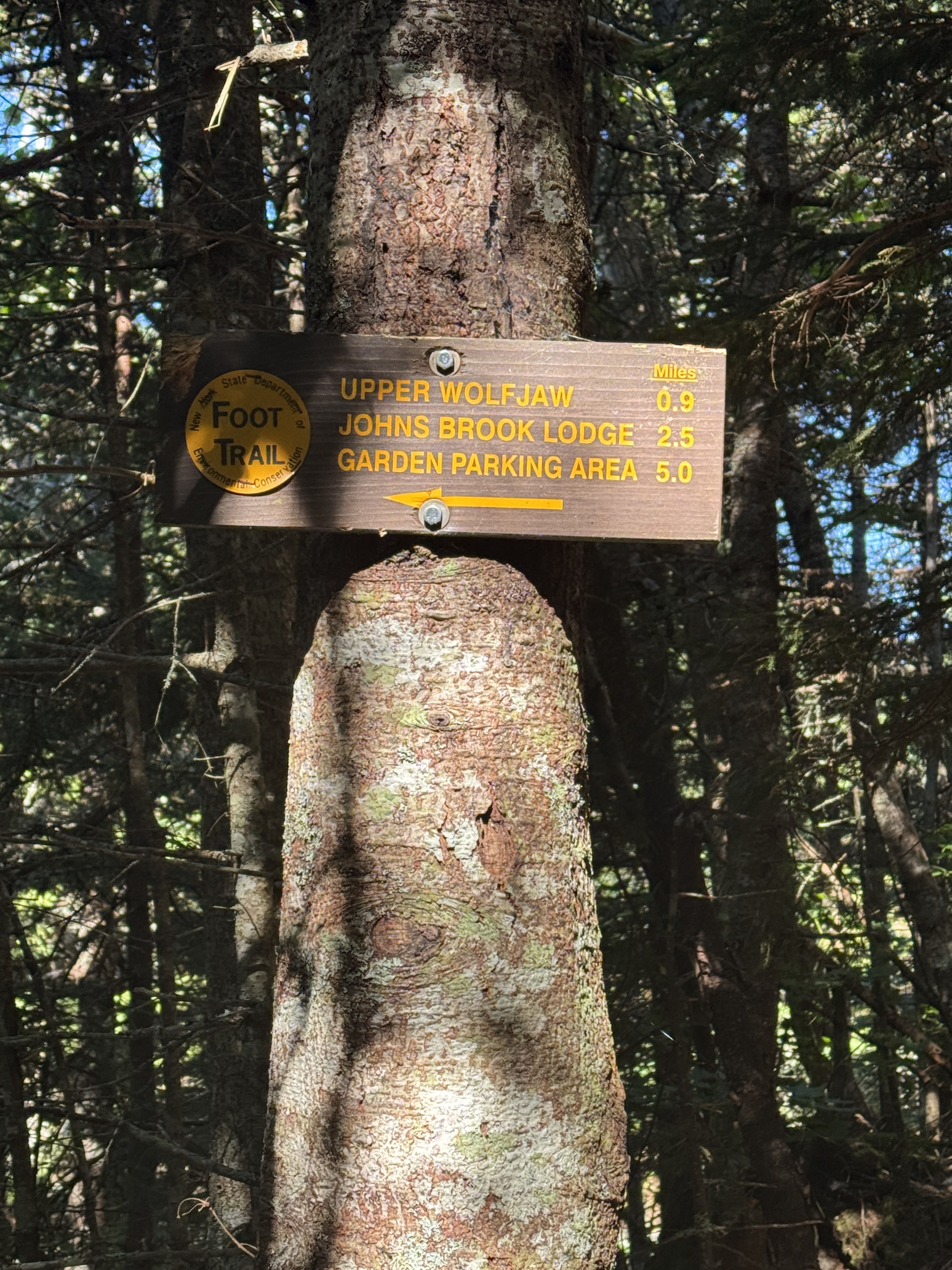
Somehow it took us 20 minutes to reach the junction to the wolf jaws. So I’m thinking the campsite was really only like 0.3 miles up the trail rather than being much closer to the lean-to. We stayed on the red trail here and began the 0.9 miles up to the range!

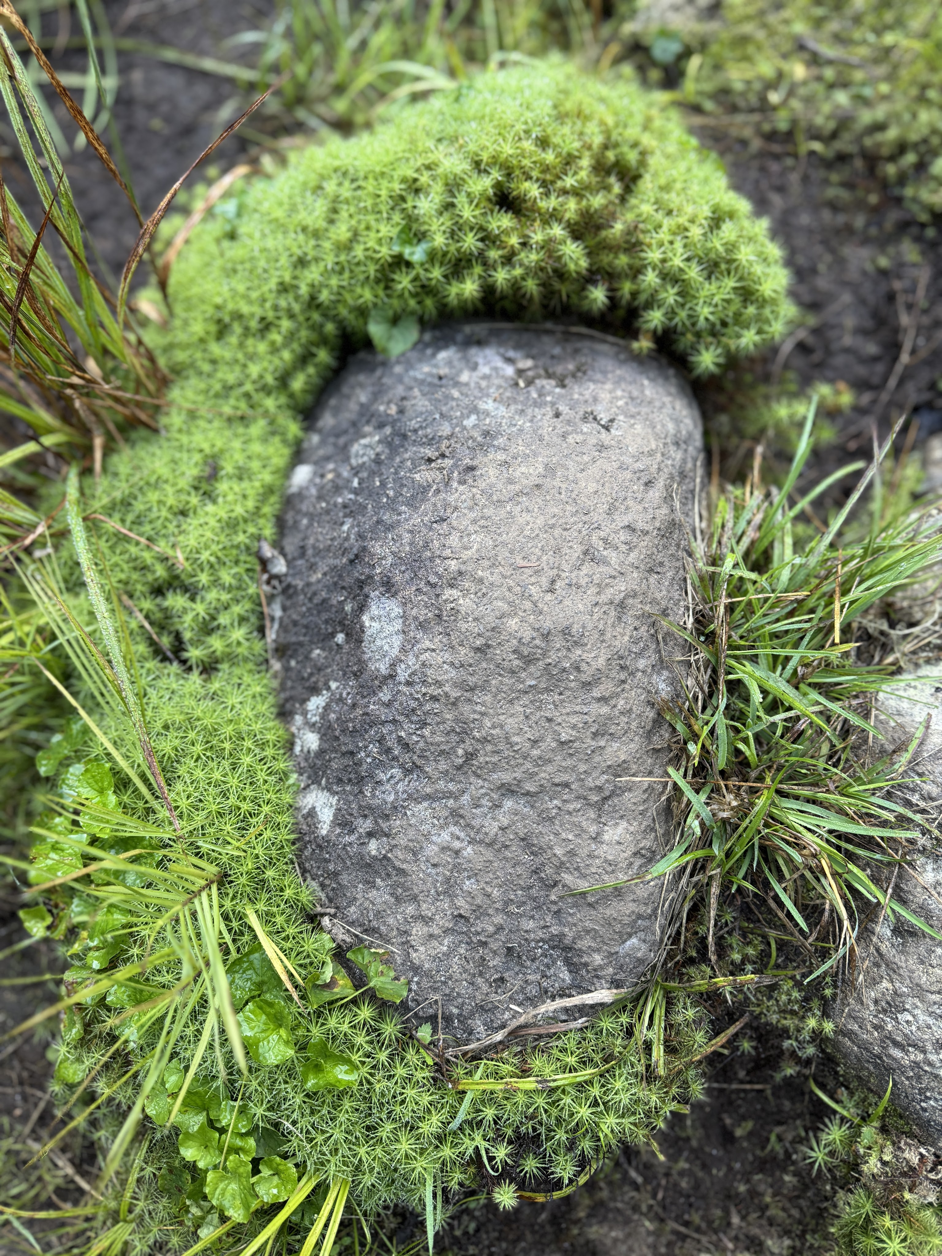
At some point, I spotted this gorgeous green moss surrounding a cute rock and took a picture.

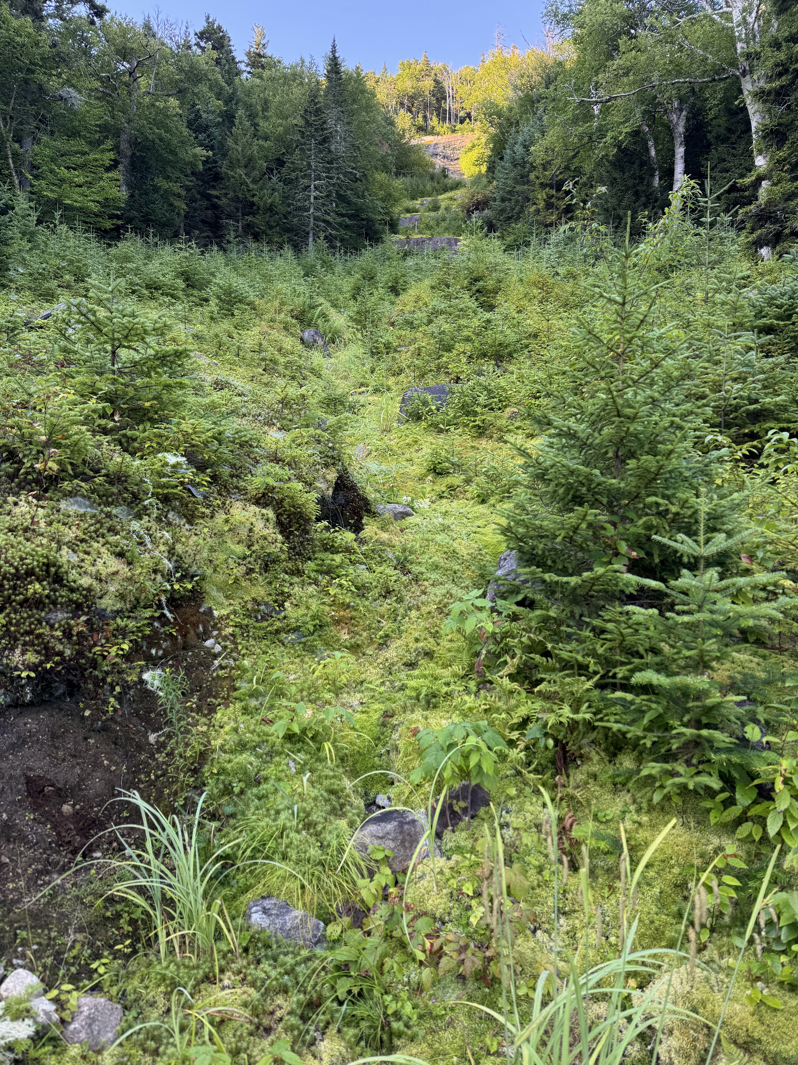
Which is when Gildo pointed up to literally a whole field of cute rocks surrounded by gorgeous moss.

In general, we were in very good spirits, feeling strong physically, and the trail was in great shape. We were so grateful to not be doing this in the rain like our fated HaBaSa trek 3 weeks prior, when boughs from the trees crowding the trail continually dumped water all over us. It wouldn’t be the Adirondacks however without at least a little mud!

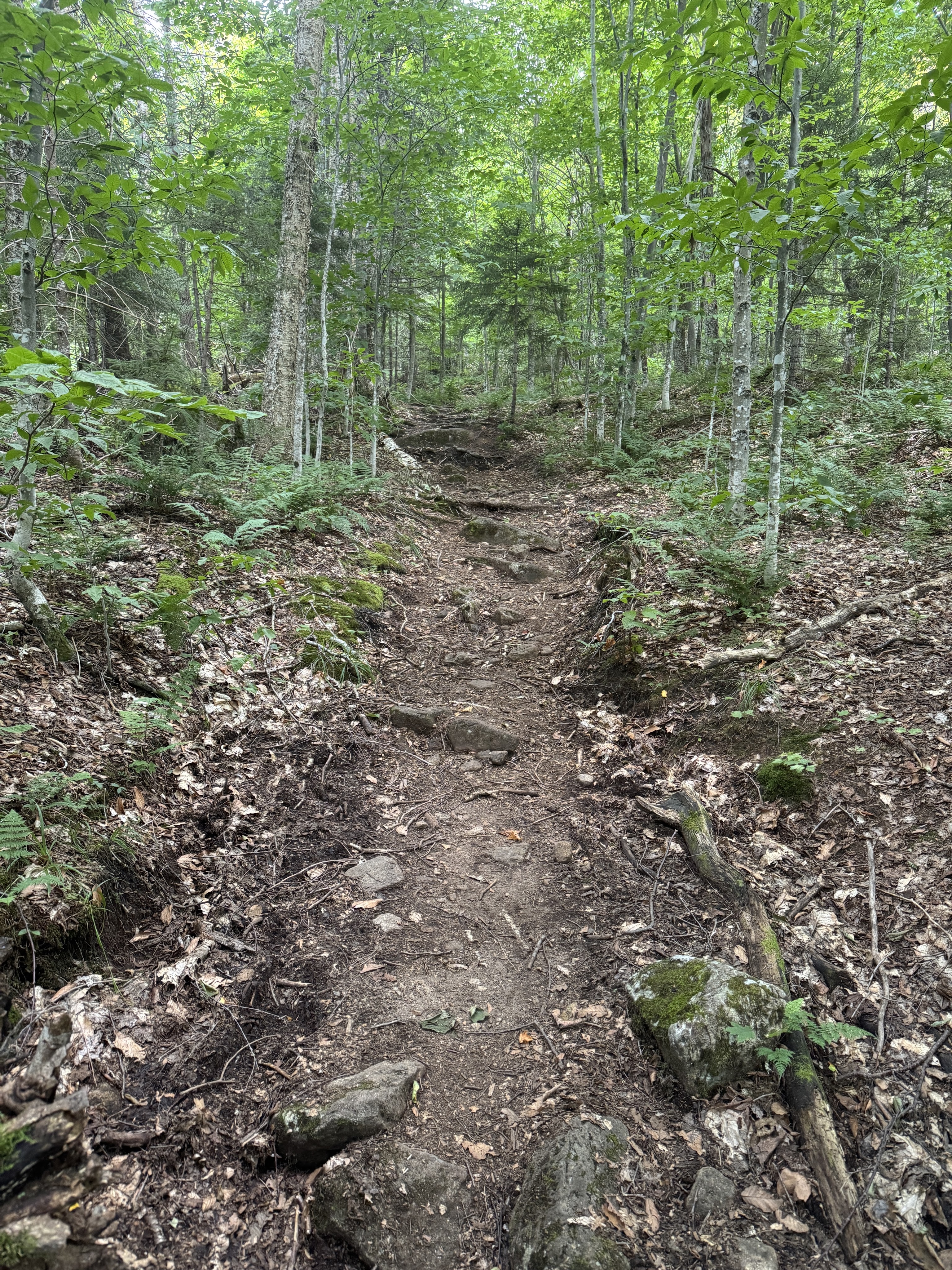
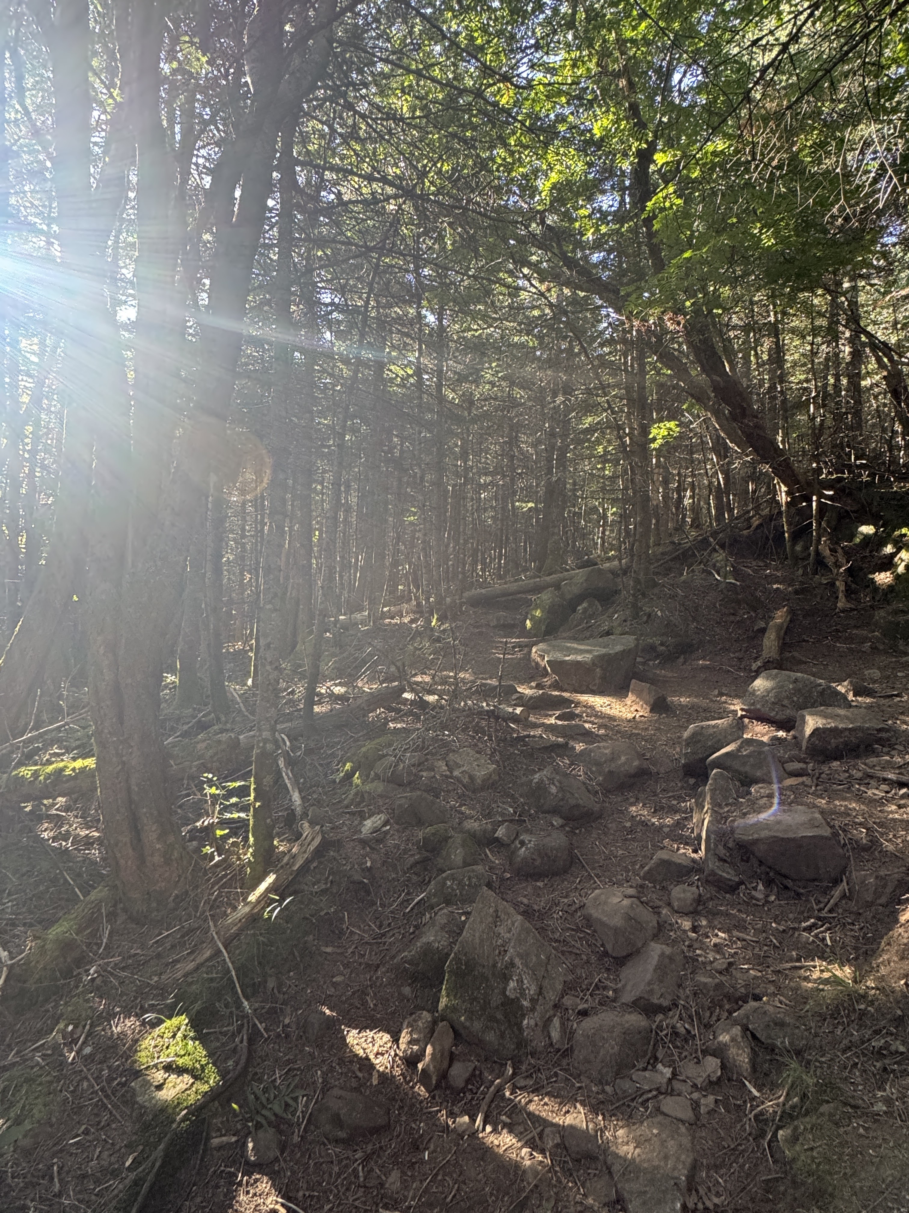
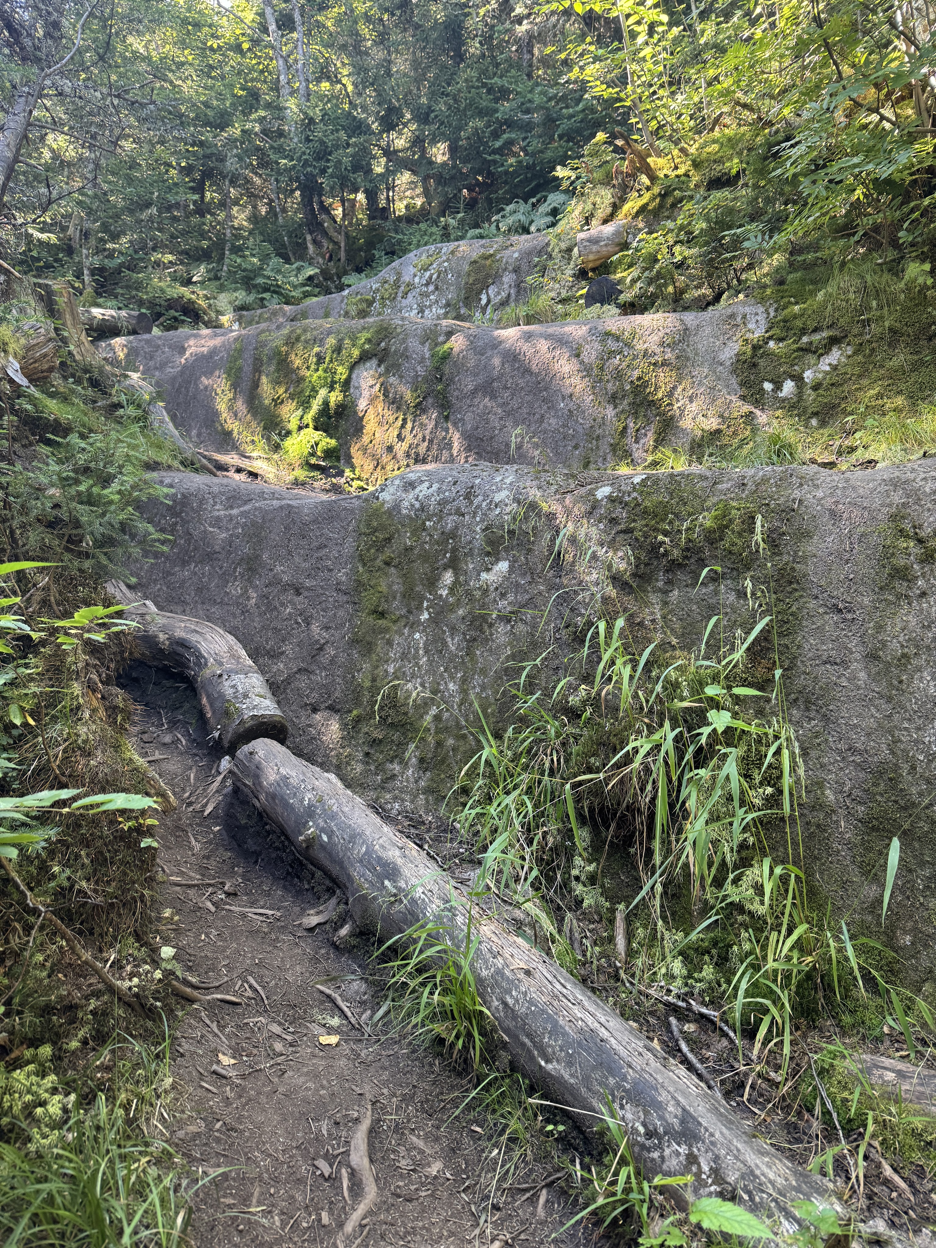
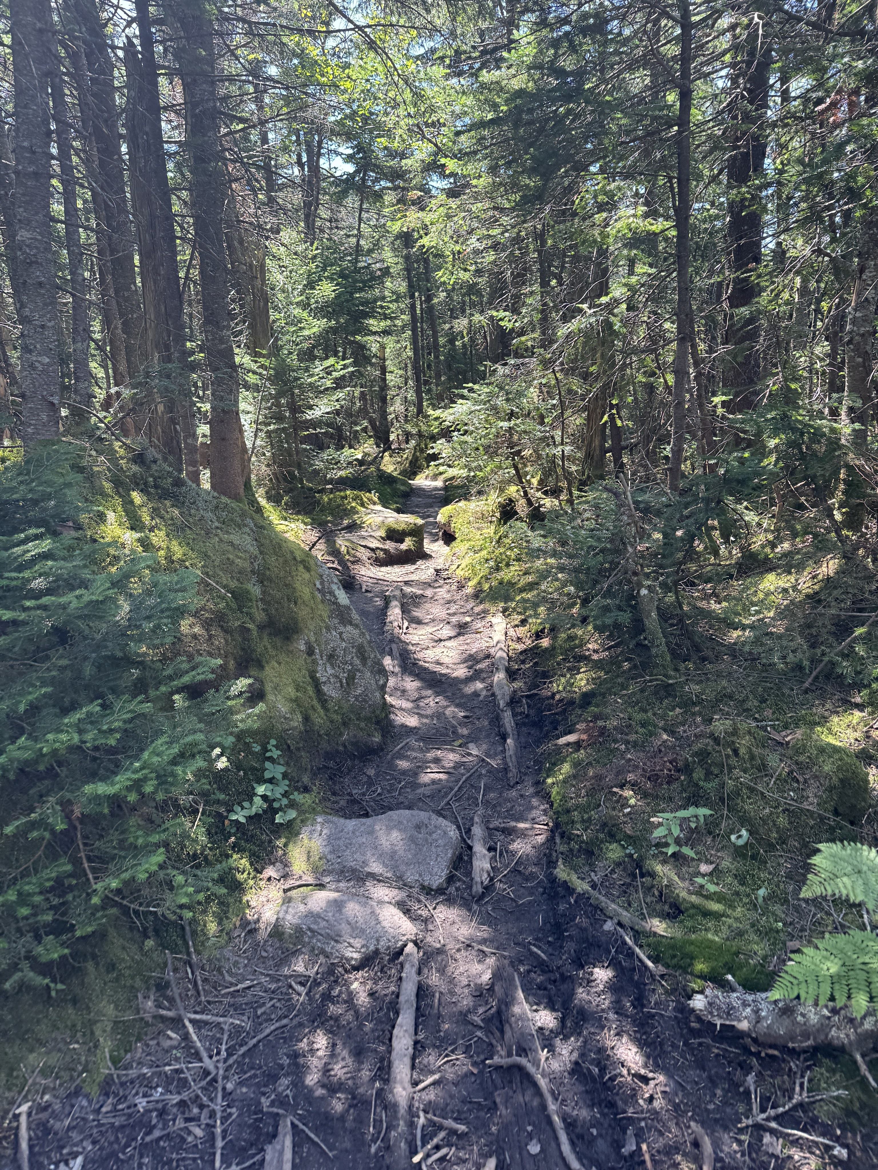
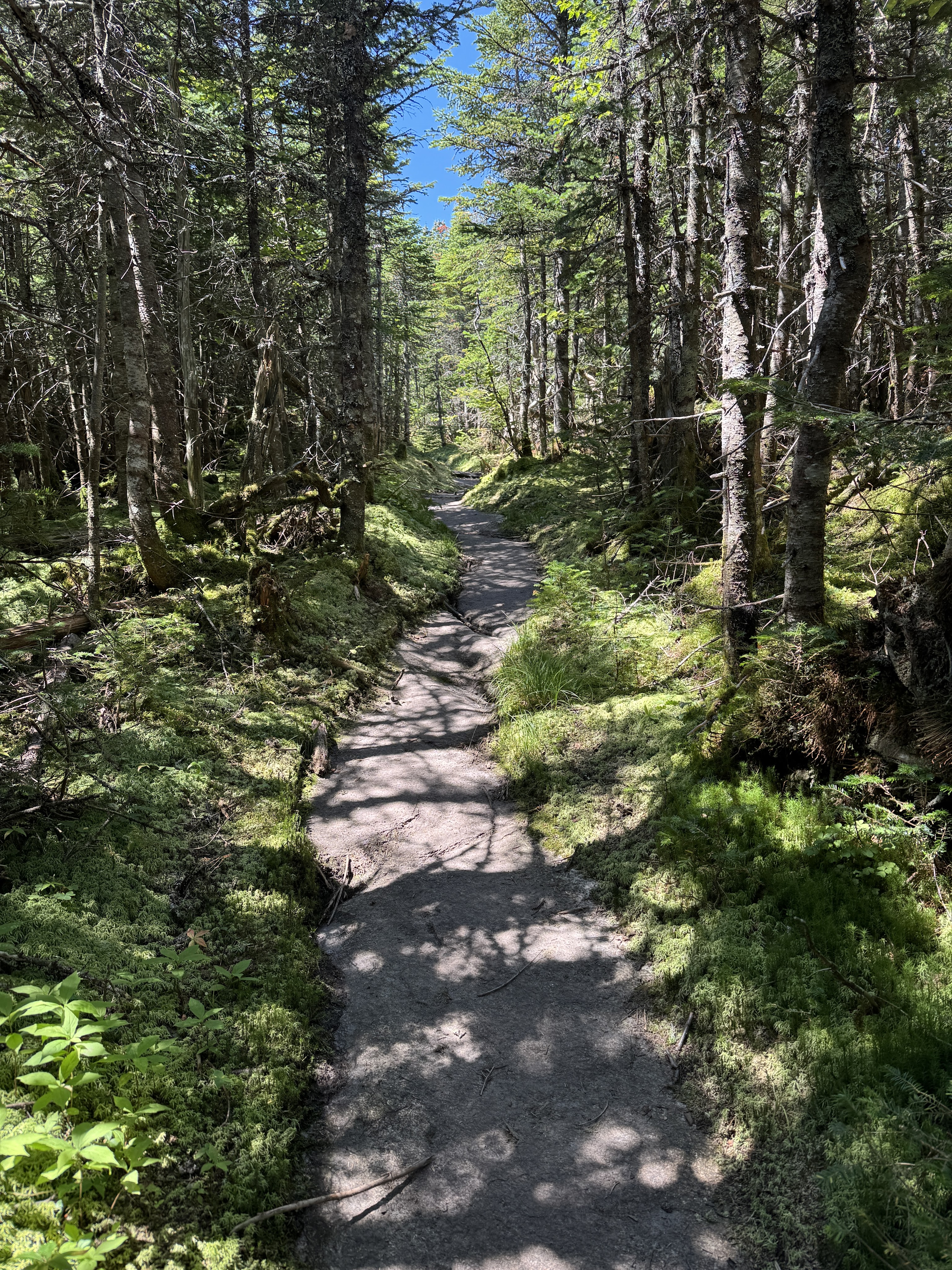
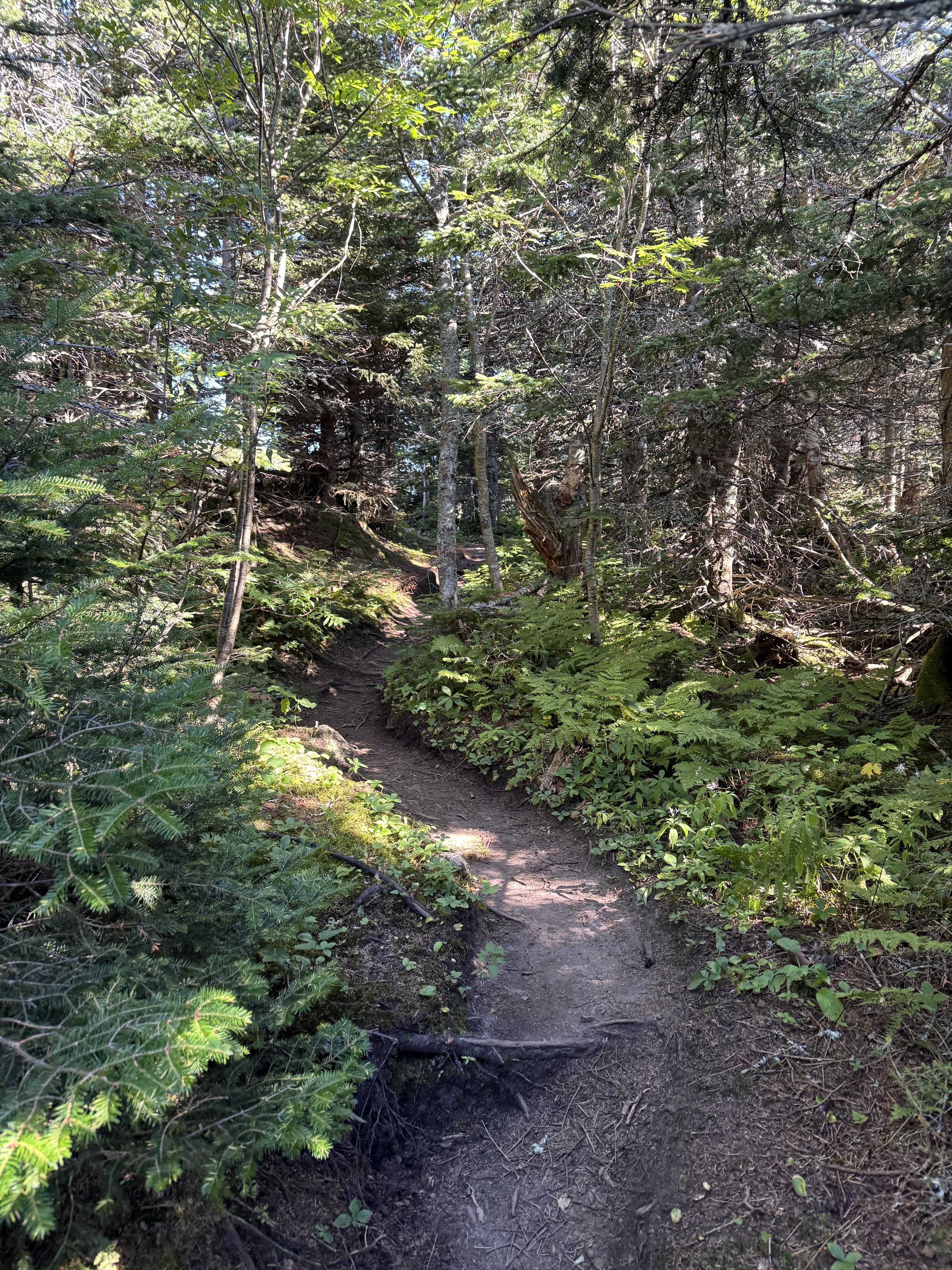
For the most part though, the trail looked like this. Dry and wide and rocky. Can’t get away from rocks here.

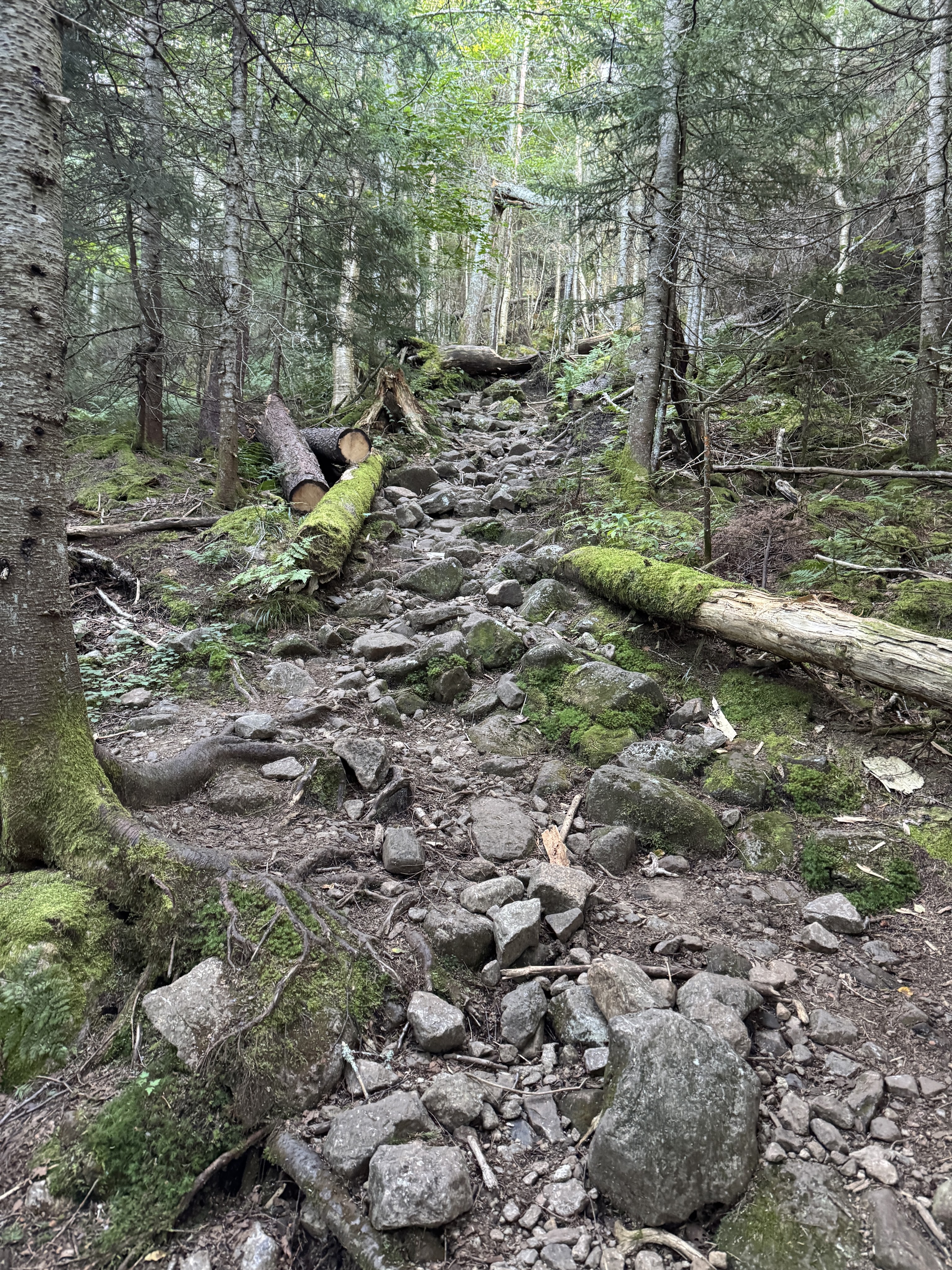
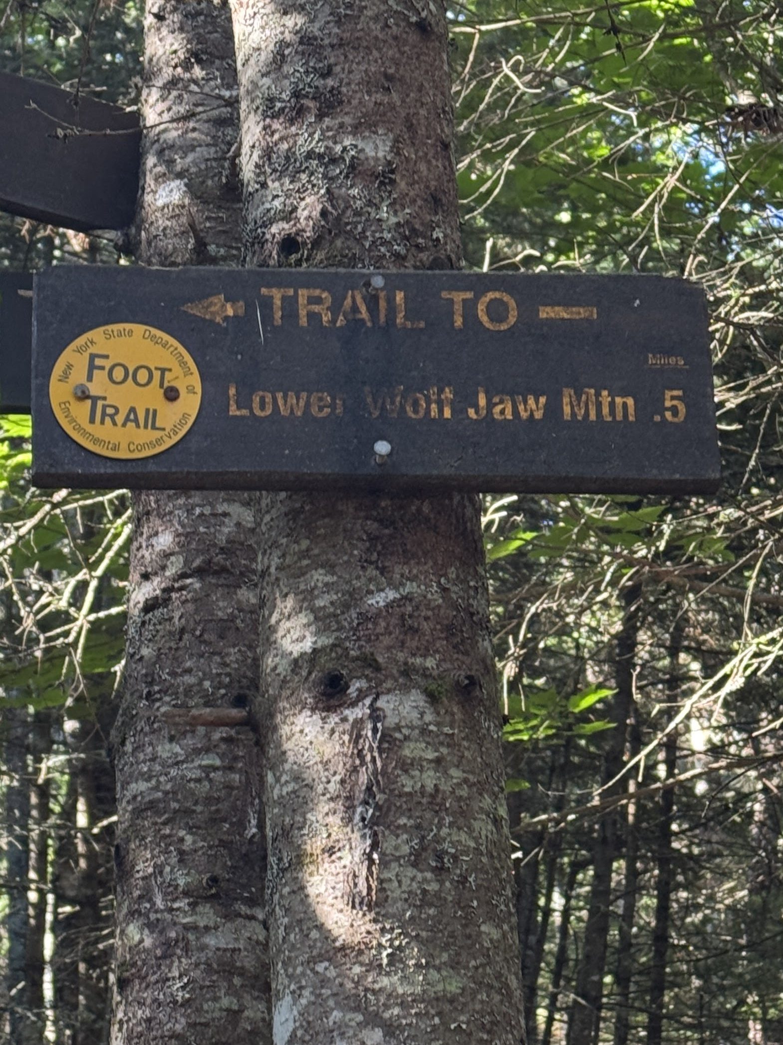
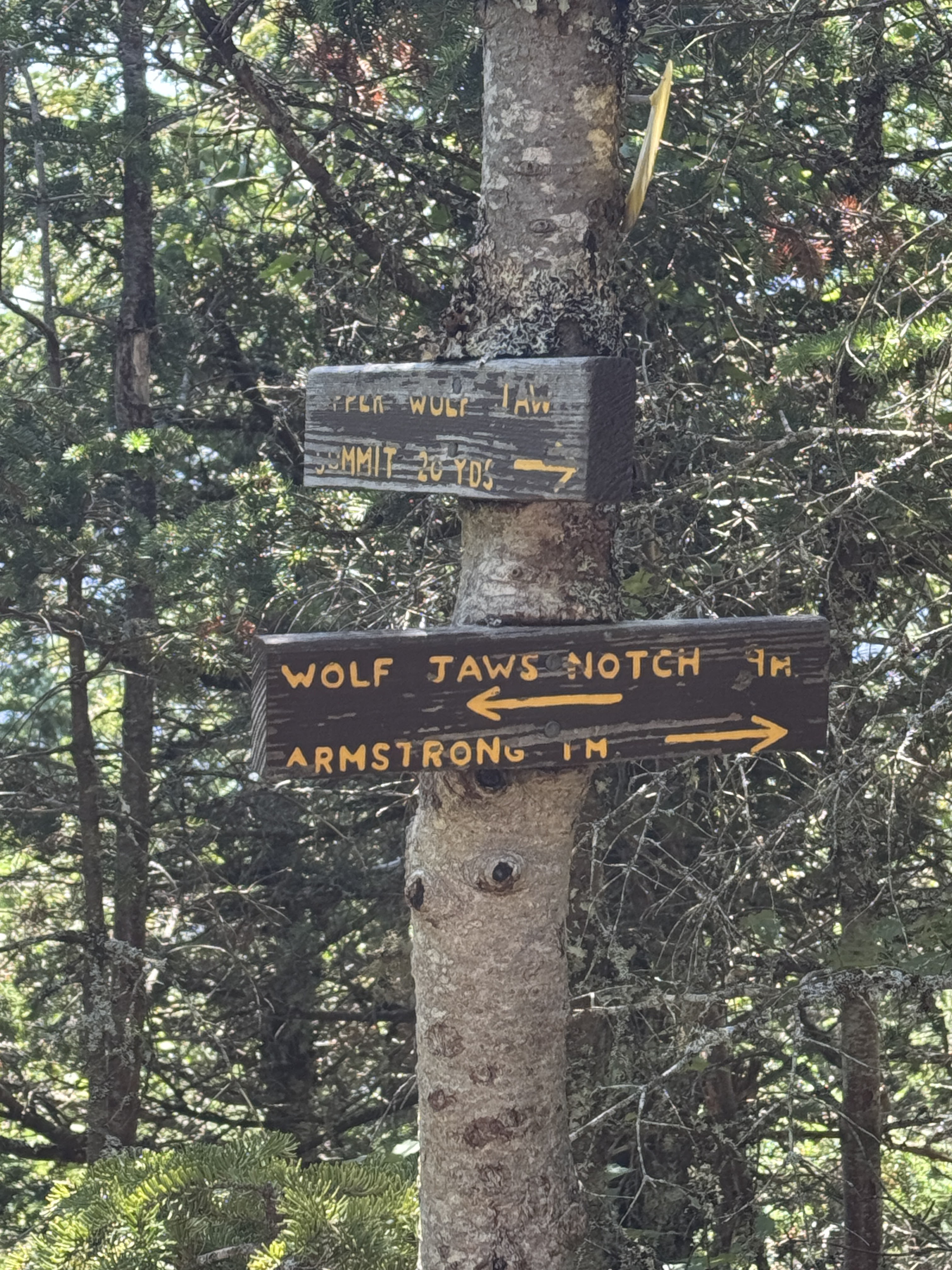
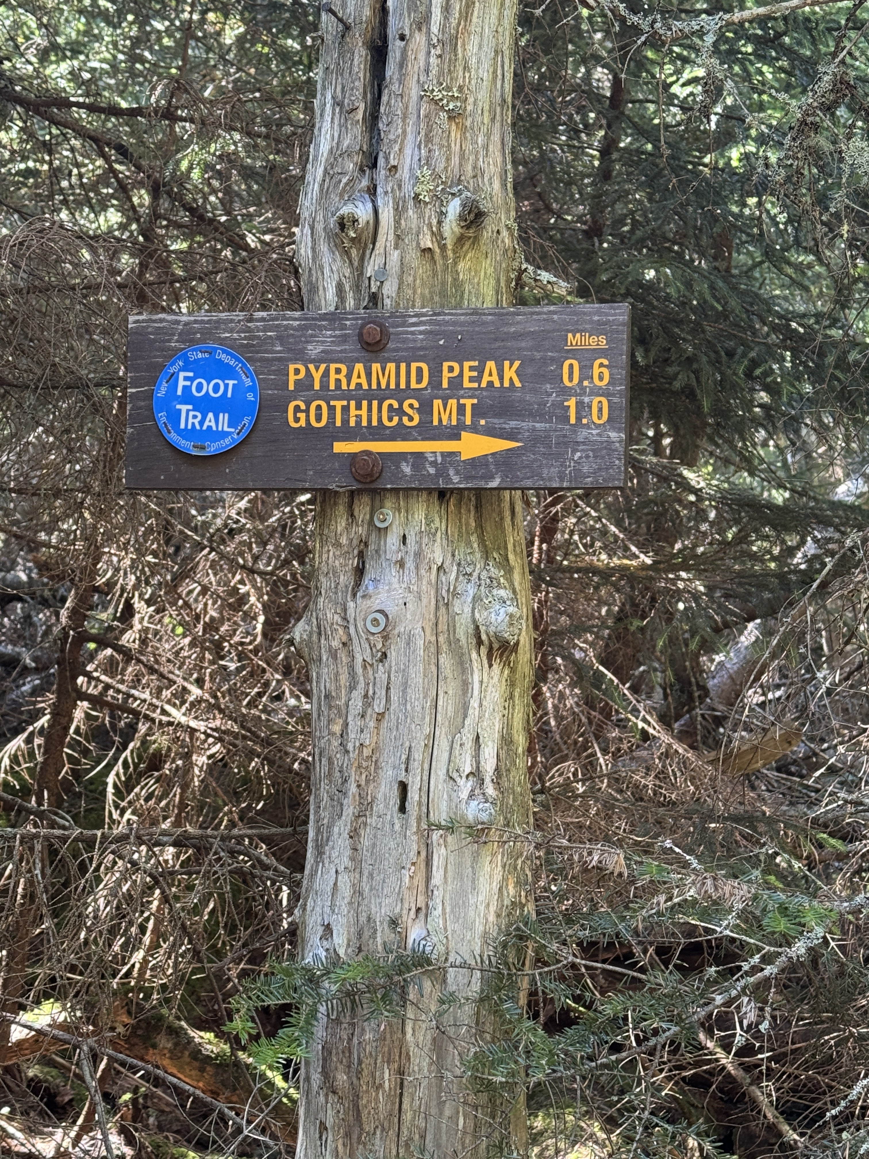
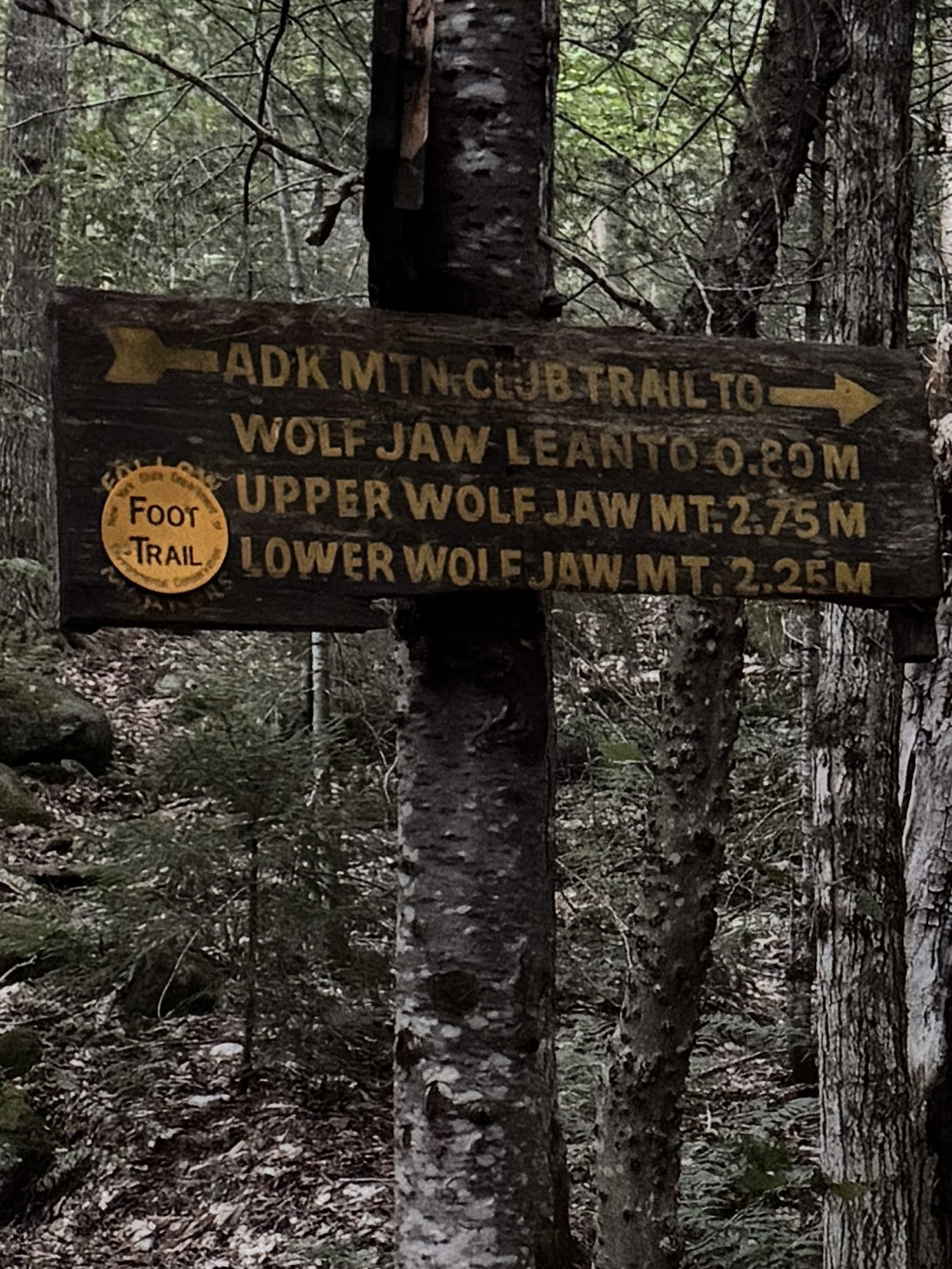
40 minutes after leaving the last junction, we arrived at the top of the ridge. This junction and the next one are a little bit confusing – while this junction appears as a single dot on the map, it’s actually a bit more spread out than that. Go to the left toward Lower Wolf Jaw…

Walk down this path for literally 1 minute…

And boom! The rest of the first junction. We could see how people might get turned around here.
We thought this was a good place to take a quick break, hydrate, and have a snack for a couple of minutes.

Another 0.2 miles and we were at the next junction. This is a 3 way junction, but only 2 of them appear to be marked with a sign – the way to Lower Wolfjaw is straight up some rocks on a well-defined path but there’s no sign that I could see to indicate that.

Up until now, the trail was very walkable with few spots that needed upper body involvement. But immediately after the second junction, that all changed.

That said, it was still pleasant, the rocks were dry and easy to grip, and we enjoyed views of Upper Wolf Jaw behind us on what was turning out to be a bluebird day.

It really is a lovely hike up to Lower WJ. Interspersed with the climbing sections are spots like this – it’s definitely not a long grueling hike to the summit like some other mountains I know (looking at you Iroquois).


20 minutes and 0.3 mile past the last junction, we were sitting on a rock we decided was the summit along with another hiker, and a few others who joined while we enjoyed our break. High Peak #34 is in the books!

We were feeling fantastic at this point – we hit our first high peak of the day less than 2 hours after starting and we felt full of energy.

My poor sherpa has to put up with this all day. Send thoughts and prayers.

We didn’t linger but a minute before turning to make our way back to the junction and on over to Upper WJ. We made it back to the closer junction at 9:50am (and I saw there WAS an indicator to LWJ, I just…didn’t see it somehow on the way up?).

And to the second junction 10 minutes later. From here just 0.9 miles to Upper WJ.

After a bit of flat and a bit of down, we started some solid climbing. But again, compared to HaBaSa this really felt like a piece of cake.

Looking back we could see al the ground we’ve already covered from Lower WJ.

After hiking for 40 minutes, we saw a spur in the trail leading to a rock, from which we could see our destination. But the thing is….we weren’t sure what we were looking at? When the trail started going down again quite a bit we questioned all we knew to be true. Were we just on Upper WJ and therefore heading towards Armstrong? Did we…miss it? Seems impossible considering there’s only one way to go. Either way, we just kept on going.
After a bit more climbing, we stood upon a nice ridge looking out to the peaks in our very near future.

There was a good amount of this throughout the day – volume up to hear me complaining about it.

Upper wolf jaw
//s.imgur.com/min/embed.js

Notice that big smile on his face? It’s because he thinks we were about to summit our THIRD peak of the day, believing we’d already gone up and over Upper WJ. Look how happy he was.

PSYCH! We had not. That bump we went up and over was presumably Wolf Jaws Notch, something that is NOT INDICATED ON OUR DANG MAP. Humiliating. We hung a sharp right here to scramble up the rock to the summit of Upper Wolf Jaw.

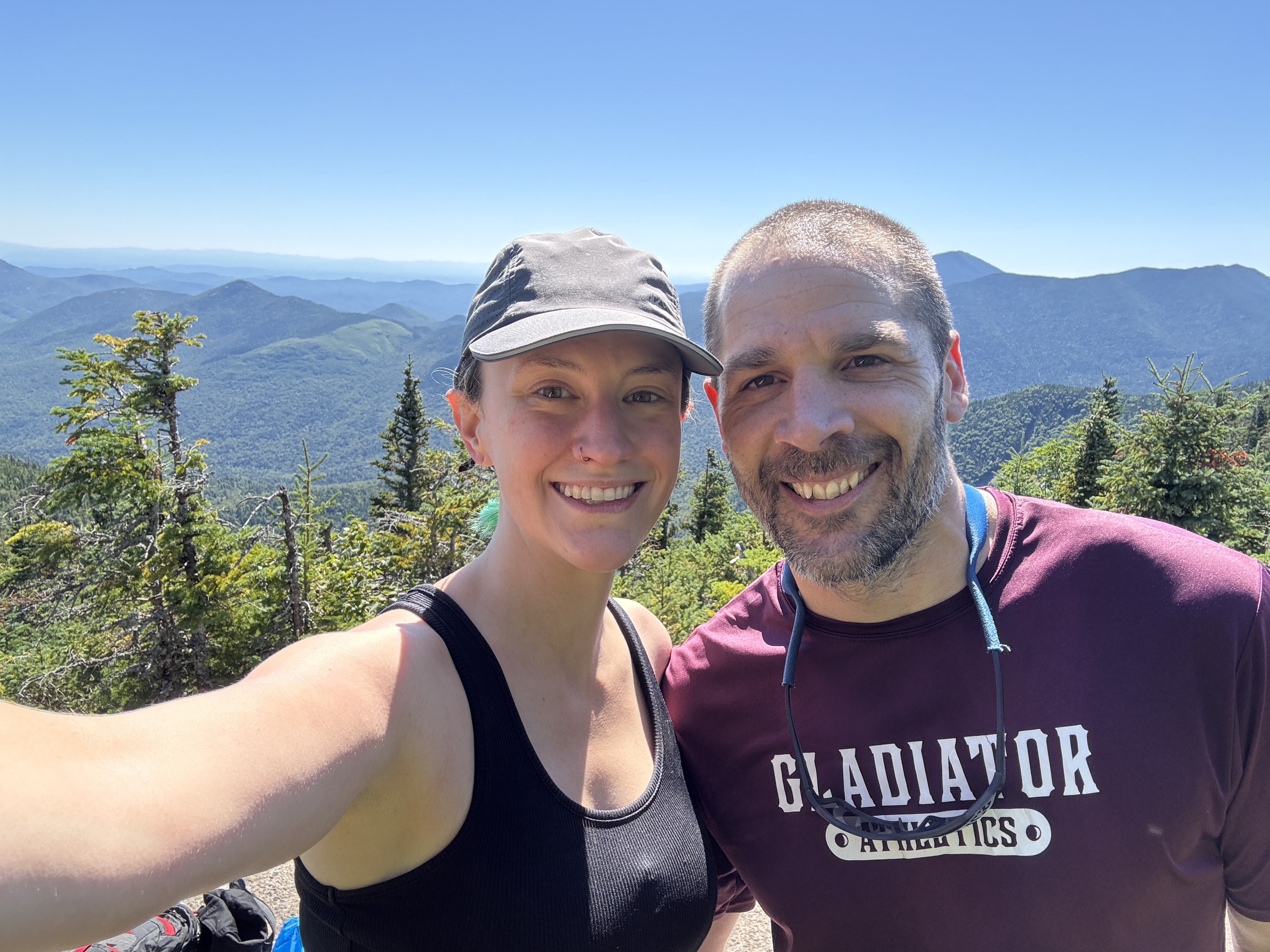
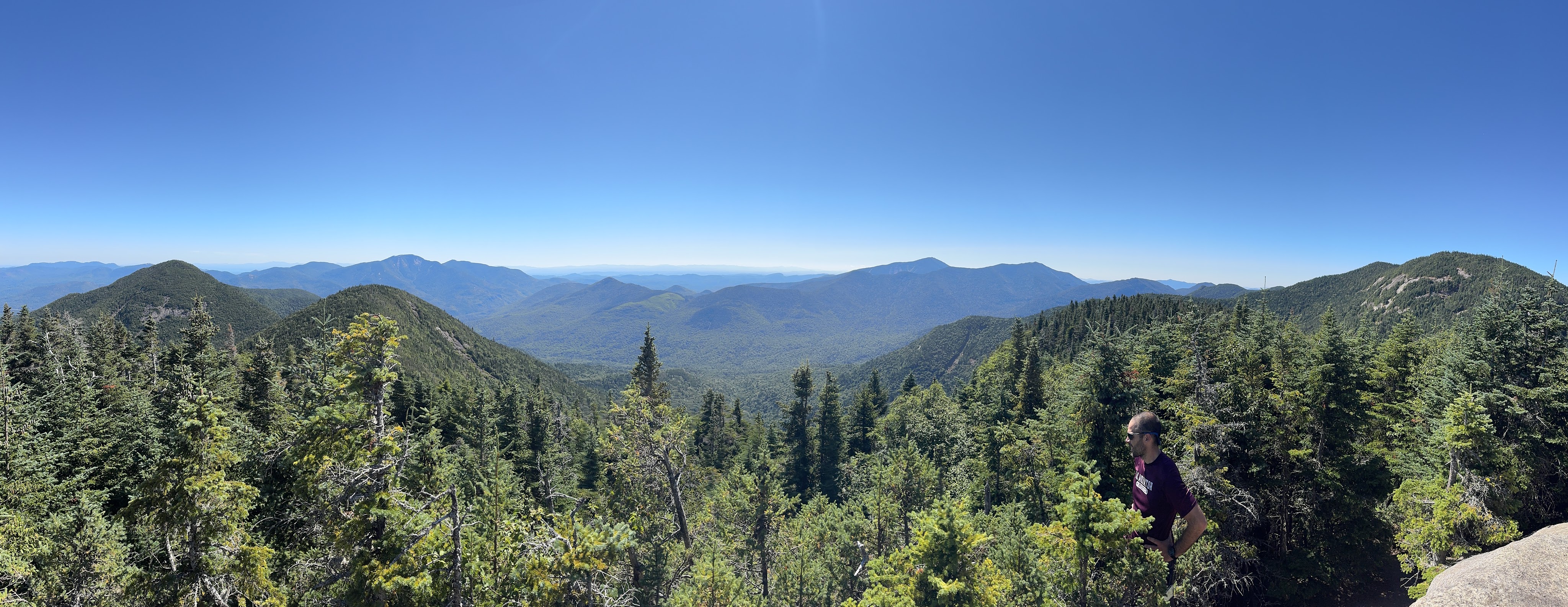
What a view! We shared the rocky ledge again with a few other happy hikers, all of us in high spirits with how gorgeous the day was turning out to be. At 10:56am, we had hit summit #2 of the day, and my 35th high peak!

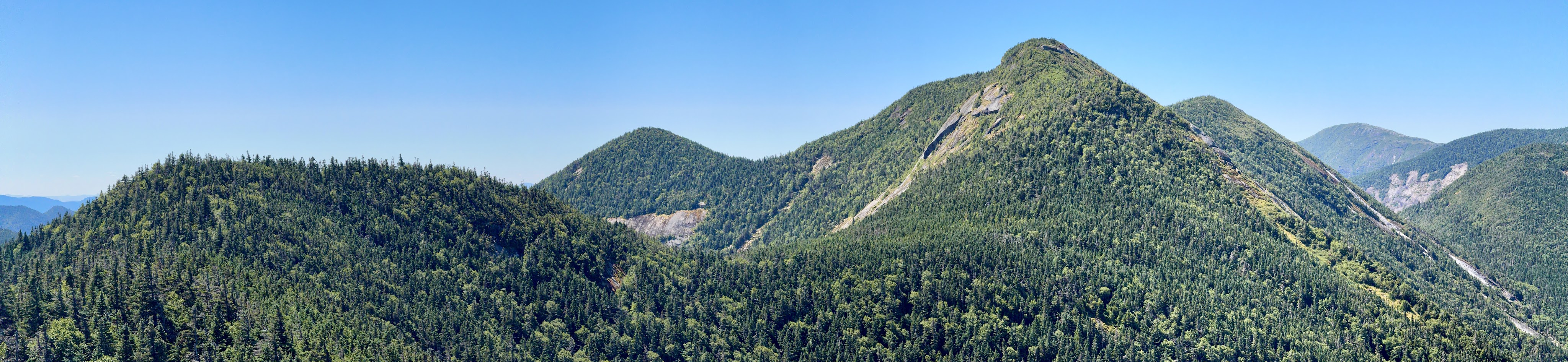
See that ‘little’ bump between Lower WJ and where I was standing taking the picture? That’s Wolf Jaw Notch – should be a peak in it’s own right, but it’s presumably not prominent enough.


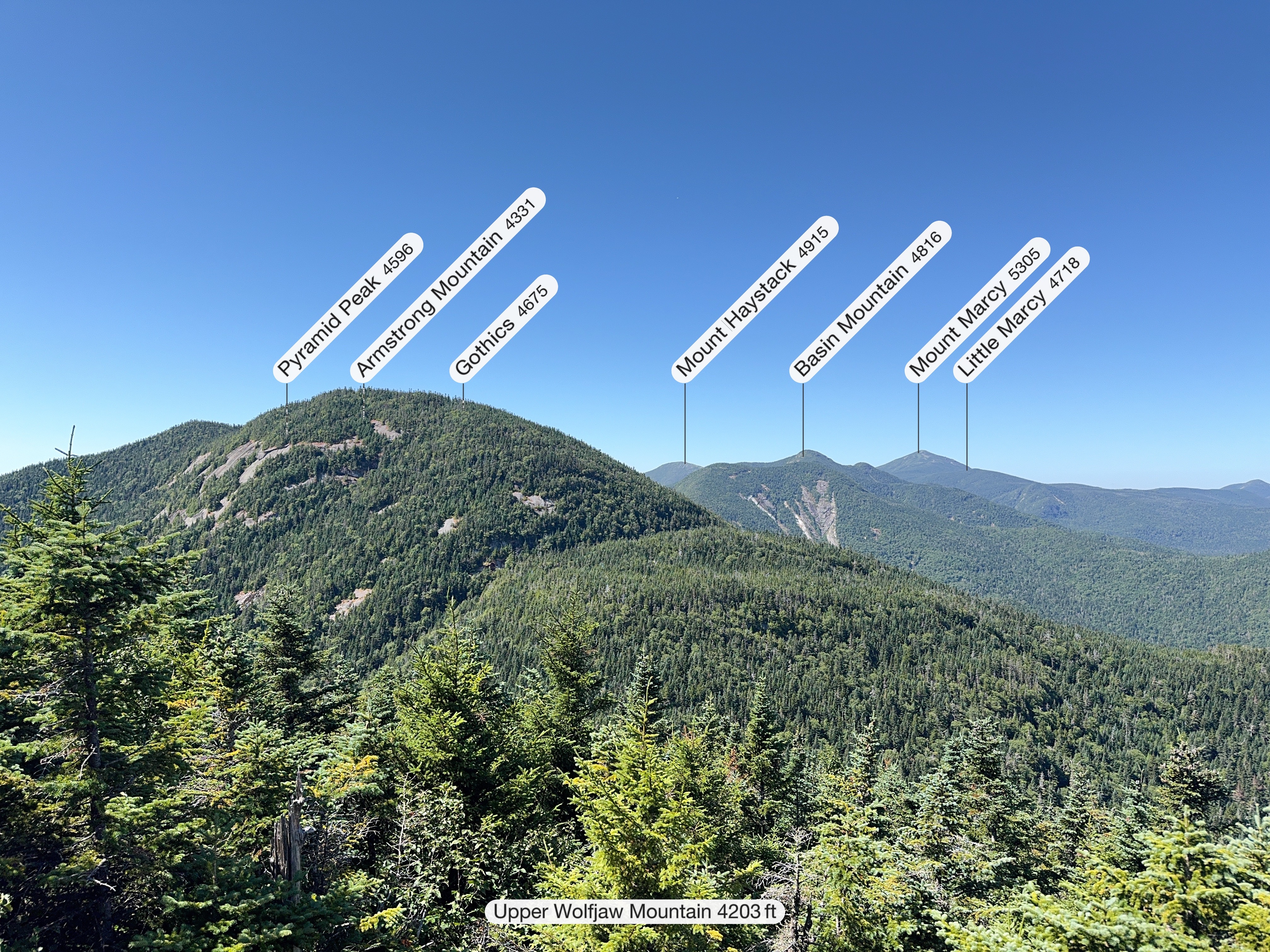
We had a cool view of the mountains ahead of us for the day – Armstrong, Gothics, and Pyramid in view, and Haystack and Basin from 3 weeks prior. Cool to know what those look like considering we were in a cloud for each one!

We rested up for just 15 minutes before heading back down and continuing on our way to Armstrong.

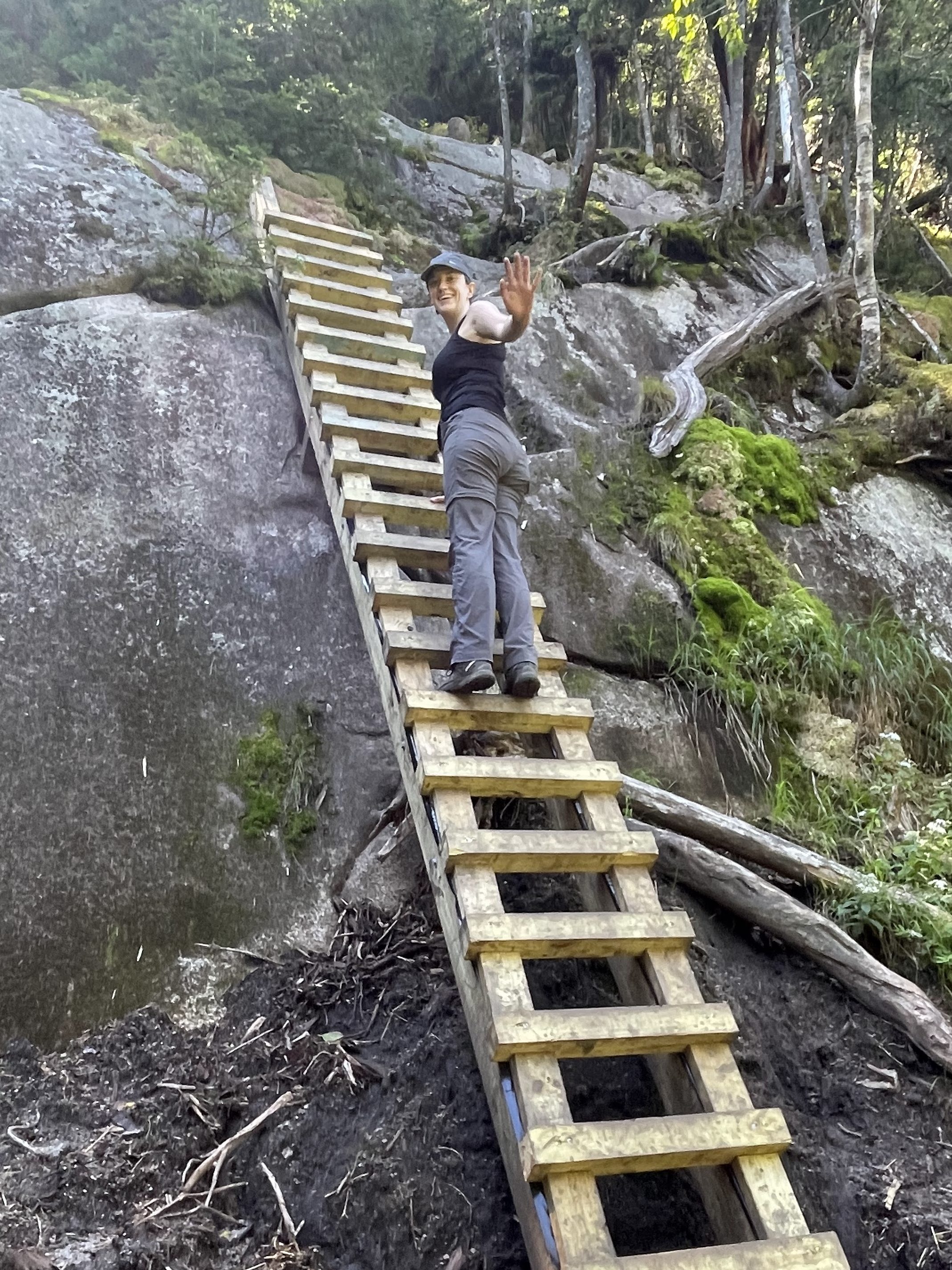
Descents between mountains in a range always feel so demoralizing, but it wasn’t really getting to us this time. I think with having done HaBaSa in the rain so recently, literally everything else feels easy by comparison. After about 25 minutes of descent and plateau from Upper WJ, we started climbing up Armstrong. I love a good ladder!
We stopped to admire the moss on our way – it was so lush with the rain this summer.

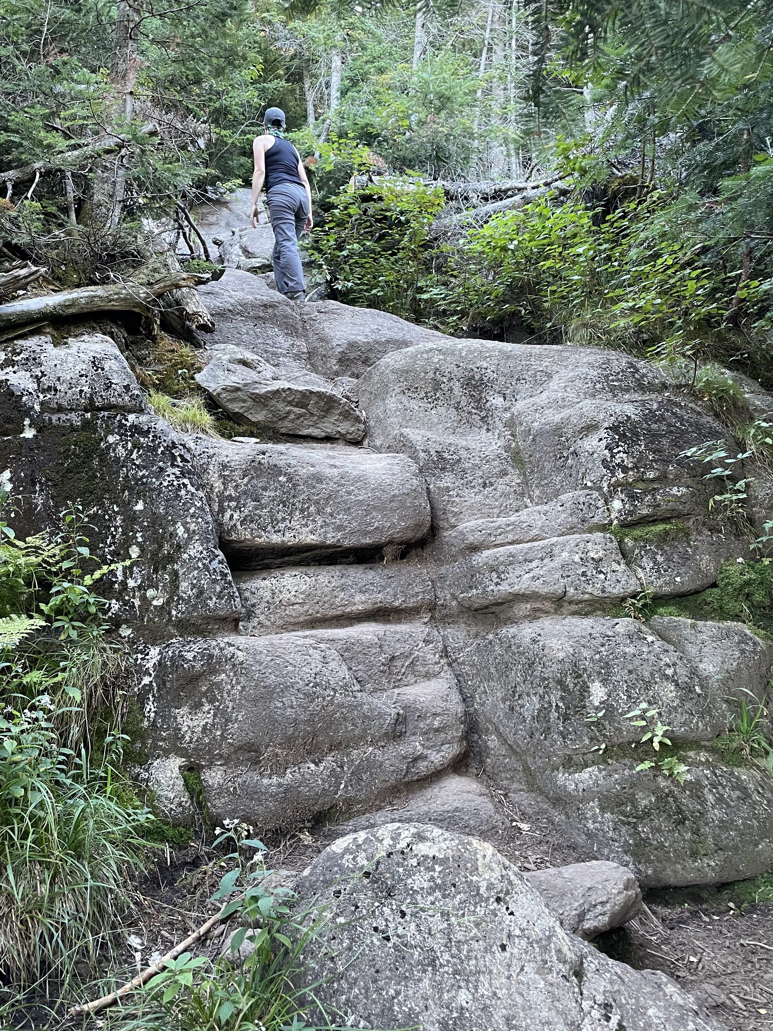
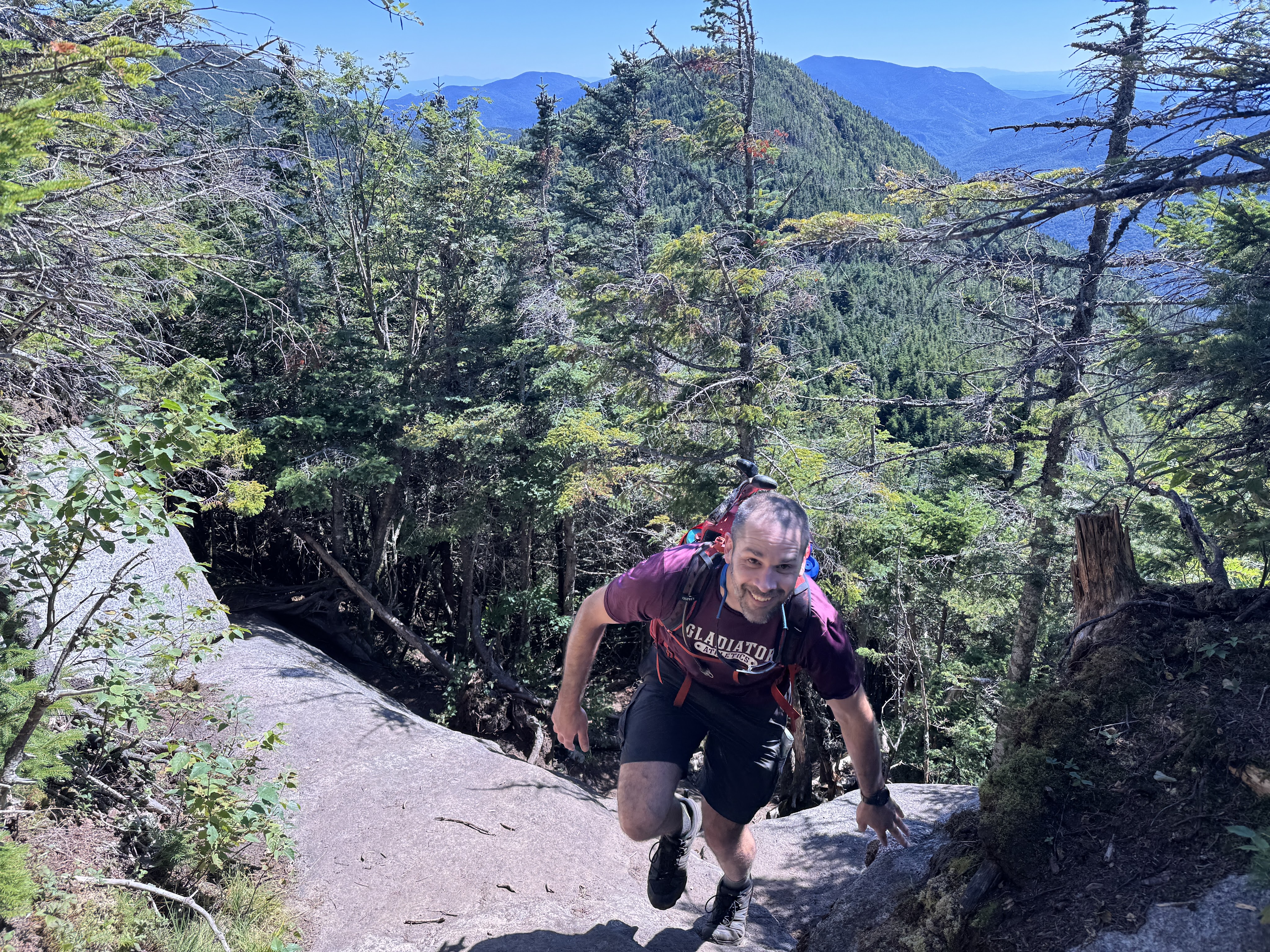
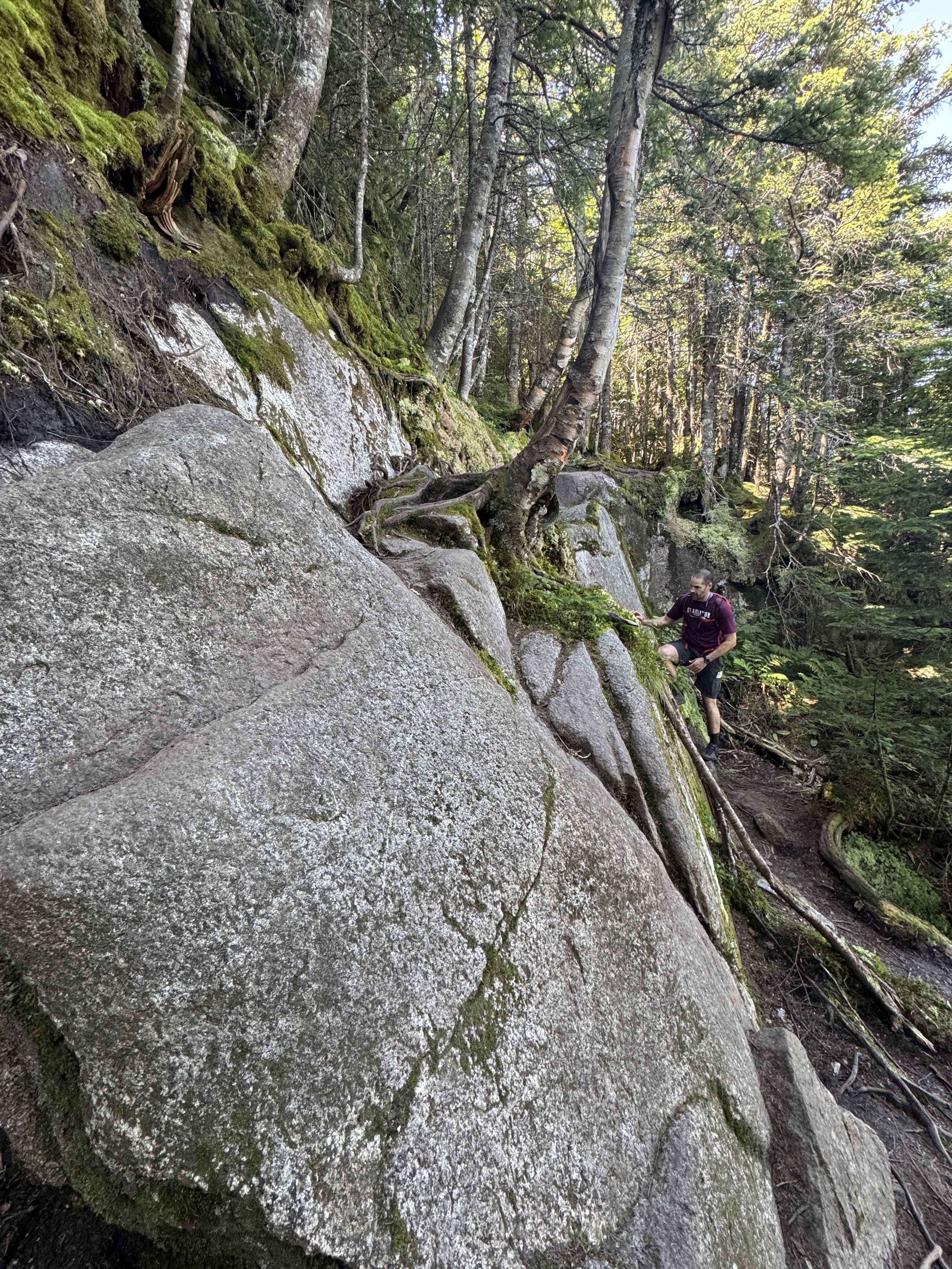
It’s so hard to capture the scale of the slabs of rock you climb on these hikes, so see Gildo for comparison.
After 40 minutes and 1 more mile, we were sitting atop the 3rd summit of the day and my 36th high peak!!! Single digits left from here on out!

These views did not disappoint. It seemed like each peak we summited had better views than the last. I loved looking towards Gothics but I couldn’t help but notice that Sawteeth wasn’t even visible past Pyramid peak, and the logistics of the day started to cast doubts in my mind.

I swear my knees aren’t bulbous, those are the knee braces I wear to keep my patellas from sliding off track. If you’re a seasoned reader, feel free to skip to the next picture – if you’re new here, Hi! I have a chronic connective tissue disease called Ehlers Danlos Syndrome and it pretty much wreaks havoc on my body. So it’s a small miracle that I’m able to do these hikes at all, and it’s the reason why it’s taken me so long to hike all 46 of them. I have to be conscious of every step I take, and I have to have an almost supernatural ability to listen to my body and treat it accordingly. Thanks for following along my journey so far, I hope that brief explanation helps explain some of my weirdness!

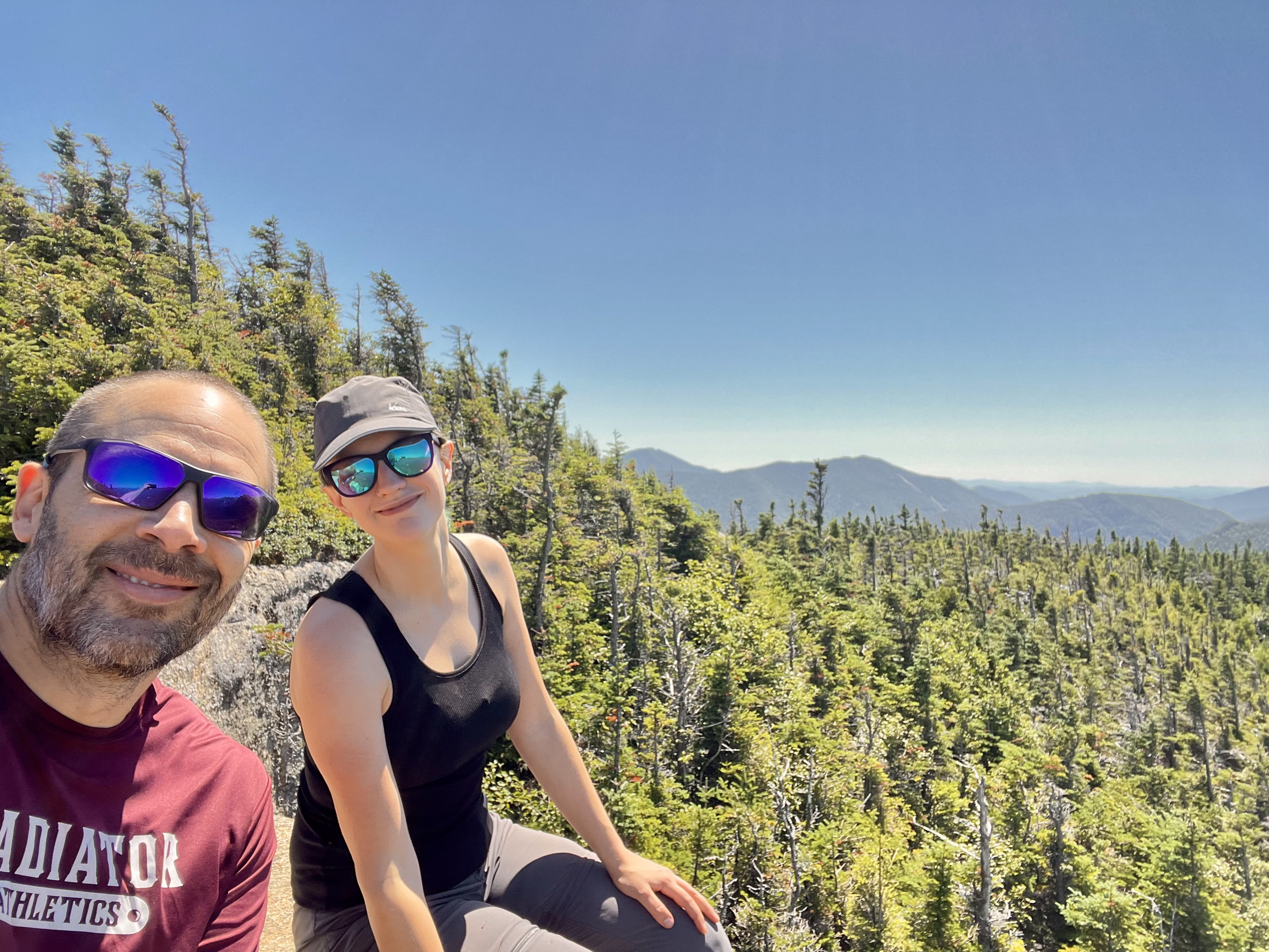
Awww we look so cuuuuuute.

We hung out up there with the other happy hikers for 25 minutes before picking up and moving right along. We decided that we’d assess how we felt on Gothics – adding on Sawteeth is no small feat when tackling the range from this direction. We’d chosen to start at The Garden so we could camp and make the trek more manageable – but that means to get Sawteeth, we’d have to go over Gothics to Pyramid, down Pyramid and up to Sawteeth, then back up over both Pyramid and Gothics, and down the other side. So while this is a 5 High Peak day, it’s really more like 6? Not even including Pyramid.

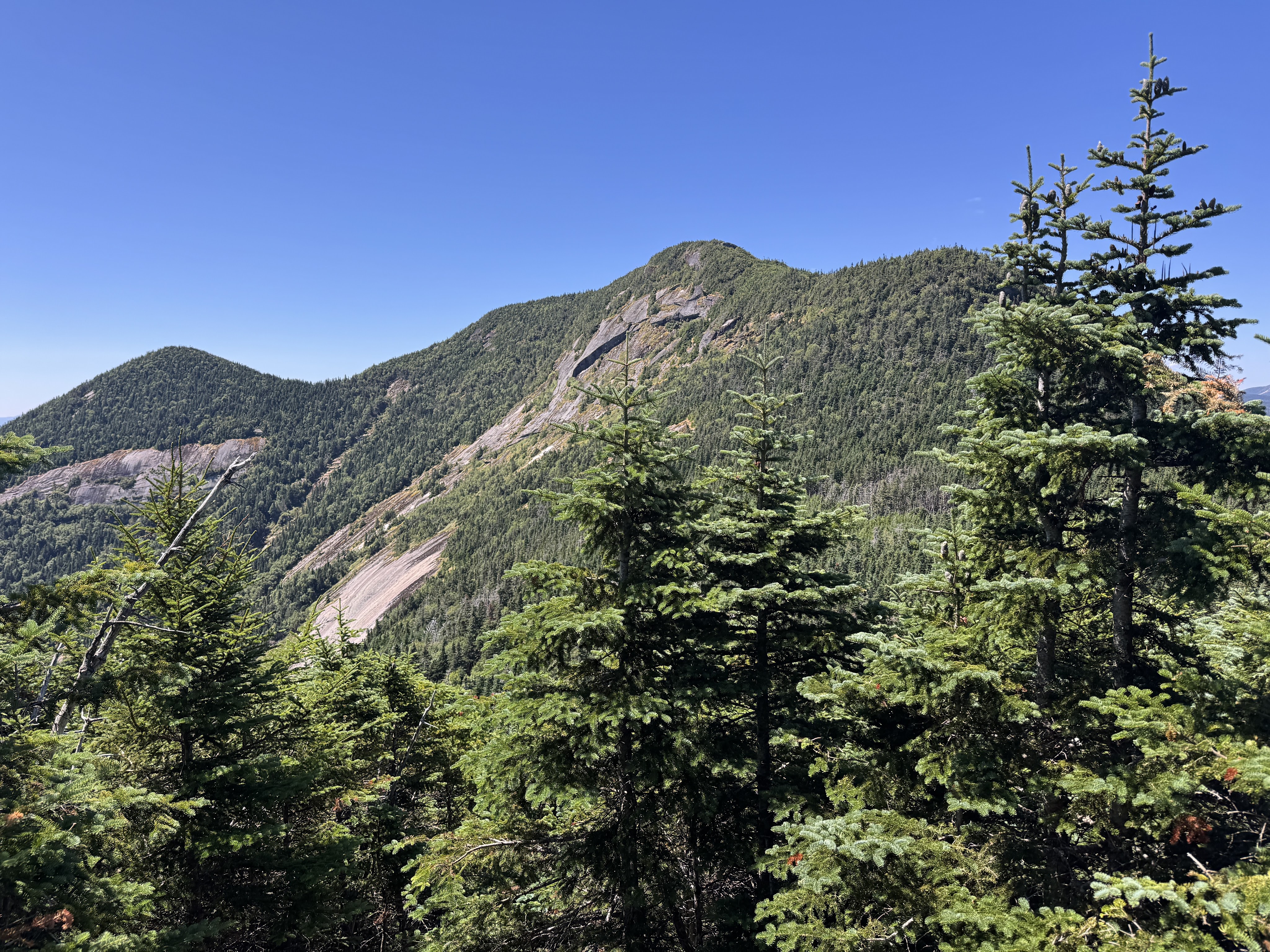
Looking up at Gothics is very intimidating! But I’d heard so much about the view from there, they were what kept me going. We had just 0.4 mile to descend, then 0.6 back up Gothics.

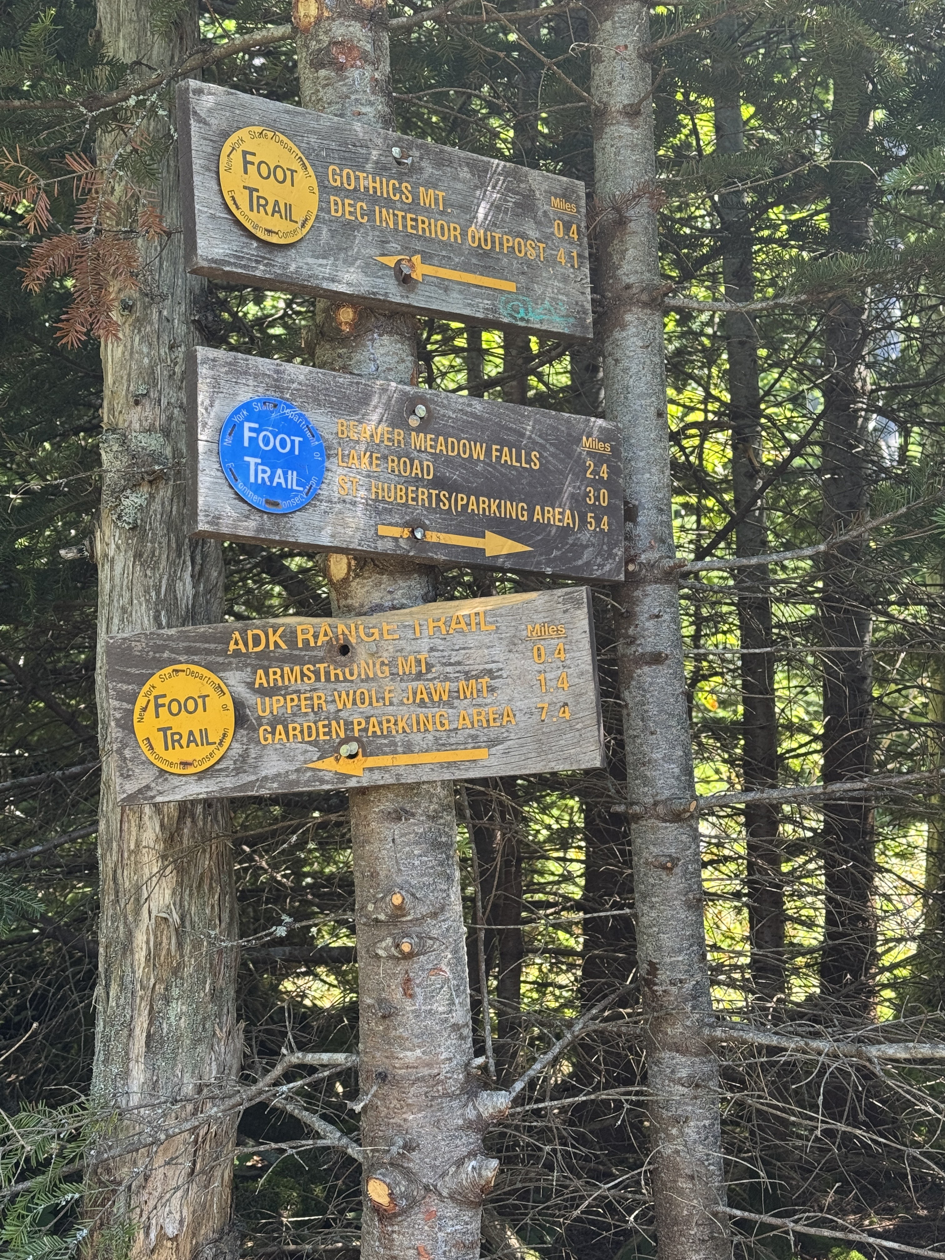
At 12:30pm, after 15 minutes, we’d reached the junction between Armstrong and Gothics. Interestingly, the sign here shows 0.4 to the summit of Gothics, but my Nat Geo map says 0.6. Make of that what you will.

Just past the junction we spotted the most gorgeous little grove of moss. I contemplated taking a nap in it, but ultimately decided against it. Maybe next time.

I love trails like this so much. It’s so cool to see how this mountain is literally just a GIANT rock with a thin coating of organic stuff growing out of it.

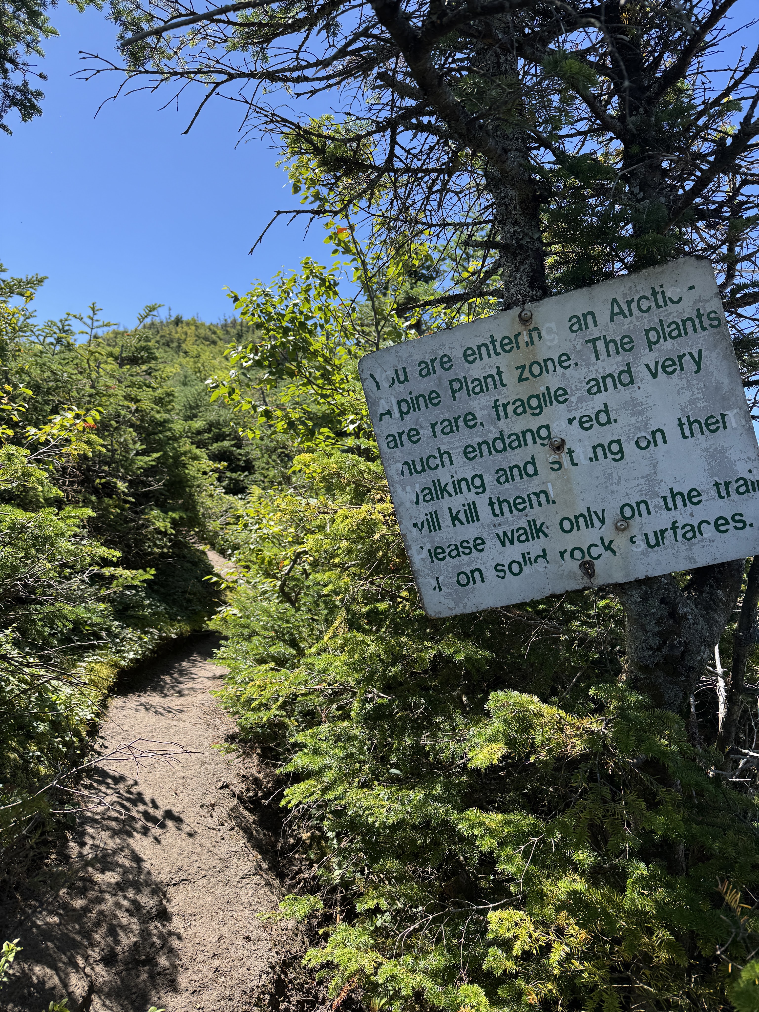
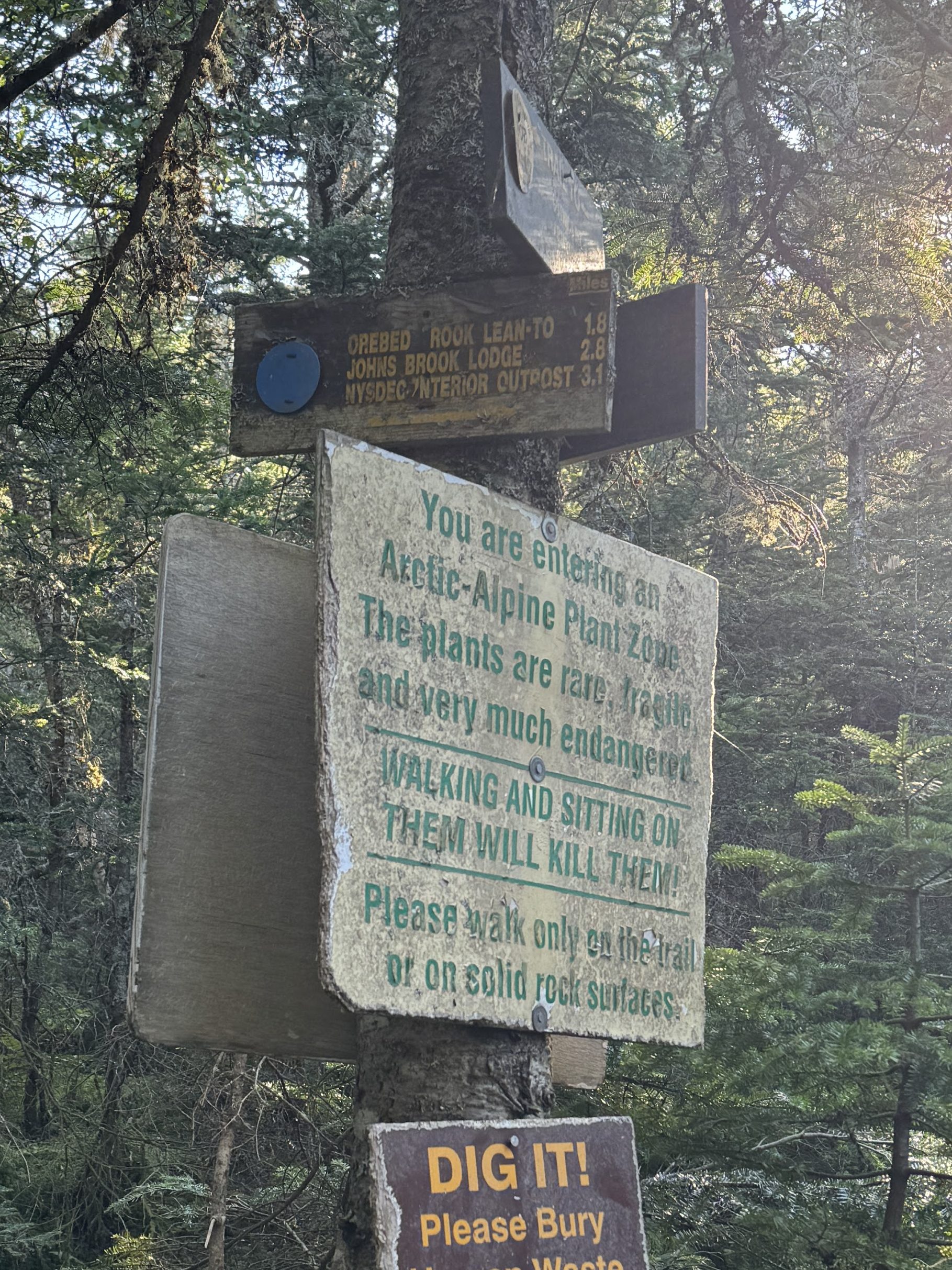
15 minutes later, we were entering the Alpine Plant Zone! That’s always a good sign that we’re getting close!

Looking back towards Armstrong – Gothics is the tallest peak of the day. It felt so empowering to look down on all the other peaks we’d already hit.

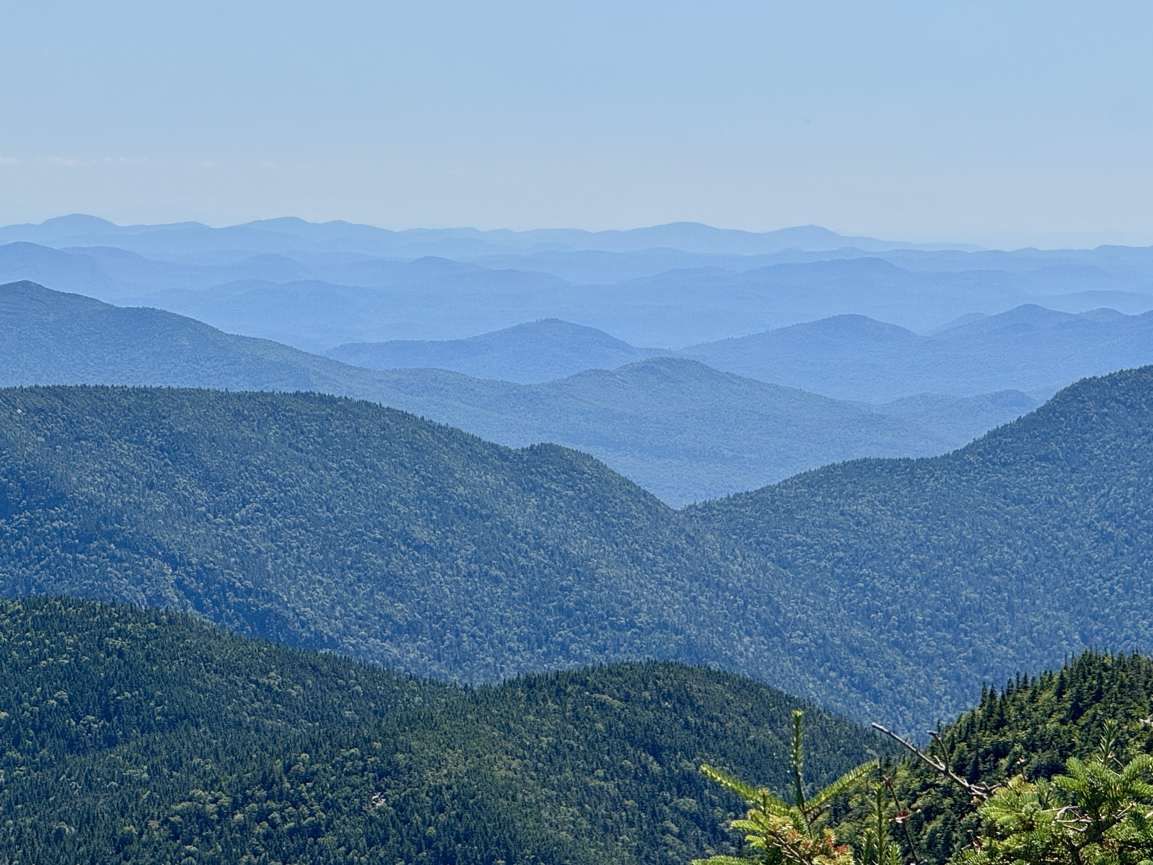
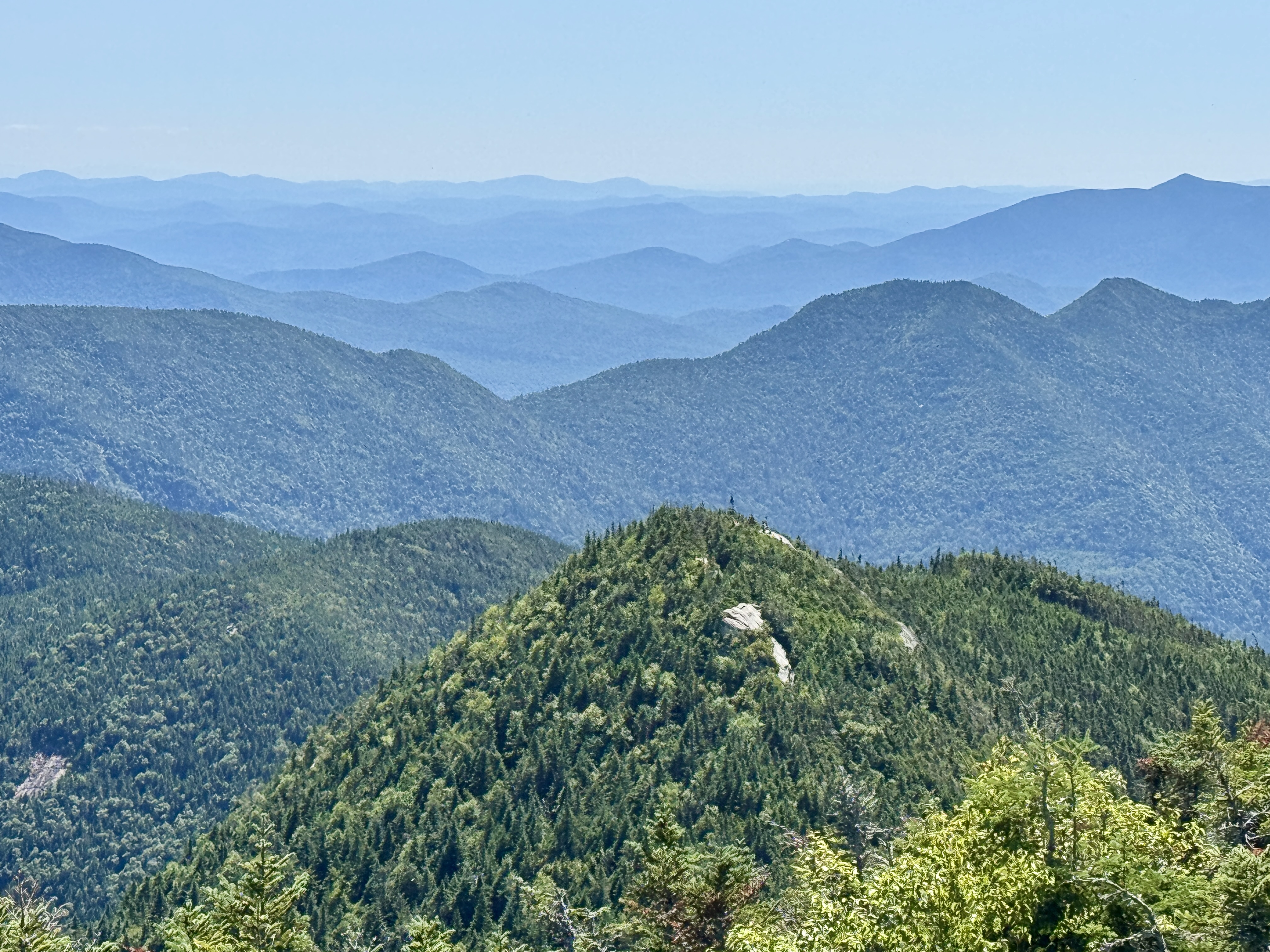
AND WE’D MADE IT! At 12:57, just 40 minutes and 1 mile after leaving Armstrong, we were sat atop the 4th summit and my 37th High Peak!!! Not that I’m counting down or anything. We had a brilliantly clear day – no clouds or haziness from humidity or wildfires – and could see well into the mountains in Vermont. I love so much the layers and shades of blue of the mountains in the distance.

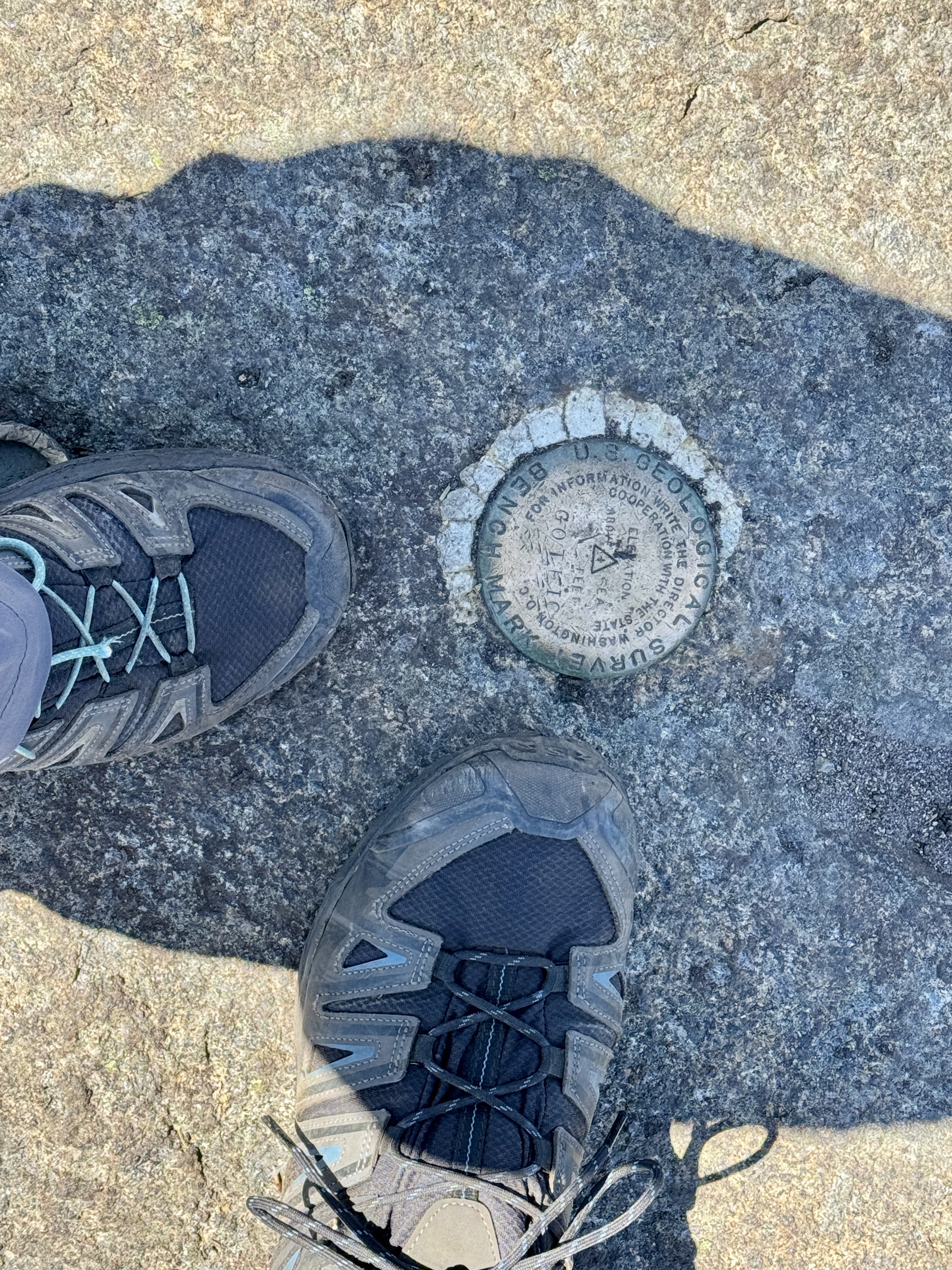
We found the marker in the rock and grabbed a mandatory shoe pic with it. Interestingly, none of the summits had an official sign marking the summit.

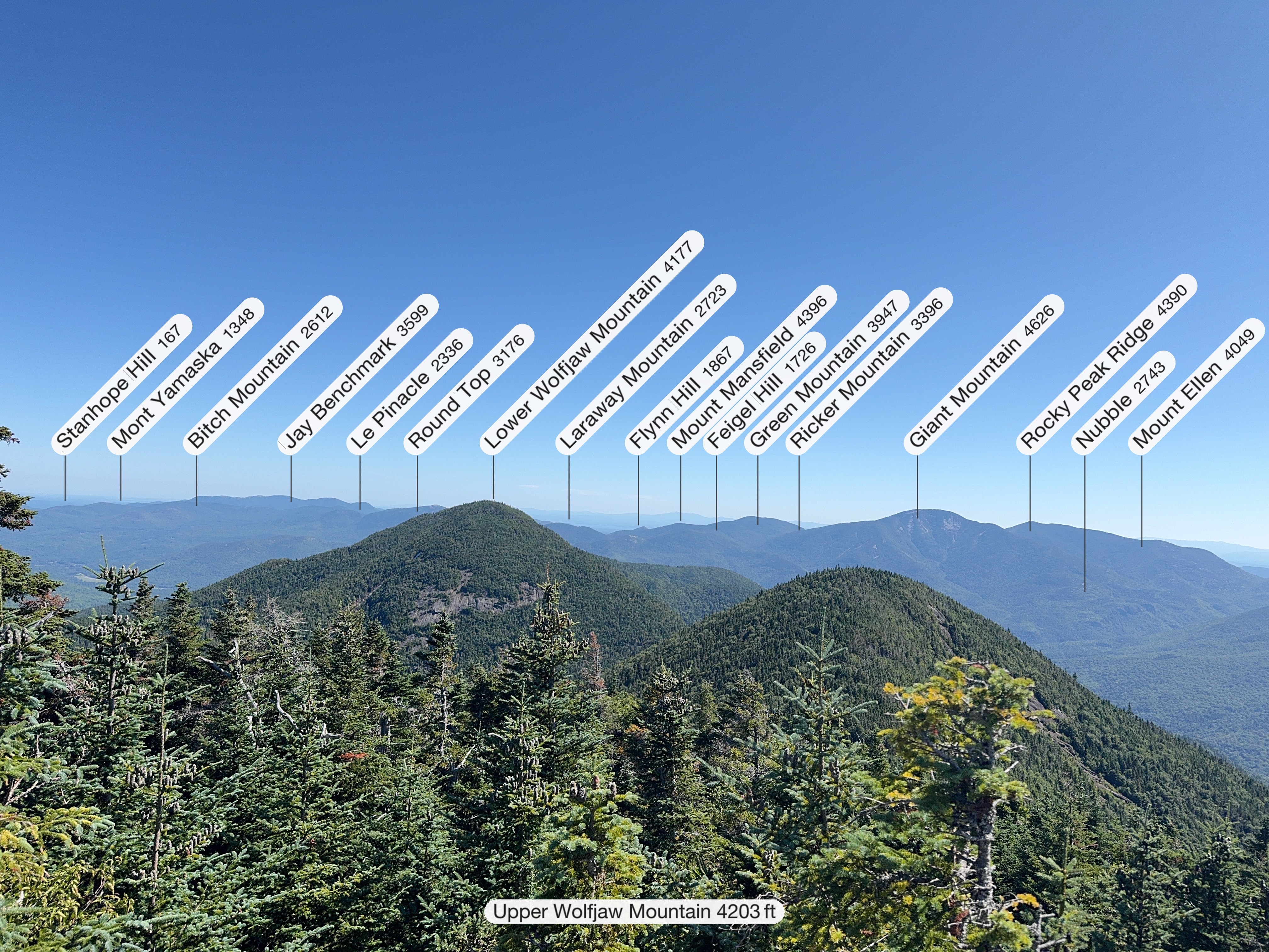
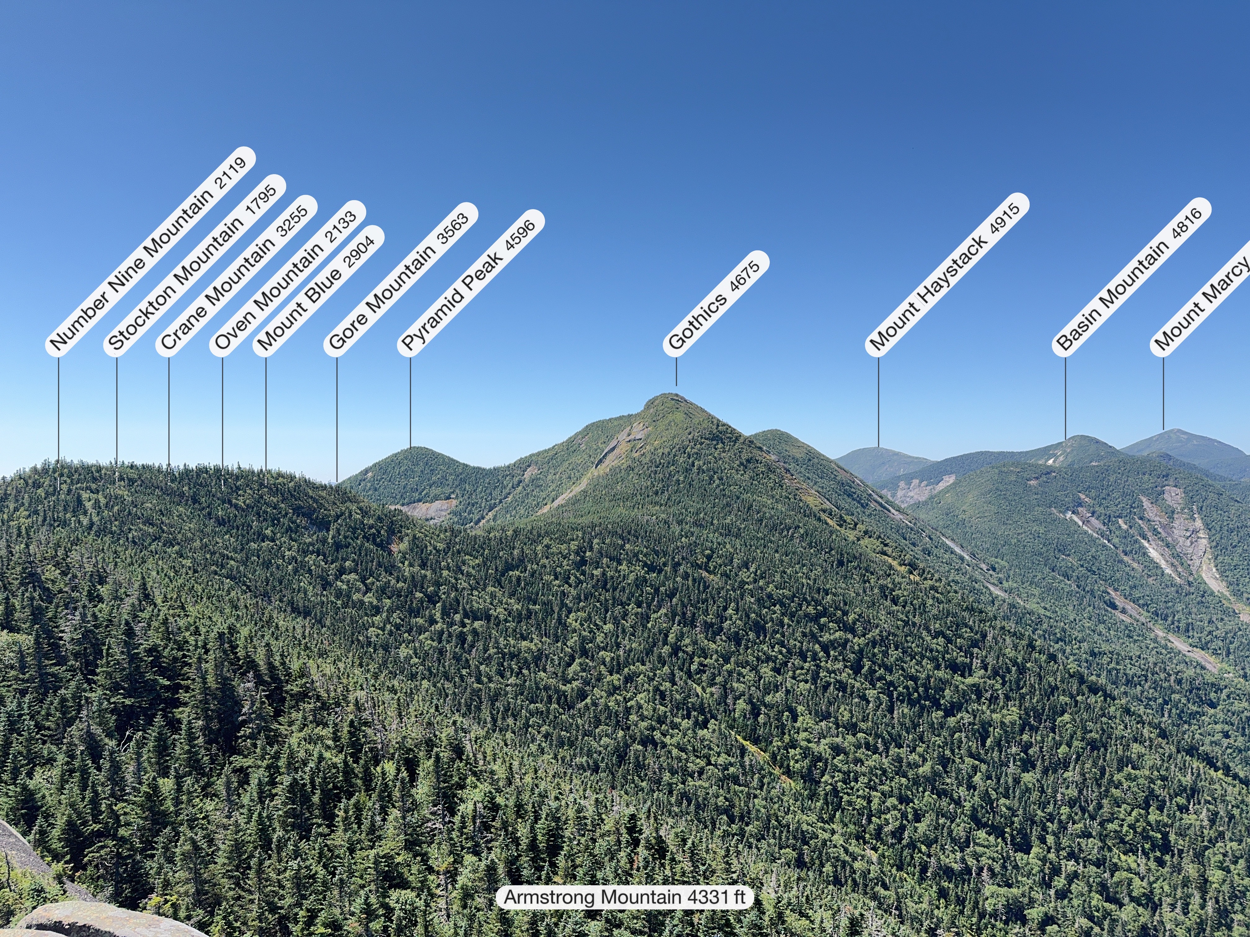
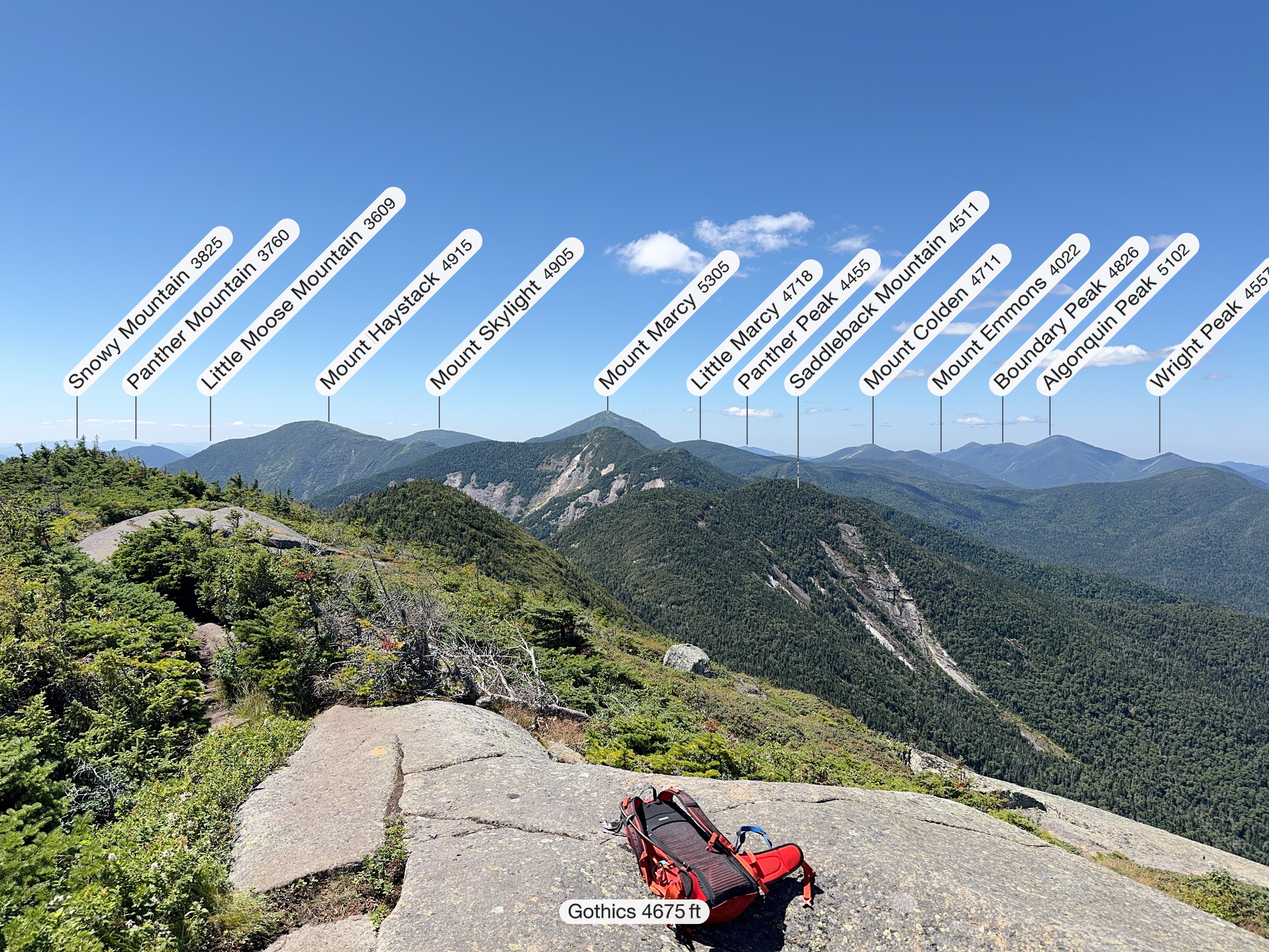
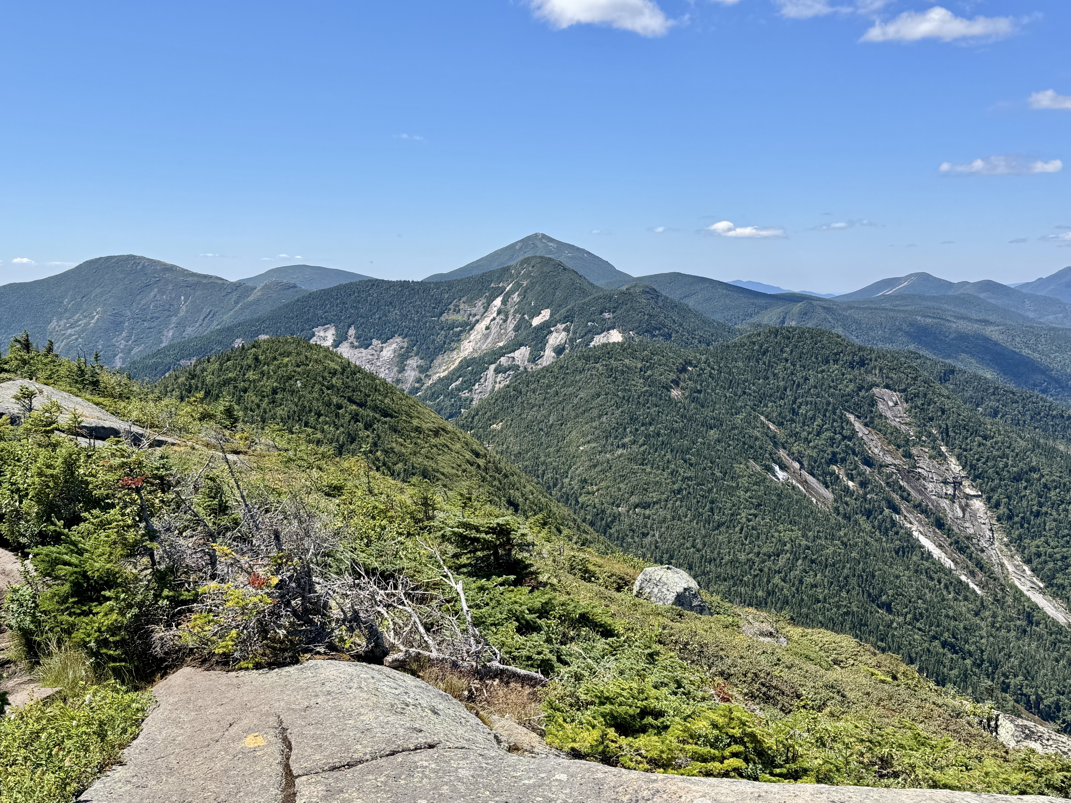
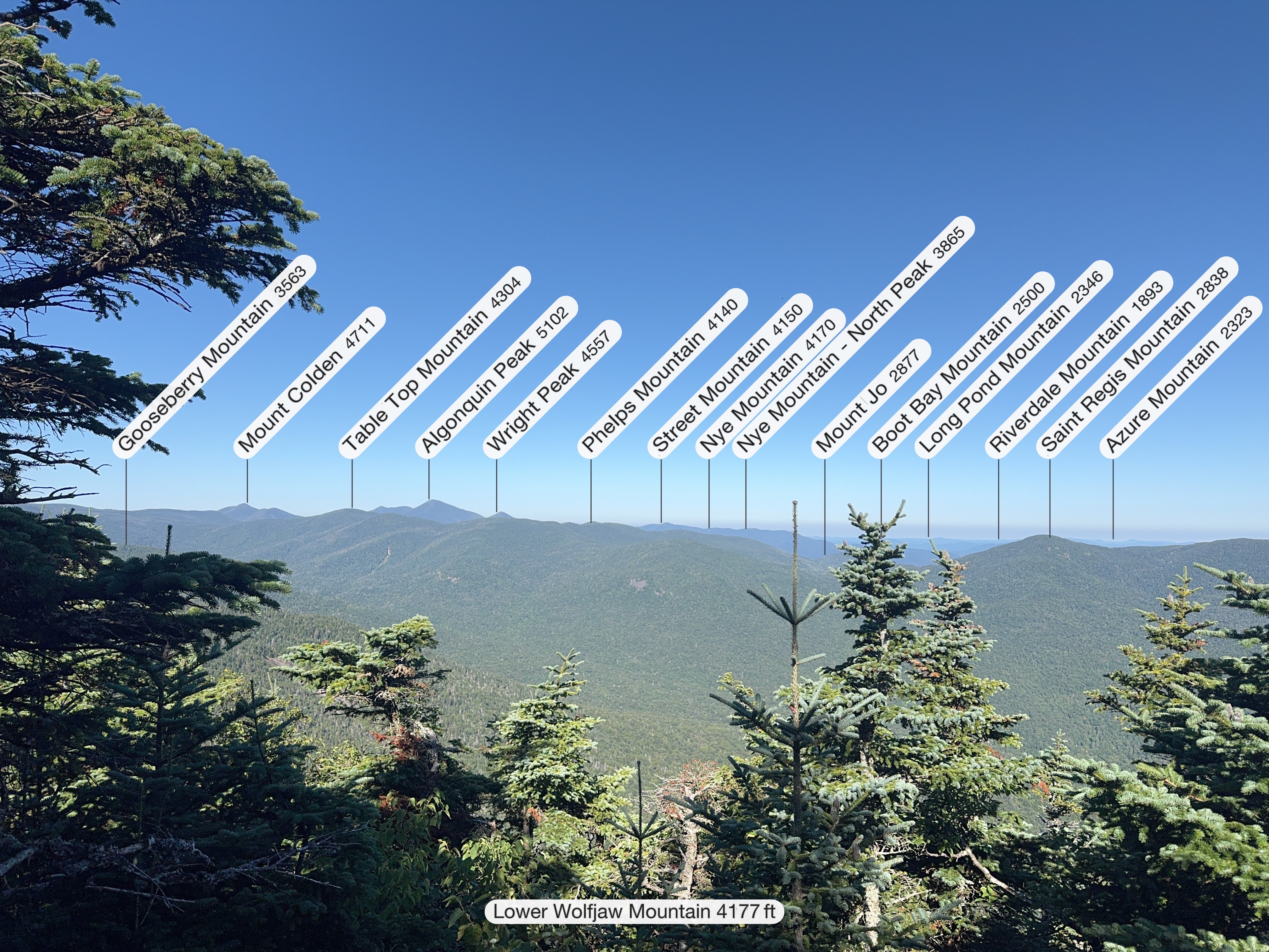
These cool labelled pics come from my Peakfinder app. It’s so interesting to see what all these peaks in the distance are, I’m just terrible at identifying them on my own.


We sat up there in bliss. It was remarkable. The 360 degree views of my favorite place on Earth just filled my heart. Looking down to Pyramid however kind of brought us back down to earth.

That little green bump behind and to the right of Pyramid peak in the middle? That’s Sawteeth. Waaaaaaaay down there.

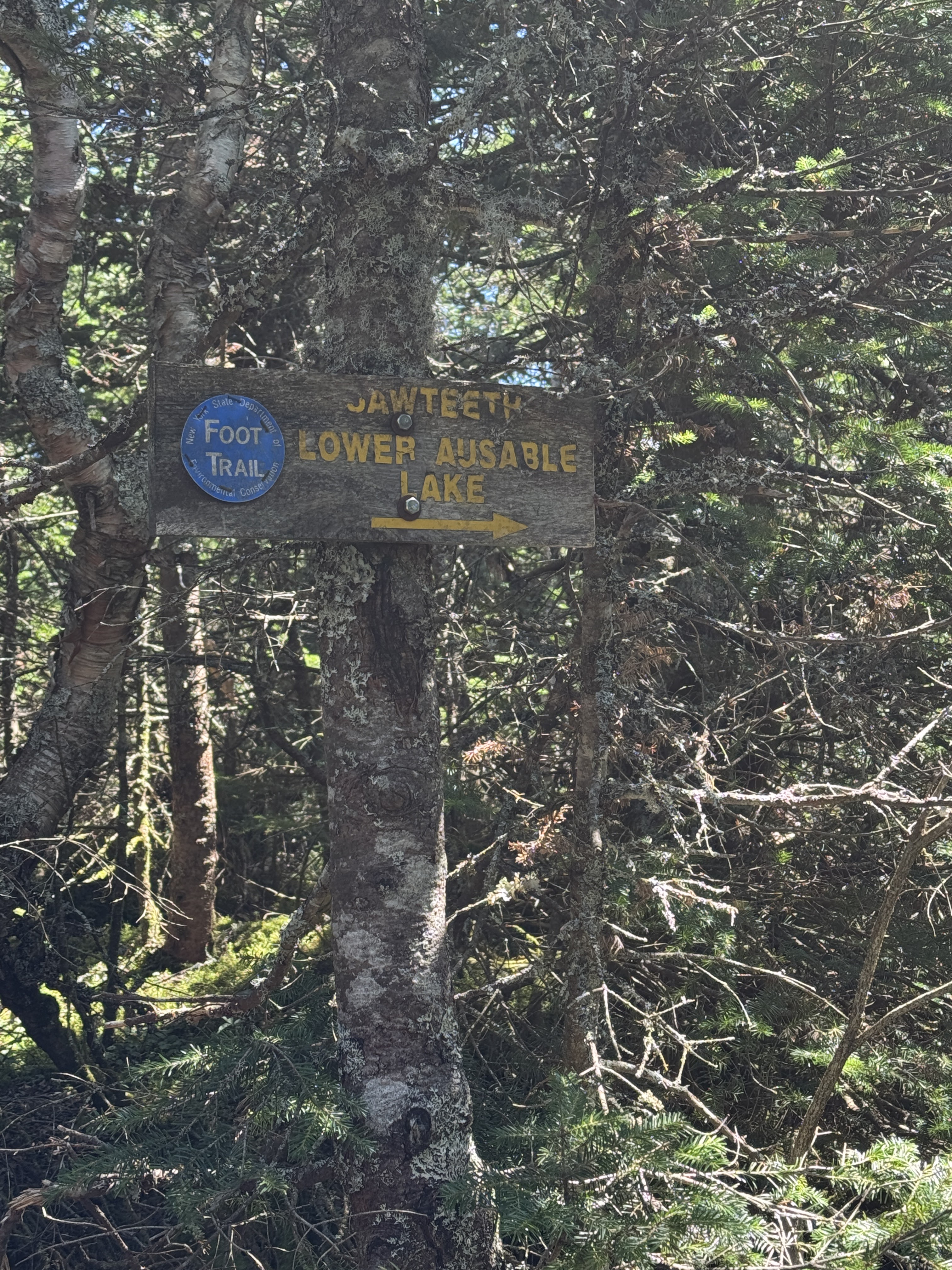
So we had a decision to make. At this point, we’d been hiking for almost 6 hours. We still had plenty of water left, however we’d been subconsciously rationing what we had left knowing that there’s nowhere along the ridge to refill. We could either go back to camp and come back for Sawteeth another day….or, we could go for it. Given the title of this post, I think you know which one we chose.

The junction to Sawteeth is not right at the summit of Gothics – it’s along the ridge a little ways. We made it there at 1:18pm and went left toward Pyramid and Sawteeth.

Views were magnificent. We had fantastic views of the upper great range, with Saddleback right in front of us. It doesn’t look like so much from this angle!


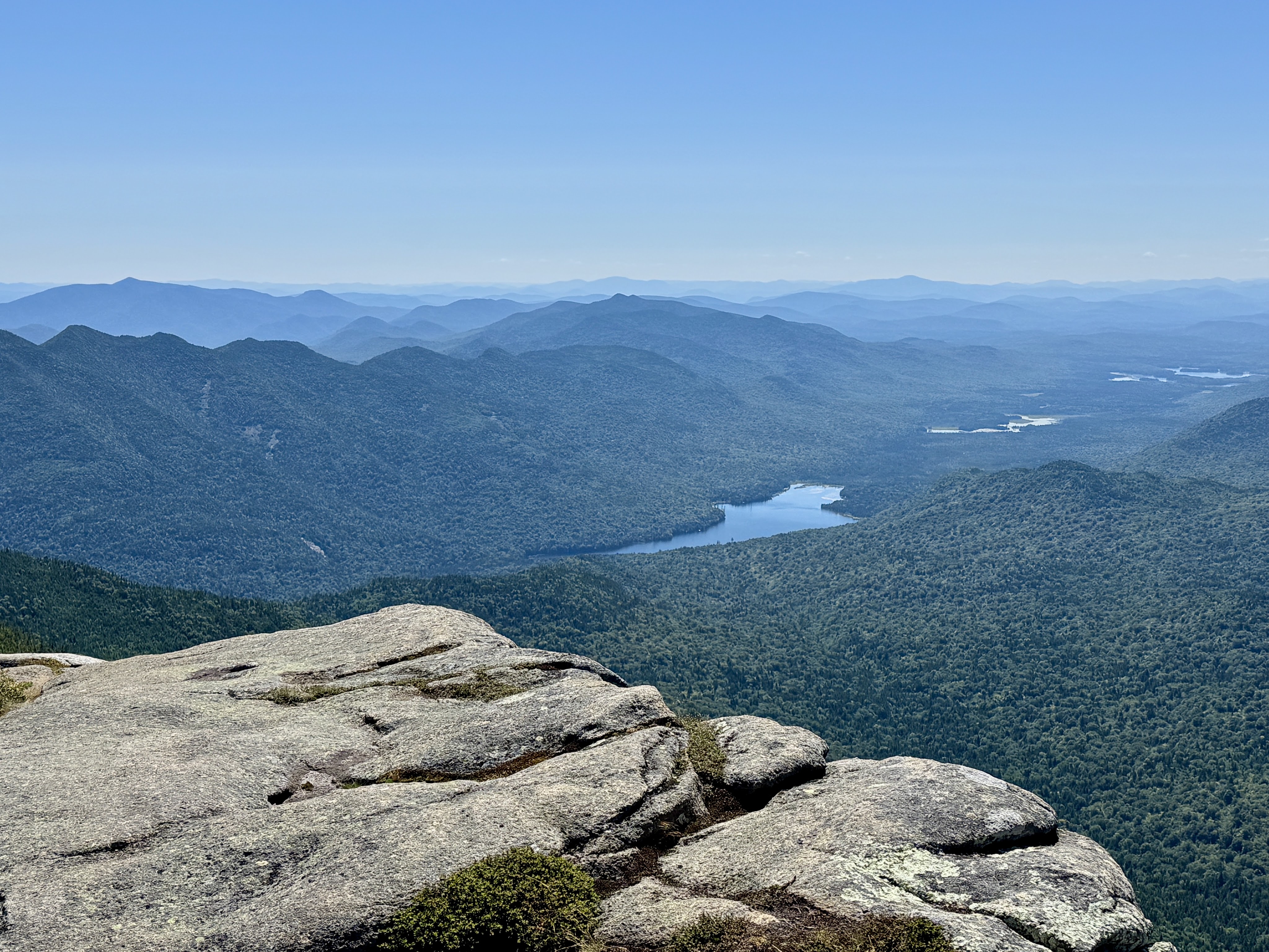
We were pretty exposed up on the shoulder of Gothics so I took a minute to add a layer and my sunglasses to protect me from the sun – AND the very very hungry flies. It was about this time that my fantasy of donning a flying squirrel suit and falling with style to get off the mountain started to kick in. Ausable lake makes a tempting landing strip, IMHO.

The ridge on Gothics is stunning at every step. It was fascinating to look down into a bowl formed by the Great Range, the green valley below and Ausable Lake in the distance.

That sharp jutting rock is Pyramid Peak! While it is over 4000 feet, it’s not considered a high peak in it’s own right because it lacks prominence from Gothics. So instead it’s just a really nice place to stop on the way to Sawteeth. From here, it does look like we have to descend a TON, and like it should take a long time to get there.

We descended for probably 10 minutes on trail like the picture below, then climbed for 5 minutes up Pyramid….

And somehow, that was it! We were there! Literally just a hop and a skip from Gothics – 15 minutes was all it took.

I get the hype about this peak. You get basically all of the views you have on Gothics, PLUS Gothics itself.

We even had a great view of Indian Head and Fish Hawk Cliffs towering over the lake below. Indian head is the rocky outcropping on the left in the picture below, fish hawk cliffs is the one towards the right. We felt sentimental seeing these because we were married on top of Indian Head almost 2 years ago! Of course there’s a blog entry for that trek, check it out if you want: Indian Head.

I’ll be honest, though we’d been in high spirits all day, looking down at Sawteeth….waaaaay down…..did not feel confidence-inspiring. We’d been hiking for over 6 hours and after summitting Sawteeth we’d still have another 5.5 miles to go to get back to camp. Fortunately I was still feeling good, no unusual pains, but we started seriously considering hiking out on Lake Rd, getting a ride (somehow??) back to The Garden, and hiking back in. I really didn’t know which option was worse at this point, so I said let’s just get there and then decide what to do.

Coming down from Pyramid was STEEP. It was the first time I wasn’t totally loving the trail all day. It just. kept. goinggggg. Theoretically (based on the map, if you trust that thing) it should have only been 0.9 miles from the top of Gothics down to the col, and another 0.5 back up to Sawteeth. I tell you from experience it was at least 10 miles. Maybe even 20. The map is wrong.

There’s got to be some fancy word for the psychological phenomenon that occurs when you’re hiking down something that you know you’re just going to have to come right back up. Dread? Is that the word I’m looking for?

Tell me HOW it took us 50 minutes after leaving Pyramid Peak – a full hour and 10 minutes from Gothics – to reach the col?! Why did it take us so long?! Partway down, we were guessing that we just had a tenth or two of a mile left to go, when a kind woman coming up said she estimated we still had SIX TENTHS TO GO. What do you MEAN?!? I’m telling you….10 miles.

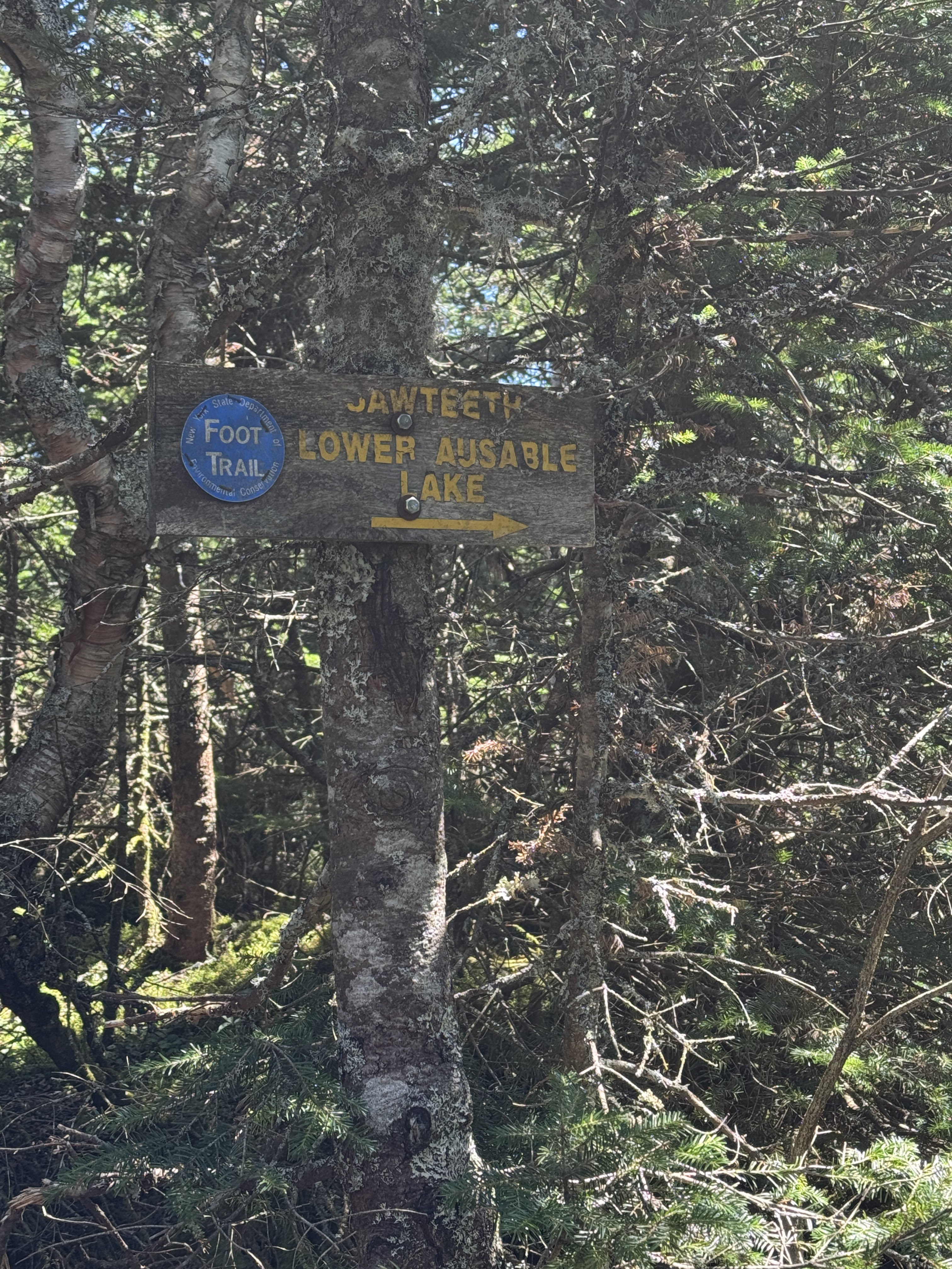
Eventually, we reached the col and a bit of flat ground before the climbing started again. At the junction, we met a woman who’d come up over Sawteeth who let us know the way ahead was quite steep. Oh joy.

Really, the first few tenths of a mile weren’t steep at all, just the last section was. This last 0.5 mile took us the expected 20 minutes to reach the summit, and then there we were.

And you might be thinking, ‘Oh wow! What a beautiful view though!’ Friend, THAT IS GOTHICS IN THE MIDDLE OF THAT PICTURE. That mountain seemingly 3 lightyears in the distance? We had to go BACK up and over that. Who planned this trip anyway.

Ah right, it was this chica right here. What a ding dong. A ding dong with 38 high peaks under her belt!!!!! As my sherpa would regularly remind me to try to keep my spirits up on the long slog back to camp, ‘What number are you at?!’ ‘Thirty – effing – eight 😩’.

Hand on hip, serious contemplation going on here. Of what, you might ask? Well, if it’s possible for us to bushwhack our way around Gothics, through that pass way over there. Complete with audible complaining.

At some point I decided it was best to just….not look up. 7.5h into our trek, up and over 5 high peaks, and we basically still had to summit one more – Gothics again. (Ok ok you’re probably telling me to shut up and stop my complaining at this point – I swear I’m usually pretty happy go lucky about being in the mountains – but I was really concerned about my body’s actual ability to do this without winding up in excruciating pain, and landing in a flare the next day. When I flare, I’m useless – can’t even get out of bed, let alone carry camping gear on my back and hike out 4 miles.) Ultimately though we did decide to go back over Gothics rather than face the unknown journey of Lake Rd.

We stayed for 20 minutes before continuing on our way, enjoying some snacks and water. Somehow, I completely forgot to pack our Victory Chocolate! So we agreed to eat some Victory Tuna when we made it back up Gothics. We headed back down to the col at around 3:20 and made it to the junction 20 minutes later, and started the loooooong steep climb back up Pyramid. I, a professional rock skedaddler, employed my impeccable technique for climbing up steep slides. It….looks more impressive in person.

40 minutes later, we were back on top of Pyramid, trying to avoid eye contact with Gothics looming above us, and headed right back down the other side. There’s exactly one square foot of ground between Pyramid and Gothics between descending and ascending, so we grabbed a victory shot of that.

By now we were getting pretty exhausted. I estimate we’d gained and lost somewhere around 4000 feet in elevation and had been hiking continuously, save for a few short breaks, for nearly 9 hours. That was something I hadn’t factored in to deciding on Sawteeth – the sheer exhaustion of having to go down and back up.

10 minutes from the col between Pyramid and Gothics, and a full hour and 20 minutes after leaving Sawteeth, we were back on top of Gothics.

We really needed a break to have a snack and rest our legs and I don’t think we could have chosen a better spot. This is on the trail down to the Ore Bed Brook, on the shoulder of Gothics. We actually toyed with the idea of hanging out on Gothics until sunset, but it was only 4:50pm and the sun wouldn’t set for a few more hours and we badly needed to refill our water supply. There were no clouds anyway, so the sunset would have been disappointing (this is what I tell myself anyway).

Victory Tuna is a pretty poor substitute for Victory Chocolate, but hey, at least get got some protein!

Coming down the back side of Gothics is super cool. I felt like a proper mountaineer – all smooth slabs of rock and incredible view of the tallest peaks in the ADKs. We were heading directly towards Saddleback, where we’d been just a few weeks prior.

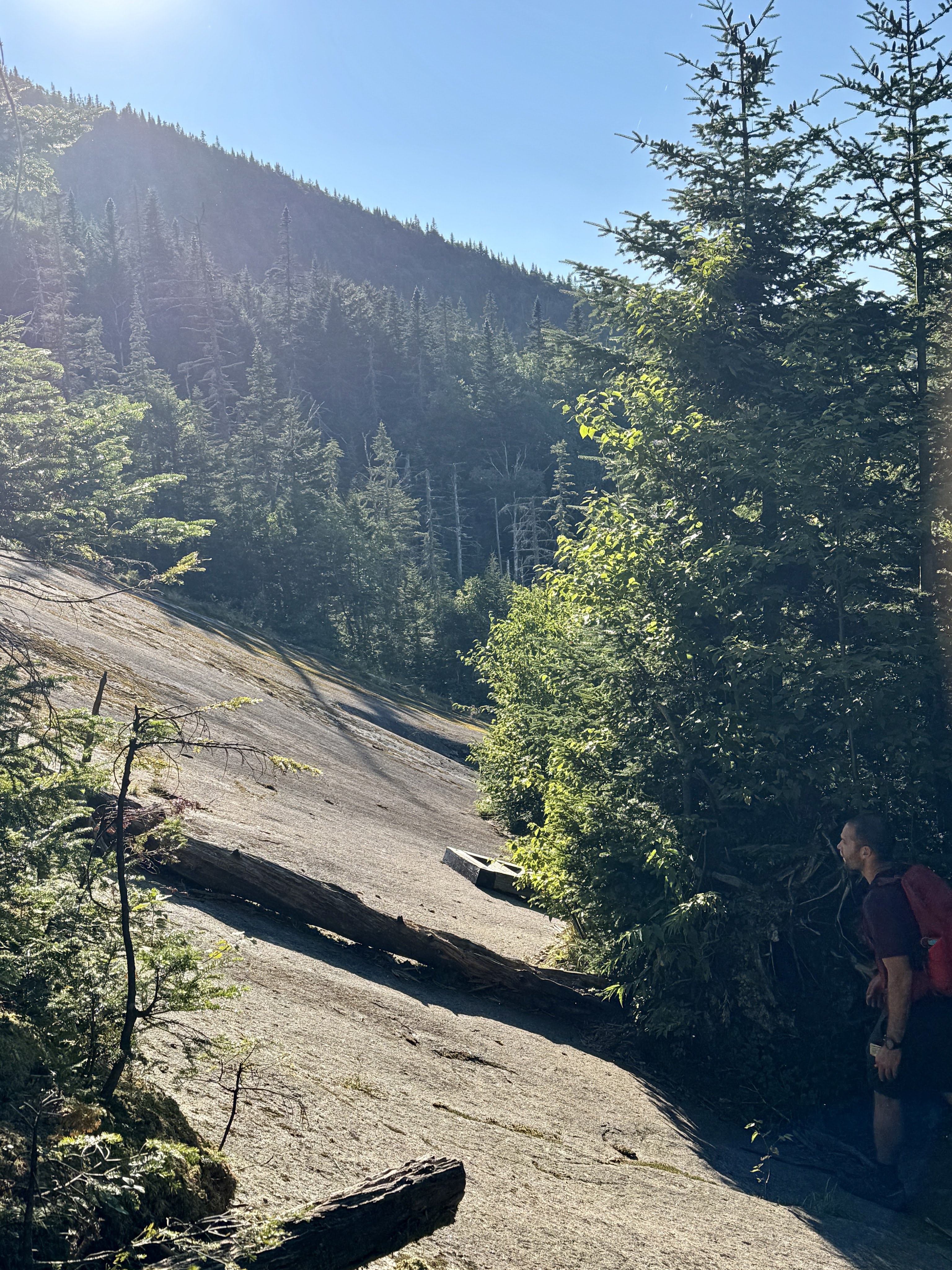
The features on this side of the mountain are awe-inspiring. Check out this huge crack in the rock that Gildo beckoned me to come see.

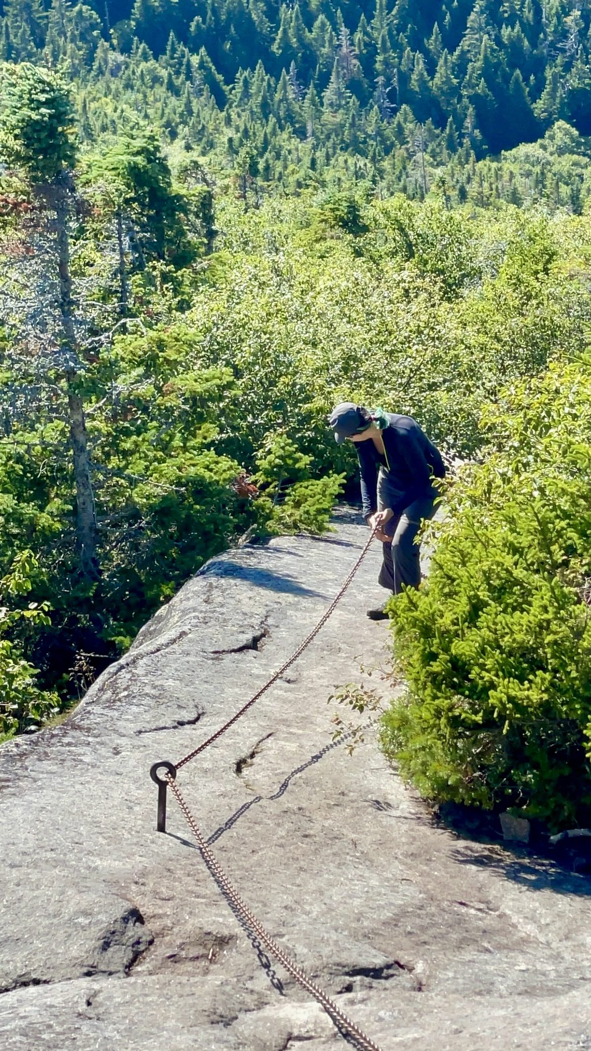
I had totally forgotten until we saw them that the cables are on this route! I was so excited to use them, and they didn’t show up a moment too soon. My legs were tired and wobbly – walking on a decline down a smooth slide is the most tiring thing in my experience, more than boulders and rocks, because there’s no way to really adjust how you step to give muscle groups a break – you just have to keep going.

My toes were getting real acquainted with the tips of my boots, so I took the opportunity to descend backwards using the heavy chains to counterbalance me. Pictures just don’t do justice for how steep this was.

“This is the slide that never ends, it goes on and on my friends…” According to the map, the slide is less than 0.5 mile long, but it felt much longer. It took us about 35 minutes, going a little more slowly because my knees were starting to tweak, to make it to the junction with Saddleback and the Ore Bed Brook.

After this point on, I didn’t take many pictures because I was using my poles. I successfully avoided using them earlier in the day to try to save my elbows – they hurt when I put weight on them – but now with my knees showing signs of distress, it was time. Ore Bed Brook is probably no ones first choice of path to descend the Lower Great Range on, it’s rocky and tricky and my dedicated sherpa turned around every few steps to lift me down steep and treacherous obstacles. If you want more pictures and descriptions, go check out my report from HaBaSa. At any rate, it took us 20 minutes from the junction to reach the most amazing stairs in all of the Adirondacks – a sight for sore eyes!

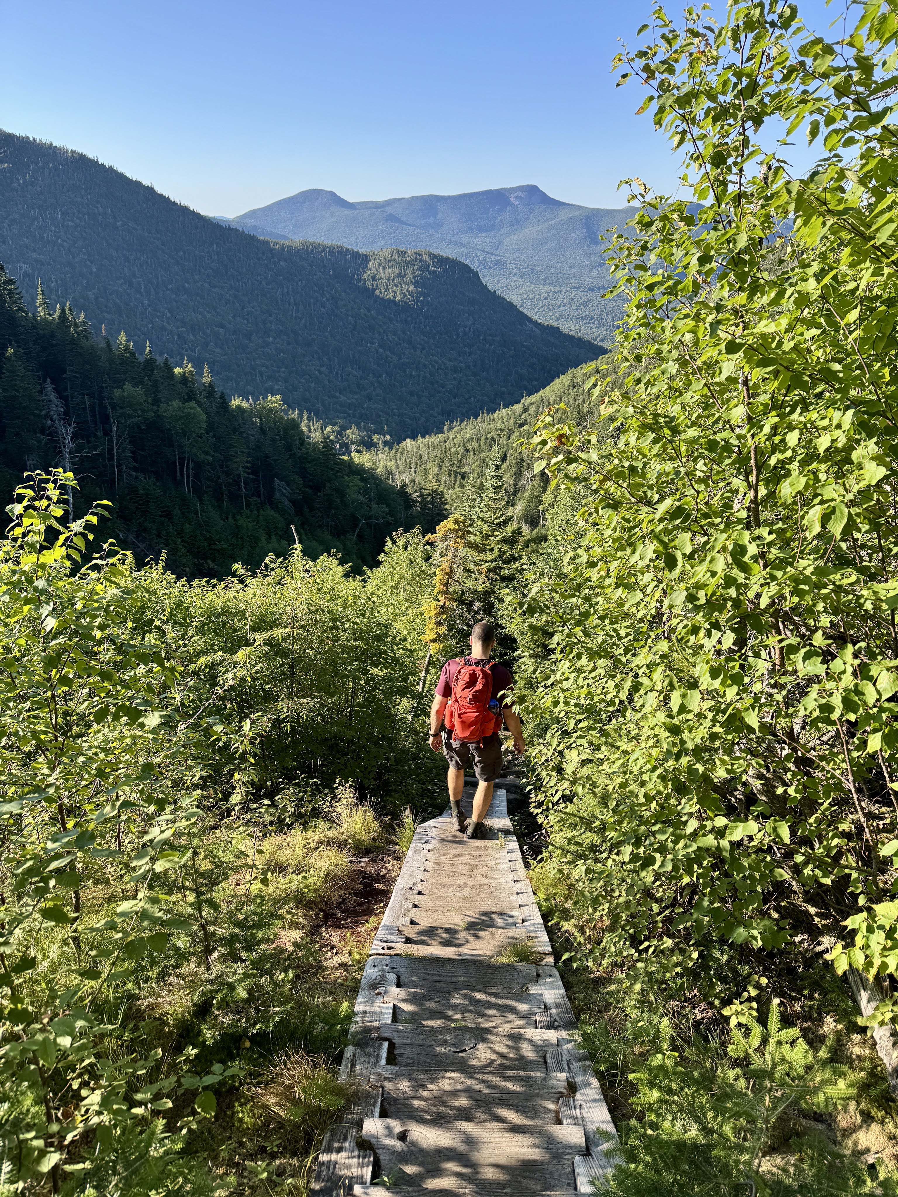
I love these stairs. I love them so much. Pay no attention to the look of focus on my face – when the knees get tweaky, I need to concentrate completely on every single step I take, and I just look grumpy.

By now it was 6pm and we were out of water minus a sip or two left in one of the bottles. We kept an eyes out for easily-accessible streams to filter some water from along the way.

At 7pm, we found water! This trail down the Ore Bed Brook is loooong and rocky, 2.5 miles in total with a lean-to marking the 1.8 mile mark. I was feeling the dehydration and moving pretty slowly. I couldn’t tell if I was experiencing my unusual pain or if my body was simply utterly exhausted, stiff, and fatigued. Gildo stayed at the stream to filter some water and sent me on my way to cover some ground at my snail’s pace, so on I went.

At 7:25pm I reached the lean-to – just a little over a mile and a half to get back to camp, and Gildo caught up with me at about that point. A nice gulp of cool water and I felt like a dried up sponge coming back to life.

At 7:52pm, 2 hours and 10 minutes after leaving the junction at the top of the Ore Bed trail, we reached the next junction. Just over 1 mile left to go – 0.8 miles back up a hill to the junction with the Wolf Jaw lean-to, the back down to camp.


By now the sun had set and we donned our headlamps. In my memory, I was moving agonizingly slowly, but in reality, we hiked that 0.8 mile stretch to the junction in just 30 minutes.

The short trod back to the camp never felt so long – Gildo went ahead to look for it while I slowly plodded on, quietly willing my body to go just a little further. I was worried we’d passed it, breaking at the possibility of having to go back up and considering just sleeping under a nice tree somewhere. But then my headlamp illuminated Gildo just ahead, next to the tree with the indicator for our camp. We’d made it just before 9pm, 13.5 hours after starting.

We wasted no time in preparing some food, cleaning up our dirt and sweat with a wet shirt (well Gildo went for a frigid dip in the stream to clean up…I did not.), and passing out.

Saturday 8/16 – Over and Out

All in all, I think most of my pain from the previous day was more or less normal, and I was just stiff and exhausted in a totally normal way! We woke up at around 8 in the morning feeling surprisingly good, ate our breakfast, and got the heck out of there at just before 10am. I was so excited to be home, take a shower, and pet my dogs. Oh, and it was my birthday!! I’m in absolute shock that I felt so good – not even sore, just a bit stiff – which was the best birthday present I could have ever asked for.

I won’t ramble on much longer – the hike out was smooth. A ranger at the outpost joked that I made Gildo carry all the camp gear, and I said Yep! I know what I’m doing! My sherpa sure is a trooper, and he does it all with a smile on his face if he knows that he’s enabling me to accomplish my dreams.

For a beautiful Saturday morning, we really thought we’d see more people, but that wasn’t the case! We alternated quiet walking with happy banter, and decidedly agreed that between HaBaSa and the lower great range (at least the way we’d done it), the lower great range was harder. In my mind, I completely equate Sawteeth with Couchsachraga. I know they’re different – I know Sawteeth at least has a view, and the only way to summit Couch is up and over the Santanoni range while Sawteeth has several options. But the way we’d done it….yeah, it felt very similar. If I did this again, I would not add on Sawteeth. It took a really enjoyable day and honestly made it much more stressful, painful, and exhausting. That said, I’m very glad I did it! 38 baby!


Look at us – we reached The Garden just an hour and 40 minutes after leaving camp, covering those 4 miles at an excellent pace. I hope you enjoyed this long read, I’m looking forward to giving you just 4 more trip reports before I finally complete my 46er journey. Happy Hiking!

38 down, 8 to go.

Lower Wolf Jaw: 4175′

Upper Wolf Jaw: 4185′

Armstrong: 4400′

Gothics: 4736′

Sawteeth: 4100′

Total Duration: ~17 hours total

Total Distance: ~16 miles

All images are property of adktrailtalesandtails and may only be used with express permission.