
12/06/2015
Weather: Beautiful, temp in the 30s
After two months of telling my hiking buddy Sam all about my trip up St. Regis, we decided today would be the perfect day for a summit trip. We left a little after 8am, and finally got to the trail around 10 (it took us half an hour longer to get there than usual…I think because I kept stopping the car to take pictures! Ha!). The trip down was very foggy, which looked cool and all, but we were nervous that the weather wouldn’t clear up. Either way, we wouldn’t let weather ruin our much-anticipated day of hiking.


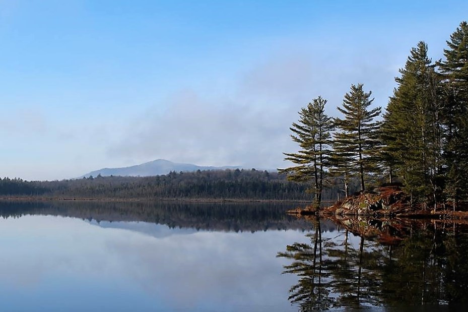
Luckily, by the time we neared Barnum Pond (which I lovingly refer to in my head as the Gateway to the Adirondacks…It’s the first landmark that tells me I’m getting close!) the weather had cleared significantly to reveal a beautiful crisp day. Barnum Pond was especially gorgeous and crystal clear. I was all ready to say “Forget hiking, lets go kayaking!” but I wanted to finish what we set out to do, so on we went.

We got to the trailhead and started walking at 10:20am after signing in at the register. The trail starts off near a pretty little brook, and I was grateful to have a hiking buddy that didn’t mind me stopping every 2 minutes to snap pictures (and lying upsidedown in the dirt under some cool icicles to get just the right angle).


The trail was vibrantly green, and we really took our time, trying to take in the last vestiges of green we’ll see until…May. Winters are brutal up here!


We reached the first lookout around noon and had our spirits restored by the amazing sights. We stuck around just long enough to snap a few pictures, then I actually started running up the steep trail to the summit (I was just a little excited…).


We finally made it to the summit at 12:30pm, and stared open-mouthed for a while before snapping a few pictures (of course) and having some very cold lunch. It was UNBELIEVABLY windy!

However the views were incredible.So incredible that I had to choose from maybe 50 awesome photos to post on here. Life’s just full of tough decisions >.< .


The firetower was still out of commission, but we didn’t let that stop us from climbing up a few flights (don’t worry, it was structurally sound, they were just rebuilding the bottom steps…which weren’t there, so we had to get creative). We didn’t dare go up to the top though for fear of being blown right off the mountain. I think we only made it to the second platform.


We hung around the top for a while, chatted with a couple of older guys with a dog, snapped a few more photos, and began the trek back down. (After finding the summit plaque, of course!)


The way down was tricky, so I put my camera away for the worst of it and mostly slid down on my butt, a move I’ve dubbed the Butt Scoot. So graceful.

We eventually made it back down to safer ground and I took some time (as usual) taking pictures of cool stuff, like permafrost coming up out of the ground! How cool is that?


After delaying the inevitable, we made it to the end of the trail, signed out at the register, and immediately began making plans for our next mountain hike.

St. Regis Mountain: 2874′ Elevation Gain: 1532′
Round Trip Distance: 6.2 miles
Total Duration: 4.75 hours
All images are property of adktrailtalesandtails and may only be used with express permission.

One thought on “St. Regis Mountain”